The best road cycling routes around Twineham
4.5
(230)
9,210
riders
370
rides
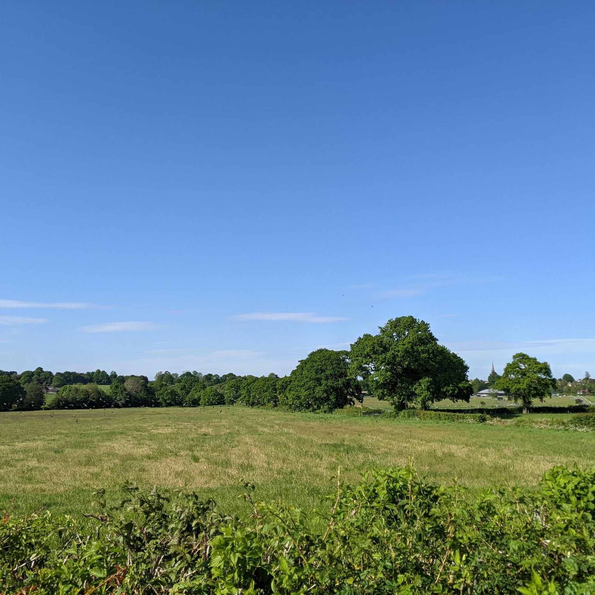
Road cycling routes around Twineham traverse the gently undulating Low Weald countryside, characterized by open fields, lush streams, and quiet rural lanes. The area offers a serene environment for cyclists, with its network of less-trafficked roads providing a pleasant experience. Situated between the River Adur and Herrings Stream, Twineham's landscape features verdant scenery. Its proximity to the South Downs National Park also allows access to more challenging routes and varied terrain.
Best road cycling routes around Twineham
- The most popular…
Last updated: June 26, 2026
5.0
(3)
110
riders
Moderate road ride. Good fitness required. Some segments of this route may be unpaved and difficult to ride.
13
riders
24.5km
01:08
170m
170m
Easy road ride. Great for any fitness level. Mostly well-paved surfaces and easy to ride.

Sign up for free
13
riders
Easy road ride. Great for any fitness level. Mostly well-paved surfaces and easy to ride.
6
riders
34.7km
01:41
470m
470m
Moderate road ride. Good fitness required. Mostly well-paved surfaces and easy to ride.
8
riders
23.0km
01:03
150m
150m
Easy road ride. Great for any fitness level. Mostly well-paved surfaces and easy to ride.
Get access to more routes and recommendations from other explorers.
Sign up for free
Already have an account?
Our route recommendations are based on thousands of hikes, rides, and runs completed by other people on komoot.
Start today with a free account
Your next adventure awaits.
Login or Signup
Tips from the Community


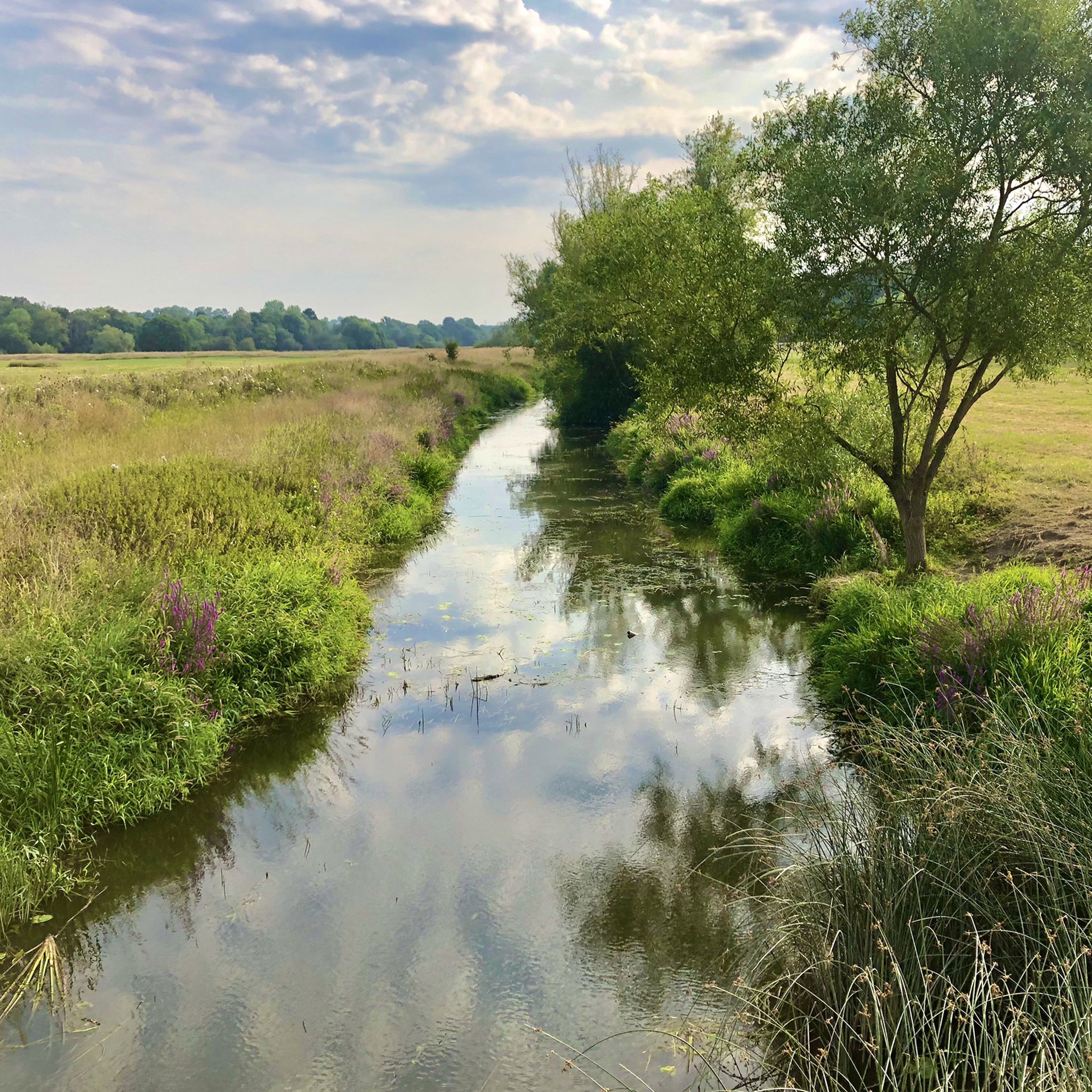
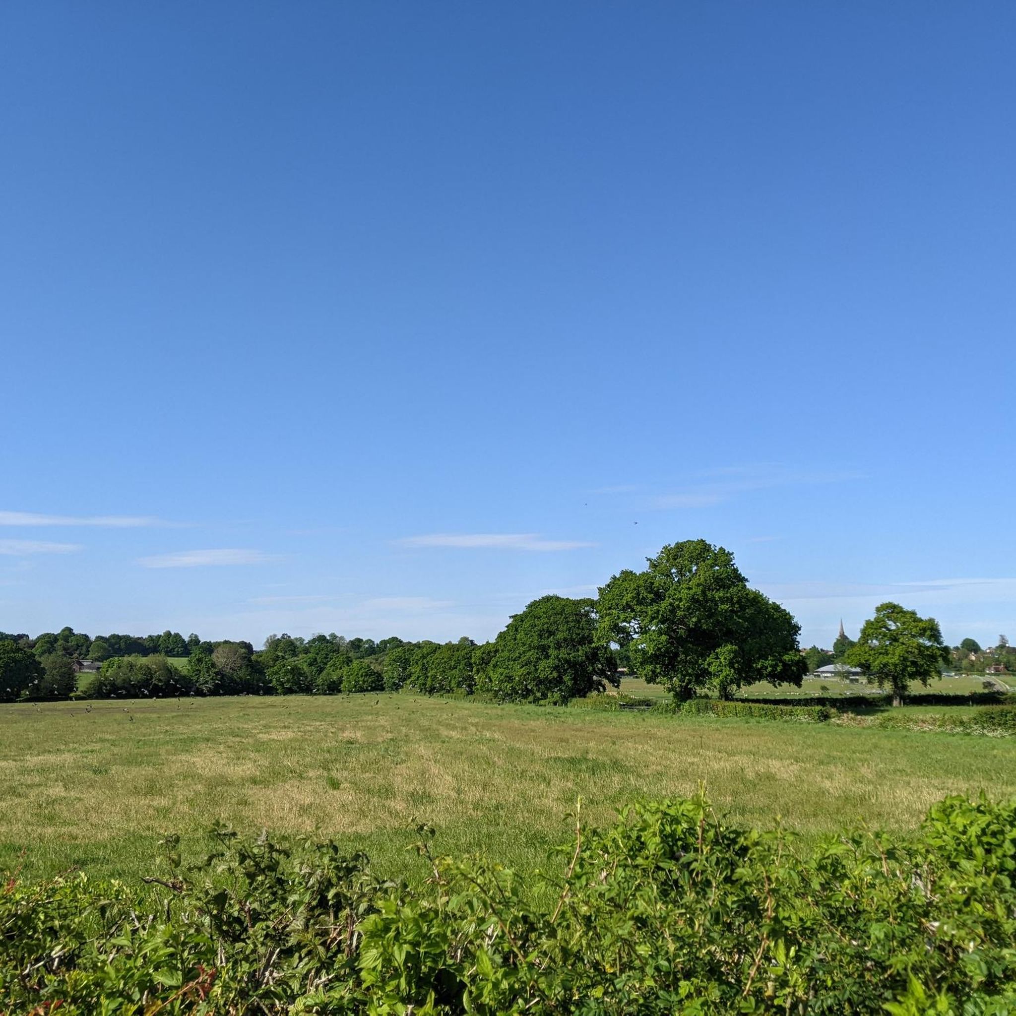
Once through here you are into a nice rural setting.
0
0


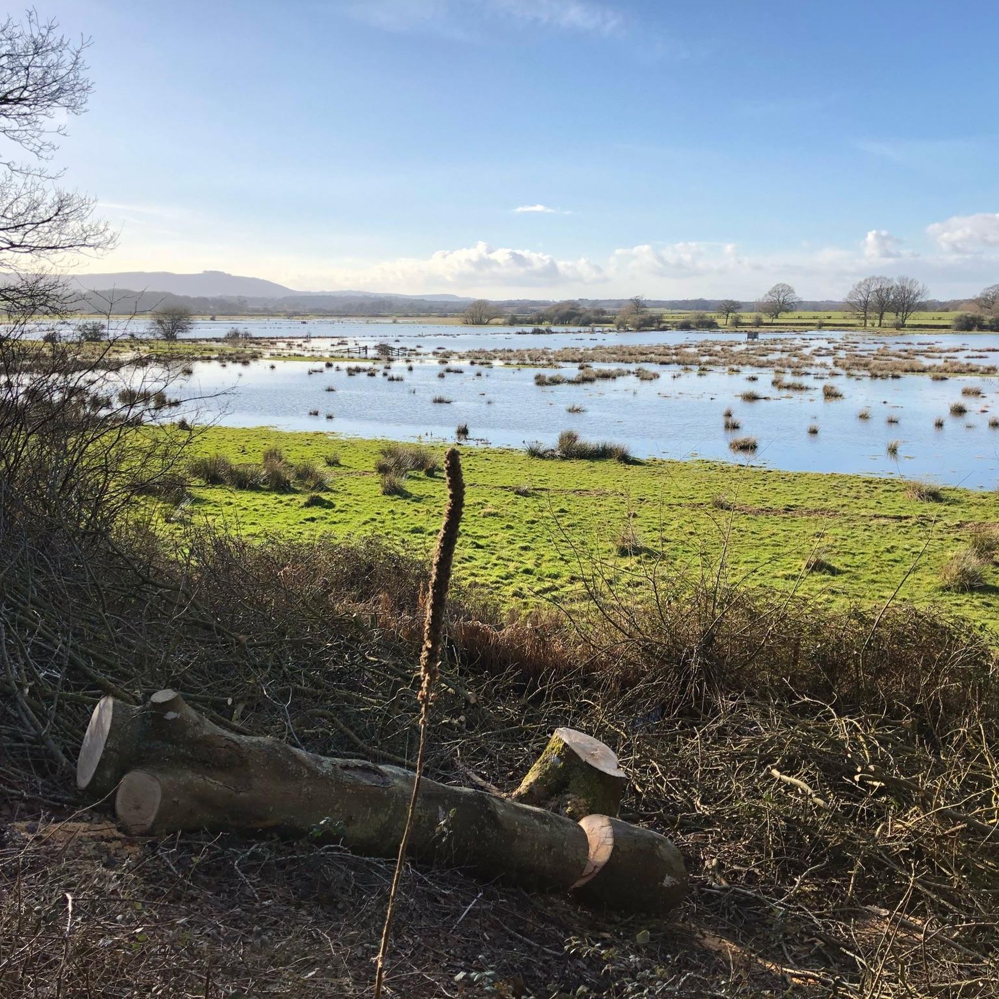
very muddy if there's been rain recently, had to keep pushing my bike as it got stuck
0
0

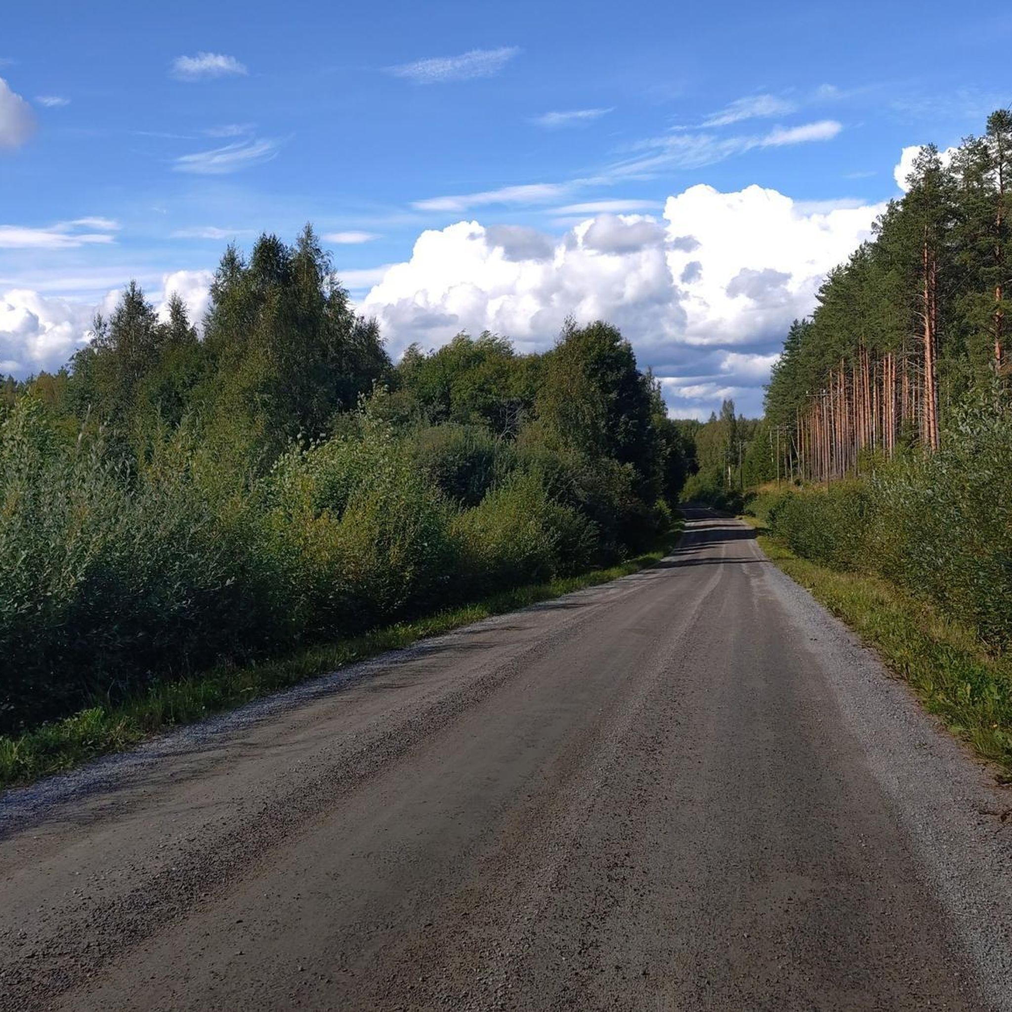
A lovely Sussex country lane linking the hamlets of Twineham and Wineham. It features a series of angular corners and passes by a number of country homes and farmhouses.
0
0
This historic town lies on the outskirts of the South Downs National Park. The High Street is narrow and can get quite busy with two-way cars so don’t expect to be able to whizz through. "Hurstpierpoint" is believed to have originated from the Old English words "hyrst" (meaning wooded hill) and "pyrige" (meaning point or ridge).
0
0
Frequently Asked Questions
What kind of terrain can I expect on road cycling routes around Twineham?
Road cycling routes around Twineham primarily traverse the gently undulating Low Weald countryside. You'll find open fields, lush streams, and a network of quiet rural lanes, offering a serene and visually appealing environment. While generally not mountainous, the proximity to the South Downs National Park means some routes might offer access to more challenging climbs and varied terrain.
How many road cycling routes are available in the Twineham area?
There are over 390 road cycling routes available around Twineham. This includes a wide range of options, with 124 easy routes, 238 moderate routes, and 28 more difficult challenges, ensuring there's something for every skill level.
Are there any easy road cycling routes suitable for beginners or a relaxed ride?
Yes, Twineham offers many easy road cycling routes. For example, the Blackstone Hamlet – Shaves Wood Lane loop from Bolney is an easy 24.5 km path that winds through tranquil rural settings. Another accessible option is the View of the River Adur – River Crossing loop from Hurstpierpoint and Sayers Common, a 20.5 km trail leading through the River Adur valley.
What are some of the natural features or viewpoints I can see while cycling near Twineham?
The area around Twineham offers several natural features and viewpoints. You can experience expansive views of the surrounding countryside, especially along routes near the River Adur. For more dramatic vistas, the nearby South Downs National Park provides access to iconic spots like Ditchling Beacon, offering panoramic views, and Devil's Dyke, known for its unique chalkland valley.
Are there any historical landmarks or interesting places to visit along the road cycling routes?
Yes, cyclists can incorporate historical landmarks into their rides. You might pass by the Grade I listed St Peter's Church in Twineham, an early Tudor building from 1516. Further afield, you can visit the historic Jack and Jill Windmills, or the poignant The Chattri Memorial, which offers a significant viewpoint.
What do other cyclists say about road cycling in Twineham?
The road cycling routes around Twineham are highly rated by the komoot community, with an average score of 4.6 stars from over 200 reviews. Cyclists often praise the quiet country lanes, the gently undulating Low Weald countryside, and the serene environment for rides.
Can I find circular road cycling routes around Twineham?
Yes, many of the road cycling routes around Twineham are designed as loops, allowing you to start and finish in the same location. An example is the moderate Furnace Pond – View of the River Adur loop from Sayers Common, a 47.9 km route offering expansive countryside views.
Are there options for longer or more challenging road cycling routes?
For those seeking longer or more challenging rides, Twineham's proximity to the South Downs National Park provides opportunities for more significant climbs and varied terrain. Within the immediate area, routes like the Furnace Pond – Ardingly Village loop from Bolney offer a moderate challenge over 34.7 km with notable elevation gains.
Where can I find parking for my bike when cycling in Twineham?
While specific dedicated cyclist parking facilities in Twineham village are not extensively detailed, the rural nature of the area often means roadside parking is available in villages or near trailheads. For routes starting from nearby towns like Bolney or Sayers Common, you may find more established parking options.
What is the best time of year for road cycling in Twineham?
The gently undulating terrain and quiet lanes of Twineham make it enjoyable for road cycling throughout much of the year. Spring and autumn offer pleasant temperatures and beautiful scenery with changing foliage. Summer provides longer daylight hours, while winter rides are possible, though conditions may be cooler and wetter.
Are there any routes that pass through Twineham village itself?
Many routes in the area will either pass through or close to Twineham village, allowing you to experience its charm. The Hurstpierpoint High Street – Twineham Country Roads loop from Bolney is an example of a route that specifically highlights the country roads around Twineham.
Can I access road cycling routes in Twineham using public transport?
Twineham is a rural village, and direct public transport links for cyclists might be limited. It's advisable to check local bus services for routes that allow bikes or consider starting your ride from a nearby town with better public transport connections, such as those with train stations, and cycling into the Twineham area.
Most popular attractions around Twineham

Get inspired with the komoot mobile app


Explore more
Browse the best Road cycling routes in other regions.
