The best mountain hikes in the T'aeback-Sanmaek
4.4
(142)
824
hikers
65
hikes
Mountaineering in the T'aebaek-Sanmaek offers diverse landscapes across the Korean Peninsula's principal mountain range. This region is characterized by prominent peaks, many exceeding 1,500 meters, and extensive forests. The range features an asymmetric topography with steep eastern slopes descending to the East Sea and more gentle western slopes forming river basins. It serves as a primary watershed, contributing to scenic river valleys and varied terrain for mountaineering.
Best mountaineering routes in the T'aebaek-Sanmaek
- The most popular mountaineering route is 검단산…
Last updated: June 27, 2026
3.9
(7)
45
hikers
7.90km
03:11
600m
600m
Moderate mountaineering route. Good fitness required. Easily-accessible paths. Suitable for all skill levels.
4.8
(6)
35
hikers
11.8km
03:37
370m
370m
Moderate mountaineering route. Good fitness required. Mostly accessible paths. Sure-footedness required.

Sign up for free
4.8
(8)
38
hikers
8.20km
03:45
660m
660m
Moderate mountaineering route. Good fitness required. Mostly accessible paths. Sure-footedness required.
4.1
(7)
30
hikers
7.40km
03:24
720m
720m
Moderate mountaineering route. Good fitness required. Mostly accessible paths. Sure-footedness required.
4.0
(3)
38
hikers
5.34km
02:23
500m
500m
Moderate mountaineering route. Good fitness required. Easily-accessible paths. Suitable for all skill levels.
5.0
(6)
24
hikers
7.98km
02:36
360m
360m
Moderate mountaineering route. Good fitness required. Easily-accessible paths. Suitable for all skill levels.
4.0
(3)
22
hikers
13.4km
04:36
660m
660m
Moderate mountaineering route. Good fitness required. Easily-accessible paths. Suitable for all skill levels.
4.6
(5)
19
hikers
10.6km
06:44
1,280m
1,280m
Hard mountaineering route. Very good fitness required. Mostly accessible paths. Sure-footedness required.
4.0
(4)
16
hikers
7.05km
02:40
480m
480m
Moderate mountaineering route. Good fitness required. Easily-accessible paths. Suitable for all skill levels.
3.0
(1)
19
hikers
Hard mountaineering route. Very good fitness required. Easily-accessible paths. Suitable for all skill levels.
Get access to more routes and recommendations from other explorers.
Sign up for free
Already have an account?
Our route recommendations are based on thousands of hikes, rides, and runs completed by other people on komoot.
Start today with a free account
Your next adventure awaits.
Login or Signup
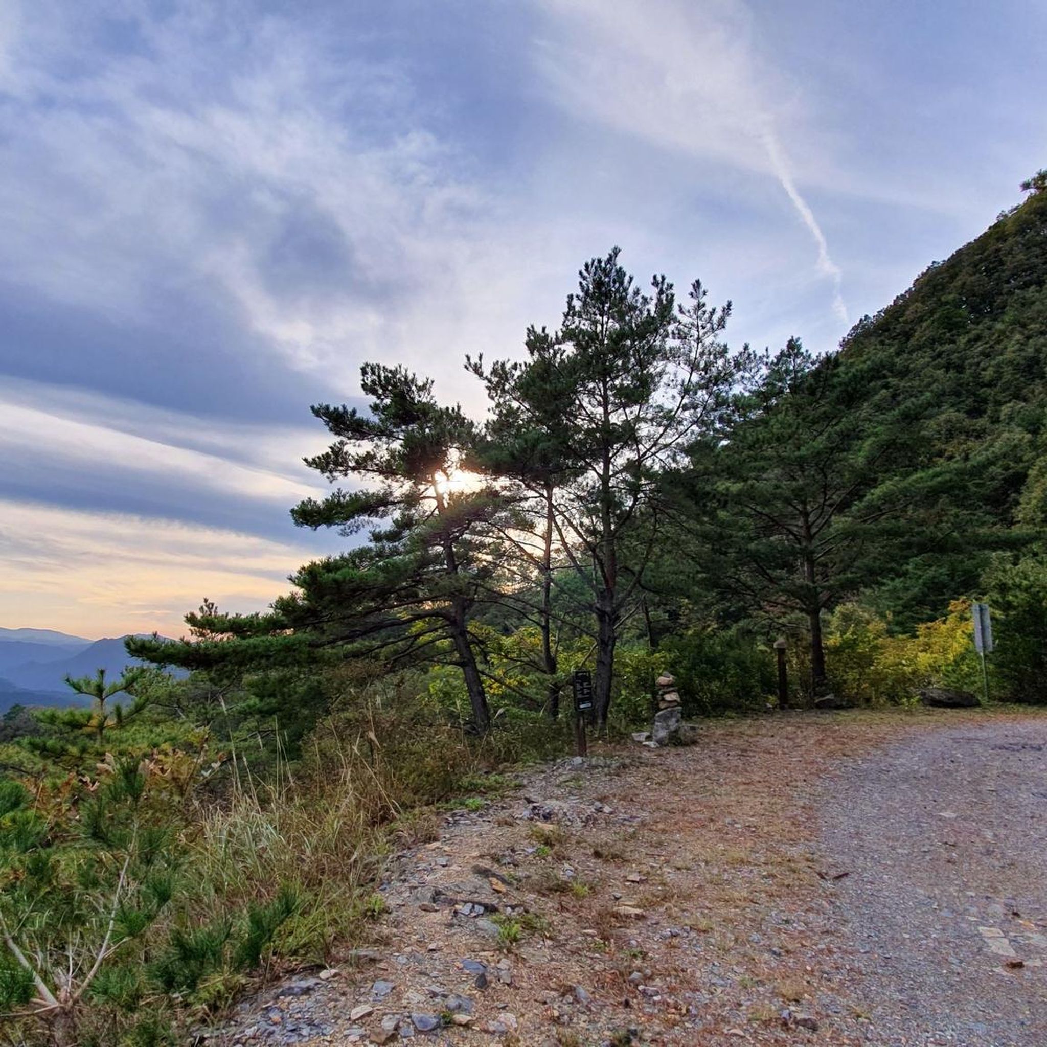
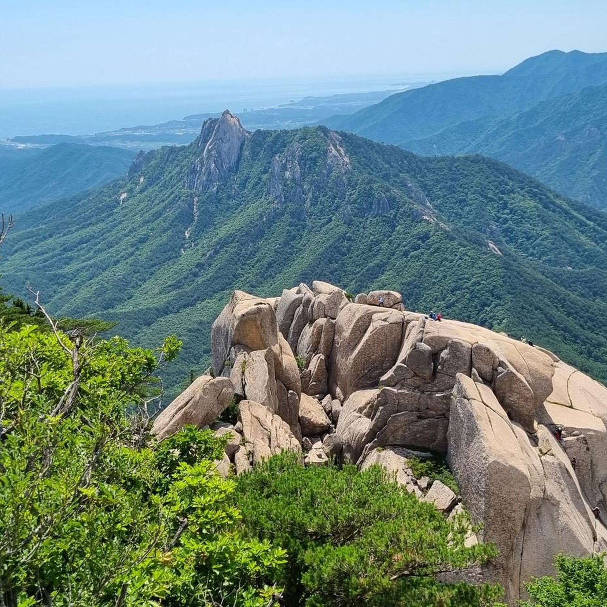
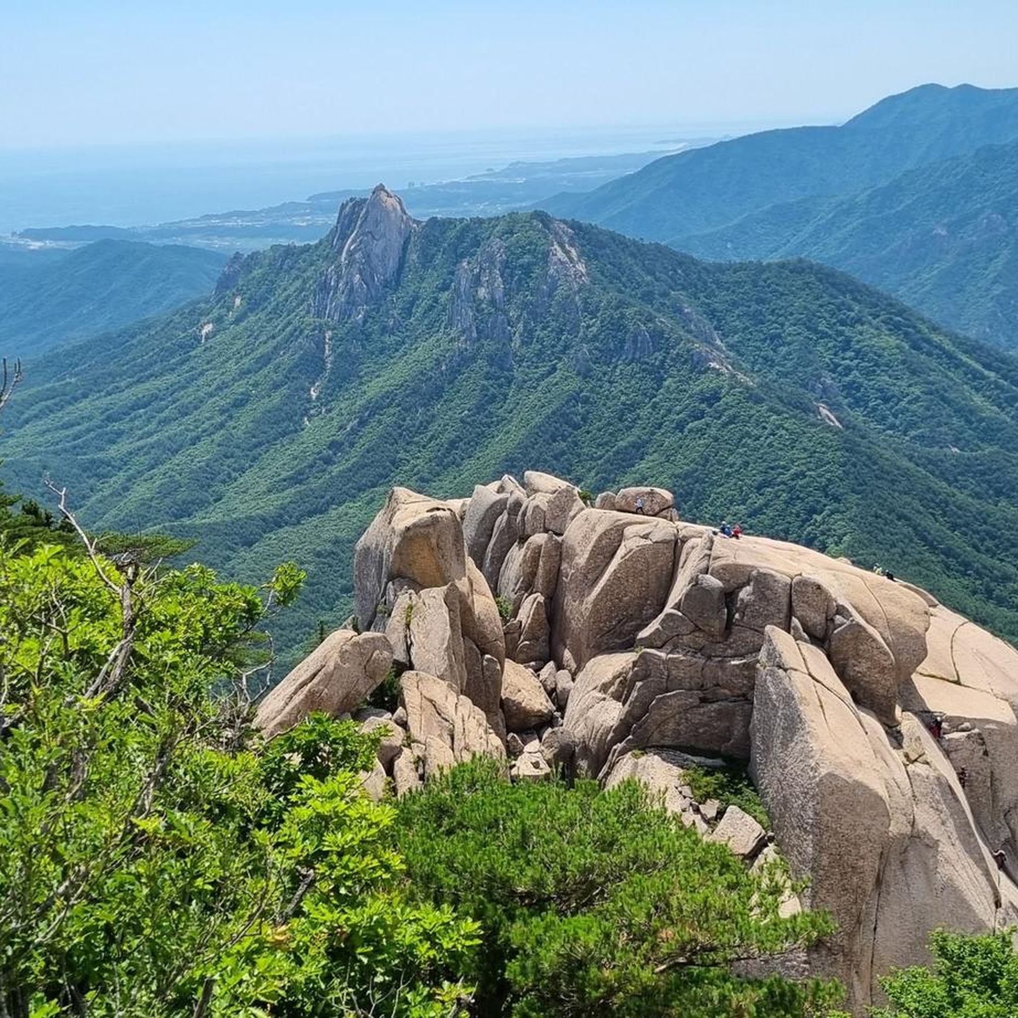
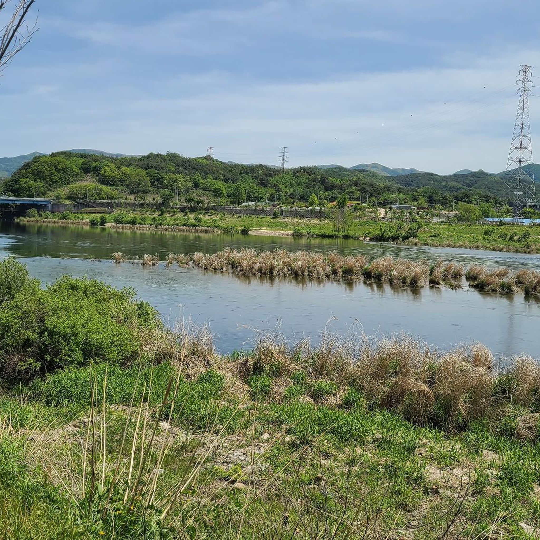
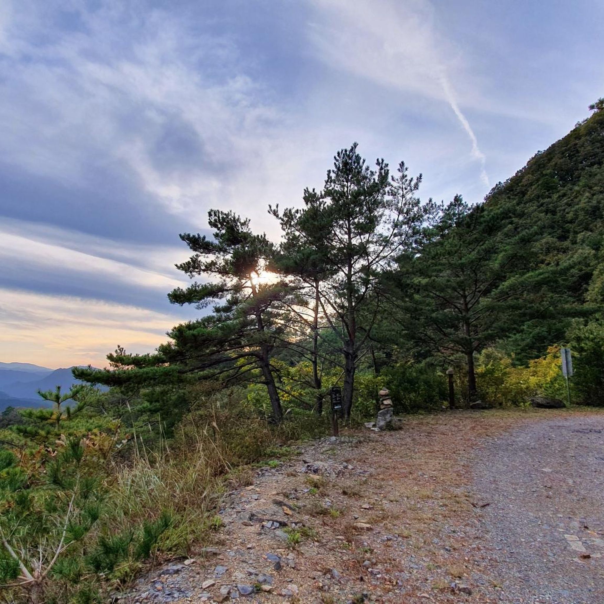
Tips from the Community

The North Gate of Geumjeongsanseong Fortress is located 1.6 km west of Beomeosa Temple, at the spot where the main ridge, descending southward from Godangbong Peak, rises again toward Wonhyobong Peak. The North Gate exhibits the crudest appearance of the four gates of Geumjeongsanseong Fortress, has no arch-shaped decoration and is smaller than the other gates. The upper part of the foundational facility, measuring one kan (a unit of measurement referring to the distance between two columns) at the front and one kan at the sides, is a one-story watch tower with a half-hipped roof with a double-wing bracketing system. The gate measures 2.5 meters at the front, and 3.5 meters at the sides. The area around Sesimjeong Pavilion, situated in front of the gate, used to be known as 'Hwaeombeol' because the venerable Korean Buddhist priest Wonhyo (617-686) preached the Hwaeomgyeong, or Avatamsaka Sutra, there. It was also a training camp for monk-soldiers, including Buddhist monks from Beomeosa Temple, Gukcheongsa Temple, and Haewolsa Temple. The North Gate is known to be the passageway used by independence activists when they carried the Korean Declaration of Independence and the documents related to the independence movement and the March 1st Movement in 1919 at Beomeosa Temple, got off at Mulgeum Station on the Gyeongbu Line, by crossing Godangbong Peak of Geumjeongsan Mountain, and went to the Cheongnyeonam Hermitage.
1
0

It is slightly above the actual location. -> Location has been modified.
0
0
The location was a bit wrong, so I requested a location correction.
0
0

You cannot go to Seobong, which has a 2-hour hiking time.
0
0
Frequently Asked Questions
How many mountaineering routes are available in the T'aebaek-Sanmaek region?
The T'aebaek-Sanmaek region offers a wide array of mountaineering experiences, with over 60 routes documented on komoot. These range from moderate climbs to more challenging ascents, catering to various skill levels.
What are some recommended routes for mountaineers looking for a moderate challenge?
For a moderate challenge, consider the 검단산 loop from Hanam, which is about 4.8 miles (7.8 km) and takes around 3 hours 9 minutes. Another popular moderate option is the 삼각점 – 새봉 loop from 대관령정상, a 7.4 miles (11.8 km) path exploring the scenic terrain around Daegwallyeong.
Are there any challenging routes for experienced mountaineers in the T'aebaek-Sanmaek?
Yes, experienced mountaineers can tackle more difficult routes such as the Daecheongbong Peak (1,703 m) – Daecheongbong Peak loop from 오색그린야드호텔. This route spans 10.57 km and involves significant elevation gain, typically taking over 6 hours to complete. Another challenging option is the Sinbulsan–Yeongchuksan Ridge – Sinbulsan Summit loop from Deungeogalpeuseu-ri, a 9.9 km route with considerable elevation.
What natural features and landmarks can I expect to see along the mountaineering routes?
The T'aebaek-Sanmaek is rich in natural beauty. You can explore areas like Seoraksan National Park, known for its breathtaking scenery and the remarkable granite formation of Ulsanbawi Peak. You might also encounter waterfalls like Biryong Falls and various other natural monuments and summits throughout the range.
Are there any circular mountaineering routes available?
Many routes in the T'aebaek-Sanmaek are designed as loops, offering a varied experience without retracing your steps. Examples include the 태백산 천제단 loop from 태백산국립공원유일사탐방지원센터 in Taebaeksan National Park, the 토봉 – 만경대 loop from 7-Eleven, and the Gohyeonsan Summit Stone loop from 옥천당.
What is the best time of year to go mountaineering in the T'aebaek-Sanmaek?
The T'aebaek-Sanmaek offers stunning beauty year-round. Spring brings vibrant rhododendron and azalea blooms, summer provides lush green forests, autumn showcases spectacular colorful foliage, and winter transforms the landscape into a snow-covered wonderland. Each season offers a unique experience, so the 'best' time depends on your preferred scenery and conditions.
What do other mountaineers enjoy most about the T'aebaek-Sanmaek?
The T'aebaek-Sanmaek is highly rated by the komoot community, with an average score of 4.5 stars from over 120 reviews. Mountaineers often praise the diverse topography, from steep coastal slopes to gentle western inclines, and the extensive forests that provide a rich ecosystem and scenic beauty.
Are there any cultural or historical sites to visit in the T'aebaek-Sanmaek region?
Yes, the mountains are home to significant cultural sites. On Mount Taebaeksan, you can find Manggyeongsa Temple, built at 1,460 meters, and the Cheonjedan Altar, where ancient rites were held. Other notable sites include Geumjeongsanseong North Gate, Namhansanseong Palace, and Beomeosa Temple.
Can I find routes that are suitable for families with children?
While specific family-friendly routes are not detailed in the guide, the T'aebaek-Sanmaek offers a range of difficulties. Look for routes described as 'moderate' or those with shorter distances and less elevation gain, such as the 천황산 – 재약산 loop from 얼음골케이블카, which is 7.9 km with moderate elevation, as a starting point for family outings.
What are the options for public transport and parking near the trailheads?
The region is generally well-equipped for visitors. Many national parks, such as Seoraksan and Taebaeksan, have designated parking areas. Public transport options, including buses, often serve the main access points and towns surrounding the mountain ranges. It's advisable to check local transport schedules for specific trailheads.
Are there any routes that feature significant water resources or river valleys?
The Taebaek Mountains serve as the primary watershed for the Korean Peninsula, being the source of major rivers like the Han and Nakdong. This means many routes will feature scenic river valleys and water features. For example, the Baekcheon Valley in Taebaeksan National Park is known for its unique ecosystem.
What kind of wildlife can I expect to see in the T'aebaek-Sanmaek?
The extensive forests of the T'aebaek-Sanmaek provide a habitat for diverse wild animals and plants, including some endangered species. The higher plains are home to alpine vegetation, and areas like Taebaeksan National Park are known for yew habitats and the world's southernmost lenok habitat in Baekcheon Valley.
Most popular routes in the T'aeback-Sanmaek
Most popular attractions in the T'aeback-Sanmaek

Get inspired with the komoot mobile app


Explore more
Browse the best Mountain Hikes & Routes in other regions.
