The best cycling routes around Water Orton
4.5
(316)
1,704
riders
176
rides
Touring cycling routes around Water Orton traverse a landscape characterized by canal networks, open countryside, and suburban green spaces. The area features a mix of flat canal towpaths and gentle rolling terrain, suitable for various cycling abilities. Routes often follow waterways like the Birmingham Canal Navigations and pass by local lakes and viewpoints. The region provides accessible cycling opportunities connecting villages and urban fringes.
Best touring cycling routes around Water Orton
- The most popular touring cycling route is Birmingham Airport…
Last updated: September 27, 2026
4.8
(15)
34
riders
Moderate bike ride. Good fitness required. Mostly paved surfaces. Suitable for all skill levels.
10
riders
Easy bike ride. Great for any fitness level. Mostly paved surfaces. Suitable for all skill levels.

4.2
(5)
11
riders
32.4km
01:58
170m
170m
Moderate bike ride. Good fitness required. Mostly paved surfaces. Suitable for all skill levels.
5.0
(1)
6
riders
49.3km
03:02
390m
390m
Moderate bike ride. Good fitness required. Mostly paved surfaces. Suitable for all skill levels.
6
riders
16.6km
00:58
60m
60m
Easy bike ride. Great for any fitness level. Mostly paved surfaces. Suitable for all skill levels.
Get access to more routes and recommendations from other explorers.
Already have an account?
Our route recommendations are based on thousands of hikes, rides, and runs completed by other people on komoot.
Start today with a free account
Your next adventure awaits.
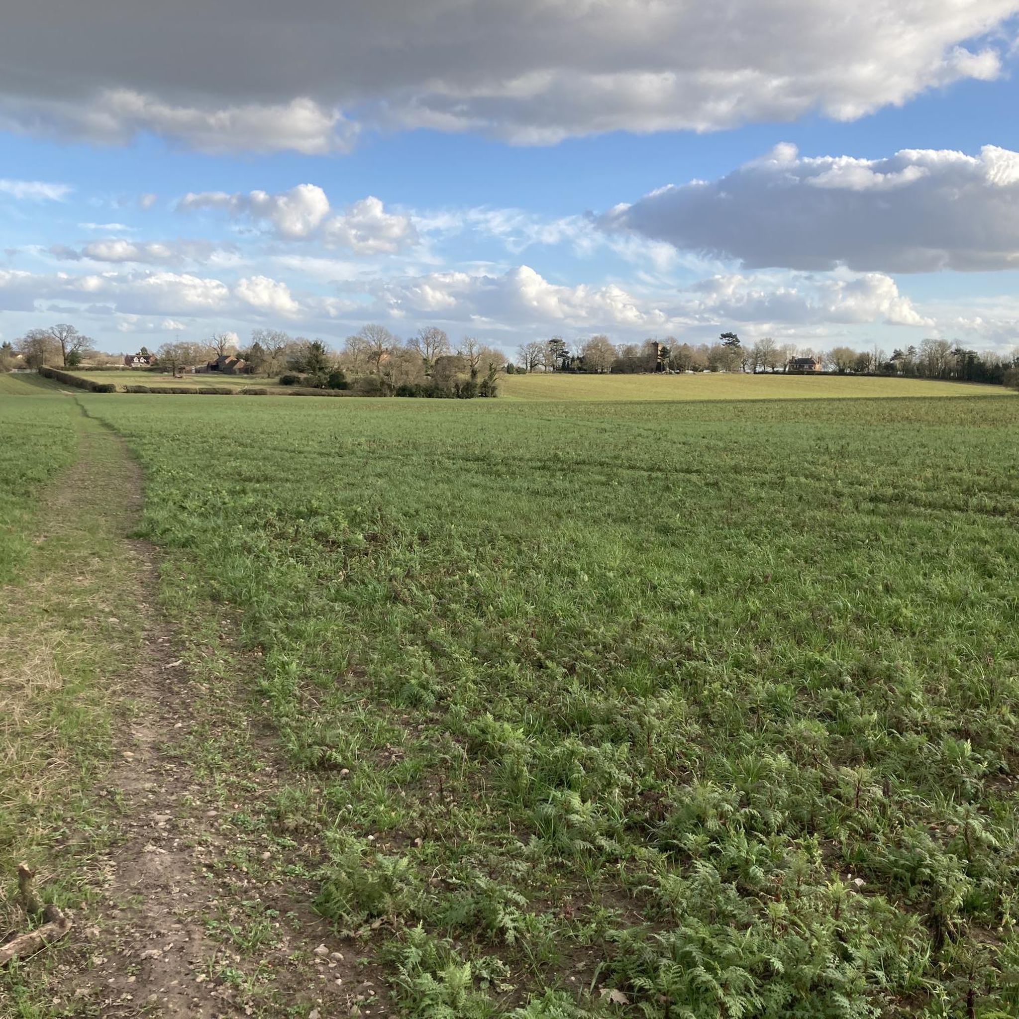
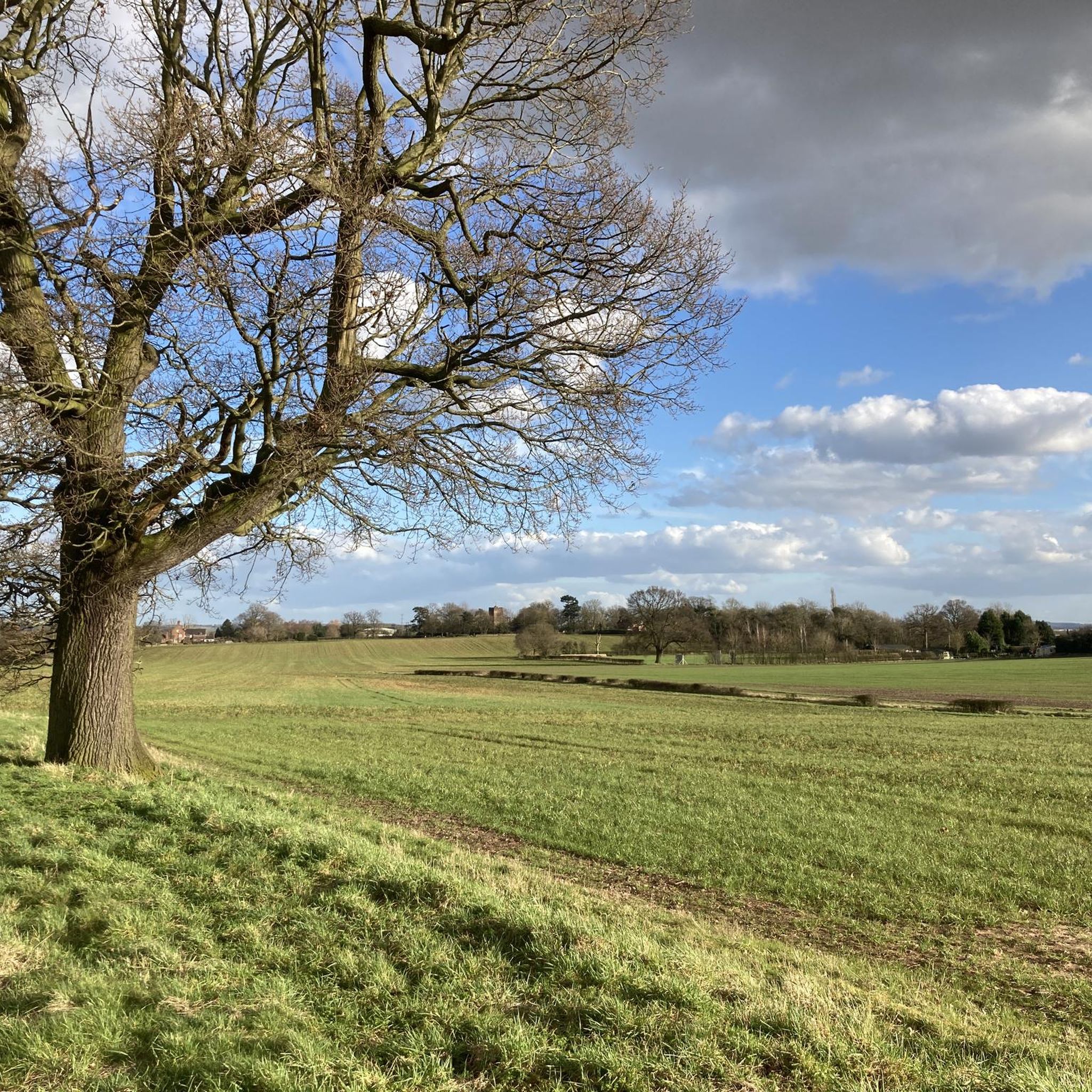

Tips from the Community

lovely farm and ok park ,nice to take the kids.
0
0

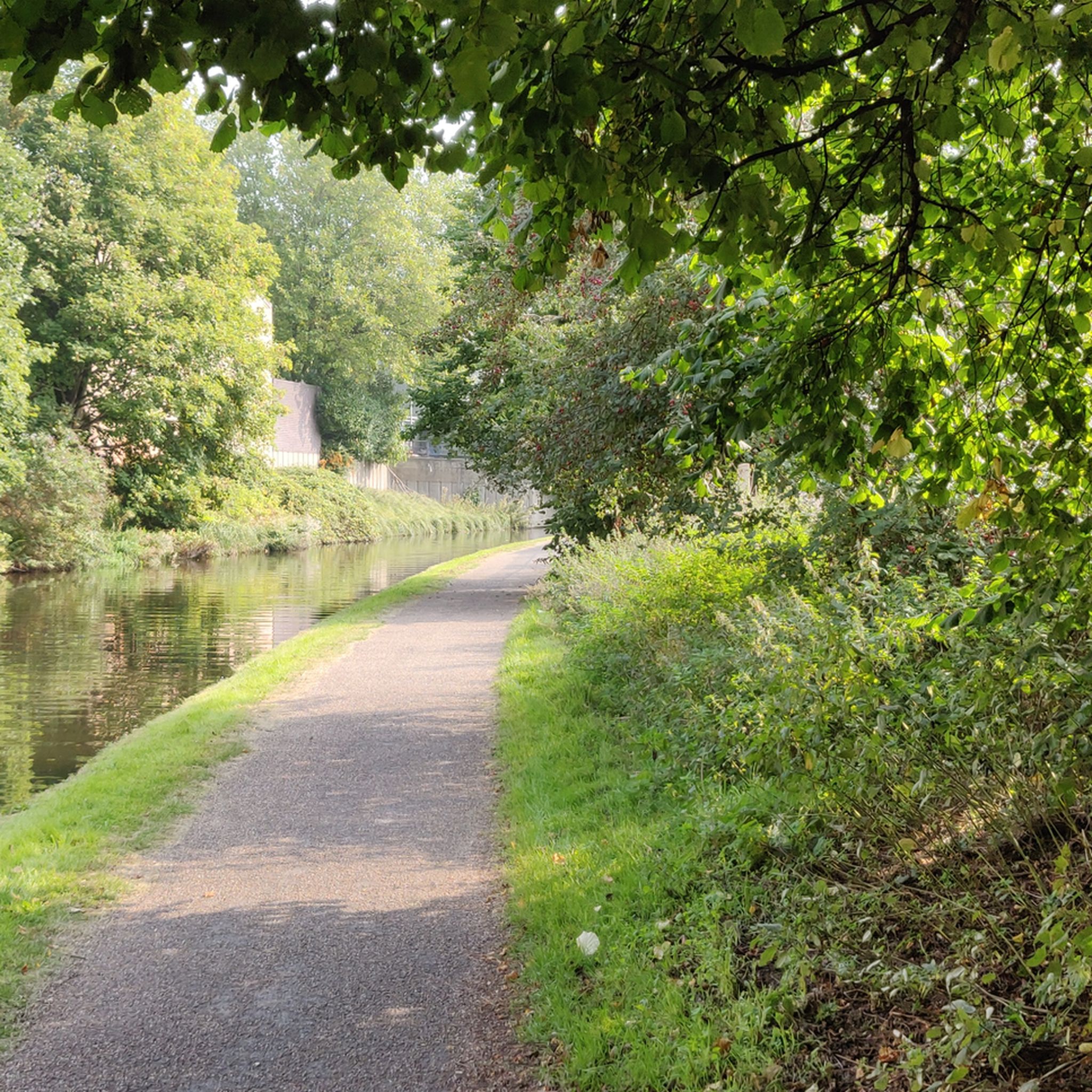
Pleasant off road (but tarmaced) cut through from Streetly to Sutton Coldfield..
0
0

This was the Ford/Watersplash used on the RAC rally back in the days when Sundays were spectator stages
0
0

The 17th-century Old Rectory Farm at Sheldon Country Park is a former dairy farm within the park, has been superbly restored and now functions as a demonstration farm.
0
0

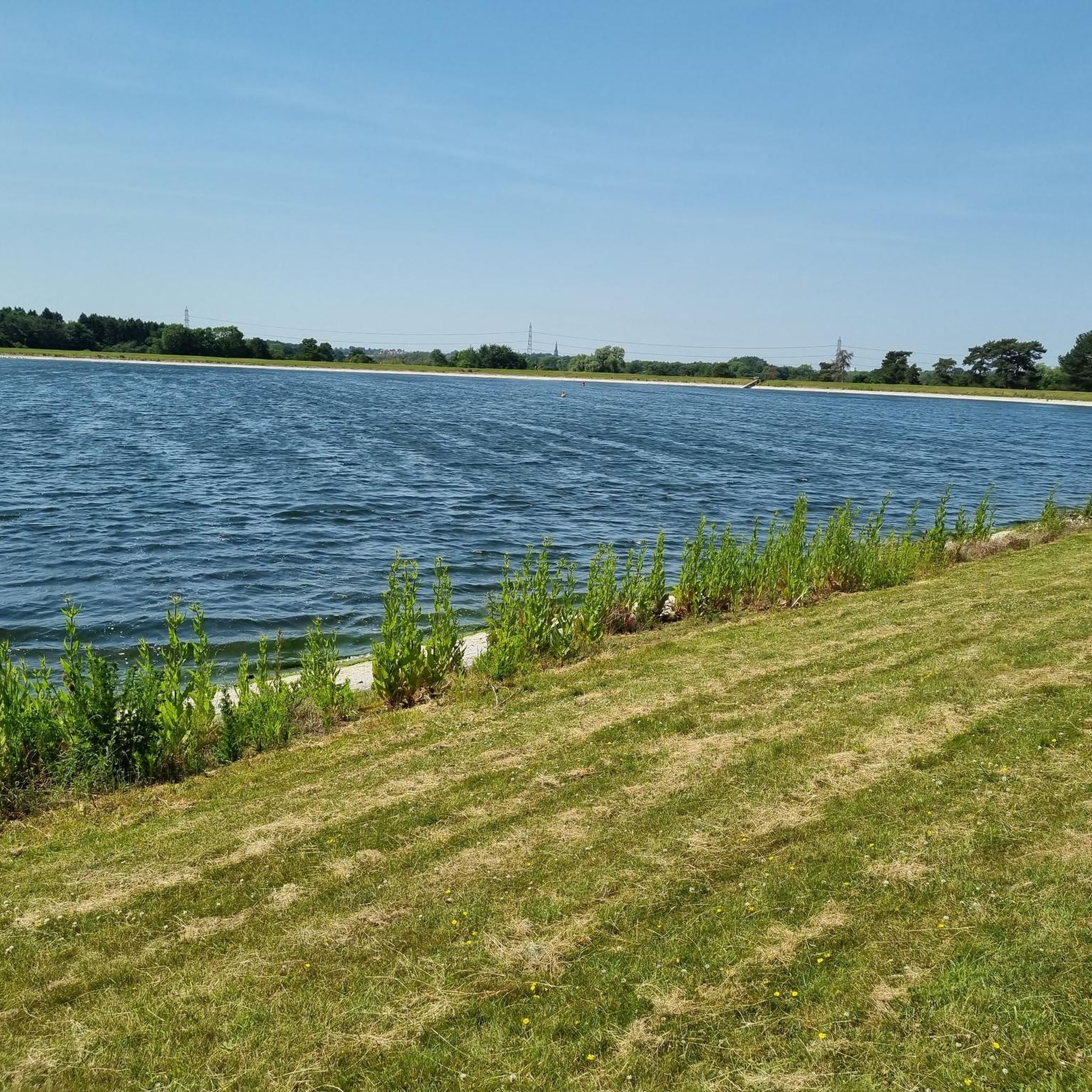
Babbs Mill Lake sits in the Babbs Mill Local Nature Reserve and has a designated cycle path running right the way through. There are benches dotted around and ample open space for a sit-down and picnic. Make sure to say hi to the local wildlife who you'll spot milling around the lake.
1
0
Its been painted over now but you can still see where these were.
0
0
Careful as i have had many cars not stop here and i use it daily. A Much needed crossing on what can be a busy road.
0
0
Frequently Asked Questions
How many touring cycling routes are available around Water Orton?
There are nearly 200 touring cycling routes around Water Orton, offering a wide variety of options for different skill levels and preferences. Approximately half of these are rated as easy, making the area very accessible for casual rides.
Are there any easy touring cycling routes suitable for beginners or families?
Yes, Water Orton offers many easy routes. For a gentle ride, consider the Birmingham Airport Viewpoint – Path to Marston Green Station loop from Castle Bromwich, which is an easy 16.0 miles (25.7 km) path providing airport views and connecting to Marston Green Station.
What kind of terrain can I expect on touring cycling routes in Water Orton?
The terrain around Water Orton is characterized by a mix of flat canal towpaths, gentle rolling countryside, and suburban green spaces. Routes often follow waterways like the Birmingham Canal Navigations and pass by local lakes, providing a varied and generally accessible cycling experience.
Are there any circular touring cycling routes in the area?
Many routes around Water Orton are circular. An excellent option is the Holly Hurst Shared Path – View of Sutton Park loop from Water Orton, a moderate 32.4 km (20.1 miles) route that offers views towards Sutton Park.
What interesting places or landmarks can I see along the touring cycling routes?
The routes often pass by various points of interest. You might encounter historical sites like Maxstoke Priory Ruins, natural areas such as the Tame Valley Wetlands Community Wetland, or scenic lakes like Shustoke Reservoir. Many routes also offer viewpoints, including those towards Birmingham Airport.
Are there any routes that follow canals?
Yes, the canal networks are a defining feature of touring cycling in Water Orton. The Birmingham Canal Navigations – Gas Street Basin loop from Coleshill Parkway is a popular 45.5 km (28.2 miles) route that takes you along canal towpaths and through urban waterways.
What do other touring cyclists say about the routes in Water Orton?
The touring cycling routes in Water Orton are highly regarded by the komoot community, holding an average rating of 4.5 stars from nearly 300 reviews. Cyclists often praise the accessibility of the canal paths and the variety of scenery, from open countryside to local lakes.
Are there any longer touring cycling routes for more experienced riders?
For a longer excursion, consider the Meriden Pond – Coventry Canal Basin loop from Coleshill Parkway. This moderate route spans 49.2 km (30.6 miles) and offers a more extensive ride through the region.
Can I combine cycling with visiting natural attractions like lakes?
Absolutely. Many routes incorporate local lakes and natural areas. For example, the Birmingham Airport Viewpoint – Babbs Mill Lake loop from Coleshill Parkway is a moderate 37.4 km (23.3 miles) trail that passes by Babbs Mill Lake, offering scenic waterside cycling.
What is the best time of year for touring cycling in Water Orton?
While specific seasonal data isn't provided, the gentle terrain and canal paths suggest that touring cycling around Water Orton is enjoyable for much of the year. Spring and autumn typically offer pleasant temperatures and vibrant scenery, while summer provides longer daylight hours. Winter rides are also possible, especially on well-maintained towpaths.
Are there routes that connect to public transport options?
Yes, some routes are designed with public transport connections in mind. The Birmingham Airport Viewpoint – Path to Marston Green Station loop from Castle Bromwich, for instance, connects to Marston Green Station, making it convenient for those arriving by train.
Most popular attractions around Water Orton

Get inspired with the komoot mobile app


Explore more
Browse the best Cycling routes in other regions.
