The best gravel rides around Water Orton
3.7
(6)
25
riders
4
rides
Gravel biking around Water Orton features routes primarily along canal towpaths and riverside trails. The terrain is characterized by relatively flat sections with gentle undulations, encompassing a network of canals, aqueducts, and locks. The area offers a mix of natural and historical features, including varied path types in nearby Sutton Park and historical sites like Maxstoke Priory Ruins. Elevation gains on these routes are generally moderate, making them accessible for various skill levels.
Best gravel bike trails around Water Orton
…Last updated: October 5, 2026
3.0
(1)
5
riders
54.0km
03:47
280m
280m
Moderate gravel ride. Good fitness required. Mostly paved surfaces. Suitable for all skill levels.
4.7
(3)
7
riders
76.3km
04:06
290m
290m
Moderate gravel ride. Good fitness required. Mostly paved surfaces. Suitable for all skill levels.

4.0
(1)
7
riders
Moderate gravel ride. Good fitness required. Mostly paved surfaces. Suitable for all skill levels.
3.0
(1)
5
riders
45.2km
03:00
310m
310m
Moderate gravel ride. Good fitness required. Mostly paved surfaces. Suitable for all skill levels.
1
riders
67.2km
04:07
460m
460m
Hard gravel ride. Very good fitness required. Mostly paved surfaces. Suitable for all skill levels.
Our route recommendations are based on thousands of hikes, rides, and runs completed by other people on komoot.
Start today with a free account
Your next adventure awaits.
Tips from the Community

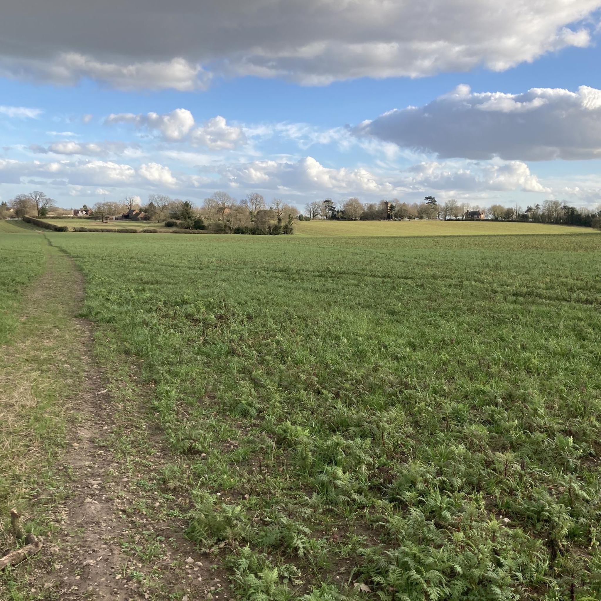
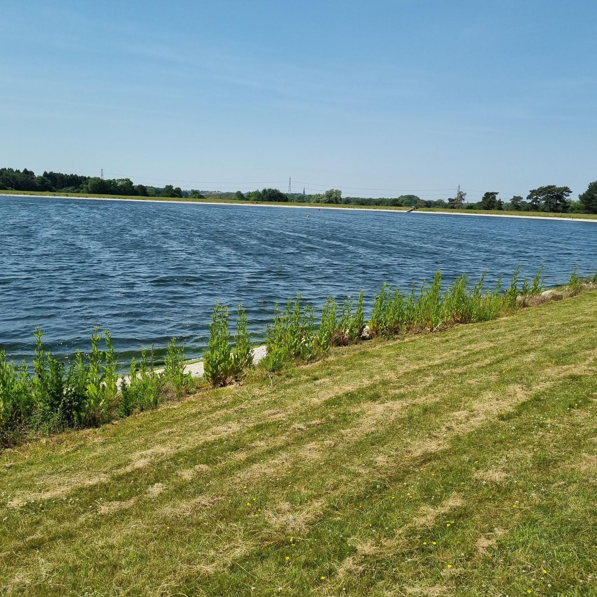
Popular junction of the Coventry canal which passes over the river Tame just past the junction.. Travel towards Birmingham and you will pass the famous white swing bridge near Drayton Bassett and Drayton Manor. Walk along the canal to Middleton lakes RSPB site, Middleton Hall and Kingsbury water park.
0
0

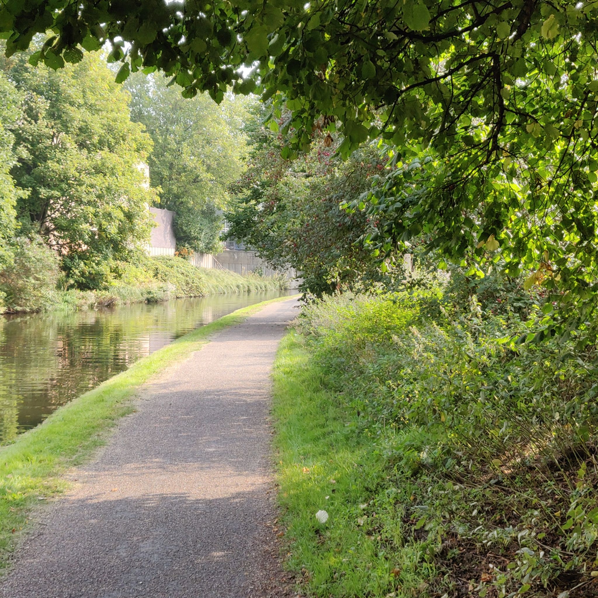
Such a towpath (known in German as a towpath or Leinpfad), which runs alongside the river or canal, was an essential part of the transport infrastructure in earlier times. Before ships could move by motor power, horses walked along the bank, pulling the boat against the current. This activity was called "treideln" in German, and thus the "treidelpfad" got its name. Where these paths – running directly along the bank – have survived to this day, they no longer serve their original purpose, but are still popular: namely, with hikers and cyclists.
0
0
Such a towpath (known in German as a towpath or Leinpfad), which runs alongside the river or canal, was an essential part of the transport infrastructure in earlier times. Before ships could move by motor power, horses walked along the bank, pulling the boat against the current. This activity was called "treideln" in German, and thus the "treidelpfad" got its name. Where these paths – running directly along the bank – have survived to this day, they no longer serve their original purpose, but are still popular: namely, with hikers and cyclists.
0
0
Rivers and canals crisscross the country, as they were a crucial part of the transport infrastructure – especially in the early days of industrialization. Factories needed the delivery of raw materials in previously unknown quantities, and finished goods also had to find their way to traders. Many of the canals originated in this era. Later, rail and, even later, trucks took over the task of transporting goods. When building the artificial waterways, however, it was important to consider that differences in elevation always had to be overcome, and so locks are often located along the canals – at varying intervals, depending on the local situation. Only with their help was shipping possible.
0
0


This is a pretty stone bridge over the Birmingham and Fazeley Canal with a walkway beneath. Following on from the bridge is Minworth Locks, which allows canal boats to pass.
1
0
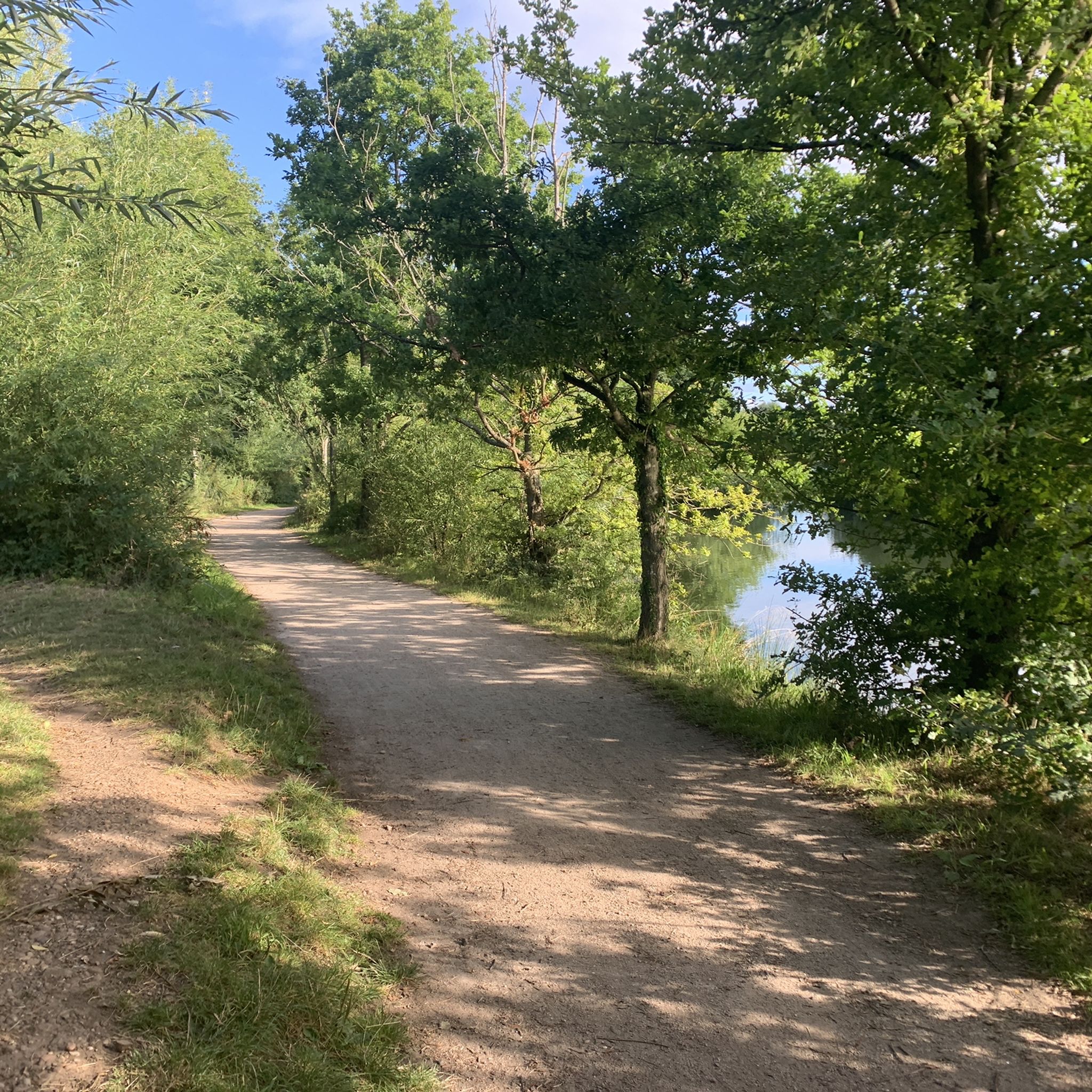
An ancient area of woodland with a mixture of native tree species and a wide range of animals, insects and birds. The area is owned by Tarmac and the Ministry of Defence, some areas are occasionally closed for military exercises so always follow signs.
1
0

Nicknamed the Curly Wyrley, the Wyrley & Essington Canal meanders peacefully through the English Midlands. It has few boats, but it is popular with recreational walkers, runners and cyclists.
0
0
Frequently Asked Questions
How many gravel bike trails are available around Water Orton?
There are 7 gravel bike trails around Water Orton, offering a variety of experiences. Most of these routes are considered moderate, with a couple of more challenging options for experienced riders.
Are there any easy or beginner-friendly gravel bike routes in Water Orton?
While most routes are rated moderate, the terrain around Water Orton, characterized by canal towpaths and riverside trails, is generally flat with gentle undulations. This makes many sections accessible for beginners. For a good introduction, consider routes that stick closely to the canal paths, which typically offer smoother surfaces and minimal elevation changes.
What is the typical length and duration of gravel bike routes in Water Orton?
Gravel bike routes in Water Orton vary in length, with many falling into the moderate to longer distance category. For example, the Drayton Gothic Footbridge – Curdworth Locks loop from Chester Road is about 28.3 miles (45.5 km) and takes around 3 hours 27 minutes. Longer routes, like the Hatton Locks – Hatton Locks loop from Olton, can be up to 33.1 miles (53.2 km) and take over 4 hours.
Are there any challenging gravel bike trails for experienced riders?
Yes, for those seeking a more challenging ride, there are a couple of routes rated as difficult. The Engine Arm Aqueduct – Galton Tunnel loop from Erdington is a substantial 47.4 miles (76.2 km) route with notable elevation changes, providing a good test for experienced gravel bikers.
What kind of scenery can I expect on the gravel bike trails around Water Orton?
The gravel bike trails around Water Orton offer a blend of natural and historical scenery. You'll primarily ride along picturesque canal towpaths, passing aqueducts and locks. The routes also feature riverside trails and open sections, providing views of the surrounding countryside. You might also spot points of interest like Shustoke Reservoir or the Tame Valley Wetlands Community Wetland.
Are there any circular gravel bike routes in Water Orton?
Yes, many of the gravel bike routes around Water Orton are designed as loops, allowing you to start and finish at the same point. Examples include the popular Perry Barr Locks – Canal Path Near Birmingham loop from Chester Road and the Birmingham Airport Viewpoint – Knowle Locks loop from Water Orton.
What do other gravel bikers enjoy most about gravel biking in Water Orton?
The area is highly rated by the komoot community, with an average score of 4.0 stars from over 9 reviews. Reviewers often praise the unique experience of riding along the canal towpaths, the blend of natural and historical features, and the accessibility of the terrain for various skill levels.
Are there any family-friendly gravel cycling options in Water Orton?
The relatively flat and well-maintained canal towpaths make many sections of the Water Orton gravel routes suitable for families. While some routes are longer, you can often choose shorter segments or out-and-back rides along the canals for a more relaxed family outing. Consider routes that pass through areas with amenities or parks for breaks.
What is the best season for gravel biking around Water Orton?
Gravel biking around Water Orton is enjoyable throughout much of the year. Spring and autumn offer pleasant temperatures and beautiful scenery. Summer is also great, though some paths might be busier. In winter, the canal towpaths can still be ridden, but be prepared for potentially muddy sections and cooler, shorter days. Always check local conditions before heading out.
Are there places to eat or drink along the gravel bike routes?
While specific cafes or pubs directly on every route segment aren't guaranteed, the routes often pass through or near villages and towns where you can find amenities. Water Orton itself has options, and larger towns like Birmingham, which some routes approach, offer numerous choices. Planning your route with potential stops in mind is recommended.
Where can I find parking for the Water Orton gravel bike trails?
Parking availability varies depending on your chosen starting point. Many routes begin from areas with public parking, such as near Chester Road or in Water Orton village itself. For routes that venture further, look for parking in nearby towns or designated car parks near canal access points. Always check local signage for parking restrictions and fees.
Most popular attractions around Water Orton

Get inspired with the komoot mobile app


Explore more
Browse the best Gravel rides in other regions.
