The best road cycling routes around East Huntspill
4.4
(95)
3,714
riders
40
rides
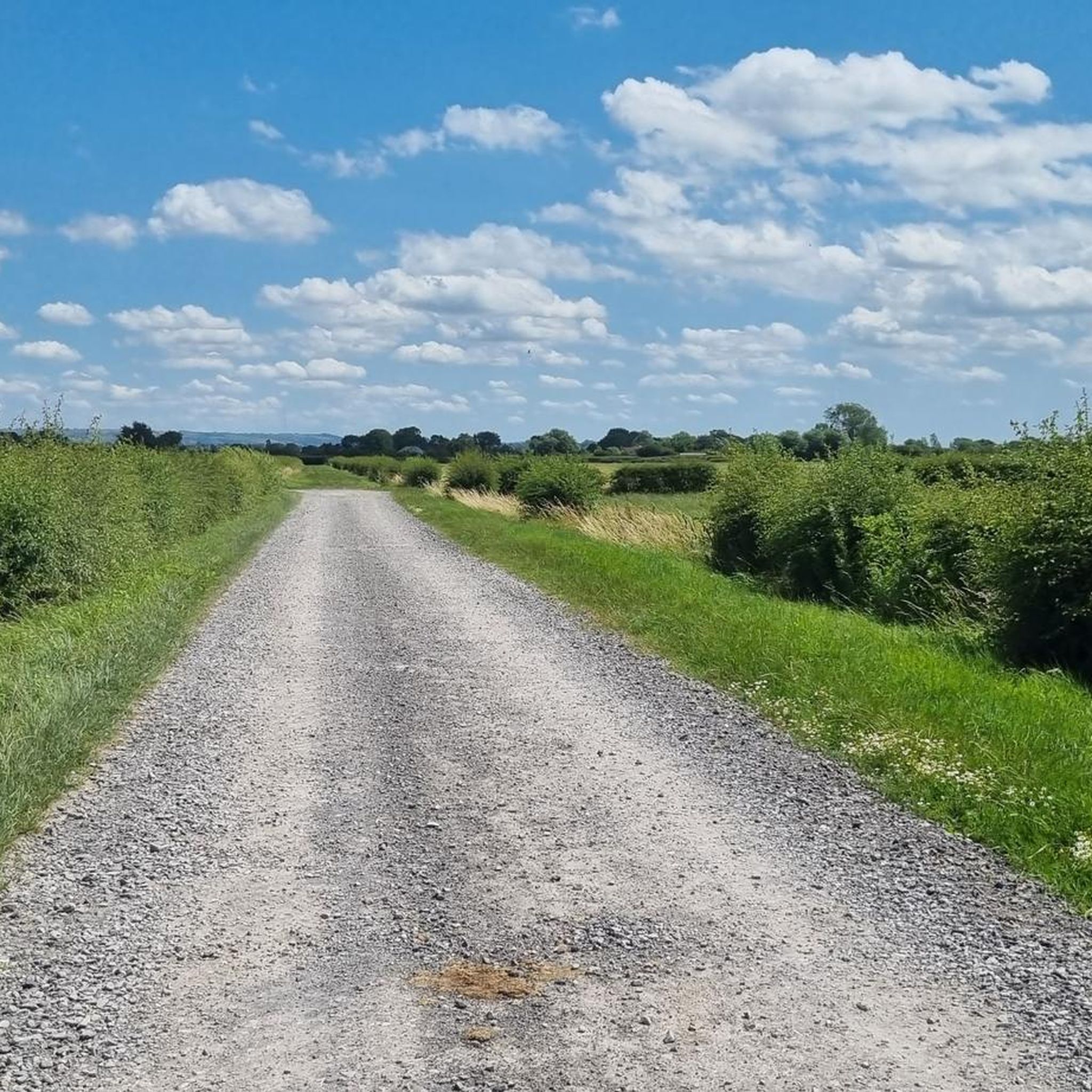
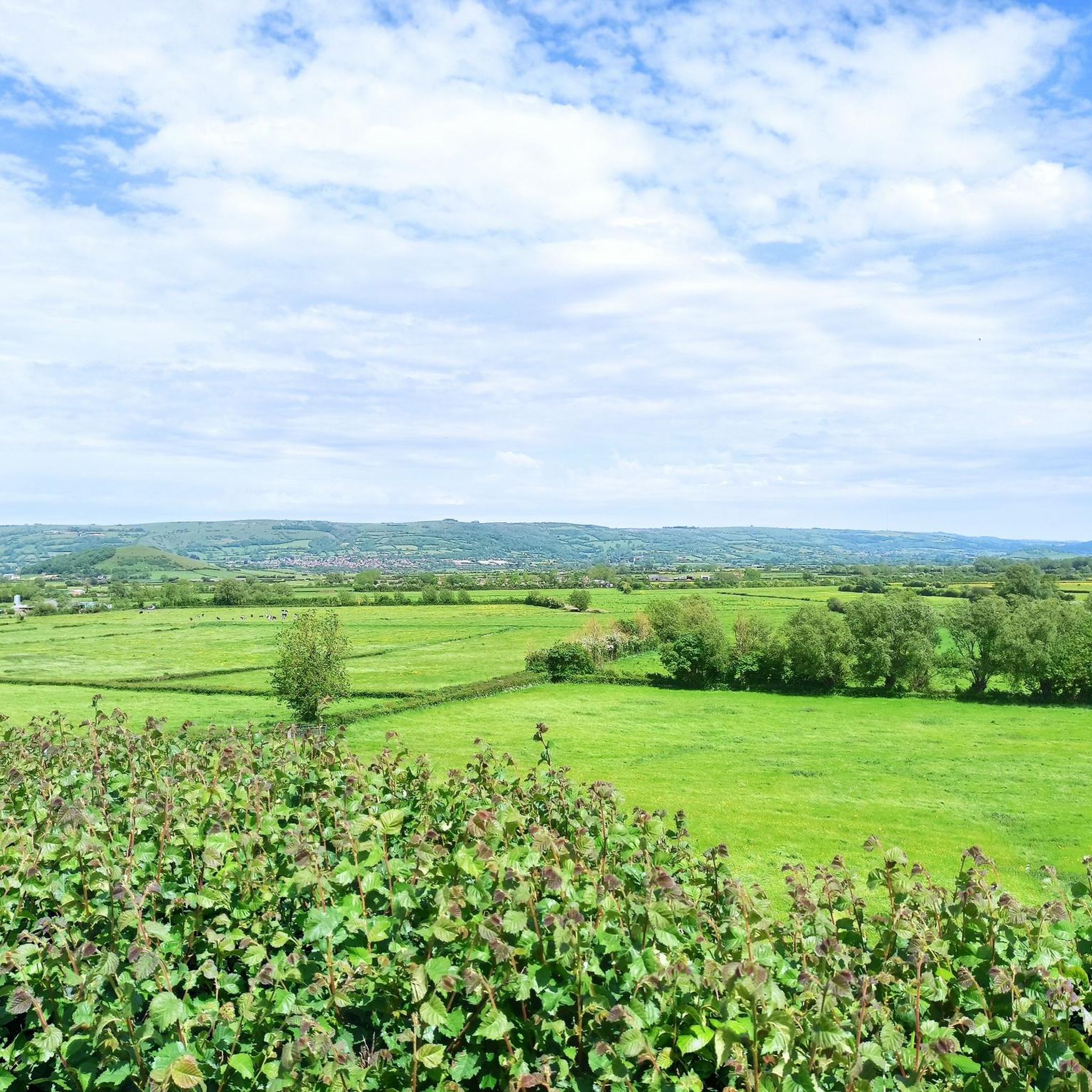
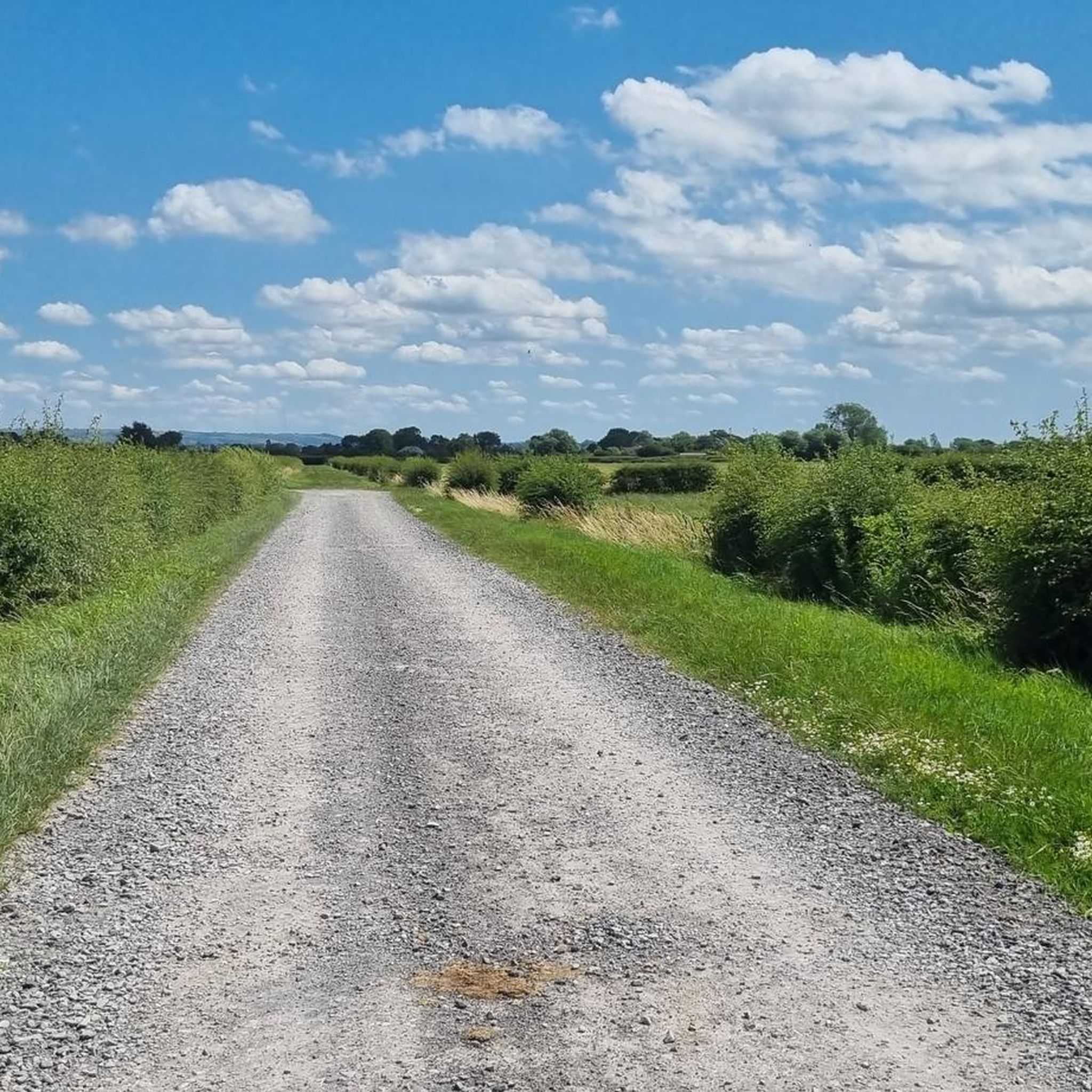
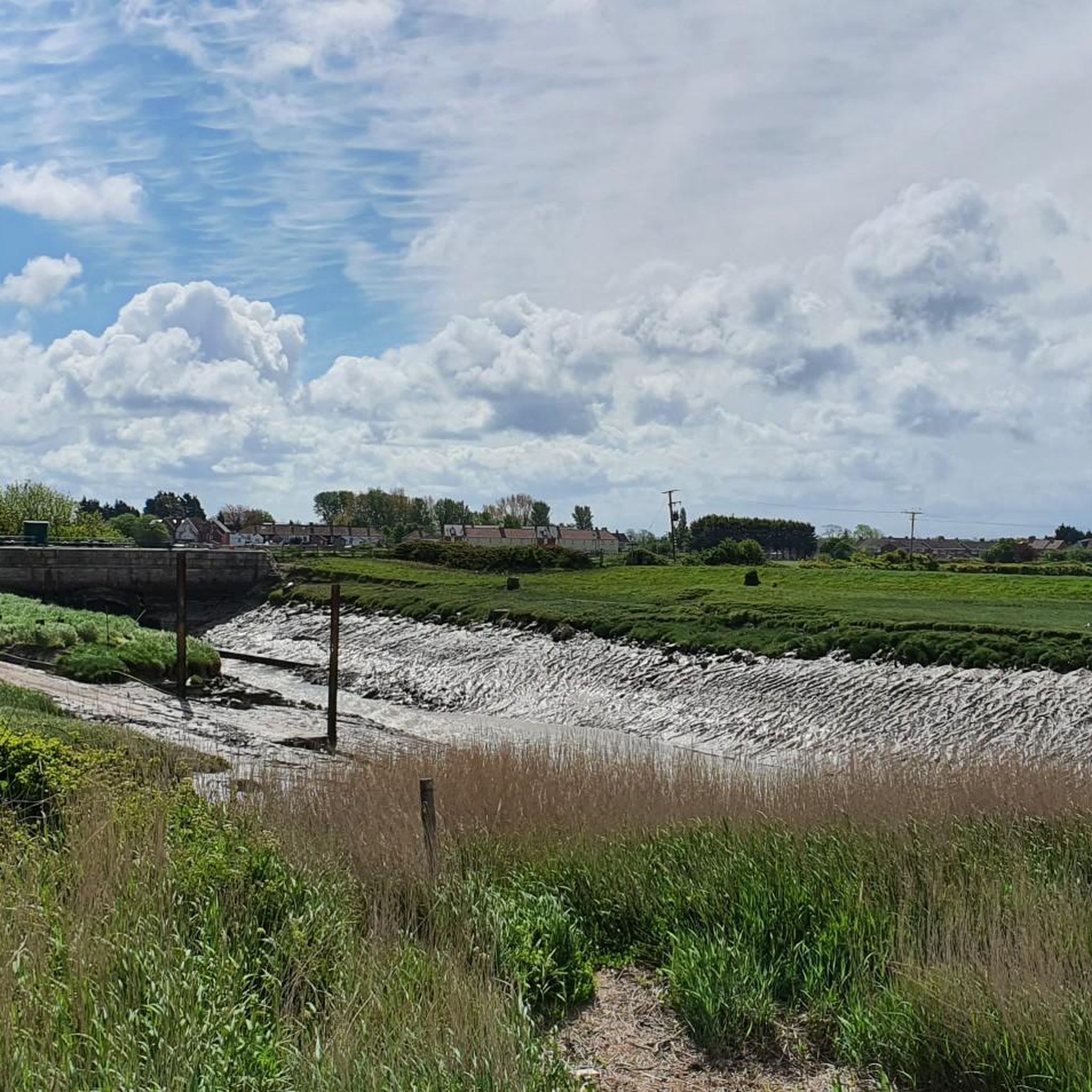
Road cycling around East Huntspill offers routes across the predominantly flat terrain of the Somerset Levels, characterized by open countryside and wetlands. The area provides a network of paths suitable for various skill levels, with minimal elevation changes in many sections. While the immediate vicinity is low-lying, routes may extend towards the Mendip Hills, introducing more varied East Huntspill road cycling terrain elevation difficulty. The landscape features the artificial Huntspill River and extensive wetland habitats.
Best road cycling routes around…
Last updated: July 7, 2026
5.0
(3)
37
riders
Cycle a moderate 47.8-mile loop through the Mendip Hills, tackling Cheddar Gorge and Burrington Coombe, with coastal views near Weston-super
4.3
(4)
74
riders
54.6km
02:19
210m
210m
Moderate road ride. Good fitness required. Mostly well-paved surfaces and easy to ride.

Sign up for free
64
riders
Moderate road ride. Good fitness required. Mostly well-paved surfaces and easy to ride.
5.0
(1)
38
riders
56.1km
02:31
230m
230m
Moderate road ride. Good fitness required. Mostly well-paved surfaces and easy to ride.
5.0
(2)
35
riders
35.6km
01:35
110m
110m
Easy road ride. Great for any fitness level. Mostly well-paved surfaces and easy to ride.
Get access to more routes and recommendations from other explorers.
Sign up for free
Already have an account?
Our route recommendations are based on thousands of hikes, rides, and runs completed by other people on komoot.
Start today with a free account
Your next adventure awaits.
Login or Signup
Tips from the Community


This is a great place to stop for a bit of food. We stopped here on our LEJOG bike ride, six bikers and two support crew. Apart from being a bespoke, yummy, smokehouse with great food they also have outside seating for visitors to sit down and eat. Our stop here was simply super nice, the food, salmon, mackerel, cheeses, spreads, and much, much more was stunning to the taste buds. We loved it here, and it was the best bike stop in twelve days of cycling.
1
0

This ride takes in mostly roads, some main roads , not suitable for kids. Need some adjustments. I will do this route again and make sure the whole circuit is bike friendly using green paths & quiet roads.
0
0


Absolutely beautiful village. Lovely in summertime, some very old and lovely buildings, the Cheddar Reservoir is only a short walk away. I actually done a video on Axbridge on my YouTube channel, noggs4vlogs. https://youtube.com/@noggs4vlogs?si=2HMVCQK9oU6s_-I_
0
0

The Lamb is a traditional roadside country pub, hotel and restaurant opposite the Tudor King John's Hunting Lodge museum in Axbridge. The Lamb was built in 1480 and serves great food and drink. Owned by Butcombe Brewery, the Lamb is on the Butcombe Trail, a 47 mile (75 km) circular pub crawl around the Mendip Hills.
0
0

The rumble strips really took me by surprise but they have ways to get around them. Surface of the road is alright but nothing special. I cycled it around 4:30pm so it was as busy as it gets, which was moderate, certainly nothing too upsetting. Views off to Wales and the Bristol Channel islands.
0
0
Frequently Asked Questions
How many road cycling routes are available around East Huntspill?
There are over 40 road cycling routes available around East Huntspill, catering to various skill levels. These routes explore the flat terrain of the Somerset Levels and extend towards the more varied landscapes of the Mendip Hills.
What is the typical terrain like for road cycling in East Huntspill?
Road cycling in East Huntspill primarily features the predominantly flat terrain of the Somerset Levels, characterized by open countryside and wetlands. While the immediate vicinity is low-lying, routes can extend towards the Mendip Hills, introducing more varied elevation and challenging climbs.
What do other cyclists say about road cycling in East Huntspill?
The road cycling routes around East Huntspill are highly rated by the komoot community, with an average score of 4.8 stars from over 10 reviews. More than 600 road cyclists have used komoot to explore the area, often praising the quiet roads and scenic wetland views.
Are there easy road cycling routes suitable for beginners in East Huntspill?
Yes, East Huntspill offers 15 easy road cycling routes, ideal for beginners or those seeking a relaxed ride. These routes typically stick to the flat expanse of the Somerset Levels, providing a gentle cycling experience with minimal elevation changes.
Are there more challenging road cycling routes near East Huntspill?
For those seeking a challenge, there are 3 difficult road cycling routes available. These routes often extend into the Mendip Hills, featuring significant elevation gains and more demanding climbs. An example is the Cheddar Gorge, Burrington Coombe & Weston Super Mare loop from Highbridge and Burnham, which includes substantial climbing.
What natural landmarks or points of interest can I see along road cycling routes near East Huntspill?
Road cycling routes near East Huntspill offer views of various natural landmarks. You can encounter the extensive wetlands of the Somerset Levels Wetlands, the artificial Huntspill River, and the Shapwick Heath National Nature Reserve. Further afield, routes may offer glimpses of Crook Peak and Brent Knoll Summit and Jubilee Monument, providing panoramic views.
What is the best time of year for road cycling in the East Huntspill area?
The Somerset Levels, including East Huntspill, are generally pleasant for cycling from spring through autumn. The flat terrain makes it accessible for much of the year, but spring and early autumn offer milder temperatures and often less wind, making for ideal conditions to explore the open countryside and wetlands.
Are there any circular road cycling routes around East Huntspill?
Yes, many of the road cycling routes around East Huntspill are designed as loops, allowing you to start and finish at the same point. Examples include the Burnham-on-Sea Pier – Webbington Road loop from Highbridge and Burnham and the Sweets Tea Rooms – Webbington Road loop from Highbridge and Burnham, which offer varied distances and scenery.
Is East Huntspill well-suited for family-friendly road cycling?
East Huntspill and the surrounding Somerset Levels are generally well-suited for family-friendly road cycling due to the predominantly flat terrain and a network of paths with minimal car traffic. Sections of the National Cycle Route 3 (Stop Line Way) are being enhanced for dedicated cycle use, offering safer options for families.
Are there options for parking when cycling in East Huntspill?
While specific dedicated cyclist parking in East Huntspill village isn't detailed, the area is generally accessible. Cyclists often find parking in nearby towns like Highbridge or Burnham-on-Sea, which serve as common starting points for routes extending into the East Huntspill area. Always check local signage for parking regulations.
Are there cafes or pubs along road cycling routes in East Huntspill?
Yes, several road cycling routes in the East Huntspill area pass by or are close to cafes and pubs. For instance, the Sweets Tea Rooms – Webbington Road loop from Highbridge and Burnham mentions a tea room, and other routes may lead to local establishments like the Basonbridge Inn or Crossways Inn in West Huntspill, offering convenient stops for refreshments.
What are some scenic viewpoints accessible by road bike in the area?
While the immediate East Huntspill area on the Somerset Levels is flat, road cycling routes extending slightly further can lead to scenic viewpoints. You can reach areas with views of Crook Peak in the Mendip Hills or the Brent Knoll Summit and Jubilee Monument, which offers sweeping vistas across the Levels, Glastonbury, and even the Welsh coast on clear days.
Most popular attractions around East Huntspill

Get inspired with the komoot mobile app


Explore more
Browse the best Road cycling routes in other regions.
