The best walks and hikes around East Huntspill
4.5
(202)
2,147
hikers
127
hikes
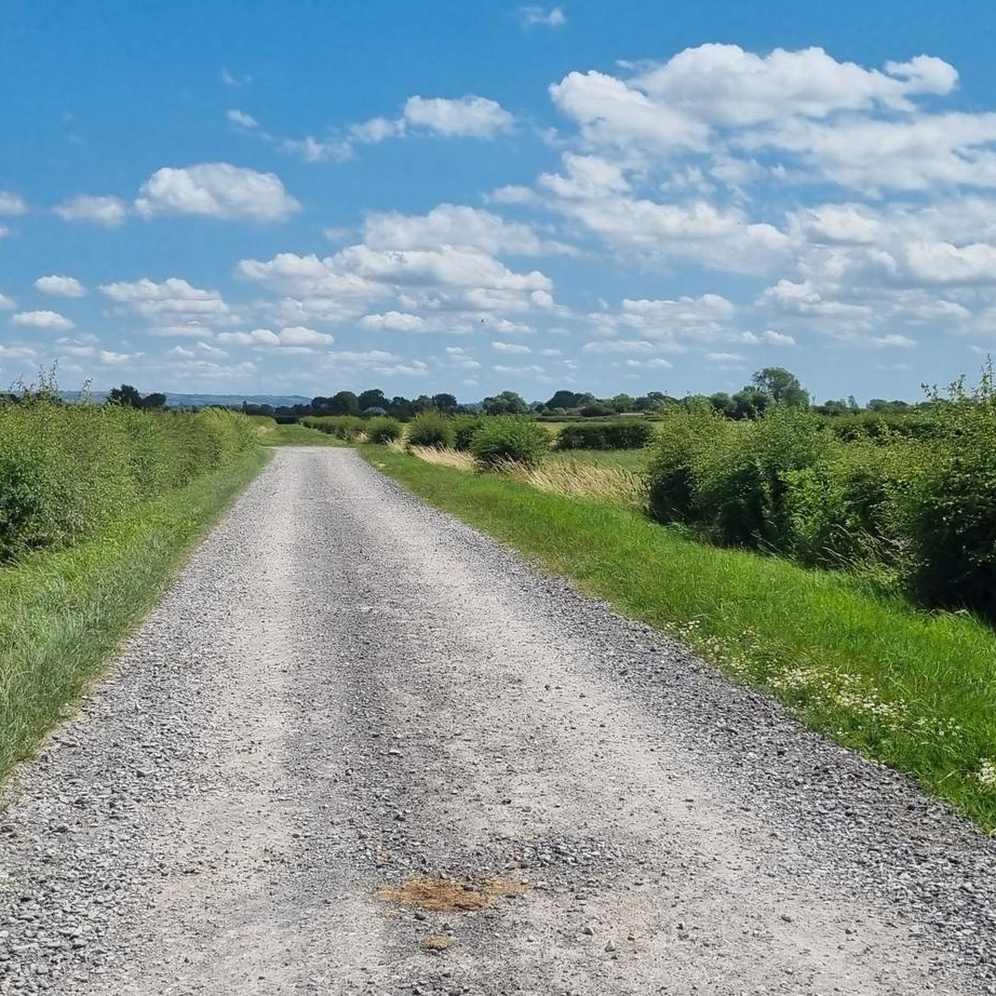
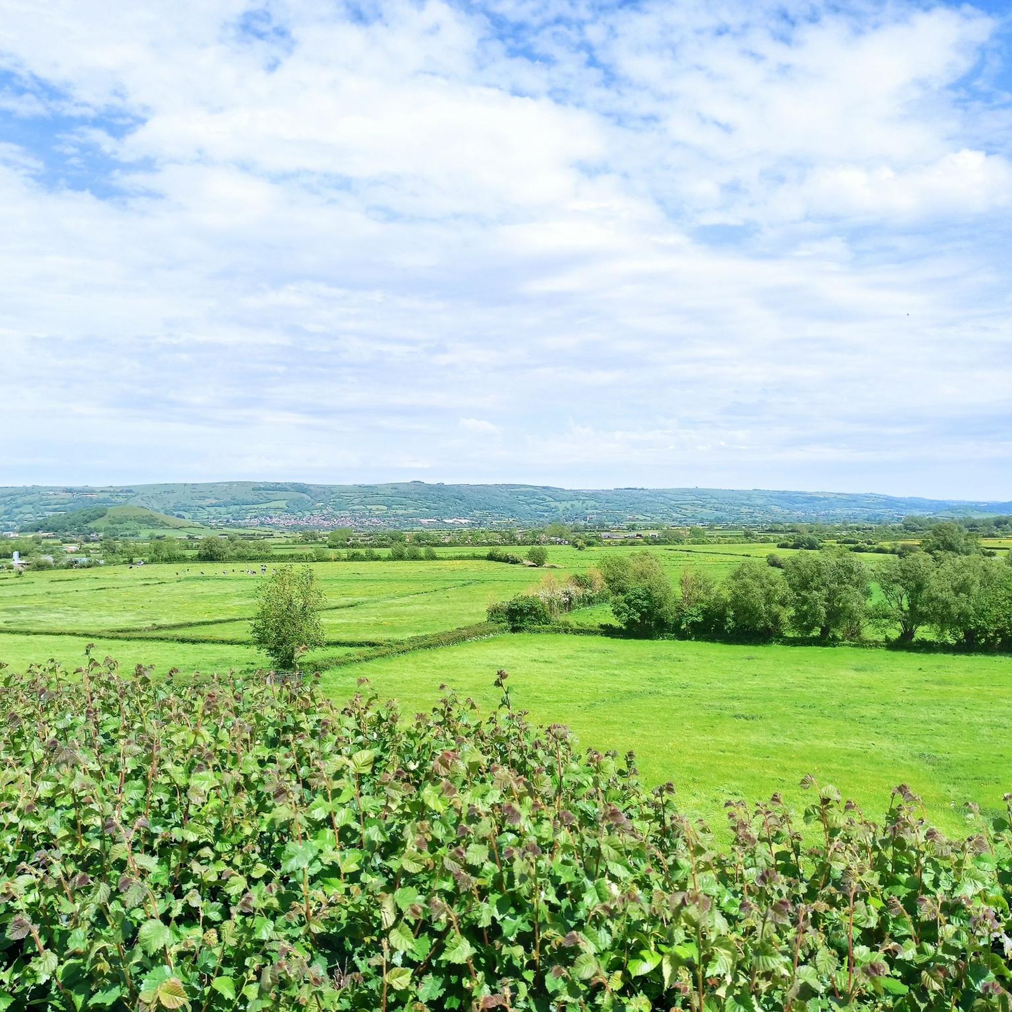
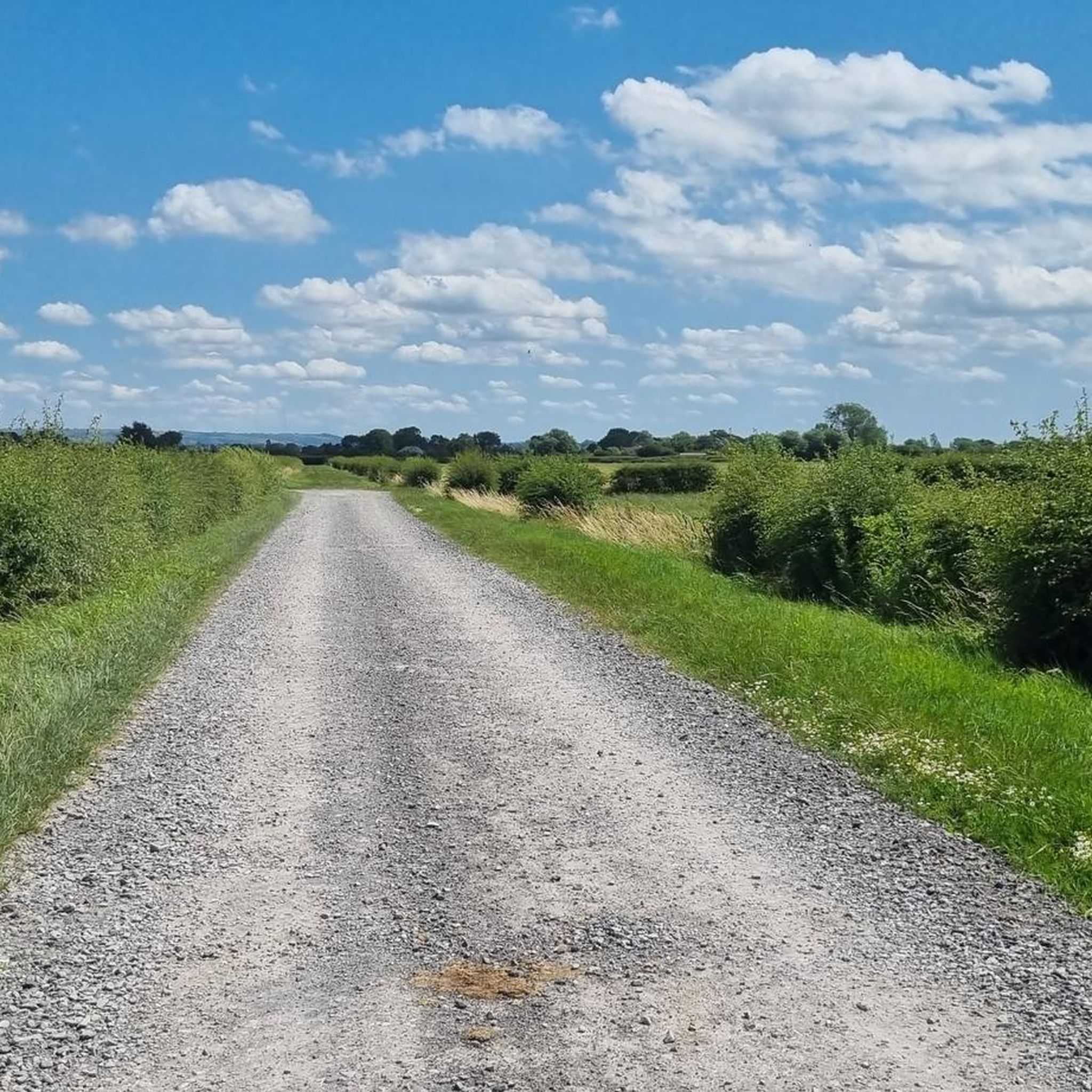
Hiking around East Huntspill explores the low-lying wetlands of the Somerset Levels and Moors. The region is characterized by its flat terrain, intersected by waterways such as the River Brue and the Huntspill River, offering level walks along riverbanks and coastal paths. For routes with more elevation, the nearby Mendip Hills provide ascents to hills like Brent Knoll and Crook Peak, which offer panoramic views.
Best hiking trails around East Huntspill
- The most popular hiking route is View of the…
Last updated: July 10, 2026
4.0
(1)
74
hikers
Moderate hike. Good fitness required. Easily-accessible paths. Suitable for all skill levels.
4.3
(6)
40
hikers
Moderate hike. Good fitness required. Easily-accessible paths. Suitable for all skill levels.

Sign up for free
5.0
(2)
35
hikers
Easy hike. Great for any fitness level. Easily-accessible paths. Suitable for all skill levels.
5.0
(2)
37
hikers
Easy hike. Great for any fitness level. Easily-accessible paths. Suitable for all skill levels.
4.5
(2)
23
hikers
Moderate hike. Good fitness required. Easily-accessible paths. Suitable for all skill levels.
Get access to more routes and recommendations from other explorers.
Sign up for free
Already have an account?
Our route recommendations are based on thousands of hikes, rides, and runs completed by other people on komoot.
Start today with a free account
Your next adventure awaits.
Login or Signup
Tips from the Community


The nine-legged wooden lighthouse was built in 1832 and is a Grade II Heritage listed structure.
0
0

A walk between Highbridge and Burnham-on-Sea overlooking the sailing club
2
0
Apex Leisure and Wildlife Park is an urban park and wildlife centre in Highbridge, Somerset, England. The park was created on the site of a former clay pit and brickwork manufacturing site and provides a link between Highbridge and Burnham-on-Sea. There are various facilities including an outdoor gym, a lake and birdlife.
2
0
Although Burnham-On-Sea Pier is Britain’s shortest pier and comprises no more than a shoreward end pavilion on concrete piles, it is still a lovely structure that, unlike a lot of its bigger counterparts, still retains its Edwardian features and elegance.
2
0
The Low Lighthouse is one of three historic lighthouses in Burnham-on-Sea, Somerset, England, and the only one of the three which is still active.
3
0

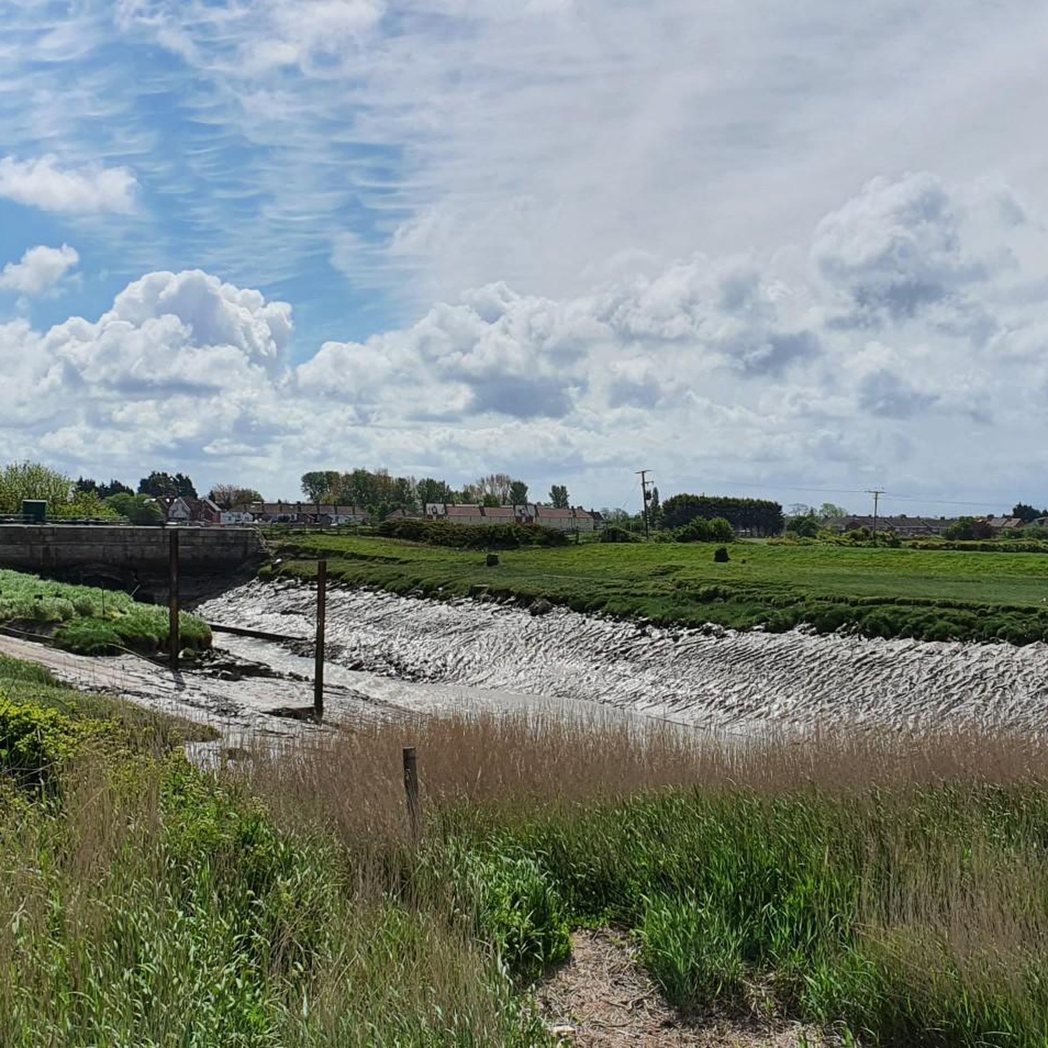
This is Huntspill Sluice - it is passable (and a safe crossing) but you might have to lift your handlebars over the wall to get through
0
0
Frequently Asked Questions
Are there any easy, family-friendly walks around East Huntspill?
Yes, the area is great for families. The landscape is predominantly flat, making for many gentle strolls. For an easy coastal walk, consider the View of Burnham-on-Sea Pier – Burnham-on-Sea Beach loop from Burnham-on-Sea. It's a short, level route perfect for all ages.
Can I take my dog on the trails near East Huntspill?
Dog walkers will find many suitable paths, especially along the riverbanks and coastal routes. However, be aware that many trails pass through farmland with livestock, so you'll need to keep your dog on a lead. The grassy paths along the Huntspill River are a popular choice for dog walking.
I'm looking for a hike with good views. Any suggestions?
For the best panoramic views, you'll want to head for the nearby hills. The ascent of Brent Knoll is a local favourite, offering fantastic 360-degree views over the Somerset Levels and the Bristol Channel. The View of the Somerset Levels – View of Brent Knoll loop from East Brent is a moderate route that takes you right to the summit.
Where can I find good coastal walks?
The coastline near Burnham-on-Sea provides excellent opportunities for flat, scenic walks. You can enjoy long stretches of sandy beach and follow the England Coast Path. A great option is the Burnham-on-Sea Beach – Burnham-on-Sea Low Lighthouse loop from Burnham-on-Sea, which explores the shoreline and takes you past the iconic lighthouse on stilts.
Are there walks along the rivers?
Absolutely. The region is defined by the River Brue and the Huntspill River, both of which have public footpaths running along their banks. These routes are typically very flat and offer peaceful walks through the wetlands. The Purple Spoon loop from Highbridge is a moderate walk that follows parts of the river.
What kind of difficulty should I expect from the trails?
The trails cater to a range of abilities. The majority of routes are easy or moderate, consisting of flat riverbank and coastal paths. For a greater challenge, you can find more difficult hikes with significant elevation gain in the nearby Mendip Hills, which feature some steep ascents.
What are the best areas for wildlife and nature walks?
The area is part of the Avalon Marshes, a vital wetland habitat. For exceptional birdwatching and tranquil nature walks, explore the nearby Shapwick Heath and Westhay Moor National Nature Reserves. These reserves have well-maintained paths and are famous for their starling murmurations in the winter.
How many hiking trails are available in the East Huntspill area?
There are over 130 hiking routes to explore around East Huntspill. They range from short, easy loops to more demanding all-day treks, covering coastal paths, riverbanks, and hill climbs.
Are most of the walking routes circular?
Yes, many of the most popular routes are circular loops that start and end in the same place, which is convenient if you are arriving by car. You can find loops of varying lengths, from short strolls to longer, more challenging circuits like the Burnham-on-Sea Low Lighthouse – View of Brent Knoll loop from East Brent.
What do other hikers think of the routes around East Huntspill?
The routes are highly regarded by the komoot community, with an average rating of 4.4 out of 5 stars. Hikers often praise the variety of landscapes, from the flat, peaceful Somerset Levels to the rewarding climbs and views from hills like Brent Knoll.
Where is a good place for a more challenging hike?
For a more strenuous day out, head to the Mendip Hills National Landscape. This area offers more rugged terrain and steeper climbs than the immediate vicinity of East Huntspill. Hikes to landmarks like Crook Peak provide a good challenge with the reward of incredible views.
Is it easy to find parking for the hikes?
Parking availability varies by route. For coastal walks starting in Burnham-on-Sea, there are several pay-and-display car parks. For more rural routes, you will often find small, dedicated car parks or lay-by parking near the trailhead. It's always best to check the starting point of your chosen route on the map beforehand to see parking options.
Most popular attractions around East Huntspill

Get inspired with the komoot mobile app


Explore more
Browse the best Hikes in other regions.
