The best cycling routes in Þingeyjarsveit
4.6
(18)
442
riders
29
rides
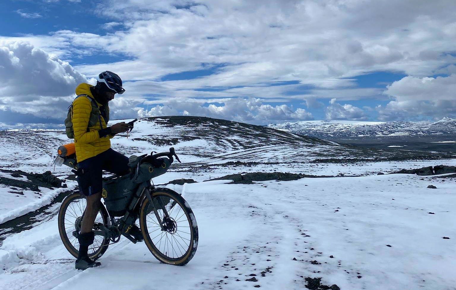
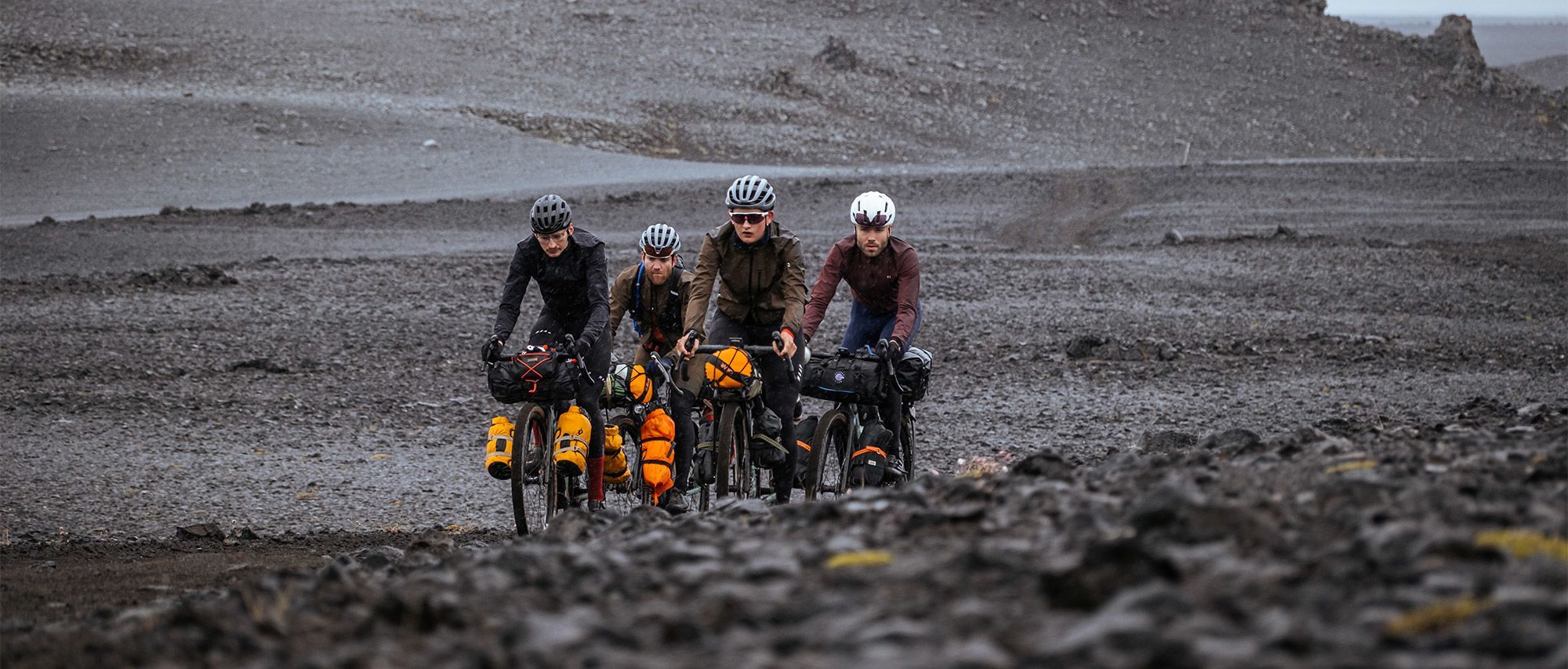
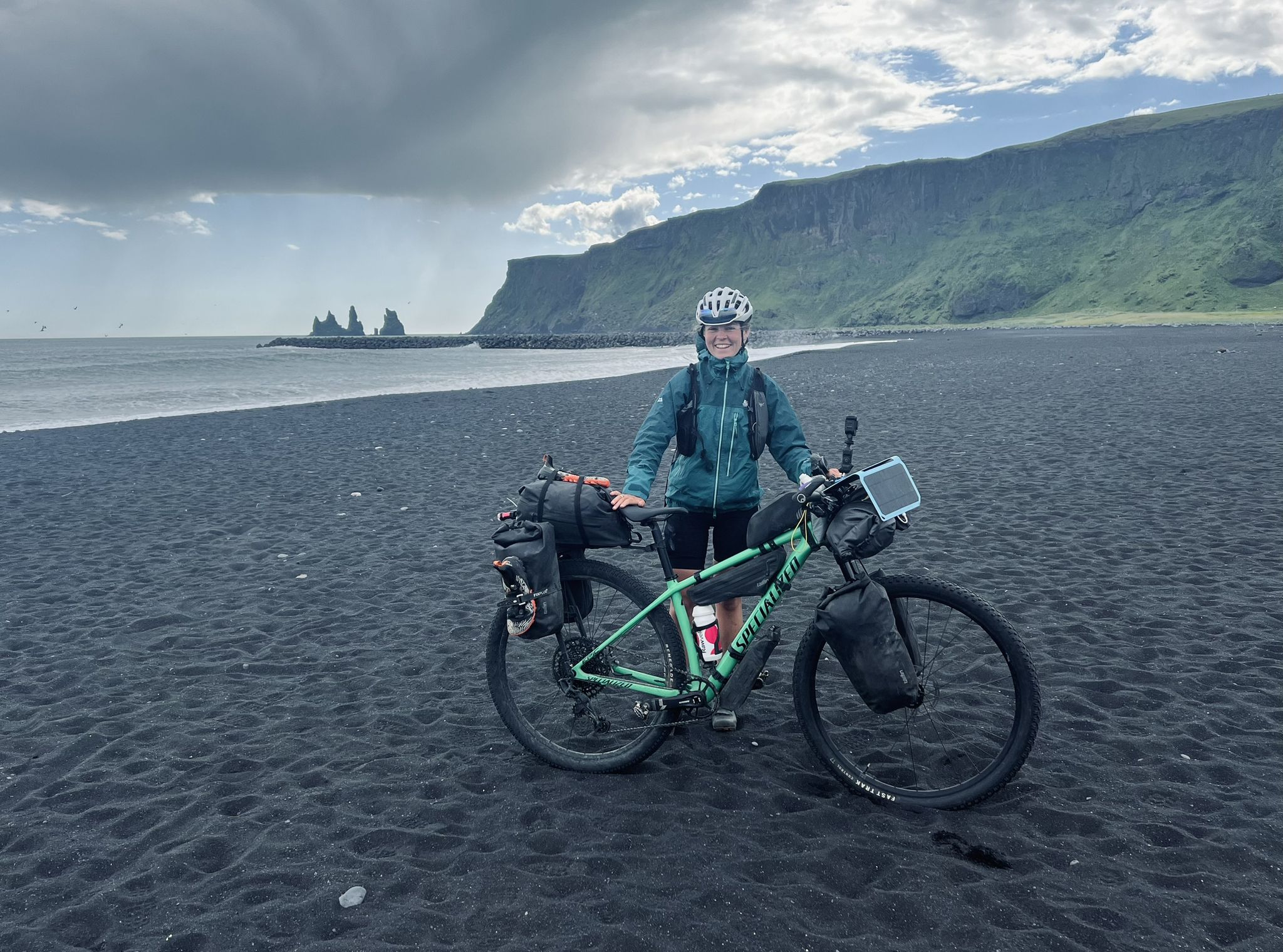
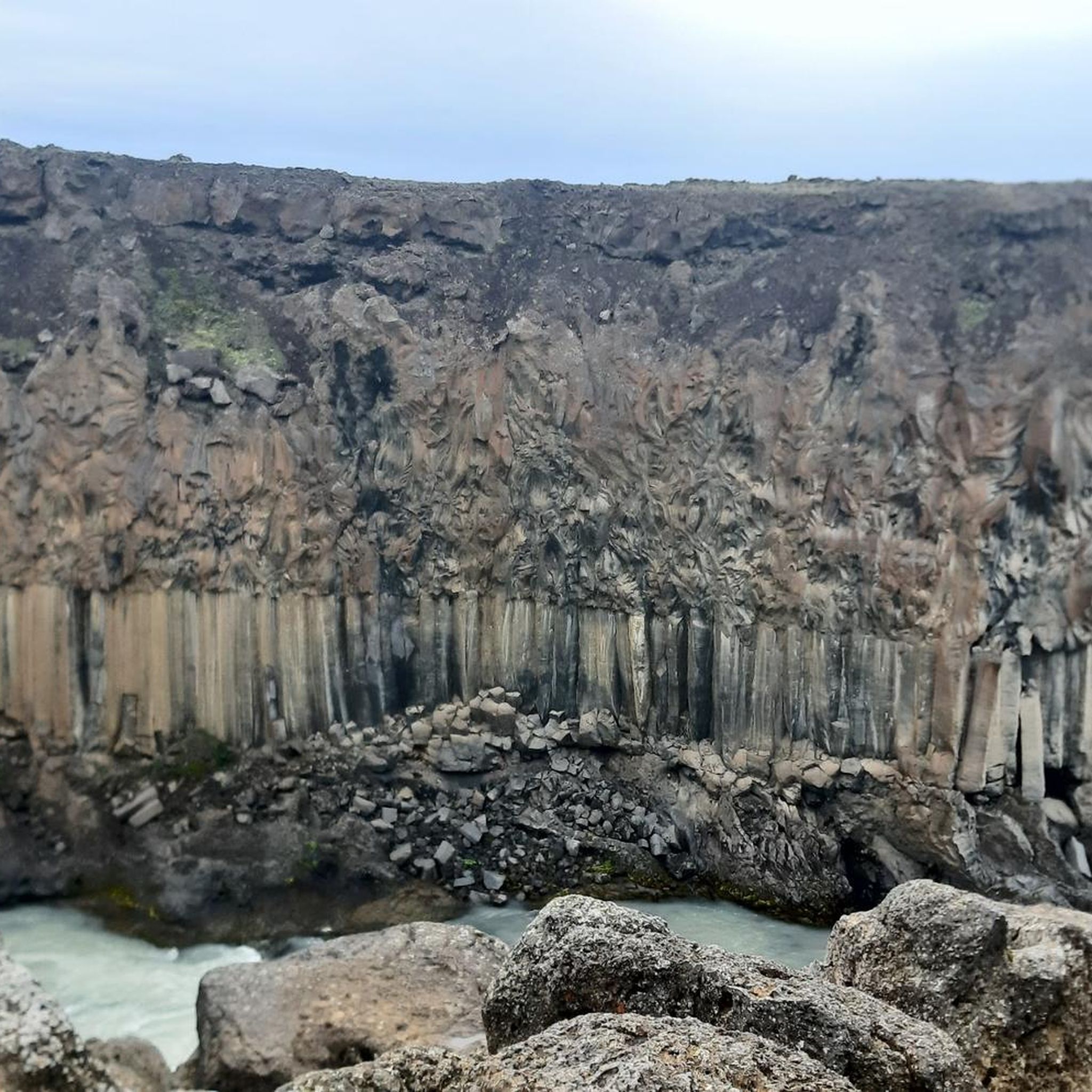
Touring cycling in Þingeyjarsveit offers diverse terrain across northern Iceland. The region features significant rivers like Skjálfandafljót and Fnjóská, which carve through valleys such as Bárðardalur and Fnjóskadalur. Waterfalls like Goðafoss and Aldeyjarfoss are prominent natural features. The landscape includes mountains, birch forests, and geological formations, providing varied backdrops for cycling.
Best touring cycling routes in Þingeyjarsveit
- The most popular touring cycling route is Skútustaðagígar Pseudocraters – Grjótagjá Cave loop from Reykjahlíð, a 26.1 miles (42.0 km) trail that…
Last updated: October 2, 2026
4.3
(8)
93
riders
41.9km
02:31
140m
140m
Moderate bike ride. Good fitness required. Mostly paved surfaces. Suitable for all skill levels.
39
riders
23.2km
02:10
470m
470m
Hard bike ride. Very good fitness required. Mostly paved surfaces. Suitable for all skill levels.

23
riders
Easy bike ride. Great for any fitness level. Mostly paved surfaces. Suitable for all skill levels.
12
riders
20.2km
02:00
500m
500m
Hard bike ride. Very good fitness required. Mostly paved surfaces. Suitable for all skill levels.
5.0
(1)
10
riders
13.7km
01:15
450m
450m
Moderate bike ride. Good fitness required. Mostly paved surfaces. Suitable for all skill levels.
22
riders
13.2km
00:55
110m
110m
Easy bike ride. Great for any fitness level. Mostly paved surfaces. Suitable for all skill levels.
8
riders
24.8km
02:21
620m
620m
Hard bike ride. Very good fitness required. Mostly paved surfaces. Suitable for all skill levels.
7
riders
8.60km
00:44
130m
130m
Easy bike ride. Great for any fitness level. Mostly paved surfaces. Suitable for all skill levels.
7
riders
11.4km
00:52
150m
150m
Moderate bike ride. Good fitness required. Mostly paved surfaces. Suitable for all skill levels.
3
riders
Easy bike ride. Great for any fitness level. Mostly paved surfaces. Suitable for all skill levels.
Get access to more routes and recommendations from other explorers.
Already have an account?
Our route recommendations are based on thousands of hikes, rides, and runs completed by other people on komoot.
Start today with a free account
Your next adventure awaits.
Popular around Þingeyjarsveit
Other adventures in Þingeyjarsveit


Tips from the Community


It's always nice to have to stand at a traffic light.
0
0
It's always nice to have to stop at a traffic light.
0
0
Beautiful building directly across from the city parking lot. Souvenirs and maps can be purchased there. Restroom facilities are free to use.
0
0
Beautiful sculpture in the harbor of Akureyri.
0
0

Akureyri is a city at the foot of the Eyjafjörður fjord in northern Iceland. In the city center is Akureyri Church, built in the 1940s, with stained-glass windows depicting scenes from Icelandic religious history. The church's courtyard offers views of the fjord. The nearby Akureyri Art Museum exhibits contemporary works by Icelandic and international artists. To the south of the city is the Botanical Garden, home to plant species from all over Iceland.
0
0

Friendly staff, clean toilets, the shops open only 1h before planned departures
0
0
Frequently Asked Questions
How many touring cycling routes are available in Þingeyjarsveit?
Þingeyjarsveit offers a wide selection of touring cycling routes, with over 35 options to explore. These routes cater to various skill levels, including 15 easy, 16 moderate, and 6 difficult paths.
What kind of terrain can I expect on touring cycling routes in Þingeyjarsveit?
The terrain in Þingeyjarsveit is incredibly diverse, ranging from flat valley floors to more challenging mountain ascents. You'll cycle through picturesque valleys like Bárðardalur and Fnjóskadalur, alongside significant rivers such as Skjálfandafljót and Fnjóská, and past dramatic geological formations. Some routes might take you through the Vaglaskógur birch forest, offering a different landscape compared to the more open, volcanic areas.
What natural landmarks or attractions can I see while cycling in Þingeyjarsveit?
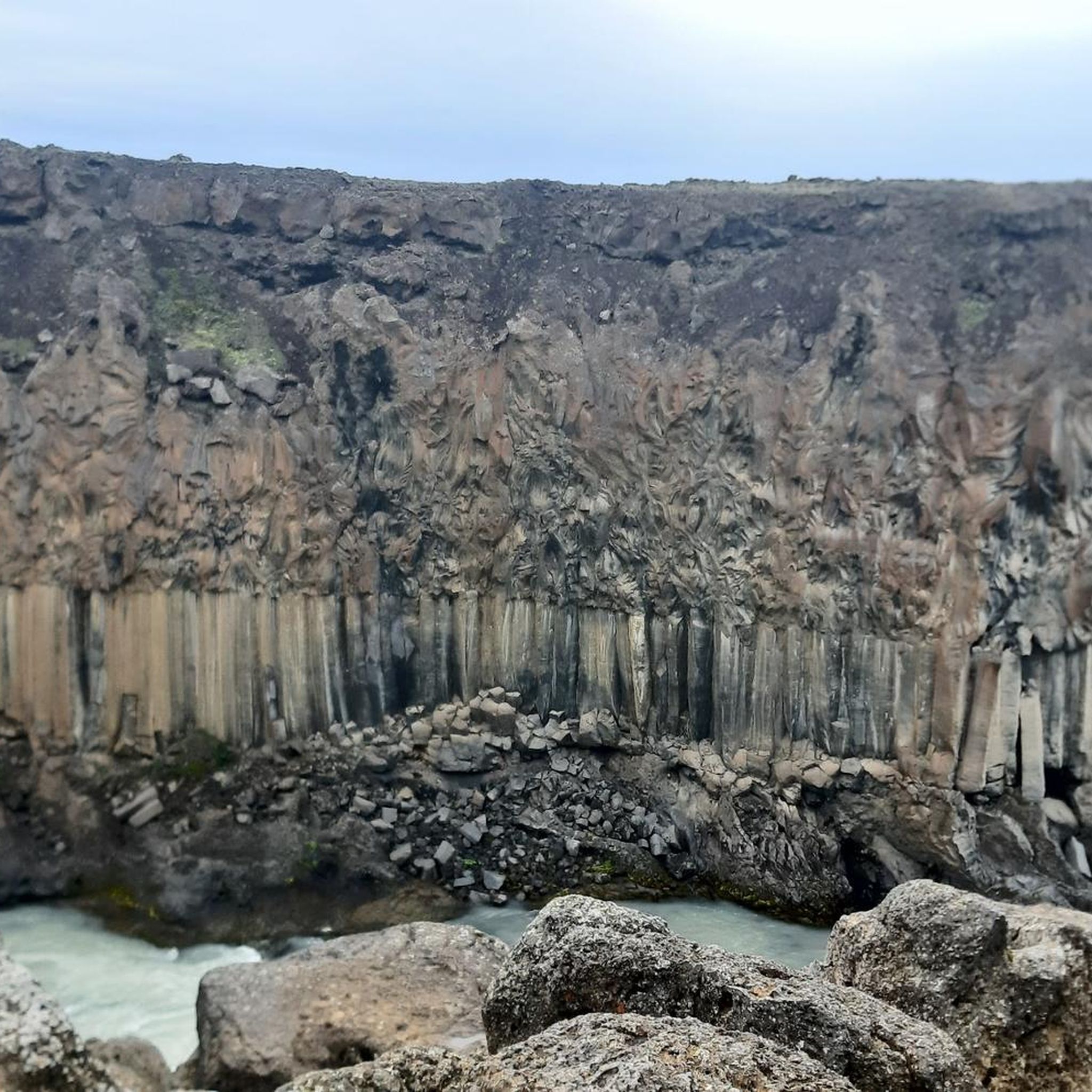
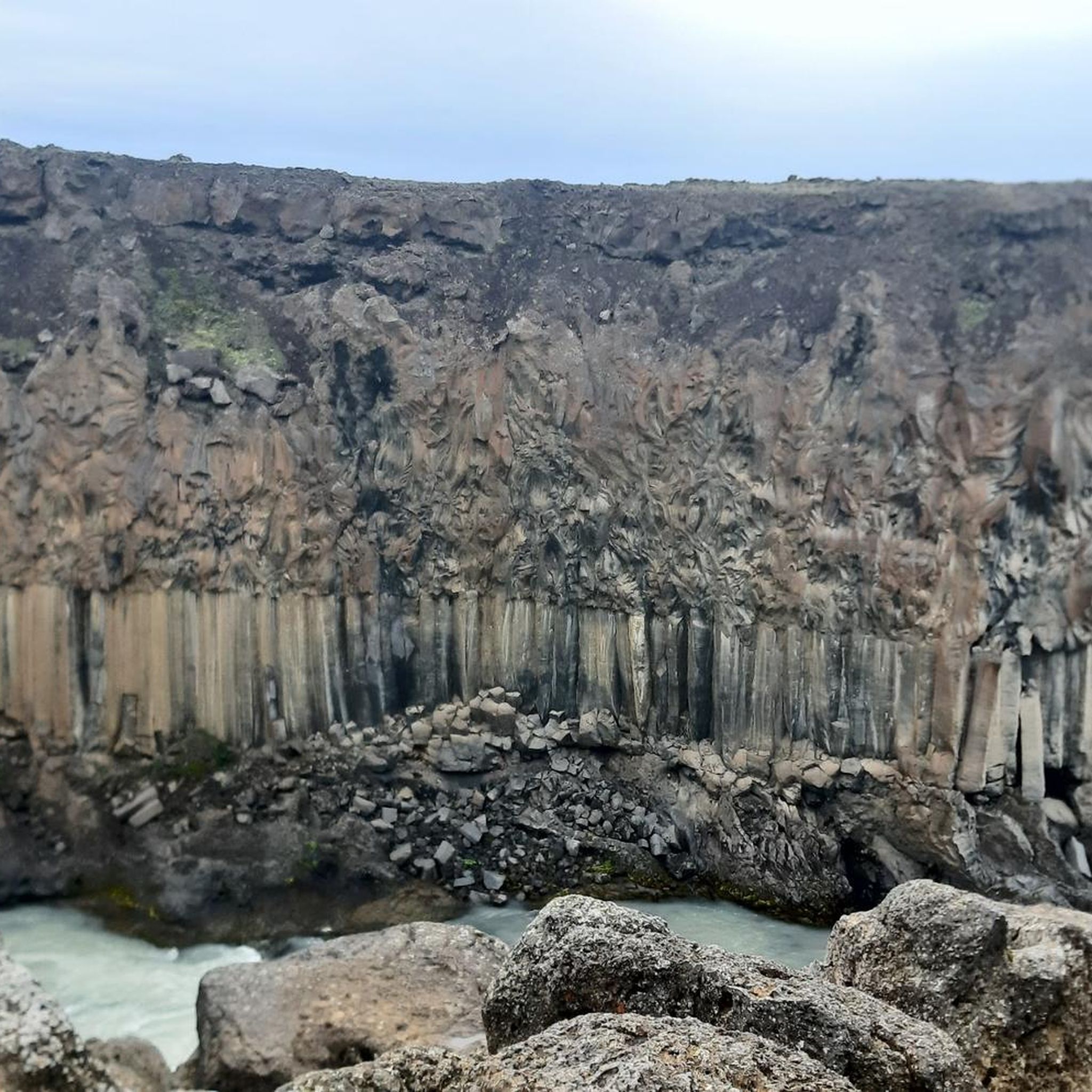
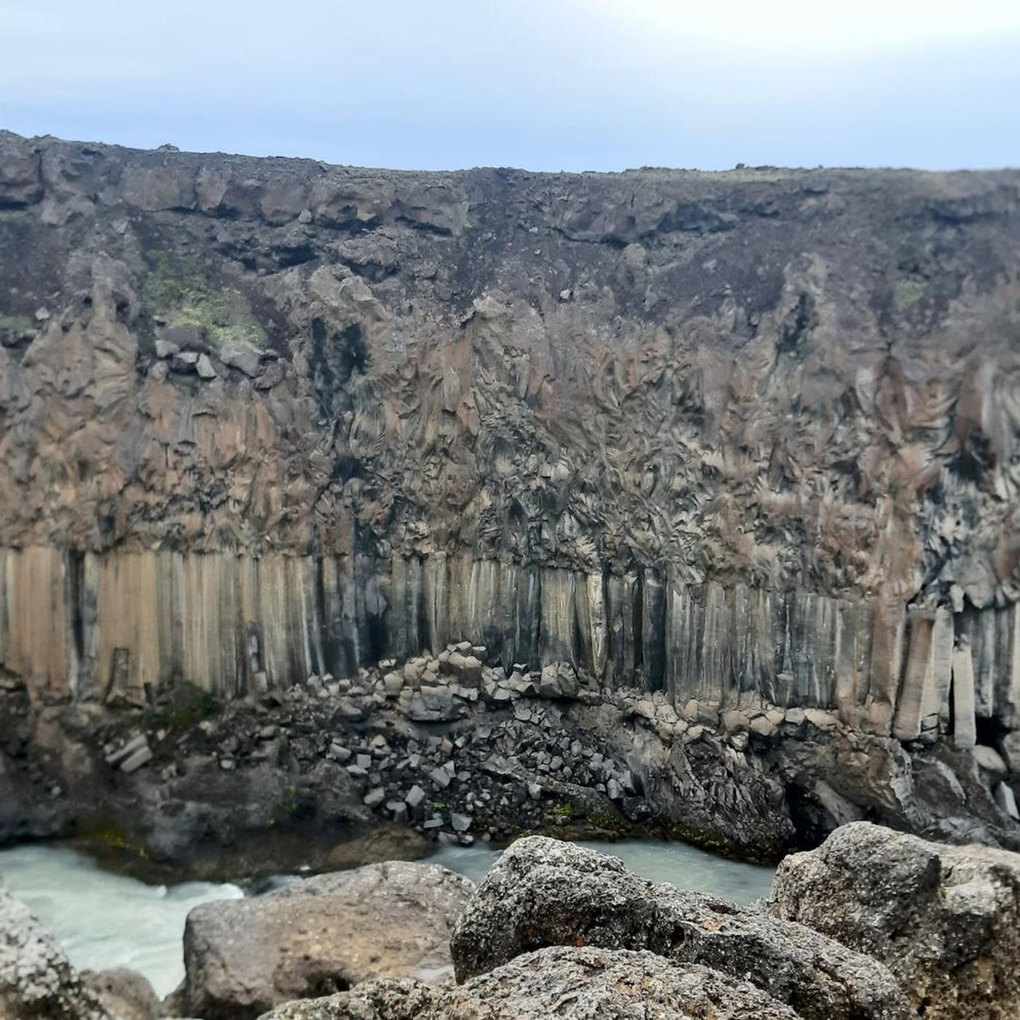
Þingeyjarsveit is rich in natural wonders. Many routes offer views of magnificent waterfalls like Goðafoss, known as 'the Waterfall of the Gods,' and the striking Aldeyjarfoss Waterfall with its basalt columns. You might also encounter the powerful Skjálfandafljót River, or enjoy panoramic views from summits like Vindbelgjarfjall.
Are there touring cycling routes suitable for beginners or families?
Yes, Þingeyjarsveit has 15 easy touring cycling routes perfect for beginners or families looking for a relaxed ride. One such option is the St. Peter's Church – McCormick Farmall Cub Tractor loop from Akureyri, which is just over 10 km long and features minimal elevation gain.
Are there any long-distance touring cycling routes in the region?
For those seeking longer adventures, Þingeyjarsveit offers several extended routes. A notable option is the Akureyri Botanical Garden – Heart-Shaped Traffic Light loop from Naustahverfi, which spans 105 km and takes approximately 6 hours and 40 minutes to complete, traversing both urban and natural landscapes.
Can I find circular touring cycling routes in Þingeyjarsveit?
Many of the touring cycling routes in Þingeyjarsveit are designed as loops, allowing you to start and end at the same point. For example, the popular Skútustaðagígar Pseudocraters – Grjótagjá Cave loop from Reykjahlíð is a moderate 42 km circular route that explores unique geological features.
What is the best time of year for touring cycling in Þingeyjarsveit?
The best time for touring cycling in Þingeyjarsveit is generally during the warmer months, from late spring to early autumn (June to September). During this period, the weather is milder, daylight hours are long, and most roads and trails are clear of snow and ice, providing optimal conditions to enjoy the diverse landscapes.
Are touring cycling routes in Þingeyjarsveit dog-friendly?
While many outdoor areas in Iceland are welcoming to dogs, specific rules can vary by trail or protected area. It's always best to check local regulations for each route you plan to cycle with your dog. Generally, dogs should be kept on a leash, and owners are responsible for cleaning up after their pets.
Where can I find accommodation or places to eat near the cycling routes?
Þingeyjarsveit and its surrounding areas offer various accommodation options, from guesthouses and hotels to campsites, particularly in towns like Akureyri or near popular attractions. You'll also find cafes and restaurants in these areas to refuel after your rides. For more information on local services, you might find resources on the Visit Myvatn website helpful.
What do other touring cyclists say about the routes in Þingeyjarsveit?
The touring cycling routes in Þingeyjarsveit are highly rated by the komoot community, with an average score of 4.1 stars from over 17 reviews. Cyclists often praise the breathtaking landscapes, the untouched natural beauty, and the variety of routes that cater to different abilities, from easy paths to challenging long-distance expeditions.
Are there any challenging touring cycling routes for experienced riders?
Yes, experienced touring cyclists will find challenging routes in Þingeyjarsveit. For instance, the Akureyri Church – Gamli Shelter loop from Akureyri is a difficult 22.9 km path featuring significant elevation gain, leading to a mountain shelter and offering a demanding ride.
Is public transport available to access touring cycling routes in Þingeyjarsveit?
Public transport options in rural Iceland, including Þingeyjarsveit, can be limited. While some bus services connect major towns, direct access to specific trailheads might require personal vehicle transport or a taxi. Planning your route in advance and checking local bus schedules is advisable if you intend to use public transport.
Most popular routes in Þingeyjarsveit
Most popular attractions in Þingeyjarsveit

Get inspired with the komoot mobile app


Explore more
Browse the best Cycling routes in other regions.
