The best hikes from bus stations in Þingeyjarsveit
4.6
(1167)
8,803
hikers
88
hikes
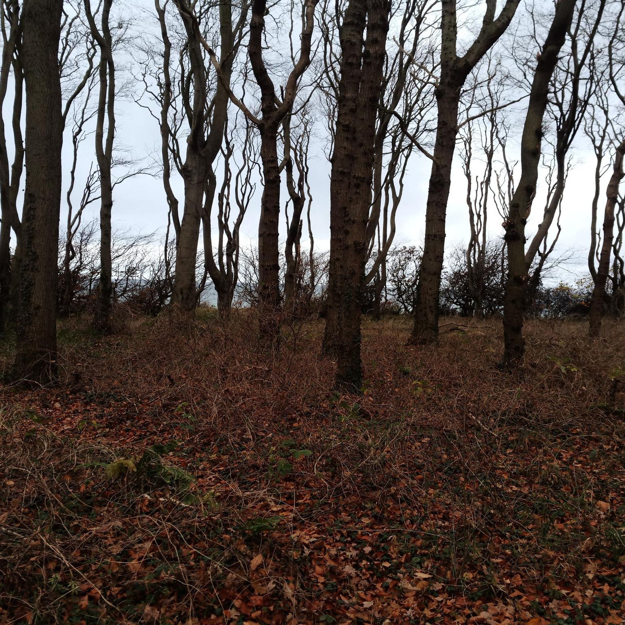
Hiking in Þingeyjarsveit offers diverse natural landscapes, characterized by expansive valleys, birch forests, and features shaped by volcanic activity. The region includes the Fnjóskadalur Valley with the Fnjóská River, and areas with distinctive basalt columns. While the guide focuses on routes accessible from Akureyri, these trails provide varied elevations and scenic views of the surrounding area.
Best public transport hiking trails in Þingeyjarsveit
- The most popular public transport hiking route is View over Eyjafjörður – Akureyri Church loop from Akureyri…
Last updated: October 1, 2026
4.6
(35)
219
hikers
6.90km
01:50
70m
70m
Easy hike. Great for any fitness level. Easily-accessible paths. Suitable for all skill levels.
4.4
(35)
218
hikers
6.15km
01:37
50m
50m
Easy hike. Great for any fitness level. Easily-accessible paths. Suitable for all skill levels.

4.2
(15)
56
hikers
11.0km
02:58
130m
130m
Moderate hike. Good fitness required. Easily-accessible paths. Suitable for all skill levels.
5.0
(3)
29
hikers
5.68km
01:29
40m
40m
Easy hike. Great for any fitness level. Easily-accessible paths. Suitable for all skill levels.
12
hikers
7.50km
02:02
110m
110m
Moderate hike. Good fitness required. Easily-accessible paths. Suitable for all skill levels.
Get access to more routes and recommendations from other explorers.
Already have an account?
Our route recommendations are based on thousands of hikes, rides, and runs completed by other people on komoot.
Start today with a free account
Your next adventure awaits.



Other adventures in Þingeyjarsveit


Tips from the Community


The Akureyri Junior College Akureyri Junior College (MA) is among Iceland's oldest and best-known educational establishments. Our students graduate with University Entrance Exam and are qualified to enter universities in Iceland and abroad. Their academic achievement has confirmed that MA is a top notch college. An integral part of the school is the social life which is organized and conducted by students themselves. An ambitious and active participation in social life along with esteemed academic education is an essential part of the upbringing of young people. MA now holds a student population of 750 people from all over the country. Around 200 of them reside in the dormitory which is located on campus and serves both MA as well as The Akureyri Comprehensive School (VMA). (QUELLE:https://www.ma.is/is/english)
0
0

Beautiful building directly across from the city parking lot. Souvenirs and maps can be purchased there. Restroom facilities are free to use.
0
0
Beautiful sculpture in the harbor of Akureyri.
0
0

Great highlight for taking photos
2
0
A great church with a beautiful view
0
0
Frequently Asked Questions
How many public transport accessible hiking trails are available in Þingeyjarsveit?
This guide features 10 carefully selected hiking trails that are easily accessible by public transport, primarily starting from Akureyri. These routes offer a fantastic way to explore the region without needing a car.
What kind of landscapes can I expect on these public transport hikes in Þingeyjarsveit?
The hikes in this guide, mostly originating from Akureyri, offer diverse urban and natural views. While many routes provide stunning views over Eyjafjörður, the wider Þingeyjarsveit region is known for its dramatic natural landscapes, including expansive valleys, volcanic features, and the unique Vaglaskógur birch forest. You'll find a mix of coastal vistas and town exploration on these specific routes.
Are there any easy public transport accessible hikes suitable for beginners in Þingeyjarsveit?
Yes, many of the routes listed are classified as easy, making them perfect for beginners or those looking for a relaxed stroll. For example, the View over Eyjafjörður – Akureyri Church loop from Akureyri is an easy 6.8 km hike, and the “Love Akureyri” Heart Sculpture – Akureyri Town Centre loop from Akureyri is a shorter, easy 1.5 km option.
What are some notable landmarks or attractions I can see near these public transport trails?
While the routes in this guide focus on Akureyri, the broader Þingeyjarsveit region is home to incredible natural wonders. You can plan separate trips to visit highlights like the majestic Goðafoss waterfall, the unique basalt columns of Aldeyjarfoss Waterfall, or hike to Vindbelgjarfjall Summit for panoramic views. Within Akureyri itself, you'll encounter landmarks like the Akureyri Church and the 'Love Akureyri' Heart Sculpture on many of the featured loops.
Are there any circular walks accessible by public transport in Þingeyjarsveit?
Absolutely! All the routes in this guide are circular walks, meaning you'll start and end at the same point, typically near a bus stop in Akureyri. This makes planning your car-free adventure straightforward. An excellent example is the “Love Akureyri” Heart Sculpture – Laufás School Building loop from Akureyri, a moderate 10.8 km loop.
What do other hikers enjoy most about these public transport trails in Þingeyjarsveit?
The komoot community highly rates the hiking experiences in this region, with an average score of 4.64 stars. Hikers often praise the accessibility of these trails from Akureyri's public transport network, the stunning fjord views, and the convenience of circular routes that allow for easy exploration of the town and its surroundings.
Can I bring my dog on these public transport accessible hikes?
Generally, dogs are welcome on hiking trails in Iceland, provided they are kept on a leash and you clean up after them. However, specific public transport rules regarding pets can vary. It's always best to check with the local bus operator in Akureyri for their current pet policy before planning your trip with your furry friend.
Are these public transport routes suitable for families with children?
Many of the easy and shorter loop trails from Akureyri are very suitable for families. Routes like the Akureyri Church – View over Eyjafjörður loop from Akureyri (3.7 km) offer manageable distances and interesting sights without being too strenuous, making them great for a family outing.
What is the best season for hiking these public transport trails in Þingeyjarsveit?
The best time for hiking in Þingeyjarsveit, including these public transport accessible routes, is typically from late spring to early autumn (May to September). During these months, the weather is milder, days are longer, and trails are generally clear of snow. Public transport services are also more frequent during the peak tourist season.
How reliable are public transport connections to reach these trailheads?
Akureyri serves as a central hub for public transport in North Iceland, offering relatively reliable bus connections. The trails in this guide start directly from Akureyri, often within walking distance of bus stops. For specific routes and schedules, it's advisable to consult the local public transport provider's website, especially when planning trips to more remote areas within Þingeyjarsveit.
Are there any less crowded or 'hidden gem' public transport hikes in the area?
While the routes directly from Akureyri are popular, exploring slightly longer loops or venturing a bit further into the town's outskirts can offer a quieter experience. For a moderately challenging option that might feel a bit more secluded than the shortest loops, consider the Dimmalimm – “Love Akureyri” Heart Sculpture loop from Akureyri, which offers a pleasant 5.4 km walk with varied scenery.
Most popular routes in Þingeyjarsveit
Most popular attractions in Þingeyjarsveit

Get inspired with the komoot mobile app


Didn’t find what you were looking for?
Check out more Hikes throughout Þingeyjarsveit below and find the perfect route in your destination.
Explore more
Browse the best Hikes in other regions.
