The best walks and hikes around Wülfershausen an der Saale
4.5
(2428)
11,113
hikers
43
hikes
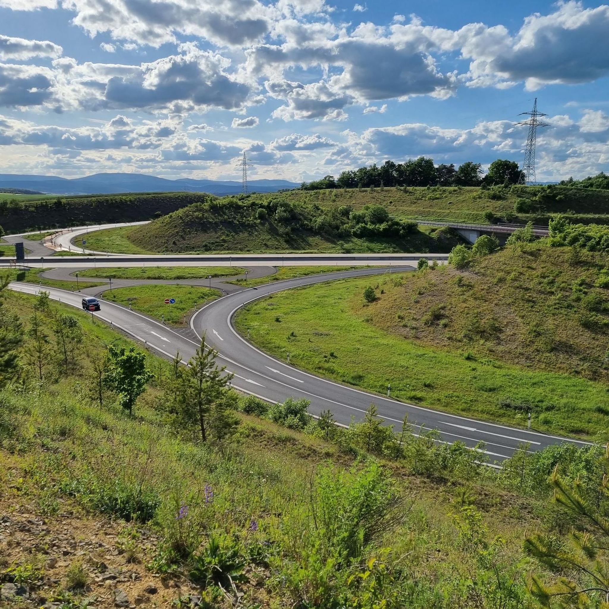
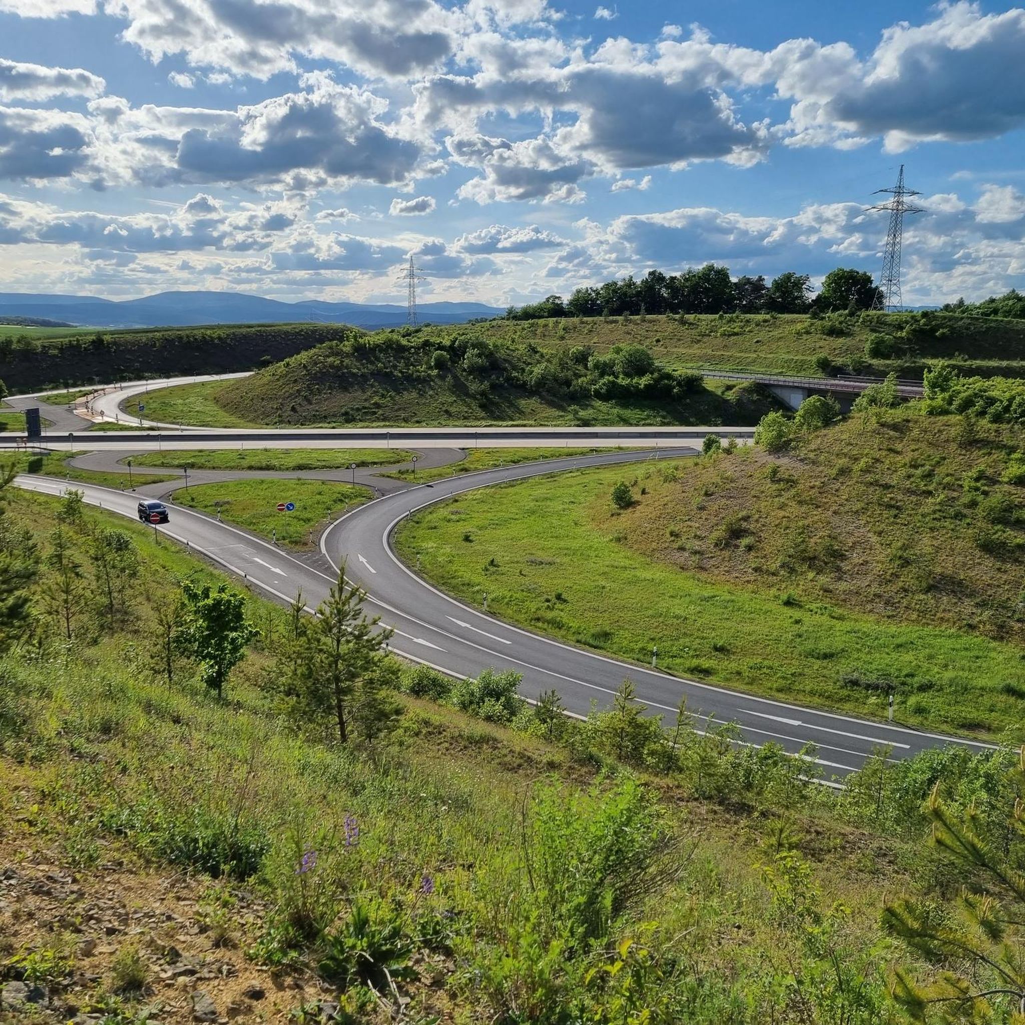
Hiking around Wülfershausen an der Saale offers access to diverse landscapes on the edge of the Bavarian Rhön Nature Park. The region is situated in the Grabfeld area, directly on the Franconian Saale river, providing a mix of riverine environments and rolling hills. Hikers can explore picturesque valleys, dense forests, and gentle hills characteristic of Germany's low mountain ranges. This varied topography includes routes along the Saale, Streu, Elsbach, and Brend rivers.
Best hiking trails around Wülfershausen an der Saale
…Last updated: July 1, 2026
4.8
(4)
29
hikers
Easy hike. Great for any fitness level. Easily-accessible paths. Suitable for all skill levels.
5.0
(2)
13
hikers
Moderate hike. Good fitness required. Easily-accessible paths. Suitable for all skill levels.

Sign up for free
8
hikers
Easy hike. Great for any fitness level. Easily-accessible paths. Suitable for all skill levels.
8
hikers
Moderate hike. Good fitness required. Easily-accessible paths. Suitable for all skill levels.
4.0
(2)
11
hikers
Moderate hike. Good fitness required. Easily-accessible paths. Suitable for all skill levels.
Get access to more routes and recommendations from other explorers.
Sign up for free
Already have an account?
Our route recommendations are based on thousands of hikes, rides, and runs completed by other people on komoot.
Start today with a free account
Your next adventure awaits.
Login or Signup
Tips from the Community

Without a day pass like in Bad Brückenau, try mineral water.
0
0

I'm impressed by the magnificent pilgrimage church. I happened to pass by, and the trip was worth it. It's well worth seeing.
2
0

The village center has been redesigned. Across the street, you'll find an information board about the bike paths. There's a defibrillator at the village hall. It's good to know; hopefully, it won't be needed.
13
0
The Roman Catholic parish church of the Holy Trinity is the village church of Saal an der Saale in the Rhön-Grabfeld district of Lower Franconia. The church is one of the listed buildings of Saal an der Saale and is registered in the Bavarian Register of Monuments under number D-6-73-160-13. Saal an der Saale is part of the parish community "Around the Findelberg." Source: https://de.m.wikipedia.org/wiki/Heilige_Dreifaltigkeit_(Saal_an_der_Saale)
10
0


Taste of mineral water, slightly to distinctly salty, slightly bitter and very slightly metallic
0
0
Frequently Asked Questions
How many hiking trails are available around Wülfershausen an der Saale?
There are over 40 hiking routes around Wülfershausen an der Saale, offering a diverse range of experiences. These include paths along the Franconian Saale river, through picturesque valleys, and into the gentle hills on the edge of the Bavarian Rhön Nature Park.
What types of landscapes can I expect to see while hiking in this region?
The region offers a mix of riverine landscapes along the Saale, Streu, Elsbach, and Brend rivers, as well as rolling hills and dense forests characteristic of Germany's low mountain ranges. You'll find picturesque valleys and open views, especially from elevated points like the Kreuzberg.
Are there easy hiking trails suitable for beginners or casual walkers?
Yes, Wülfershausen an der Saale has over 20 easy hiking routes. A great option for a relaxed walk is the Findelberg Pilgrimage Church – Wohl.Füll.Eck Unpacked Store loop from Wülfershausen an der Saale, which is about 3.5 miles (5.6 km) and leads through gentle terrain.
What do other hikers enjoy most about the trails in Wülfershausen an der Saale?
The trails in Wülfershausen an der Saale are highly rated by the komoot community, with an average score of 4.5 stars from over 400 reviews. Hikers often praise the varied terrain, the scenic river paths, and the well-maintained routes that offer beautiful views of the surrounding Rhön Nature Park and Grabfeld region.
Are there any circular hiking routes available?
Many of the routes around Wülfershausen an der Saale are circular, allowing you to start and end at the same point. An example is the View of Wülfershausen – Saalesteg in Wülfershausen loop from Wülfershausen an der Saale, an easy 4.7-mile (7.6 km) trail that offers views of the town and passes by the Saalesteg.
What historical or cultural sights can I see while hiking in Wülfershausen an der Saale?
Hikers can discover several historical and cultural attractions. These include the impressive Wülfershausen Castle, the 15th-century St. George's Church, and the St. Stephanus Chapel with its Lourdes Grotto. Along the path to the Franconian Saale, you can also find Rococo Shrines, and the medieval White Tower offers rewarding views.
Are there any natural landmarks or lakes to explore near Wülfershausen an der Saale?
Beyond the scenic river landscapes, the region is close to the Bavarian Rhön Nature Park. You can find several lakes nearby, such as Sulzfelder Lake, Lake Frickenhäuser, and Hohenrother Lake. The Kreuzberg also provides unforgettable panoramic views of the area.
Are there any longer or more challenging hikes for experienced walkers?
While most routes are easy to moderate, there is one difficult trail and several moderate options for those seeking a longer challenge. The Saalesteg in Wülfershausen – Sauerbrunnen Mineral Spring loop from Wülfershausen an der Saale is a moderate 8.6-mile (13.8 km) route that explores more of the river landscape.
Is there good parking available for hikers in Wülfershausen an der Saale?
Yes, Wülfershausen an der Saale is generally well-equipped for visitors. Parking is typically available in and around the village, often near trailheads or central points, making it convenient to start your hike.
Can I reach the hiking trails using public transport?
Wülfershausen an der Saale is connected by local public transport, though services might be less frequent than in larger towns. It's advisable to check local bus schedules in advance to plan your journey to the trailheads.
Are there any routes that offer particularly good viewpoints?
Absolutely. The region is known for its rolling hills and offers several spots with excellent views. The Kreuzberg is specifically mentioned for its unforgettable panoramic vistas. Additionally, the White Tower, a medieval watchtower, provides rewarding views of the Grabfeld, Haßberge, and Rhön regions.
Are there family-friendly hiking routes in Wülfershausen an der Saale?
Many of the easy and shorter routes are suitable for families. Trails along the Franconian Saale river are often flat and scenic, perfect for walks with children. The View of Wülfershausen – Saalesteg in Wülfershausen loop is an easy option that families might enjoy.
Most popular routes around Wülfershausen an der Saale
Most popular attractions around Wülfershausen an der Saale

Get inspired with the komoot mobile app


Explore more
Browse the best Hikes in other regions.
