The best road cycling routes around Rauris
4.3
(215)
7,011
riders
47
rides
Road cycling routes around Rauris are set within Austria's Hohe Tauern National Park, offering a diverse alpine landscape. The region features wide valleys, such as the Rauris Valley, and challenging mountain ascents. Notable features include the demanding Grossglockner High Alpine Road with its steep inclines and hairpin bends, alongside routes that traverse protected natural areas. The terrain varies from valley-floor rides to high alpine passes, providing a range of experiences for road cyclists.
Best road cycling routes around Rauris
- The…
Last updated: September 28, 2026
4.7
(27)
1,008
riders
Hard road ride. Very good fitness required. Mostly well-paved surfaces and easy to ride.
4.8
(4)
95
riders
24.0km
01:40
840m
840m
Moderate road ride. Good fitness required. Mostly well-paved surfaces and easy to ride.

4.6
(5)
170
riders
64.7km
03:39
1,130m
1,130m
Hard road ride. Very good fitness required. Some segments of this route may be unpaved and difficult to ride.
78
riders
25.8km
01:04
150m
150m
Moderate road ride. Great for any fitness level. Some segments of this route may be unpaved and difficult to ride.
4.7
(3)
60
riders
Moderate road ride. Good fitness required. Mostly well-paved surfaces and easy to ride.
Get access to more routes and recommendations from other explorers.
Already have an account?
Our route recommendations are based on thousands of hikes, rides, and runs completed by other people on komoot.
Start today with a free account
Your next adventure awaits.
Popular around Rauris
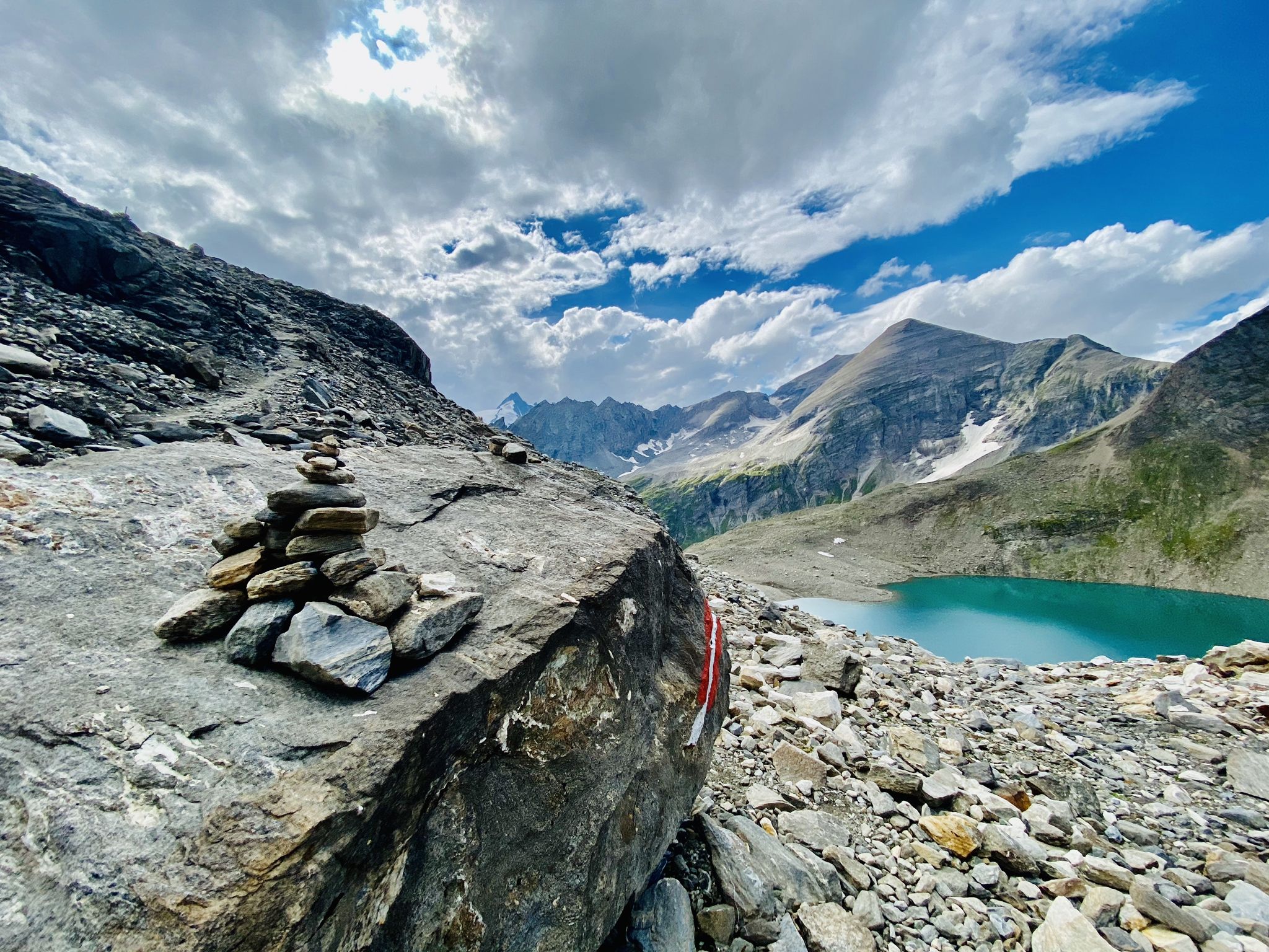
The Tauernhöhenweg – Once across the Hohe Tauern
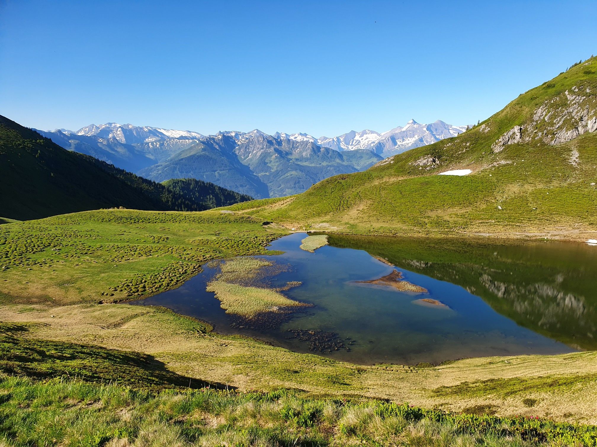
Hohe Tauern Panorama Trail – Face-to-face with 3000-metre peaks

Ruperti Trail – Hike from Austria's Bohemian Forest to the Carnic Alps
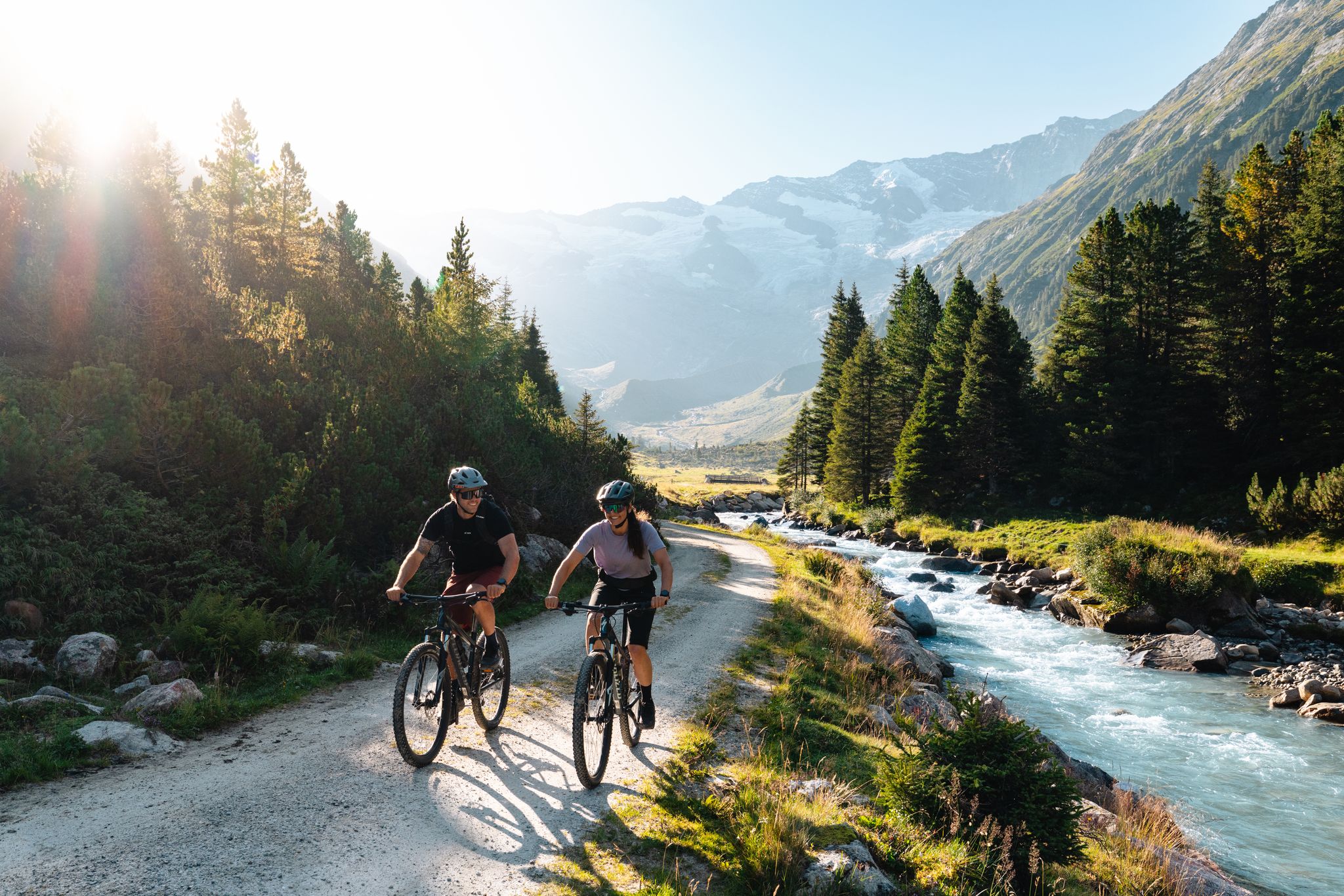
14 stages through the national park valleys – Hohe Tauern Bike Trail
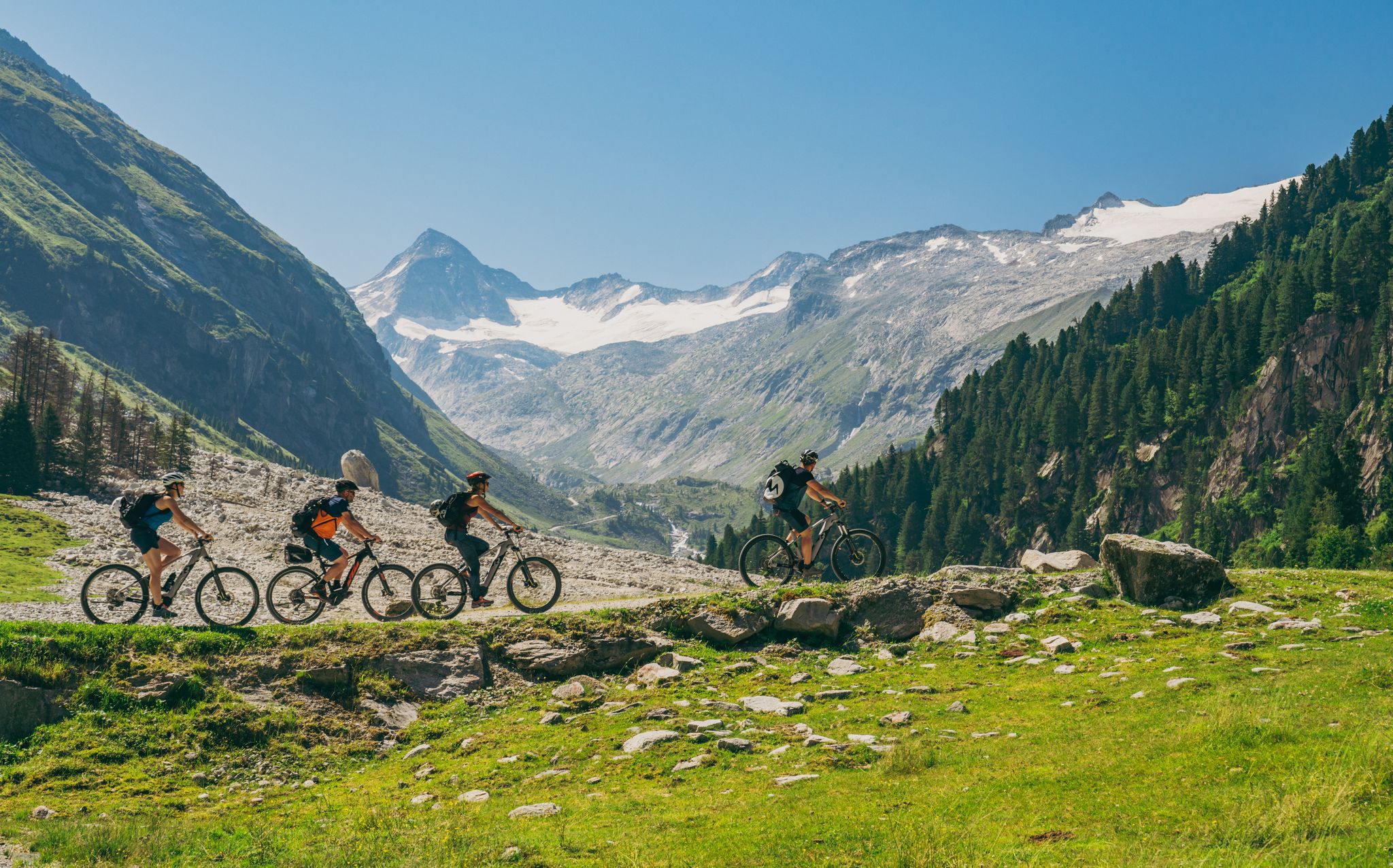
Ride to the alpine pastures in Austria's Hohe Tauern National Park Region
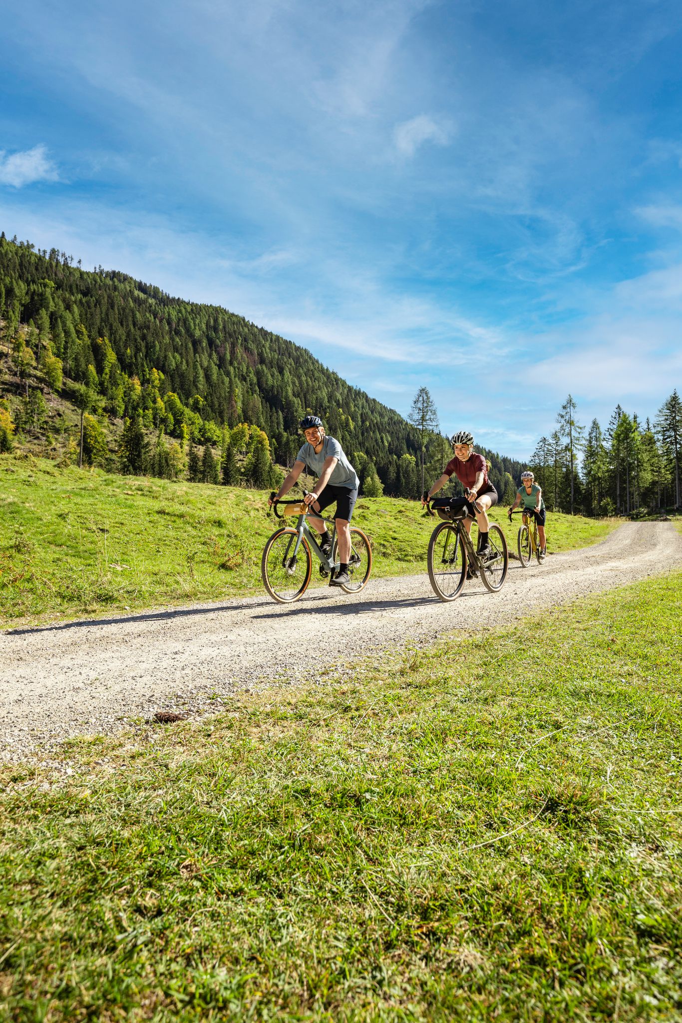
Lake Constance to Lake Neusiedl – explore Austria's federal states on gravel
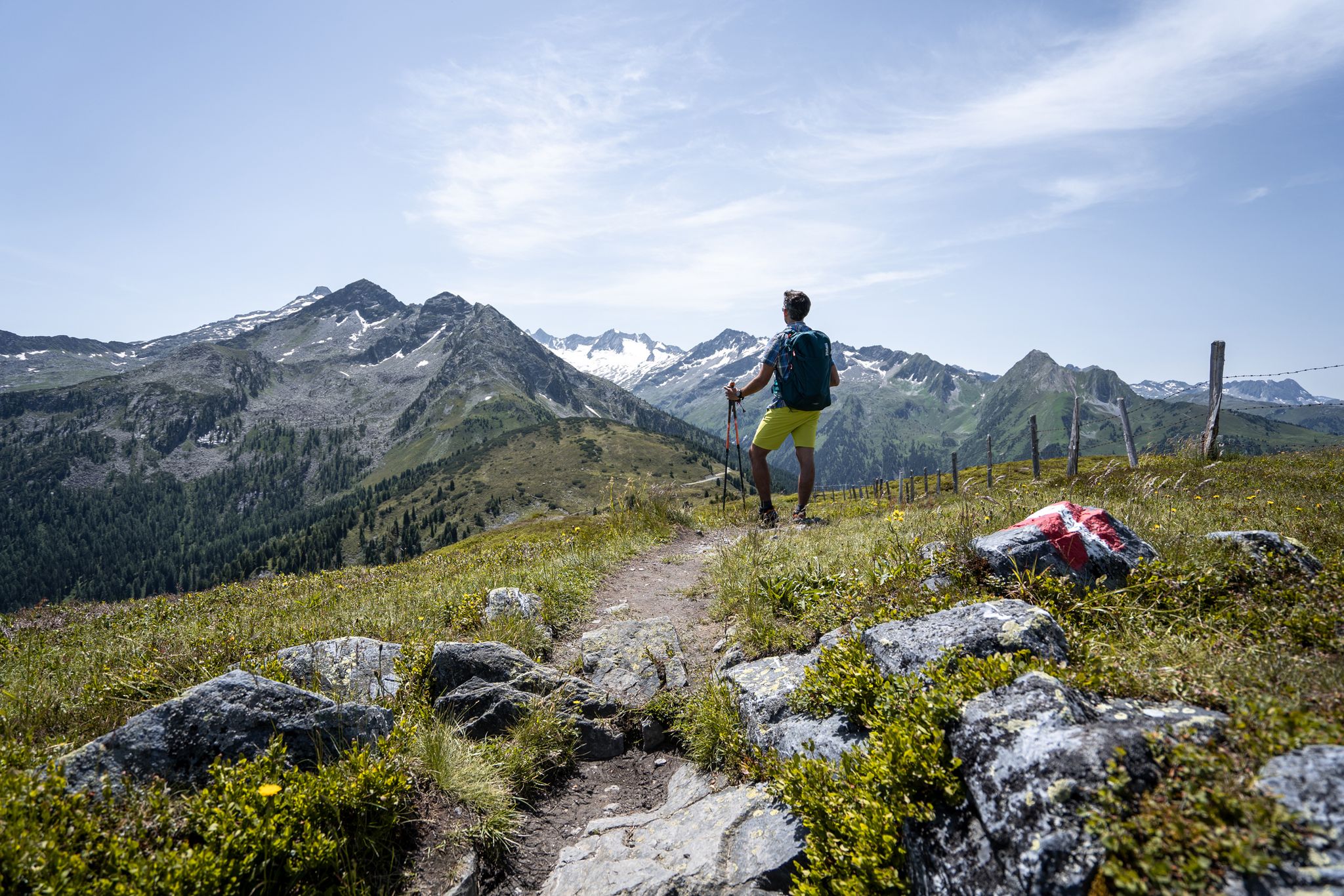
Best views of the highest mountains — Hohe Tauern Panorama Trail

On a voyage of discovery in Austria’s High Tauern National Park
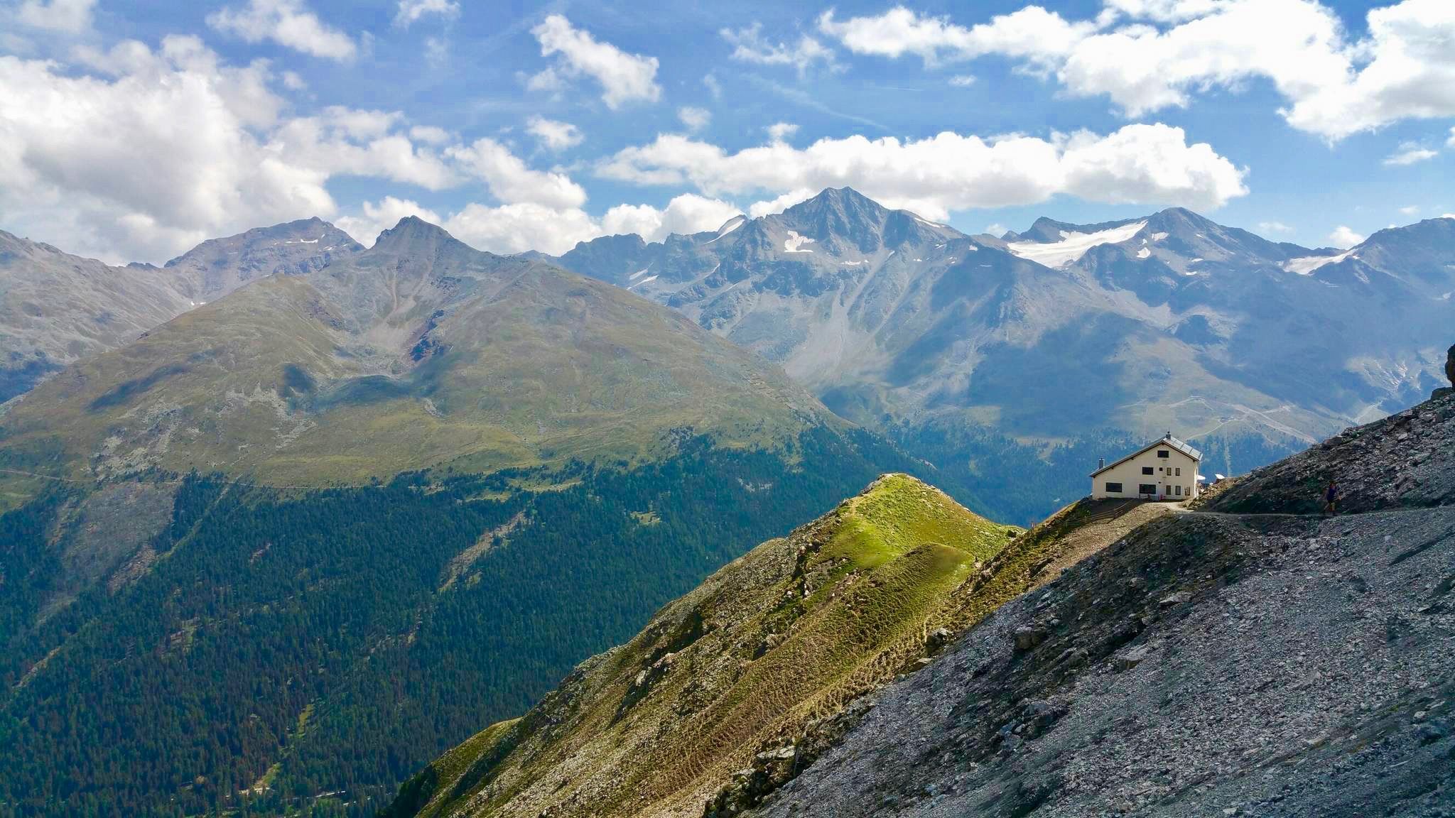
Huts with fantastic views
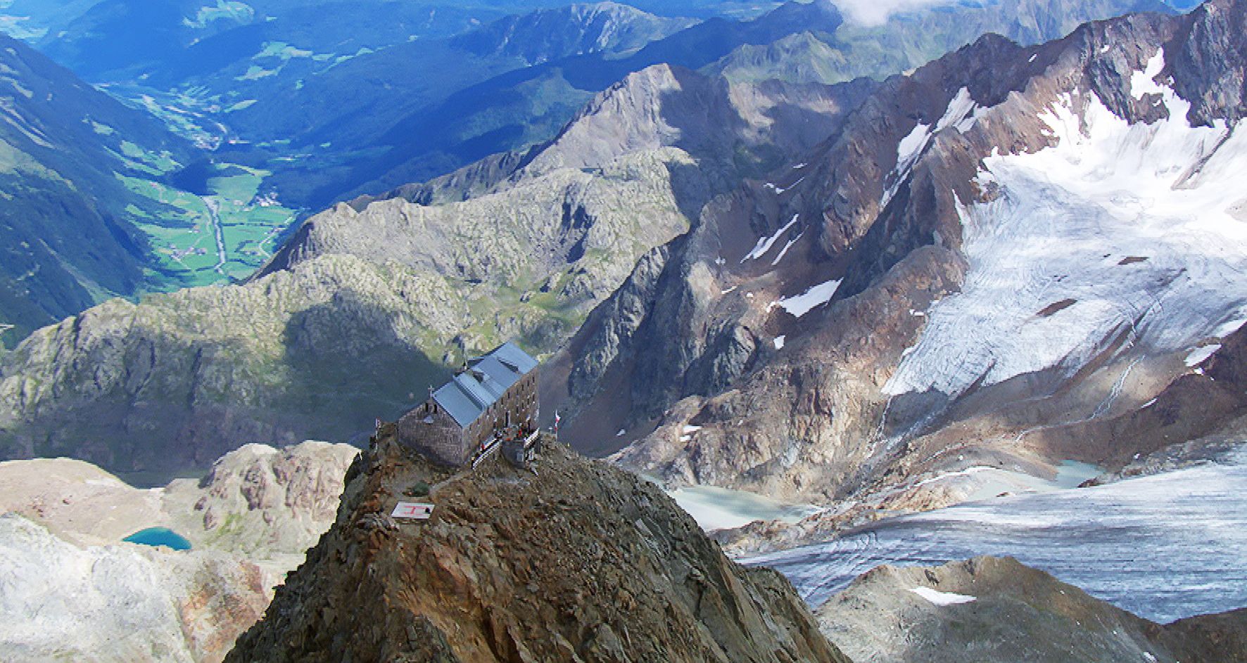
Sleep above 3000 meters
Other adventures around Rauris


Tips from the Community

Everyone's performance in dialect in front of a great backdrop!!!
0
0

What a panorama and sense of accomplishment to have made it over the pass by bike.
1
0

Beautiful in every season - e.g. Aktobernfang October
1
0

Long and, at least in good weather, busy, but the view is breathtaking!
1
0

The famous High Alpine Road winds its way up to the Fuscher Törl Höhe mountain pass at an elevation of 2,428 meters. The road connects the states of Salzburg and Carinthia and is 48 kilometers long. The High Alpine Road has a total of 36 hairpin bends, but luckily, you don't have to take all of them on your way up. ;)
2
0

A very nice bike path
3
0

Frequently Asked Questions
What types of road cycling routes can I find in Rauris?
Rauris, nestled within the Hohe Tauern National Park, offers a diverse range of road cycling routes. You'll find everything from leisurely rides along the Rauriser Ache river in wide valleys to challenging ascents into the high alpine mountains. The region features routes suitable for various skill levels, including moderate valley rides and difficult high-altitude climbs like those on the Grossglockner High Alpine Road.
Are there any easy road cycling routes for beginners or families in Rauris?
Yes, Rauris offers several easier road cycling options. While many routes involve significant elevation, there are 7 easy routes available. These typically follow the valley floor, providing a gentler experience suitable for beginners or families looking for a more relaxed ride. The Rauris Valley itself has a well-developed cycling trail network with routes that remain in the valley.
What are the most challenging road cycling routes in Rauris?
For experienced road cyclists seeking a demanding challenge, the Grossglockner High Alpine Road is a major draw. This route features steep inclines and 36 hairpin bends, leading through a high alpine landscape with breathtaking views. Examples of difficult routes include Fuscherkarkopf – Grossglockner High Alpine Road loop from Hochtor and the extensive Hochtor Pass Summit (2,504 m) – Grossglockner High Alpine Road loop from Großglockner Guttal.
What natural features or landmarks can I see along the road cycling routes in Rauris?
Rauris is rich in natural beauty and historical sites. Along your rides, you might encounter impressive waterfalls like Gastein Waterfall, or dramatic gorges such as Kitzlochklamm Gorge. The region is also home to the unique Krumltal, known as the 'Valley of the Vultures,' and the untouched Rauris Primeval Forest. For panoramic views, you could explore areas near Fulseck Summit or Kreuzkogel Summit.
Are there any historical sites or castles to explore near the cycling routes?
Yes, Rauris has a rich history, particularly with gold mining. While cycling, you might pass by historical areas or find opportunities to visit sites like the Rauris Valley Museum. For those interested in castles, nearby options include Weitmoser Little Castle and Klammstein Castle, offering a glimpse into the region's past.
What is the best time of year for road cycling in Rauris?
The best time for road cycling in Rauris is generally during the warmer months, from late spring to early autumn. This period offers more stable weather conditions and ensures that high alpine roads, like the Grossglockner High Alpine Road, are open and free of snow. Summer provides lush landscapes and comfortable temperatures for exploring the diverse terrain.
Are there any loop trails for road cyclists in Rauris?
Yes, Rauris offers several loop trails that allow you to start and end your ride in the same location. For instance, the Rauriser Höhe Near Embach – Rauriserhöhe Pass (978 m) loop from Wörth Schütt is a moderate option. Many of the more challenging routes, especially those traversing mountain passes, are also designed as loops, providing a comprehensive tour of the alpine landscape.
How many road cycling routes are available in the Rauris region?
There are over 50 road cycling routes available in the Rauris region, offering a wide variety of distances, elevations, and difficulties. This includes 7 easy routes, 31 moderate routes, and 15 difficult routes, ensuring options for every skill level.
What do other road cyclists think about the routes in Rauris?
The road cycling routes in Rauris are highly rated by the komoot community, with an average score of 4.3 stars from over 200 reviews. Cyclists often praise the stunning alpine scenery, the well-maintained network of trails, and the diverse challenges offered, from serene valley rides to epic mountain passes like the Grossglockner High Alpine Road.
Can I combine road cycling with other activities in Rauris?
Absolutely. Rauris is an excellent base for combining road cycling with other outdoor activities. The Hohe Tauern National Park offers numerous hiking trails, opportunities for bird watching in the Krumltal, and exploration of the Rauris Primeval Forest. You can also delve into the region's gold mining history or simply enjoy the many natural springs and waterfalls.
Are there options for long-distance road cycling in Rauris?
Yes, for those seeking longer distances, Rauris is connected to broader cycling networks. The region is part of the Pinzgau cycle route network and the border-crossing Tauern Cycling Route, offering extensive options for multi-day tours or very long day rides. The Hochtor Pass Summit (2,504 m) – Grossglockner High Alpine Road loop from Großglockner Guttal, for example, is a challenging 150.9 km route.
What kind of terrain can I expect on road cycling routes around Rauris?
The terrain around Rauris is highly varied. You can expect flat to gently rolling sections in the wide valley floors, particularly along the Rauriser Ache river. However, many routes quickly transition into significant ascents, especially when heading towards the Hohe Tauern National Park's higher elevations. The Grossglockner High Alpine Road is a prime example, featuring sustained steep climbs and numerous hairpin bends through a high alpine landscape.
Most popular attractions around Rauris

Get inspired with the komoot mobile app


Explore more
Browse the best Road cycling routes in other regions.
