The best gravel rides around Rauris
4.6
(45)
507
riders
18
rides
Gravel biking around Rauris offers routes through alpine valleys and mountainous terrain. The region is characterized by significant elevation changes, providing challenging climbs and descents. Trails often traverse forested areas and open landscapes, with views of the surrounding peaks. The network of routes caters to those seeking demanding gravel cycling experiences.
Best gravel bike trails around Rauris
- The most popular gravel bike trail is Magnificent view – Hochtor loop from Fusch an der Großglocknerstraße, a 28.4 miles (45.8 km) trail that takes 5 hours 11 minutes to complete, featuring substantial elevation gain.
- Another top favourite among local gravel bikers is Old Großglockner Road – View of the Fuscher Törl loop from Heiligenblut, a difficult 58.9 miles (94.8 km) path with extensive climbs and panoramic mountain vistas.
- Local gravel bikers also love the View of Bad Hofgastein – Gadaunerer Hochalmen loop from Tauernbahn, a 14.5 miles (23.4 km) trail leading through alpine pastures and offering valley views, often completed in about 2 hours 11 minutes.
- Gravel biking around Rauris is defined by high alpine passes, challenging ascents, and scenic valley routes. The network primarily offers challenging routes for experienced gravel bikers.
- The routes in Rauris are highly rated by the komoot community with an average score of 4.7 stars from over 48 reviews. More than 500 gravel bikers have used komoot to explore Rauris's varied terrain.
Last updated: August 12, 2026
4.8
(13)
133
riders
45.8km
05:11
2,070m
2,070m
Hard gravel ride. Very good fitness required. You may need to push your bike for some segments of this route.
5.0
(6)
82
riders
99.8km
08:47
3,940m
3,940m
Hard gravel ride. Very good fitness required. Mostly paved surfaces. Suitable for all skill levels.

Sign up for free
5.0
(3)
22
riders
23.4km
02:11
980m
980m
Hard gravel ride. Very good fitness required. Mostly paved surfaces. Suitable for all skill levels.
5.0
(1)
50
riders
Hard gravel ride. Very good fitness required. Mostly paved surfaces. Suitable for all skill levels.
4.7
(3)
14
riders
27.1km
02:38
1,140m
1,140m
Hard gravel ride. Very good fitness required. Mostly paved surfaces. Suitable for all skill levels.
Get access to more routes and recommendations from other explorers.
Sign up for free
Already have an account?
Our route recommendations are based on thousands of hikes, rides, and runs completed by other people on komoot.
Start today with a free account
Your next adventure awaits.
Login or Signup
Popular around Rauris
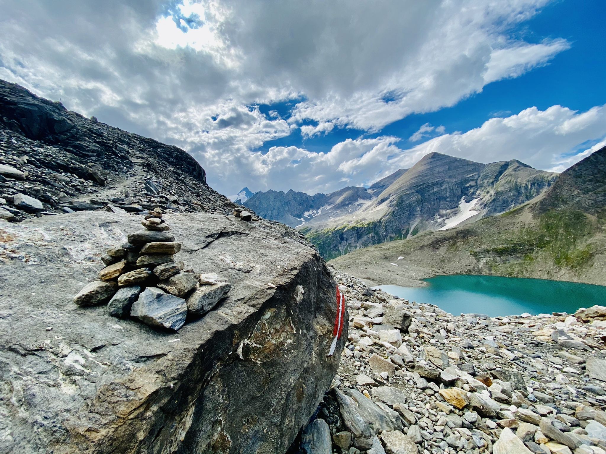
The Tauernhöhenweg – Once across the Hohe Tauern
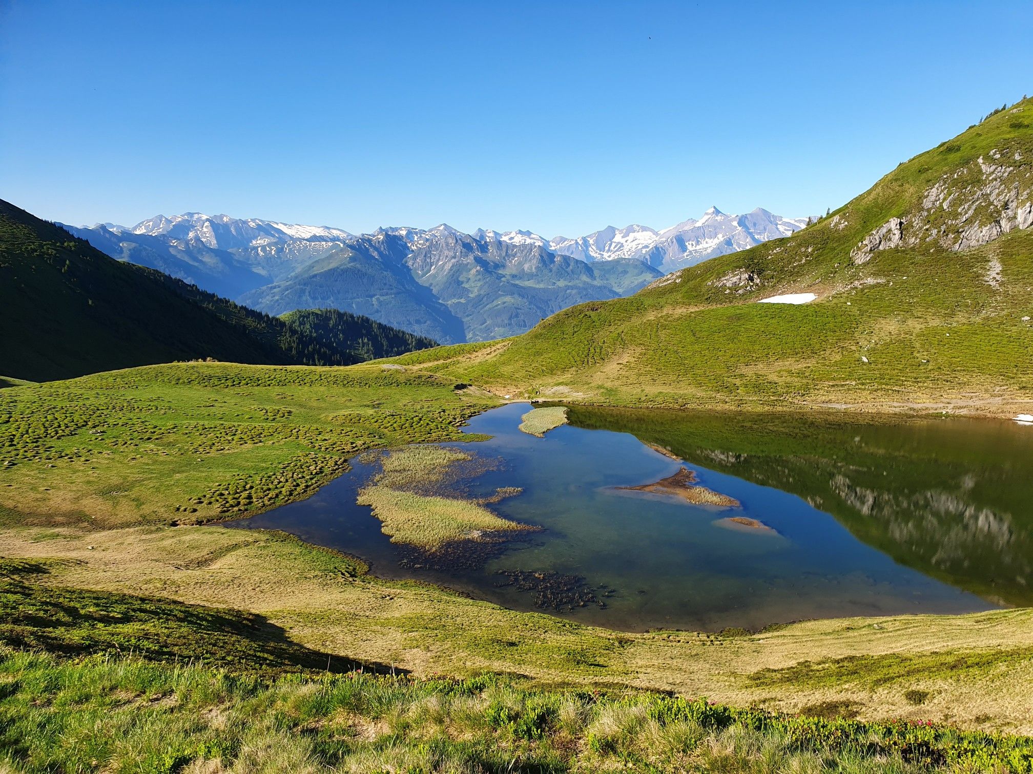
Hohe Tauern Panorama Trail – Face-to-face with 3000-metre peaks

Ruperti Trail – Hike from Austria's Bohemian Forest to the Carnic Alps
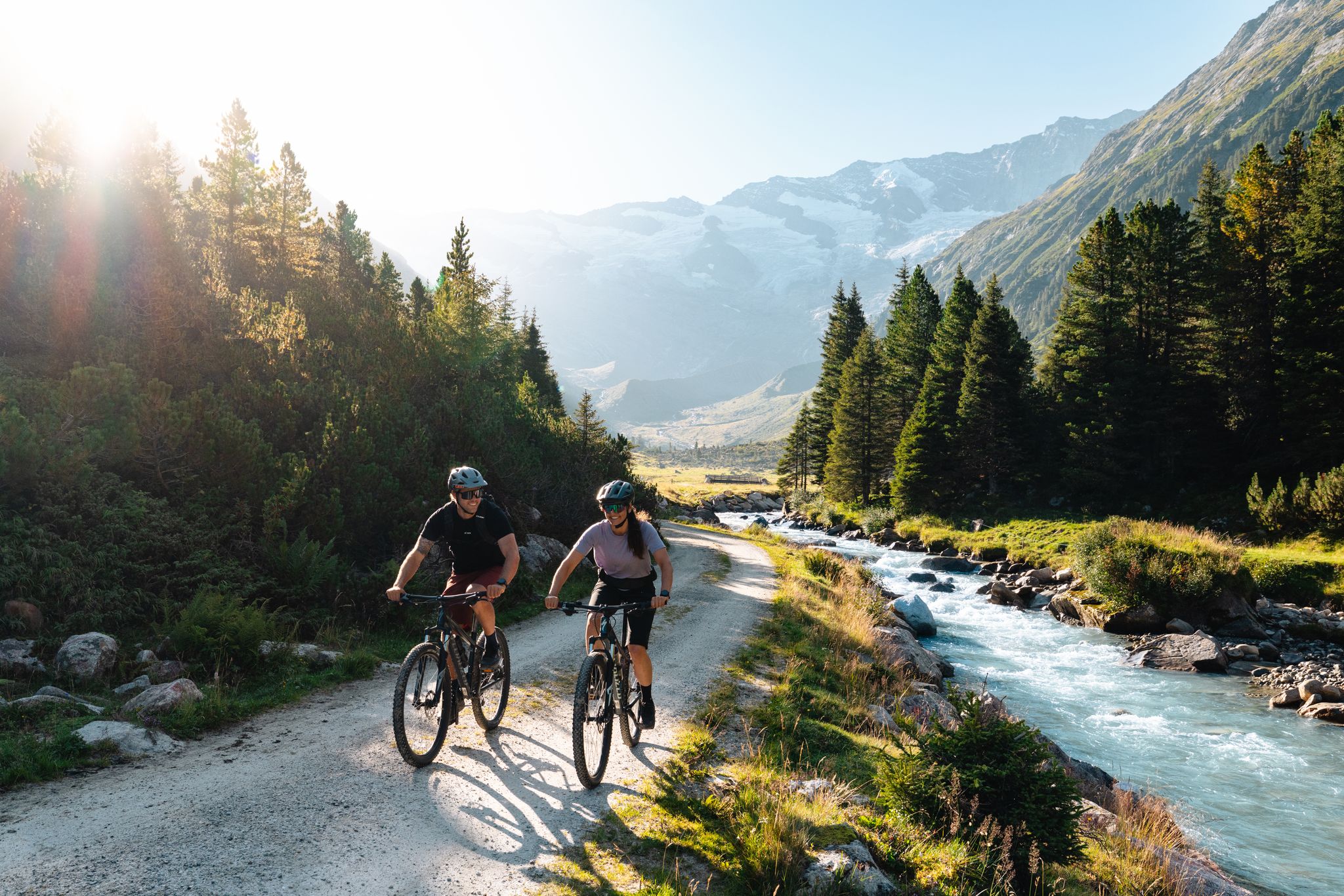
14 stages through the national park valleys – Hohe Tauern Bike Trail
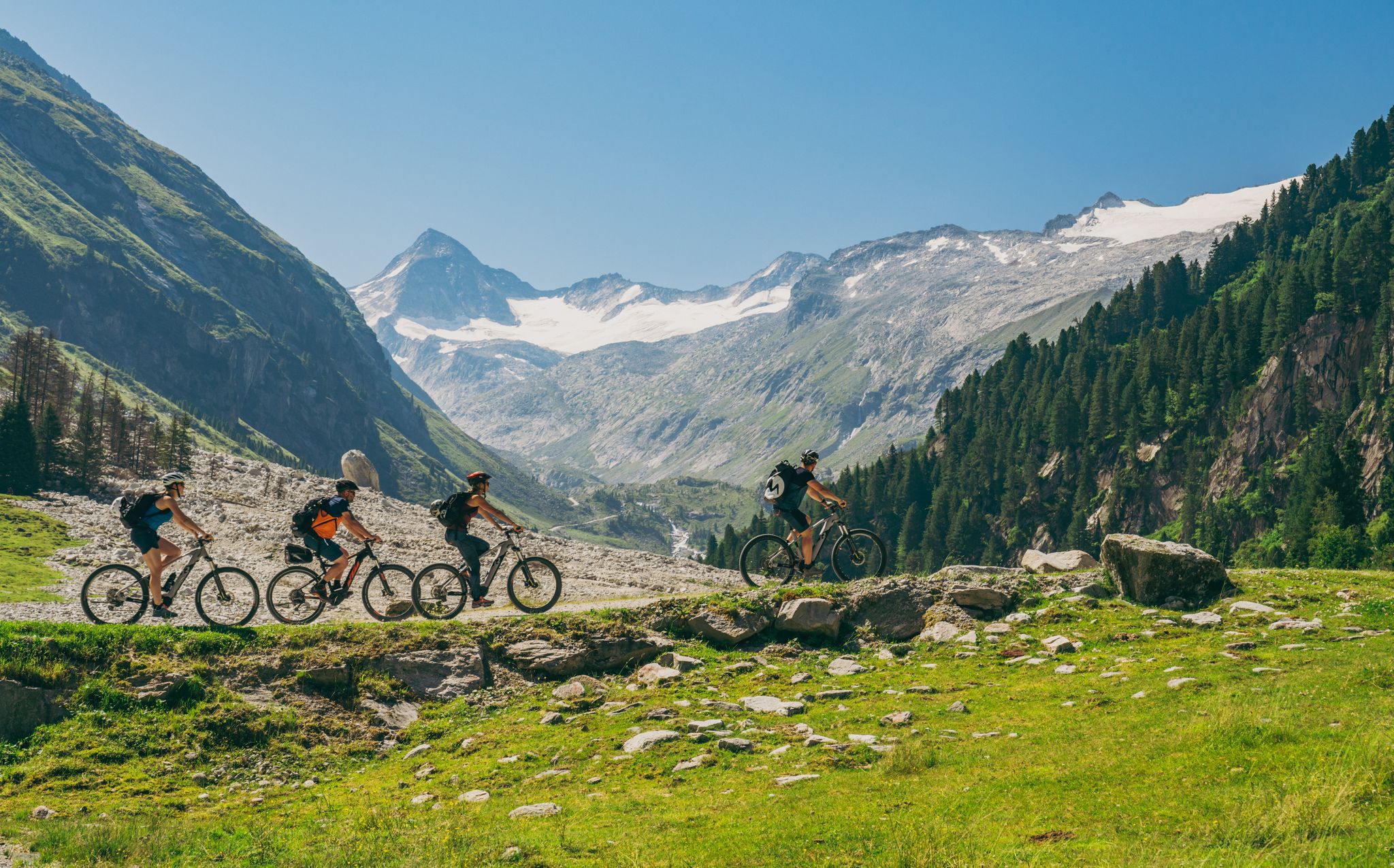
Ride to the alpine pastures in Austria's Hohe Tauern National Park Region
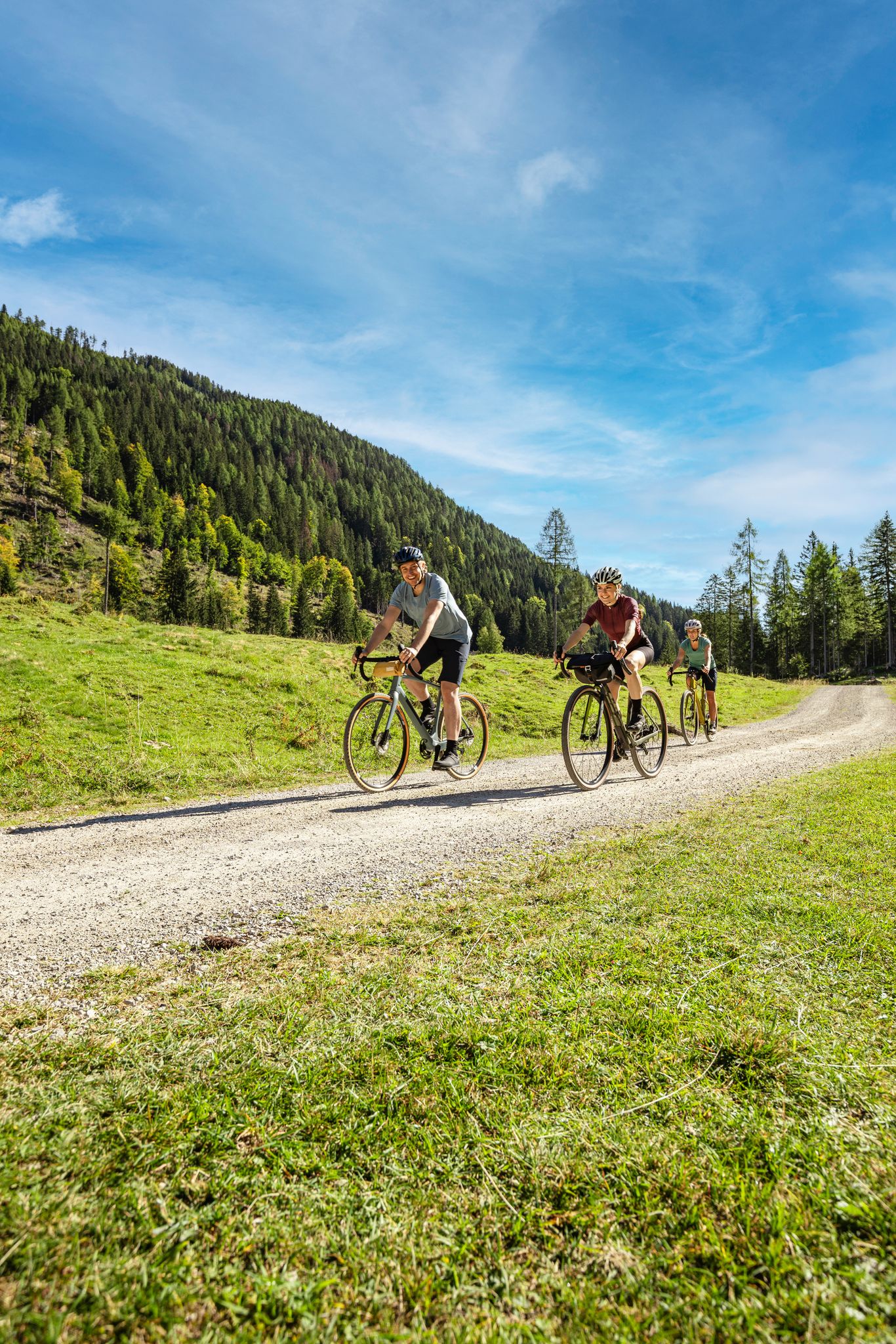
Lake Constance to Lake Neusiedl – explore Austria's federal states on gravel
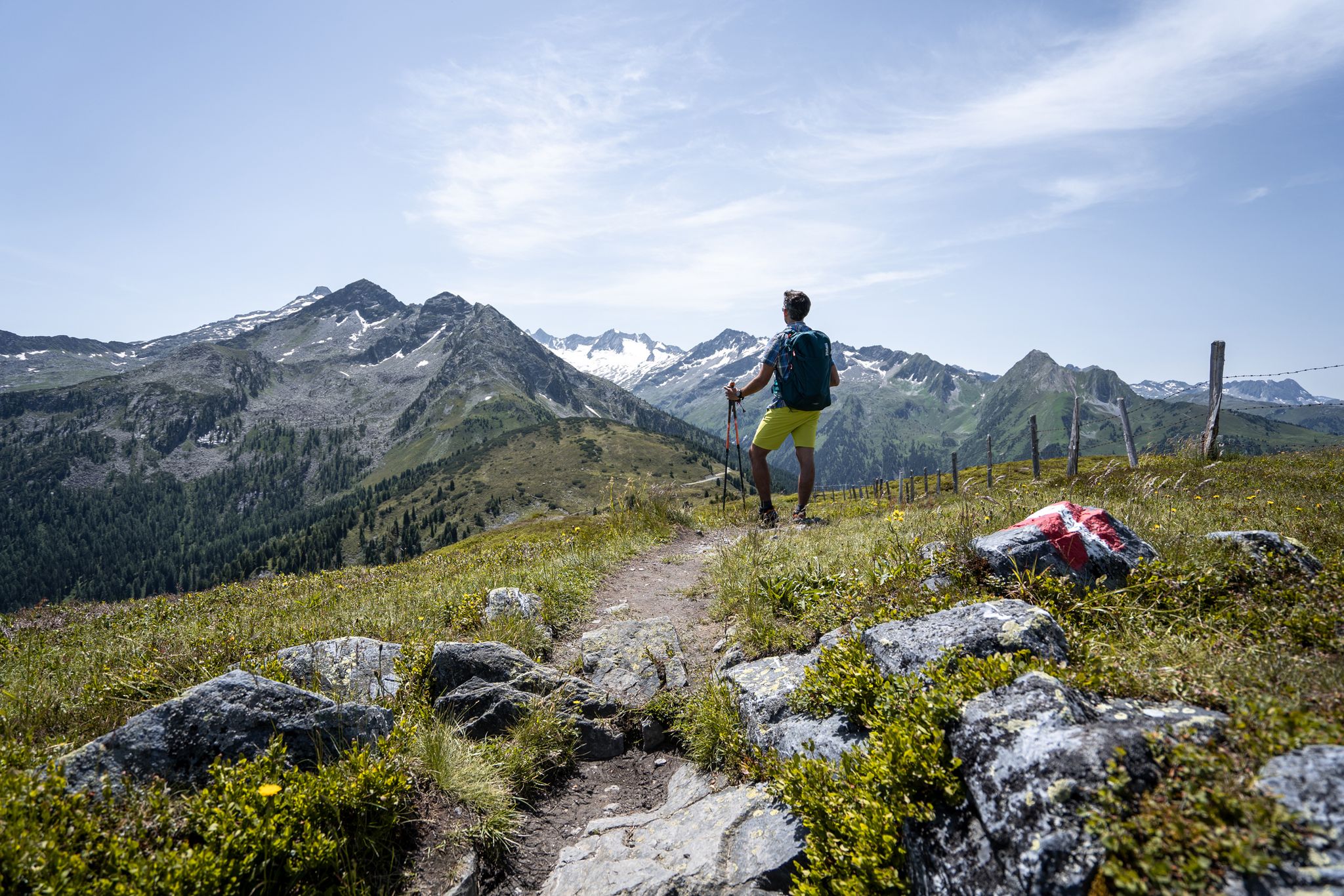
Best views of the highest mountains — Hohe Tauern Panorama Trail
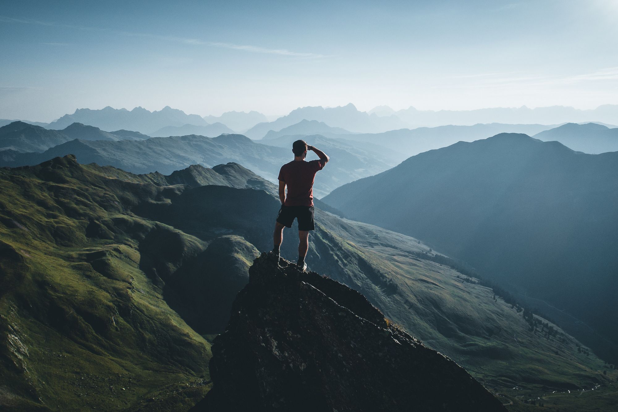
On a voyage of discovery in Austria’s High Tauern National Park
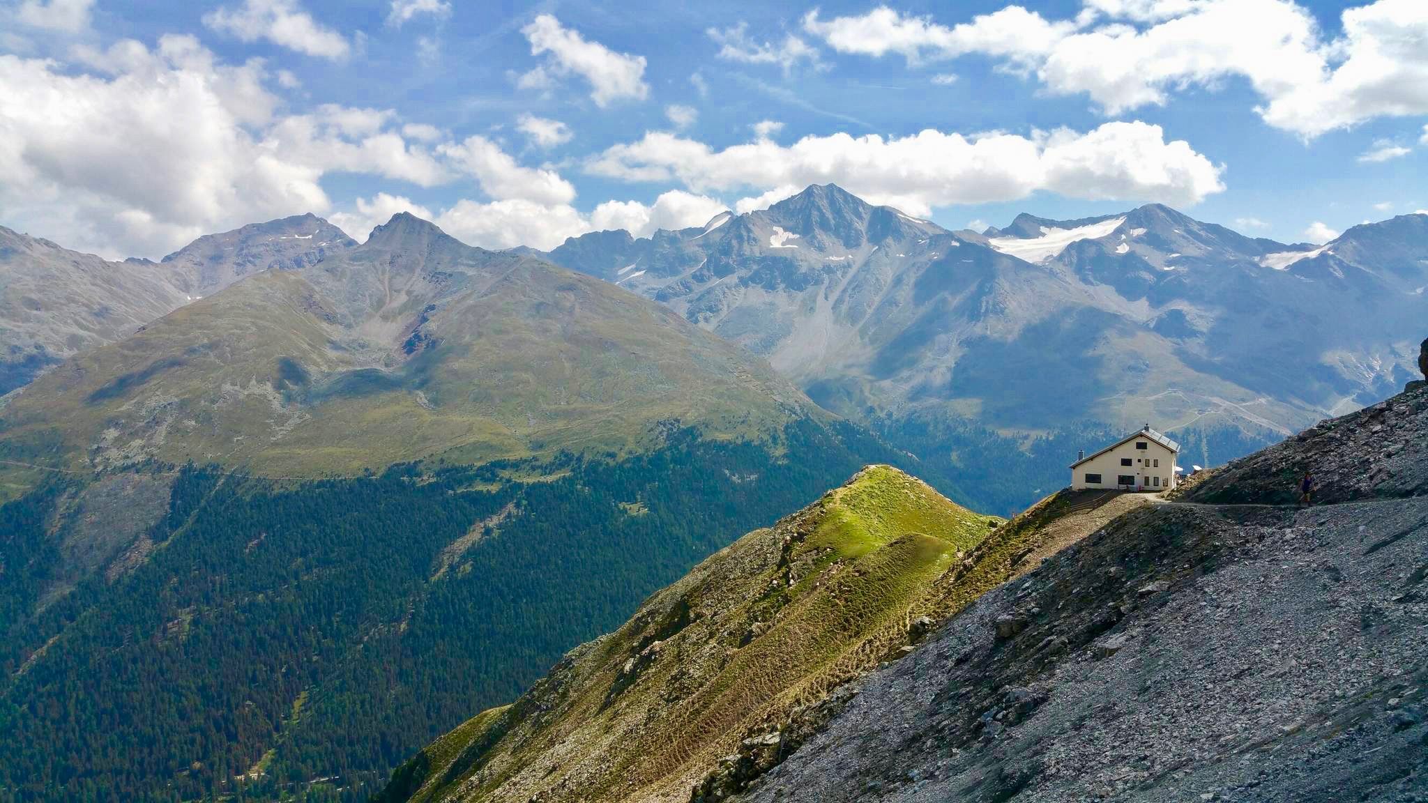
Huts with fantastic views
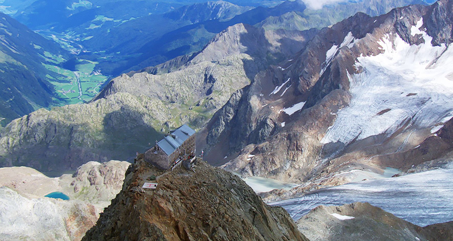
Sleep above 3000 meters
Other adventures around Rauris


Tips from the Community

Bad Gastein combines a glamorous character with morbid building substance, somehow interestingly combined. You can see that some buildings are being renovated, no comparison to 10-15 years ago.
3
0
Tosender waterfall, very impressive, and right in the middle of town.
3
0

The first 5.5 km from Bad Hofgastein Thermenzentrum go along the promenade on a nice and flat gravel path.
0
0

What a panorama and sense of accomplishment to have made it over the pass by bike.
1
0

Bad Gastein. It draws on the glory of years past. Nevertheless, it's still worth a bike ride today. The waterfall is loud but impressive, with a 341-meter drop over three stages. AND a cappuccino helps you regain your strength.
2
0

very good food and friendly service
0
0

Long and, at least in good weather, busy, but the view is breathtaking!
1
0

Frequently Asked Questions
What kind of gravel biking experience can I expect in Rauris?
Rauris offers a challenging gravel biking experience through alpine valleys and mountainous terrain. You'll encounter significant elevation changes, demanding climbs, and thrilling descents. The routes often traverse forested areas and open landscapes, providing stunning views of the surrounding peaks. Most of the 25 available routes are categorized as difficult, catering to experienced gravel bikers.
Are there any easy or beginner-friendly gravel bike trails in Rauris?
The gravel biking routes in Rauris are primarily designed for experienced riders, with most tours categorized as difficult. There are no routes specifically marked as easy. However, you might find a couple of moderate options among the 25 available tours, but they still involve substantial elevation.
What is the best time of year for gravel biking in Rauris?
The best time for gravel biking in Rauris is typically from late spring to early autumn (May to October), when the alpine passes are clear of snow and weather conditions are generally more stable. Always check local weather forecasts and trail conditions before heading out, especially in the shoulder seasons.
Are there any circular gravel bike routes in Rauris?
Yes, many of the gravel bike trails in Rauris are designed as loops. For example, you could try the challenging Magnificent view – Hochtor loop from Fusch an der Großglocknerstraße, which covers 45.8 km with over 2000 meters of elevation gain, or the extensive Old Großglockner Road – View of the Fuscher Törl loop from Heiligenblut, a 94.8 km route with over 3600 meters of climbing.
What kind of viewpoints can I expect along the gravel routes in Rauris?
The gravel routes in Rauris offer numerous panoramic viewpoints, showcasing the region's high alpine passes and scenic valleys. You'll often find yourself with expansive views of the surrounding peaks and lush landscapes. Routes like the View of Bad Hofgastein – Gadaunerer Hochalmen loop from Tauernbahn provide excellent valley vistas.
Are there any notable natural attractions or landmarks along the gravel bike trails?
Yes, several routes pass by impressive natural attractions. You might encounter the stunning Gastein Waterfall or the dramatic Kitzlochklamm Gorge. Other highlights in the broader Rauris area include the Kreuzkogel Summit and the Gadaunerer Gorge.
What do other gravel bikers say about the Rauris trails?
The gravel biking routes in Rauris are highly regarded by the komoot community, holding an average rating of 4.7 stars from over 48 reviews. Riders frequently praise the challenging nature of the trails, the significant elevation gains, and the rewarding panoramic views of the alpine landscape.
Are there any gravel bike routes that include waterfalls?
Yes, some routes offer views of waterfalls. For instance, the Gastein Waterfall – View of historic Bad Gastein loop from Bad Hofgastein is a challenging 32.9 km route that features the impressive Gastein Waterfall.
What should I wear for gravel biking in Rauris?
Given the mountainous terrain and significant elevation changes, it's advisable to dress in layers. Be prepared for varying temperatures, especially at higher altitudes, and potential changes in weather. Waterproof and windproof outer layers are recommended, along with appropriate cycling gear for challenging climbs and descents.
Is public transport available to access gravel trails in Rauris?
While specific public transport connections directly to trailheads can vary, Rauris and the surrounding Gastein Valley are generally well-served by regional bus lines and train stations (like Tauernbahn). It's best to check local transport schedules for the most convenient access points to your chosen gravel route.
Are there options for cafe stops or refreshments along the gravel routes?
Many alpine regions, including Rauris, feature traditional mountain huts (Almen) or guesthouses that offer refreshments and local cuisine. While not every route will have a dedicated cafe, planning your ride to pass by these establishments can provide welcome breaks. Always carry sufficient water and snacks, especially on longer, more remote routes.
Where can I find parking for gravel bike trails in Rauris?
Parking is generally available in the main towns and villages of the Rauris Valley and surrounding areas, often near trailheads or public facilities. Look for designated parking areas in places like Fusch an der Großglocknerstraße, Heiligenblut, or Bad Hofgastein, which serve as starting points for many routes.
Most popular attractions around Rauris

Get inspired with the komoot mobile app


Explore more
Browse the best Gravel rides in other regions.
