The best walks and hikes around Woltershausen
4.7
(954)
2,530
hikers
1,198
hikes
Hiking around Woltershausen offers diverse landscapes within the Hildesheim region of Niedersachsen, Germany. The area features a varied topography, including river floodplains, rolling hills, and expansive forests such as the Sackwald. The Leinebergland is a defining natural feature, providing scenic views and varied terrain for outdoor activities. This blend provides a range of hiking opportunities across different natural settings.
Best hiking trails around Woltershausen
- The most popular hiking route is Graster Knick – Bright Spring loop from Lamspringe, a…
Last updated: May 17, 2026
5.0
(5)
13
hikers
38.5km
10:33
520m
690m
Hard hike. Very good fitness required. Easily-accessible paths. Suitable for all skill levels.
4.5
(59)
142
hikers
Moderate hike. Good fitness required. Easily-accessible paths. Suitable for all skill levels.

Sign up for free
4.8
(21)
44
hikers
Moderate hike. Good fitness required. Easily-accessible paths. Suitable for all skill levels.
4.0
(4)
39
hikers
14.6km
04:04
280m
280m
Moderate hike. Good fitness required. Easily-accessible paths. Suitable for all skill levels.
4.4
(7)
19
hikers
7.54km
02:09
180m
180m
Moderate hike. Good fitness required. Easily-accessible paths. Suitable for all skill levels.
Get access to more routes and recommendations from other explorers.
Sign up for free
Already have an account?
Our route recommendations are based on thousands of hikes, rides, and runs completed by other people on komoot.
Start today with a free account
Your next adventure awaits.
Login or Signup
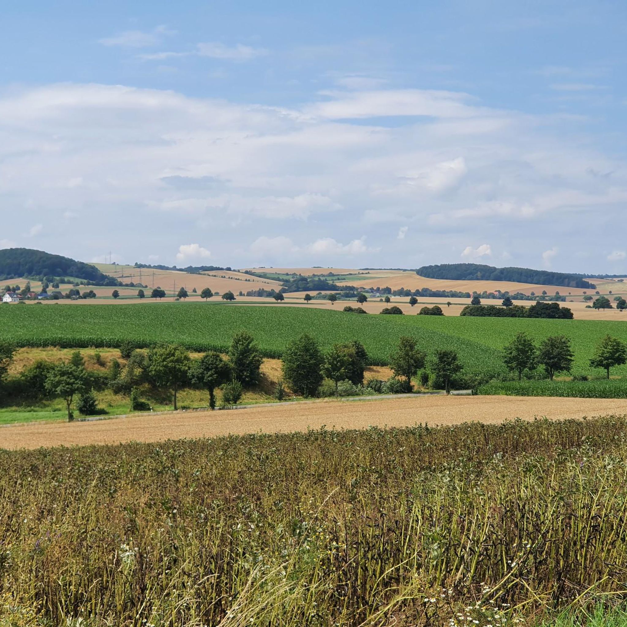
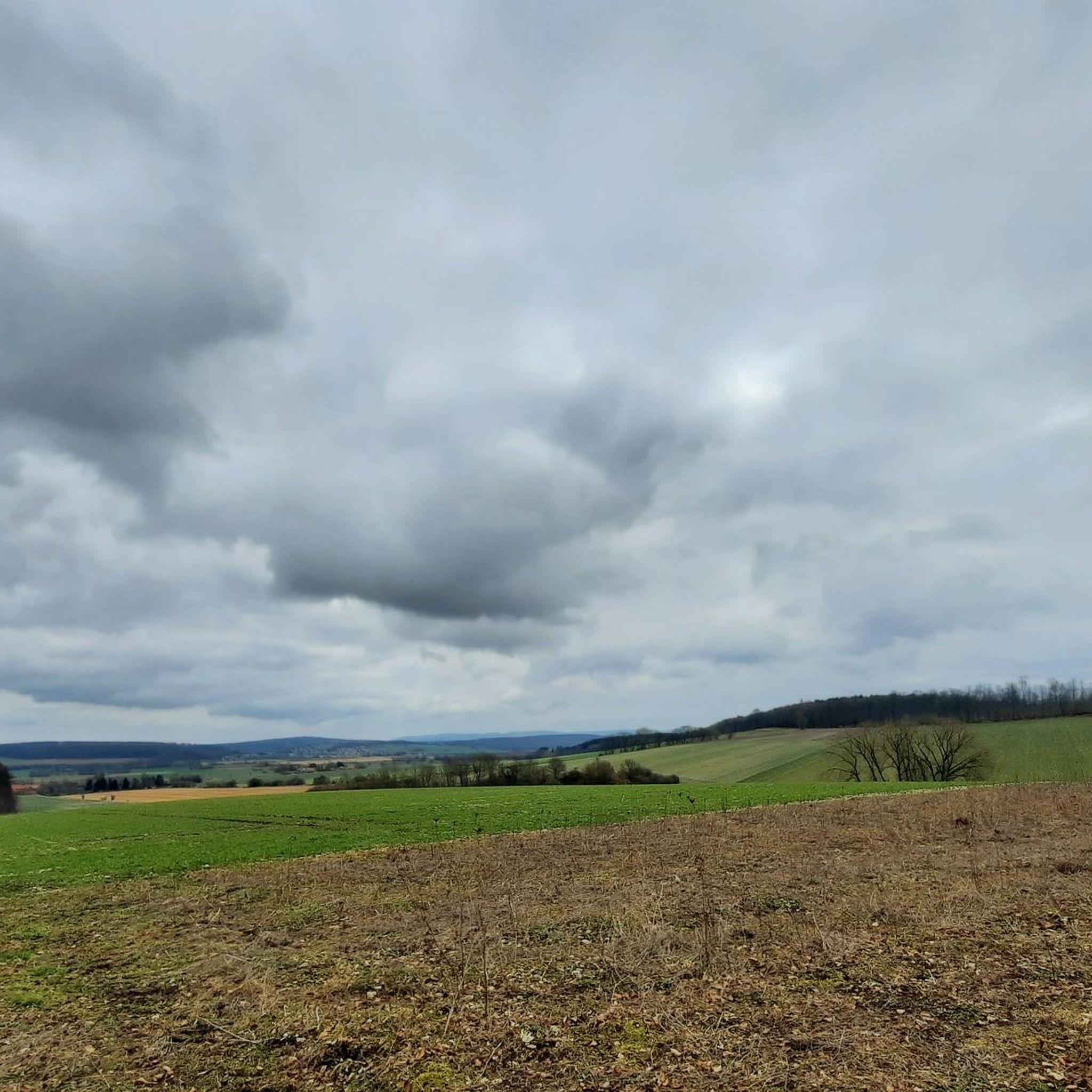
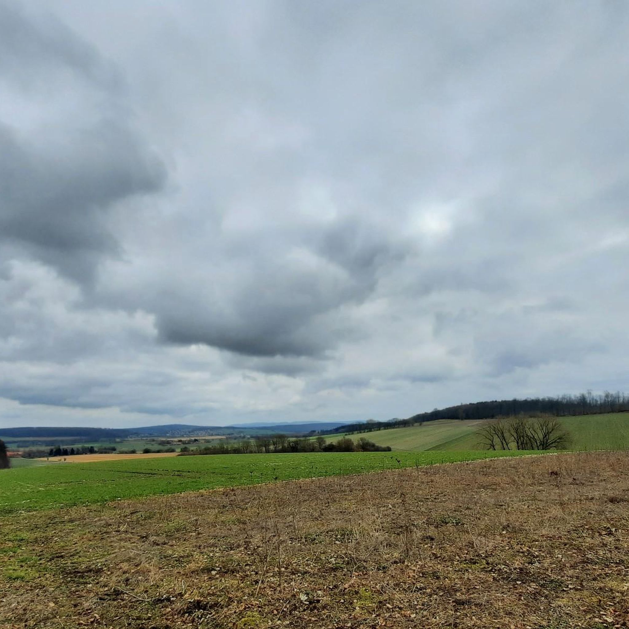
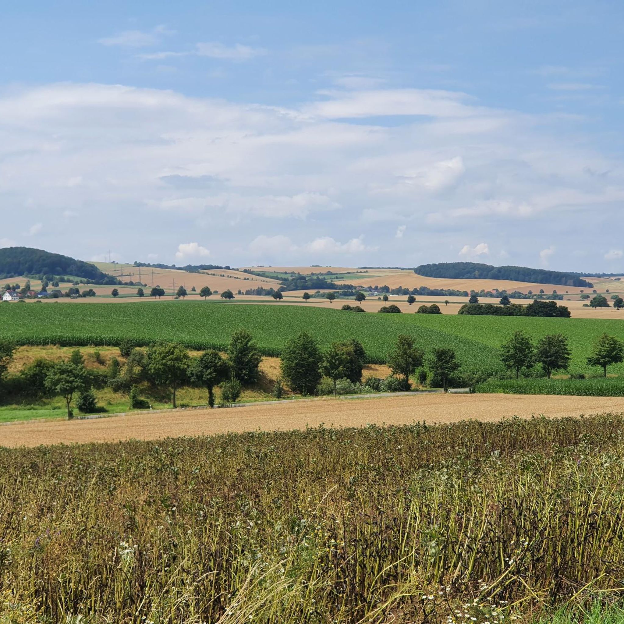
Tips from the Community

Now in spring, the fresh green is captivating.
0
0
Here you can take a short break.
0
0
Always a good starting point for a hike.
0
0
Good place for a coffee break.
2
0
A place steeped in history.
1
0
Always a good place to take a break. There's a logbook in the hut, which we of course signed 😉
0
0
Here you will find three small ponds and information about amphibians.
0
0
This corner is always beautiful.
1
0
Frequently Asked Questions
How many hiking trails are available around Woltershausen, and what are their difficulty levels?
There are over 20 hiking trails around Woltershausen, offering a mix of experiences. The majority, 14 routes, are classified as easy, while 10 routes are moderate. The region features rolling hills, forests, and river floodplains, providing varied terrain for all skill levels.
Are there any family-friendly hiking options in Woltershausen?
Yes, Woltershausen offers several family-friendly hiking options, particularly among its 14 easy routes. These trails typically feature gentle elevation changes and pleasant scenery suitable for all ages. For example, the Graster Knick – Bright Spring loop from Lamspringe is an easy 2.4-mile route that's great for a family outing.
What kind of natural features can I expect to see on hikes around Woltershausen?
Hikes around Woltershausen showcase the diverse landscapes of the Hildesheim region. You'll encounter gently rolling hills, expansive forests, and river floodplains. The Leine River, just 11.3 kilometers away, is a significant natural feature, and paths along its banks can be incorporated into longer routes. The area also hints at more challenging, scenic opportunities with elevated views, such as those suggested by the '7 Mountains Bad' nearby.
Are there any circular hiking routes available in Woltershausen?
Yes, many of the trails around Woltershausen are designed as circular routes, allowing you to start and end at the same point. Examples include the Four-Country Corner – Graster Knick loop from Harbarnsen, which offers varied scenery through forests and open fields, and the Schnapps time – Waltershausen loop from Woltershausen, leading through local woodlands and countryside.
What do other hikers say about the trails in Woltershausen?
The hiking trails in Woltershausen are highly rated by the komoot community, with an average score of 4.7 stars from over 900 reviews. Hikers often praise the varied terrain, from quiet woodlands to open fields, and the well-maintained paths that make for enjoyable experiences. Over 2500 hikers have used komoot to explore the area's diverse landscapes.
Are there any interesting landmarks or attractions near the hiking trails?
Yes, there are several points of interest near the hiking trails. You might encounter the Leine bridge Wettensen or the scenic Green Tunnel. For panoramic views, consider visiting the Himmelberg Tower. Additionally, the Bike- and Outdoorpark Bad Salzdetfurth is nearby, indicating a strong outdoor recreation focus in the region.
Is it possible to reach hiking trailheads in Woltershausen using public transport?
While Woltershausen is well-suited for hiking, specific public transport connections directly to all trailheads can vary. It's advisable to check local bus schedules or regional transport options to Lamspringe or Harbarnsen, which are common starting points for some popular routes. For detailed planning, local transport websites are the best resource.
Are there any dog-friendly hiking trails in Woltershausen?
Many of the trails around Woltershausen are suitable for dogs, especially those that traverse forests and open countryside. As a general rule, dogs should be kept on a leash, particularly in nature reserves or near livestock. The varied terrain and natural settings provide a great environment for walks with your canine companion.
What is the best time of year to go hiking in Woltershausen?
The Hildesheim region, including Woltershausen, offers pleasant hiking experiences throughout much of the year. Spring and autumn provide mild temperatures and beautiful scenery with blooming flowers or vibrant fall foliage. Summer is also popular, though some trails might be more exposed to the sun. Winter hiking is possible, especially on the easier routes, but conditions can vary, so checking local weather is recommended.
Are there any places to eat or stay near the hiking trails in Woltershausen?
Woltershausen and the surrounding villages offer options for refreshments and accommodation. While specific cafes or pubs directly on every trailhead might be limited, you can find establishments in nearby towns like Lamspringe or Bad Salzdetfurth. The presence of the Waldbad Lamspringe (forest pool) within Woltershausen also suggests local amenities that could cater to hikers.
What is the typical elevation gain on hikes around Woltershausen?
Hikes around Woltershausen generally feature moderate elevation changes, aligning with the region's rolling hills. For example, the Graster Knick – Four-Country Corner loop from Lamspringe, a moderate 5.5-mile route, has an elevation gain of approximately 188 meters. Many easy routes have even gentler ascents, making them accessible for various fitness levels.
Most popular routes around Woltershausen
Most popular attractions around Woltershausen

Get inspired with the komoot mobile app


Explore more
Browse the best Hikes in other regions.
