The best road cycling routes around Winnerath
4.7
(129)
2,270
riders
116
rides
Road cycling routes around Winnerath are characterized by the varied terrain of the Eifel region, featuring river valleys, rolling hills, and forested sections. The landscape includes notable ascents, such as the Aremberg, and passes through areas with historical mining and tunnel infrastructure. This environment provides diverse road cycling experiences, from valley loops to challenging climbs.
Best road cycling routes around Winnerath
- The most popular road cycling route is Goldloch Mine near Insul – Insul Tunnel loop from Insul, a…
Last updated: October 5, 2026
24
riders
67.4km
03:22
1,000m
1,000m
Hard road ride. Very good fitness required. Some segments of this route may be unpaved and difficult to ride.
4.5
(8)
82
riders
Moderate road ride. Good fitness required. Mostly well-paved surfaces and easy to ride.

19
riders
50.7km
02:15
430m
430m
Moderate road ride. Good fitness required. Some segments of this route may be unpaved and difficult to ride.
5.0
(1)
18
riders
42.4km
02:14
790m
790m
Moderate road ride. Good fitness required. Some segments of this route may be unpaved and difficult to ride.
17
riders
65.6km
03:07
770m
770m
Moderate road ride. Good fitness required. Some segments of this route may be unpaved and difficult to ride.
Get access to more routes and recommendations from other explorers.
Already have an account?
Our route recommendations are based on thousands of hikes, rides, and runs completed by other people on komoot.
Start today with a free account
Your next adventure awaits.
Tips from the Community

The historical origins of the castle are obscure, which is due on the one hand to the fact that no excavations have been carried out so far, and on the other hand, a confusion with Blankenheim Castle in documentary mentions cannot be ruled out. A first mention in a deed of donation from 1272 is therefore considered controversial for this castle. Rather, a document from 1341 is regarded as the oldest source for the castle, in which Margrave Wilhelm I of Jülich transferred "sine nuwe burch Blankenheym" to Gerhard V of Blankenheim as an hereditary fief. From then on, the castle (predominantly as a fief) remained in the possession of the Lords of Blankenheim and was administered, among others, by Friedrich von Blankenheim. In 1470, after several changes of ownership and inheritance disputes, the County of Blankenheim passed to Count Dietrich III of Manderscheid, while the castle was transferred to the Lords of Mirbach in the meantime. In 1521, Dietrich von Mirbach described Neublankenheim Castle as "destroyed" and asked his liege lord, Count Johann von Manderscheid, for help with the reconstruction. In the following years, the castle (apparently, no secure source findings) was not rebuilt due to its secluded location and the resulting lack of strategic importance. Around 1770, Duke Karl Maria Raimund von Arenberg acquired surrounding lands and also the castle ruins, so that the estate passed to the Duchy of Arenberg. After the occupation of the left-bank territories of the Rhine in 1794 by French revolutionary troops, the possessions of the Duchy of Arenberg also passed to the French state due to the provisions of the Peace of Lunéville. Neublankenheim Castle was auctioned and was subsequently in private ownership. The current owner is the Vulkaneifel district (formerly Daun district). Source: Wikipedia
4
0

Beautiful cycle path along the Ahr
0
0

The picturesque row of historic half-timbered houses on the market square of Adenau is considered the town's landmark
1
0

Very beautiful old town with small alleys and quaint shops. There is a lot to discover here.
0
0

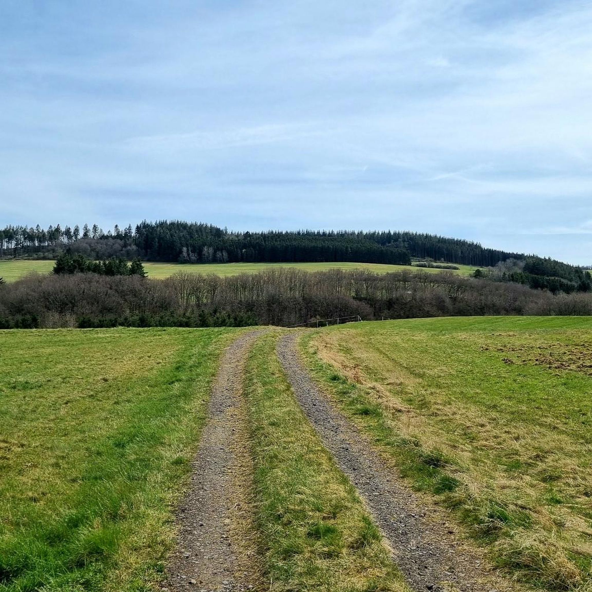
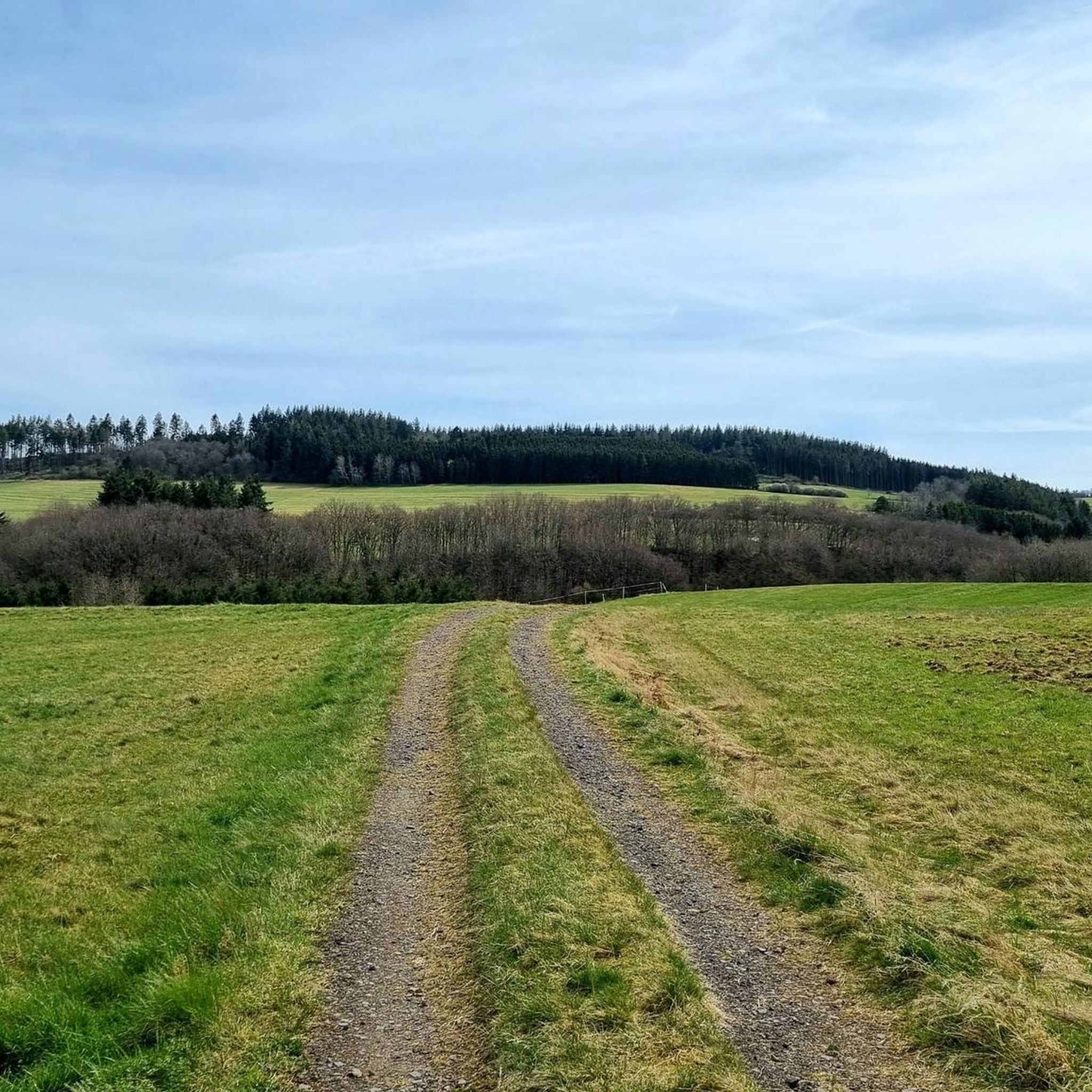
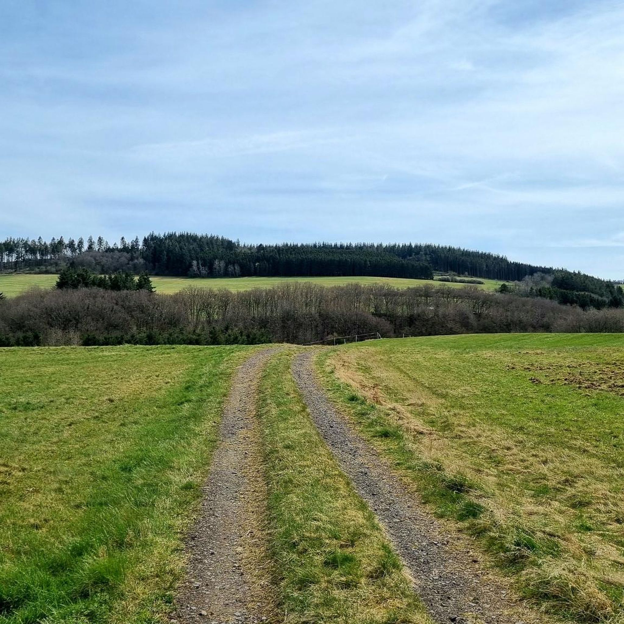
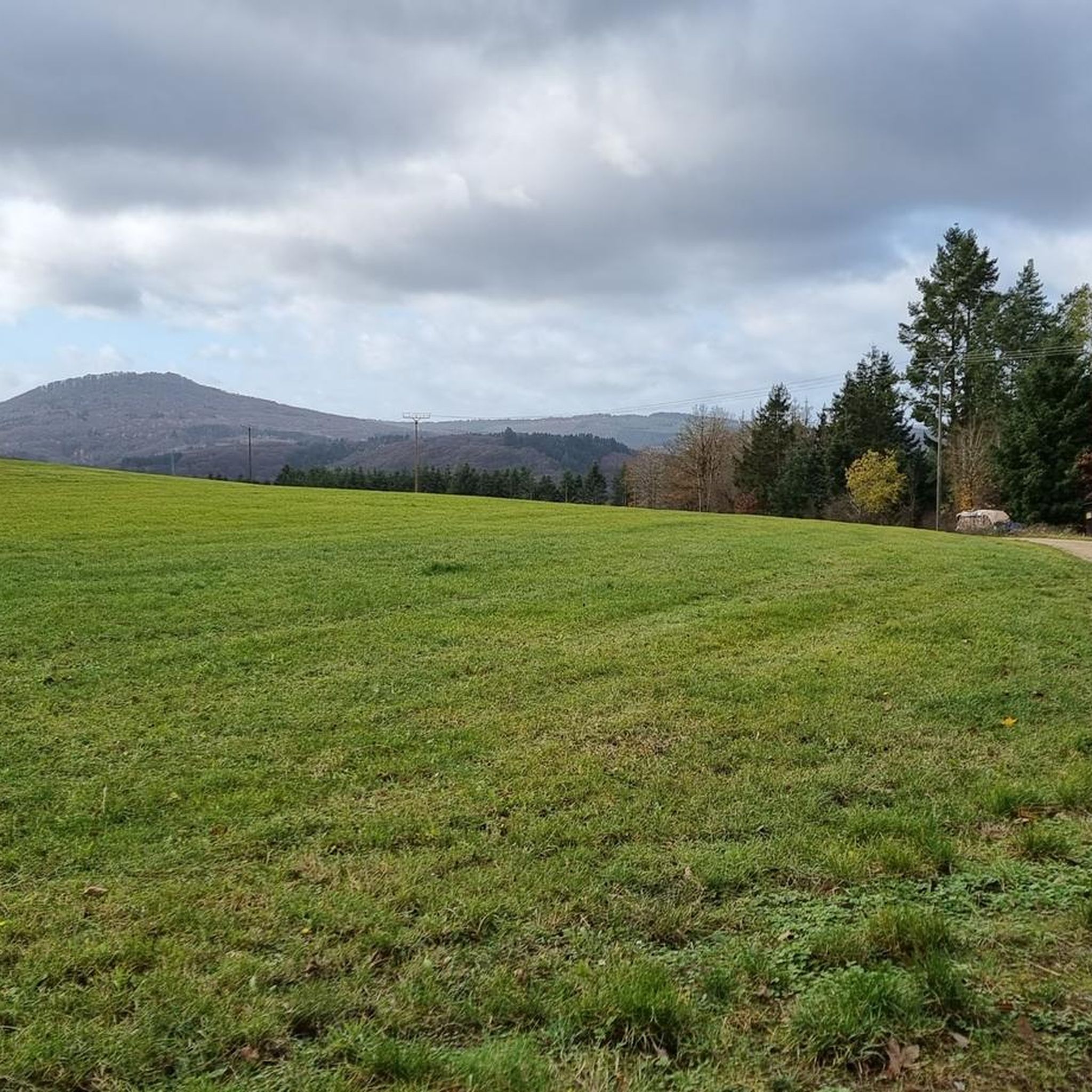
The scenery is very beautiful. A gravel bike is safer on the surface in autumn and when it's raining.
0
0

Nice change on the cycle path along the Ahr
0
0

Frequently Asked Questions
How many road cycling routes are available around Winnerath?
There are over 120 road cycling routes around Winnerath listed on komoot, offering a wide range of experiences for different skill levels. This includes 4 easy, 82 moderate, and 42 difficult routes.
What kind of terrain can I expect on road cycling routes in the Winnerath area?
The Winnerath area, part of the Eifel region, features varied terrain. You'll encounter river valleys, rolling hills, and forested sections. The landscape also includes notable ascents, such as the Aremberg, providing diverse cycling experiences from valley loops to challenging climbs.
Are there challenging road cycling routes with significant elevation gain?
Yes, the Winnerath area offers routes with substantial elevation gain. For instance, the Aremberg Ascent – 12% climb to Rodder loop from Adenau is a moderate 26.3-mile (42.4 km) trail that includes a challenging climb to the Aremberg.
What are some good options for moderate-difficulty road cycling routes?
Many routes in the area are of moderate difficulty. A popular choice is the Goldloch Mine near Insul – Insul Tunnel loop from Insul, a 24.2-mile (39.0 km) route exploring natural and historical features. Another is the Insul Tunnel – Ahr bridge at Ahrdorf station loop from Insul, which follows the Ahr river valley for 31.4 miles (50.5 km).
What do other road cyclists say about the routes in Winnerath?
The road cycling routes in Winnerath are highly rated by the komoot community, with an average score of 4.7 stars from over 100 reviews. More than 2,000 road cyclists have used komoot to explore the varied terrain, often praising the scenic beauty and diverse challenges.
Are there any historical or natural attractions along the road cycling routes?
Yes, the area is rich in historical mining and tunnel infrastructure, as well as natural features. You might encounter sites like the Goldloch Insul Mining Information Site or the Old Tunnel on the Sahrbachweg. Natural highlights include the Sahrbach Valley.
What is the typical distance for road cycling routes around Winnerath?
Route distances vary significantly. For example, the Adenauer Jong Statue – House Stein am Markt loop from Adenau is about 19.4 miles (31.2 km), while the Armuthsbach Valley – Watershed Bad Münstereifel loop from Schuld extends to about 34.4 miles (55.4 km).
When is the best time of year for road cycling in Winnerath?
The Eifel region, including Winnerath, is generally pleasant for road cycling from spring through autumn. Spring offers blooming landscapes, while summer provides warmer weather. Autumn brings beautiful foliage. Winter conditions can be challenging due to cold temperatures and potential ice or snow, especially on higher elevations.
Are there any routes that follow river valleys?
Yes, many routes incorporate the region's river valleys. The Insul Tunnel – Ahr bridge at Ahrdorf station loop from Insul, for example, follows the picturesque Ahr river valley, offering a scenic ride.
Can I find routes that pass through historical tunnels?
Absolutely. The area has historical mining and tunnel infrastructure. The Goldloch Mine near Insul – Insul Tunnel loop from Insul and the Insul Tunnel – Ahr bridge at Ahrdorf station loop from Insul both feature the Insul Tunnel, providing a unique historical element to your ride.
Are there any specific viewpoints or scenic spots recommended for road cyclists?
While specific viewpoints are not detailed for every route, the Eifel region is known for its scenic beauty. Routes often traverse rolling hills and forested areas, offering panoramic views. The ascents, such as the Aremberg, typically provide rewarding vistas of the surrounding landscape.
Most popular attractions around Winnerath

Get inspired with the komoot mobile app


Explore more
Browse the best Road cycling routes in other regions.
