The best walks and hikes around Winnerath
4.6
(785)
2,903
hikers
17
hikes
Hiking around Winnerath offers diverse outdoor experiences within the Eifel region of Rhineland-Palatinate, Germany. The area is characterized by its volcanic past, featuring distinct hills, expansive mixed forests, and panoramic viewpoints. Hikers can expect varied terrain, from gentle paths to routes with significant elevation changes, providing views of the Eifel heights and distant ridges. This landscape includes ancient volcanic formations and lush woodlands, making it suitable for various levels of outdoor enthusiasts.
Best hiking trails around Winnerath
- The most popular…
Last updated: October 1, 2026
4.6
(31)
100
hikers
Hard hike. Very good fitness required. Sure-footedness, sturdy shoes and alpine experience required.
4.8
(28)
87
hikers
6.79km
01:53
130m
130m
Easy hike. Great for any fitness level. Easily-accessible paths. Suitable for all skill levels.

4.6
(15)
55
hikers
6.97km
01:58
150m
150m
Easy hike. Great for any fitness level. Easily-accessible paths. Suitable for all skill levels.
4.3
(4)
20
hikers
3.78km
01:05
90m
90m
Easy hike. Great for any fitness level. Easily-accessible paths. Suitable for all skill levels.
5.0
(3)
17
hikers
5.87km
01:40
130m
130m
Easy hike. Great for any fitness level. Easily-accessible paths. Suitable for all skill levels.
Get access to more routes and recommendations from other explorers.
Already have an account?
Our route recommendations are based on thousands of hikes, rides, and runs completed by other people on komoot.
Start today with a free account
Your next adventure awaits.
Tips from the Community

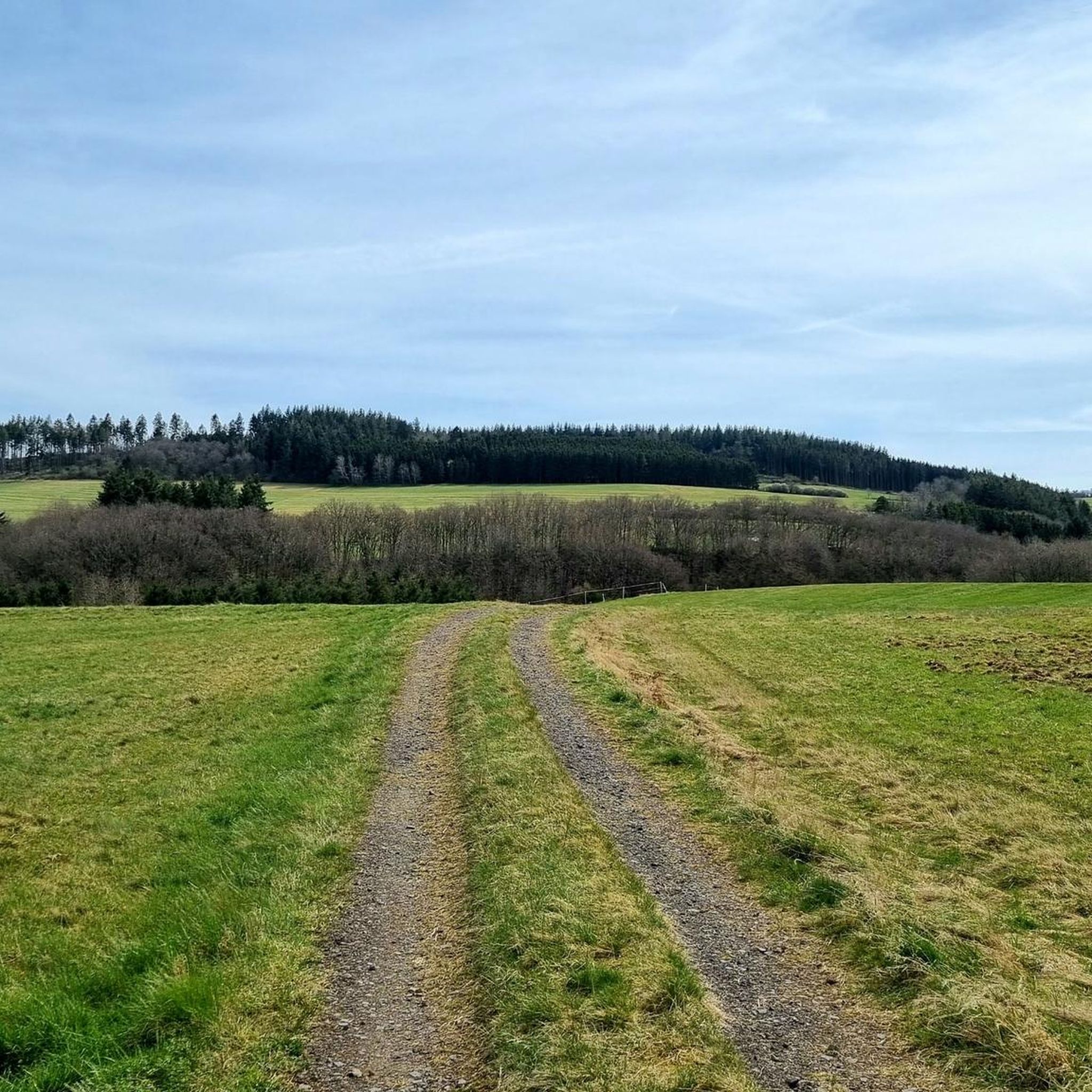
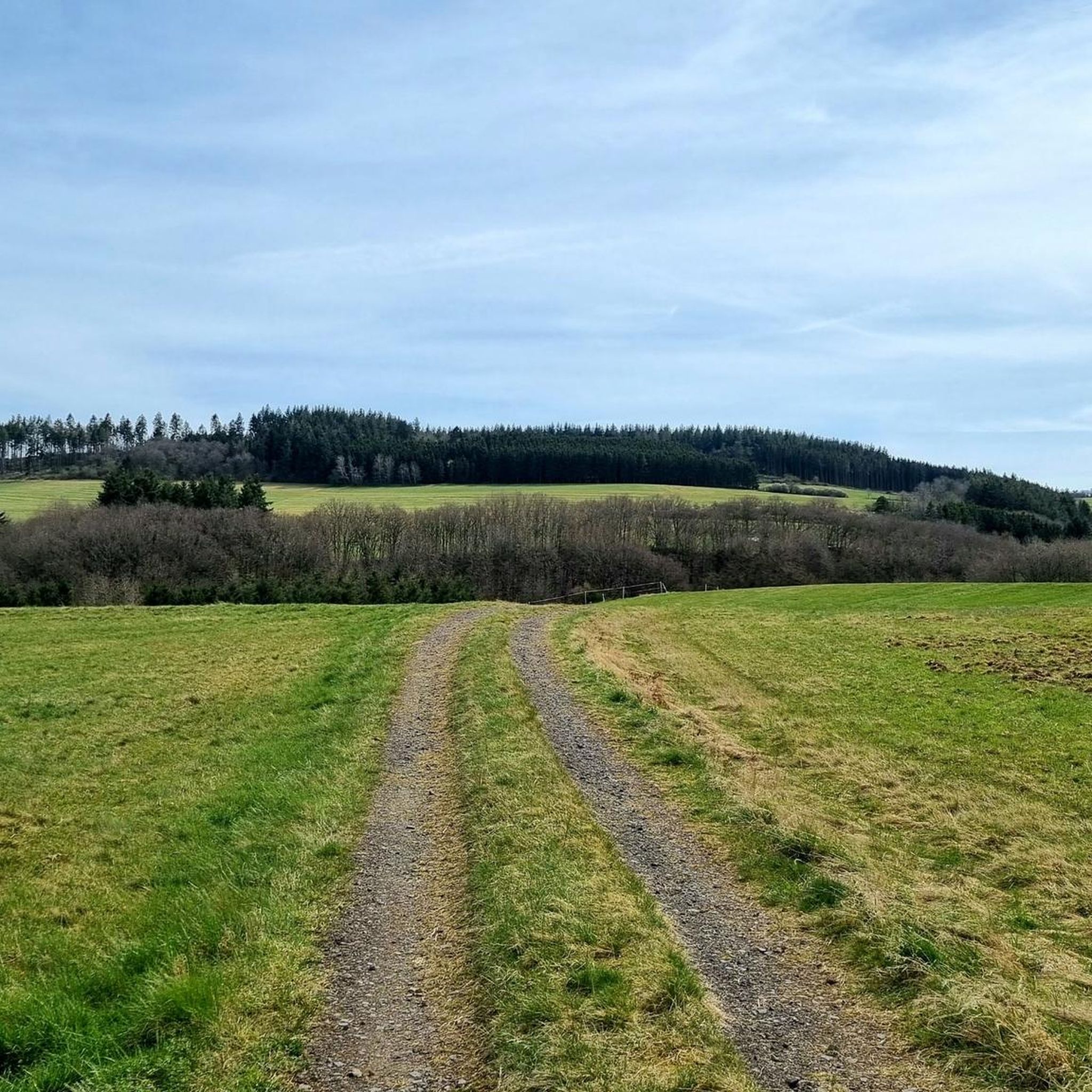
from here a short but beautiful trail leads down, but be careful when wet (roots) at the bottom turn left again, it goes up to the two small towers! (really fun with the EBike!!)
0
0

Nice tour and trade for practicing some altitude meters
0
0

A beautiful, relatively new metal resting set invites us to take a short break. The beautiful view comes free of charge.
2
0
Up here, there is a beautiful panoramic path that repeatedly offers us wonderful views of the surrounding Eifel hills.
2
0
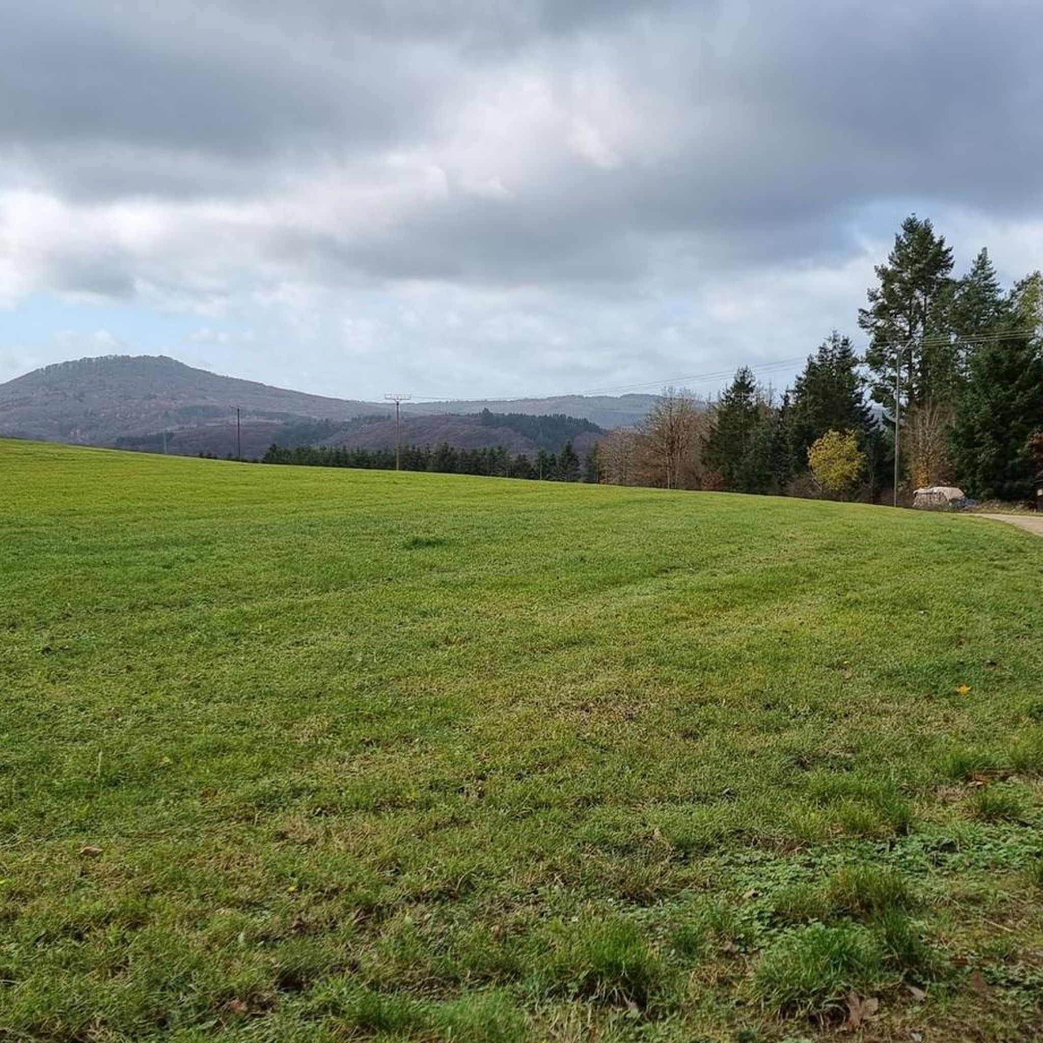
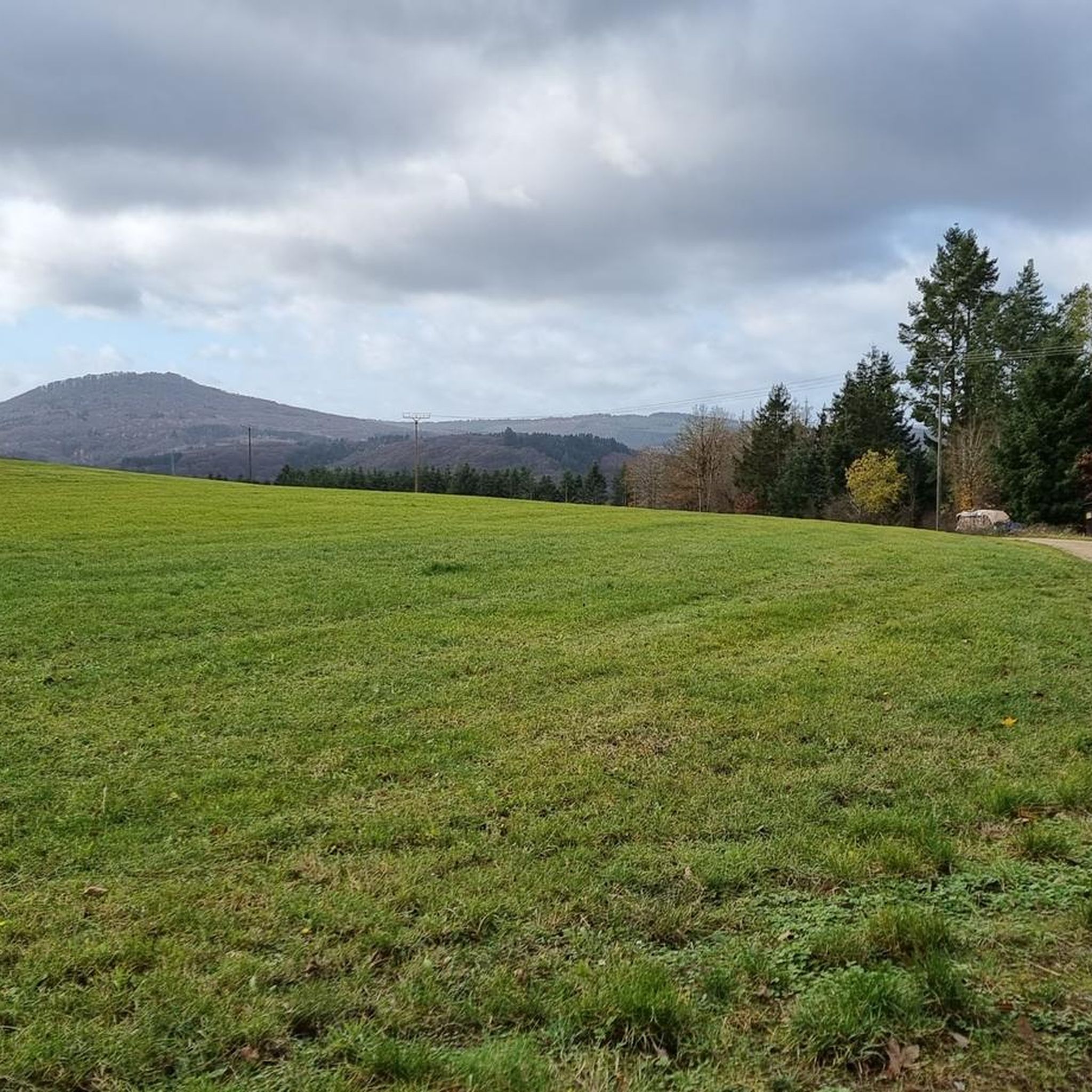
The two benches offer us a beautiful view of the surrounding heights of the Ahreifel.
2
0

One of the many great and, above all, clean rest areas, of course with corresponding panoramas.
39
0

At the "Goldloch" of a former mine, there are information boards about the mine and the Ahr flood in July 2021. The events and consequences are impressively presented here.
0
0
Narrow mountain and forest path below Spicher Ley. Surefootedness and sturdy footwear are essential.
1
0
Frequently Asked Questions
How many hiking trails are available around Winnerath?
Winnerath offers over 15 distinct hiking trails, ranging from easy strolls to more challenging routes, all set within the diverse Eifel landscape. These trails provide varied experiences, from gentle paths through forests to routes with significant elevation changes and panoramic views.
Are there easy hiking trails suitable for beginners in Winnerath?
Yes, Winnerath has several easy trails perfect for beginners or those looking for a relaxed walk. For example, the View of the Hürstnück Ridge – Scenic spots loop from Winnerath is an easy 4.2-mile (6.8 km) path with moderate elevation changes. Another accessible option is the View of Winnerrath – View of the Eifel Hills loop from Winnerath, which is 4.3 miles (7.0 km) long and leads through the Eifel Hills.
What kind of terrain can I expect on hikes around Winnerath?
The terrain around Winnerath is highly varied, reflecting the Eifel region's volcanic past. You can expect a mix of distinct hills, expansive mixed forests, and panoramic viewpoints. Trails range from gentle paths to routes with significant altitude changes, often featuring ancient volcanic formations and lush woodlands. Some routes may include sections with more challenging climbs.
Are there any circular walks available in Winnerath?
Yes, many of the trails around Winnerath are designed as circular walks, allowing you to start and end at the same point. Examples include the View of the Hürstnück Ridge – Scenic spots loop from Winnerath and the View of Winnerrath – View of the Eifel Hills loop from Winnerath. These loops are ideal for exploring the diverse landscapes without needing to retrace your steps.
What natural features or landmarks can I see while hiking near Winnerath?
Winnerath is surrounded by stunning natural features and landmarks. You can enjoy breathtaking panoramic views of the Eifel heights, especially from the outskirts of the village or the Winnerather Höhe. The wider Eifel region offers insights into its volcanic past with maars (crater lakes) and distinct conical mountain peaks. Nearby attractions include the St Michael's Chapel on the Michelsberg, the Teufelsley Quartzite Formation, and various viewpoints like the Peace Cross Hühnerberg.
Are there any hikes that offer views of the Nürburgring or Nürburg Castle?
Yes, given Winnerath's proximity to the Nürburgring, some trails offer views of the area. The View of Nürburg – View of the Hürstnück Ridge loop from Winnerath is a moderate 9.9-mile (16.0 km) hike that provides scenic vistas towards Nürburg and the Hürstnück Ridge, allowing you to appreciate the famous motorsport complex and historic castle from a distance.
Are the hiking trails around Winnerath suitable for families with children?
Many of the easier and shorter trails around Winnerath are suitable for families. Routes like the View of the Hürstnück Ridge – Scenic spots loop from Winnerath, at 4.2 miles (6.8 km), offer manageable distances and moderate elevation changes, making them enjoyable for children. The diverse landscapes and viewpoints provide engaging experiences for younger hikers.
Are dogs allowed on the hiking trails in Winnerath?
Generally, dogs are welcome on hiking trails in the Eifel region, including those around Winnerath. It's always recommended to keep dogs on a leash, especially in nature reserves, near wildlife, or when passing through agricultural areas. Please ensure you clean up after your pet to maintain the natural beauty of the trails.
What do other hikers enjoy most about hiking in Winnerath?
The hiking experiences in Winnerath are highly rated by the komoot community, with an average score of 4.6 stars from over 600 reviews. Hikers often praise the diverse volcanic landscapes, the expansive forests, and the numerous panoramic viewpoints that offer stunning vistas of the Eifel heights. The variety of trails catering to different ability levels is also frequently highlighted.
Are there any challenging hikes for experienced hikers in Winnerath?
Yes, Winnerath offers more challenging routes for experienced hikers. The Mountain trail over the Spicherley – Schorn Chapel, Schuld loop from Winnerath is a difficult 11.2-mile (18.1 km) trail that features significant climbs and panoramic views, requiring good physical condition and sure-footedness. This route provides a rewarding experience for those seeking a more strenuous adventure.
Where can I find parking for hiking trails in Winnerath?
While specific parking areas for each trail are not detailed, Winnerath is a small municipality, and parking is generally available within or on the outskirts of the village. Many routes, such as the Parking Area Rhein-Ahr-Eifel – Hürsnück loop from Winnerath, are designed to start and end near designated parking spots, making access convenient for hikers arriving by car.
What is the best time of year to go hiking in Winnerath?
The Eifel region, including Winnerath, is beautiful throughout much of the year. Spring brings blooming wildflowers and fresh greenery, while autumn offers vibrant fall foliage. Summer is ideal for longer days and warmer weather, though some trails might be more crowded. Winter hikes are also possible, offering a serene, snow-covered landscape, but require appropriate gear and caution on potentially icy paths.
Most popular routes around Winnerath
Most popular attractions around Winnerath

Get inspired with the komoot mobile app


Explore more
Browse the best Hikes in other regions.
