The best road cycling routes around Wilzenberg-Hußweiler
4.4
(100)
1,380
riders
156
rides
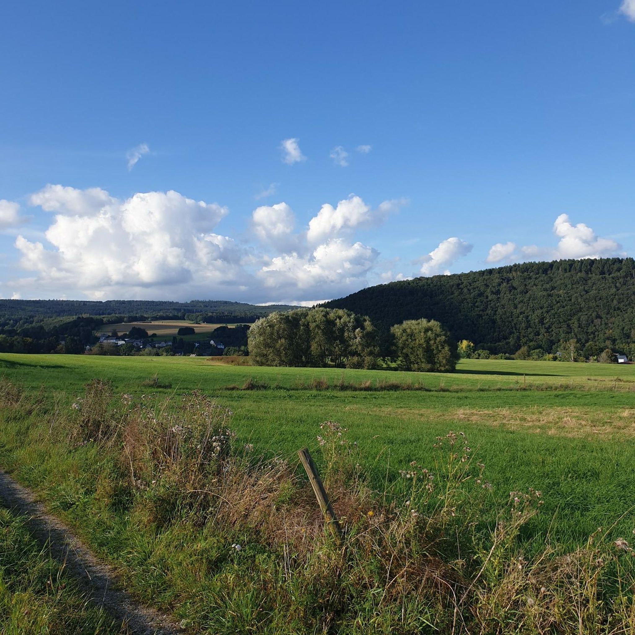
Road cycling routes around Wilzenberg-Hußweiler traverse a diverse landscape within the Birkenfeld district of Rhineland-Palatinate, Germany. The region is characterized by a significant proportion of wooded land, including the Schwarzwälder Hochwald (Hunsrück forest), and features a combination of hills and valleys. Cyclists can expect varied terrain, with routes often ascending to scenic Hunsrück heights and offering views over the Nahe region. The municipality itself sits at an altitude of around 350 meters above NHN, providing a foundation for rides with…
Last updated: October 6, 2026
5.0
(1)
30
riders
66.3km
03:08
650m
650m
Moderate road ride. Good fitness required. Mostly well-paved surfaces and easy to ride.
15
riders
50.8km
02:39
930m
940m
Hard road ride. Very good fitness required. Mostly well-paved surfaces and easy to ride.

5.0
(1)
17
riders
40.4km
01:48
420m
420m
Moderate road ride. Good fitness required. Mostly well-paved surfaces and easy to ride.
4.0
(1)
13
riders
57.7km
02:54
940m
940m
Hard road ride. Very good fitness required. Mostly well-paved surfaces and easy to ride.
14
riders
Moderate road ride. Good fitness required. Some segments of this route may be unpaved and difficult to ride.
Get access to more routes and recommendations from other explorers.
Already have an account?
Our route recommendations are based on thousands of hikes, rides, and runs completed by other people on komoot.
Start today with a free account
Your next adventure awaits.
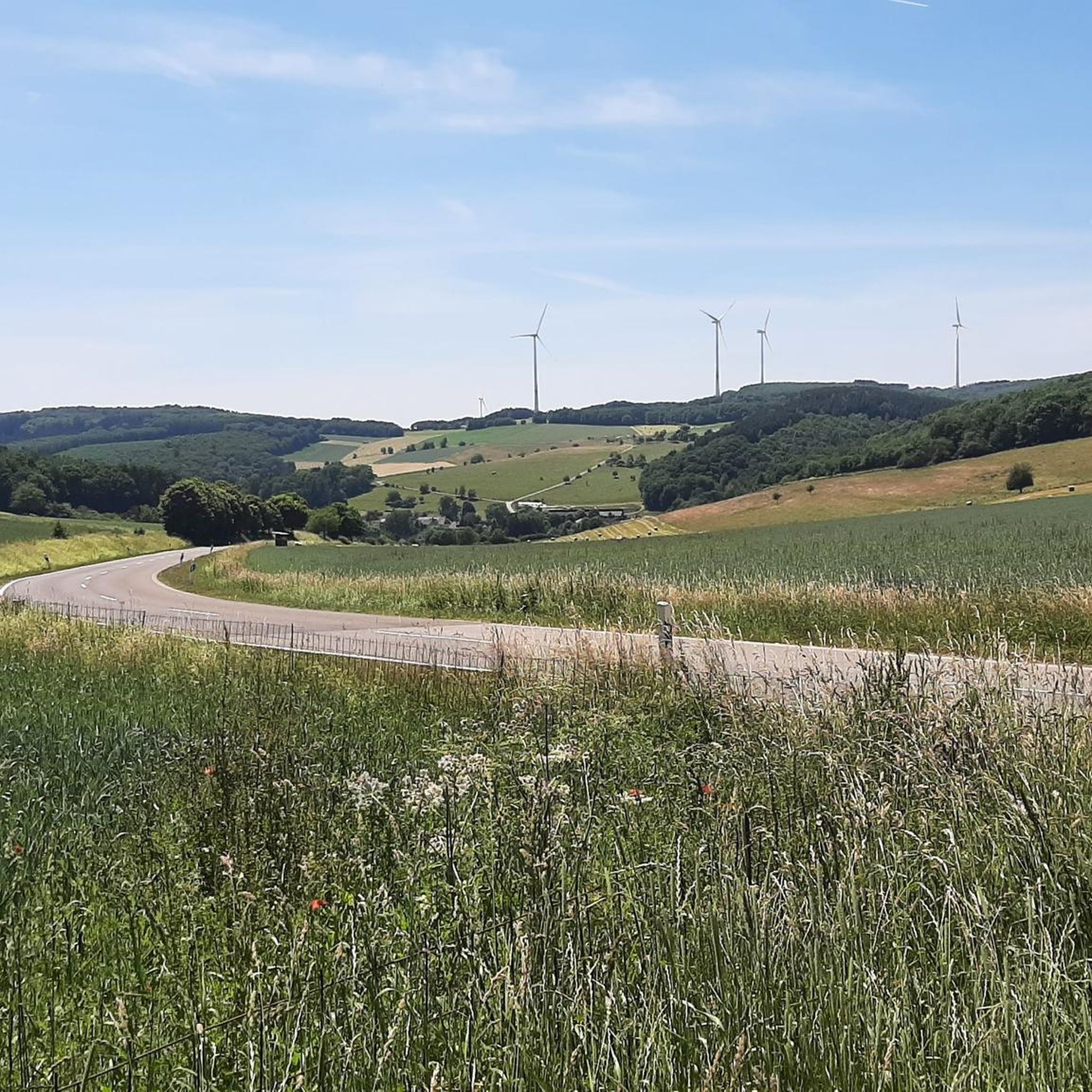
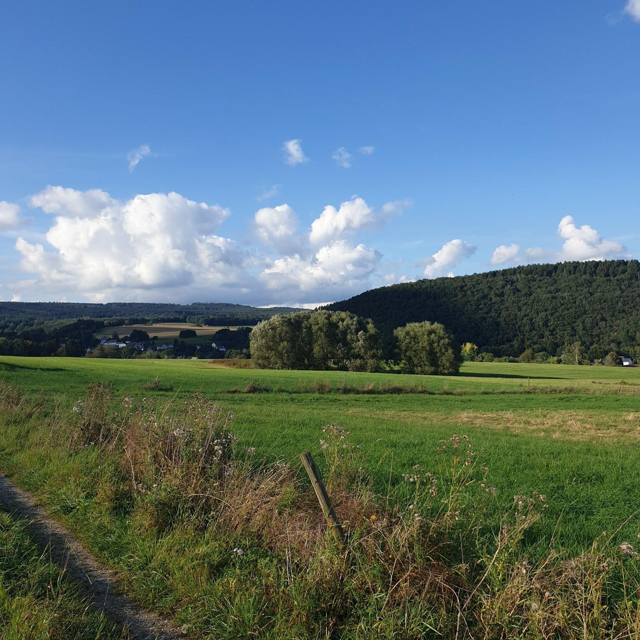
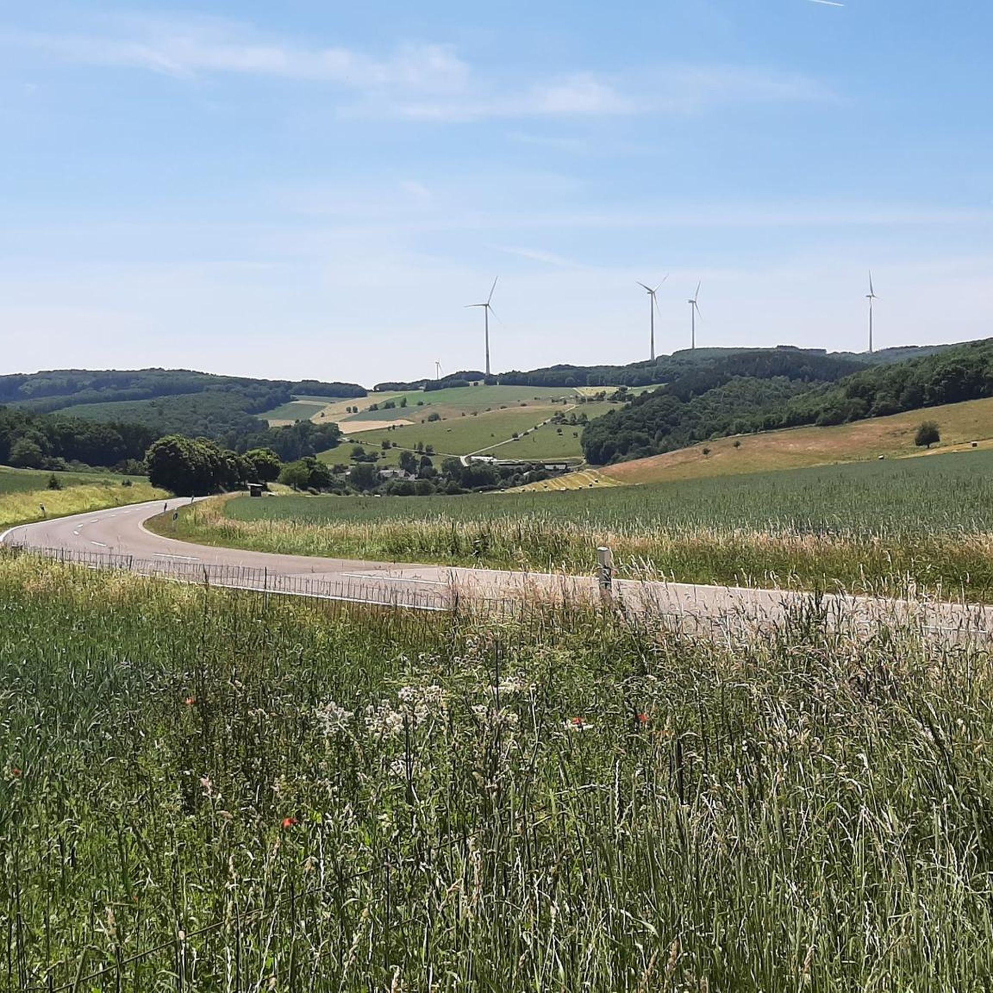
Tips from the Community

Nice to ride over, pure nature :-D
0
0
Beautiful trails invite you to bike
0
0
Simply straight ahead down the road
0
0
There are also demonstrations there of how it used to be ground
0
0
Exhibition, gastronomy, gemstone sales, beautiful place
0
0

This self-service shop has a machine where you can buy soft drinks, beer, and small food items like fruit yourself. I did not find a water tap here.
2
0
Great straight path, I prefer nature more, but it's totally OK
0
0
Frequently Asked Questions
How many road cycling routes can I find around Wilzenberg-Hußweiler?
There are over 160 road cycling routes available around Wilzenberg-Hußweiler on komoot, offering a wide range of options for different skill levels and preferences. This includes 8 easy, 84 moderate, and 73 difficult routes.
What kind of terrain and difficulty levels characterize road cycling around Wilzenberg-Hußweiler?
The region offers varied terrain, from rolling hills and river valleys to ascents into the Hunsrück heights, including parts of the Schwarzwälder Hochwald. You'll find a good mix of challenges, with routes ranging from moderate rides to more demanding climbs, ensuring options for all fitness levels.
Are there any notable landmarks or scenic viewpoints along the road cycling routes?
Yes, many routes offer scenic views and pass by interesting natural features. For instance, the Erbeskopf Cycle Path – View from Rinzenberger Höhe loop from Oberhambach provides panoramic views from Rinzenberger Höhe. You can also find highlights like the Erbeskopf (highest point in Rhineland-Palatinate) and the Wildenburg Observation Tower in the wider area, which offer excellent viewpoints.
What do other road cyclists enjoy most about road cycling in Wilzenberg-Hußweiler?
The road cycling routes around Wilzenberg-Hußweiler are highly rated by the komoot community, with an average score of 4.4 stars from over 90 reviews. Cyclists often praise the diverse landscape, which includes forested areas, rolling hills, and river valleys, providing both challenging climbs and picturesque scenery.
Are there any routes that offer views of the Nahe region?
Yes, several routes provide views over the Nahe region. The Nahe Bridge – Between Limbach and Heimweiler loop from Algenrodt is a popular moderate route that offers views of the Nahe Bridge and the surrounding countryside. Another option is the Schwollbach Scenic Route – Nahe Bridge With View of the Nahe River loop from Kirschweiler.
Can I find routes that pass by lakes or other water features?
While the primary focus of road cycling is often the open road, the region does feature several beautiful lakes. You might find routes that pass near or offer detours to places like Allenbacher Pond or the Lake at Ferienpark Hambachtal, which are popular highlights in the area.
What is the best time of year for road cycling in the Wilzenberg-Hußweiler area?
The Hunsrück region, including Wilzenberg-Hußweiler, is generally pleasant for road cycling from spring through autumn. The diverse landscape of forests, hills, and valleys offers beautiful scenery during these seasons, with autumn providing particularly vibrant colors.
Are there any long-distance road cycling options near Wilzenberg-Hußweiler?
Yes, the region offers several longer routes for endurance cyclists. For example, the Schwollbach Scenic Route – Nahe Bridge With View of the Nahe River loop from Kirschweiler covers over 73 km, providing a substantial ride through varied landscapes.
Are there any routes suitable for advanced road cyclists looking for climbs?
Absolutely. The Hunsrück region is known for its challenging ascents. Routes like the Saar-Hunsrück Nature Park – View from Rinzenberger Höhe loop from Leisel, with significant elevation gain, are classified as difficult and will test experienced riders with rewarding climbs and descents.
Where can I find cafes or restaurants along the road cycling routes in Wilzenberg-Hußweiler?
While specific cafes directly on every route are not listed, Wilzenberg-Hußweiler and nearby towns offer various options for refreshments. Planning your route with komoot allows you to discover points of interest, including cafes and restaurants, where you can take a break and refuel.
Is there public transport available to reach the cycling routes, and can I bring my bike?
Public transport options in the Hunsrück region can vary. While some local buses might allow bikes, it's advisable to check with the specific transport provider in advance regarding their bike carriage policies and schedules to ensure a smooth journey to your starting point.
What kind of natural features can I expect to see while cycling?
The area is rich in natural beauty, characterized by the extensive Schwarzwälder Hochwald (Hunsrück forest), rolling hills, and picturesque river valleys like the Schwollbach. You'll experience a mix of dense woodlands, open fields, and elevated sections offering wide views of the surrounding landscape.
Most popular routes around Wilzenberg-Hußweiler
Most popular attractions around Wilzenberg-Hußweiler

Get inspired with the komoot mobile app


Explore more
Browse the best Road cycling routes in other regions.
