The best walks and hikes around Wilzenberg-Hußweiler
4.5
(10425)
34,848
hikers
833
hikes
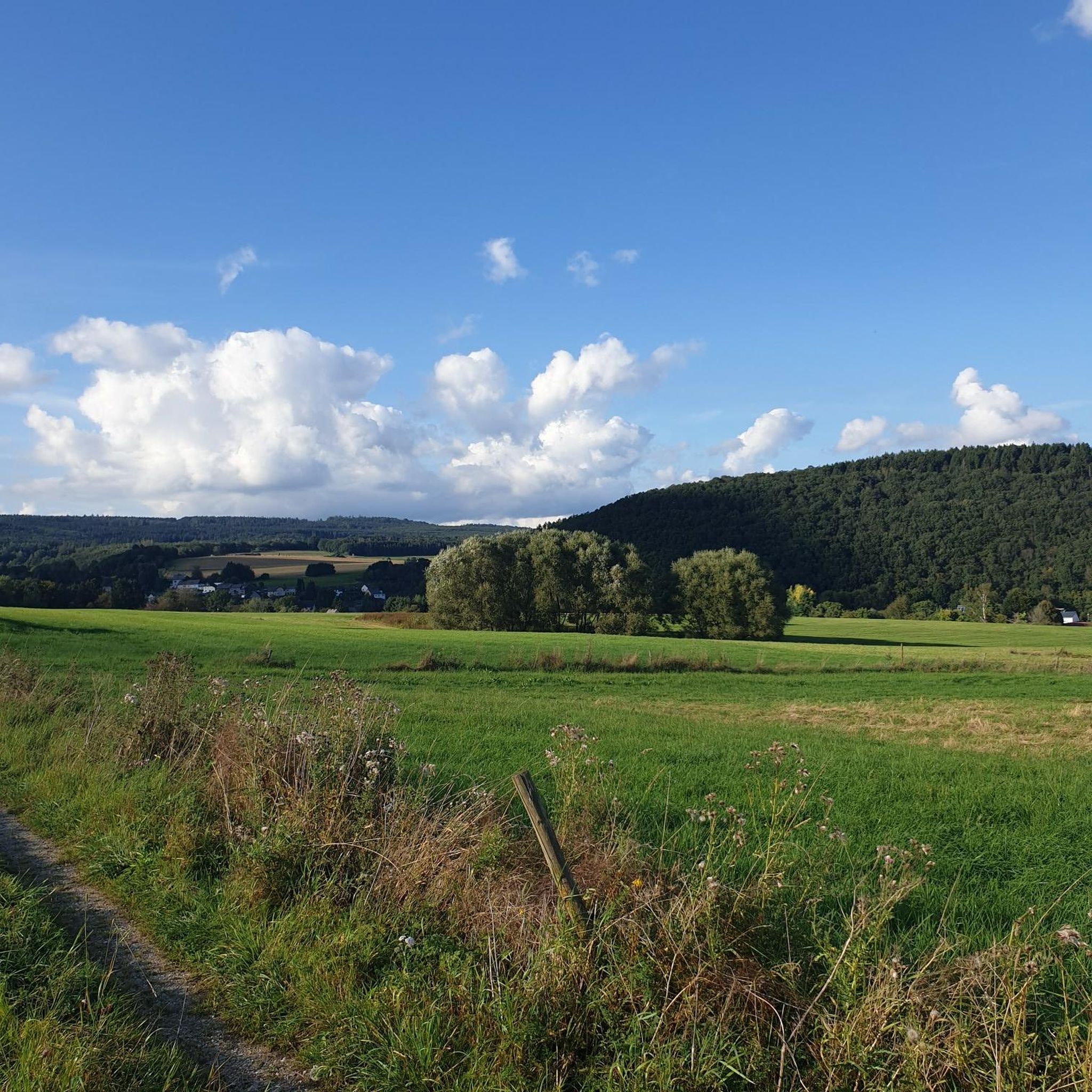
Hiking around Wilzenberg-Hußweiler offers diverse landscapes for outdoor activities. The region features a blend of forests, rolling hills, and valleys, providing varied terrain for exploration. The prominent Wilzenberg mountain, rising to over 650 meters, offers panoramic views and is a central feature. The area borders the Schwarzwälder Hochwald and parts of the Nationalpark Hunsrück-Hochwald, ensuring extensive woodlands and natural environments.
Best hiking trails around Wilzenberg-Hußweiler
- The most popular hiking route is Höhenblick Motorhome Parking Area – View of Niederbrombach loop…
Last updated: October 3, 2026
4.6
(25)
64
hikers
Moderate hike. Good fitness required. Easily-accessible paths. Suitable for all skill levels.
4.7
(10)
37
hikers
5.33km
01:34
150m
150m
Easy hike. Great for any fitness level. Easily-accessible paths. Suitable for all skill levels.

3.0
(2)
14
hikers
Moderate hike. Good fitness required. Easily-accessible paths. Suitable for all skill levels.
4.3
(3)
12
hikers
8.45km
02:27
220m
220m
Moderate hike. Good fitness required. Easily-accessible paths. Suitable for all skill levels.
5.0
(3)
9
hikers
9.95km
02:51
240m
240m
Moderate hike. Good fitness required. Easily-accessible paths. Suitable for all skill levels.
Get access to more routes and recommendations from other explorers.
Already have an account?
Our route recommendations are based on thousands of hikes, rides, and runs completed by other people on komoot.
Start today with a free account
Your next adventure awaits.
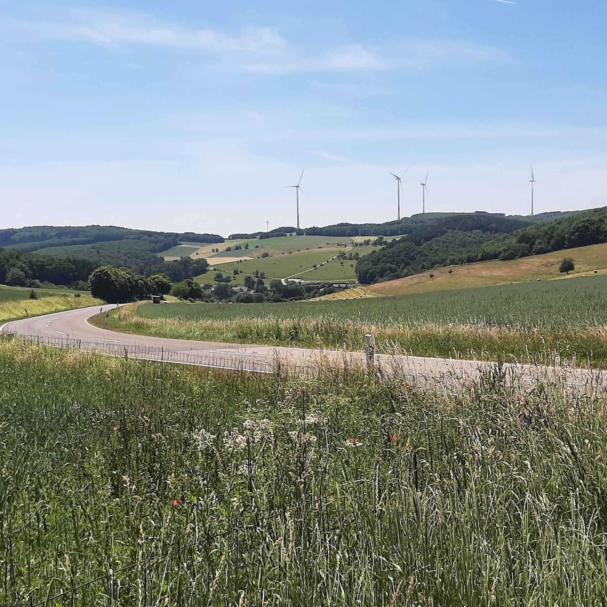
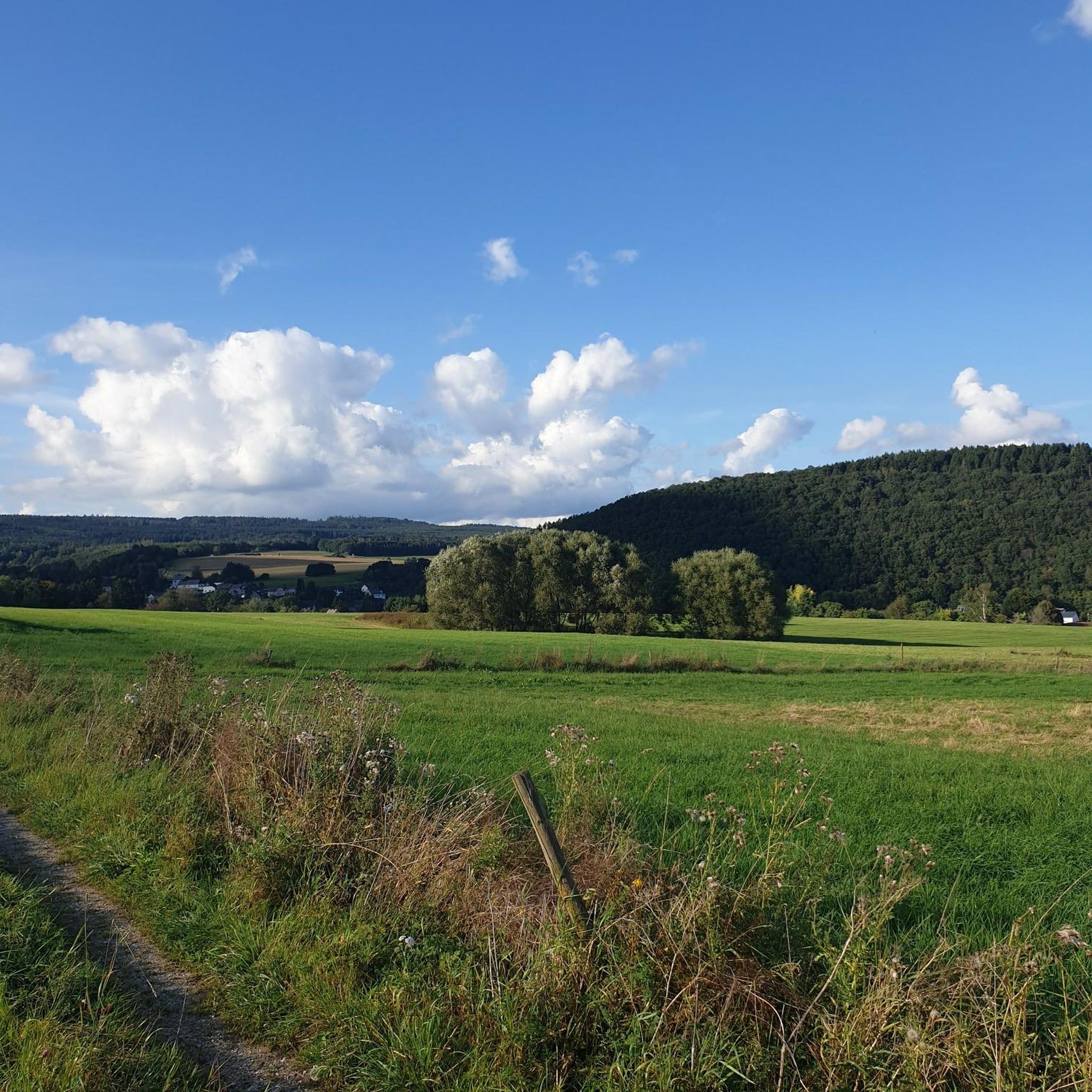
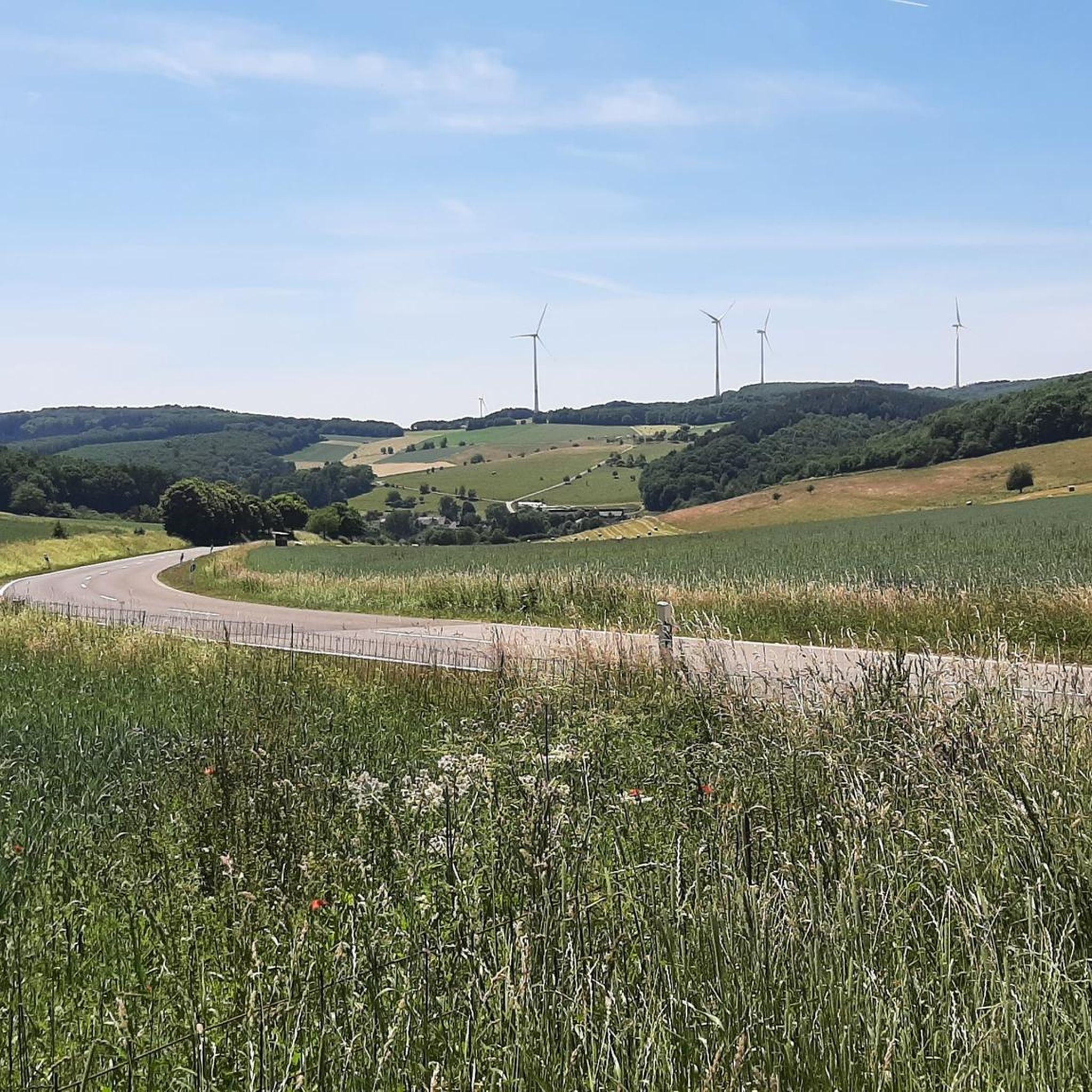
Tips from the Community

Beautifully secluded, perfect for quiet moments (when there's no football)
0
0
Also suitable as a start for the tour
0
0
Beautiful view into the Hunsrück
0
0
And suddenly it goes in all directions :D
0
0
Not every path may be ridden
1
0

View from Hichcastell to Niederbrombach
0
0
Frequently Asked Questions
How many hiking trails are available in Wilzenberg-Hußweiler?
There are over 840 hiking routes in Wilzenberg-Hußweiler, offering a wide variety of options for all skill levels. This includes more than 460 easy trails, 340 moderate routes, and 30 more challenging hikes.
What is the best time of year to go hiking in Wilzenberg-Hußweiler?
The optimal seasons for hiking in Wilzenberg-Hußweiler are spring and autumn. During these times, the natural beauty of the area, with its forests and rolling hills, is particularly vibrant and offers pleasant temperatures for exploration.
What natural features or landmarks can I expect to see while hiking in the region?
The region is rich in natural features. You can explore the prominent Wilzenberg mountain, which offers breathtaking panoramic views from its summit. The area also borders the Schwarzwälder Hochwald and parts of the Nationalpark Hunsrück-Hochwald, providing extensive woodlands. Hikers can also discover various natural monuments and expansive views over areas like the Rosselhalde and the Steinbachtalsperre valley, especially around the Kirschweiler Fortress.
Are there any historical sites or points of interest along the trails?
Yes, the Wilzenberg mountain itself holds historical significance with remnants of ancient rampart castles from the 2nd century BC and 9th-10th century AD, as well as a pilgrimage chapel built in 1633. Additionally, the summit features an observation tower (Wilzenbergturm) from 1891 and a prominent 28-meter-high summit cross. The broader region also includes historical attractions like the ruins of Alt-Wolfstein Castle and Oberstein Castle.
What do other hikers say about the trails in Wilzenberg-Hußweiler?
The hiking routes in Wilzenberg-Hußweiler are highly rated by the komoot community, with an average score of 4.5 stars from over 8,000 reviews. Hikers often praise the diverse landscapes, varied terrain, and the scenic distant views over the Nahe region.
Are there family-friendly hiking options in Wilzenberg-Hußweiler?
Yes, there are many accessible options suitable for various skill levels, including families. An easy path like the View of Niederbrombach – Oberbrombach Pond loop from Niederbrombach, which is 3.3 miles (5.3 km) long, combines asphalt paths with forest sections and is suitable for a relaxed family outing.
Can I bring my dog on the hiking trails in Wilzenberg-Hußweiler?
Most hiking trails in Wilzenberg-Hußweiler are dog-friendly, allowing you to enjoy the diverse landscapes with your canine companion. It's always recommended to keep dogs on a leash, especially in nature reserves or near wildlife, and to respect local signage.
Are there circular hiking routes available in the area?
Many of the routes in Wilzenberg-Hußweiler are designed as circular walks, allowing you to start and end at the same point. For example, the Höhenblick Motorhome Parking Area – View of Niederbrombach loop from Niederbrombach is a popular 4.5-mile (7.2 km) loop offering varied terrain and scenic views.
What kind of terrain can I expect on the trails around Wilzenberg-Hußweiler?
The terrain in Wilzenberg-Hußweiler is quite varied. You can expect a picturesque blend of forests, rolling hills, and valleys. Many trails combine asphalt paths with natural forest trails, providing a diverse walking experience. Some routes, like the Kirschweiler Festung Trailhead – Springy single trail loop from Leisel, feature single tracks through varied forest.
Where can I find parking for hiking trails in Wilzenberg-Hußweiler?
Parking is generally available near trailheads and popular starting points. For instance, the Höhenblick Motorhome Parking Area – View of Niederbrombach loop from Niederbrombach explicitly mentions a motorhome parking area as its starting point, indicating accessibility for vehicles.
Are there any lakes or water features to see near the hiking routes?
While hiking, you might encounter several beautiful lakes and ponds in the vicinity. Notable highlights include the Allenbacher Pond, Fischwaid Fishing Pond, and the Kallwies Pond (Weiherschleife). These can offer serene spots for a break or a scenic addition to your hike.
What are some of the highest points or viewpoints in the region?
The Wilzenberg mountain itself, at 657-658 meters, is one of the highest points in the Saar-Nahe-Bergland, offering extensive views. Other significant viewpoints include the Erbeskopf, which is the highest point in Rhineland-Palatinate, and the Wildenburg Observation Tower, providing excellent panoramic vistas.
Most popular routes around Wilzenberg-Hußweiler
Most popular attractions around Wilzenberg-Hußweiler

Get inspired with the komoot mobile app


Explore more
Browse the best Hikes in other regions.
