The best road cycling routes around Wilhelmsfeld
4.5
(2452)
30,350
riders
149
rides
Road cycling around Wilhelmsfeld is characterized by a varied, hilly landscape within the southern Odenwald, offering diverse terrain for cyclists. The region features elevations between 260 and 533 meters above sea level, providing both ascents and descents. Dense forests, green nature, and mountains define the routes, with many paths winding through the Odenwald and along the Neckar Valley. This topography makes Wilhelmsfeld a compelling destination for road cyclists seeking challenging yet manageable rides.
Best road cycling routes around Wilhelmsfeld
- The…
Last updated: September 29, 2026
4.5
(22)
355
riders
Easy road ride. Great for any fitness level. Mostly well-paved surfaces and easy to ride.
4.8
(22)
296
riders
Easy road ride. Great for any fitness level. Mostly well-paved surfaces and easy to ride.

4.3
(3)
77
riders
Moderate road ride. Good fitness required. Mostly well-paved surfaces and easy to ride.
4.8
(5)
90
riders
Moderate road ride. Good fitness required. Mostly well-paved surfaces and easy to ride.
5.0
(11)
91
riders
Moderate road ride. Good fitness required. Mostly well-paved surfaces and easy to ride.
Get access to more routes and recommendations from other explorers.
Already have an account?
Our route recommendations are based on thousands of hikes, rides, and runs completed by other people on komoot.
Start today with a free account
Your next adventure awaits.
Popular around Wilhelmsfeld

MTB flow in BW! Trails from the Schwarzwald to the Odenwald
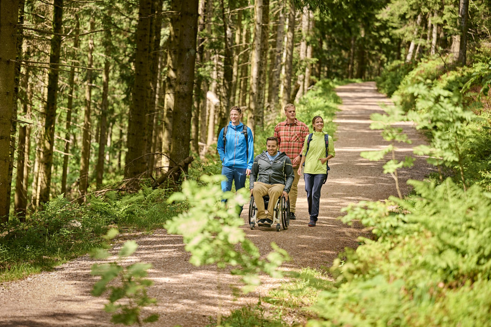
Accessible hiking routes in Baden-Württemberg
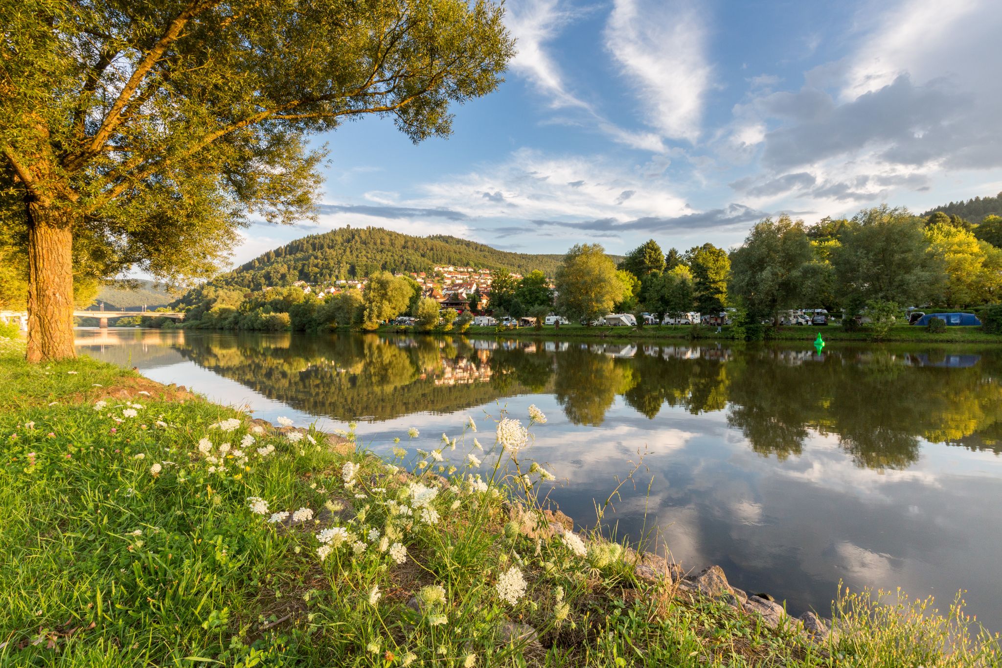
Experience nature – hiking in the Odenwald and Neckar Valley
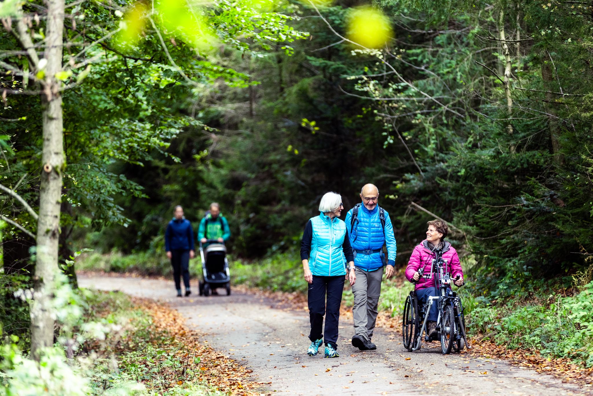
Komfort-Wanderwege im Naturpark Neckartal-Odenwald
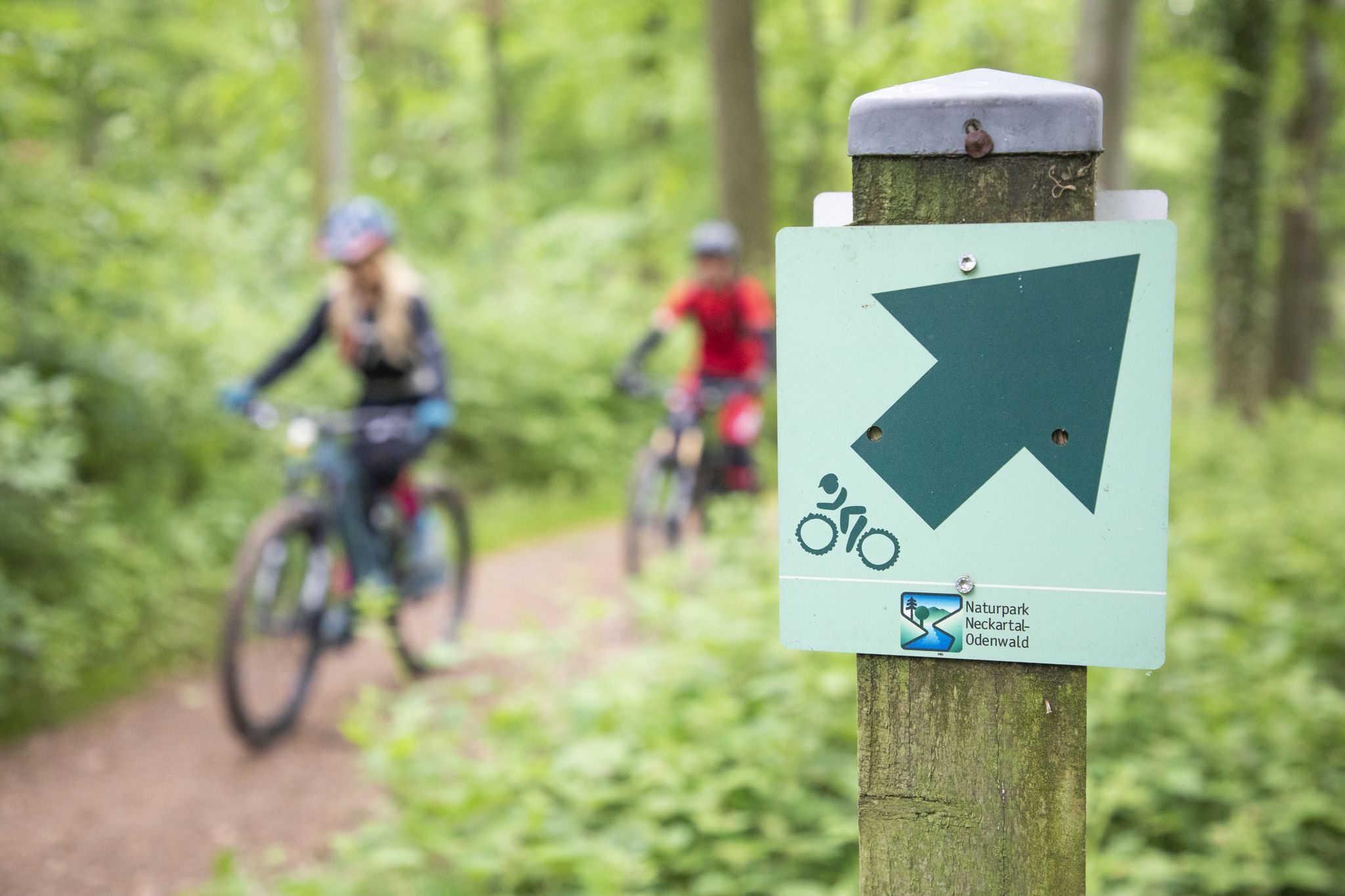
Mountainbike-Touren im Naturpark Neckartal-Odenwald
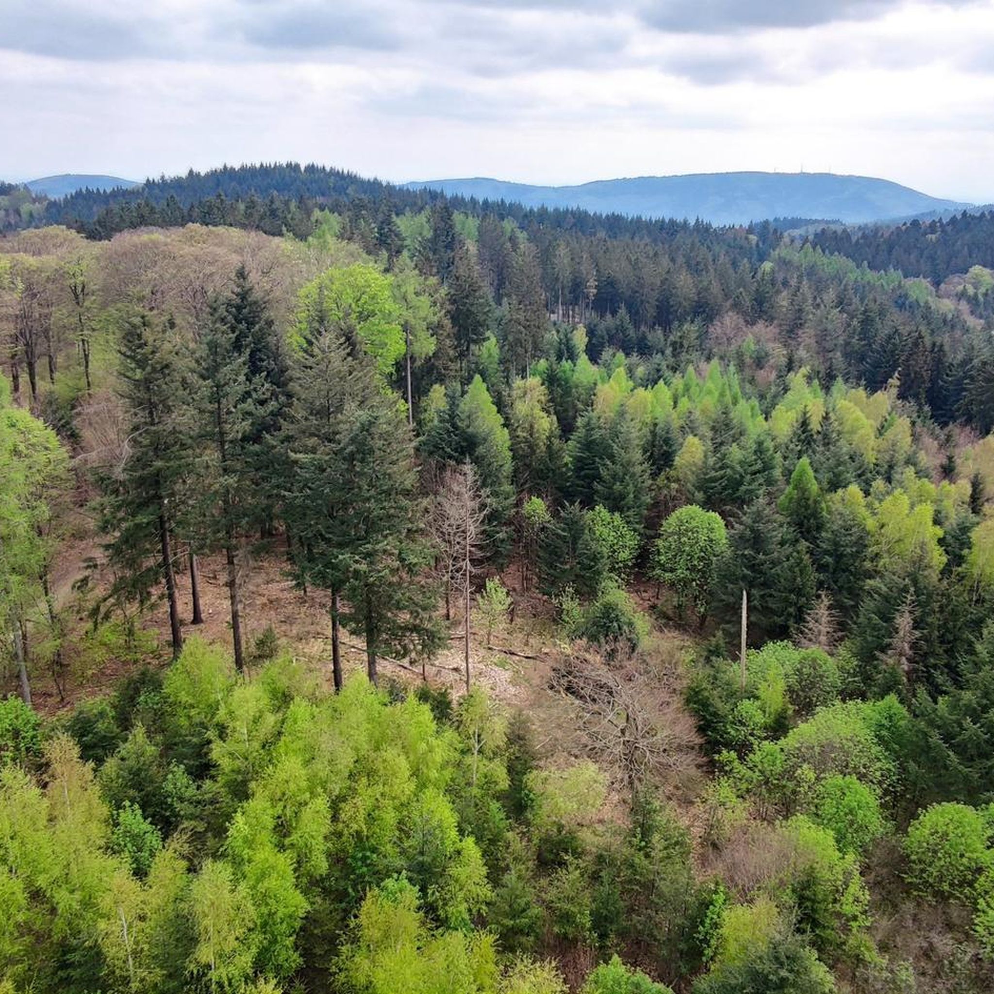
Hiking around Wilhelmsfeld
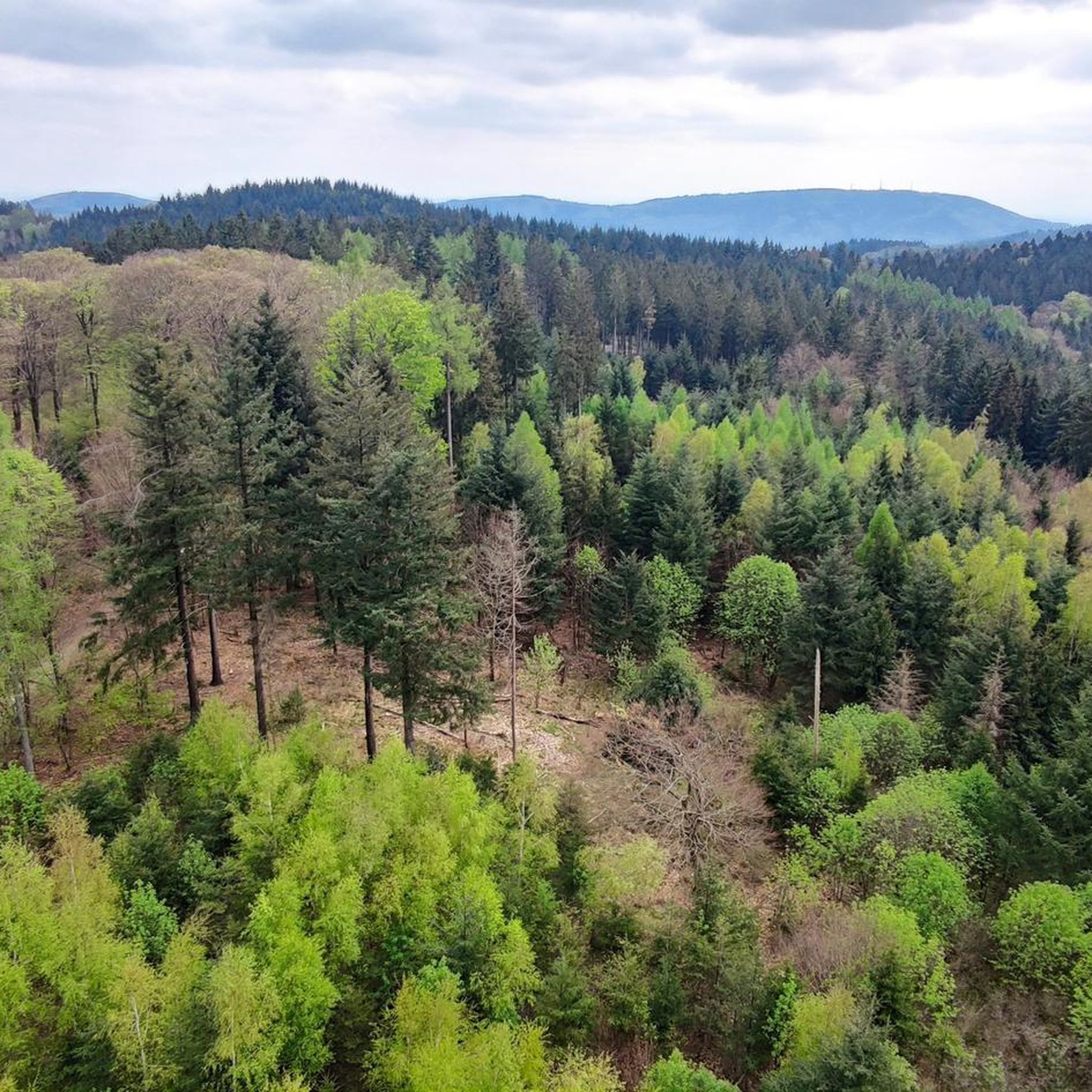
Cycling around Wilhelmsfeld
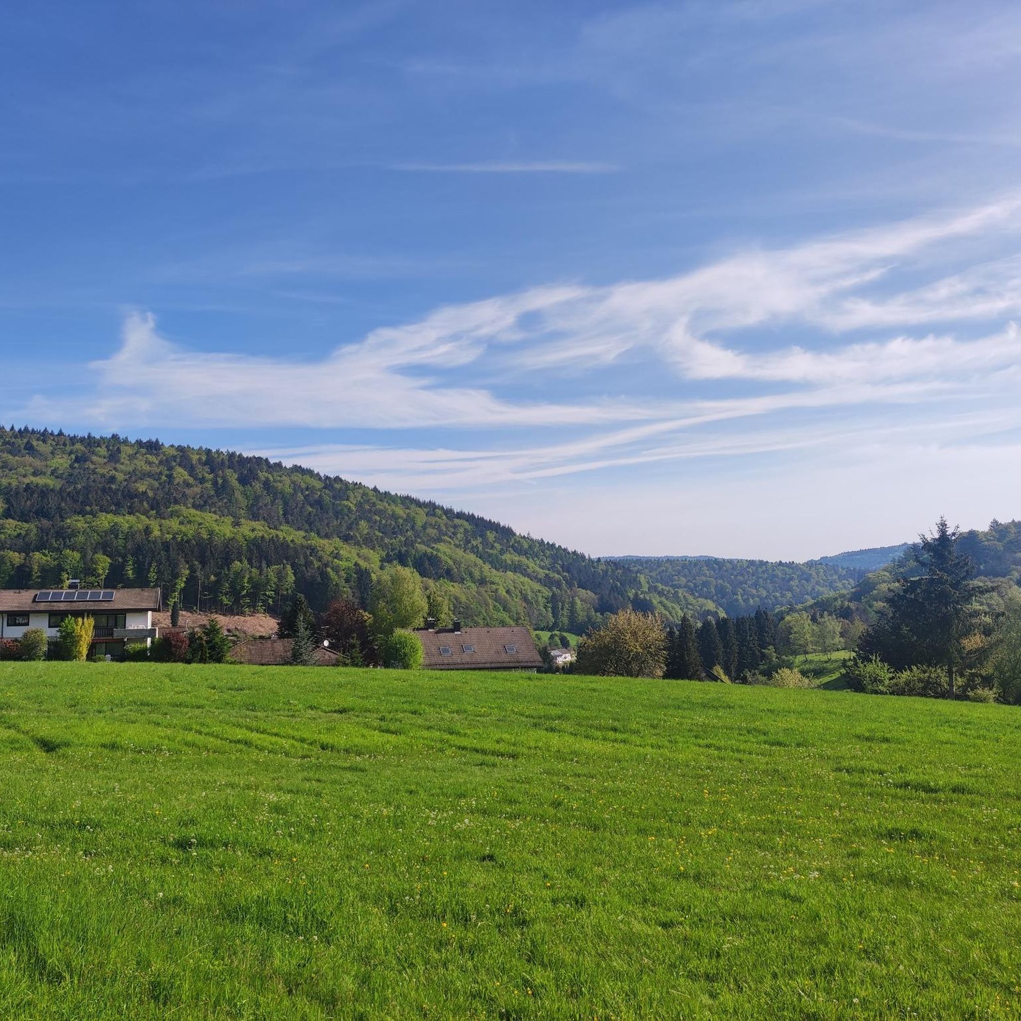
MTB Trails around Wilhelmsfeld
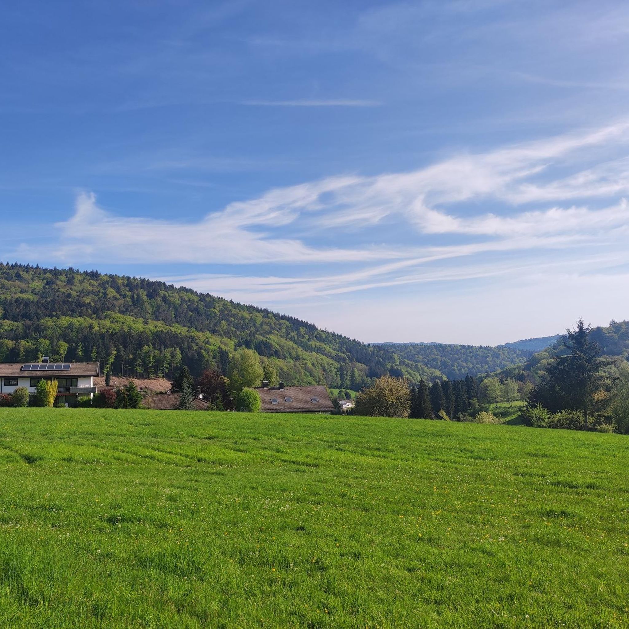
Running Trails around Wilhelmsfeld

Gravel biking around Wilhelmsfeld
Other adventures around Wilhelmsfeld


Tips from the Community

Lovely view over the Neckar with the wooded hills behind it. There's a wide riverside wall to lean your bike against, and the old half-timbered houses of Hirschhorn are just a short roll away for coffee.
0
0

Shortly behind Heidelberg, the Odenwald mountains become very narrow and directly enclose the Neckar.
3
0
Another beautiful stretch of the Steinach Valley cycle path winding through forests and meadows. Excellent surface condition and very little traffic make this ideal for gravel or road bikes.
0
0
A lovely valley trail connecting Heiligkreuzsteinach and Schönau through green meadows and light forest. A scenic and quiet stretch perfect for gravel riding.
0
0

The entrance to Heidelberg's Old Town
0
0

The Ziegelhausen Bridge spans the Neckar River and connects the districts of Ziegelhausen and Schlierbach/Schlierbachs Landstraße. The current structure dates from 1954 and is a prestressed concrete bridge with a roadway approximately 6.5 meters wide, flanked by two 2-meter-wide footpaths. The bridge replaced an older timber and prestressed concrete truss structure from 1914, which was blown up in March 1945 during World War II. The city plans to construct a new bridge starting in 2029, including a three-meter-wide pedestrian and bicycle bridge.
5
0
At the southern end of the Ziegelhausen Neckar Bridge stands an impressive statue of Saint Christopher, the patron saint of travelers and motorists. The sculpture – created by sculptor Bernd Stöcker – depicts the saint in a classic pose, carrying the Christ Child on his shoulders.
6
0
The view of the Neckar River near Ziegelhausen-Schlierbach is truly picturesque – there the tranquil river landscape merges with the wooded slopes of the Odenwald.
4
0
Frequently Asked Questions
What kind of terrain can I expect when road cycling around Wilhelmsfeld?
Wilhelmsfeld is situated in the southern Odenwald, characterized by a varied, hilly landscape. You can expect elevations between 260 and 533 meters above sea level, offering a mix of ascents and descents. Routes often wind through dense forests and picturesque natural scenery, providing a challenging yet rewarding experience.
How many road cycling routes are available in the Wilhelmsfeld area?
There are over 150 road cycling routes available around Wilhelmsfeld, catering to various skill levels. This includes 39 easy routes, 75 moderate routes, and 39 difficult routes, ensuring options for every cyclist.
What are some notable landmarks or viewpoints I can incorporate into my road cycling tours near Wilhelmsfeld?
Many routes offer opportunities to see significant landmarks. You could cycle towards the View of Heidelberg from Königstuhl, or pass by the historic Heidelberg Castle. The Philosophenweg Heidelberg also offers scenic views. The Teltschik Tower on the Schriesheimer Kopf mountain provides panoramic vistas and is a rewarding destination for an ascent.
What do other road cyclists enjoy most about the routes in Wilhelmsfeld?
The road cycling routes around Wilhelmsfeld are highly rated by the komoot community, with an average score of 4.5 out of 5 stars from over 1,700 reviews. Cyclists often praise the varied terrain, the beautiful natural scenery of the Odenwald, and the well-maintained paths that offer both challenging climbs and scenic descents.
Are there any family-friendly road cycling options in Wilhelmsfeld?
While Wilhelmsfeld's terrain is generally hilly, there are 39 easy routes available that might be suitable for families or those looking for less strenuous rides. These routes often feature gentler gradients and can be a good starting point for exploring the area together.
When is the best time of year for road cycling in Wilhelmsfeld?
The best seasons for road cycling in Wilhelmsfeld are typically spring and autumn. During these times, the weather is mild, and the natural scenery is particularly vibrant, with blooming flowers in spring and colorful foliage in autumn, enhancing the cycling experience.
Are there any loop road cycling trails around Wilhelmsfeld?
Yes, many of the road cycling routes around Wilhelmsfeld are designed as loops. For example, the Neckar Promenade in Hirschhorn – Karthausen–Kirchhausen climb loop from Heidelberg-Schlierbach/Ziegelhausen is a popular moderate loop, as is the View of Hinterberg Ruins – View of Heidelberg Castle loop from Schönau.
Can I find routes that offer views of Heidelberg Castle?
Absolutely. The View of Hinterberg Ruins – View of Heidelberg Castle loop from Schönau is a moderate route specifically designed to offer views towards Heidelberg Castle. Many other routes in the area also provide glimpses of this iconic landmark.
Are there road cycling routes that follow the Neckar River?
Yes, the Neckar Valley is a prominent feature of the region, and several road cycling routes incorporate sections along the Neckar River. The Neckar Promenade in Hirschhorn – Neckar Bend at Hirschhorn loop from Heidelberg Orthopädie is a great example, leading through the scenic Neckar Valley.
What are some options for moderate difficulty road cycling routes?
Wilhelmsfeld offers 75 moderate road cycling routes. A good option is the Neckar Promenade in Hirschhorn – Neckarhausen Ferry loop from Harfenburg, which covers nearly 40 km and includes a moderate elevation gain, providing a balanced challenge.
Are there any routes that offer a significant climbing challenge?
For those seeking a challenge, Wilhelmsfeld has 39 difficult routes. The region's topography, with elevations up to 533 meters, ensures plenty of demanding ascents. The Neckar Promenade in Hirschhorn – Karthausen–Kirchhausen climb loop from Heidelberg-Schlierbach/Ziegelhausen, for instance, features over 650 meters of elevation gain.
Most popular routes around Wilhelmsfeld
Most popular attractions around Wilhelmsfeld

Get inspired with the komoot mobile app


Explore more
Browse the best Road cycling routes in other regions.
