The best walks and hikes around Wilhelmsfeld
4.6
(513)
1,904
hikers
22
hikes
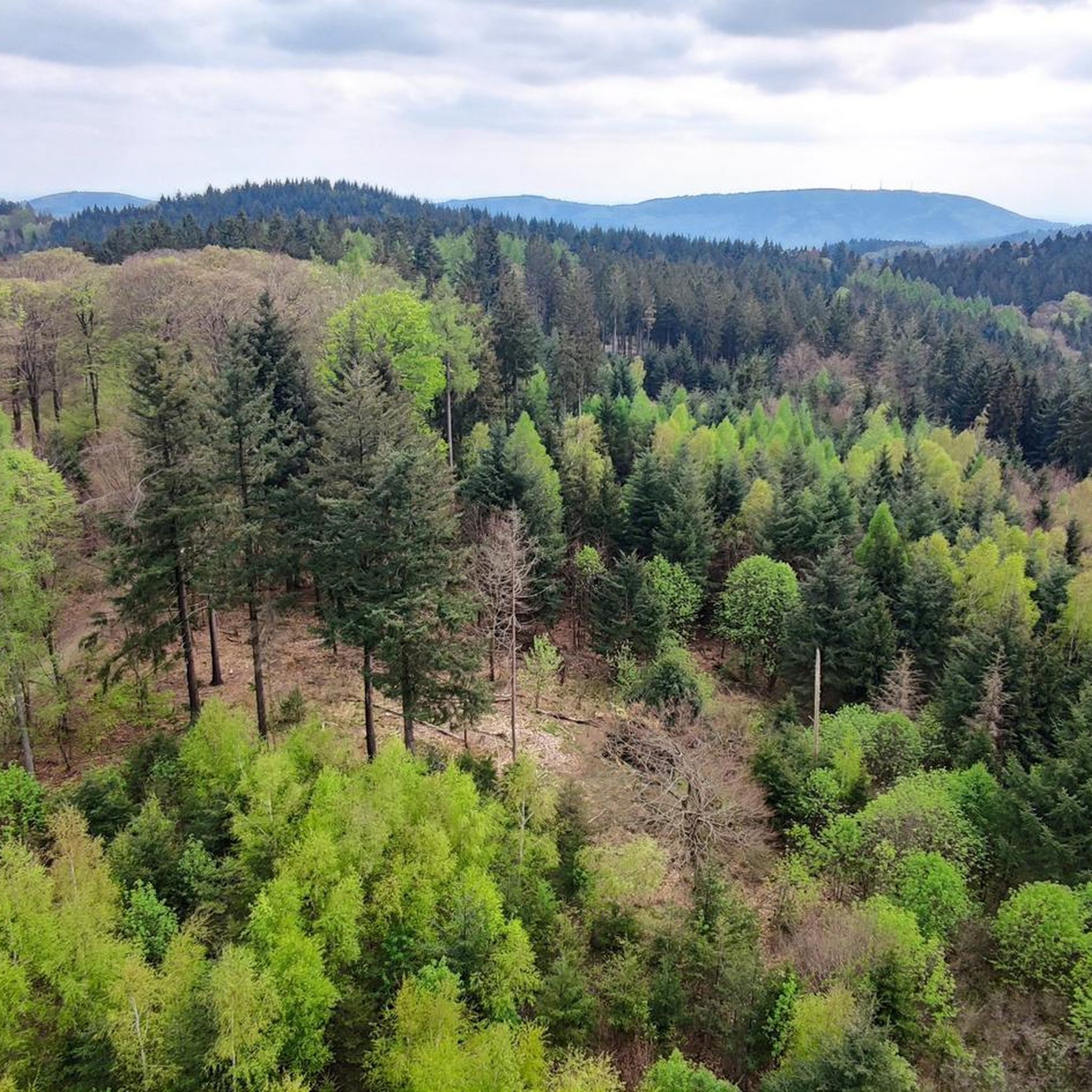
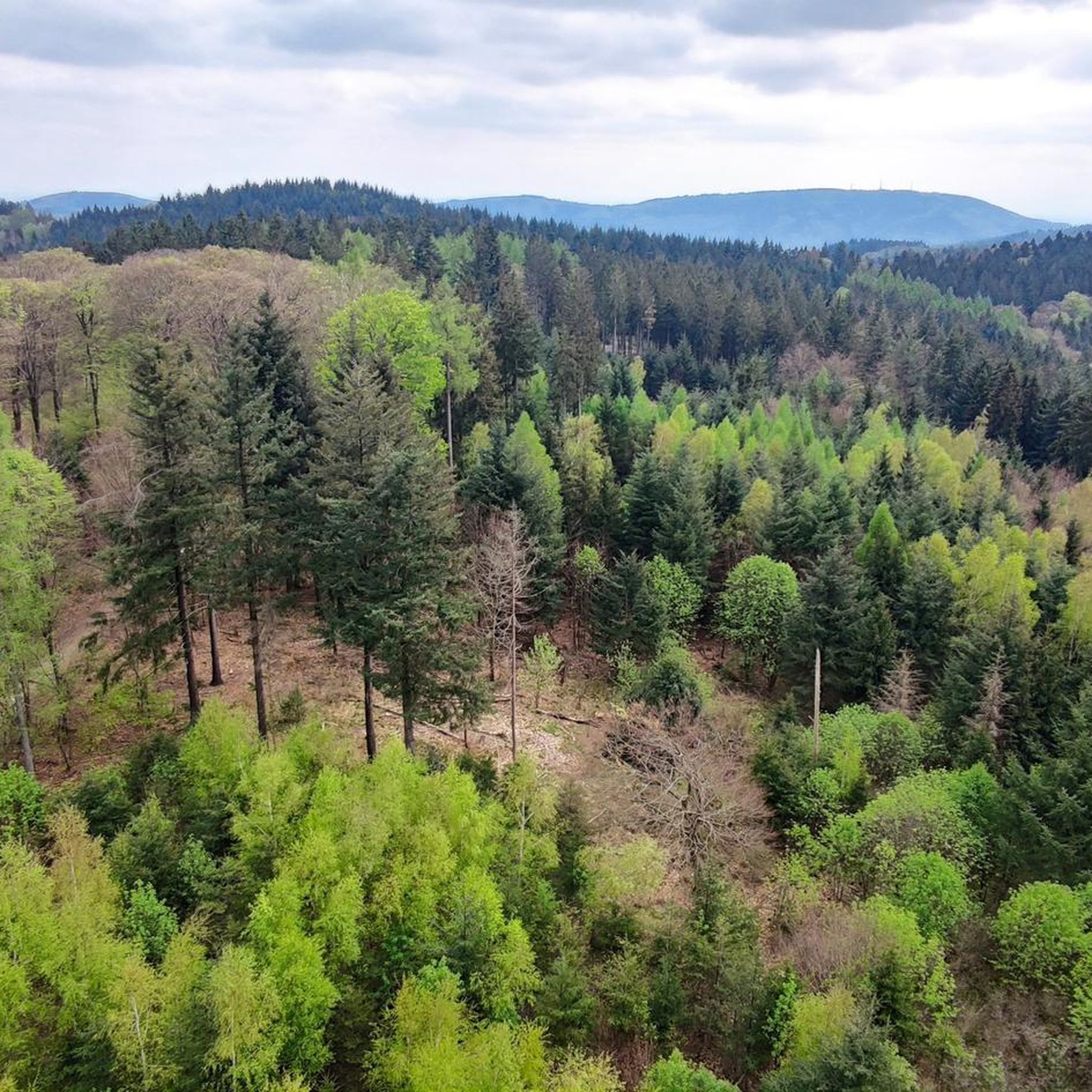
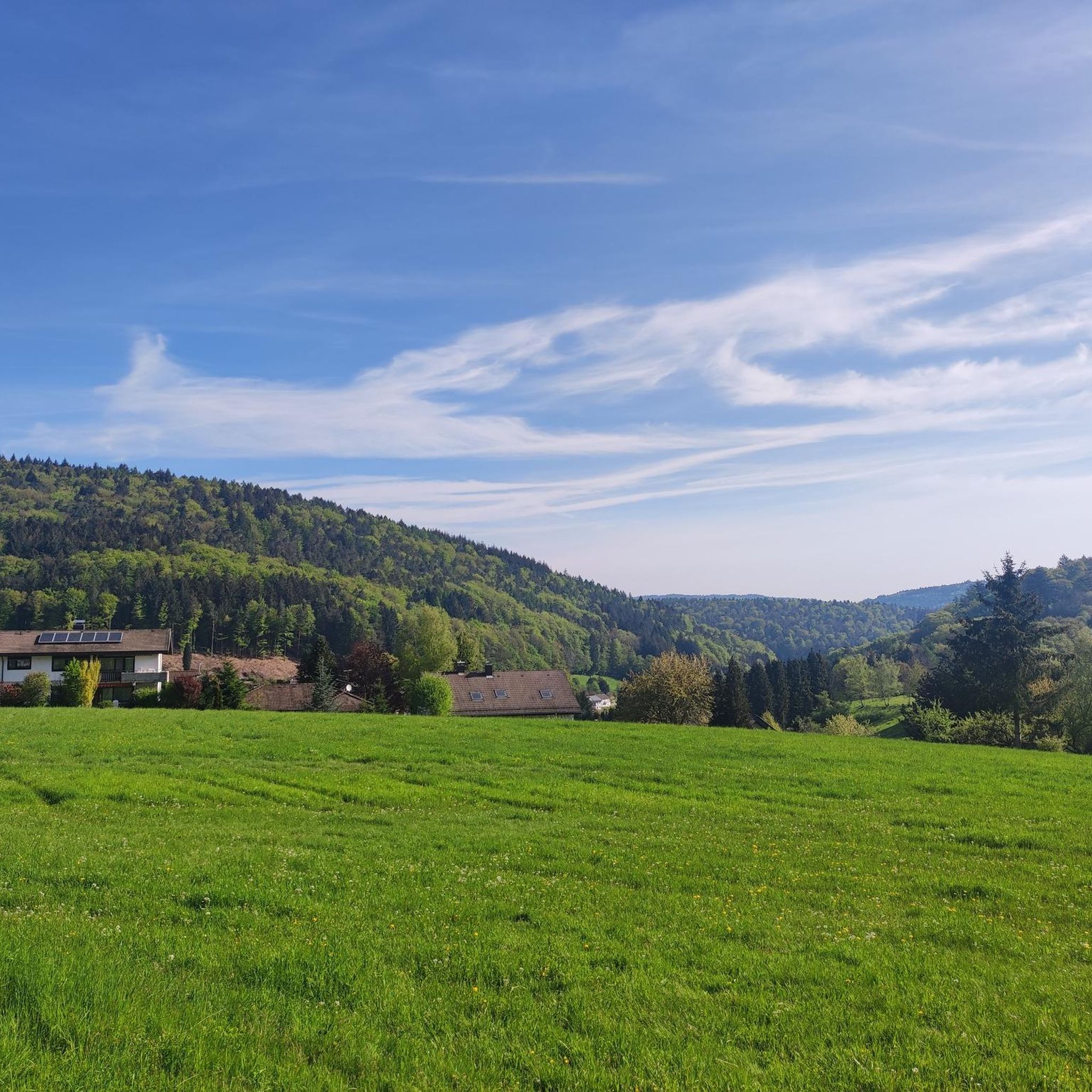
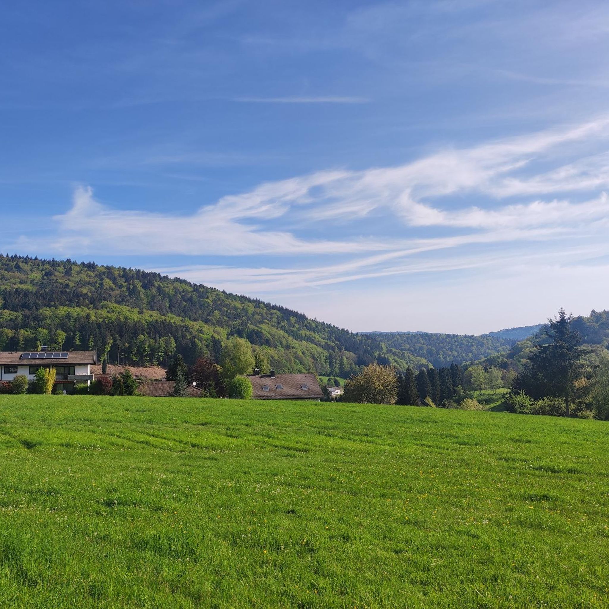
Hiking around Wilhelmsfeld offers access to the diverse natural landscape of the Odenwald low mountain range. The region is characterized by picturesque forested hills and stream valleys, providing varied terrain for outdoor activities. Wilhelmsfeld hiking routes frequently lead through deep forests and open clearings, with elevations suitable for various fitness levels.
Best hiking trails in Wilhelmsfeld
- The most popular hiking route is Kameralwald Trail - Odenwald and Neckar Valley, a 7.5 miles (12.1 km) trail that takes 3 hours…
Last updated: October 8, 2026
4.4
(307)
1,028
hikers
12.1km
03:24
250m
240m
Moderate hike. Good fitness required. Easily-accessible paths. Suitable for all skill levels.
4.6
(57)
233
hikers
3.22km
00:55
70m
70m
Easy hike. Great for any fitness level. Easily-accessible paths. Suitable for all skill levels.

4.4
(7)
30
hikers
4.39km
01:16
110m
120m
Easy hike. Great for any fitness level. Easily-accessible paths. Suitable for all skill levels.
4.4
(9)
62
hikers
3.95km
01:04
50m
50m
Easy hike. Great for any fitness level. Easily-accessible paths. Suitable for all skill levels.
4.4
(12)
46
hikers
Hard hike. Very good fitness required. Easily-accessible paths. Suitable for all skill levels.
Get access to more routes and recommendations from other explorers.
Already have an account?
Our route recommendations are based on thousands of hikes, rides, and runs completed by other people on komoot.
Start today with a free account
Your next adventure awaits.
Popular around Wilhelmsfeld
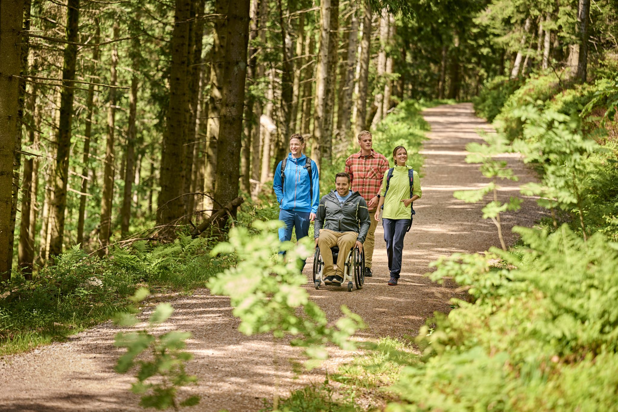
Accessible hiking routes in Baden-Württemberg
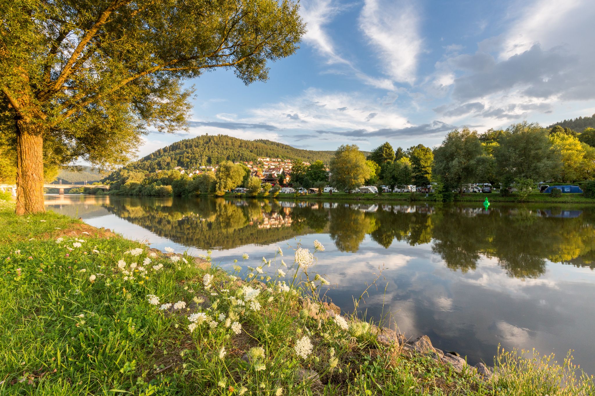
Experience nature – hiking in the Odenwald and Neckar Valley

MTB flow in BW! Trails from the Schwarzwald to the Odenwald
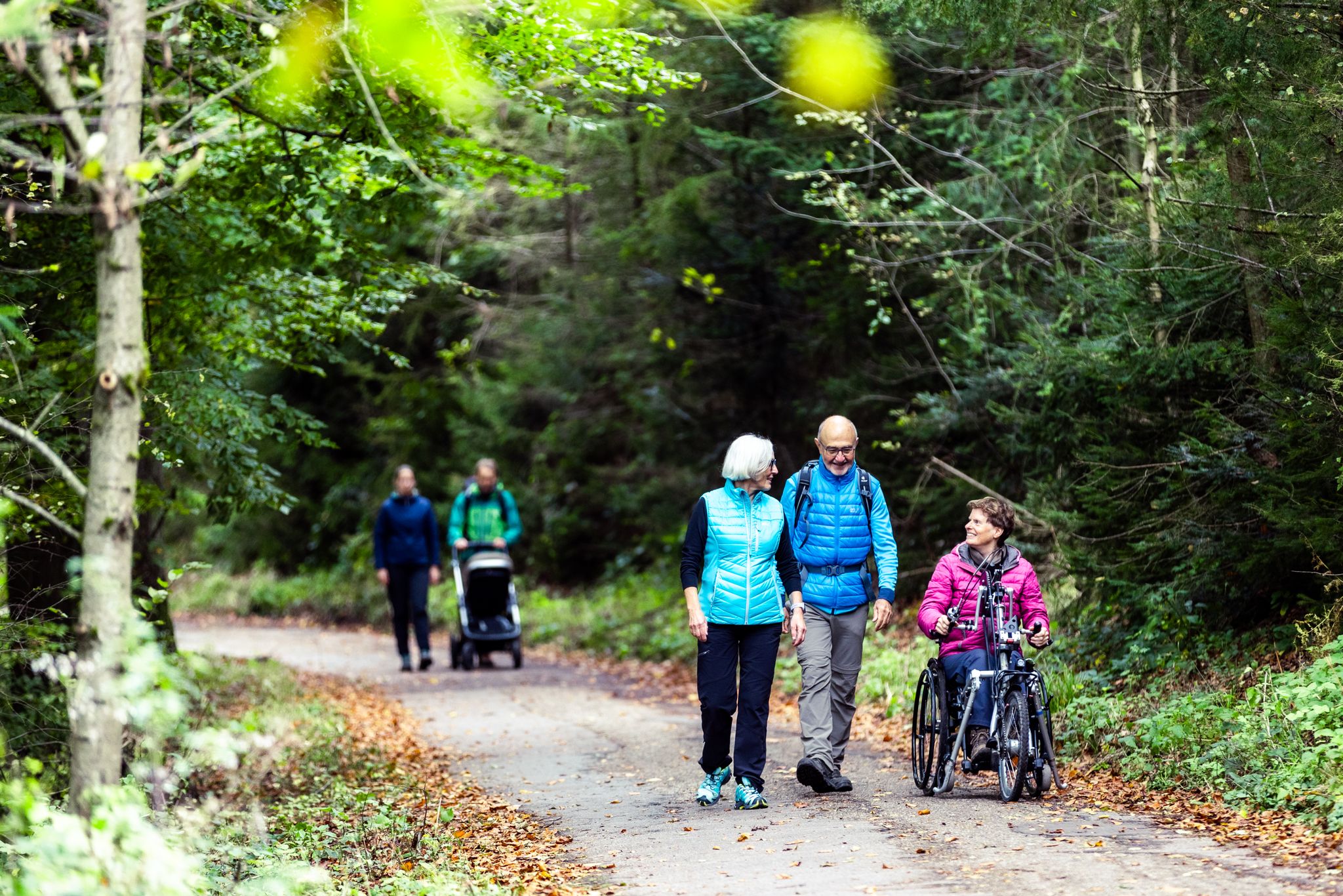
Komfort-Wanderwege im Naturpark Neckartal-Odenwald
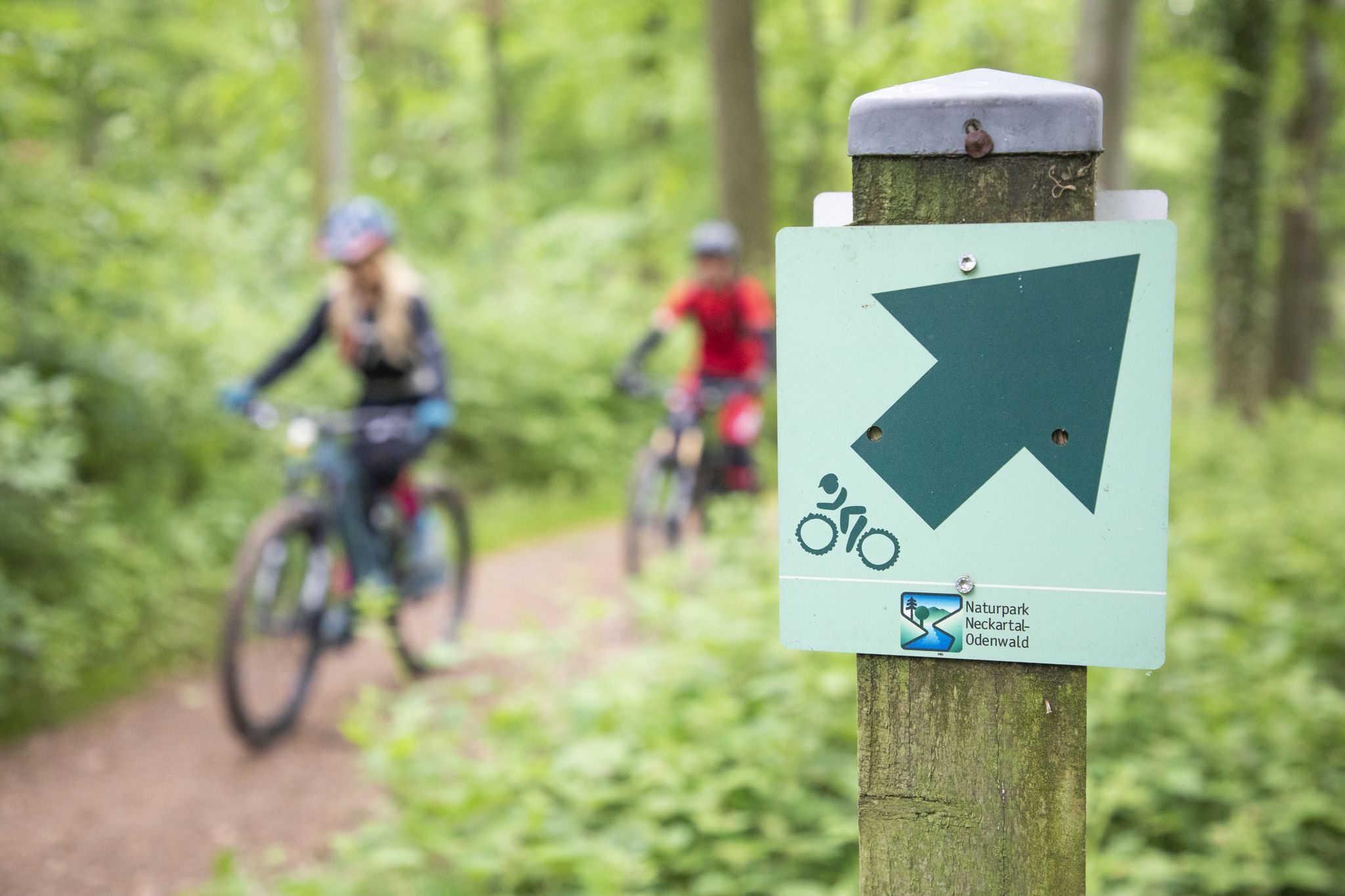
Mountainbike-Touren im Naturpark Neckartal-Odenwald
Road Cycling Routes around Wilhelmsfeld
Cycling around Wilhelmsfeld
MTB Trails around Wilhelmsfeld
Running Trails around Wilhelmsfeld

Gravel biking around Wilhelmsfeld
Other adventures around Wilhelmsfeld


Tips from the Community

Flowing to ride with a fun factor.
2
0


You can stop by the Sisi memorial stone. 🛑📸
0
0


From the Teltschik Tower you have an excellent view of Wilhelmsfeld
0
0

ForstBW has set up two wooden, red deck chairs here. The inscription reads: "It's still the most beautiful in the forest!"
0
0

Very nice path that takes you up to the tower and restaurant. Really beautiful when the sun is shining through the trees on the path :)
2
0

Very large hiking car park.- Starting point for many tours
0
0
Frequently Asked Questions
How many hiking trails are available in Wilhelmsfeld?
Wilhelmsfeld offers a diverse network of over 20 hiking trails, catering to various fitness levels. You'll find everything from easy strolls to more challenging ascents through the Odenwald low mountain range.
What is the best time of year for hiking in Wilhelmsfeld?
The most favorable times for hiking in Wilhelmsfeld are spring and autumn. During these seasons, the weather is mild, and nature displays its full bloom or vibrant autumnal colors. In winter, with sufficient snow, Wilhelmsfeld also offers cross-country skiing opportunities.
What kind of terrain can I expect on Wilhelmsfeld's hiking trails?
The hiking trails in Wilhelmsfeld traverse the picturesque forested hills and stream valleys of the Odenwald. You can expect a mix of deep forests and open clearings, with varied elevations that ensure a dynamic and engaging experience.
Are there easy hiking trails suitable for beginners or families in Wilhelmsfeld?
Yes, Wilhelmsfeld has 10 easy hiking routes perfect for beginners or families. A great option is the View of Wilhelmsfeld – View of Wilhelmsfeld loop from Wilhelmsfeld, an easy 4.4 km path offering scenic views. For families with children, the "Dwarf Nose" Fairytale Trail (Zwergennase Märchenpfad) provides an interactive and playful experience.
Are there challenging hikes for experienced hikers in Wilhelmsfeld?
Absolutely. For experienced hikers seeking a challenge, Wilhelmsfeld offers 2 difficult routes. One notable option is the Old Quarry – Strangwasen Fountain loop from Wilhelmsfeld, an 18.3 km trail with significant elevation changes, providing a rewarding experience.
What natural landmarks or viewpoints can I discover while hiking in Wilhelmsfeld?
You can explore several impressive natural landmarks and viewpoints. The Weißer Stein and observation tower offers breathtaking panoramic views. The Königstuhl Peak, as the highest point in the Odenwald, also provides spectacular regional vistas. Additionally, the Teltschik Tower on the Schriesheimer Kopf offers expansive 360-degree views across the Odenwald and Rhine plain.
Are there historical or cultural points of interest along the trails?
Yes, Wilhelmsfeld's trails lead to several interesting points. You can find the Sissi Memorial Stone, a sandstone monument commemorating a hike by Empress Elisabeth of Austria. Nearby, you can also explore historical sites like Heidelberg Castle or Strahlenburg, which are accessible from Wilhelmsfeld.
Can I bring my dog on the hiking trails in Wilhelmsfeld?
Generally, dogs are welcome on most hiking trails in Wilhelmsfeld. It's always recommended to keep your dog on a leash, especially in nature reserves or areas with wildlife, and to be mindful of other hikers. Please ensure you clean up after your pet.
Are there circular hiking routes in Wilhelmsfeld?
Many of Wilhelmsfeld's trails are designed as circular routes, allowing you to start and end at the same point. An example is the moderate Wildeleutestein Rock Formation – View of Weißen Stein loop from Wilhelmsfeld, which covers 12.6 km and offers diverse scenery.
What do other hikers enjoy the most about hiking in Wilhelmsfeld?
The area is highly rated by the komoot community, with an average score of 4.6 stars from over 400 reviews. Reviewers often praise the diverse natural landscape of the Odenwald, the well-maintained and clearly marked trails, and the ever-changing views through deep forests and stream valleys.
Is public transport available to access hiking trails in Wilhelmsfeld?
Wilhelmsfeld is generally accessible by public transport, primarily buses, which connect to larger towns like Heidelberg. From the village center, many trailheads are within walking distance. It's advisable to check local bus schedules for specific routes and timings to plan your hike effectively.
Most popular routes around Wilhelmsfeld
Most popular attractions around Wilhelmsfeld

Get inspired with the komoot mobile app


Explore more
Browse the best Hikes in other regions.
