The best road cycling routes in the Wicklow Mountains National Park
4.5
(499)
22,037
riders
77
rides
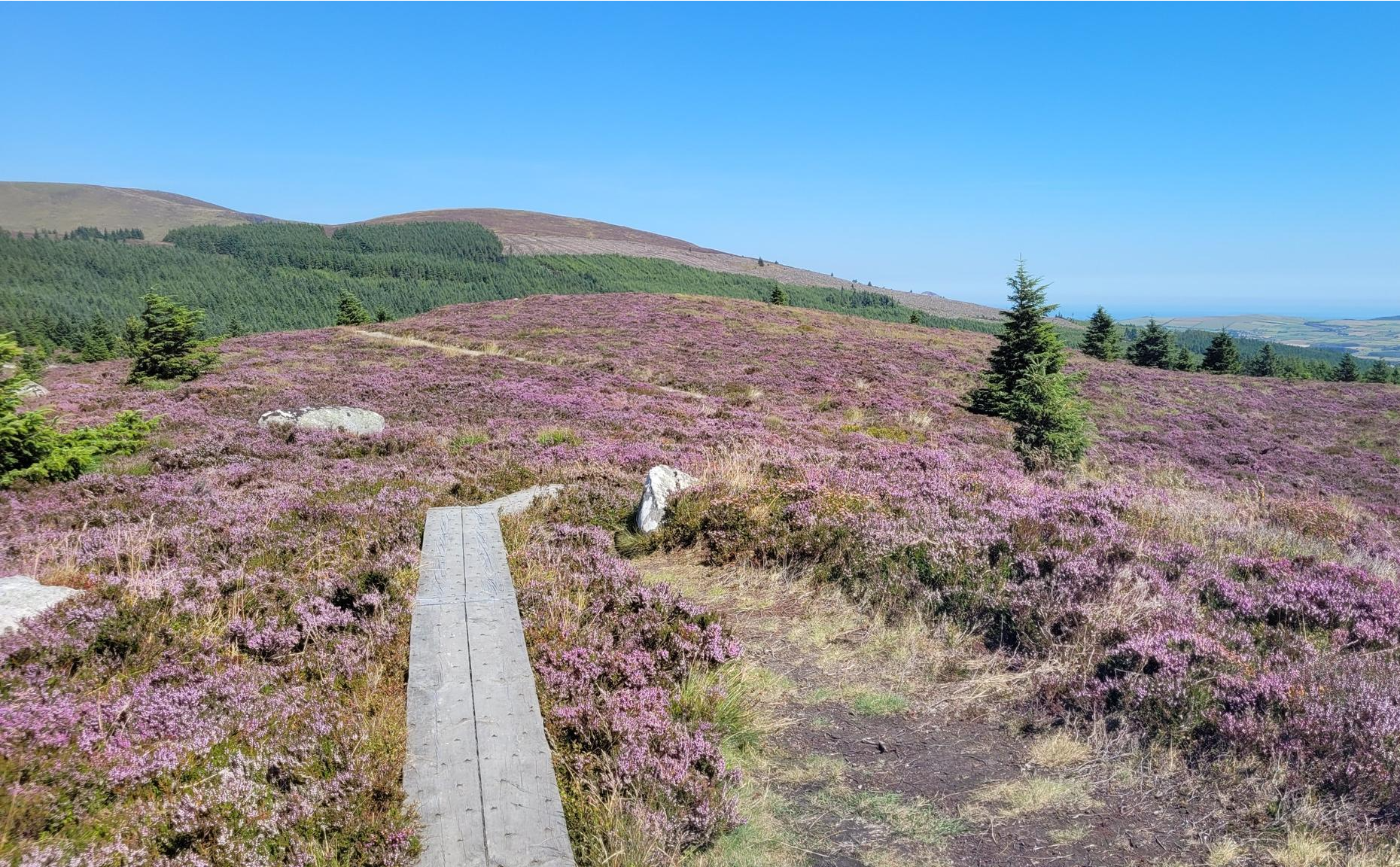
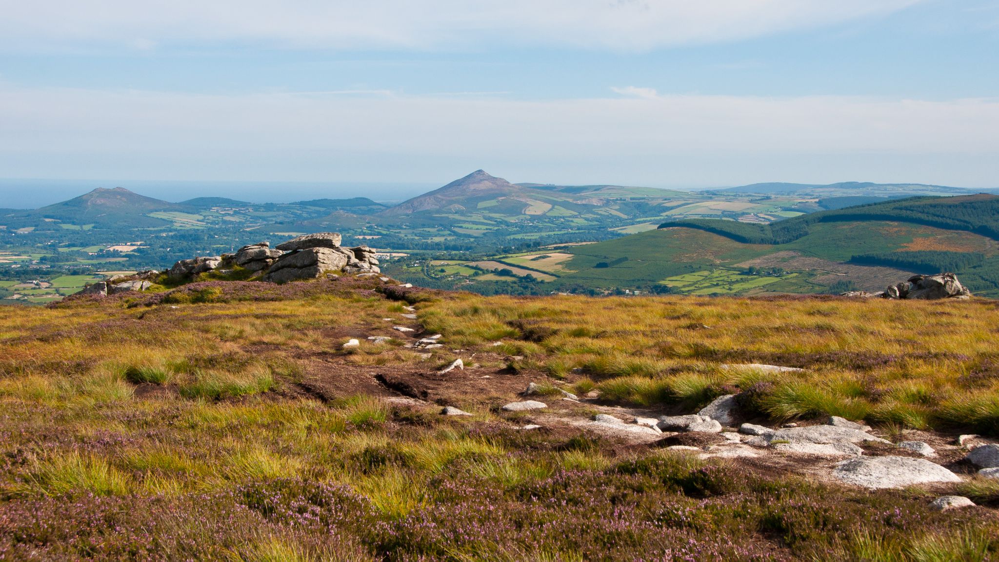
Road cycling in the Wicklow Mountains National Park offers diverse and challenging routes through a landscape characterized by rolling mountains, deep glacial valleys, and lush forests. The park's hard-surfaced roads provide access to mountainous terrain, featuring significant elevation changes. Cyclists can navigate through areas with wide-open mountain blanket bog habitats and serene lakes. The region is known for its steep gradients, presenting a demanding experience for road cyclists.
Best road cycling routes in the Wicklow Mountains National Park
- The most popular road cycling route is Sally Gap and Slieve Man loop from Roundwood — Wicklow Mountains National Park, a 62.9 miles (101.3 km) trail that takes 5 hours 2 minutes to complete. This difficult route features significant climbs over iconic passes.
- Another top favourite among local road cyclists is Johnnie Fox's Pub – View of Dublin loop from Ballycullen, a moderate 18.0 miles (29.0 km) path. This route offers scenic views, including panoramas of Dublin.
- Local road cyclists also love the Military Road (L1013) – Sally Gap loop from Blessington, a 66.9 miles (107.6 km) trail leading through the historic Military Road and Sally Gap, often completed in about 5 hours 38 minutes.
- Road cycling in the Wicklow Mountains National Park is defined by rolling mountains, deep glacial valleys, and upland bogs. The network offers options for easy, moderate, and difficult ability levels.
- The routes in Wicklow Mountains National Park are highly rated by the komoot community with an average score of 4.2 stars from over 14 reviews. More than 1,300 road cyclists have used komoot to explore Wicklow Mountains National Park's varied terrain.
Last updated: August 23, 2026
42
riders
101km
05:02
1,540m
1,540m
Hard road ride. Very good fitness required. Mostly well-paved surfaces and easy to ride.
5.0
(2)
129
riders
Moderate road ride. Good fitness required. Mostly well-paved surfaces and easy to ride.

Sign up for free
123
riders
108km
05:38
1,910m
1,910m
Hard road ride. Very good fitness required. Mostly well-paved surfaces and easy to ride.
69
riders
20.7km
01:07
390m
390m
Moderate road ride. Good fitness required. Mostly well-paved surfaces and easy to ride.
4.0
(1)
64
riders
33.0km
01:51
590m
600m
Moderate road ride. Good fitness required. Mostly well-paved surfaces and easy to ride.
Get access to more routes and recommendations from other explorers.
Sign up for free
Already have an account?
Our route recommendations are based on thousands of hikes, rides, and runs completed by other people on komoot.
Start today with a free account
Your next adventure awaits.
Login or Signup
Popular around Wicklow Mountains National Park
Running the Wicklow Way – From the city to the mountains
The Wicklow Way — discover Ireland's east
Dublin Mountains Way – hiking from city to summit
Lough shores and country roads – Blessington Loop

Follow the water - Along Ireland's rivers and lakes
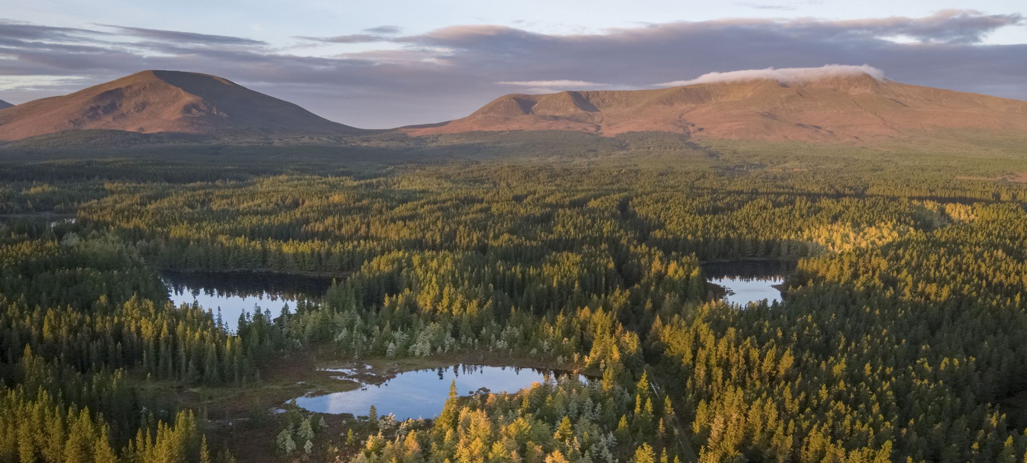
Discover Ireland's unspoilt nature in its national parks

Ireland's blue rivers and lakes – walks along the water

Discover Ireland's past – historical walks on the Emerald Isle
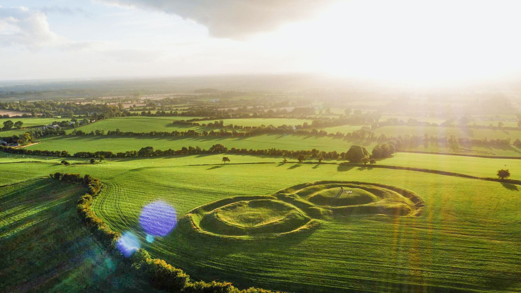
The magical east of Ireland – ancient places, scenic lakes and rocky mountains
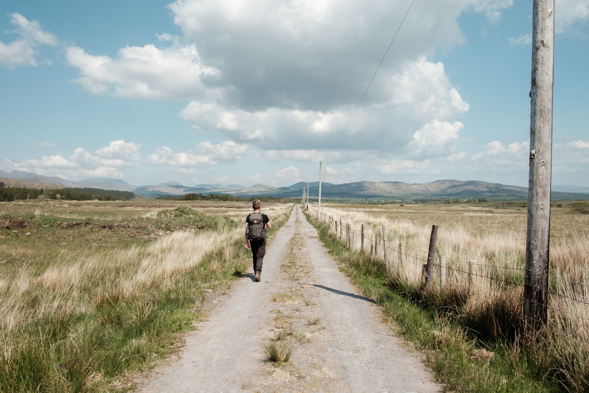
Irish wanderlust — 8 long-distance hiking trails on the Emerald Isle
Other adventures in the Wicklow Mountains National Park


Tips from the Community

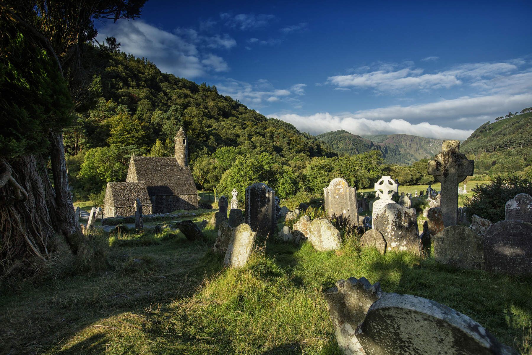
A really great old monastery complex where there is a lot to discover.
0
0

Friendly service and plenty of space inside and outside.
8
0
The Glenmacnass Waterfall cascades 80–100 metres down several broad steps into a carved U‑shaped valley, one of the wildest landscapes in the Wicklow Mountains. From the R115, you have a frontal view of the granite ledge over which the water falls, with open moorland, peat slopes, and the river winding its way towards Laragh.
8
0
The waterfall plunges in multiple stages, 80–100 meters, down a wide granite ledge. The combination of steep walls, open highlands, and the winding river below makes this one of the most dramatic panoramas in the entire R115 corridor.
6
0
Sally Gap, one of the highest and most open crossroads in the Wicklow Mountains. Here, the R759 and the Old Military Road (R115) intersect at over 500 meters altitude, in the middle of a vast moorland and heath landscape without buildings or shelter. The panorama is a full 360°: the dark bogs of Liffey Head Bog, the flanks of Kippure, the valleys towards Glencree, and the long, empty Military Road that runs like a pencil line through the highlands. This location is world-famous as a backdrop for films and series such as Braveheart, Vikings, and P.S. I Love You.
8
0
You are here on one of the most characteristic sections of the Old Military Road, built between 1800 and 1809 by the British Army to control the Wicklow Mountains after the 1798 Rebellion. This section of the L1013 runs across an open high plateau with wide, rugged views towards Glencree, Kippure and the northern Wicklow Mountains.
7
0
For the cyclist, this is the main attraction. The café is located in the old armoury and is known for its hearty soups, homemade cakes, and good coffee. You could almost call it a cycling café.
7
0

Just off the Military Road above Glenmalure, you'll find this nice little cascade on the Ballyboy Brook. From here, it's just a short walk to the Glenmalure Lodge for accommodation and refreshments. A short way further north are the more impressive Coolalingo Waterfalls.
0
0
Frequently Asked Questions
How many road cycling routes are available in the Wicklow Mountains National Park?
There are over 90 road cycling routes in the Wicklow Mountains National Park, offering a wide range of experiences for cyclists. These include 12 easy routes, 61 moderate routes, and 17 difficult routes, ensuring options for various skill levels.
What are the typical difficulty levels for road cycling in the Wicklow Mountains National Park?
Road cycling in the Wicklow Mountains National Park offers routes across all difficulty levels. You'll find 12 easy routes, 61 moderate routes, and 17 challenging routes. The region is known for its steep gradients and mountainous terrain, so many routes present a demanding experience, especially those crossing iconic passes like Sally Gap and Wicklow Gap.
What kind of natural features can I expect to see while road cycling in the Wicklow Mountains?
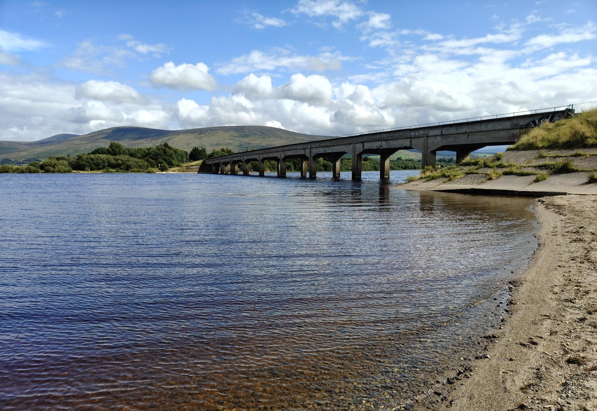
The Wicklow Mountains National Park is rich in natural beauty. Cyclists can expect to see dramatic glacial valleys, serene lakes like the Upper and Lower Lakes of Glendalough, and expansive Blessington Lakes. The landscape also features rolling mountains, wide-open mountain blanket bog habitats, and diverse woodlands. Keep an eye out for stunning views from peaks like Djouce Summit and Lugnaquilla.
Are there any notable historical sites or landmarks along the road cycling routes?
Yes, the region is steeped in history. A major highlight is the Glendalough Monastic Settlement, founded in the 6th century, featuring a well-preserved round tower and ruined churches. You might also encounter old mine buildings and spoil heaps in areas like Glendasan. For panoramic views and historical context, consider routes near the Hellfire Club (Montpelier Hill).
Which road cycling routes offer the most challenging climbs and panoramic views?
For challenging climbs and panoramic views, routes that traverse the iconic Sally Gap and Wicklow Gap are highly recommended. The Sally Gap and Slieve Man loop from Roundwood, and the Military Road (L1013) – Sally Gap loop from Blessington are particularly noted for their significant elevation changes and spectacular scenery across peat bogs and Lough Tay.
What do other road cyclists say about their experience in the Wicklow Mountains National Park?
The road cycling routes in Wicklow Mountains National Park are highly rated by the komoot community, with an average score of 4.2 stars from over 14 reviews. More than 1,300 road cyclists have used komoot to explore the varied terrain, often praising the challenging climbs, breathtaking views, and the sense of accomplishment after tackling the region's steep gradients.
Are there any waterfalls visible from or near road cycling routes?
While not directly on every road cycling route, the Wicklow Mountains National Park is home to several impressive waterfalls. Powerscourt Waterfall, Ireland's highest, Glenmacnass Waterfall, and Poulanass Waterfall are all significant natural attractions in the region, and some routes may offer views or pass nearby, making them worth a short detour.
What is the best time of year for road cycling in the Wicklow Mountains?
The best time for road cycling in the Wicklow Mountains is generally from late spring to early autumn (May to September) when the weather is milder and days are longer. However, weather conditions can be unpredictable and change rapidly, even in summer. Be prepared for potential rain, wind, and cooler temperatures at higher elevations regardless of the season.
Are there any family-friendly road cycling routes in the Wicklow Mountains National Park?
While many routes in the Wicklow Mountains feature significant climbs, there are easier options suitable for families or those seeking a less strenuous ride. The park offers 12 easy routes, which tend to have less elevation gain and are often on quieter roads or flatter sections, providing a more relaxed experience for all ages.
Where can I find parking when planning a road cycling trip in the Wicklow Mountains?
Parking is available at various points throughout the Wicklow Mountains National Park, particularly near popular trailheads and visitor centers like Glendalough. Many towns and villages surrounding the park, such as Roundwood or Blessington, also offer parking facilities that serve as convenient starting points for road cycling routes.
Can I access the Wicklow Mountains road cycling routes using public transport?
Public transport options to the Wicklow Mountains are available, though they may not directly serve every starting point for road cycling routes. Buses operate from Dublin to towns like Glendalough and Blessington, which can serve as access points. It's advisable to check specific bus routes and schedules to plan your journey and ensure your bike can be accommodated.
Are there any road cycling routes that offer views of Dublin?
Yes, some routes provide stunning panoramas of Dublin. For example, the Johnnie Fox's Pub – View of Dublin loop from Ballycullen is a moderate route that offers scenic vistas, including clear views of the city in the distance, making for a rewarding ride.
What kind of wildlife might I encounter while cycling in the park?
The Wicklow Mountains National Park is home to a variety of wildlife. While cycling, you might spot red deer, foxes, and badgers. The park is also a haven for numerous bird species, including kestrels, peregrine falcons, and merlins, especially in the more remote mountain and bogland areas.
Most popular routes in the Wicklow Mountains National Park
Most popular attractions in the Wicklow Mountains National Park

Get inspired with the komoot mobile app


Explore more
Browse the best Road cycling routes in other regions.
