The best running trails in the Wicklow Mountains National Park
4.4
(37)
4,235
runners
218
runs
Jogging in the Wicklow Mountains National Park offers diverse landscapes shaped by ancient granite and glacial activity, providing an exceptional setting for outdoor enthusiasts. The region features sweeping valleys, heather-covered peaks, and rolling hills, alongside deep, steep-sided glacial valleys like Glendalough. Joggers can explore pristine forests, ancient oak woodlands, and expansive areas of blanket bog and heath. This varied terrain provides a wide array of routes suitable for different preferences and fitness levels.
Best jogging routes in the Wicklow Mountains National Park
- The most popular jogging route is Glendalough Spink Trail, a 5.9 miles (9.5 km) trail that takes 1 hour 23 minutes to complete. This difficult route offers panoramic views of Glendalough's lakes and a waterfall.
- Another top favourite among local runners is Bohernabreena Reservoirs running loop, a difficult 9.7 miles (15.7 km) path. This route features scenic paths around the tranquil reservoirs, ideal for a longer run.
- Local runners also love the Dublin Mountains Way Hellfire & Massey Spur, a 4.8 miles (7.7 km) trail leading through woodland and offering views from the Hellfire Club, often completed in about 57 minutes.
- Jogging in the Wicklow Mountains National Park is defined by glacial valleys, heather-covered peaks, and ancient oak woodlands. The extensive network of routes offers options for different ability levels, from accessible paths to more technical mountain trails.
- The routes in Wicklow Mountains National Park are highly rated by the komoot community with an average score of 4.3 stars from over 20 reviews. More than 4000 runners have used komoot to explore Wicklow Mountains National Park's varied terrain.
Last updated: October 10, 2026
5.0
(4)
180
runners
9.47km
01:24
320m
320m
Jog the difficult 5.9-mile Glendalough Spink Trail in Wicklow Mountains National Park, featuring panoramic views and a waterfall.
48
runners
15.7km
01:41
120m
120m
Hard run. Very good fitness required. Mostly paved surfaces. Suitable for all skill levels.

21
runners
7.73km
00:57
220m
220m
Jog the Dublin Mountains Way Hellfire & Massey Spur, a 4.8-mile (7.7 km) moderate route with panoramic views and historical ruins.
2
runners
10.3km
01:17
320m
320m
Hard run. Very good fitness required. Mostly paved surfaces. Suitable for all skill levels.
3.3
(3)
170
runners
20.4km
02:51
1,010m
1,010m
Hard run. Very good fitness required. Sure-footedness, sturdy shoes and alpine experience required.
Get access to more routes and recommendations from other explorers.
Already have an account?
Our route recommendations are based on thousands of hikes, rides, and runs completed by other people on komoot.
Start today with a free account
Your next adventure awaits.
Popular around Wicklow Mountains National Park
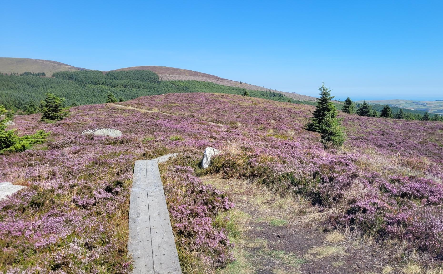
Running the Wicklow Way – From the city to the mountains
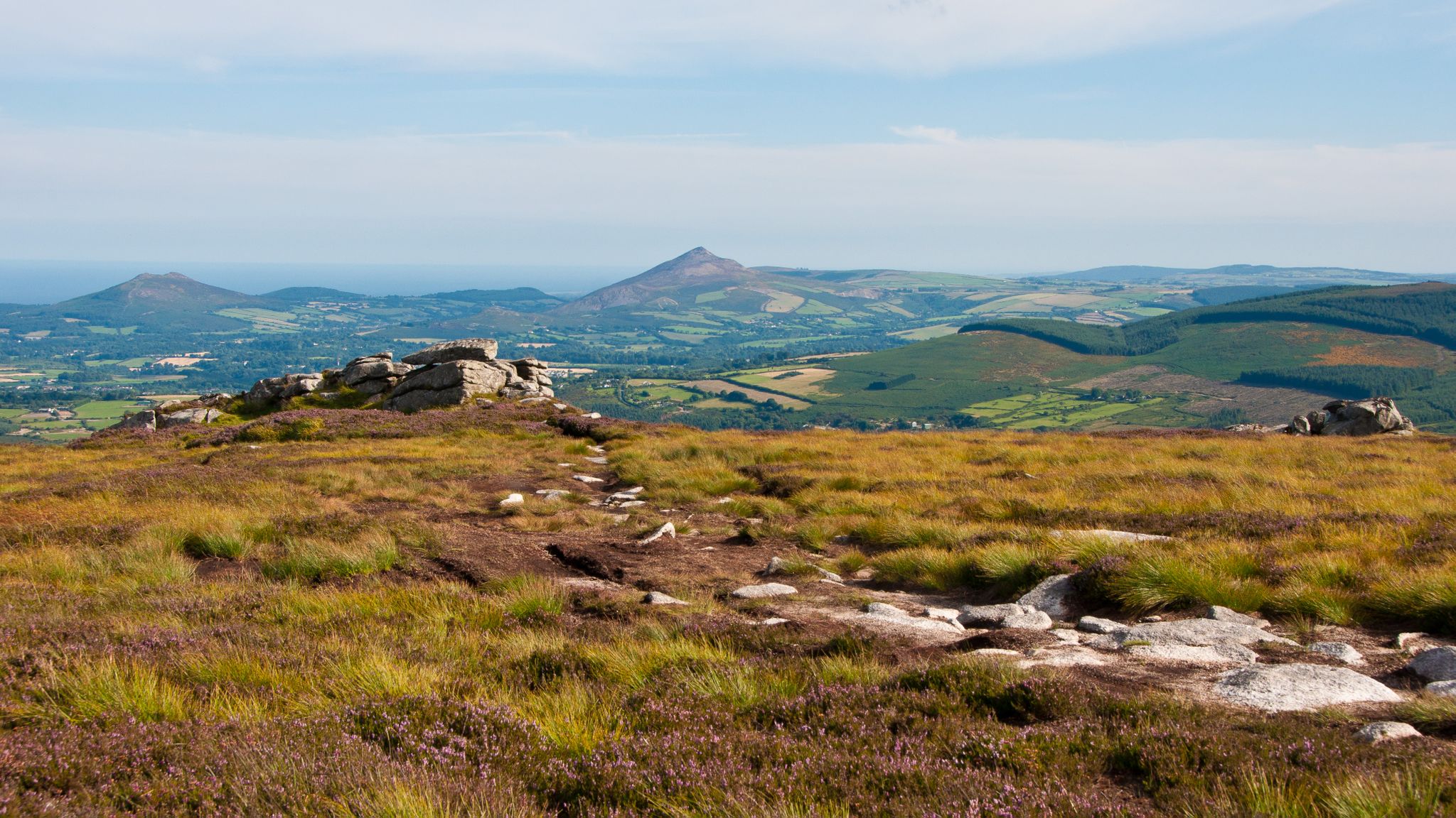
The Wicklow Way — discover Ireland's east
Dublin Mountains Way – hiking from city to summit
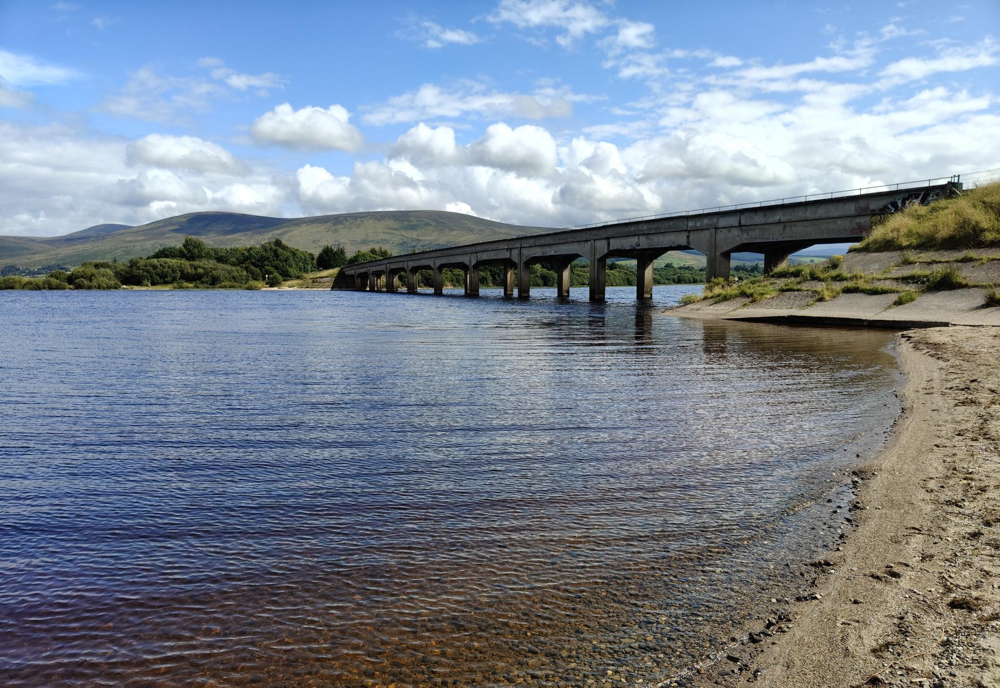
Lough shores and country roads – Blessington Loop

Follow the water - Along Ireland's rivers and lakes
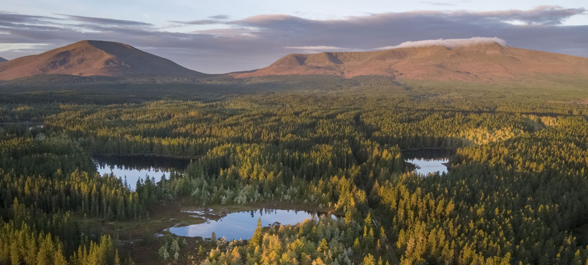
Discover Ireland's unspoilt nature in its national parks

Ireland's blue rivers and lakes – walks along the water

Discover Ireland's past – historical walks on the Emerald Isle
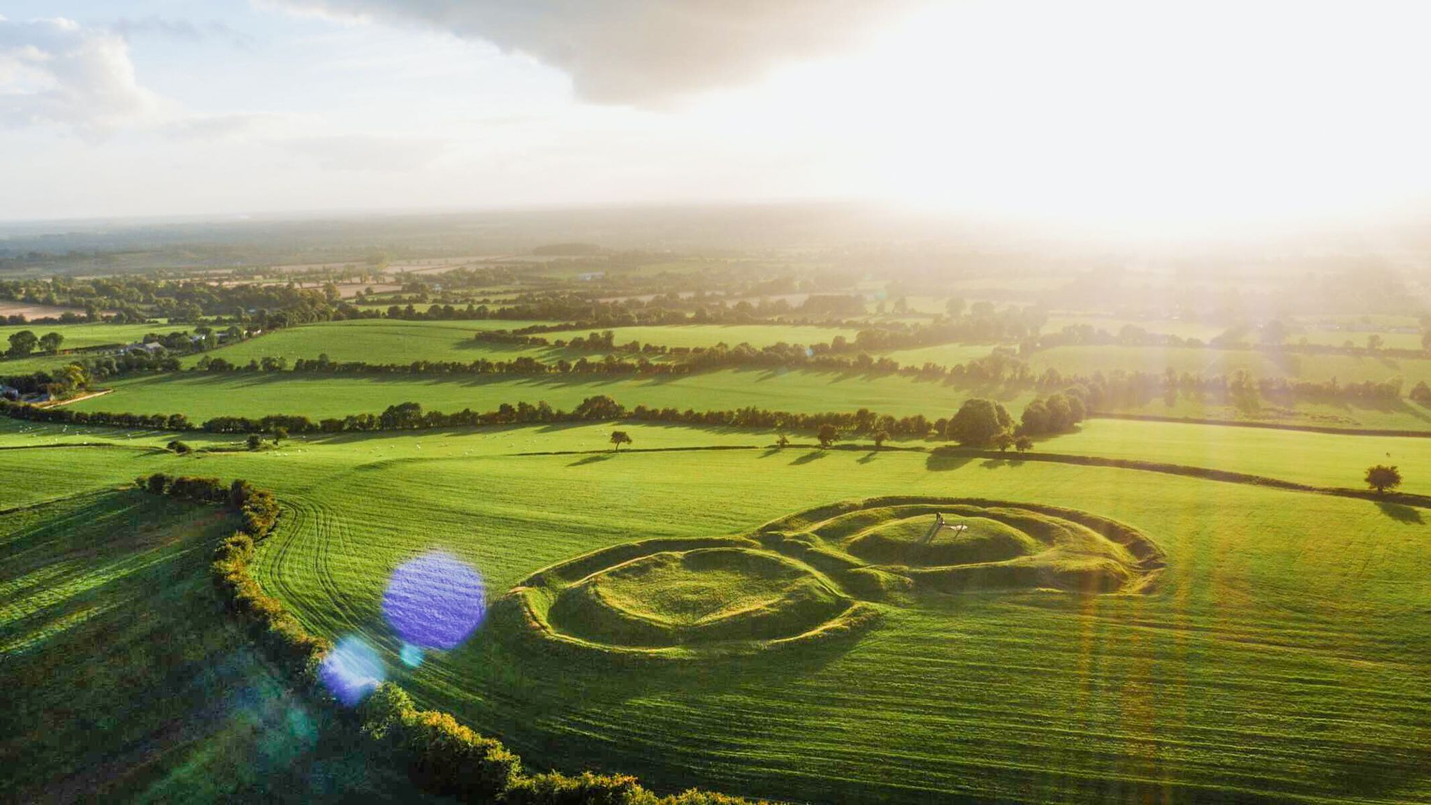
The magical east of Ireland – ancient places, scenic lakes and rocky mountains
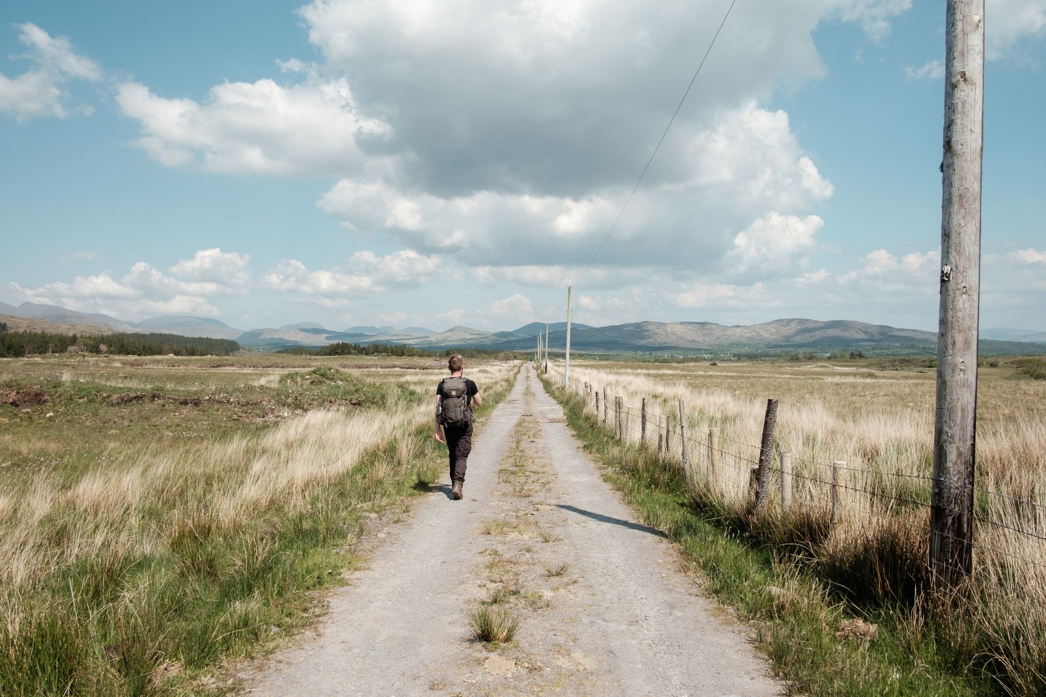
Irish wanderlust — 8 long-distance hiking trails on the Emerald Isle
Other adventures in the Wicklow Mountains National Park


Tips from the Community

Croghan Kinsella stands at 606 m (1,988 ft). It's position in the far southeast of the Wicklow Mountains means there are great views east over Arklow and out to sea and south across the lower lands. Most people climb from the east but there are also nice trails from the west.
0
0

The Upper Reservoir is the highest lake in the Glenasmole valley and feels a lot wilder and more remote than its lower neighbour. At this point on the south-eastern shore, you are riding deep into the heart of the catchment area, where the wooded slopes of the Dublin Mountains seem to drop straight into the deep, dark water.
9
0
A long reservoir area in the quiet Glenasmole valley, where wide gravel paths run completely car-free along the Upper and Lower Reservoirs. The landscape combines open water, pine forest and rugged hills, with regular sightlines towards the Dublin Mountains. The route is flat and quiet, ideal as an introduction to the mountain area or as a relaxing nature section on a longer tour. Birds, waterfowl and sometimes deer on the slopes give the area a distinct nature reserve feel.
7
0

Did the loop today bottom part was very wet, boggy under foot so make sure you were good footwear. Climb up Djouce was straight forward but the loop was difficult.
0
0

A great view overlooking the Glensoulan Valley with the Powerscourt Waterfall in the distance. At 121 m (397 feet) high, the waterfall is the second highest in Ireland. The waterfall is surrounded by Djouce and Maulin mountains which stand proudly in the spectacular landscape.
0
0

Nice view (sometimes only on the 3rd attempt did I really get a view) can also be very windy with rain from the site
0
0

This pretty little brook runs through the woodland of Massy's Estate. A trail, part of the Dublin Mountains Way, follows its course for some distance and it makes for a great running companion. Close to the capital, Massy's Estate is a popular location for runners and hikers alike.
0
0
Frequently Asked Questions
How many running routes are available in Wicklow Mountains National Park?
There are over 240 running routes in Wicklow Mountains National Park, offering a wide variety of options for different fitness levels and preferences. These include everything from accessible paths to more technical mountain trails.
Are there easy or beginner-friendly jogging routes in the park?
Yes, the park offers 14 easy routes suitable for beginners or those looking for a more relaxed run. While specific easy routes aren't highlighted in the top picks, many trails around Glendalough's Lower Lake or sections of the Wicklow Way offer gentler terrain. For a moderate option, consider the Wicklow Way loop from Marlay Park, which is 7.1 km long.
What kind of terrain can I expect on the running trails in Wicklow Mountains National Park?
Joggers can expect a diverse range of terrain, from mostly paved surfaces and accessible paths to pristine forest trails, ancient oak woodlands, and more technical mountain routes with significant elevation gains. The landscape is shaped by ancient granite and glacial activity, featuring sweeping valleys, heather-covered peaks, and expansive boglands.
Are there any circular running routes in the Wicklow Mountains National Park?
Yes, many routes in the park are circular. For example, the popular Bohernabreena Reservoirs running loop is a challenging 15.7 km circular path around tranquil reservoirs. The Croghan Mountain — Bann River and Croghan Trail running loop is another challenging 10.3 km circular option.
What natural features or landmarks can I see while running in the park?
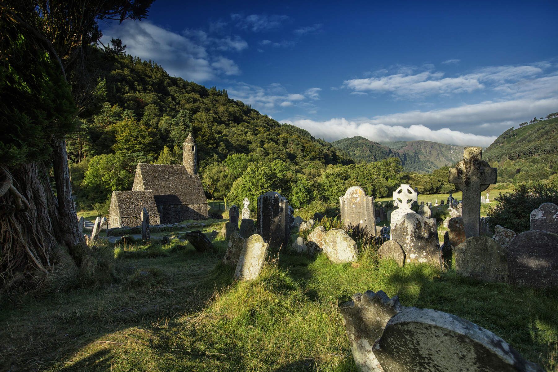
The park is rich in natural beauty and historical sites. You can encounter stunning mountain vistas, glacial valleys like Glendalough with its two picturesque lakes, and cascading waterfalls such as Poulanass Waterfall. Historical sites include the 6th-century Glendalough Monastic Settlement. You might also spot wild deer, especially around areas like Brown Mountain. Notable valleys to explore include Glencree Valley and Glenmalure Valley.
Are there any running routes that feature waterfalls?
Yes, several routes offer views of waterfalls. The Glendalough Spink Trail, a difficult 9.5 km route, provides panoramic views of Glendalough's lakes and includes a waterfall. Poulanass Waterfall is also a prominent feature in the park, and Powerscourt Waterfall, Ireland's second-highest, is nearby.
What do other runners say about the trails in Wicklow Mountains National Park?
The running routes in Wicklow Mountains National Park are highly rated by the komoot community, with an average score of 4.3 stars from over 20 reviews. More than 4,700 runners have used komoot to explore the park's varied terrain, often praising the stunning mountain views, serene woodlands, and the challenge offered by the diverse trails.
Are there any challenging routes for experienced trail runners?
Absolutely. The park is known for its more technical mountain routes with significant elevation gains. The Glendalough Spink Trail is a difficult 9.5 km route with over 300 meters of elevation gain. The Bohernabreena Reservoirs running loop is another difficult option at 15.7 km. Sections of the 130-kilometer Wicklow Way also provide excellent challenges for long-distance trail running.
Is public transport available to access jogging routes in the Wicklow Mountains National Park?
While the park offers a true wilderness escape, it is easily accessible from Dublin. Specific public transport options vary by trailhead, but bus services can reach key access points like Glendalough. It's advisable to check local bus schedules for the most up-to-date information on reaching specific starting points for your chosen running route.
Can I find routes that offer great viewpoints for scenic runs?
Yes, the Wicklow Mountains National Park is renowned for its spectacular viewpoints. Djouce Mountain offers panoramic views from its summit. The Glendalough Spink Trail provides sweeping views of Glendalough's lakes and surrounding mountains. The Dublin Mountains Way Hellfire & Massey Spur also offers views, including from the historic Hellfire Club.
Are there any specific areas for running that are particularly scenic?
Glendalough, known as 'the valley of two lakes,' is particularly picturesque with its Upper and Lower Lakes and surrounding boardwalks. The Great Military Road and Sally Gap also offer scenic drives through wide, rolling mountain scenery, with many trails branching off them. The park's diverse landscapes, from mountain vistas to ancient woodlands, ensure scenic beauty on almost any trail.
What is the best time of year to go running in the Wicklow Mountains National Park?
The park is beautiful year-round, but spring and autumn offer particularly pleasant conditions with milder temperatures and stunning natural colors. Summer provides longer daylight hours, while winter can be challenging with colder weather and potentially icy or muddy trails, though it offers a unique, stark beauty. Always check local weather conditions before heading out.
Most popular routes in the Wicklow Mountains National Park
Most popular attractions in the Wicklow Mountains National Park

Get inspired with the komoot mobile app


Explore more
Browse the best Running Trails & Routes in other regions.
