The best walks and hikes in West Attica
4.6
(459)
4,725
hikers
16
hikes
Hiking in West Attica offers diverse landscapes, ranging from the expansive Mount Parnitha National Park to trails through pine forests and alongside streams. The region is characterized by lush green mountainsides, rocky peaks, and areas with running waters. Its terrain provides a variety of elevations and natural features for outdoor activities.
Best hiking trails in West Attica
- The most popular hiking route is Pan's Cave – Pan Cave loop from Municipality of Fyli, a 6.5 miles (10.5 km) trail…
Last updated: August 24, 2026
5.0
(9)
40
hikers
11.9km
04:17
720m
720m
Moderate hike. Good fitness required. Easily-accessible paths. Suitable for all skill levels.
5.0
(4)
7
hikers
10.8km
03:37
530m
530m
Moderate hike. Good fitness required. Easily-accessible paths. Suitable for all skill levels.

Sign up for free
11
hikers
13.9km
04:18
480m
480m
Moderate hike. Good fitness required. Easily-accessible paths. Suitable for all skill levels.
5.0
(1)
4
hikers
11.7km
03:45
470m
470m
Moderate hike. Good fitness required. Easily-accessible paths. Suitable for all skill levels.
3.5
(4)
14
hikers
16.2km
05:30
810m
810m
Hard hike. Very good fitness required. Easily-accessible paths. Suitable for all skill levels.
1.0
(1)
9
hikers
9.49km
03:31
560m
560m
Hard hike. Good fitness required. Sure-footedness, sturdy shoes and alpine experience required.
2.0
(1)
7
hikers
12.9km
04:14
610m
610m
Moderate hike. Good fitness required. Easily-accessible paths. Suitable for all skill levels.
1.0
(1)
10
hikers
6.87km
02:40
450m
450m
Hard hike. Good fitness required. Sure-footedness, sturdy shoes and alpine experience required.
5.0
(1)
8
hikers
4.46km
01:27
190m
190m
Easy hike. Great for any fitness level. Easily-accessible paths. Suitable for all skill levels.
Hard hike. Very good fitness required. Easily-accessible paths. Suitable for all skill levels.
Get access to more routes and recommendations from other explorers.
Sign up for free
Already have an account?
Our route recommendations are based on thousands of hikes, rides, and runs completed by other people on komoot.
Start today with a free account
Your next adventure awaits.
Login or Signup
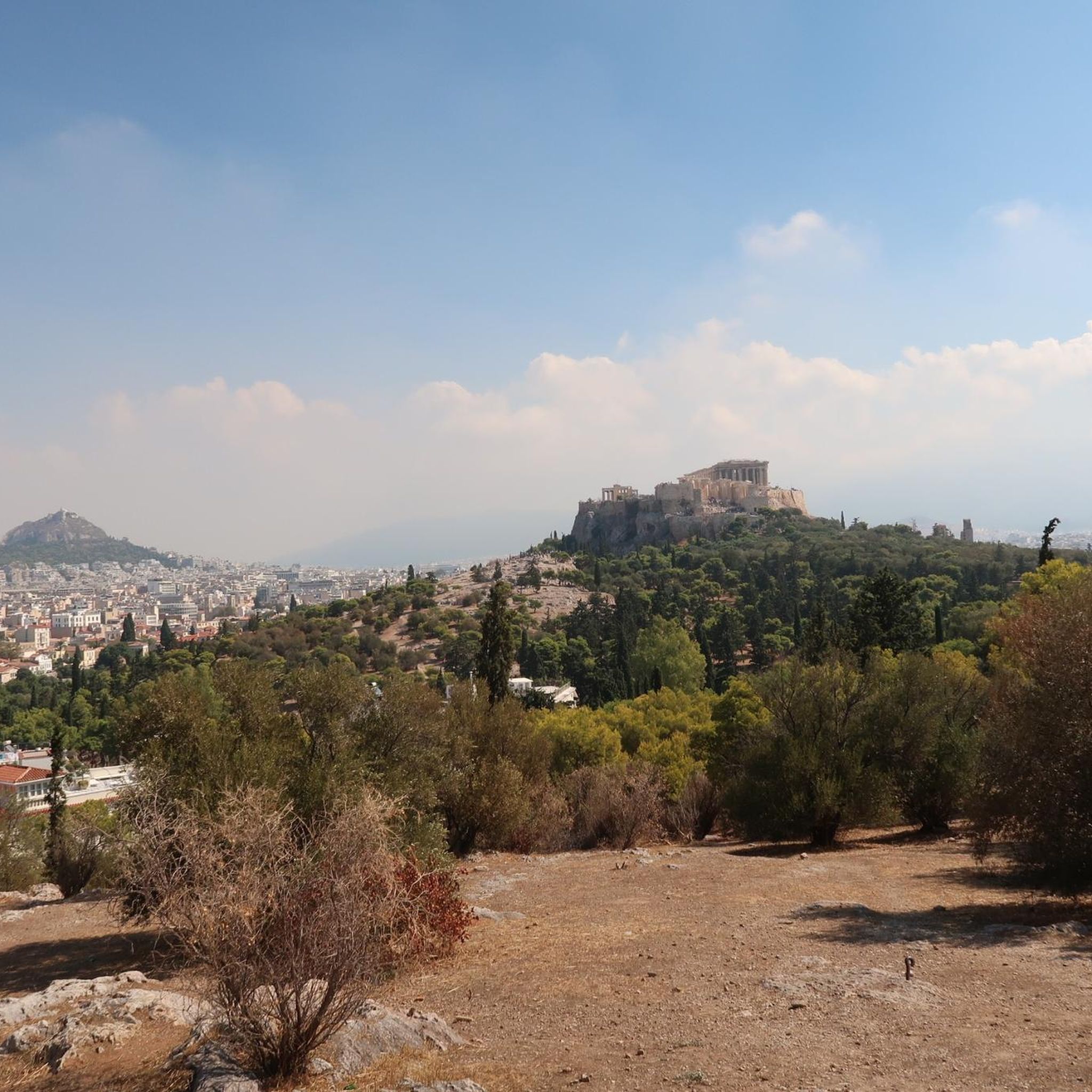
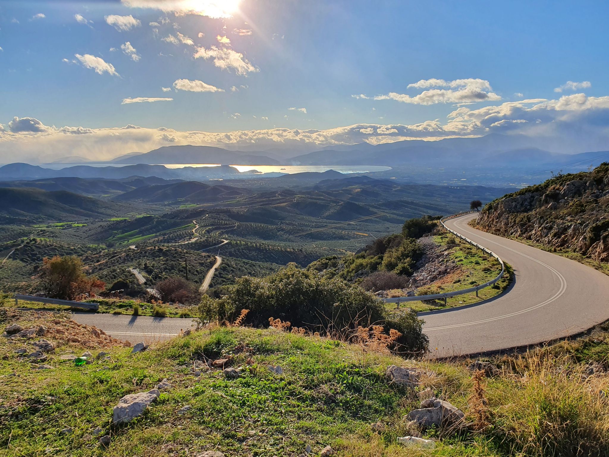
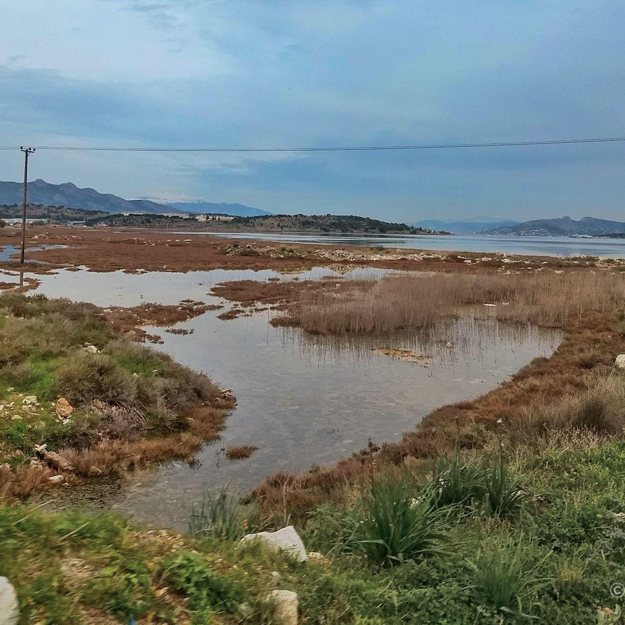
Other adventures in West Attica

Tips from the Community

There is a water source at the small chapel
1
0

Fortress of the 4th c. B.C. that controls the highland pass between Attica and Boeotia. It is situated about 1 km SW of the ancient demos of Phyle. It has an irregular elliptical plan measuring 95x30 m. Its wall, which reaches up to sixteen courses in height, is constructed in the isodomic system and runs round part of the hill, at the north , east and south sides, as the precipitous west and southwest sides were left unwalled. The main gate, which has collapsed, is located on the eastern side, while still stand the smaller southern gate with its lintel. The fortress is defended by means of four impressive towers all extending beyond the outer perimeter of the wall, three of which are rectangular and one circular. The circular one is the most imposing of all, with a diameter of 6 m, and protected the most vulnerable northern side. The ruins of a few buildings, probably intended to house the garrison, can be discerned inside the fortress. http://odysseus.culture.gr/h/3/eh352.jsp?obj_id=19835
1
0
Unfortunately, the tables are past their best.
1
0

This is not Pan's cave. It's a sign which guides you to Pan's cave. The cave is farther.
3
0

If you are not very experienced, do not follow the yellow (S) path
2
0

Panos Cave - Spilaio Panos Cave
2
0
Frequently Asked Questions
What kind of terrain can I expect when hiking in West Attica?
West Attica offers a diverse range of landscapes for hikers. You'll find trails through lush pine forests, alongside flowing streams, and up to dramatic rocky peaks, especially within the expansive Mount Parnitha National Park. The region is characterized by green mountainsides and varied elevations, providing a rich natural experience.
Are there hiking options for beginners or families in West Attica?
Yes, West Attica provides trails suitable for various fitness levels. While many routes offer a challenge, there are 3 easy routes available, perfect for beginners or families looking for a more relaxed walk. For example, the Pan Cave loop from Community of Fili is an easy option.
How many hiking trails are available in West Attica?
There are 17 hiking routes documented in West Attica, offering a wide selection for different preferences and skill levels. These include 3 easy, 6 moderate, and 8 difficult trails.
What is the best time of year to go hiking in West Attica?
West Attica is enjoyable for hiking throughout much of the year. Spring and autumn offer pleasant temperatures and vibrant scenery, making them ideal. Even winter can be suitable for hiking, especially on lower elevation trails, though higher mountain areas might require more preparation.
Are there any circular hiking routes in West Attica?
Yes, many of the hiking trails in West Attica are circular, allowing you to start and end at the same point. Examples include the moderate Phyle Fortress – Forest Boulder Altar loop from Fyli and the more challenging Pan's Cave – Pan Cave loop from Municipality of Fyli.
What natural features or wildlife might I encounter on the trails?
Hiking in West Attica offers opportunities to experience beautiful natural features. You'll find lush pine forests, flowing streams, and panoramic viewpoints. Mount Parnitha National Park is particularly notable, as it is home to wonderful red deer, which hikers may occasionally encounter along the trails.
Are there any historical landmarks or attractions along the hiking routes?
Yes, West Attica's hiking routes are often enriched with historical landmarks. You can discover ancient ruins, monasteries, and archaeological sites. Notable examples include Fort Phyle, which is part of the Phyle Fortress – Forest Boulder Altar loop from Fyli. You can also explore other attractions like the Skironio Museum Polychronopoulos or enjoy the Scenic coastal road below the Koryfí Kavelári mountains.
What do other hikers enjoy most about hiking in West Attica?
The hiking routes in West Attica are highly rated by the komoot community, with an average score of 4.4 stars from over 280 reviews. Hikers often praise the region's diverse mountainous terrain, the beauty of the pine forests, and the presence of historical landmarks like Fort Phyle, which add a unique dimension to their outdoor adventures.
Are there any refuges or facilities available on Mount Parnitha?
Yes, Mount Parnitha features the Bafi and Flabouri refuges. These serve as excellent hubs for hikers, offering amenities such as accommodation and meals. They also organize trekking excursions, providing guided hikes and various routes, including day and evening options.
Are there any trails that offer great views?
Absolutely. Many trails in West Attica, especially those in Mount Parnitha National Park, offer breathtaking panoramic views. The Pan Cave – View of Mount Parnitha loop from Municipality of Fyli is a moderate route specifically designed to showcase the stunning vistas of the mountain.
What is the longest hiking trail in West Attica?
One of the longer and more challenging routes is the Parnitha National Park – View of Mount Parnitha loop from Municipal Unit of Ano Liosia, which covers approximately 16.7 km and involves significant elevation gain, making it a difficult but rewarding option for experienced hikers.
Are there any routes that pass by water features like springs or streams?
Yes, West Attica's mountains are known for their running waters. Mount Parnitha, in particular, features numerous springs, and many trails guide hikers alongside flowing streams. The Mola Kalavryta Trail, for instance, is noted for its path through pine forests and past streams.
Most popular routes in West Attica
Most popular attractions in West Attica

Get inspired with the komoot mobile app


Didn’t find what you were looking for?
Check out more Hikes throughout West Attica below and find the perfect route in your destination.
Explore more
Browse the best Hikes in other regions.
