The best walks and hikes around Weinolsheim
4.5
(4885)
20,345
hikers
786
hikes
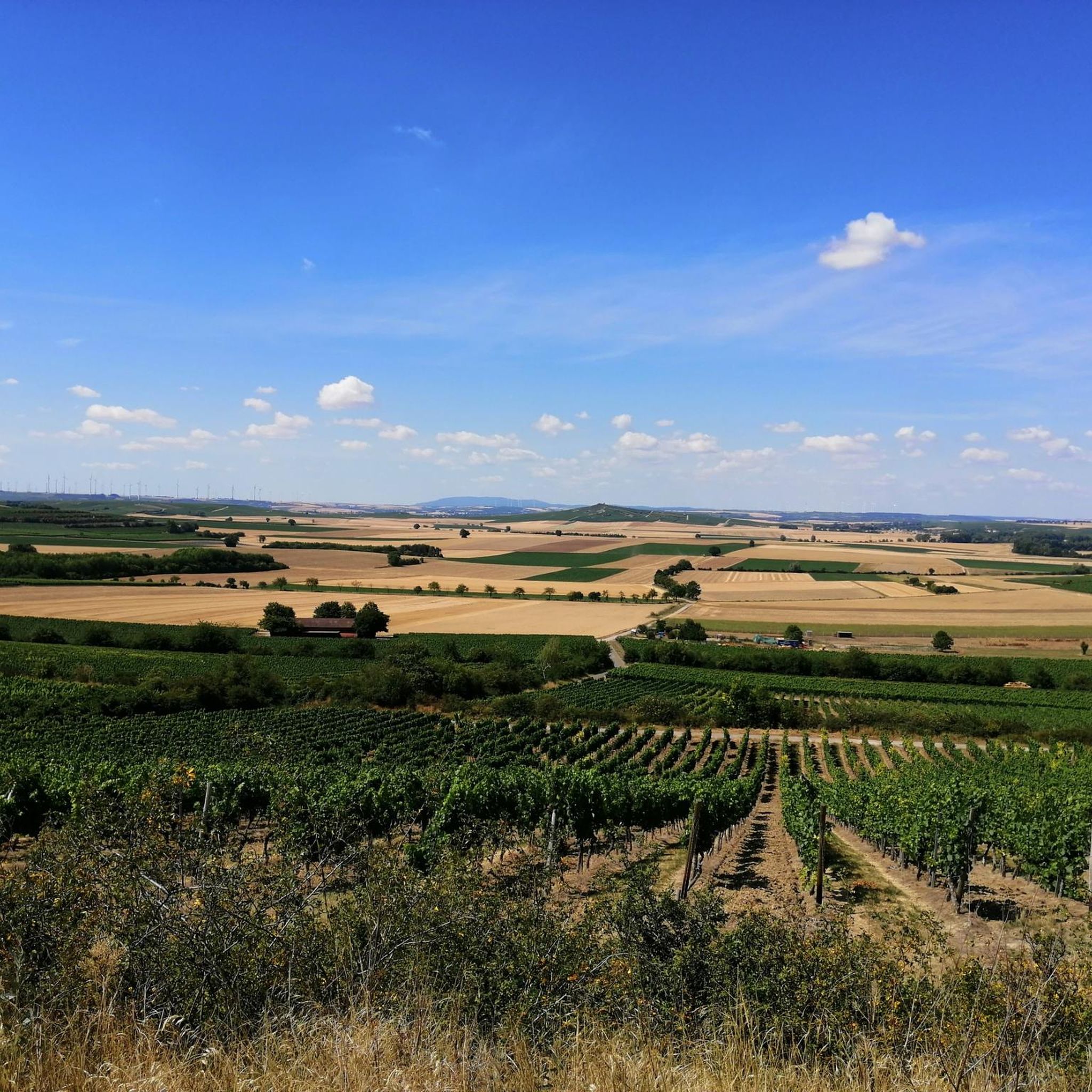
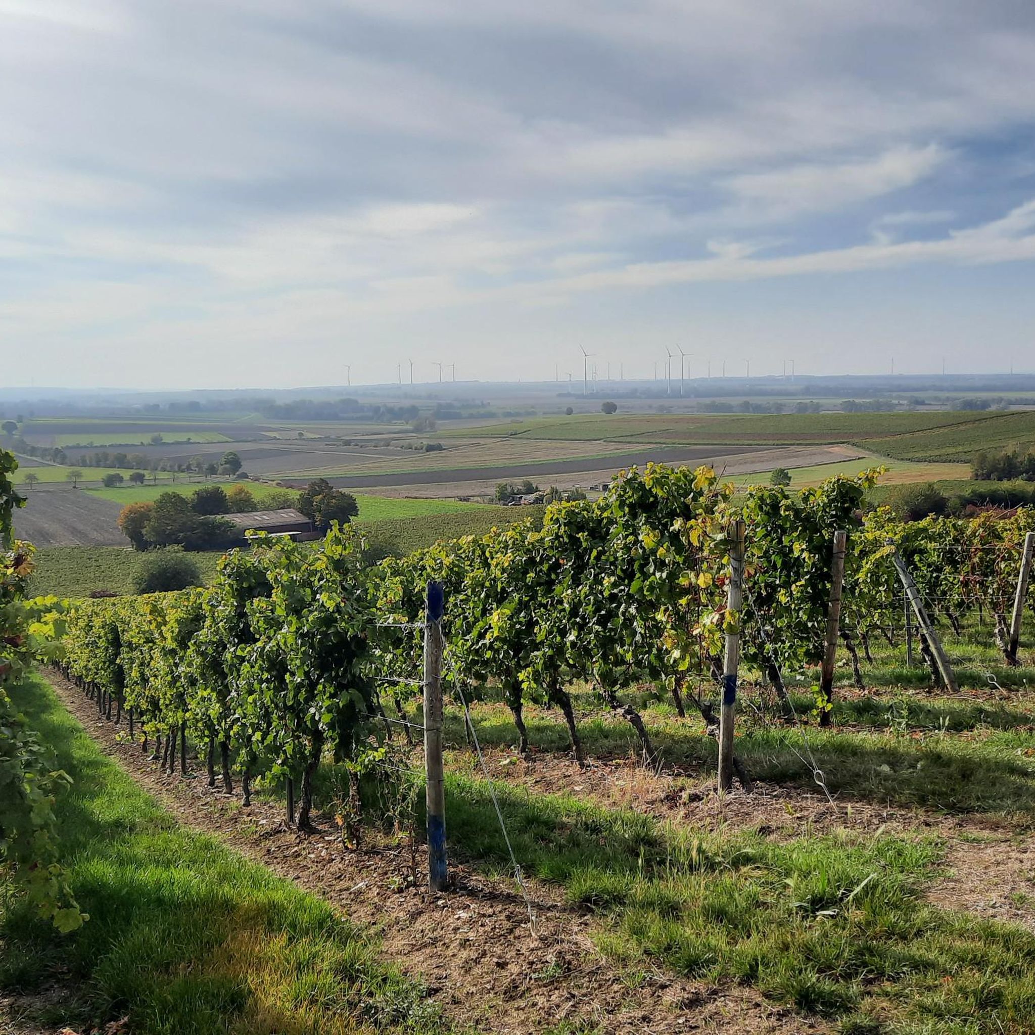
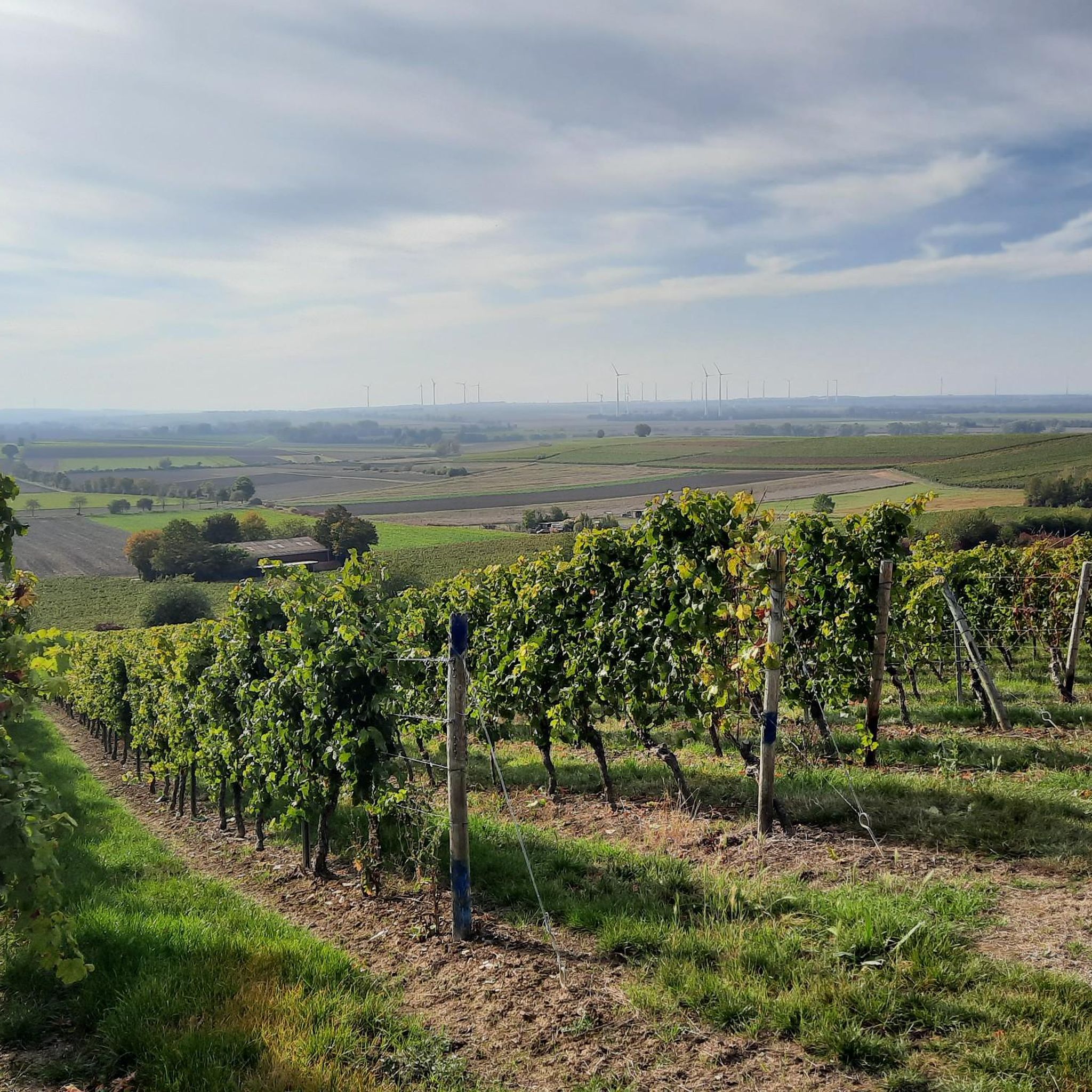
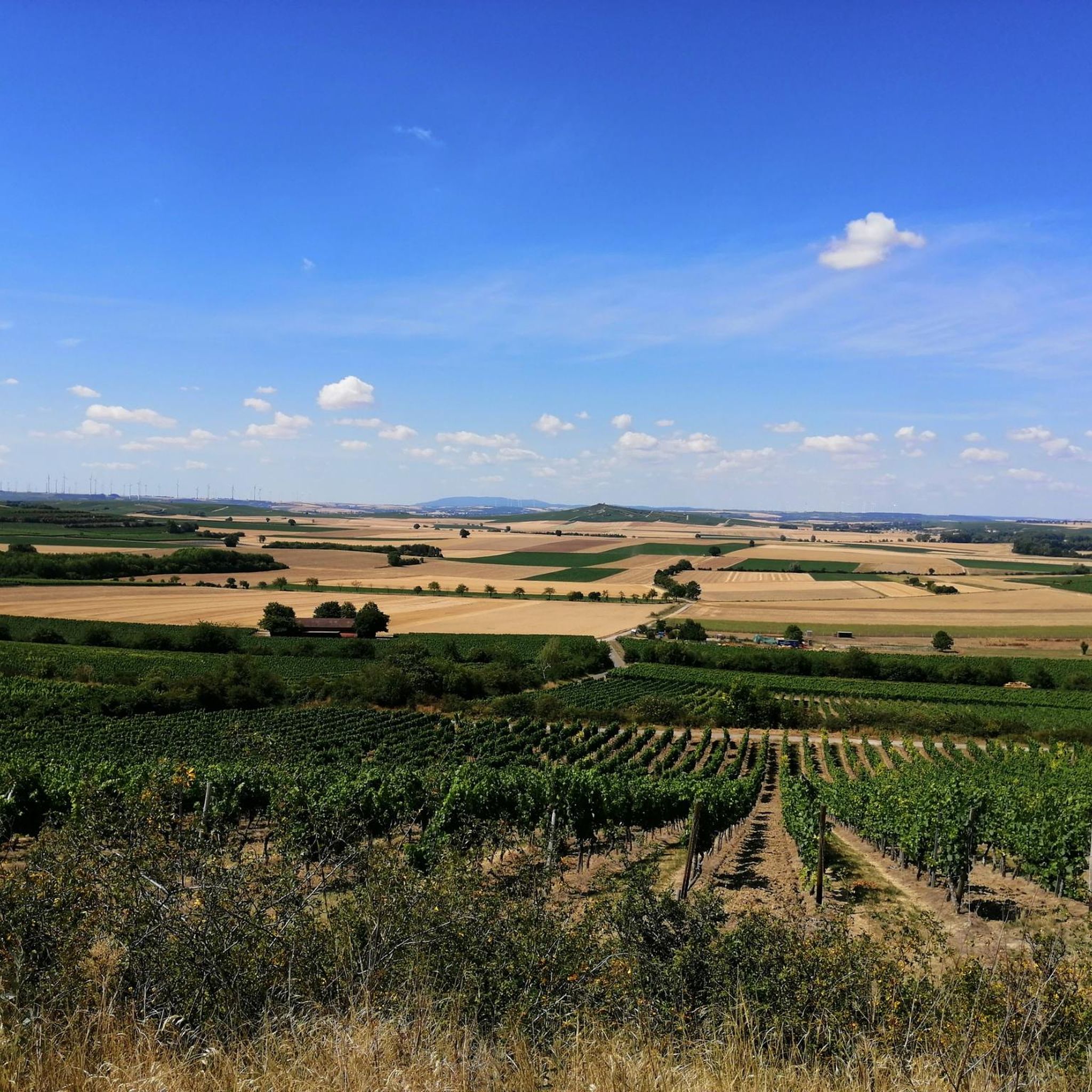
Hiking around Weinolsheim offers routes through the Rhenish-Hessian winegrowing region, characterized by expansive vineyard-covered hills. The landscape features unique loess gorges, also known as sunken lanes, which create distinctive paths. Many trails provide views of the Rhine River and its surrounding terraces, combining elevated vineyard paths with proximity to the river. The area provides a varied and engaging hiking experience.
Best hiking trails around Weinolsheim
- The most popular hiking route is Roman Tower, Guntersblum – Graunsberghäuschen Picnic Area loop from…
Last updated: October 3, 2026
4.6
(9)
19
hikers
Moderate hike. Good fitness required. Easily-accessible paths. Suitable for all skill levels.
4.0
(4)
8
hikers
10.8km
02:50
90m
90m
Moderate hike. Good fitness required. Easily-accessible paths. Suitable for all skill levels.

4.0
(1)
2
hikers
19.8km
05:15
200m
200m
Hard hike. Very good fitness required. Easily-accessible paths. Suitable for all skill levels.
4.3
(3)
6
hikers
5.19km
01:25
80m
80m
Easy hike. Great for any fitness level. Easily-accessible paths. Suitable for all skill levels.
5
hikers
Moderate hike. Good fitness required. Easily-accessible paths. Suitable for all skill levels.
Get access to more routes and recommendations from other explorers.
Already have an account?
Our route recommendations are based on thousands of hikes, rides, and runs completed by other people on komoot.
Start today with a free account
Your next adventure awaits.

Tips from the Community

The small spring is one of the highlights of the Vögelsgärten circular trail around Guntersblum. Over a distance of 10 kilometers, you can experience all the landscape features of the Rhine terrace.
0
0
The very beautiful St. Catherine's Church in Oppenheim sits majestically above the village, which houses a huge labyrinth of cellars.
0
0

Oppenheim invites you to visit
0
0
Oppenheim greets from afar
0
0

The tower offers a great view.
0
0

Just go in and relax
0
0

The Falkenberg Hut is picturesquely situated above Dienheim in Rheinhessen and is a popular rest stop along the RheinTerrassenWeg (Rhine Terrace Trail). It was donated by the Dienheim Development Community and offers stunning views of Oppenheim, Dienheim, and the Rhine Valley through two large panoramic windows. The hut is ideal for a break during a hike or bike ride – quietly located, with beautiful views, and surrounded by vineyards. It's a perfect place to pause for a moment and enjoy the scenery.
1
0

A great place for a break
1
0
Frequently Asked Questions
What types of hiking trails can I find around Weinolsheim?
Weinolsheim offers a diverse network of hiking trails, primarily characterized by vineyard-covered hills, unique loess gorges (sunken lanes), and expansive views of the Rhine River. You'll find routes ranging from easy strolls to more challenging hikes, with over 700 tours available in the area.
Are there any easy hiking routes suitable for beginners or casual walkers?
Yes, Weinolsheim has numerous easy routes. For example, the Weingut Manz loop from Weinolsheim is an easy 5.2 km trail that takes approximately 1 hour 40 minutes, perfect for a relaxed walk through the vineyards.
Can I find circular hiking routes in Weinolsheim?
Many of the hiking routes around Weinolsheim are circular, allowing you to start and end at the same point. A popular moderate circular route is the Roman Tower, Guntersblum – Graunsberghäuschen Picnic Area loop, which covers 12.1 km.
What are some notable natural features or landscapes I'll encounter on the trails?
The region is famous for its extensive vineyard-covered hills, offering picturesque views, especially during growing seasons. You'll also encounter unique loess gorges, such as the 'Alsheim Sunken Lanes,' which are dramatic, high-walled paths formed by centuries of erosion. Many elevated paths also provide impressive vistas of the Rhine River.
Are there any historical sites or landmarks to see while hiking?
Yes, the area around Weinolsheim offers several interesting landmarks. You can explore historical sites like the Landskron Castle Ruins or the Schwabsburg Keep. Many routes also pass through charming wine villages, offering a glimpse into the local culture.
What do other hikers say about the trails in Weinolsheim?
The hiking trails in Weinolsheim are highly regarded by the komoot community, with an average rating of 4.6 out of 5 stars from over 4,000 reviews. Hikers often praise the scenic vineyard landscapes, the well-maintained paths, and the diverse views of the Rhine River and surrounding countryside.
Are there any viewpoints or scenic spots along the hiking routes?
Absolutely. The region is rich in scenic viewpoints. The 'Weinolsheimer Kehr' vineyard offers a rest stop with excellent views. You can also find dedicated viewpoints like the Königstuhl Lookout Tower or the View from Brudersberg – Rheinhessen’s Most Beautiful Wine View, providing expansive vistas of the vineyards and the Rhine.
What is the best time of year to go hiking in Weinolsheim?
Hiking in Weinolsheim is enjoyable throughout much of the year. Spring and autumn are particularly popular, as the vineyards are either blooming or showcasing vibrant fall colors. The weather is generally milder during these seasons, making for comfortable hiking conditions. Summer also offers beautiful scenery, though it can be warmer.
Are there any longer or more challenging hikes available?
For those seeking a greater challenge, Weinolsheim offers more demanding routes. The View of Oppenheim – Roman Tower, Guntersblum loop from Weinolsheim is a difficult 19.8 km trail that typically takes over 5 hours to complete, leading through varied vineyard landscapes and offering distant views.
Are the hiking trails around Weinolsheim suitable for families with children?
Many of the easier and moderate trails are suitable for families, especially those that are shorter and have less elevation gain. The vineyard paths are generally well-maintained. It's always recommended to check the specific route details for distance and difficulty to ensure it matches your family's capabilities.
Are dogs allowed on the hiking trails in Weinolsheim?
Generally, dogs are welcome on the hiking trails around Weinolsheim. The open vineyard landscapes and natural paths provide a great environment for walks with your canine companion. However, it's always advisable to keep dogs on a leash, especially when passing through vineyards or near agricultural areas, and to be mindful of local regulations.
Where can I find places to rest or have a picnic along the trails?
The region offers several spots for rest and picnics. Many routes pass through wine villages where you can find local establishments. Additionally, there are designated picnic areas, such as the Graunsberghäuschen Picnic Area, and huts like the Leckbartsheisje on the Rhine Terrace Trail, which provide places to pause and enjoy the scenery.
Most popular routes around Weinolsheim
Most popular attractions around Weinolsheim

Get inspired with the komoot mobile app


Explore more
Browse the best Hikes in other regions.
