The best MTB trails around Wehingen
4.4
(98)
232
riders
20
rides
Mountain biking around Wehingen offers diverse terrain within Germany's Swabian Alb region. The area features rolling hills, dramatic escarpments, and significant natural features like the Lemberg, the highest mountain in the Swabian Alb. Riders can expect varied landscapes, from the Heuberg plateau to sections of the Upper Danube Valley, providing both challenging singletracks and scenic routes. The region's geological formations contribute to a dynamic environment suitable for mountain biking.
Best mountain bike trails around Wehingen
- The most popular mountain bike…
Last updated: October 8, 2026
4.8
(24)
43
riders
53.8km
03:51
690m
680m
Moderate mountain bike ride. Good fitness required. Advanced riding skills necessary.
4.6
(18)
39
riders
47.6km
03:21
640m
640m
Moderate mountain bike ride. Good fitness required. Advanced riding skills necessary.

4.6
(32)
82
riders
27.8km
02:33
730m
730m
Moderate mountain bike ride. Good fitness required. Suitable for all skill levels.
4.2
(5)
11
riders
21.9km
01:28
300m
300m
Moderate mountain bike ride. Good fitness required. Suitable for all skill levels.
7
riders
20.0km
01:23
280m
290m
Easy mountain bike ride. Great for any fitness level. Suitable for all skill levels.
Get access to more routes and recommendations from other explorers.
Already have an account?
Our route recommendations are based on thousands of hikes, rides, and runs completed by other people on komoot.
Start today with a free account
Your next adventure awaits.



Tips from the Community

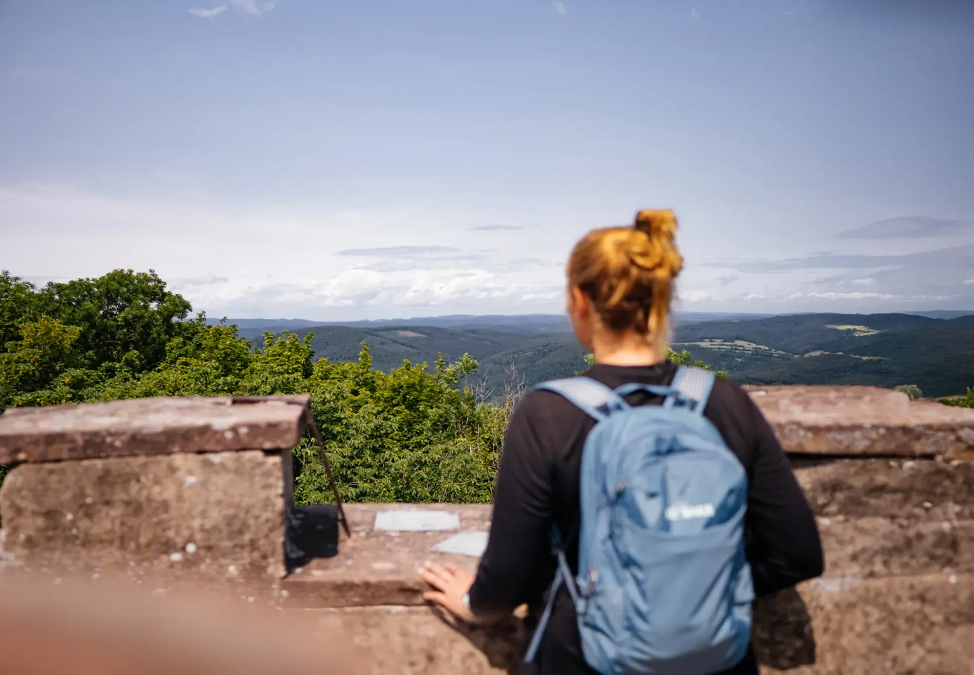
Mega view from 1,000 meters altitude over Baar and the Black Forest.
3
0
From the Weißen Kreuz, at 1,001 meters high, the view is magnificent.
3
0
In good weather, you have a very wide view here of the Alb plateau near Spaichingen.
3
0
Grandiose view, but very steep ascent by bike from Gosheim. The Klippeneck is one of the highest elevations on the Swabian Jura.
3
0

From the Hummelberg, the actual Bäratal is not visible (Reichenbach, Nusplingen etc.). I know the spot very well. But you have a nice view of Gosheim and the Lemberg with its companions and in the direction of Rottweil. It is definitely worth it.
0
0

When you speak of Schloss Mühlheim and the Oberstadt, you most likely mean the idyllic ensemble in Mühlheim an der Donau (Baden-Württemberg). It is a real gem for fans of medieval flair and baroque elegance.
0
0

Beautiful destination with/for children: Miniature village with children's railway and petting zoo - Schömberg - Zollernalbkreis
1
0
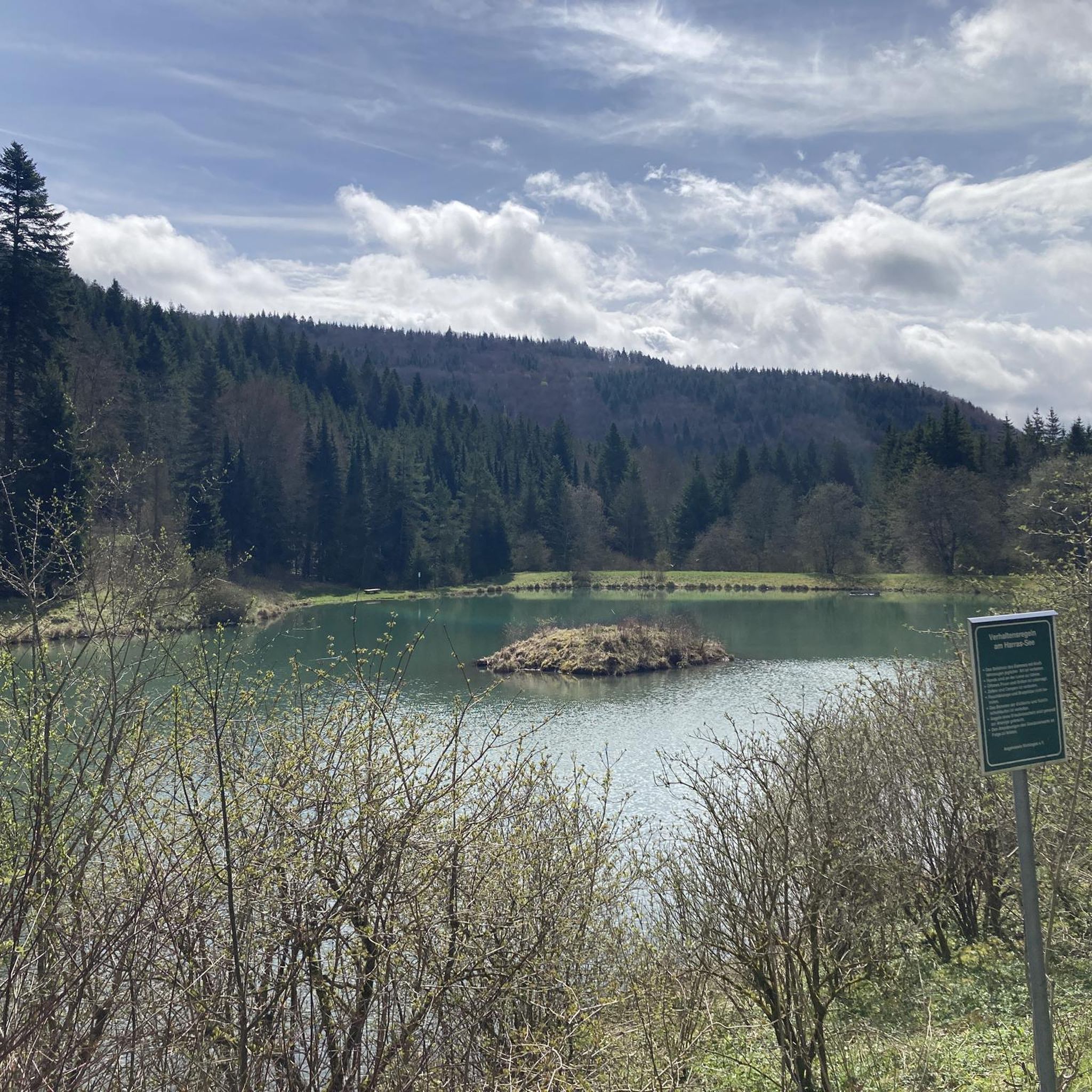
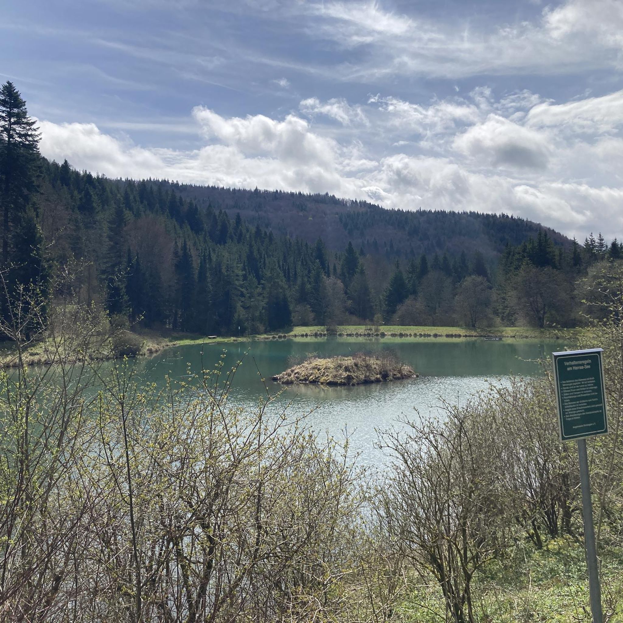
The Schlichemtalsperre (also known as Schömberger Stausee, mostly just called Stausee locally) east of Schömberg in Baden-Württemberg dams the Schlichem, a tributary of the Neckar coming from the Swabian Jura. The 90.6 ha Schömberger Stausee mit Palmbühl landscape protection area surrounds the Schlichemtalsperre. The approximately 1.35 km long and initially narrow reservoir, widening to about 175 m towards the end, with an area of 10.4 ha at 643.8 m above sea level (NHN), begins at the hamlet of Untere Säge and extends to the old town center of Schömberg. It has a catchment area of about 33.5 km², to which the Schlichem, over 11 km long at its inflow, contributes almost 90%. The watercourses Hölzlegraben from the forest to the right of the lake and Scheubühlgraben and Räßentälebach from the left, up to 1.2 km long, flow into it from the sides. A fish ladder leads from the Vorsee pre-reservoir near Untere Säge to the reservoir. There is also the only bridge over the lake that can be walked and driven on. The Schlichem Viaduct can only be used by the railway. The Schlichemtalsperre was built between 1940 and 1944. The Portlandzementwerk Rudolf Rohrbach KG (today Holcim (Süddeutschland) GmbH), based in neighboring Dotternhausen, which was the client for the dam, initially used it for cooling water supply and power generation. An outdoor swimming pool built in 1935 was flooded. After World War II, the facility was taken over by the state of Württemberg-Hohenzollern in 1948. The reservoir was renovated from 1975 to 1983. The barrier structure is an earth dam, and the hydropower plant within it has an output of 60 kW. There is a pre-reservoir, the Vorsee, which was built from 1975 to 1977. Source: https://de.wikipedia.org/wiki/Schlichemtalsperre
2
0
Frequently Asked Questions
How many mountain bike trails are available around Wehingen?
There are over 20 mountain bike trails around Wehingen listed on komoot, offering a wide range of options for different skill levels. These routes explore the diverse terrain of the Swabian Alb region.
What kind of terrain can I expect on mountain bike trails near Wehingen?
The terrain around Wehingen is characterized by the rolling hills and dramatic escarpments of the Swabian Alb. You'll find varied landscapes, from the Heuberg plateau to sections near the Upper Danube Valley, providing both challenging singletracks and scenic routes. Expect a mix of forest paths, gravel roads, and some unpaved, technical sections.
Are there mountain bike trails suitable for beginners or families in Wehingen?
Yes, while many routes are moderate, there are also options suitable for beginners. For example, the Lau Hut on Martinsberg – Herrasee loop from Wehingen is rated as easy, covering 12.4 miles (20 km) with manageable elevation changes. These trails are generally suitable for those looking for a less strenuous ride.
Where can I find challenging mountain bike routes around Wehingen?
For more advanced riders, Wehingen offers routes with significant climbs and technical sections. The View of Oberhohenberg – Schörzinger Hut loop from Wehingen is rated as difficult, featuring a 7.6-mile (12.3 km) ride with notable elevation. The region's geological formations contribute to a dynamic environment for experienced mountain bikers.
What are some notable landmarks or viewpoints I can see while mountain biking near Wehingen?
The region boasts several impressive landmarks and viewpoints. You can ride past the Oberhohenberg Suspension Bridge, visit the Lemberg Tower on the highest mountain in the Swabian Alb for panoramic views, or see the Lochenstein summit cross. Many routes offer stunning vistas of the Swabian Jura.
Are there any circular mountain bike routes in Wehingen?
Yes, many of the mountain bike trails around Wehingen are designed as loops, allowing you to start and end at the same point. Examples include the popular Gansnest Observation Tower – View of Wehingen loop from GVV Heuberg, a 33.4-mile (53.8 km) route, and the Mountainbike loop from Wehingen, which covers 16.0 miles (25.8 km).
What is the best time of year to go mountain biking in Wehingen?
The best time for mountain biking in Wehingen is typically from spring through autumn. During these seasons, the weather is generally favorable, and the trails are dry. While winter offers cross-country skiing on the Heuberg plateau, mountain biking conditions can be challenging due to snow and ice.
Are there places to stop for refreshments or shelter along the trails?
Yes, the area around Wehingen features several huts and shelters that can serve as resting points. You might encounter places like the Schörzinger Hut or the Lochenhütte Shelter. Some routes also pass through villages where cafes might be available.
What do other mountain bikers say about the trails in Wehingen?
The mountain bike trails around Wehingen are highly rated by the komoot community, with an average score of 4.3 stars from over 70 reviews. Riders often praise the varied terrain, the stunning panoramic views from peaks like Lemberg, and the well-maintained paths that cater to different skill levels.
Is there parking available near the mountain bike trails in Wehingen?
While specific parking locations are not detailed for every trail, Wehingen and its surrounding villages typically offer public parking options. It's advisable to check the starting points of individual routes on komoot for more precise parking information, as many trails begin near accessible areas.
Can I reach the mountain bike trails in Wehingen using public transport?
Wehingen is part of the regional public transport network, which can provide access to the area. However, direct access to specific trailheads via public transport might require some planning. It's recommended to check local bus schedules and connections to Wehingen and nearby towns, and then plan your ride from there.
Are there any trails that offer views of the Upper Danube Valley?
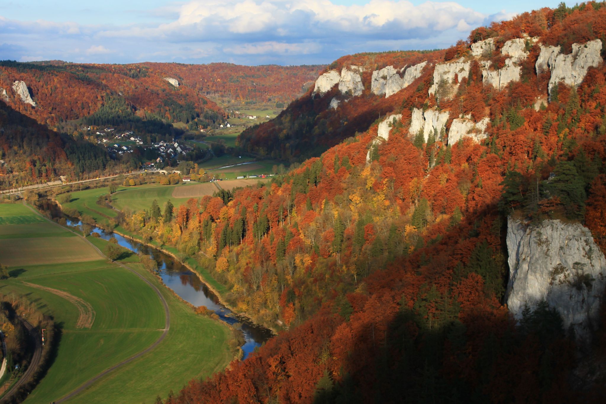
Yes, some mountain bike routes in the Wehingen area extend towards or offer views of the Upper Danube Valley. This conservation area is known for its dramatic cliffs and rich nature, providing a scenic backdrop for your ride. While specific routes are not listed, the region's proximity means many trails will offer glimpses of this beautiful landscape.
Most popular attractions around Wehingen

Get inspired with the komoot mobile app


Explore more
Browse the best MTB trails in other regions.
