The best traffic-free bike rides around Wehingen
4.5
(344)
3,941
riders
57
rides
Road cycling around Wehingen offers diverse terrain within the Swabian Alb, a low mountain range known for its scenic beauty. The region is situated amidst the "Region of the 10 Thousanders," featuring numerous peaks over 1,000 meters that provide significant elevation changes for cyclists. Proximity to the Upper Danube Valley adds impressive limestone cliffs and river landscapes to the cycling experience, with routes often incorporating sections of the Danube Cycle Path. This area is characterized by rolling hills, picturesque meadows, and dense forests, providing varied backdrops for no traffic road cycling routes.
Best no traffic road cycling routes around Wehingen
- The most popular no traffic road cycling route is Ascent to Kraftstein – Nendingen on the Danube loop from Böttingen, a 26.4 miles (42.5 km) trail that takes 2 hours 2 minutes to complete, featuring a notable ascent and views of the Danube.
- Another top favourite among local road cyclists is Schlichem Dam – Schömberg Reservoir loop from Weilen unter den Rinnen, a moderate 25.8 miles (41.5 km) path that circles the reservoir and dam through rolling terrain.
- Local road cyclists also love the Schömberg Reservoir – Schlichem Dam loop from Weilen unter den Rinnen, a 19.9 miles (32.0 km) trail leading through the scenic reservoir area, often completed in about 1 hour 38 minutes.
- Road cycling around Wehingen is defined by the high peaks of the Swabian Alb, the dramatic Upper Danube Valley, and extensive networks of well-paved roads. The region offers routes for various ability levels, from moderate loops around reservoirs to more challenging climbs.
- The routes in Wehingen are highly rated by the komoot community with an average score of 4.6 stars from over 300 reviews. More than 3,600 road cyclists have used komoot to explore Wehingen's varied terrain.
Last updated: June 27, 2026
3.5
(2)
33
riders
42.5km
02:03
470m
470m
Moderate road ride. Good fitness required. Mostly well-paved surfaces and easy to ride.
4.1
(10)
20
riders
41.5km
02:06
400m
400m
Moderate road ride. Good fitness required. Some segments of this route may be unpaved and difficult to ride.

Sign up for free
15
riders
32.0km
01:38
330m
330m
Moderate road ride. Good fitness required. Some segments of this route may be unpaved and difficult to ride.
4.8
(10)
15
riders
27.9km
01:25
420m
420m
Moderate road ride. Good fitness required. Mostly well-paved surfaces and easy to ride.
10
riders
66.6km
03:16
980m
970m
Hard road ride. Very good fitness required. Mostly well-paved surfaces and easy to ride.
Get access to more routes and recommendations from other explorers.
Sign up for free
Already have an account?
Our route recommendations are based on thousands of hikes, rides, and runs completed by other people on komoot.
Start today with a free account
Your next adventure awaits.
Login or Signup




Tips from the Community

The Church of St. Peter and Paul in Nusplingen, also known as the Old Cemetery Church, is dedicated to the apostles Peter and Paul. It dates back to a proprietary church of the local nobility from 650. Archaeological excavations uncovered foundations that are likely to originate from a secular building, but remains of a church space with graves also came to light. This suggests that it was a noble residence with its own church. The current church building was constructed around 1000. The western extension and the three-story choir tower date from 1250 and can thus still be attributed to the Romanesque period. Around 1300, the choir and the nave were rebuilt, incorporating Gothic style elements. The valuable lime paintings, which were uncovered in 1972–1975, date from this period. The tower was extended around 1500 with a half-timbered upper floor and received its current form with a hipped roof. The church contains valuable wooden sculptures from the Ulm School, Renaissance frescoes, and a Baroque coffered ceiling from 1711, which comes from the former Church of St. Catherine and was installed here in 1868. In the Middle Ages, the church was the parish church of Nusplingen and a large parish district. However, the church was located outside the walls of the town, which was considered a city at the time. In 1463, the chapels in Unterdigsheim and Hartheim belonged to the Nusplingen church. In 1459, the tithes in Ensisheim belonged to the church. In 1759, the parish rights were transferred to the Church of St. Catherine in the town, and the church remained only a cemetery church, where only funeral services were held. In 1829, the church was handed over to the secular community for a symbolic thaler, and its use initially remained unchanged. In 1950, the building also lost its function as a cemetery church and subsequently threatened to fall into disrepair. A support association for the preservation of this cultural monument ensured that a thorough restoration could be carried out from 1997 to 2003. The deconsecrated building was blessed again, but not consecrated. Since then, sacred and cultural events have been held here again. The church was designated "Monument of the Month March 2019" by the Monument Foundation of Baden-Württemberg. Source: https://de.wikipedia.org/wiki/St._Peter_und_Paul_(Nusplingen)
2
0
The Schlichemtalsperre (also known as Schömberger Stausee, mostly just called Stausee locally) east of Schömberg in Baden-Württemberg dams the Schlichem, a tributary of the Neckar coming from the Swabian Jura. The 90.6 ha Schömberger Stausee mit Palmbühl landscape protection area surrounds the Schlichemtalsperre. The approximately 1.35 km long and initially narrow reservoir, widening to about 175 m towards the end, with an area of 10.4 ha at 643.8 m above sea level (NHN), begins at the hamlet of Untere Säge and extends to the old town center of Schömberg. It has a catchment area of about 33.5 km², to which the Schlichem, over 11 km long at its inflow, contributes almost 90%. The watercourses Hölzlegraben from the forest to the right of the lake and Scheubühlgraben and Räßentälebach from the left, up to 1.2 km long, flow into it from the sides. A fish ladder leads from the Vorsee pre-reservoir near Untere Säge to the reservoir. There is also the only bridge over the lake that can be walked and driven on. The Schlichem Viaduct can only be used by the railway. The Schlichemtalsperre was built between 1940 and 1944. The Portlandzementwerk Rudolf Rohrbach KG (today Holcim (Süddeutschland) GmbH), based in neighboring Dotternhausen, which was the client for the dam, initially used it for cooling water supply and power generation. An outdoor swimming pool built in 1935 was flooded. After World War II, the facility was taken over by the state of Württemberg-Hohenzollern in 1948. The reservoir was renovated from 1975 to 1983. The barrier structure is an earth dam, and the hydropower plant within it has an output of 60 kW. There is a pre-reservoir, the Vorsee, which was built from 1975 to 1977. Source: https://de.wikipedia.org/wiki/Schlichemtalsperre
1
0
The Schlichemtalsperre (also known as Schömberger Stausee, mostly just called Stausee locally) east of Schömberg in Baden-Württemberg dams the Schlichem, a tributary of the Neckar coming from the Swabian Jura. The 90.6 ha Schömberger Stausee mit Palmbühl nature reserve surrounds the Schlichemtalsperre. The approximately 1.35 km long and initially narrow reservoir, which widens to about 175 m towards the end and has an area of 10.4 ha at 643.8 m above sea level (NHN), begins at the hamlet of Untere Säge and extends to the old town center of Schömberg. It has a catchment area of about 33.5 km², to which the Schlichem, already over 11 km long at its mouth, contributes almost 90%. The watercourses Hölzlegraben from the forest to the right of the lake and Scheubühlgraben and Räßentälebach from the left, which are up to 1.2 km long, flow into it from the sides. From the Vorsee forebay near the Untere Säge, a fish ladder leads to the reservoir. There is also the only bridge over the lake that can be walked and driven on. The Schlichem Viaduct can only be used by the railway. The Schlichemtalsperre was built between 1940 and 1944. The Portlandzementwerk Rudolf Rohrbach KG (today Holcim (Süddeutschland) GmbH) in neighboring Dotternhausen, which was the builder of the dam, initially used it for cooling water and electricity generation. An outdoor swimming pool built in 1935 was flooded. After the Second World War, the facility was taken over by the state of Württemberg-Hohenzollern in 1948. The reservoir was renovated from 1975 to 1983. The dam structure is an earth dam, and the hydropower plant within it has a capacity of 60 kW. There is a forebay called Vorsee, which was built from 1975 to 1977. Source: https://de.wikipedia.org/wiki/Schlichemtalsperre
1
0
Schlichemtalsperre 🌊 - Fish ladder / Water ladder - Reservoir 🌊 - Schömberg - Zollernalbkreis
3
0

The blue wonder... but not from Dresden 😉
1
0
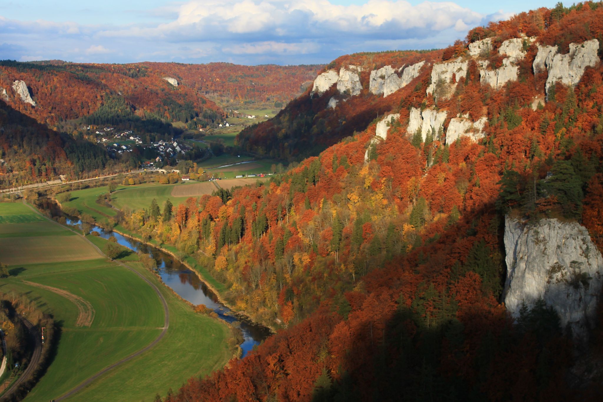
Here the still young Danube is still shallow and flat
1
0
Beautiful little church, but the extension in front of it, with its colorful windows, doesn't quite blend in.
1
0
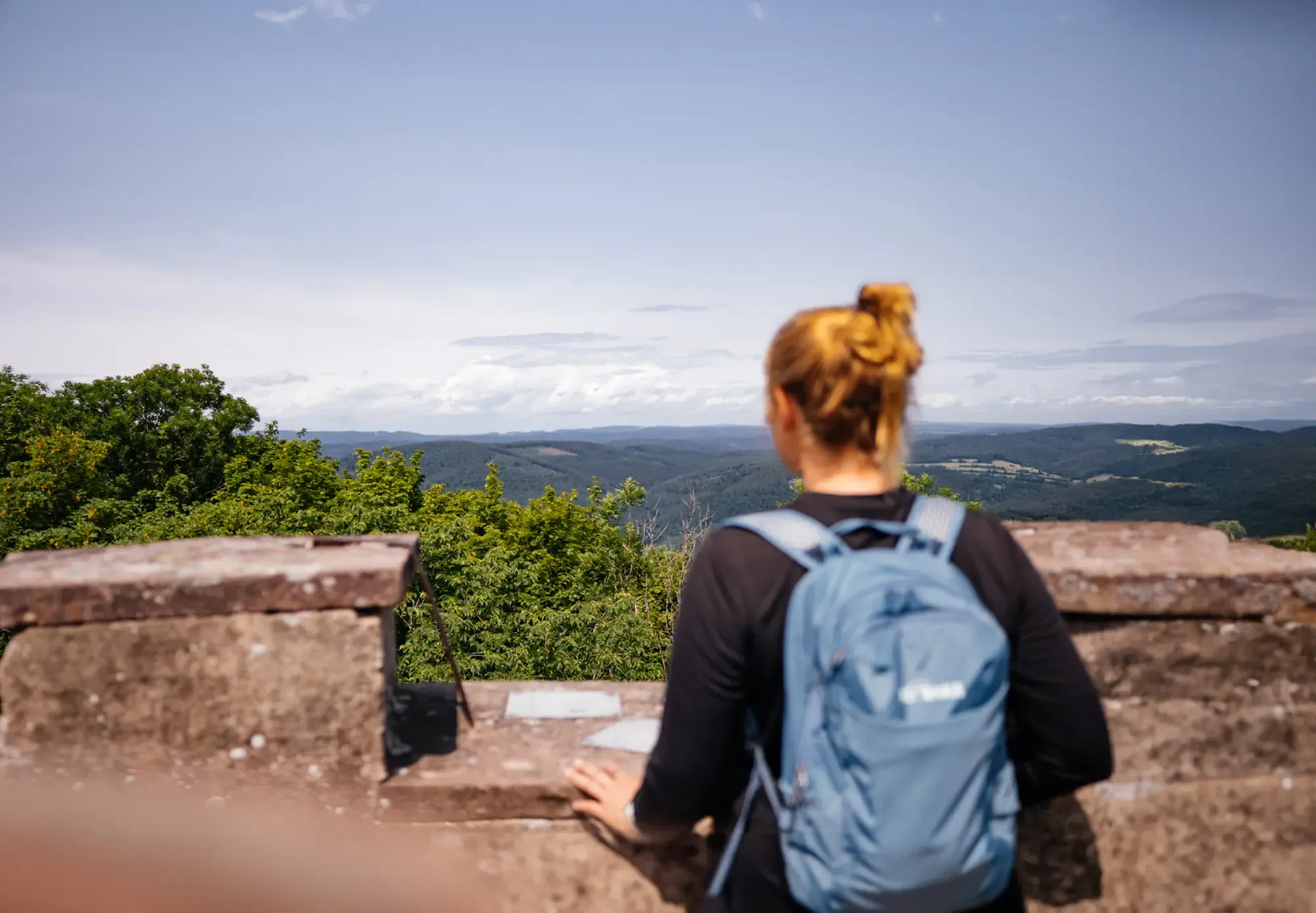
Slight elevation with a tower on top - beautiful viewpoint
1
0
Frequently Asked Questions
How many no-traffic road cycling routes are available around Wehingen?
There are over 50 dedicated no-traffic road cycling routes around Wehingen, offering a variety of distances and elevation profiles. These routes allow you to experience the scenic Swabian Alb and the "Region of the 10 Thousanders" without vehicle interference.
What kind of terrain can I expect on these car-free road cycling routes?
The terrain around Wehingen is characterized by rolling hills and significant elevation changes, typical of the Swabian Alb. You'll encounter challenging ascents and rewarding descents, with many routes featuring well-paved surfaces. This area is ideal for cyclists seeking a demanding ride with panoramic views.
Are there any easy no-traffic road cycling routes suitable for beginners?
Yes, while many routes offer a challenge, there are 9 easy road cycling routes around Wehingen that are free from traffic. These routes typically feature less elevation gain and shorter distances, making them suitable for those new to road cycling or looking for a more relaxed ride.
What are some of the most scenic viewpoints or natural features I can see along these routes?
The region is rich in natural beauty. Many routes offer views of the "Region of the 10 Thousanders," including peaks like Lemberg and Oberhohenberg. You might also encounter picturesque meadows and forests, especially beautiful in spring. For a challenging ride with significant views, consider the difficult route "Buttonmaker's Rock – View of Alter Berg loop from Gosheim" which features nearly 1000 meters of elevation gain.
Are there any circular no-traffic road cycling routes available?
Yes, many of the no-traffic road cycling routes around Wehingen are circular, allowing you to start and end your ride in the same location. An example is the moderate "Ascent to Kraftstein – Nendingen on the Danube loop from Böttingen" which offers a varied loop through the landscape.
What attractions can I visit near the no-traffic road cycling routes?
While cycling, you can explore several interesting points. The area features various caves, such as the Karstloch Cave or the Wenzelstein and the Wenzelstein Cave. There are also huts and shelters like the Hossinger Leiter Shelter, and the Lippach Mill which can be points of interest along your ride.
What is the best time of year for no-traffic road cycling in Wehingen?
Spring, summer, and early autumn are generally the best times for road cycling in Wehingen. Spring offers blooming wildflowers, while summer provides warmer temperatures. Early autumn brings pleasant weather and vibrant foliage. The region's rolling hills and meadows are particularly scenic during these seasons.
Are there any routes that pass by reservoirs or dams?
Yes, some routes incorporate local reservoirs and dams, offering scenic views over the water. For instance, the "Schlichem Dam – Schömberg Reservoir loop from Weilen unter den Rinnen" is a moderate route that takes you past these features, providing a refreshing change of scenery.
What do other road cyclists say about the no-traffic routes in Wehingen?
The no-traffic road cycling routes around Wehingen are highly rated by the komoot community, with an average score of 4.6 out of 5 stars. Cyclists frequently praise the challenging ascents, the quiet roads, and the stunning panoramic views from the higher elevations of the Swabian Alb.
Can I find routes that include significant climbs for advanced cyclists?
Absolutely. Wehingen is situated in the "Region of the 10 Thousanders," meaning there are numerous routes with substantial elevation gains. Advanced cyclists will appreciate the challenging climbs up peaks like Oberhohenberg. The route "Oberhohenberg Parking Area – Wilfingen–Gosheim Climb loop from Deilingen" is a moderate option that includes a notable climb.
Are there any options for parking near the start of these no-traffic routes?
Many routes start from villages or designated parking areas within the region, making it convenient to access the car-free sections. Specific parking information can often be found in the detailed route descriptions on komoot.
Most popular attractions around Wehingen

Get inspired with the komoot mobile app


Explore more
Browse the best Road cycling routes in other regions.
