The best running trails around South Norfolk District
4.6
(62)
6,307
runners
614
runs
Jogging around South Norfolk District offers diverse landscapes, from the tranquil waterside routes of the Broads to the ancient Claylands characterized by high hedges and open fields. The region features generally flat terrain, making it suitable for sustained running, though some routes include up to 330 feet of elevation gain. Runners can explore a mix of river paths, woodlands, and country parks, providing varied environments for outdoor activity. This area provides a range of running routes suitable for different preferences and fitness levels.
Best jogging routes around South Norfolk District
- The most popular jogging route is Whitlingham Great Broad & Surlingham Church Marsh run via Wherryman's Way — The Broads, a difficult 10.0 miles (16.1 km) trail that takes 1 hour 48 minutes to complete. This route offers scenic waterside paths through parts of the Broads National Park.
- Another top favourite among local runners is Whitlingham Great Broad loop from Carrow Road Stadium, a moderate 5.1 miles (8.2 km) path. This loop provides accessible running around Whitlingham Great Broad.
- Local runners also love the Marlingford Mill – The Bell Pub loop from Easton, a 12.0 miles (19.4 km) trail leading through varied countryside, often completed in about 2 hours 0 minutes.
- Jogging around South Norfolk District is defined by tranquil river paths, ancient woodlands, and open fields. The network offers options for different ability levels, from easy loops to more challenging runs.
- The routes in South Norfolk District are highly rated by the komoot community with an average score of 4.6 stars from over 50 reviews. More than 6,000 runners have used komoot to explore South Norfolk District's varied terrain.
Last updated: June 30, 2026
7
runners
Embark on a challenging jogging route through the heart of the Norfolk Broads with the Whitlingham Great Broad & Surlingham Church Marsh run. This difficult 10.0 miles (16.1 km) trail, with an elevation gain of 409 feet (125 metres), typically takes around 1 hour and 48 minutes to complete. You will experience a diverse terrain of natural paths, paved sections, gravel, and unpaved areas, winding along the River Yare with views of open marshes, reedbeds, and grazing meadows. Keep an eye out for the man-made Whitlingham Great Broad and the bird-rich Surlingham Church Marsh Nature Reserve, home to kingfishers and marsh harriers. This route demands very good fitness, so trail shoes are highly recommended for the varied conditions.
Planning your visit is straightforward, as the route is easily accessible from Norwich. Whitlingham Country Park, a key point along the trail, offers convenient facilities including a visitor centre, toilets, and a café. While the broader Wherryman's Way has good public transport links, be prepared for the demanding nature of this specific run. Given its "difficult" rating and technical sections, ensure you are well-prepared and have a very good level of fitness before setting out.
This trail stands out for its rich wildlife and passage through several nature reserves, offering exceptional opportunities for bird spotting within Britain's largest protected wetland. It also traces the historical Wherryman's Way, highlighting the trading routes of old Norfolk wherries with various installations along the path. The route beautifully combines the open waters of Whitlingham Great Broad with the tranquil marshlands of Surlingham Church Marsh, and you will encounter historic elements like remnants of a chalk pit and the ruins of St Saviour's Church, adding depth to your jogging experience.
296
runners
19.4km
02:01
100m
100m
Hard run. Very good fitness required. Mostly paved surfaces. Suitable for all skill levels.

Sign up for free
209
runners
Moderate run. Good fitness required. Mostly paved surfaces. Suitable for all skill levels.
4.0
(1)
147
runners
9.74km
01:00
50m
50m
Moderate run. Good fitness required. Mostly paved surfaces. Suitable for all skill levels.
5.0
(1)
90
runners
Moderate run. Good fitness required. Mostly paved surfaces. Suitable for all skill levels.
64
runners
Moderate run. Good fitness required. Mostly paved surfaces. Suitable for all skill levels.
63
runners
11.1km
01:09
40m
40m
Moderate run. Good fitness required. Mostly paved surfaces. Suitable for all skill levels.
5.0
(4)
64
runners
Moderate run. Good fitness required. Mostly paved surfaces. Suitable for all skill levels.
57
runners
22.1km
02:23
110m
110m
Hard run. Very good fitness required. Mostly paved surfaces. Suitable for all skill levels.
4.0
(1)
48
runners
8.30km
00:54
70m
70m
Moderate run. Good fitness required. Mostly paved surfaces. Suitable for all skill levels.
Get access to more routes and recommendations from other explorers.
Sign up for free
Already have an account?
Our route recommendations are based on thousands of hikes, rides, and runs completed by other people on komoot.
Start today with a free account
Your next adventure awaits.
Login or Signup
Popular around South Norfolk District

Running Trails around Colney

Running Trails around Whitlingham Great Broad
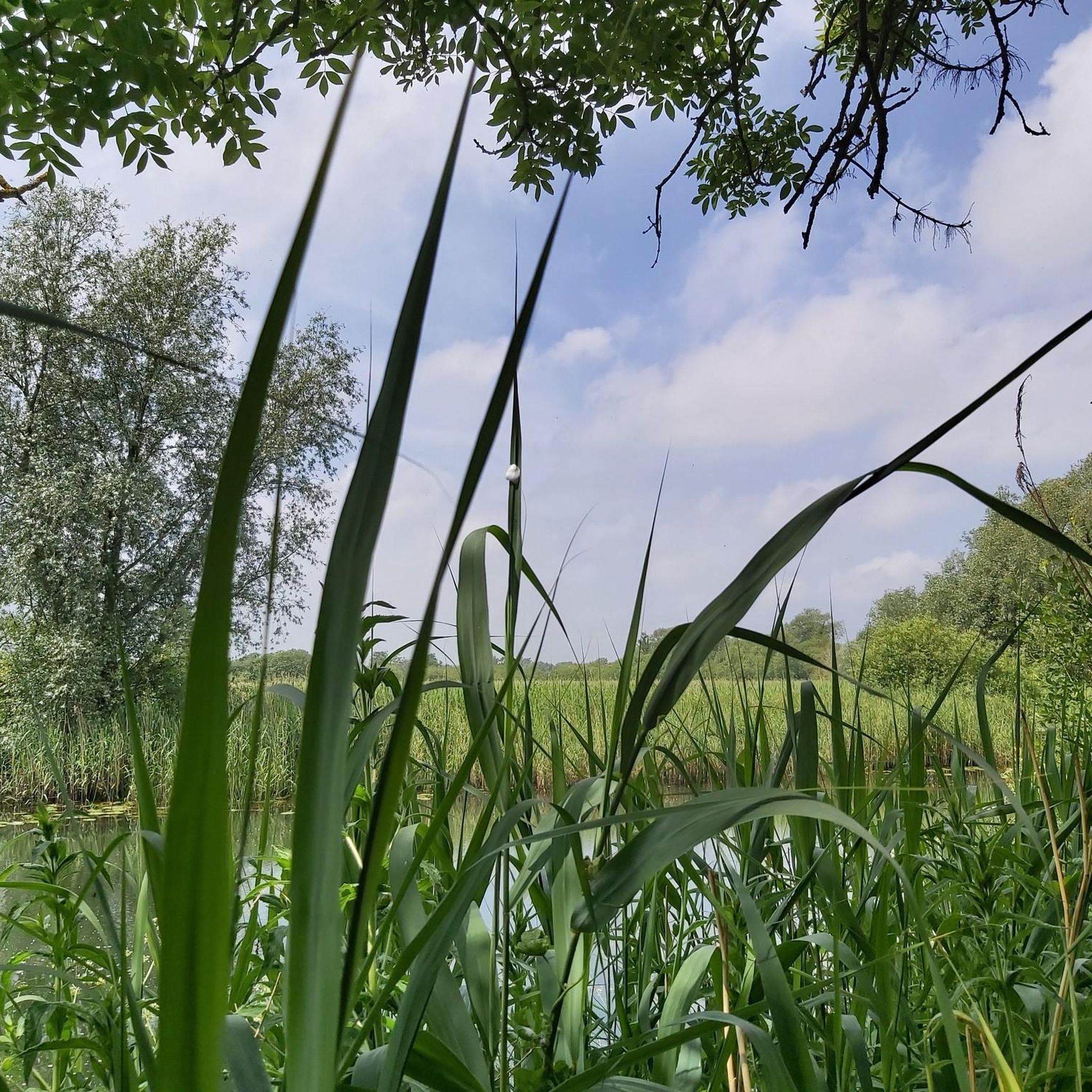
Running Trails around Geldeston

Running Trails around Ketteringham

Running Trails around Cringleford
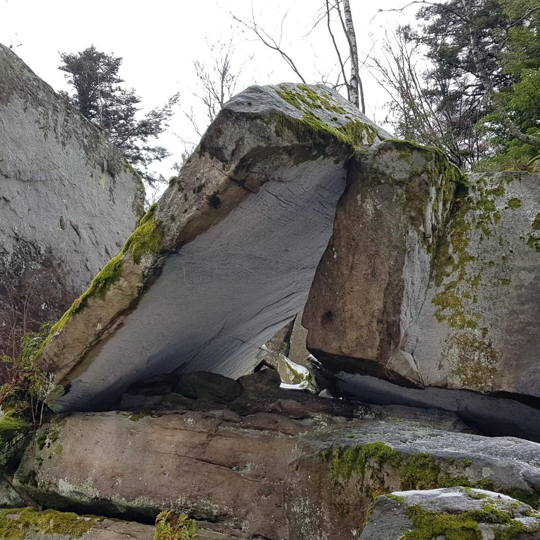
Running Trails around Wymondham

Running Trails around Costessey

Running Trails around Aldeby
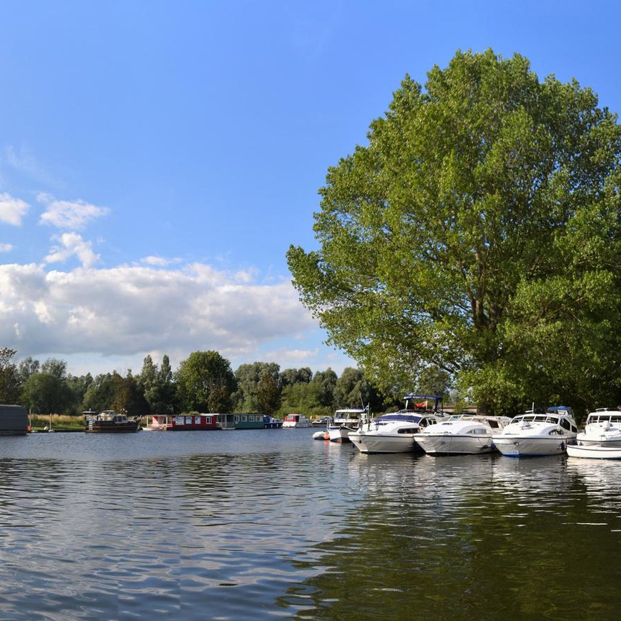
Running Trails around Gillingham
Running Trails around Marlingford And Colton
Other adventures around South Norfolk District


Tips from the Community

Cringleford Bridge was first built in stone in 1520, replacing a wooden bridge on the same site. Medieval sections survive in at least two arches, abutments and the central pier. It was widened in the late 18th century, restored in the 1970s. It crosses the River Yare south of Norwich and carries the Kett's County Long Distance Trail.
0
0

Lovely reserve with some flat running. Toilets and car park.
0
0
A broad is the local name for a body of water. This one was created from a former gravel pit in conjunction with the landscaping of the universities grounds. It's pretty and a haven for wildlife, but its steep sides reduce the wetland habitat that would normally surround a lake of this size.
1
0

Medieval stone bridge open to cyclists and pedestrians, providing a handy crossing over the river that avoids the city traffic.
0
0
Impressive fortress that still dominates the centre of Norwich. Now a museum.
0
0
Impressive landmark building rising above the marshes, now the home of an excellent cafe (komoot.com/highlight/6057575).
0
0
Excellent artisan coffee and tasty cakes. Cycle-friendly, with open level access and outdoor seating. The cycle rail is a bit high off the ground though: my bike was swinging in the wind!
0
0
Scenic crossing of the Waveney between Norfolk and Suffolk.
0
0
Frequently Asked Questions
How many running routes are available in South Norfolk District?
South Norfolk District offers a wide variety of running routes, with over 600 trails available. These range from easy, shorter loops to more challenging, longer runs, catering to all fitness levels.
What kind of terrain can I expect when running in South Norfolk District?
The region offers diverse terrain, from the generally flat, picturesque waterside paths of the Broads to the ancient South Norfolk Claylands with their high hedges and open fields. While much of Norfolk is perceived as flat, some routes can include up to 330 feet of elevation gain, providing a varied experience for runners.
Are there any running routes along the water in South Norfolk District?
Yes, many scenic routes follow waterways. You can explore the picturesque waterside paths around Whitlingham Great Broad, such as the Whitlingham Great Broad & Surlingham Church Marsh run via Wherryman's Way. Another great option is the River Waveney loop from Ellingham, which offers tranquil riverside running.
Can I find routes through woodlands or country parks?
Absolutely. The area features lovely wooded paths, such as the UEA Bluebell Woods Trail – Cringleford Bridge loop from University of East Anglia, which provides a serene, shaded environment. Many country parks in the district also offer varied and engaging routes for runners.
What do other runners enjoy most about the trails in South Norfolk District?
The running routes in South Norfolk District are highly rated by the komoot community, with an average score of 4.6 stars from over 50 reviews. Runners often praise the tranquil river paths, ancient woodlands, and open fields, highlighting the diverse and beautiful scenery.
Are there family-friendly running routes in South Norfolk District?
Yes, there are 78 easy routes suitable for families or those new to running. These often feature flatter terrain and shorter distances, making them enjoyable for all ages. Look for trails around country parks or designated paths like those near Whitlingham Great Broad.
Can I bring my dog on the running trails?
Many trails in South Norfolk District are dog-friendly, especially those through woodlands and along river paths. However, it's always best to check local signage, particularly in nature reserves or areas with livestock, as rules may vary. Always keep your dog under control and clean up after them.
Are there circular running routes available?
Yes, many of the popular running routes in South Norfolk District are circular, offering convenient starting and ending points. Examples include the Whitlingham Great Broad loop from Carrow Road Stadium and the Wymondham Railway Station – Mid-Norfolk Railway loop from Wymondham.
What are some scenic running routes with good viewpoints?
For scenic views, consider routes that pass through the Broads or along the River Waveney. The Whitlingham Great Broad & Surlingham Church Marsh run offers picturesque waterside views. You can also find lovely vistas around the historic town of Beccles, particularly near the Beccles Old Bridge.
Where can I find parking for popular running trails?
Many popular trailheads, especially at country parks or major attractions like Whitlingham Great Broad, offer dedicated parking facilities. For routes starting in towns or villages, public car parks are usually available. It's advisable to check specific route details for parking information before you go.
Are there places to eat or drink near the running routes?
Yes, South Norfolk District has numerous pubs and cafes conveniently located near many running routes. For example, the Marlingford Mill – The Bell Pub loop from Easton directly incorporates a pub. You can also find cafes like Étude Coffee at The Silo and pubs such as The Locks Inn at Geldeston near various trails.
What is the best time of year for running in South Norfolk District?
Spring and autumn generally offer the most pleasant conditions for running, with mild temperatures and beautiful scenery as the landscape changes. Summer can be lovely, especially for waterside routes, but be mindful of warmer temperatures. Winter running is also possible, though some paths might be muddy, so appropriate footwear is recommended.
Are there any interesting landmarks or natural features to see along the running routes?
Yes, many routes pass by notable landmarks and natural features. You might encounter parts of the Marriott's Way, see the historic Beccles Old Bridge, or spot the Reedham Ferry. Natural highlights include Whitlingham Great Broad and the RSPB Rockland Marshes Nature Reserve, offering opportunities for wildlife spotting.
Most popular routes around South Norfolk District
Most popular attractions around South Norfolk District

Get inspired with the komoot mobile app


Didn’t find what you were looking for?
Check out more Running Trails & Routes throughout South Norfolk District below and find the perfect route in your destination.
Explore more
Browse the best Running Trails & Routes in other regions.
