The best walks and hikes around Bjerkreim
4.7
(931)
4,285
hikers
14
hikes
Hiking around Bjerkreim offers a diverse natural landscape where Western Norway meets Southern Norway. The region is characterized by unique geological formations within the Magma Geopark, including the impressive Gloppedalsura scree and varied mountain peaks. Valleys like Ørsdalen and lakes such as Ørsdalsvatnet contribute to a varied terrain suitable for different hiking experiences.
Best hiking trails around Bjerkreim
- The most popular hiking route is Veen Kvernatjørn Loop, a 4.4 miles (7.1 km) trail that takes 2 hours 23 minutes to complete. This moderate loop explores the local landscape around Kvernatjørn.
- Another top favourite among local hikers is Vinjakula Trail, a difficult 7.5 miles (12.0 km) path. This route ascends to Vinjakula, the highest peak in the Magma Geopark, offering extensive views.
- Local hikers also love the Kaurebu Day Trip Cabin loop from Gjedrem, a 3.3 miles (5.3 km) trail leading through varied terrain, often completed in about 1 hour 31 minutes.
- Hiking around Bjerkreim is defined by unique "lunar landscapes" of the Magma Geopark, the vast scree of Gloppedalsura, and diverse mountain peaks like Marsteinfjellet and Øykjafjellet. The network offers options for easy strolls to more demanding ascents.
- The routes in Bjerkreim are highly rated by the komoot community with an average score of 4.7 stars from over 900 reviews. More than 4000 hikers have used komoot to explore Bjerkreim's varied terrain.
Last updated: May 10, 2026
4.8
(8)
33
hikers
7.09km
02:23
320m
320m
Moderate hike. Good fitness required. Easily-accessible paths. Suitable for all skill levels.
4.7
(3)
33
hikers
12.0km
05:13
730m
730m
Hard hike. Very good fitness required. Mostly accessible paths. Sure-footedness required.

Sign up for free
5.0
(2)
21
hikers
5.83km
02:20
240m
50m
Hard hike. Good fitness required. Sure-footedness, sturdy shoes and alpine experience required.
5.0
(1)
9
hikers
8.42km
02:47
390m
390m
Moderate hike. Good fitness required. Easily-accessible paths. Suitable for all skill levels.
4.7
(10)
39
hikers
5.30km
01:31
120m
120m
Easy hike. Great for any fitness level. Easily-accessible paths. Suitable for all skill levels.
Get access to more routes and recommendations from other explorers.
Sign up for free
Already have an account?
Our route recommendations are based on thousands of hikes, rides, and runs completed by other people on komoot.
Start today with a free account
Your next adventure awaits.
Login or Signup
Tips from the Community

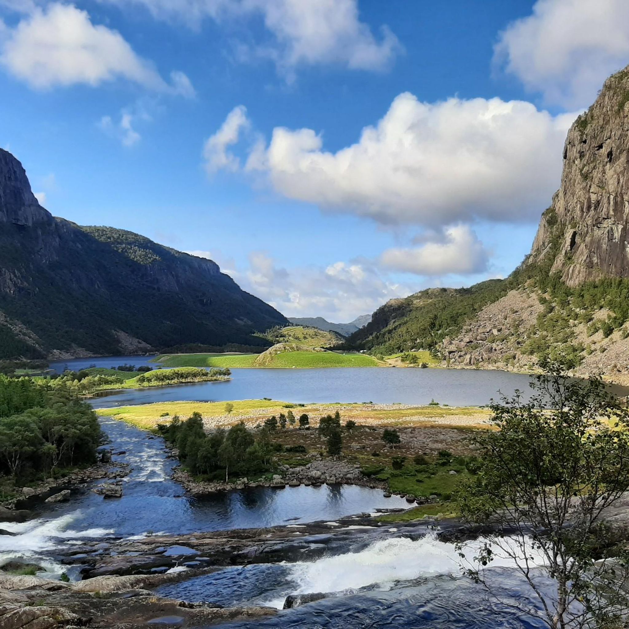
A superb spot to admire the Teinabekken waterfall as it cascades down towards the great lakes. With the added bonus of a view of the valley below.
0
0
The trail continues literally in the middle of the river with this ford, from stone to stone. Be careful, the river can be powerful depending on conditions.
0
0
From here, you can look out over Lake Kvernatjorn, surrounded by its wet lake meadow. The view is pleasant and relaxing, and the spot is quiet.
0
0
This small cabin offers shelter halfway along your hike to the Kvitlen mountain hut. Ideal for a picnic break with a view.
0
0
The futuristic self-service cabin Kvitlen has been described by former Minister of Health Bent Høie as Norway's most beautiful especially for its modern and innovative main room. Come and see !
0
0
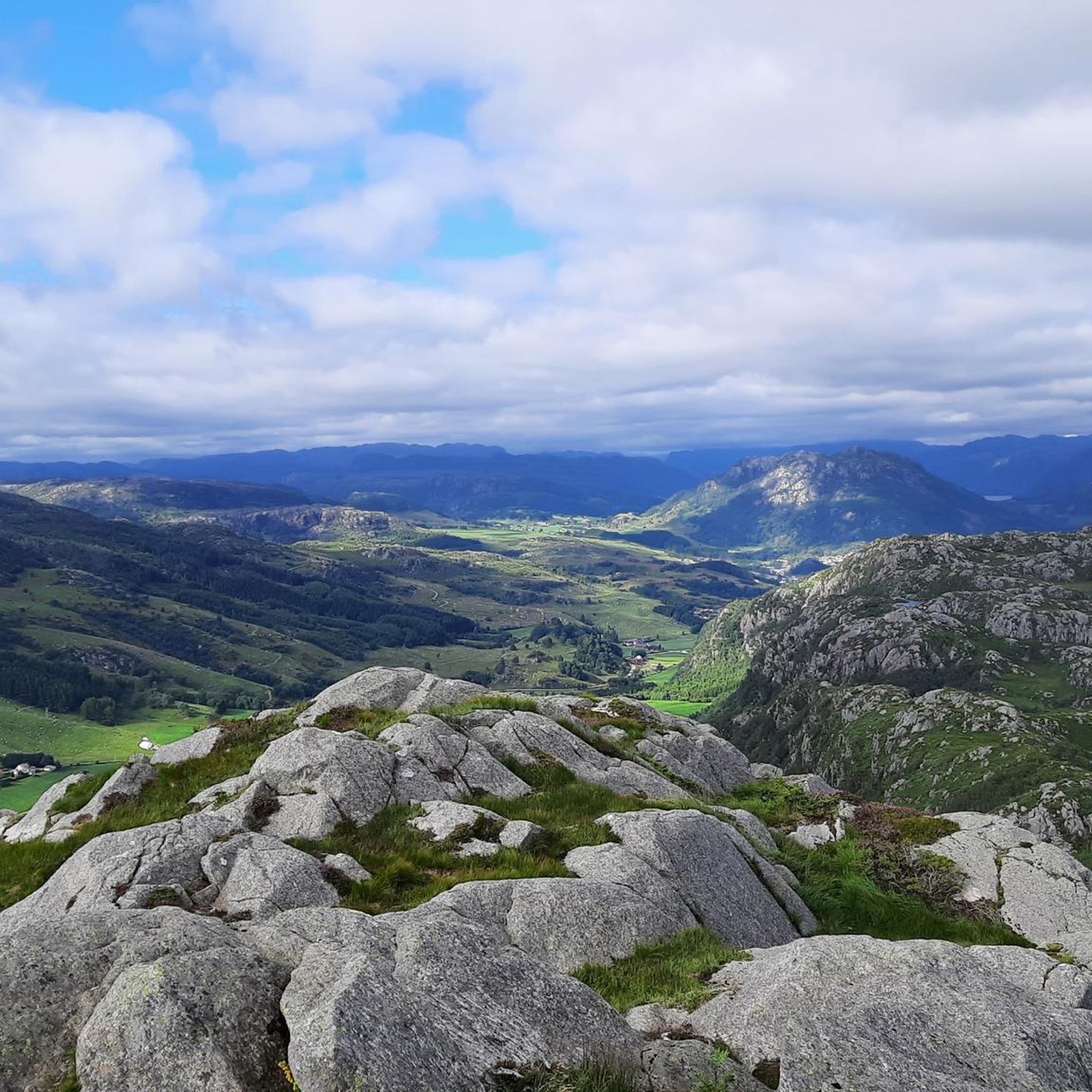
From here, you have a magnificent view of the river winding its way through the valley, with its small rapids. The atmosphere is wild and the feeling of isolation is at its peak.
0
0

Take a moment to enjoy the stunning Ytrevinjavatnet view, where peaceful waters meet dramatic landscapes, an ideal spot for relaxation and nature photography.
0
0
This lake is a beautiful place to take a break during your climb to Marsteinfjellet, but it can also be a destination in itself. The lake is also popular with local fishermen.
0
0
Frequently Asked Questions
How many hiking trails can I find in Bjerkreim?
Bjerkreim offers a diverse network of over 10 hiking trails, catering to various skill levels. These routes explore the unique landscapes of the Magma Geopark, including impressive scree formations and scenic mountain peaks.
Are there any easy hiking trails suitable for beginners or families?
Yes, Bjerkreim has several easy trails. A great option is the Kaurebu Day Trip Cabin loop from Gjedrem, which is 3.3 miles (5.3 km) long and leads through varied terrain. This area is known for paths suitable for all skill levels, including accessible strolls.
What are some challenging hikes in Bjerkreim?
For those seeking a challenge, the Vinjakula Trail is a difficult 7.5 miles (12.0 km) path that ascends to Vinjakula, the highest peak in the Magma Geopark, offering extensive panoramic views. Another demanding option is the From Bjordal to Kvitlen route.
Are there any circular hiking routes in Bjerkreim?
Absolutely. Many trails in Bjerkreim are designed as loops, allowing you to start and end at the same point. The Veen Kvernatjørn Loop is a popular moderate 4.4 miles (7.1 km) option exploring the local landscape around Kvernatjørn. Another is the Marsteinfjellet loop from Spødavoll, known for its varied terrain.
What unique natural landmarks or viewpoints can I explore while hiking?
Bjerkreim is rich in unique natural features. You can explore the impressive Gloppedalsura, Northern Europe's largest scree, or hike to peaks like Vinjakula for panoramic views. The region is part of the Magma Geopark, offering a distinctive 'lunar landscape'. Don't miss the Trollpikken rock formation, a notable natural monument nearby.
Are there any waterfalls along the hiking trails in Bjerkreim?
While Bjerkreim is known for its rivers and lakes, you can find smaller cascades. There is a Small Waterfall highlight listed in the area, which can be a pleasant discovery during your hike.
Where can I find parking for hiking trails in Bjerkreim?
Parking is generally available near popular trailheads. For example, there is a designated Trollpikken Trailhead Parking area, providing convenient access to that specific natural monument and surrounding trails.
Are there any huts or shelters available for hikers in Bjerkreim?
Yes, Bjerkreim offers facilities for hikers to rest and enjoy the scenery. The Storafjellet hikers' shelter provides views towards Vikeså, and the Kaurebu Day Trip Cabin is another option for a break during your hike.
What do other hikers enjoy most about hiking in Bjerkreim?
The hiking trails in Bjerkreim are highly rated by the komoot community, with an average score of 4.7 stars from over 900 reviews. Hikers often praise the diverse terrain, from the unique 'lunar landscapes' of the Magma Geopark to the stunning panoramic views from mountain peaks like Vinjakula and Øykjafjellet.
What is the best time of year to hike in Bjerkreim?
Bjerkreim offers outdoor activities year-round. While summer is ideal for hiking and exploring lakes like Ørsdalsvatnet, areas like Stavtjørn transform into a winter paradise with cross-country ski trails and a ski resort, making it suitable for different experiences depending on the season.
Are there any hidden gems or less-known trails in Bjerkreim?
Ørsdalen valley is considered one of Rogaland County's hidden gems, featuring marked hiking trails and contributing to the region's breathtaking scenery. Exploring this area can offer a more secluded and tranquil hiking experience away from the more frequented paths.
Most popular routes around Bjerkreim
Most popular attractions around Bjerkreim

Get inspired with the komoot mobile app


Explore more
Browse the best Hikes in other regions.
