The best mountain hikes around Voeren
4.6
(6)
21
hikers
13
hikes
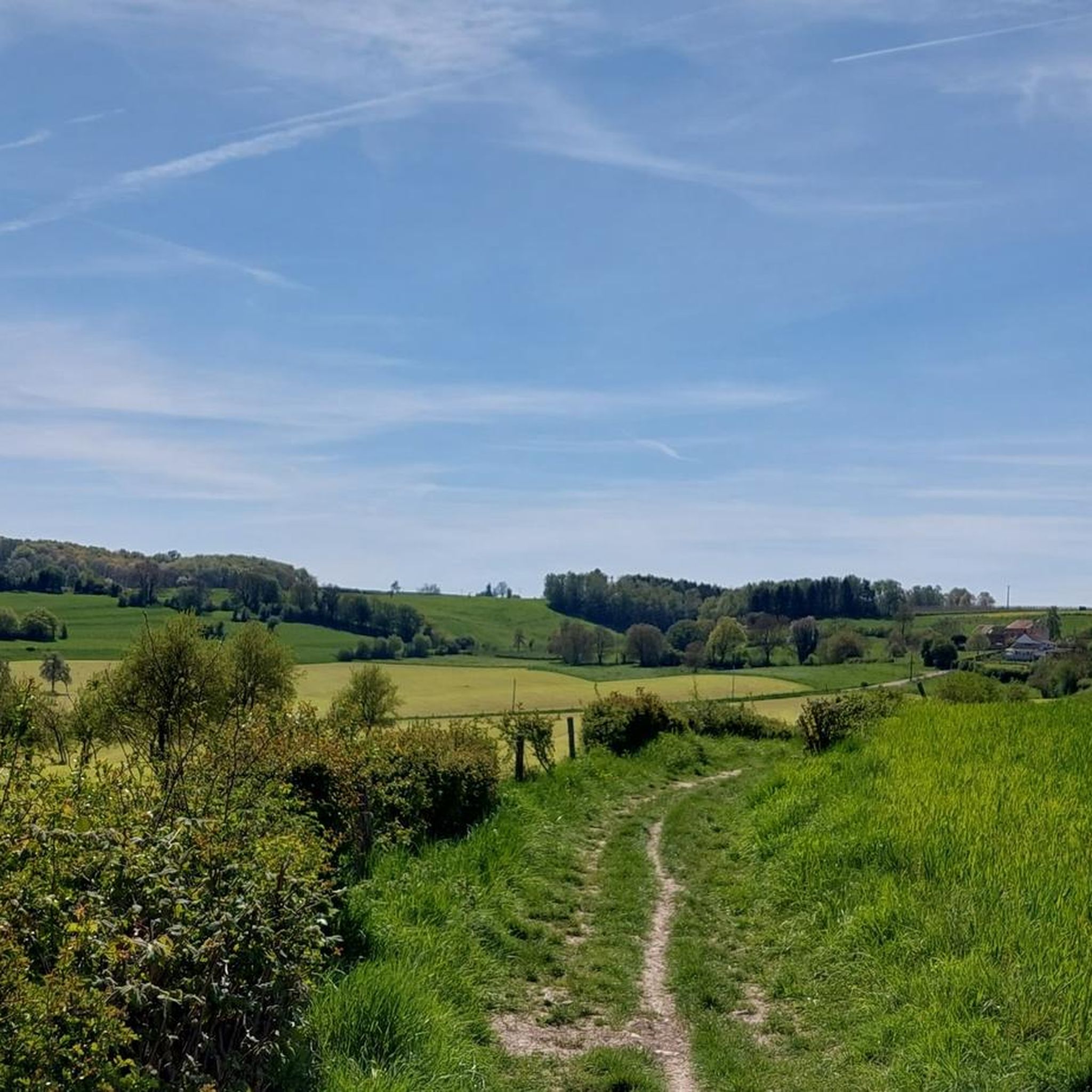
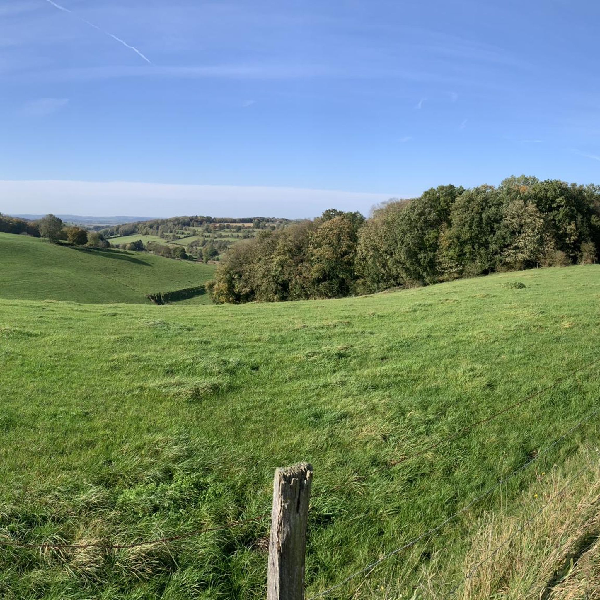
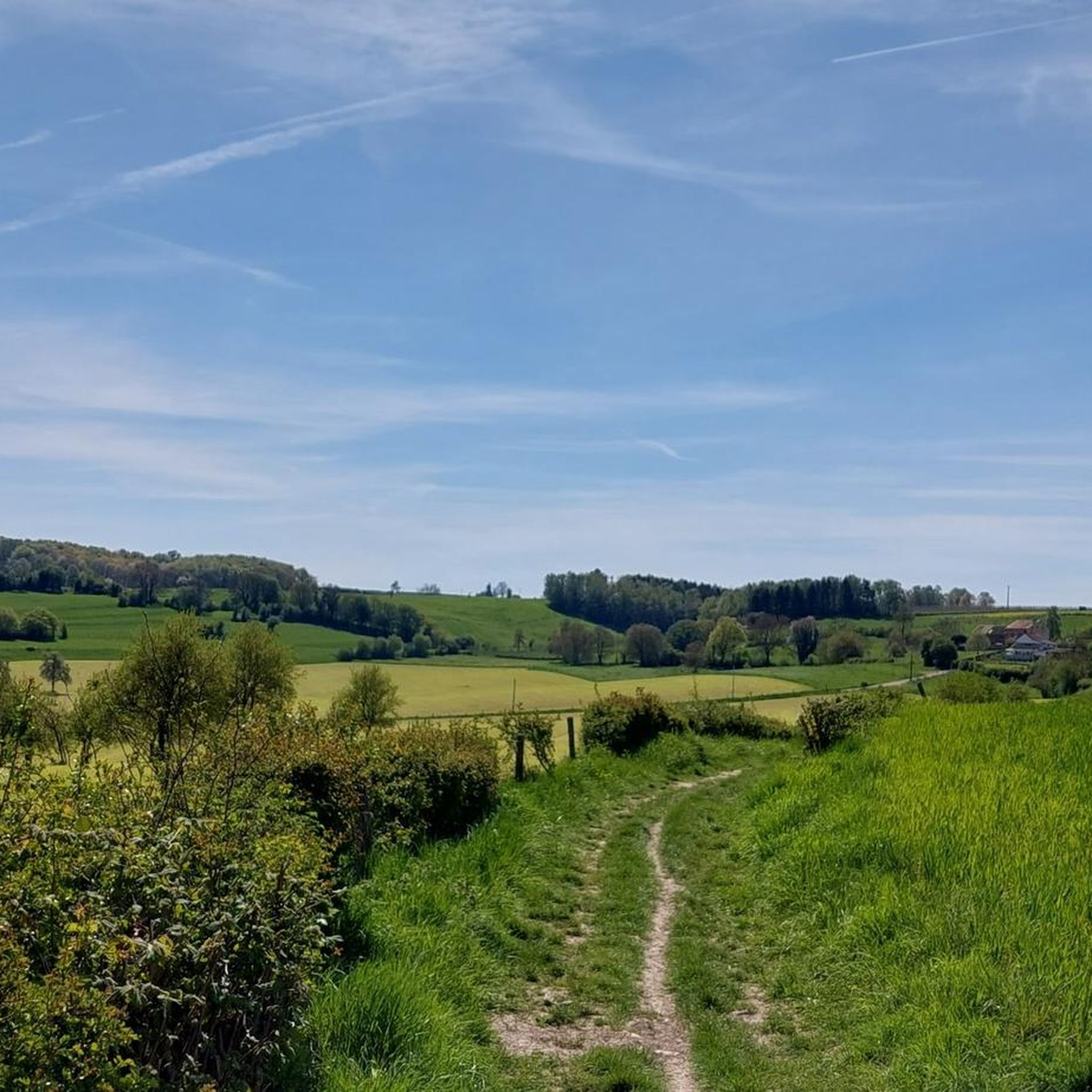
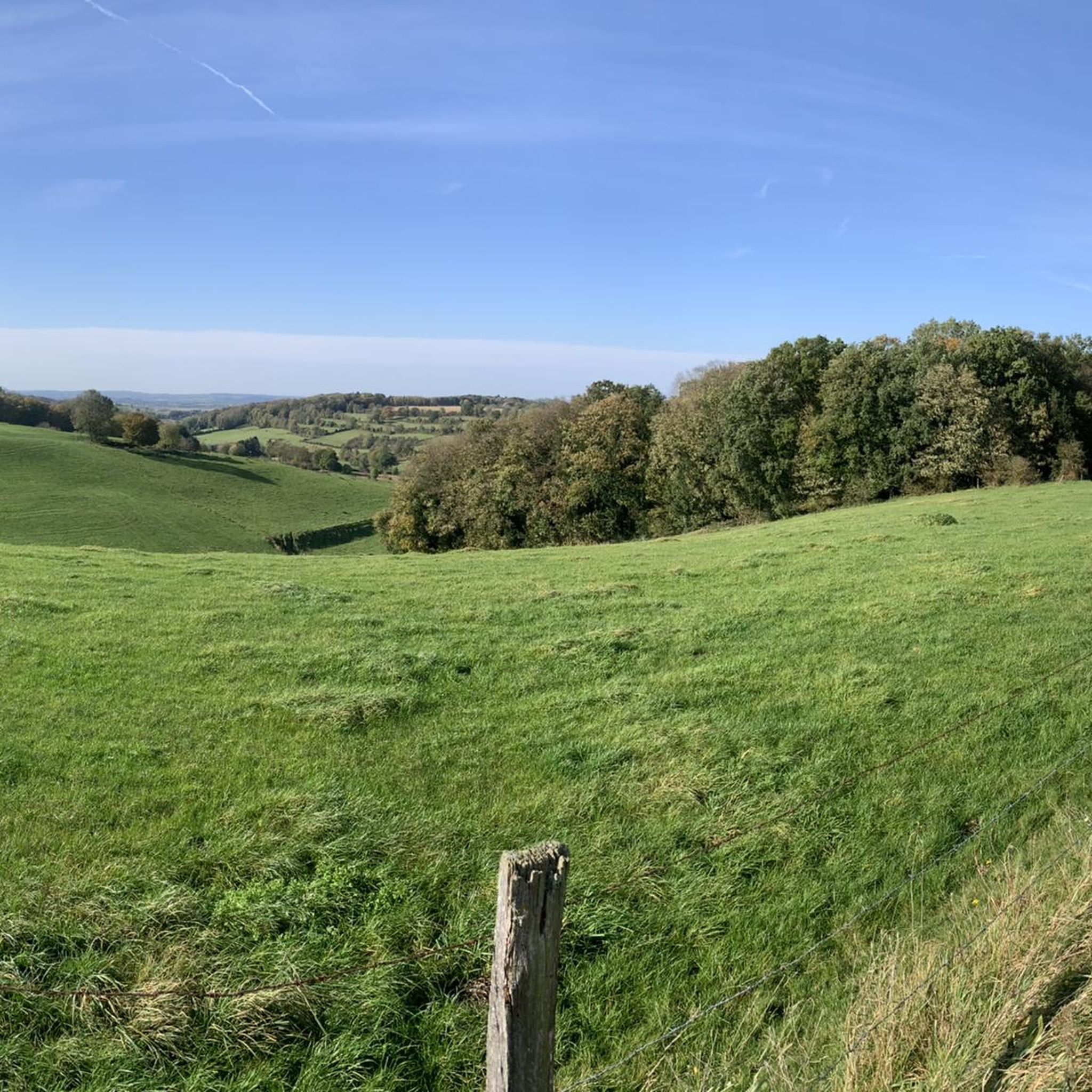
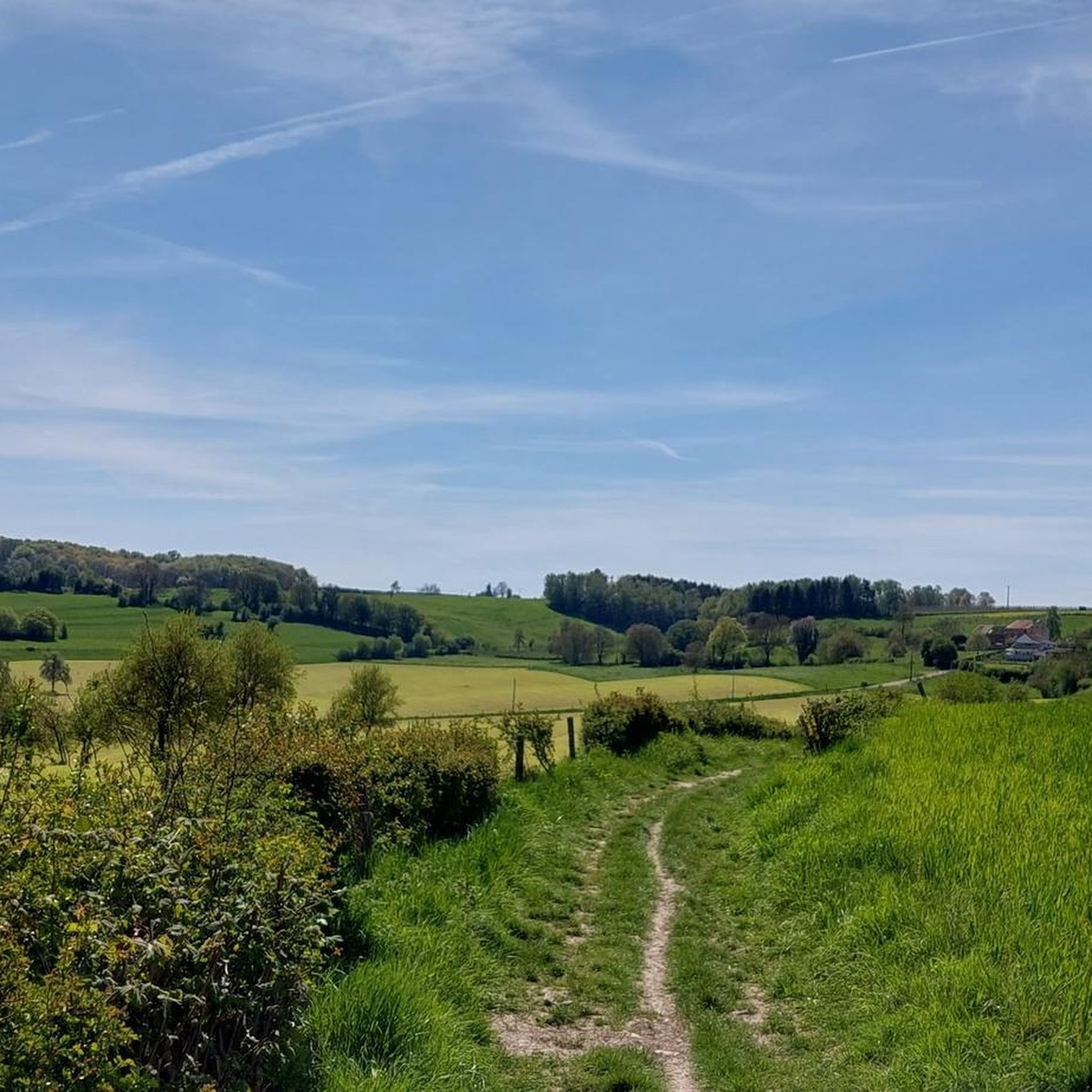
Mountaineering routes around Voeren traverse a surprisingly hilly and verdant landscape in the Belgian province of Limburg. The region is characterized by rolling hills, deep valleys, and dense forests, offering challenging and undulating terrain. This varied topography creates panoramic views and features a mix of pastures, streams, and charming undergrowth, providing a "mountain-like" experience for outdoor enthusiasts.
Best mountaineering routes around Voeren
- The most popular mountaineering route is Maria Monument, Gulperberg – Virgin Mary statue loop from Gulpen-Wittem, a…
Last updated: July 1, 2026
4.7
(3)
2
hikers
10.4km
02:52
170m
170m
Moderate mountaineering route. Good fitness required. Easily-accessible paths. Suitable for all skill levels.
4.0
(2)
5
hikers
16.7km
04:36
270m
270m
Hard mountaineering route. Good fitness required. Sure-footedness, sturdy shoes and alpine experience required.

Sign up for free
2
hikers
14.5km
03:59
240m
240m
Moderate mountaineering route. Good fitness required. Easily-accessible paths. Suitable for all skill levels.
1
hikers
15.9km
04:27
300m
300m
Moderate mountaineering route. Good fitness required. Easily-accessible paths. Suitable for all skill levels.
1
hikers
6.86km
01:53
120m
120m
Easy mountaineering route. Great for any fitness level. Easily-accessible paths. Suitable for all skill levels.
Get access to more routes and recommendations from other explorers.
Sign up for free
Already have an account?
Our route recommendations are based on thousands of hikes, rides, and runs completed by other people on komoot.
Start today with a free account
Your next adventure awaits.
Login or Signup
Tips from the Community

In the past, people came here to work, nowadays to relax and enjoy. The past wasn't always better. 😉
3
0

A steep climb leads up the mountain. The view makes up for it.
1
0

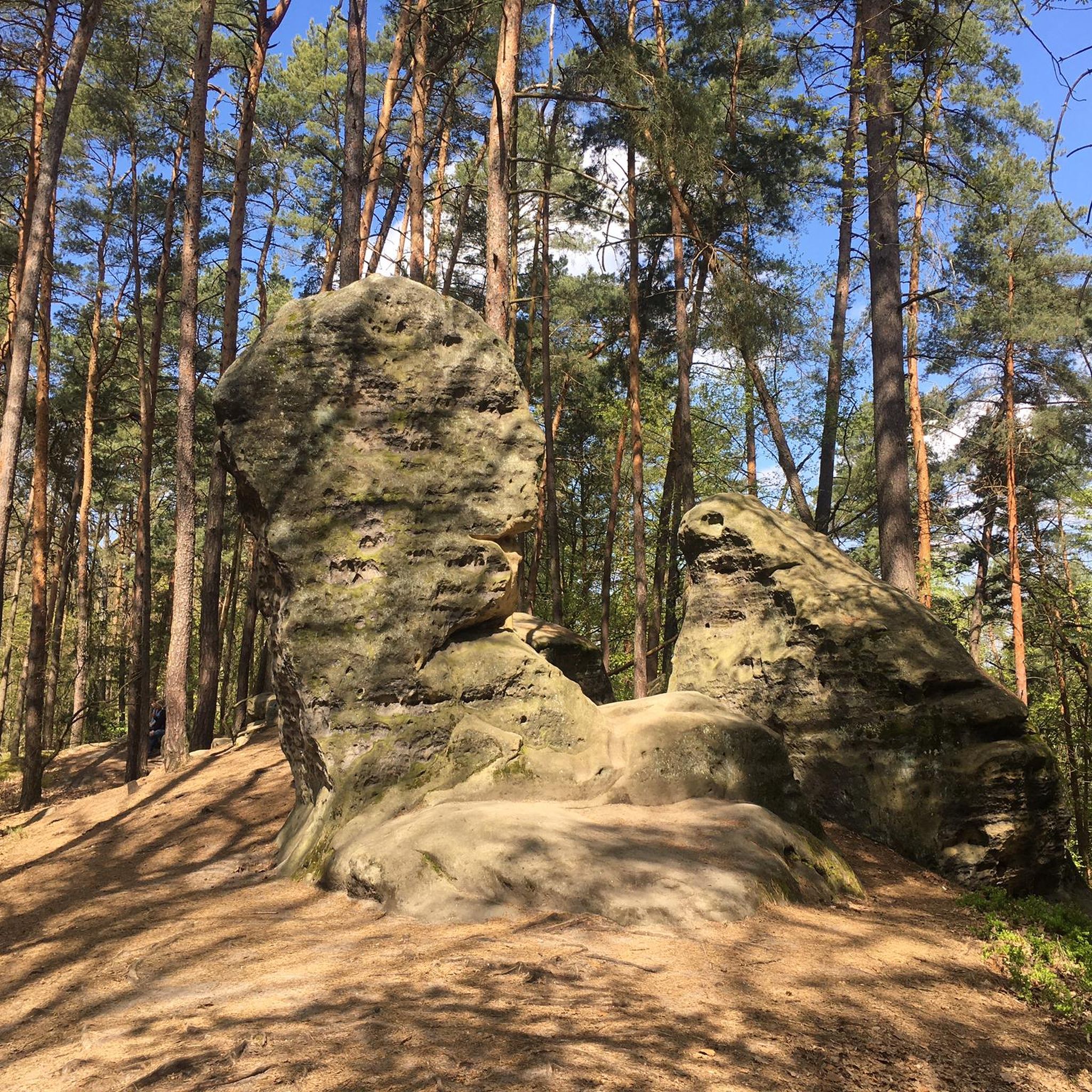
The rock formations historically originate from the Meno valley and are approx. 2 million years old
4
0

Very challenging and very steep. Be careful here. There is a rope, best to use it.
1
0

This is a beautiful viewpoint overlooking Camping Gulperberg and the surrounding hills of South Limburg. It's perfect for pausing to take a photo or simply enjoying the peace and quiet of the landscape. A lovely spot for a short break during your walk or bike ride.
1
0

Be careful, there are a lot of roots and small jumps.
0
0


In the mid-19th century, flooding from the Göhl River posed a major threat to the mine in Bleyberg/Plombières: Water repeatedly penetrated the tunnels and claimed lives. To prevent this, a diversion of part of the river was requested and approved in 1861. By 1862, a tunnel several hundred meters long was built beneath the rock, keeping the Göhl away from the mine. The construction cost approximately 200,000 francs. The tunnel is a technical monument to mining engineering from an era when hazards were deliberately controlled while simultaneously harnessing hydropower. It demonstrates how work-related accidents were prevented while simultaneously harnessing resources.
54
0
Frequently Asked Questions
How many mountaineering routes are available in Voeren?
Voeren offers a selection of 14 mountaineering routes, catering to various skill levels. These include 5 easy, 8 moderate, and 1 difficult route, ensuring there's a suitable path for almost every mountaineer.
What is the best time of year for mountaineering in Voeren?
The Voeren region is beautiful year-round, but spring and autumn are particularly pleasant for mountaineering. During these seasons, the rolling hills and forests display vibrant colors, and the temperatures are generally mild, making for comfortable exploration of the undulating terrain.
What kind of landscapes can I expect on mountaineering routes in Voeren?
Mountaineering routes in Voeren traverse a surprisingly hilly and verdant landscape, characterized by rolling hills, deep valleys, and dense forests. You'll encounter a mix of pastures, streams, and charming undergrowth, with many paths offering stunning panoramic views. The region's natural water sources are also a highlight, with routes passing by various springs and the Voer river.
Are there family-friendly mountaineering routes in Voeren?
Yes, Voeren offers several family-friendly options. With 5 easy routes available, families can enjoy the region's natural beauty without overly strenuous climbs. These paths often lead through picturesque landscapes and past charming villages, providing an engaging experience for all ages.
Can I bring my dog on mountaineering trails in Voeren?
Generally, dogs are welcome on many mountaineering trails in Voeren, allowing you to explore the region's diverse landscapes with your canine companion. However, it's always advisable to keep dogs on a leash, especially in nature reserves or areas with livestock, and to check for any specific local restrictions before you go.
Are there circular mountaineering routes in Voeren?
Yes, many of the mountaineering routes in Voeren are designed as circular paths, allowing you to start and end at the same point. An example is the moderate route, The Geul River and Surroundings – View of Vijlen loop from Epen, which offers a scenic journey through the region's varied terrain.
What do other mountaineers think about the routes in Voeren?
The mountaineering routes in Voeren are highly rated by the komoot community, with an average score of 4.7 stars from 7 reviews. Mountaineers often praise the region's surprisingly hilly terrain, diverse landscapes, and the rewarding challenge these 'mountain-like' hikes provide.
Are there any historical landmarks or points of interest along the routes?
Yes, Voeren's routes often pass by charming villages, half-timbered houses, and historical sites. Notable landmarks include the Vaalserberg Three-Country Point, which is also the highest point in the Netherlands, and the Commanderie of Sint-Pieters-Voeren, a castle in Maasland Renaissance style. You might also encounter the old railway viaduct in Sint-Martens-Voeren or a 2 km long tunnel on the former Tongeren-Aachen railroad line.
Where can I find refreshments or places to rest along the routes?
Voeren is known for its hospitality, and many mountaineering routes pass by cozy huts and traditional taverns where you can refuel and rest. These establishments often offer local specialties and a welcoming atmosphere, perfect for a break during your hike.
How can I reach the mountaineering trailheads in Voeren by public transport?
While Voeren is primarily accessible by car, some trailheads can be reached via public transport, though connections might require planning. It's recommended to check local bus schedules for routes connecting to villages like Sint-Martens-Voeren or Sint-Pieters-Voeren, which serve as starting points for many trails. For more detailed information on public transport options in the region, you can consult Visit Limburg.
Is parking available at the mountaineering trailheads in Voeren?
Yes, parking is generally available at or near the main trailheads in Voeren's villages. Many routes start from easily accessible points, and you'll often find designated parking areas. However, during peak seasons, it's advisable to arrive early to secure a spot.
What are some challenging mountaineering routes in Voeren?
For those seeking a challenge, Voeren offers routes with significant elevation changes. The region's most difficult route is Climbing Trail – Boundary Marker 1845 loop from Sint Pieter, a 17.5 km path featuring substantial climbs and descents through varied terrain. The hilly nature of Voeren ensures a rewarding workout for experienced mountaineers.
Are there any longer mountaineering routes in Voeren?
Yes, if you're looking for longer excursions, Voeren has routes that extend for several hours. For instance, the The Geul River and Surroundings – View of Vijlen loop from Epen covers nearly 16 km, offering an extended experience through the region's scenic landscapes.
Most popular attractions around Voeren

Get inspired with the komoot mobile app


Explore more
Browse the best Mountain Hikes & Routes in other regions.
