The best walks and hikes around Voeren
4.5
(4655)
20,193
hikers
214
hikes
Hiking around Voeren is characterized by its rolling hills, deep valleys, and dense forests, creating a diverse landscape for outdoor activities. The region features numerous streams and natural springs, including the source of the Voer river. It is part of the "Boundless Bocageland Landscape Park," showcasing a mosaic of fields, hedges, and woodlands. This varied environment supports unique biodiversity and offers a range of southern plant species.
Best hiking trails around Voeren
- The most popular hiking route is Voeren Villages…
Last updated: August 17, 2026
4.7
(124)
473
hikers
20.1km
05:42
440m
440m
Hard hike. Very good fitness required. Easily-accessible paths. Suitable for all skill levels.
4.7
(454)
2,344
hikers
8.27km
02:19
170m
170m
Moderate hike. Good fitness required. Easily-accessible paths. Suitable for all skill levels.

Sign up for free
4.7
(466)
2,288
hikers
13.2km
03:45
300m
300m
Moderate hike. Good fitness required. Easily-accessible paths. Suitable for all skill levels.
4.6
(118)
442
hikers
8.00km
02:17
180m
180m
Moderate hike. Good fitness required. Easily-accessible paths. Suitable for all skill levels.
4.6
(126)
445
hikers
Moderate hike. Good fitness required. Easily-accessible paths. Suitable for all skill levels.
Get access to more routes and recommendations from other explorers.
Sign up for free
Already have an account?
Our route recommendations are based on thousands of hikes, rides, and runs completed by other people on komoot.
Start today with a free account
Your next adventure awaits.
Login or Signup
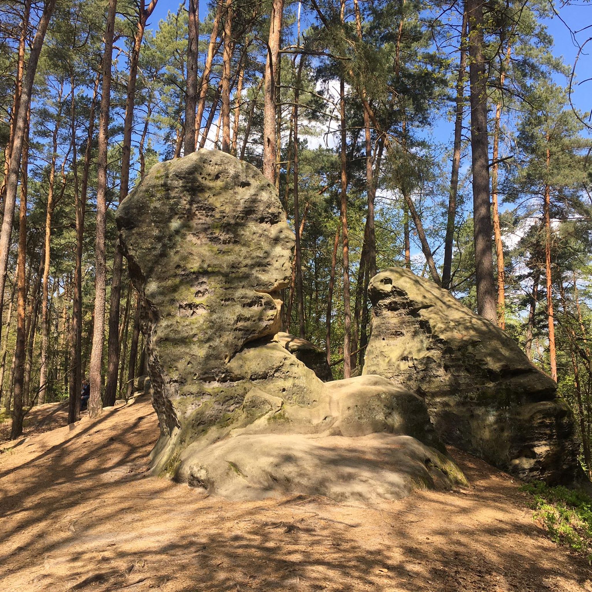
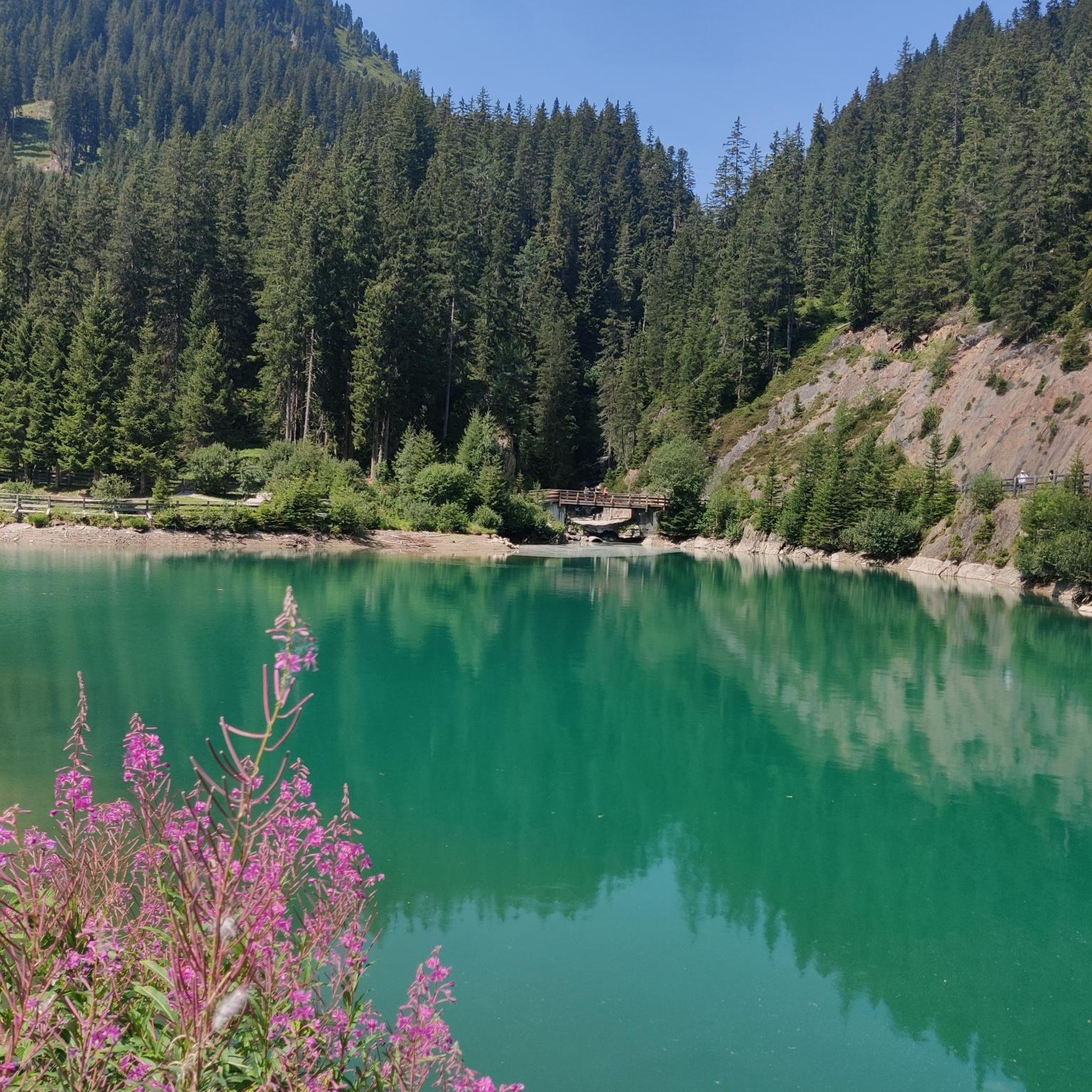
Tips from the Community

Top prehistoric caves and landscape
0
0

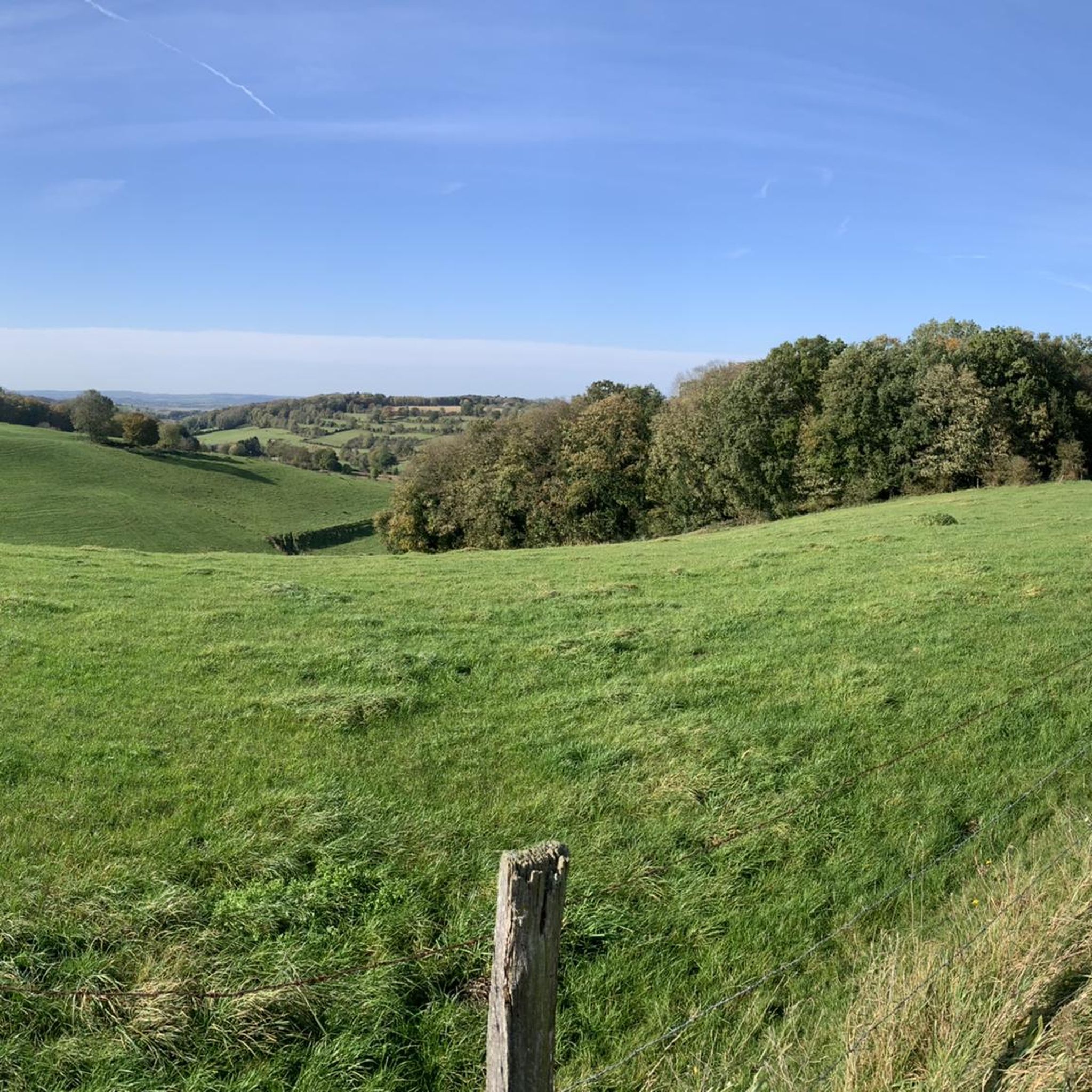
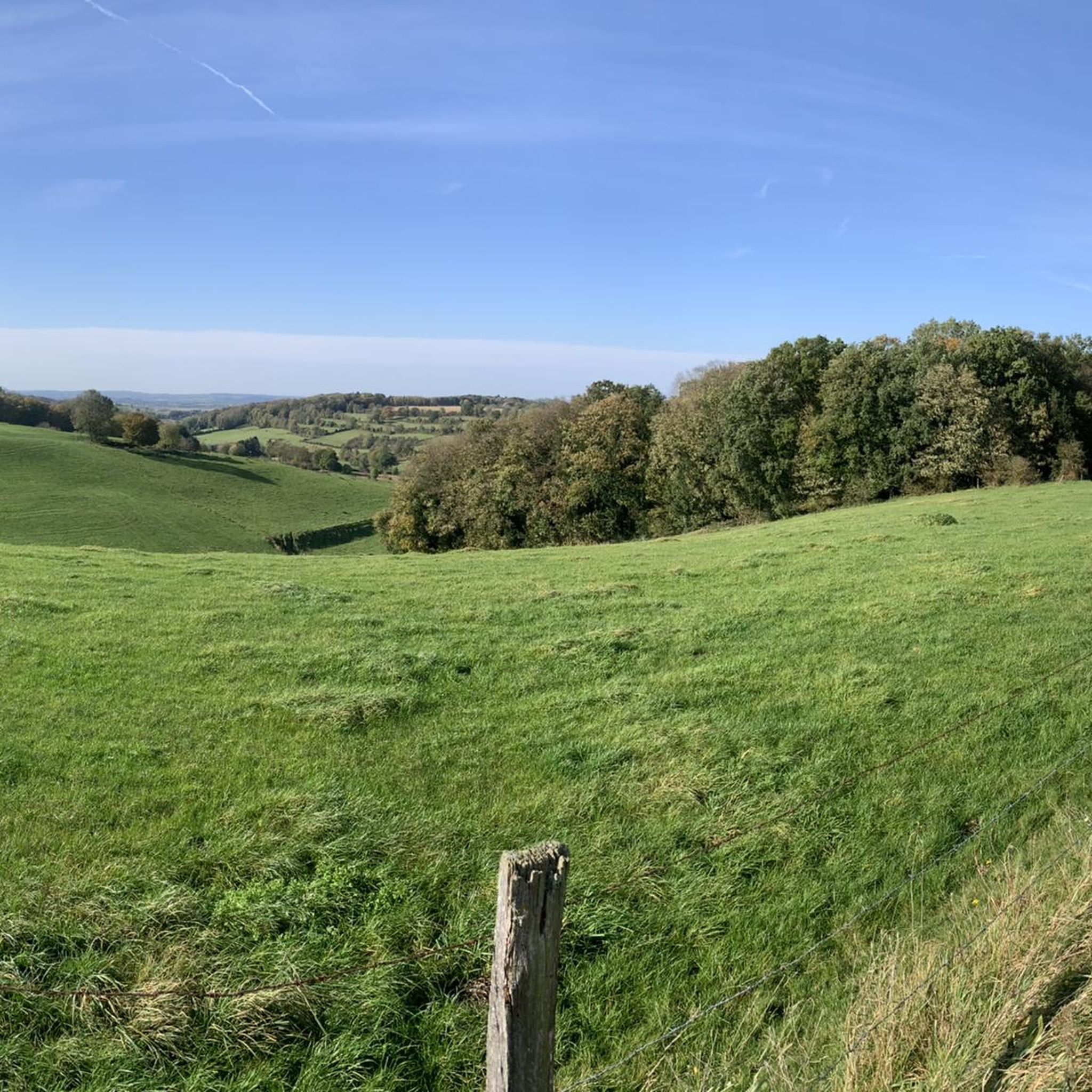
Enjoy a beautiful panoramic view over the rolling landscape of 's-Gravenvoeren. An ideal spot to pause, take photos, and experience the tranquility and nature of the Limburg hills.
0
0

An enormously long climb OR just as long descent if you hike it from the other side
0
0

Nature as far as the eye can see
2
0

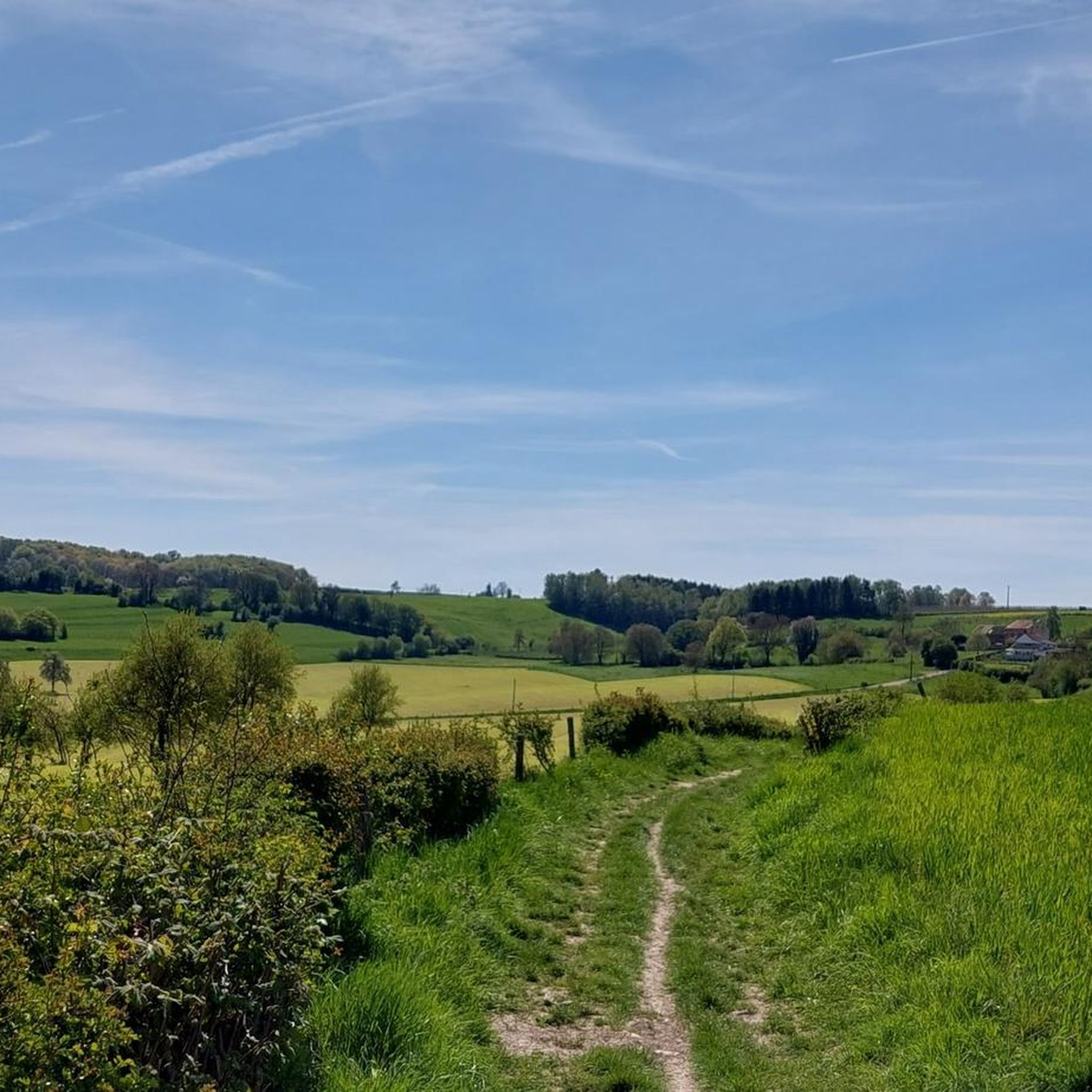
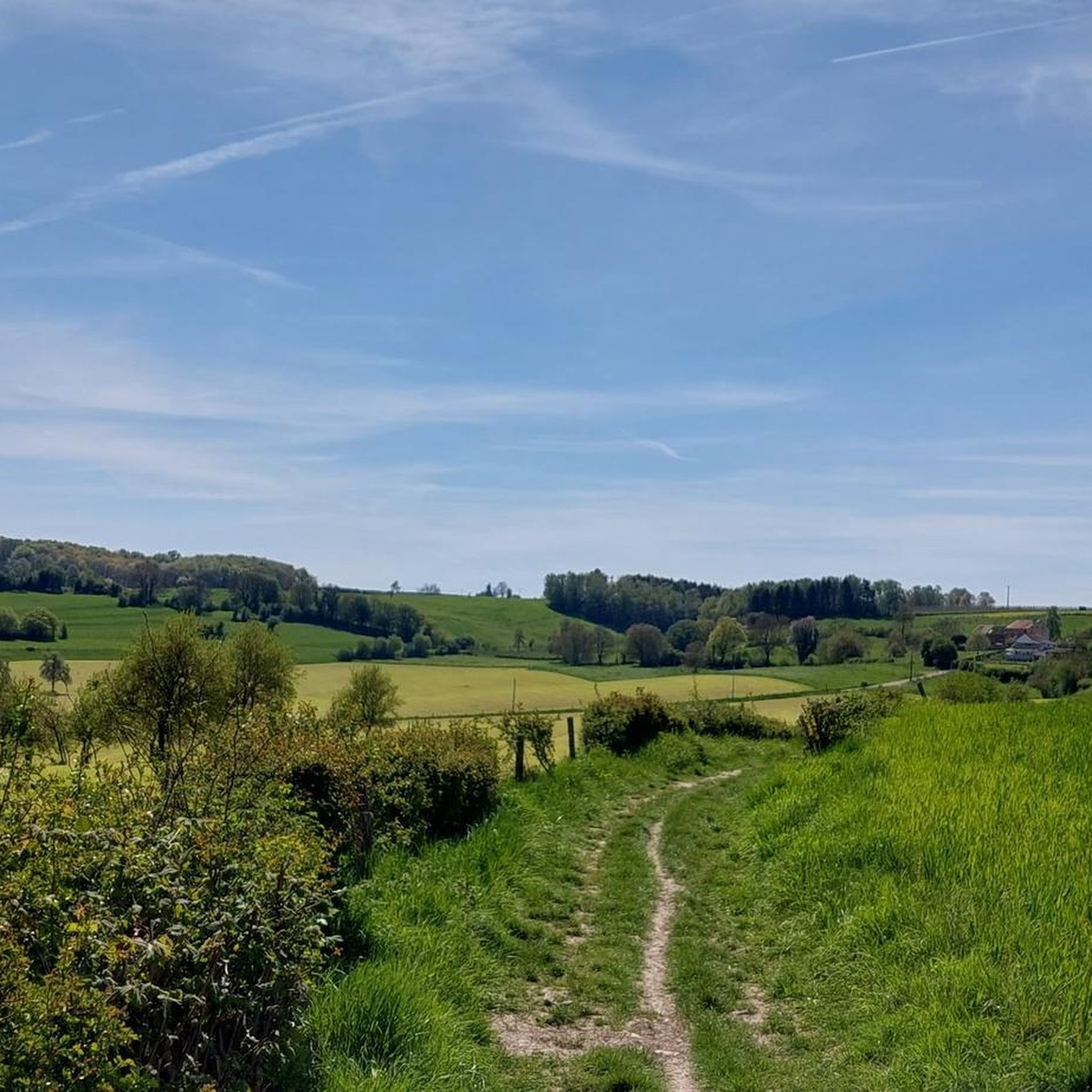
The view over Sint-Pieters-Voeren is characterized by a harmonious blend of historical heritage and a rolling, green bocage landscape. The village is nestled in the Voer stream valley, surrounded by wooded slopes and vast meadows.
4
0
The origin of this dry valley dates back to the ice ages. Thanks to different soil types, diverse plants grow in the valley, which in turn attracts many animals. Some are ecologically very valuable and even enjoy European protection. The fact that so many animals can be admired here is therefore directly related to the valley's origin story. The steep southwest-facing slope is more calcareous than the rest of the nature reserve. That specific soil and the microclimate on the slope ensure that calcareous grasslands thrive here excellently. These grasslands are a paradise for insects such as grasshoppers and butterflies. The northeast-facing, much less steep slope consists almost entirely of meadows and high-stemmed orchards with a mosaic of species-rich calcareous grasslands and Yorkshire fog grasslands. Natuur en Bos (Nature and Forest) wants to preserve and further develop certain grasslands. We do this, together with local farmers, by implementing localized mowing with subsequent grazing. The hawthorn hedges are also pruned annually. We leave some old, tall-growing hedges standing, creating hedgerows full of berries and flowers.
5
0

The Noordal is a 94-hectare nature reserve located in the Noordal valley west of Noorbeek and crossed by the Noor stream. The area is owned by the Dutch Society for Nature Conservation (Vereniging Natuurmonumenten) and is adjacent to the Belgian nature reserve Altembroek. The area consists of four sections: Wolfsberg, Bergenhuizen, Noorbeemden, and Matzedelle. These include wet meadows, swamp forest, dry slopes, ponds, and standard orchards. All of this is integrated into a small-scale cultural landscape. There are ditches and sunken roads. Source: https://nl.wikipedia.org/wiki/Noordal_(natuurgebied)
2
0
Frequently Asked Questions
How many hiking trails are available in Voeren?
Voeren offers an extensive network of over 200 hiking trails, catering to various preferences and skill levels. The region is known for its diverse landscapes, from rolling hills to dense forests and charming villages.
What kind of difficulty levels can I expect for hiking trails in Voeren?
The hiking trails in Voeren range from easy strolls to more challenging treks. You'll find over 80 easy routes, more than 100 moderate paths, and around 14 difficult trails, ensuring there's something for every hiker. The extensive signposted network allows you to customize your routes.
Are there family-friendly hiking trails in Voeren?
Yes, Voeren has many trails suitable for families, including over 80 easy routes. The region also features play forests, offering an adventurous and educational experience for children. Consider the View of 's-Gravenvoeren – Lankwater Play Stream loop from 's-Gravenvoeren - Fouron-le-Comte, which is a moderate 9.5 km path that passes by a play stream.
Can I bring my dog on the hiking trails in Voeren?
Many trails in Voeren are suitable for hiking with dogs. While specific rules can vary, it's generally recommended to keep your dog on a leash, especially in nature reserves and areas with wildlife, to ensure the safety and enjoyment of all trail users and local fauna.
What are the best seasons for hiking in Voeren?
Voeren is beautiful year-round, but spring and autumn are particularly popular. In spring, the meadows and forests burst with wildflowers, while autumn transforms the landscape with vibrant fall colors. The region's dense forests also offer pleasant shade during warmer summer months.
Are there any circular hiking routes in Voeren?
Yes, Voeren is well-known for its extensive network of circular routes, making it easy to start and end your hike in the same location. Many of the region's trails, like the Path Under a Canopy of Trees – Broekbos loop from Voeren - Fourons, are designed as loops, allowing you to explore without retracing your steps.
What kind of terrain can I expect on the hiking trails in Voeren?
Voeren's terrain is characterized by rolling hills, deep valleys, and dense forests. You'll encounter a mix of paved paths, dirt trails, and grassy tracks, often traversing through bocage landscapes with hedges and woodlands. The undulating topography provides both scenic views and varied walking experiences.
What interesting landmarks or attractions can I see along the hiking trails?
Voeren's trails often lead past picturesque villages with authentic half-timbered houses, churches, and chapels. You can also discover historical sites such as the Commandery of Sint-Pieters-Voeren, a beautiful castle with trout breeding ponds, or the old railway viaduct in Sint-Martens-Voeren.
Are there places to eat or drink along the hiking routes?
Yes, many hiking routes in Voeren pass by cozy huts or traditional taverns where you can enjoy local cuisine and refreshments. The charming villages like 's-Gravenvoeren and Teuven often have establishments perfect for a break during your hike.
What do other hikers enjoy most about hiking in Voeren?
The area is highly rated by the komoot community, with an average score of 4.6 stars from over 3900 reviews. Hikers often praise the region's diverse and picturesque landscapes, the well-maintained and extensive network of trails, and the charming villages and historical points of interest encountered along the way.
Are there any trails that feature unique natural elements like springs or specific forests?
Yes, Voeren is rich in natural features. The region is dotted with numerous streams and natural springs, including the source of the Voer river in Sint-Pieters-Voeren. You can also explore dense forests like the 'Red Forest,' known for its primeval character, or the Veursbos Valley, featured in trails like the Trail through Veursbos Valley – Broekbos Nature Reserve loop from Remersdaal - Rémersdael.
Is public transport available to access hiking trails in Voeren?
While Voeren is best explored by car for maximum flexibility, some villages are accessible by public transport, which can serve as starting points for hikes. For detailed information on bus routes and schedules, it's advisable to check local public transport websites or consult Visit Limburg's Voer region page for travel advice.
Most popular routes around Voeren
Most popular attractions around Voeren

Get inspired with the komoot mobile app


Explore more
Browse the best Hikes in other regions.
