The best road cycling routes around Linter
3.9
(8)
519
riders
54
rides
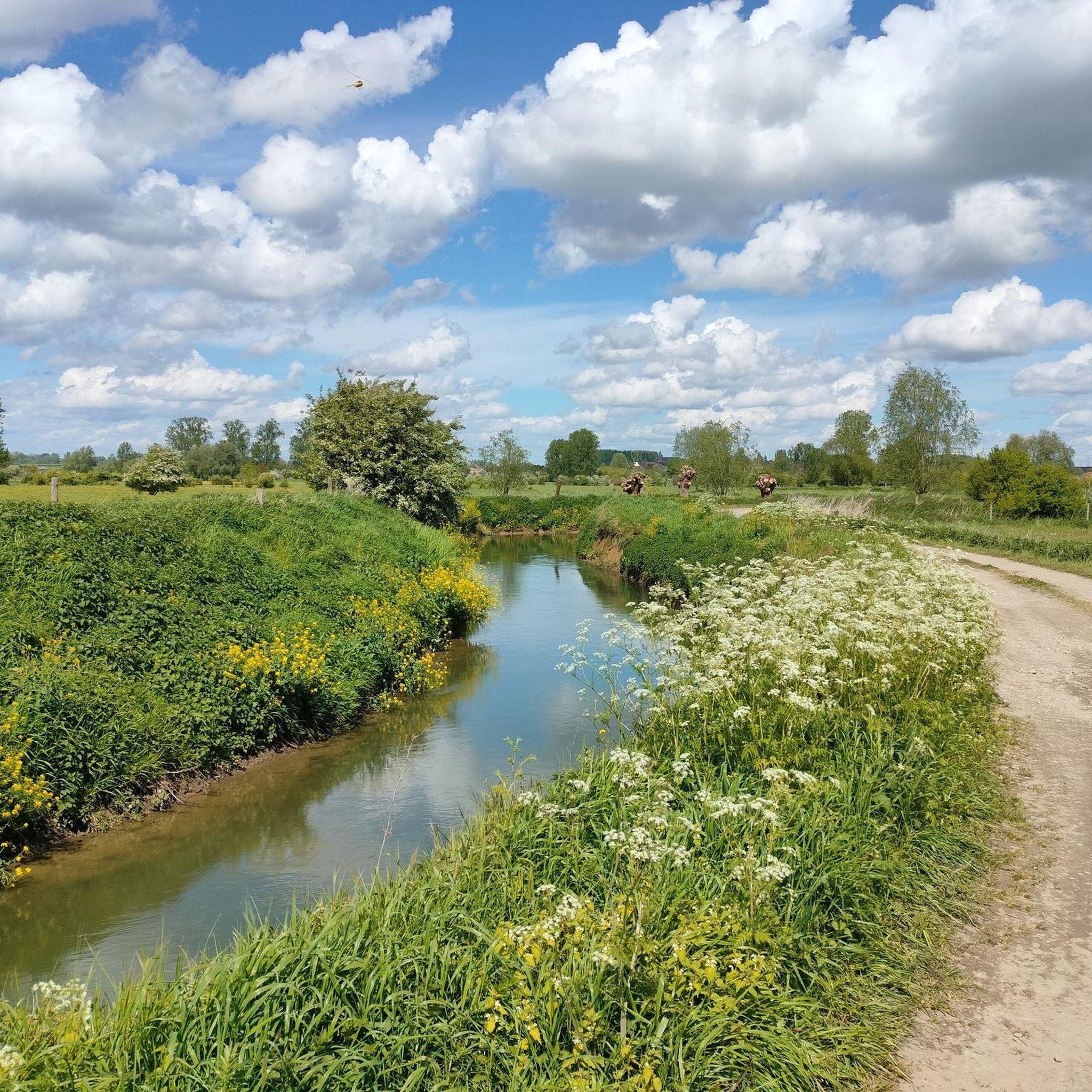
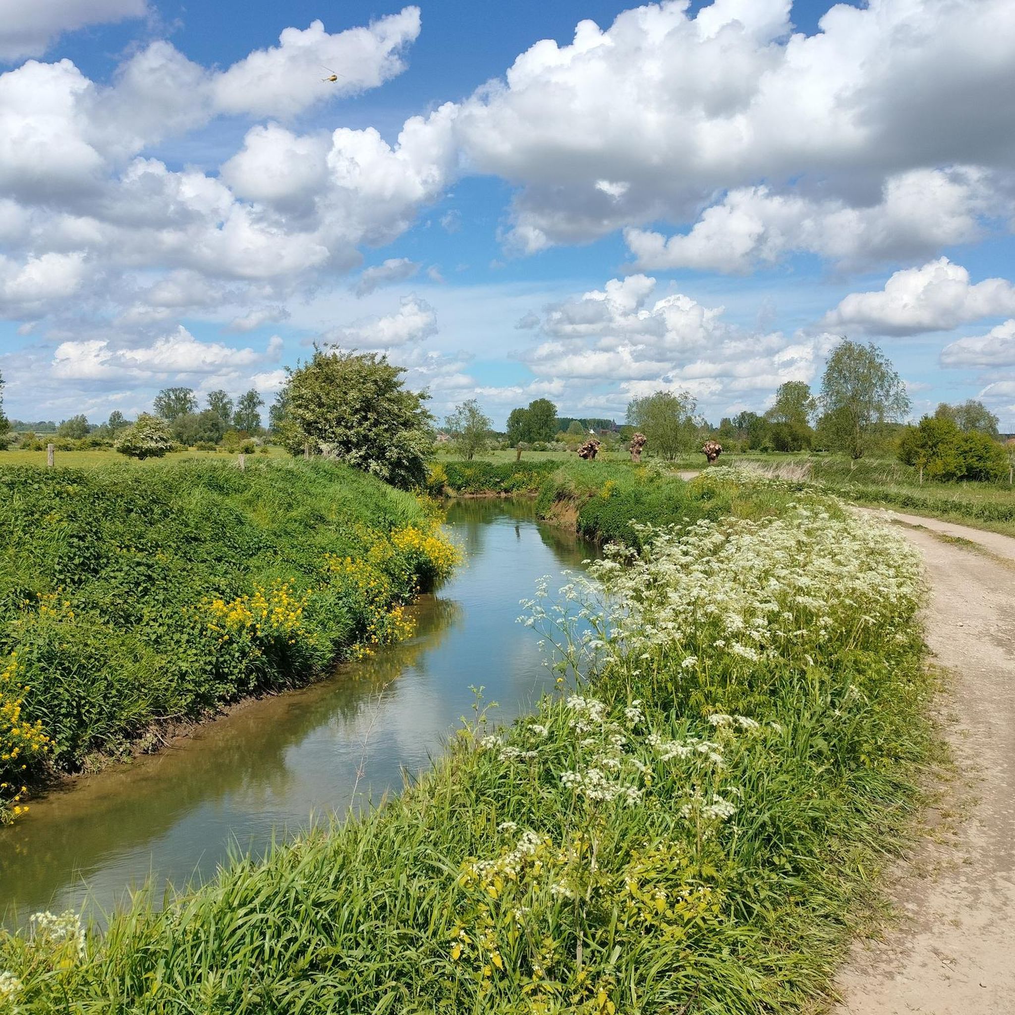
Road cycling routes around Linter traverse a landscape characterized by gentle, rolling terrain and agricultural plains, typical of the Flemish region. The area features a network of paved roads and dedicated cycling paths, often following river valleys such as the Grote Gete. Cyclists can expect routes that connect small villages, historical landmarks like châteaux and water towers, and occasional nature reserves. The elevation changes are generally modest, making the region accessible for various fitness levels.
Best road cycling routes around Linter
- The most popular road cycling route is RAVeL Hoegaarden–Namur – Marollenkapel loop from Neerhespen, a 28.5 miles (45.9 km) trail that takes 2 hours 19 minutes to complete. This route utilizes a smooth RAVeL path, connecting scenic points and historical chapels.
- Another top favourite among local road cyclists is View of the Grote Gete – Webbekoms Broek Nature Reserve loop from Drieslinter, a moderate 28.0 miles (45.1 km) path. This route offers views of the Grote Gete river and passes through the Webbekoms Broek Nature Reserve.
- Local road cyclists also love the Landen Water Tower – Château de Blehen loop from Linter, a 40.9 miles (65.9 km) trail leading through varied countryside and past architectural landmarks, often completed in about 2 hours 59 minutes.
- Road cycling around Linter is defined by gentle river valleys, agricultural landscapes, and historical landmarks. The network offers options for easy, moderate, and difficult routes, catering to different ability levels.
- The routes in Linter are highly rated by the komoot community with an average score of 3.9 stars from more than 5 reviews. More than 400 road cyclists have used komoot to explore Linter's varied terrain.
Last updated: July 5, 2026
4.5
(2)
58
riders
46.0km
02:20
280m
280m
Moderate road ride. Good fitness required. Some segments of this route may be unpaved and difficult to ride.
4.5
(2)
60
riders
Moderate road ride. Good fitness required. Mostly well-paved surfaces and easy to ride.

Sign up for free
38
riders
Moderate road ride. Good fitness required. Mostly well-paved surfaces and easy to ride.
20
riders
64.4km
02:54
360m
360m
Moderate road ride. Good fitness required. Some segments of this route may be unpaved and difficult to ride.
18
riders
65.1km
02:51
350m
350m
Moderate road ride. Good fitness required. Mostly well-paved surfaces and easy to ride.
Get access to more routes and recommendations from other explorers.
Sign up for free
Already have an account?
Our route recommendations are based on thousands of hikes, rides, and runs completed by other people on komoot.
Start today with a free account
Your next adventure awaits.
Login or Signup

Other adventures around Linter

Tips from the Community

Webbekoms Broek is part of the Webbekomsbroek-Borchbeemden Flemish Nature Reserve, a contiguous area of 397 hectares managed by the Flemish Agency for Nature and Forests. This also includes the Diesters Broek, the Schaffens Broek, and the Borchbeemden: Rotbroek, Gorenbroek, and Sint-Jansberg. Several watercourses flow through the area. The most important of these is the Demer. The others are primarily its tributary, the Zwarte Beek, the Grote Leigracht, and the Leigracht. The Demer Valley has been plagued by floods for centuries. The most severe floods in recent history date back to 1998. There were also serious floods in Diest in 2008. To prevent severe water damage, retention basins and floodplains were installed. The Webbekoms Broek and its surroundings constitute a floodplain. In September 1998, a retention basin with a surface area of 144 hectares was put into operation in the Webbekoms Broek. The area can hold 3.5 million m³ of water. There is an inner basin and an outer basin. The inner basin is surrounded by dikes. The remainder forms the outer basin, which primarily functions as a nature reserve.
1
1

Basilica-style building on a trapezoidal plan; four bays on the east side culminating in a square choir and crowned on the south side by a massive tower. Interesting tower volume in transitional style (mid-13th century). Quartzite plinth and tuff facing. Three stories: the ground floor currently features a pointed arch arcade; the bell storey has four paired sound holes with a Romanesque column surmounted by a cube capital. The spire dates from the 17th century. Gothic naves covered with mullioned beams or a flat ceiling; north entrance. The choir, also built of tuff, dates from the third quarter of the 13th century; the apse features an oculus and a three-light window with a three-lobed archivolt. Inventory of Immovable Heritage: Parish Church of St. John the Baptist, https://id.erfgoed.net/erfgoedobjecten/43465
5
0

Northeast of the Sint-Jansberg monastery complex on Schomstraat lies the Oude Pastorij farm, a U-shaped farm dating from the first half of the 19th century, with the open side of the yard facing the street. The brick buildings under gable roofs (Flemish pantiles), hipped on the side wings, are situated around a rectangular yard separated from the street by a long wall and several recent service buildings. The house is located in the center of the central wing, a double house of four bays and two stories on a raised ground floor with a pitched plinth. The rectangular windows have wooden lintels and painted sills, and the rectangular door has a wooden lintel. The house is flanked on both sides by slightly projecting stables of three bays each, with a modified layout. Spacious transverse barns are housed in the perpendicular wings, each of three bays and equipped with an anchored brick basket-arch gate. These volumes feature arched windows and rectangular doors beneath a wooden lintel. Inventory of Immovable Heritage: Carthusian Monastery of Sint-Jansberg and its surroundings, https://id.erfgoed.net/erfgoedobjecten/302683
4
0
The municipality of Zelem had three parsonages throughout its history. The first was, and still is, located on the Kolenberg and called "Hoeve Oude Pastorij," better known locally as the "Donkelhoeve." Between 1969 and 1972, this farm served as a filming location for the BRT serial "Wij, Heren van Zichem" (We, Lords of Zichem), stories about "De Witte van Sichem" (The White Man of Sichem) and "Het leven van Herman Coene" (The Life of Herman Coene), written by Ernest Claes. In those stories, the farm belonged to farmer Coene. In those days, the pastor's residence was always connected to a farm that provided the pastor with his daily necessities.
5
0
The forest is characterized by a wide variety of tree species of various ages. Surrounded by agricultural lands and old standard orchards, some trees in this forest have survived since 1900. It's no wonder that tree-dwellers like the squirrel and the woodpecker thrive in Sint-Jansberg. Even the deadwood teems with life. Its history is closely linked to the neighboring Carthusian Monastery, so the estate forest also holds significant archaeological value. So far, eight hectares of the field surrounding the Carthusian Monastery has been reforested with native tree species. Sint-Jansberg, along with Rotbroek and Gorenbroek, forms part of the larger Borchbeemden area.
8
0


Sometimes busy, but otherwise ideal for a bit of acceleration. But if you really want to, the small roads around it are much nicer in terms of views.
0
0
Frequently Asked Questions
How many road cycling routes are available around Linter?
There are over 45 road cycling routes around Linter, offering a variety of options for different preferences and fitness levels. These include 8 easy routes, 39 moderate routes, and 1 difficult route.
What is the general terrain like for road cycling in Linter?
The road cycling terrain around Linter is characterized by gentle, rolling landscapes and agricultural plains, typical of the Flemish region. You'll find a network of paved roads and dedicated cycling paths, often following river valleys like the Grote Gete. Elevation changes are generally modest, making the area accessible for various fitness levels.
What interesting landmarks or natural features can I see along the road cycling routes in Linter?
Linter's road cycling routes often pass by historical landmarks and natural points of interest. You might encounter structures like the Hélécine Estate, the Nieuwenhoven Castle, or the Sint-Hymelinus Spring. Routes also offer views of the Grote Gete river and pass through areas like the Webbekoms Broek Nature Reserve.
Are there any castles to explore while cycling in the Linter area?
Yes, the region around Linter features several castles that can be incorporated into your cycling tours. Notable examples include the impressive Hélécine Estate, Nieuwenhoven Castle, and Château d'Opheylissem. These historical sites add a cultural dimension to your ride.
What do other road cyclists think about the routes in Linter?
The road cycling routes in Linter are highly rated by the komoot community, with an average score of 3.9 stars from more than 5 reviews. Cyclists often appreciate the varied countryside, the gentle river valleys, and the historical landmarks encountered along the way.
Are there any circular road cycling routes in Linter?
Many of the road cycling routes around Linter are designed as loops, allowing you to start and finish at the same point. For example, the RAVeL Hoegaarden–Namur – Marollenkapel loop from Neerhespen and the Landen Water Tower – Château de Blehen loop from Linter are popular circular options.
What are some longer road cycling routes for experienced riders?
For experienced riders seeking longer distances, routes like the Landen Water Tower – Château de Blehen loop from Linter, which is about 40.9 miles (65.9 km), or the Hélécine Castle – Racour Station loop from Wommersom at 40.5 miles (65.1 km), offer substantial rides through varied countryside.
Are there any routes that follow dedicated cycling paths?
Yes, some routes in the Linter area utilize dedicated cycling paths. A notable example is the RAVeL Hoegaarden–Namur – Marollenkapel loop from Neerhespen, which incorporates a smooth RAVeL path, connecting scenic points and historical chapels.
What kind of elevation can I expect on Linter's road cycling routes?
The road cycling routes in Linter generally feature modest elevation changes, characterized by gentle, rolling terrain. While some routes, like the Landen Water Tower – Château de Blehen loop from Linter, can have around 378 meters of ascent, many others, such as the View of the Grote Gete – Webbekoms Broek Nature Reserve loop from Drieslinter, have less than 100 meters of elevation gain, making them suitable for various fitness levels.
Are there family-friendly road cycling options in Linter?
Given the generally modest elevation changes and the presence of dedicated cycling paths, many of the easier and moderate routes around Linter can be suitable for families. Routes with lower elevation gain and those utilizing smooth RAVeL paths are often a good choice for a more relaxed family outing.
Can I find routes that offer views of natural reserves?
Absolutely. The View of the Grote Gete – Webbekoms Broek Nature Reserve loop from Drieslinter is a prime example, offering scenic views of the Grote Gete river and passing directly through the Webbekoms Broek Nature Reserve, allowing cyclists to enjoy the local flora and fauna.
Most popular attractions around Linter

Get inspired with the komoot mobile app


Explore more
Browse the best Road cycling routes in other regions.
