The best running trails around Stekene
4.6
(60)
4,021
runners
284
runs
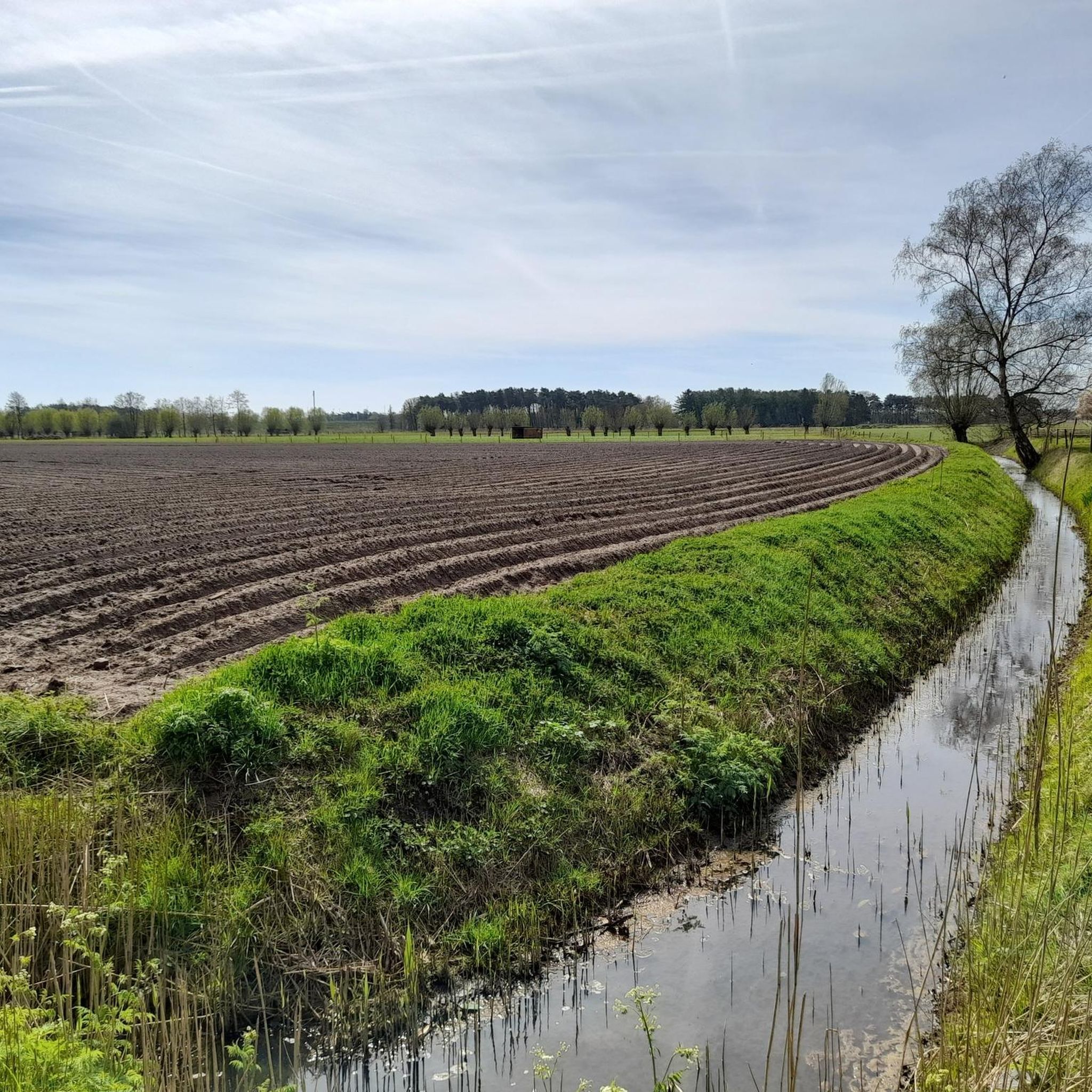
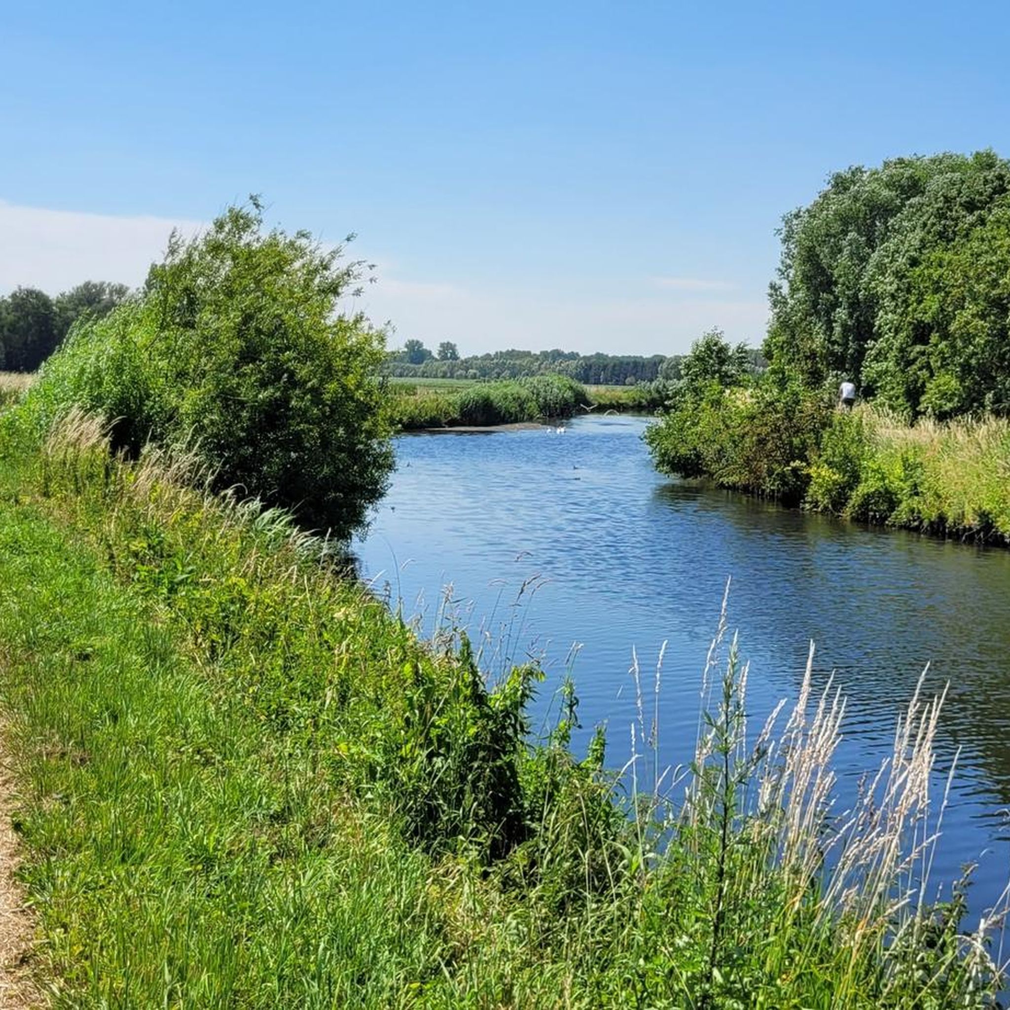
Jogging around Stekene offers a network of routes through varied landscapes. The region is characterized by its flat terrain, featuring numerous canals, creeks, and woodlands such as the Clinge Play Forest and Stropersbos. Running routes often follow waterways and traverse open fields, providing a mix of natural environments. These trails are generally low in elevation gain, making them suitable for sustained running efforts.
Best jogging routes around Stekene
- The most popular jogging route is Clinge Play Forest – Dodendraad (Wire…
Last updated: August 11, 2026
4.0
(1)
112
runners
Hard run. Very good fitness required. Mostly paved surfaces. Suitable for all skill levels.
4.3
(3)
80
runners
Hard run. Very good fitness required. Mostly paved surfaces. Suitable for all skill levels.

Sign up for free
4.5
(4)
100
runners
12.5km
01:25
20m
20m
Moderate run. Good fitness required. Mostly paved surfaces. Suitable for all skill levels.
3.0
(1)
67
runners
12.7km
01:23
10m
10m
Moderate run. Good fitness required. Mostly paved surfaces. Suitable for all skill levels.
5.0
(1)
76
runners
Moderate run. Good fitness required. Mostly paved surfaces. Suitable for all skill levels.
Get access to more routes and recommendations from other explorers.
Sign up for free
Already have an account?
Our route recommendations are based on thousands of hikes, rides, and runs completed by other people on komoot.
Start today with a free account
Your next adventure awaits.
Login or Signup

Other adventures around Stekene

Tips from the Community

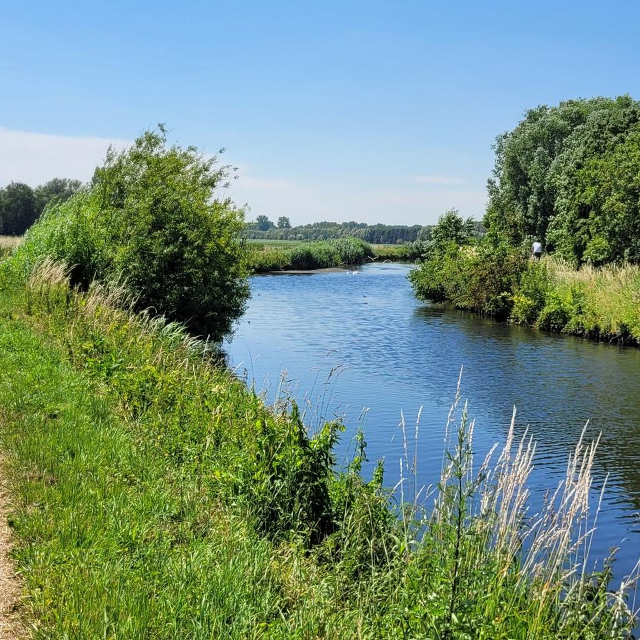
The Perenboomsgat is one of the creeks that is silting up to some extent, creating striking reed lands. The entire southern part of the horseshoe-shaped creek has silted up. In the northern part, there is still an open water section in the west, although strong silting is already occurring here too. Part of this creek remnant lies on Dutch territory, where the banks are managed naturally. The Grote Kreek and Pereboomsgat creeks contain little brackish water and therefore have a lower salt content than, for example, the Sint-Elooiskreek located slightly further west. Source: Inventory of Immovable Heritage
2
0
This is the 292nd of 369 (or 388 if you count the double posts on the Grensmaas as two each time ;-)) border posts. The 291st is slightly to the east on the Beukendreef/Oude Karnemelksstraat, and no. 293 is to the west, near the Kruisstraat & Provinciale Weg. Between posts 292 and 293 there are no fewer than 5 auxiliary border stones (292a to f). Furthermore, in the middle of the Perenboomskreek, below the waterline, there are wooden posts marking the border. Apparently, it has to be quite precise to the (centi)meter here. Discussion about where the border lies is clearly excluded here. A striking detail on post 292 is the somewhat strange design of the two 2's, as if they are reversed S's (see photos). source: grenspalen.one
2
0
The Maraîchine is a French beef cattle breed. The breed originates from – and is named after – the Marais Poitevin, the marshland on the Atlantic coast of the Vendée department in western France. The Maraîchine is known for its milk production and its adaptability to marshy areas. After the Second World War, the breed was threatened with extinction due to specialization in livestock farming. However, in the 1980s, the breed was saved by a group of friends and L'Institut de l'élevage; they rebuilt the population with the help of scattered animals. Thanks to the conservation program, the number of animals is now increasing again. source: Wikipedia
2
0
Koewacht has two churches with the same name, Sint-Philippus en Jacobuskerk: one (old) on Belgian territory and one (younger) on Dutch territory. This concerns the Belgian church. In 1687, the chapel on Kruisstraat in Moerbeke was largely demolished and transferred to Koewacht on the Dutch border. This chapel was demolished in 1713, followed by the laying of the foundation stone for the new church, part of the current place of worship, namely a south-oriented hall church with a tower at the front, which was consecrated in 1714 by the Bishop of Ghent, P. Van der Noot. The parish work was carried out by Recollect fathers and also included the Dutch territory of Koewacht. In 1850, an extension was added to the south side of the church. Until 1914, the church also served the residents of Dutch Koewacht. In 1916, they obtained a wooden emergency church, which was replaced in 1921 by a new church building (slightly further north, on the Kerkplein) with the same patron saints as the church on Belgian territory, which was recognized as a separate Belgian parish church in the same year and taken over by the Diocese of Ghent. The church was deconsecrated in 2019. Parts of the interior, such as the baptismal font and the altar with relics, have been transferred to the church of the same name in the Dutch part of Koewacht.[2] Since then, the municipality of Moerbeke has used the church as a storage facility, pending a new purpose. source: Inventaris Onroerend Erfgoed & Wikipedia
1
0

Sculptor Nand Huyghe contributed for years with his artworks to the 'Beeldenroute' in Terneuzen. After his death in 2020, his heirs donated more than twenty sculptures from the art route to the municipality of Terneuzen. One of them, 'The Kiss', was placed on June 1, 2024, at the intersection of the Stekene sub-municipality Koewacht and Tragel in the Netherlands. “The initiative came from the village council of Koewacht”, say Mayor Stany De Rechter (GeBe) and cultural alderman Gunter Van Campenhout (GeBe), who solemnly inaugurated the sculpture. “The artwork symbolizes the connection between the municipalities of Stekene and Terneuzen.”
1
0
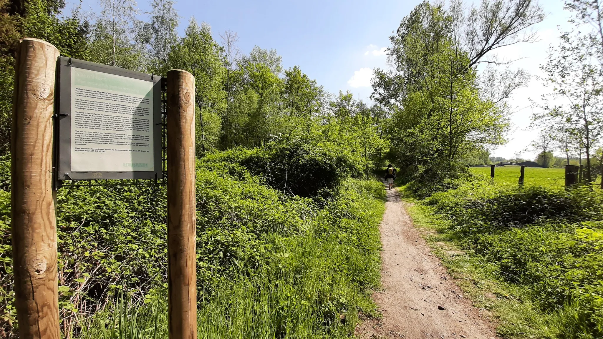
The Stropersbos is located right on the Belgian-Dutch border and forms a whole with the Clingse Bossen, as the forest on the Dutch side of the border is called. The history of the forest dates back to the 13th century. This means that the forest has experienced wars, and from one of those wars, the War of the Spanish Succession (1702-1713), very clear traces can still be seen: there are still a number of remnants of the Line that served here in 1701. A little further north, there are also remains of Fort Sint-Jan (from which the Dutch municipality Sint-Jan-Steen derives its name). But even if you are not interested in that history, the Stropersbos is a special place, both for the tree and plant lover, the birdwatcher, the playing child, the boot-wearing walker who likes to trudge through mud, the bivouacker, ... and everyone who simply enjoys a walk. There is a good chance you will encounter wild horses, pass grazing sheep, or that - who knows, maybe you'll be as lucky as I was - roe deer or a fox will cross your path. In short: a very beautiful hiking area ...
3
0
The smuggling trade thrived in De Klinge and its surroundings. This illegal cross-border trade went in both directions, with all sorts of products being smuggled to the Netherlands or Belgium. In the spring of 1915, the Germans attempted to put a stop to smuggling by constructing the "dodendraad" (death wire). An electric wire under high voltage was intended to deter smugglers. The high voltage on the "Dodendraad" meant that people were electrocuted upon the slightest contact. The inhabitants were not yet aware of the dangers of electricity during this period. For this reason, protective wires were placed on either side, made of barbed wire or chicken wire. The German occupiers wanted to prevent war volunteers, espionage messages, or smugglers from crossing the border with the border barrier. Inventive smugglers quickly found numerous ways to overcome the wire, yet hundreds of daredevils lost their lives during their crossing along the Belgian-Dutch border. At least three victims fell in De Klinge and Meerdonk. After the Second World War, the eternal cat-and-mouse game between customs officers and smugglers became grimmer. Butter smuggling became a lucrative business, and armored cars, "kraaienpoten" (crow's feet), and firearms made their appearance. The "kraaienpoot" was made of metal and had four points. There was always one sharp point facing upwards, intended to puncture the tires of customs service vehicles. Here, at the "Dodendraadmonument", lies an enlarged "kraaienpoot". The "dodendraad" was constructed in the summer of 1915; in November 2015, a section was reconstructed at the border post. On the site, in 2015, on the occasion of the 100th anniversary of the installation of the "dodendraad", a linden tree was planted, donated by the Koninklijke Oudheidkundige Kring van het Land van Waas. source: tracesofwar.nl
2
0
The numbers of the border posts on the Belgian-Dutch border run upwards from border post number 1 at the Drielandenpunt in Vaals, to 369 near Retranchement. It's funny that neither the first nor the last post is actually on the border (the evolution of the Zwin is partly responsible for the last post). On almost all posts, the year 1843 is shown. Only in Zeeuws-Vlaanderen are there 7 border posts with a later year, which were placed after land reclamation. The posts are made of cast iron and weigh 372 kilograms. Each post is equipped with the Belgian Lion on the Belgian side and the Dutch Lion with sword and arrows on the other side. And each post has a number. The Belgian-Dutch border is 458 kilometers long. On average, the posts are therefore just over a kilometer apart. source: bestemmingbuitenlucht.nl/
2
0
Frequently Asked Questions
How many running routes are available around Stekene?
Stekene offers a wide selection of running routes, with over 260 different options recorded on komoot. These routes cater to various preferences, from easy jogs to more challenging long-distance runs.
Are there easy jogging routes suitable for beginners in Stekene?
Yes, Stekene has approximately 25 easy jogging routes, perfect for beginners or those looking for a relaxed run. The region's generally flat terrain makes it ideal for sustained, less strenuous efforts.
Can I find family-friendly running trails in Stekene?
Many of Stekene's routes are suitable for families, especially those that are shorter and have minimal elevation gain. The flat polder landscapes and woodland paths offer a pleasant environment for all ages to enjoy a run together.
Are dogs allowed on the jogging trails in Stekene?
While specific regulations can vary, many natural areas and trails around Stekene are dog-friendly, often requiring dogs to be kept on a leash. It's always a good idea to check local signage or specific route details for any restrictions.
What kind of scenery can I expect on the running routes around Stekene?
Jogging routes in Stekene offer diverse scenery, characterized by flat polder landscapes, tranquil canals, creeks, and extensive woodlands. You'll often find yourself running alongside waterways or through areas like the Clinge Play Forest and Stropersbos.
Are there circular running routes available in Stekene?
Yes, many of the running routes in Stekene are circular, allowing you to start and finish at the same point. An example is the Pereboomsgat Creek – Boundary marker no. 292 loop from Koewacht, which is a moderate 7.8-mile (12.6 km) trail.
What are some interesting landmarks or attractions I can see along the running routes?
Many routes pass by interesting natural and historical sites. For instance, you might encounter the Spanish Line in Stropersbos, a historical site, or natural reserves like Groot Eiland Nature Reserve and De Buylaers Nature Reserve. Some routes also lead past the Puyenbroeck Provincial Park.
Are there running routes with good parking facilities in Stekene?
Many popular starting points for running routes in Stekene, especially near recreational areas or villages, offer convenient parking. For example, routes starting from Kapellebrug or Koewacht often have accessible parking nearby.
What is the typical length of running trails in Stekene?
The lengths of running trails in Stekene vary significantly. You can find shorter routes for quick jogs, while longer options like the Stekense Canal – Stekense Vaart loop from Klein-Sinaai offer distances of over 6 miles (10 km) for more endurance-focused runs.
What do other runners say about the trails in Stekene?
The running routes in Stekene are highly regarded by the komoot community, with an average rating of 4.5 stars from over 30 reviews. Runners often praise the tranquil canals, extensive woodlands, and the variety of terrain suitable for different ability levels.
Are there any less crowded running trails in Stekene?
While popular routes can see more activity, Stekene's extensive network of trails, especially those venturing deeper into the woodlands or along less-trafficked canals, can offer a more secluded running experience. Exploring routes slightly off the main paths can lead to quieter jogs.
Can I find routes that include a coffee stop or refreshment point?
Many routes pass through or near villages and towns where you can find cafes or shops for a refreshment break. Planning your route to include a stop in places like Stekene center or nearby hamlets can enhance your running experience.
Most popular attractions around Stekene

Get inspired with the komoot mobile app


Explore more
Browse the best Running Trails & Routes in other regions.
