The best walks and hikes around Riemst
4.4
(1510)
6,050
hikers
270
hikes
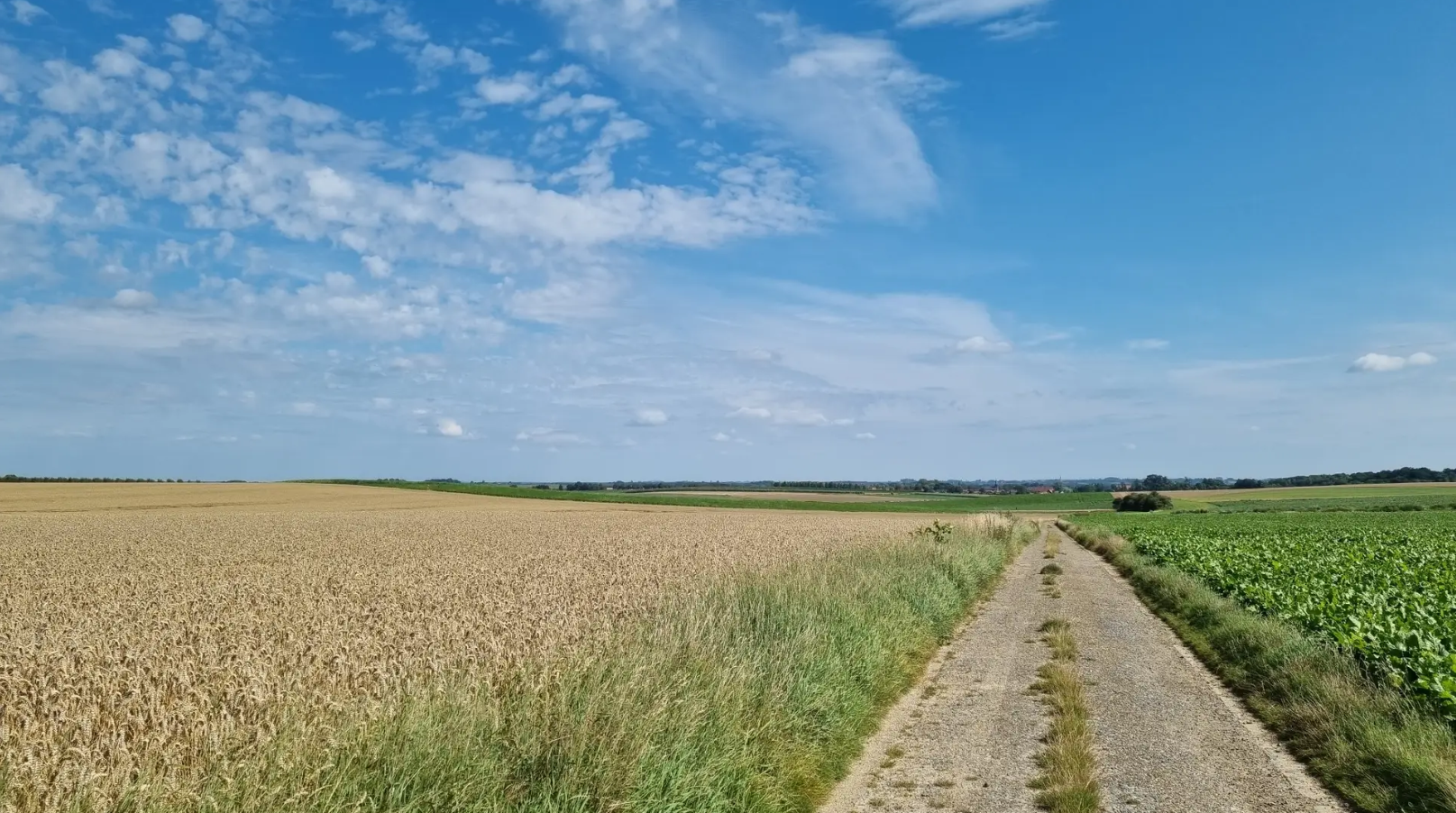
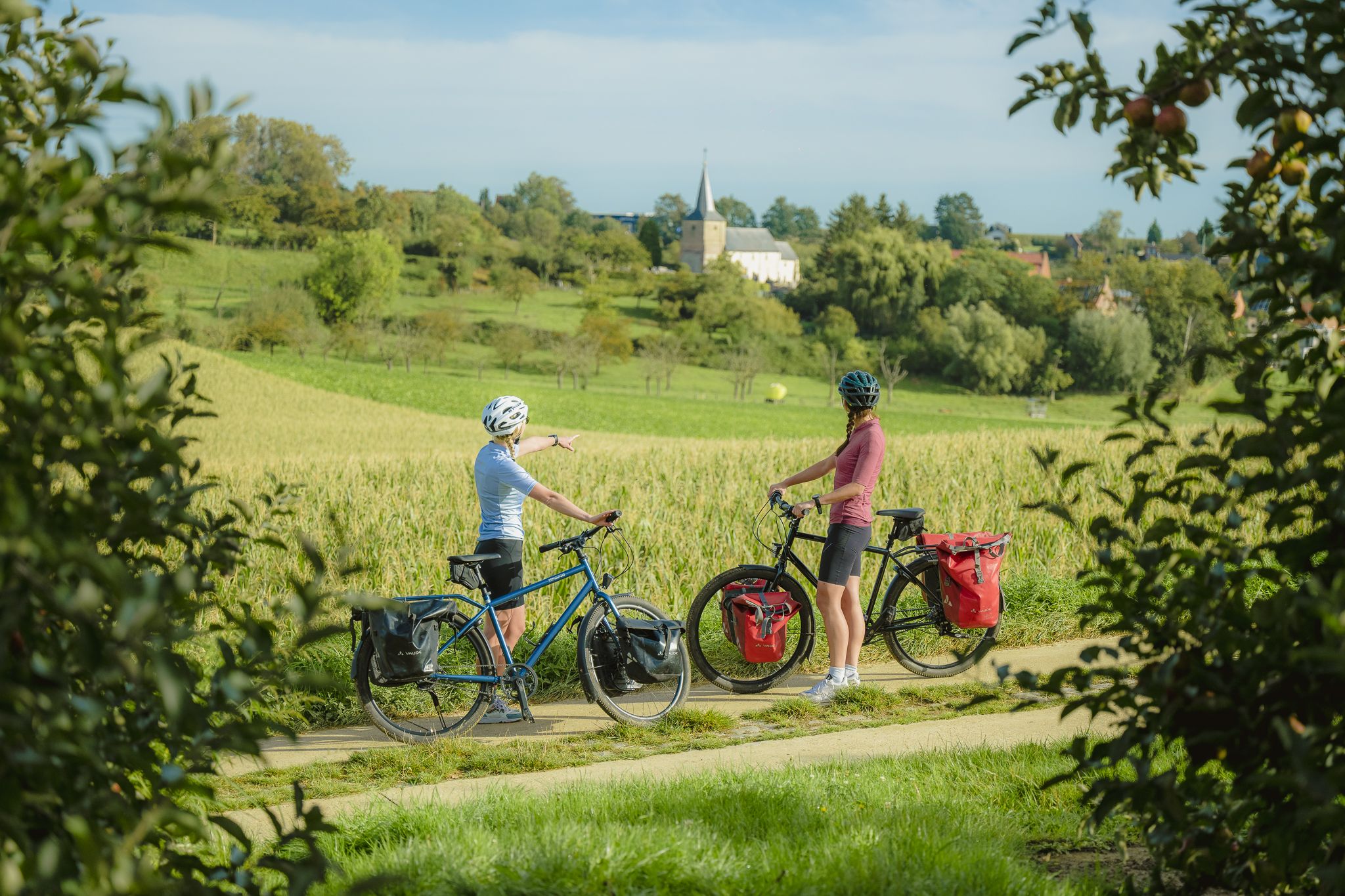
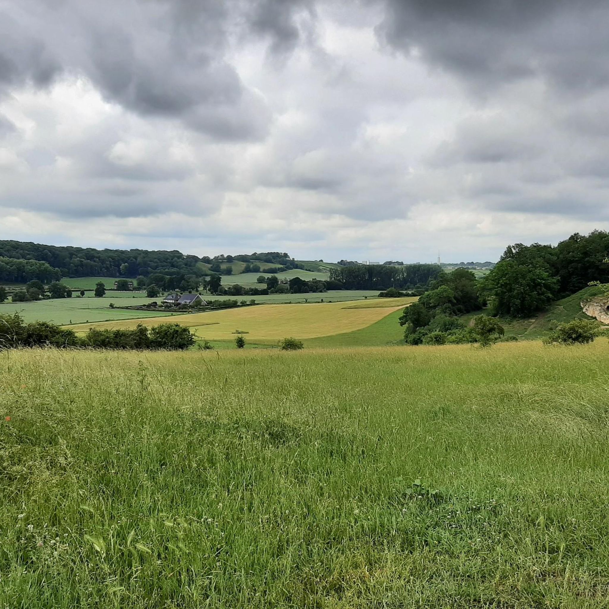
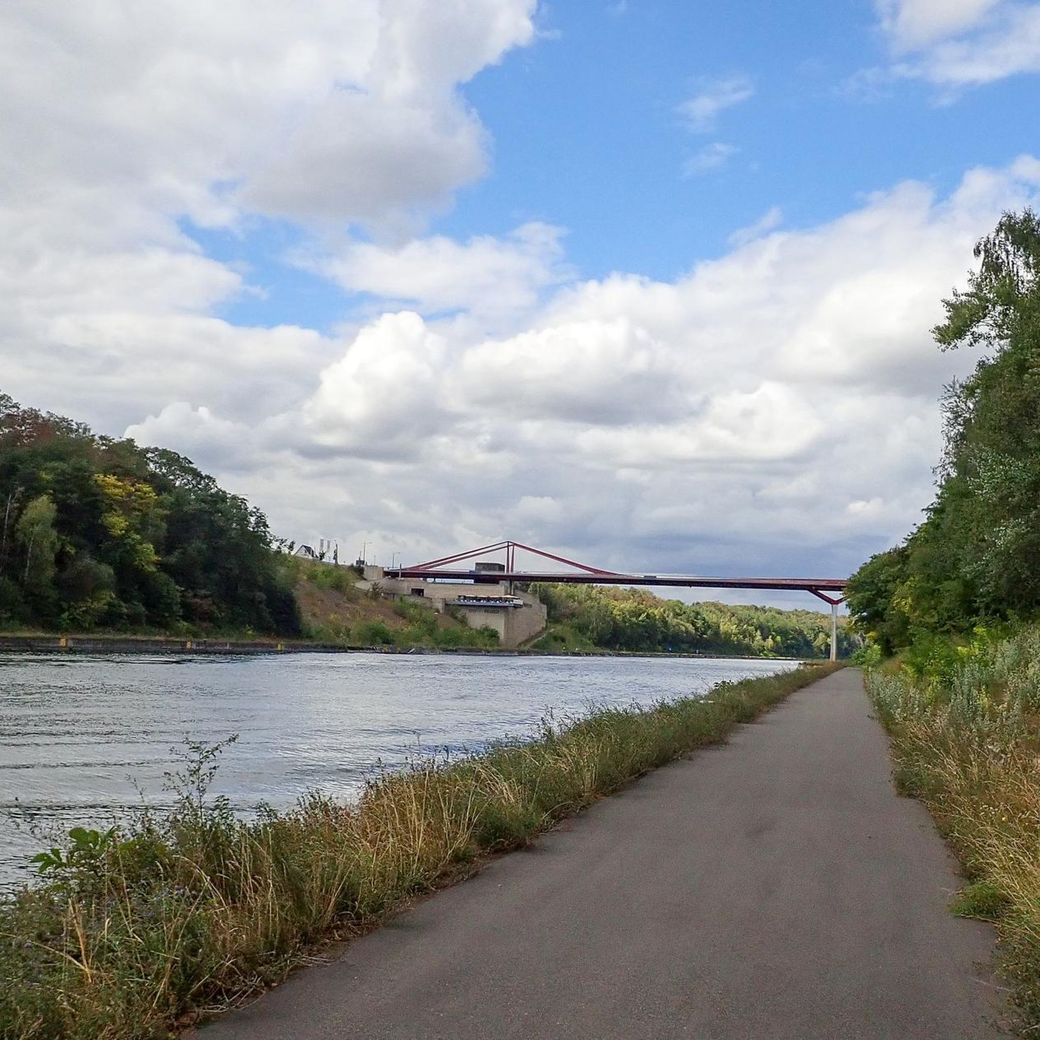
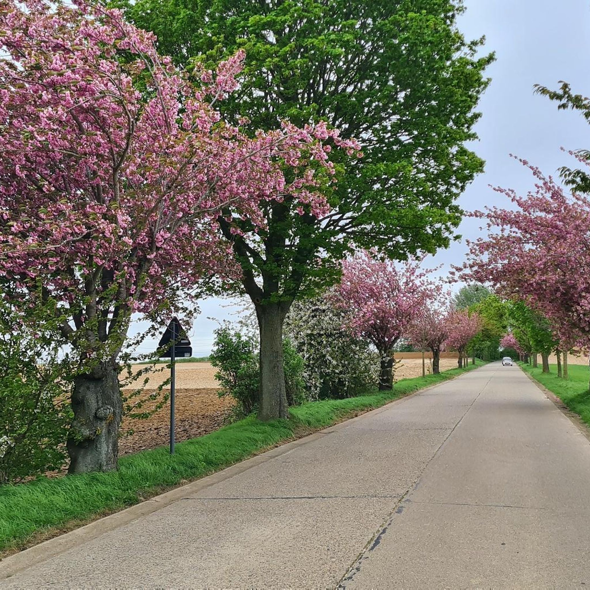
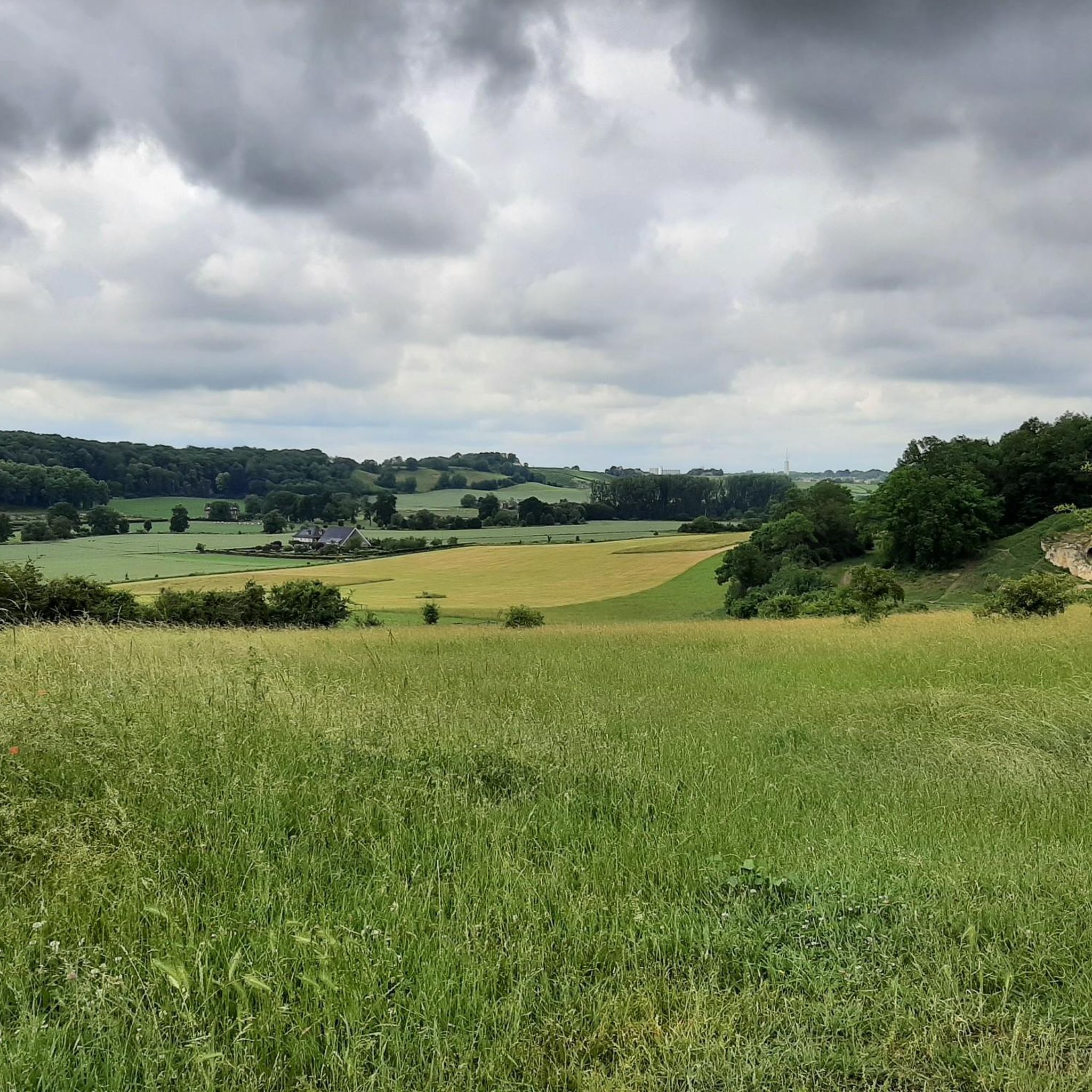
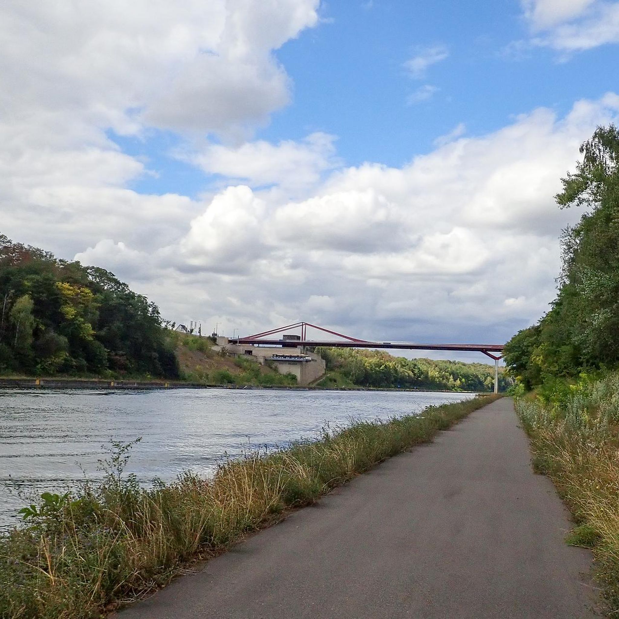
Hiking around Riemst offers exploration of a tranquil municipality in Belgian Limburg, characterized by rolling landscapes and unique marl geology. The region features distinctive marl walls, especially along the Albert Canal, and fertile fields that transform with the seasons. Hikers will find varied terrain including the Caestert Plateau, Sint-Pietersberg, and areas with vineyards.
Best hiking trails around Riemst
- The most popular hiking route is Kanne Grenzeloos - Orange hiking route, a 5.0 miles (8.1 km) trail that takes 2…
Last updated: October 2, 2026
4.6
(264)
962
hikers
8.11km
02:11
110m
110m
Moderate hike. Good fitness required. Mostly accessible paths. Sure-footedness required.
4.6
(29)
166
hikers
9.05km
02:32
170m
170m
Hard hike. Good fitness required. Sure-footedness, sturdy shoes and alpine experience required.

4.3
(24)
126
hikers
Easy hike. Great for any fitness level. Easily-accessible paths. Suitable for all skill levels.
4.7
(111)
450
hikers
13.7km
03:41
160m
160m
Moderate hike. Good fitness required. Easily-accessible paths. Suitable for all skill levels.
4.8
(35)
212
hikers
8.57km
02:20
120m
120m
Moderate hike. Good fitness required. Easily-accessible paths. Suitable for all skill levels.
Get access to more routes and recommendations from other explorers.
Already have an account?
Our route recommendations are based on thousands of hikes, rides, and runs completed by other people on komoot.
Start today with a free account
Your next adventure awaits.



Tips from the Community

These wooden stairs are being installed to make it safer for hikers. The steep slopes with many pebbles are - and especially in wet weather - dangerous to slip or fall on.
3
0
Along the entire Belgian-Dutch border (458 km), border posts were placed pursuant to the treaty of Maastricht of 8 August 1843. The demarcation of the border begins with border post number 1 at the Drielandenpunt in Vaals and ends with border post number 365 in the Zwin, west of Retranchement in Zeelandic Flanders. The cast-iron posts are provided with black-painted coats of arms of Belgium and the Netherlands in relief, the year 1843 and the post number. Between the cast-iron posts, 356 bluestone auxiliary stones or intermediate stones were also placed. These boundary stones are smaller than the cast-iron posts and are located at places where a country road crosses the border or at equal distance between widely spaced border posts, or where the border makes a corner at a very short distance from each other. Border post 365 was the last post until 1869. Further on towards the North Sea, the border was formed by the Zwin estuary. After the area was diked, border posts 366 to 369 were placed. They bear the year 1869.
3
0
Sint-Pietersberg offers a unique mosaic of open chalk grasslands and light-permeable forests, worth visiting for every nature lover. On the 'Sint-Pietersberg' you will feel like you are in a foreign country. Where else can you find such beautiful hills and such a special marl landscape? The Plateau of Caestert consists of valuable slope forests and chalk grasslands, a rare biotope in Flanders. Beneath the forests and grasslands are unique marl quarries, which form a true paradise for a dozen species of bats.
3
0
The fathers walked from their monastery in Maastricht across the border to Kanne to reach the Jesuit Quarry. The 'Jezuitenpad' is therefore the specific route that took the Maastricht fathers across the Belgian border and through the forests of Kanne. The small bridge is part of this route.
3
0
NAVO-hoofdkwartier Cannerberg / Joint Operations Centre (JOC) was gedurende de Koude Oorlog een geheim hoofdkwartier en verbindingscentrum van de NAVO in het zuiden van de Nederlandse gemeente Maastricht. De zwaarbeveiligde bunker met het ondergrondse hoofdkwartier was gevestigd in de Boschberg, een voormalige mergelgroeve in de Cannerberg nabij het kasteel Neercanne, in het grensgebied met België.
3
0
The exploitation of the Fallenberggroeve quarry, to which the Jezuïetenberg belongs, began many centuries ago when limestone was used as building stone. The fact that the tunnel system now houses a unique underground museum is thanks to the Jesuit fathers from Maastricht. Between 1860 and 1960, scholastics and theologians from the Jesuit order went into the quarry on their free Wednesdays for recreation. They made drawings, paintings, sculptures, and statues there, resulting in a unique collection of artworks. More info: https://www.jezuietenberg.eu/
3
0

Beautiful small path along the Maas!
0
0

A beautiful place. A visit is recommended
0
0
Frequently Asked Questions
How many hiking trails are available in Riemst?
Riemst offers a wide selection of hiking routes, with over 190 trails available for exploration. These range from easy strolls to more challenging treks, catering to various fitness levels.
What kind of landscapes can I expect to see while hiking in Riemst?
Riemst is characterized by its unique 'Mergelland' marl landscape, featuring rolling hills, fertile fields, and distinctive marl walls, especially along the Albert Canal. You'll also encounter picturesque vineyards, the serene Caestert Plateau, and the iconic Sint-Pietersberg with its varied adventure paths and panoramic views.
What do other hikers enjoy most about the trails in Riemst?
The hiking routes in Riemst are highly rated by the komoot community, with an average score of 4.5 stars from over 1300 reviews. Hikers often praise the diverse landscapes, from the unique marl areas to the peaceful vineyards, and the well-maintained paths that offer surprising discoveries and scenic viewpoints.
Are there any easy hiking routes suitable for beginners in Riemst?
Yes, Riemst has plenty of options for beginners or those looking for a relaxed walk. Over 130 of the available routes are classified as easy. An example is the Neercanne — 52 Steps and Terrace – Footbridge over the Jeker loop from Kanne, which is about 5.4 km long and takes around 1 hour 30 minutes.
Are there any circular hiking routes in Riemst?
Many of the hiking routes in Riemst are designed as circular paths, allowing you to start and end at the same point. For instance, the ENCI Quarry Viewpoint – Lichtenberg Castle Ruin loop from Kanne is a popular circular trail offering varied terrain and panoramic views.
What unique natural attractions can I discover along the hiking trails?
Riemst is famous for its extensive network of marl caves, such as the Thier des Vignes Flint Caves or the Strooberggroeve (Bemelen Caves). You can also find impressive viewpoints like the Bemelerberg Climb, offering an 'alpine feeling' and expansive views.
Are there any historical sites or landmarks to see while hiking in Riemst?
Absolutely. The region is rich in history. You might encounter sites like Fort Eben-Emael, the Vroenhoven Bridge, or even the Fort Sint Pieter. The area also boasts Belgium's oldest wine castle, Wine Castle Genoels-Elderen, which offers tours and tastings.
Are the hiking trails in Riemst suitable for families with children?
Yes, Riemst offers many family-friendly hiking options. The varied terrain and shorter, easier routes make it enjoyable for all ages. Look for trails that pass by interesting natural features or historical sites to keep children engaged.
Is it possible to hike with dogs in Riemst?
Many trails in Riemst are dog-friendly, allowing you to explore the beautiful landscapes with your canine companion. However, it's always advisable to keep dogs on a leash, especially in nature reserves or areas with livestock, and to check for specific local regulations along your chosen route.
What is the best time of year to go hiking in Riemst?
Riemst offers beautiful hiking experiences throughout the year. Spring brings vibrant greens and blooming wildflowers, while summer transforms the fields into a patchwork of gold. Autumn provides stunning colors across the rolling landscapes. The unique marl landscape and underground caves can be explored in most seasons, though conditions in areas like the Geul Valley can vary with weather.
Are there places to eat or drink near the hiking trails in Riemst?
Yes, Riemst's tranquil villages often have charming cafes and pubs where you can stop for refreshments. Given the region's 'southern feel' and vineyards, you might also find opportunities for wine tasting or local culinary delights along your route.
Is parking available at the trailheads in Riemst?
Parking is generally available at or near the starting points of many popular hiking routes in Riemst. Specific parking information can often be found on local tourism websites or within the komoot tour details for individual routes.
Can I access hiking trails in Riemst using public transport?
While Riemst is a tranquil municipality, some villages and trailheads may be accessible via public transport, particularly bus services connecting to larger towns like Maastricht or Tongeren. It's recommended to check local bus schedules and routes in advance to plan your journey.
Most popular routes around Riemst
Most popular attractions around Riemst

Get inspired with the komoot mobile app


Explore more
Browse the best Hikes in other regions.
