The best road cycling routes around Wachtebeke
4.2
(14)
830
riders
62
rides
Road cycling around Wachtebeke is characterized by its predominantly flat terrain, making it suitable for steady speeds and longer distances. The region features picturesque waterways, including the Moervaart and Zuidlede rivers, which many routes follow. Extensive green spaces and forests, such as the Provincial Domain Puyenbroeck, Stropersbos, and Heidebos, provide varied natural environments for cyclists. Overall, the area offers a low elevation gain, with routes typically featuring minor ascents and descents.
Best road cycling routes around Wachtebeke
- The most popular road cycling route is Moervaart in Wachtebeke – Moervaart Canal Path loop from Wachtebeke, a 26.8 miles (43.1 km) moderate trail that takes 2 hours 11 minutes to complete. This route follows the scenic Moervaart Canal Path.
- Another top favourite among local road cyclists is Moervaart Towpath in Moerbeke – Bridge Over the Durme loop from Wachtebeke, an easy 21.0 miles (33.8 km) path. This route offers tranquil views along the Moervaart Towpath.
- Local road cyclists also love the Gent-Terneuzen Canal – Langelede Cycle Street loop from Wachtebeke, a 22.4 miles (36.0 km) trail leading through the area around the Gent-Terneuzen Canal, often completed in about 1 hour 42 minutes.
- Road cycling around Wachtebeke is defined by flat terrain, scenic waterways, and green spaces like the Provincial Domain Puyenbroeck. The network offers options for easy and moderate ability levels.
- The routes in Wachtebeke are highly rated by the komoot community with an average score of 4.0 stars from more than 10 reviews. More than 600 road cyclists have used komoot to explore Wachtebeke's varied terrain.
Last updated: August 11, 2026
3.6
(5)
113
riders
Moderate road ride. Good fitness required. Some segments of this route may be unpaved and difficult to ride.
4.5
(2)
94
riders
Easy road ride. Great for any fitness level. Mostly well-paved surfaces and easy to ride.

Sign up for free
72
riders
Moderate road ride. Good fitness required. Some segments of this route may be unpaved and difficult to ride.
4.8
(5)
66
riders
Moderate road ride. Great for any fitness level. Some segments of this route may be unpaved and difficult to ride.
34
riders
7.71km
00:21
10m
10m
Easy road ride. Great for any fitness level. Mostly well-paved surfaces and easy to ride.
Get access to more routes and recommendations from other explorers.
Sign up for free
Already have an account?
Our route recommendations are based on thousands of hikes, rides, and runs completed by other people on komoot.
Start today with a free account
Your next adventure awaits.
Login or Signup
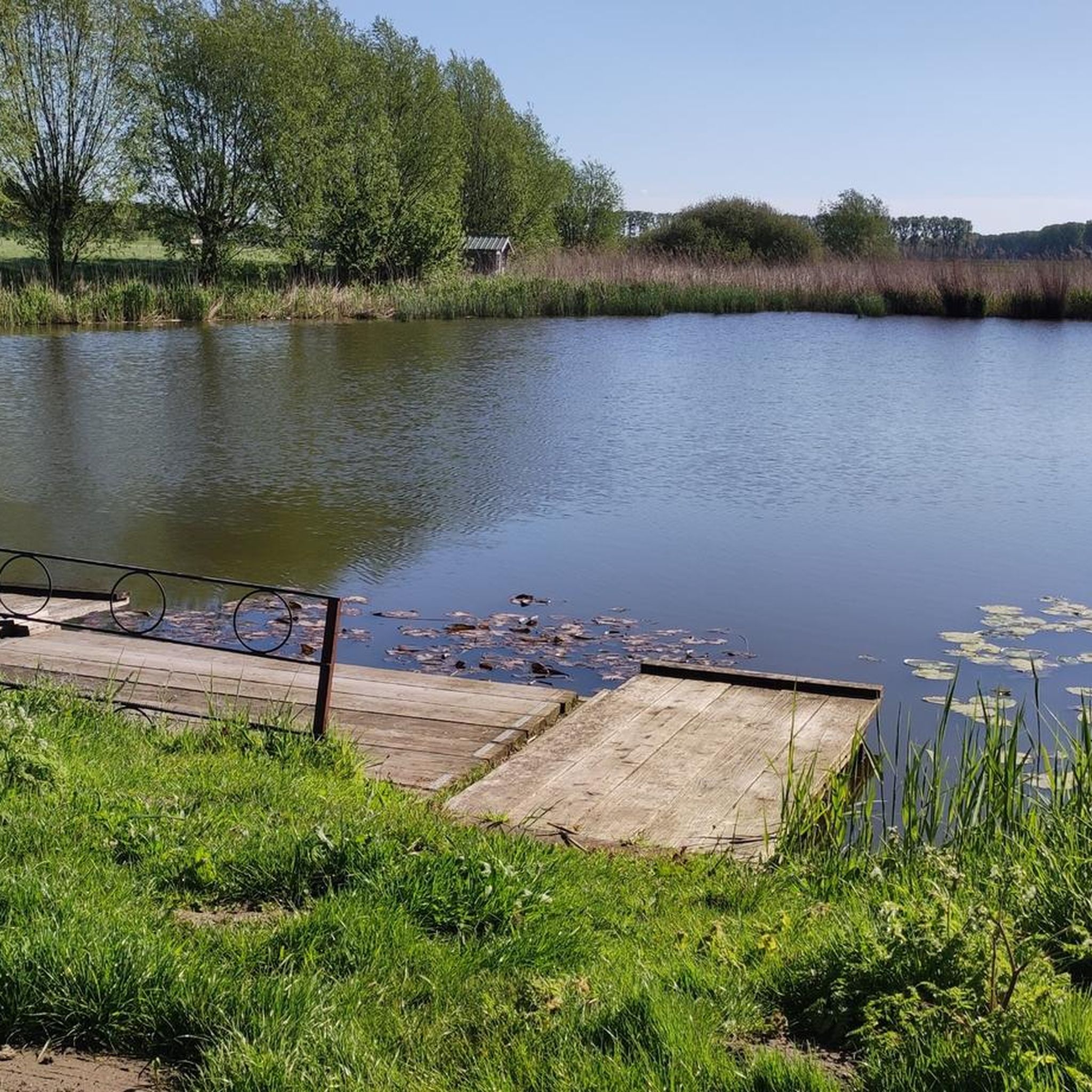
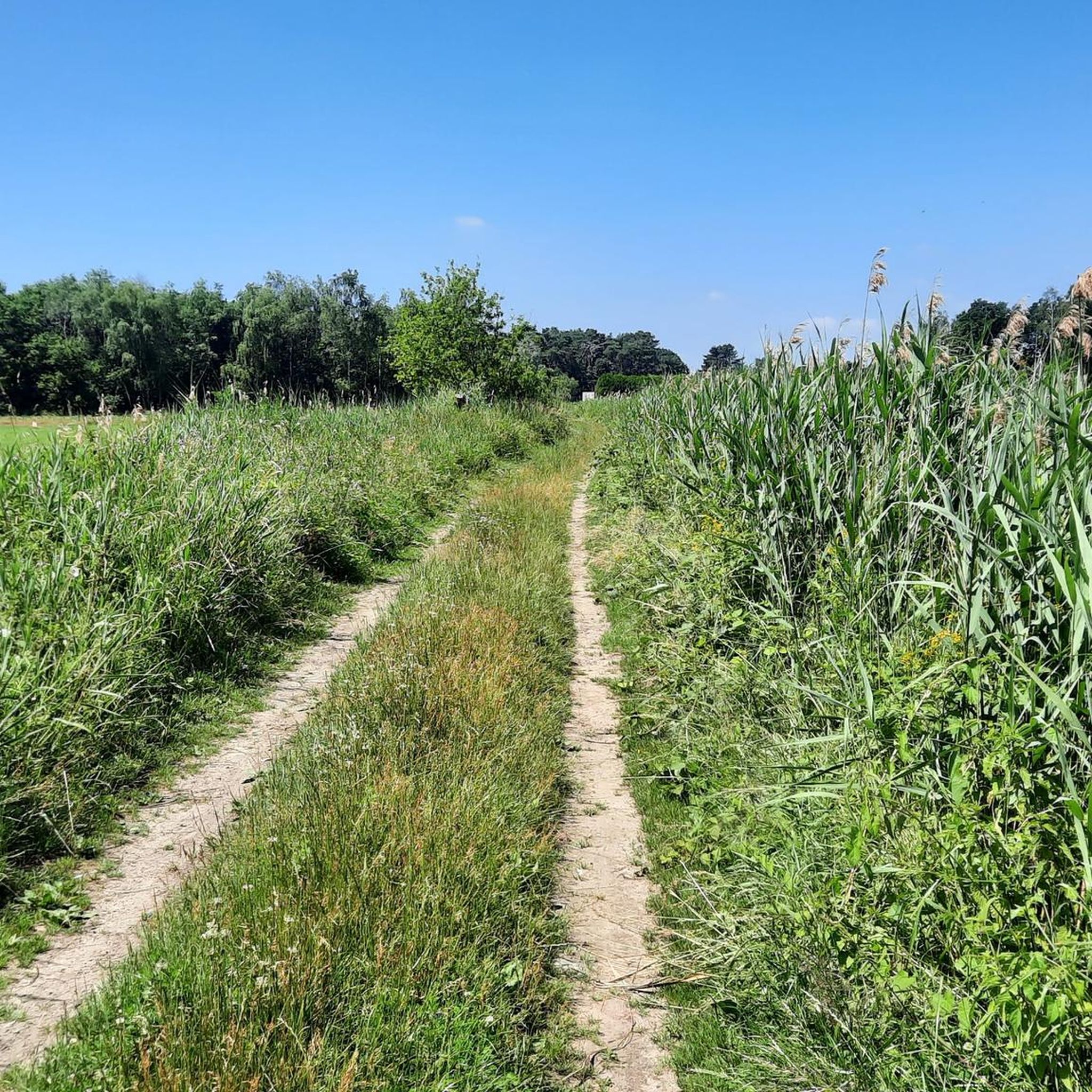
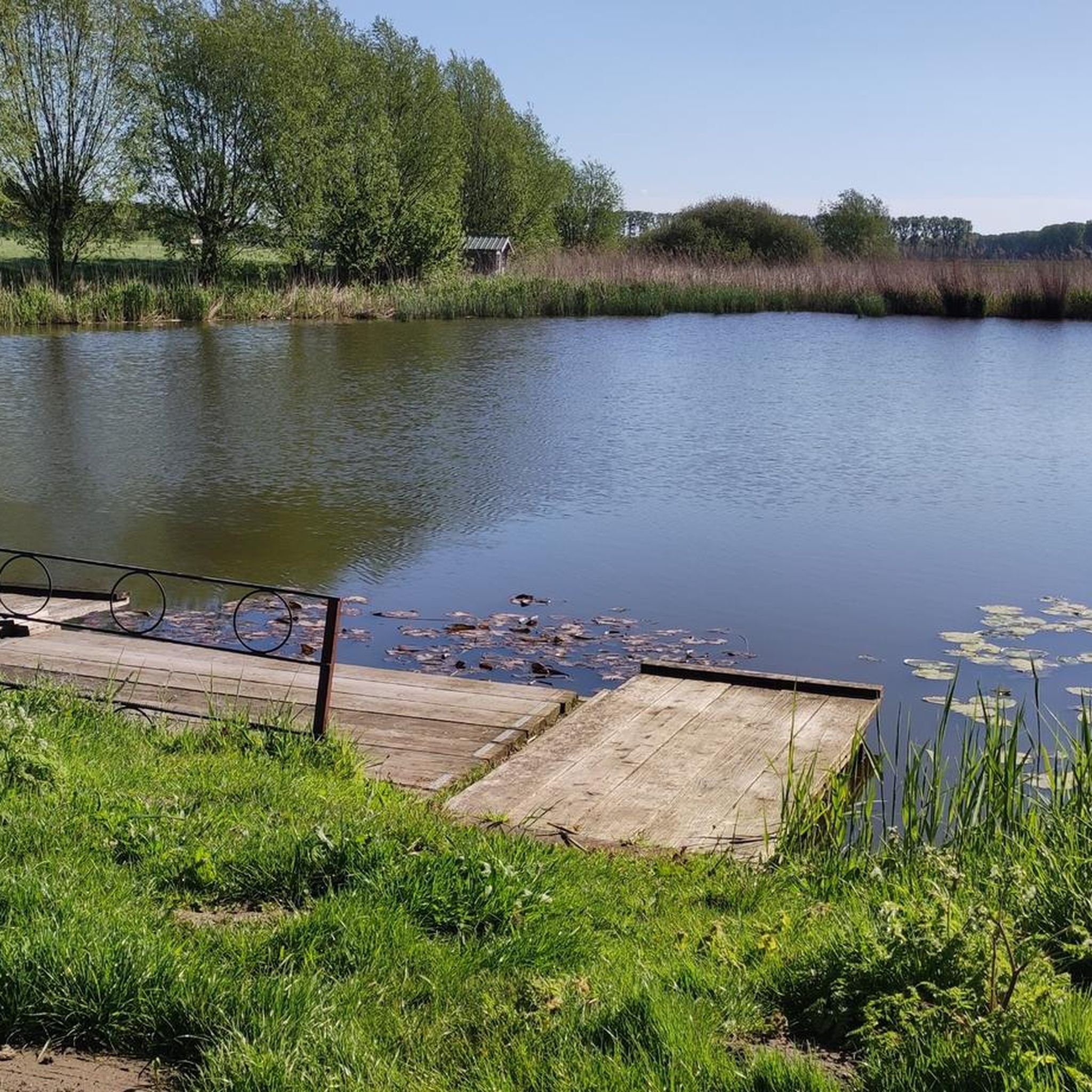
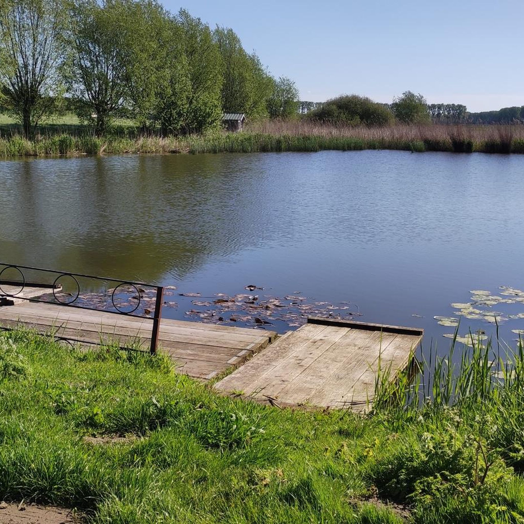

Tips from the Community

As others have already written, two points to keep in mind: 1. Expect a considerable waiting time. 2. When waiting, it’s best to stand out of the wind, as this is truly a 'wind tunnel'. And another fact: the total length of the bridge (fixed and movable sections combined) is 293 meters.
2
0
Along the entire Belgian-Dutch border (458 km), boundary posts were erected in accordance with the Treaty of Maastricht of 8 August 1843. This was actually a concrete implementation of the Separation Treaty that Belgium and the Netherlands signed in London in 1839, as a result of Belgium's declaration of independence in 1830. The cast-iron posts are equipped with black-painted coats of arms of Belgium and the Netherlands in relief, the year 1843, and the post number. Where post 306 stands, the border is formed by a ditch up to the St Franciscuspolder. It is also the contact point between Zuiddorpe (NL), Wachtebeke (B), and Zelzate (B). source: Inventaris Onroerend Erfgoed & grenspalen.nl
2
0
The Langelede was probably originally a tributary of the Durme, which was canalized as early as the early Middle Ages during the exploitation of the peat bogs. The Langelede was already mentioned in documents from the 14th century. It leads from the Moervaart (to the south) to the hamlet of Oudeburgse Sluis on the border with the Netherlands (to the north). In 1775 it was straightened with renewed bridge construction and a lock at the border with the Netherlands (the former so-called Sint-Eloyssluis, later Oudeburgse sluis). source: Inventaris Onroerend Erfgoed
2
0
Luxurious yachts lie next to dilapidated boats. Bizarre contrast.
2
0

beautiful bridge made of natural materials
1
0

Name is wrong. This is the bridge of Sas van Gent.
1
0

This waterway 'De Langelede' is a man-made canal in the Belgian town of Wachtebeke, between the Dutch border and the Moervaart.
2
0

Nice piece between the trees to the hamlet of Schapenbout
0
0
Frequently Asked Questions
How many road cycling routes are available in Wachtebeke?
Wachtebeke offers a diverse selection of nearly 50 road cycling routes. These include 12 easy routes and 37 moderate routes, catering to various skill levels.
What is the typical terrain for road cycling in Wachtebeke?
The region around Wachtebeke is characterized by its predominantly flat to gently undulating terrain. This makes it ideal for road cyclists looking for routes without significant climbs, allowing for steady speeds and longer distances. You'll find well-maintained cycling infrastructure, including paved roads and dedicated cycleways.
Are there routes suitable for beginners or those seeking easy rides?
Yes, Wachtebeke has 12 easy road cycling routes. An excellent option for an easy ride is the Moervaart Towpath in Moerbeke – Bridge Over the Durme loop from Wachtebeke, which is 33.8 km long and offers tranquil views.
What natural features can I expect to see along road cycling routes in Wachtebeke?
Many routes follow picturesque waterways like the Moervaart and Zuidlede rivers, offering tranquil views. You'll also cycle through extensive green spaces and forests, such as the Stropersbos and Heidebos, providing shaded paths and a refreshing natural environment. The Moervaart Towpath is a prominent natural feature you'll encounter.
Are there any historical landmarks or points of interest near the cycling routes?
Yes, several routes pass by interesting landmarks. You might encounter historical sites like Wippelgem Castle or Lippens Castle (Moerbeke Town Hall). The Terwest Bridge in Moerbeke is another notable point of interest.
What do other road cyclists enjoy about cycling in Wachtebeke?
The road cycling routes in Wachtebeke are highly rated by the komoot community, with an average score of 4.0 stars from over 10 reviews. Cyclists often praise the flat terrain, scenic waterways, and the well-structured cycling network that makes exploring the area enjoyable.
Is parking available for road cyclists in Wachtebeke?
While specific parking locations for each route are not detailed, Wachtebeke is known for its good cycling infrastructure, suggesting that parking facilities are generally available in and around the main recreational areas like Provincial Domain Puyenbroeck, which serves as a central hub for outdoor activities.
Can I reach the cycling routes in Wachtebeke using public transport?
Wachtebeke is located in the Flemish Region of Belgium, which generally has good public transport connections. While specific routes to trailheads are not provided, it's advisable to check local bus or train schedules to Wachtebeke and plan your connection to the starting points of the routes.
Are there family-friendly road cycling options in Wachtebeke?
Given the predominantly flat terrain and the presence of dedicated cycle paths, many of Wachtebeke's easy and moderate routes are suitable for families. The Provincial Domain Puyenbroeck, with its extensive recreational offerings, is particularly family-friendly and often integrated into cycling routes.
What is the best time of year for road cycling in Wachtebeke?
The flat terrain of Wachtebeke makes it enjoyable for road cycling for much of the year. Spring and autumn offer pleasant temperatures and beautiful scenery. Summer is also suitable, especially when routes pass through shaded forest areas. Winter cycling is possible, but conditions may vary.
Are there cafes or places to stop for refreshments along the routes?
While specific cafes are not listed for every route, the popularity of cycling in Wachtebeke and the presence of recreational areas like Provincial Domain Puyenbroeck suggest that refreshment stops are available. Many routes pass through or near towns and villages where you can find cafes and pubs.
Are there circular road bike routes in Wachtebeke?
Yes, many of the road cycling routes in Wachtebeke are designed as loops, allowing you to start and end at the same point. Examples include the Moervaart in Wachtebeke – Moervaart Canal Path loop from Wachtebeke and the Gent-Terneuzen Canal – Langelede Cycle Street loop from Wachtebeke.
What is the average elevation gain on road cycling routes in Wachtebeke?
Road cycling routes in Wachtebeke are known for their low elevation gain. For instance, a 43.1 km route typically features around 45 meters of ascent, while a 33.8 km route might have about 33 meters. This minimal elevation change contributes to the region's appeal for steady and comfortable rides.
Most popular routes around Wachtebeke
Most popular attractions around Wachtebeke

Get inspired with the komoot mobile app


Explore more
Browse the best Road cycling routes in other regions.
