The best MTB trails around Unterschönau
4.6
(2488)
7,435
riders
370
rides
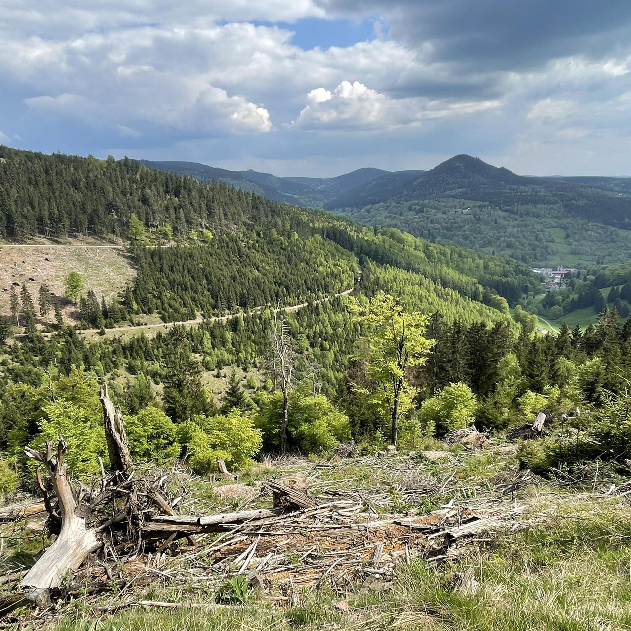
Mountain biking around Unterschönau offers diverse terrain for riders. The region is characterized by its varied landscape, including open meadows, dense forests, and the ridge trails of the Rennsteig. Mountain bike trails in Unterschönau often feature rolling hills and scenic viewpoints, providing a mix of challenges and rewarding vistas.
Best mountain bike trails around Unterschönau
- The most popular mountain bike trail is Grenzadler Biathlon Arena – Rupprasen Meadow loop from Steinbach-Hallenberg, a 19.3 miles (31.0 km) moderate trail that takes about 2 hours 53 minutes to complete, traversing open meadows and forest sections.
- Another top favourite among local mountain bikers is Rupprasen Meadow – Grenzadler Biathlon Arena loop from Steinbach-Hallenberg, a moderate 18.9 miles (30.4 km) path. This route offers a similar experience through meadows and woodlands, often completed in about 2 hours 45 minutes.
- Local mountain bikers also love the Highest Point of the Rennsteig – Plänckner's Viewpoint loop from Altersbach, a 34.6 miles (55.6 km) trail leading through the scenic Rennsteig ridge, often completed in about 5 hours 16 minutes.
- Mountain biking around Unterschönau is defined by its varied terrain, including forest paths, open meadows, and sections of the historic Rennsteig ridge. The network offers options for easy, moderate, and difficult ability levels.
- The routes in Unterschönau are highly rated by the komoot community with an average score of 4.7 stars from over 2,000 reviews. More than 6,000 mountain bikers have used komoot to explore Unterschönau's varied terrain.
Last updated: September 28, 2026
4.7
(83)
169
riders
31.0km
02:52
570m
570m
Moderate mountain bike ride. Good fitness required. Suitable for all skill levels.
4.8
(24)
69
riders
30.2km
02:48
580m
580m
Moderate mountain bike ride. Good fitness required. Suitable for all skill levels.

4.9
(17)
55
riders
56.1km
05:19
1,020m
1,030m
Hard mountain bike ride. Very good fitness required. Advanced riding skills necessary.
4.7
(15)
42
riders
43.9km
04:05
1,040m
1,040m
Hard mountain bike ride. Very good fitness required. Advanced riding skills necessary. Some portions of the route may require you to push your bike.
4.7
(33)
67
riders
Hard mountain bike ride. Good fitness required. Advanced riding skills necessary. Some portions of the route may require you to push your bike.
Get access to more routes and recommendations from other explorers.
Already have an account?
Our route recommendations are based on thousands of hikes, rides, and runs completed by other people on komoot.
Start today with a free account
Your next adventure awaits.


Tips from the Community

The summit cross on the 978-meter-high Schneekopf was erected in 2018.
0
0

A fantastic chalk grassland with incredible biodiversity.
0
0
Original hut with many seating options in the outdoor area. The prices are very fair.
0
0

Observation tower located directly on the Rennsteig. It is situated on the 765-meter-high Krämerod of the same name, near the municipality of Floh-Seligenthal, and offers a good panoramic view of the forest landscape.
5
0

Wonderful place🤩 easily reachable on the three huts tour .
0
0

Ideal for a short break or when the nice weather takes a short break
0
0


Frequently Asked Questions
How many mountain bike trails are available around Unterschönau?
There are over 380 mountain bike trails around Unterschönau, offering a wide range of options for different skill levels and preferences. This includes approximately 68 easy routes, 253 moderate routes, and 59 difficult routes.
Are there mountain bike trails suitable for beginners or families in Unterschönau?
Yes, Unterschönau offers a good selection of trails suitable for beginners and families. With around 68 easy routes, you can find paths that are less demanding in terms of elevation and technical difficulty, often traversing open meadows and less steep forest sections. These routes provide a great way to enjoy the scenic landscape at a relaxed pace.
What kind of terrain can I expect on mountain bike trails in Unterschönau?
The mountain bike trails in Unterschönau feature diverse terrain, including open meadows, dense forests, and sections along the ridge trails of the historic Rennsteig. You'll encounter rolling hills, varied forest paths, and rewarding scenic viewpoints throughout the region.
Are there any challenging mountain bike routes for advanced riders?
Absolutely. For advanced riders seeking a challenge, Unterschönau offers approximately 59 difficult routes. An example is the Highest Point of the Rennsteig – Plänckner's Viewpoint loop from Altersbach, which covers 34.6 miles (55.6 km) with over 1,000 meters of elevation gain, providing a demanding ride through the scenic Rennsteig ridge.
What are some scenic highlights or natural attractions I can see while mountain biking?
Many trails offer scenic views and pass by natural attractions. You can explore routes that lead to beautiful waterfalls like Spitterfall, or discover impressive rock formations such as Burnt Rock and Falkenstein Rock Formation. The Rennsteig ridge itself offers expansive vistas.
Are there mountain bike routes that are circular (loops)?
Yes, many mountain bike routes around Unterschönau are designed as loops, allowing you to start and end at the same point. Examples include the Grenzadler Biathlon Arena – Rupprasen Meadow loop from Steinbach-Hallenberg and the Highest Point of the Rennsteig – Plänckner's Viewpoint loop from Steinbach-Hallenberg, which offer convenient circular experiences.
What is the best time of year for mountain biking in Unterschönau?
The best time for mountain biking in Unterschönau is typically from spring through autumn (April to October). During these months, the weather is generally mild, and the trails are dry and well-maintained. Summer offers longer daylight hours, while spring and autumn provide beautiful foliage and cooler temperatures.
What do other mountain bikers enjoy most about the trails in Unterschönau?
The mountain bike trails in Unterschönau are highly rated by the komoot community, with an average score of 4.7 stars from over 2,000 reviews. Riders often praise the varied landscape, the well-maintained paths through forests and meadows, and the rewarding views, especially along the Rennsteig.
Are there any routes that pass by waterfalls?
Yes, some routes will take you past impressive waterfalls. For instance, the Spitterfall – Ebertswiese Mountain Lake loop from Steinbach-Hallenberg is a challenging route that includes the famous Spitterfall, one of the highest natural waterfalls in Thuringia.
What are the typical distances and elevations for mountain bike trails in this area?
Trail distances vary significantly, from shorter loops to longer, more demanding rides. For example, moderate routes like the Rupprasen Meadow – Grenzadler Biathlon Arena loop from Steinbach-Hallenberg are around 18.9 miles (30.4 km) with about 600 meters of elevation gain. More difficult trails can extend to over 30 miles (50 km) with more than 1,000 meters of climbing.
Is winter mountain biking possible in Unterschönau?
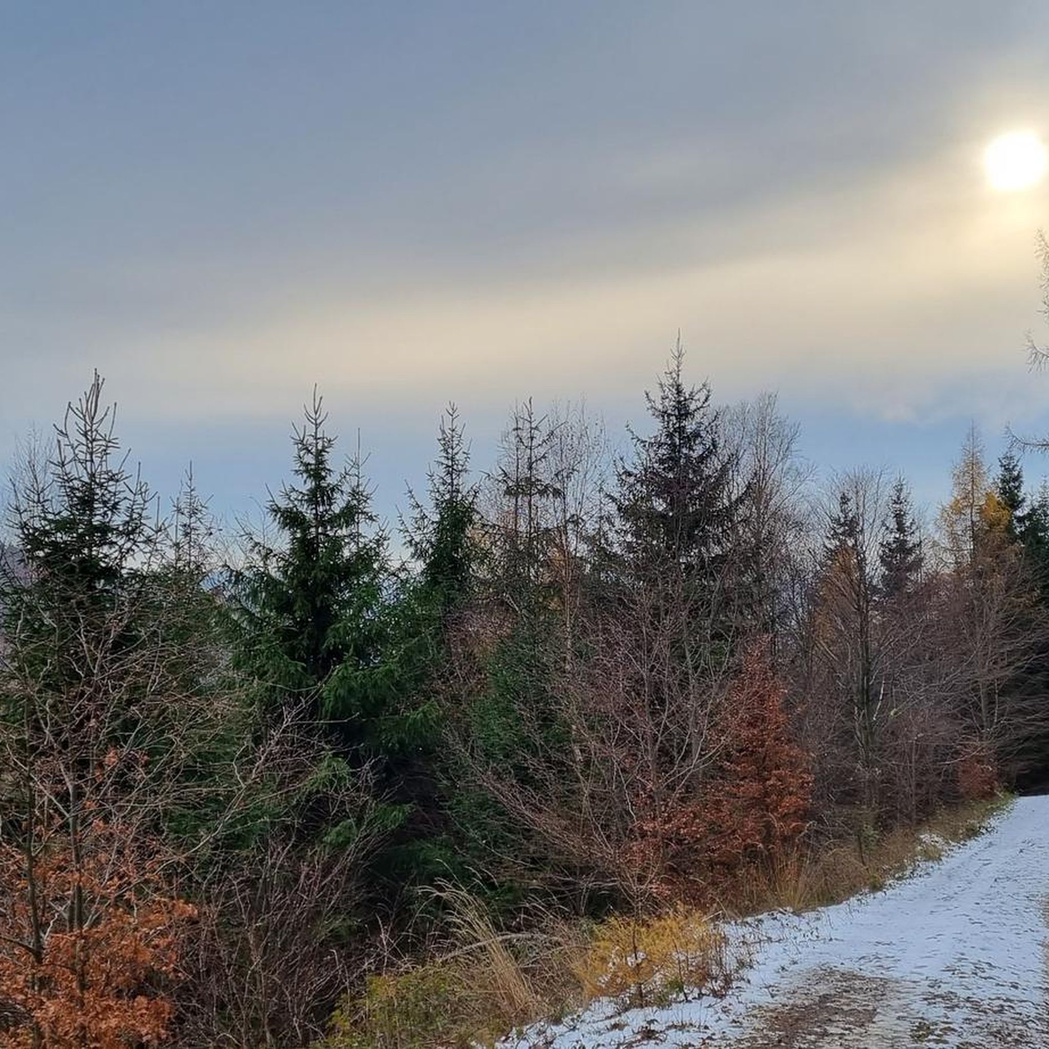
While some trails may be accessible, winter mountain biking in Unterschönau can be challenging due to snow and ice, especially at higher elevations along the Rennsteig. It's advisable to check local weather and trail conditions before heading out, and consider fat biking or alternative winter sports if conditions are severe.
Most popular attractions around Unterschönau

Get inspired with the komoot mobile app


Explore more
Browse the best MTB trails in other regions.
