The best mountain hikes around Unterschönau
5
hikers
5
hikes
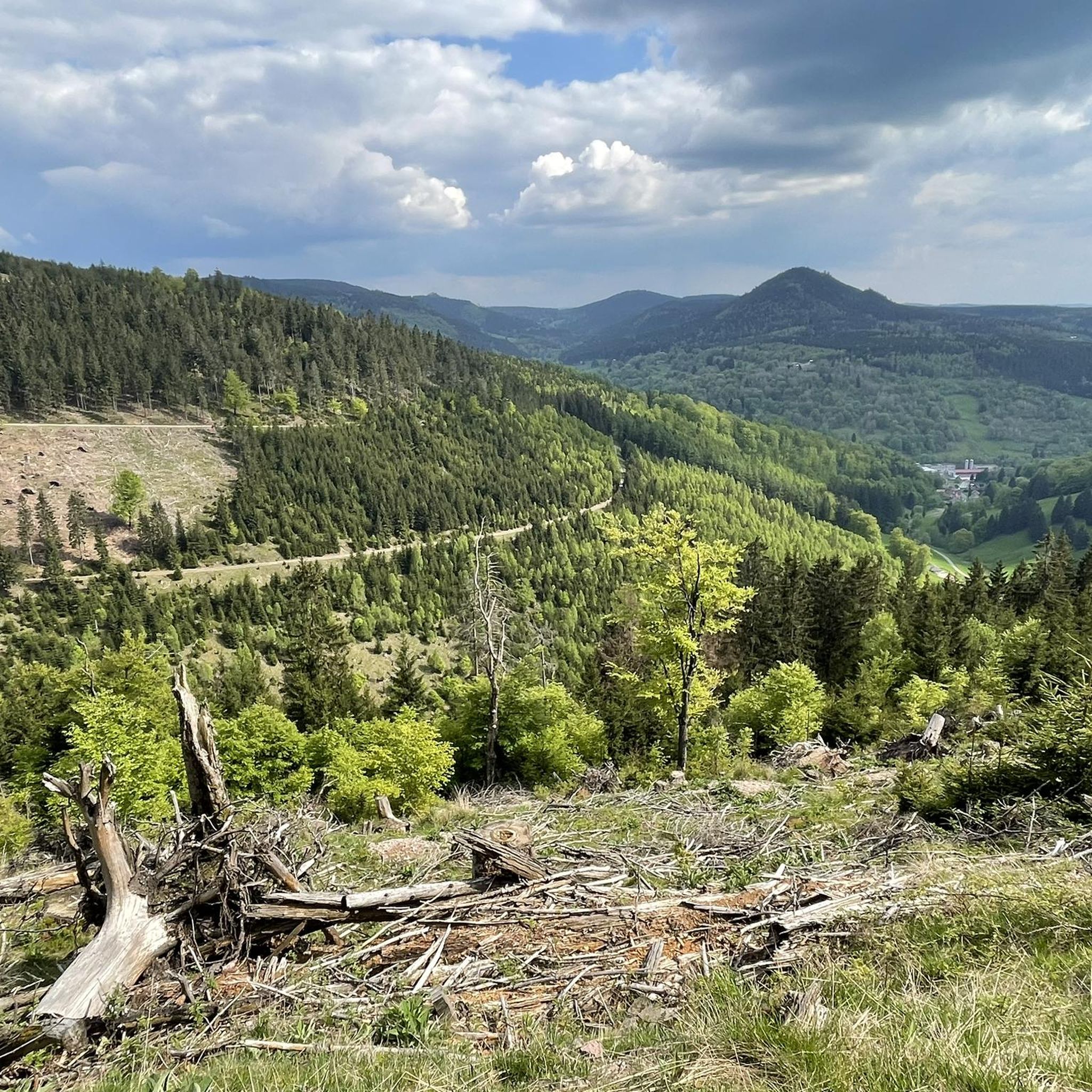
Mountaineering routes Unterschönau traverse the forested hills and valleys of the Thuringian Forest region. This area is characterized by its extensive woodlands, gentle ascents, and scenic viewpoints. The terrain offers a mix of well-maintained paths and more rugged trails, suitable for various skill levels.
Best mountaineering routes around Unterschönau
- The most popular mountaineering route is Shelter "Stein 16" – Violet fountain loop from Oberhof, a 4.7 miles (7.6 km) trail that takes 2 hours 6 minutes to complete. This…
Last updated: October 7, 2026
4
hikers
7.53km
02:05
130m
130m
Moderate mountaineering route. Good fitness required. Easily-accessible paths. Suitable for all skill levels.
Hard mountaineering route. Good fitness required. Sure-footedness, sturdy shoes and alpine experience required.

15.6km
04:26
360m
360m
Moderate mountaineering route. Good fitness required. Easily-accessible paths. Suitable for all skill levels.
1
hikers
6.89km
01:53
100m
100m
Easy mountaineering route. Great for any fitness level. Easily-accessible paths. Suitable for all skill levels.
Easy mountaineering route. Great for any fitness level. Easily-accessible paths. Suitable for all skill levels.
Our route recommendations are based on thousands of hikes, rides, and runs completed by other people on komoot.
Start today with a free account
Your next adventure awaits.
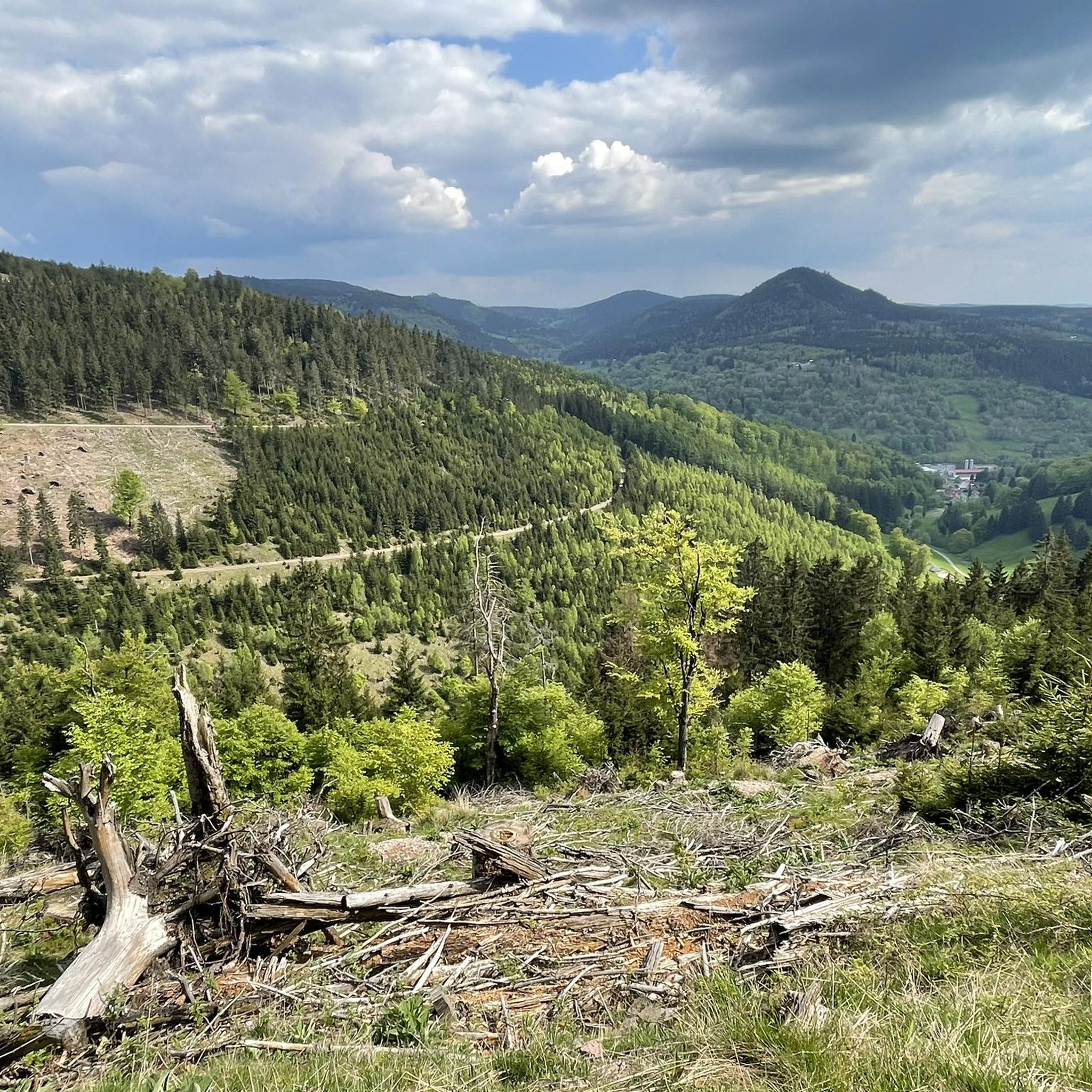
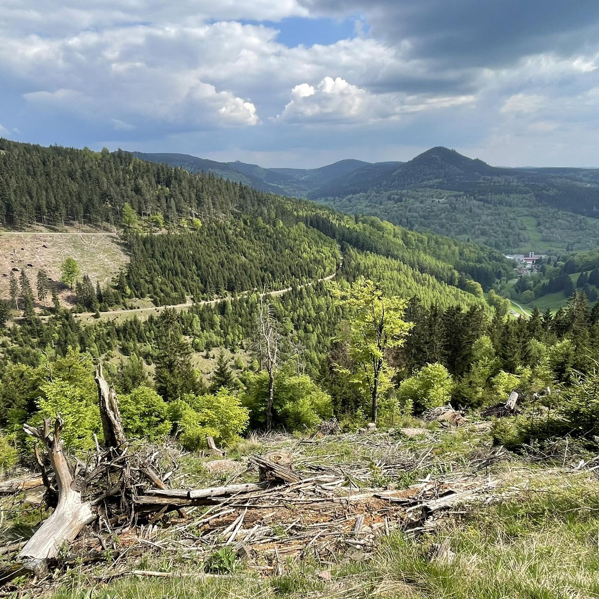

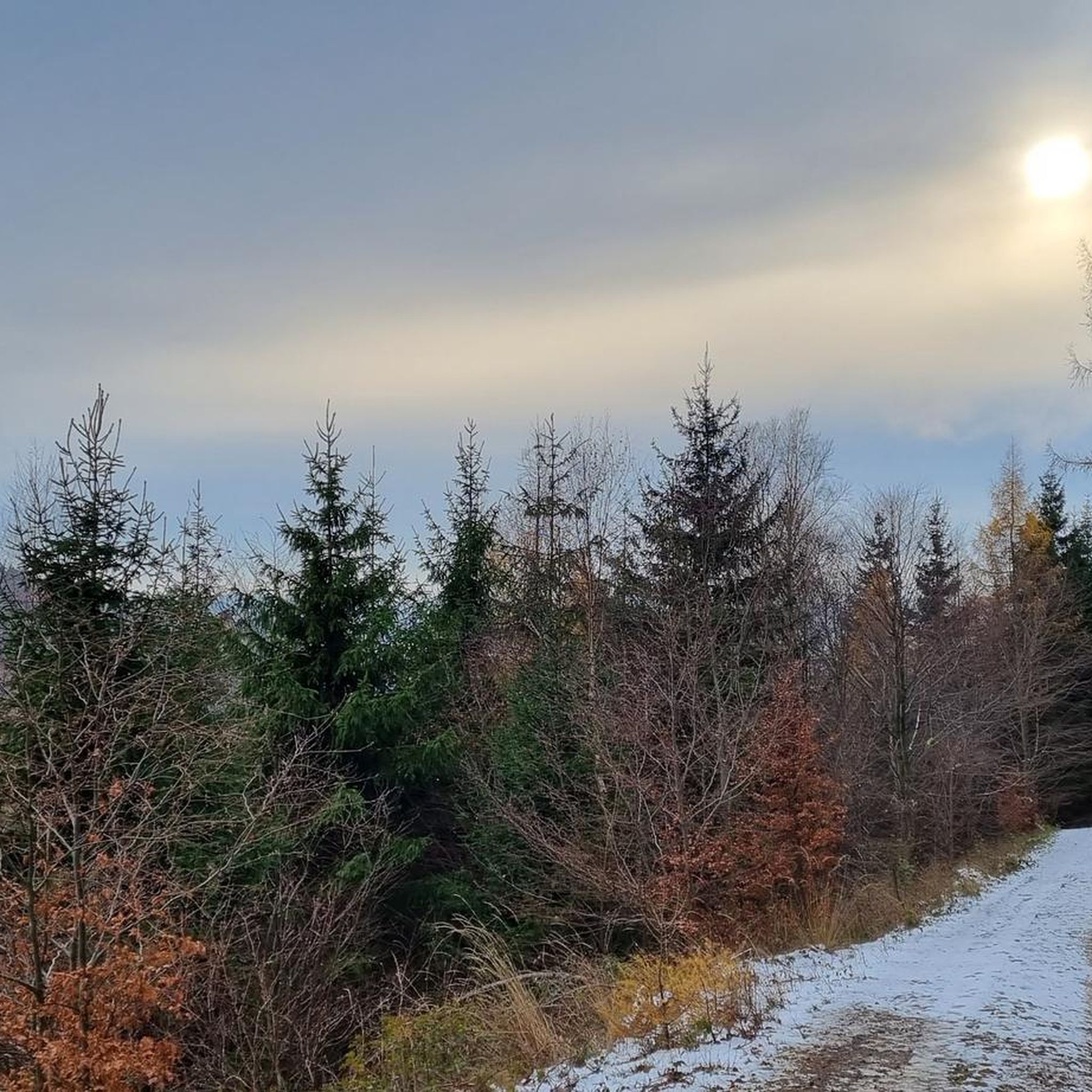
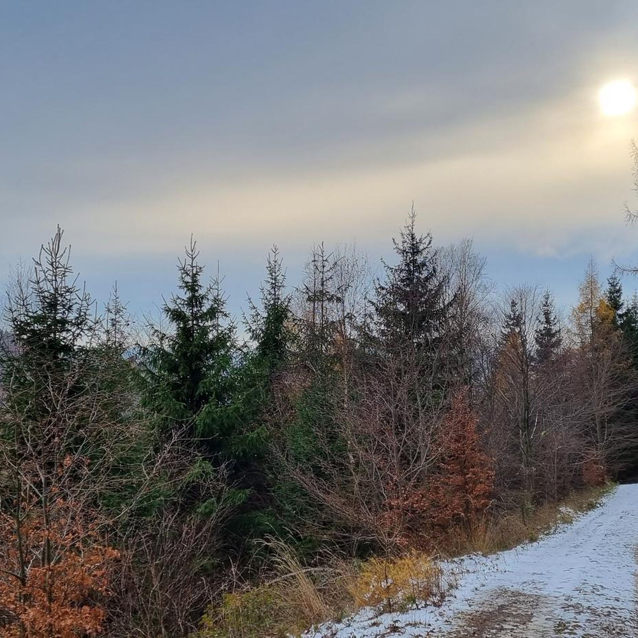
Tips from the Community

Freely accessible!
0
0

It's a great place for hiking.
0
0


Wooden shelter with seating directly on the Rennsteig, as well as a stamping point.
6
0
Former Imperial Post Office with beautiful half-timbered architecture, built in 1889/90, today a pharmacy and residential building.
9
1

A very beautiful facility
12
0
Very nice water features👍
16
0

Winter sports resort in the Thuringian Forest. Offers great conditions for mountain biking (trail, XC and park), gravel biking, hiking and cross-country skiing. There are also a few climbing rocks in the vicinity.
1
0
Frequently Asked Questions
What kind of mountaineering routes can I expect around Unterschönau?
Mountaineering routes around Unterschönau primarily traverse the forested hills and valleys of the Thuringian Forest region. You'll find a mix of well-maintained paths and more rugged trails, characterized by extensive woodlands, gentle ascents, and scenic viewpoints. The area offers options for various skill levels, from easy loops to more challenging ascents.
Are there routes suitable for beginners or those looking for an easy mountaineering experience?
Yes, Unterschönau offers several easy mountaineering routes. For a relaxed experience, consider the Oberhof – Oberhof Winter Sports Center loop from Oberhof, which covers about 6.7 km with gentle elevation changes.
Are there any challenging mountaineering routes for experienced hikers?
Absolutely. For those seeking a more demanding adventure, the Kaltenbrunner Stein Viewpoint – Burnt Rock loop from Zella-Mehlis is a difficult 12.7 km path featuring challenging ascents and panoramic views from the Kaltenbrunner Stein Viewpoint.
What are some notable natural features or landmarks I can see on these routes?
The routes around Unterschönau offer opportunities to discover various natural landmarks. You might encounter the Burnt Rock, a significant natural monument, or the Falkenstein Rock Formation in the Thuringian Forest. Many trails also lead past tranquil forest features and viewpoints.
Are there any circular mountaineering routes available?
Yes, many of the mountaineering routes in the Unterschönau area are circular. For example, the popular Shelter "Stein 16" – Violet fountain loop from Oberhof is a moderate 7.6 km circular trail, and the Wedelbachteich – Apfelstädt Spring loop from Tambach-Dietharz offers a longer 15.6 km loop through dense forest.
What do other mountaineers say about the routes in Unterschönau?
The mountaineering routes around Unterschönau are highly regarded by the komoot community, with an average score of 5.0 stars. Reviewers often praise the extensive forest trails, gentle hills, and scenic viewpoints that define the area's varied terrain.
Are there any viewpoints along the mountaineering trails?
Yes, several routes feature scenic viewpoints. The Kaltenbrunner Stein Viewpoint – Burnt Rock loop offers panoramic vistas from Kaltenbrunner Stein. Another route, the Hohe Möst Viewpoint – Hohes Moos Viewpoint loop from Schützenbergmoor, specifically highlights two distinct viewpoints for stunning scenery.
Can I find mountain huts or shelters along the routes?
Yes, the area around Unterschönau has several huts and shelters that can provide a resting spot. You might come across the Shelter "Stein 16", the Thuringian Hut, or the Veilchenbrunnen Mountain Hut. Some routes also pass by the Rappenberg Hut.
What is the best time of year for mountaineering in Unterschönau?
The Thuringian Forest region, where Unterschönau is located, is generally pleasant for mountaineering from spring through autumn. The extensive woodlands offer shade in summer, and the gentle ascents are enjoyable during the milder seasons. Always check local weather conditions before heading out.
Is Unterschönau part of a larger protected area or national park?
While the provided guide data focuses on the Thuringian Forest, Unterschönau is also known as a district of Schönau am Königssee in Bavaria, which is situated within the Berchtesgaden National Park. This national park is Germany's only alpine national park, offering a vast network of trails and dedicated to preserving its natural environment. The region is characterized by dramatic mountain landscapes and crystal-clear lakes like Königssee.
How many mountaineering routes are available in the Unterschönau area?
There are over 5 distinct mountaineering routes detailed for the Unterschönau area, catering to various skill levels from easy to difficult.
Most popular attractions around Unterschönau

Get inspired with the komoot mobile app


Explore more
Browse the best Mountain Hikes & Routes in other regions.
