The best road cycling routes around Moconesi
4.1
(475)
6,836
riders
67
rides
Road cycling routes around Moconesi navigate a landscape characterized by its hilly terrain, with numerous passes and valleys. The region offers a mix of challenging ascents and descents, often providing views of the Ligurian coastline. Road cyclists can expect varied gradients and winding roads through rural and forested areas. This area is well-suited for those seeking routes with significant elevation changes.
Best road cycling routes around Moconesi
- The most popular road cycling route is Passo Pozzi del Lupo (722 m)…
Last updated: October 4, 2026
4.0
(3)
10
riders
27.3km
01:41
720m
730m
Moderate road ride. Good fitness required. Mostly well-paved surfaces and easy to ride.
4.3
(4)
178
riders
115km
06:11
2,210m
2,210m
Hard road ride. Very good fitness required. Mostly well-paved surfaces and easy to ride.

4.6
(5)
94
riders
42.7km
02:23
910m
910m
Hard road ride. Very good fitness required. Mostly well-paved surfaces and easy to ride.
56
riders
36.9km
01:34
270m
270m
Easy road ride. Great for any fitness level. Mostly well-paved surfaces and easy to ride.
19
riders
Hard road ride. Very good fitness required. Mostly well-paved surfaces and easy to ride.
Get access to more routes and recommendations from other explorers.
Already have an account?
Our route recommendations are based on thousands of hikes, rides, and runs completed by other people on komoot.
Start today with a free account
Your next adventure awaits.
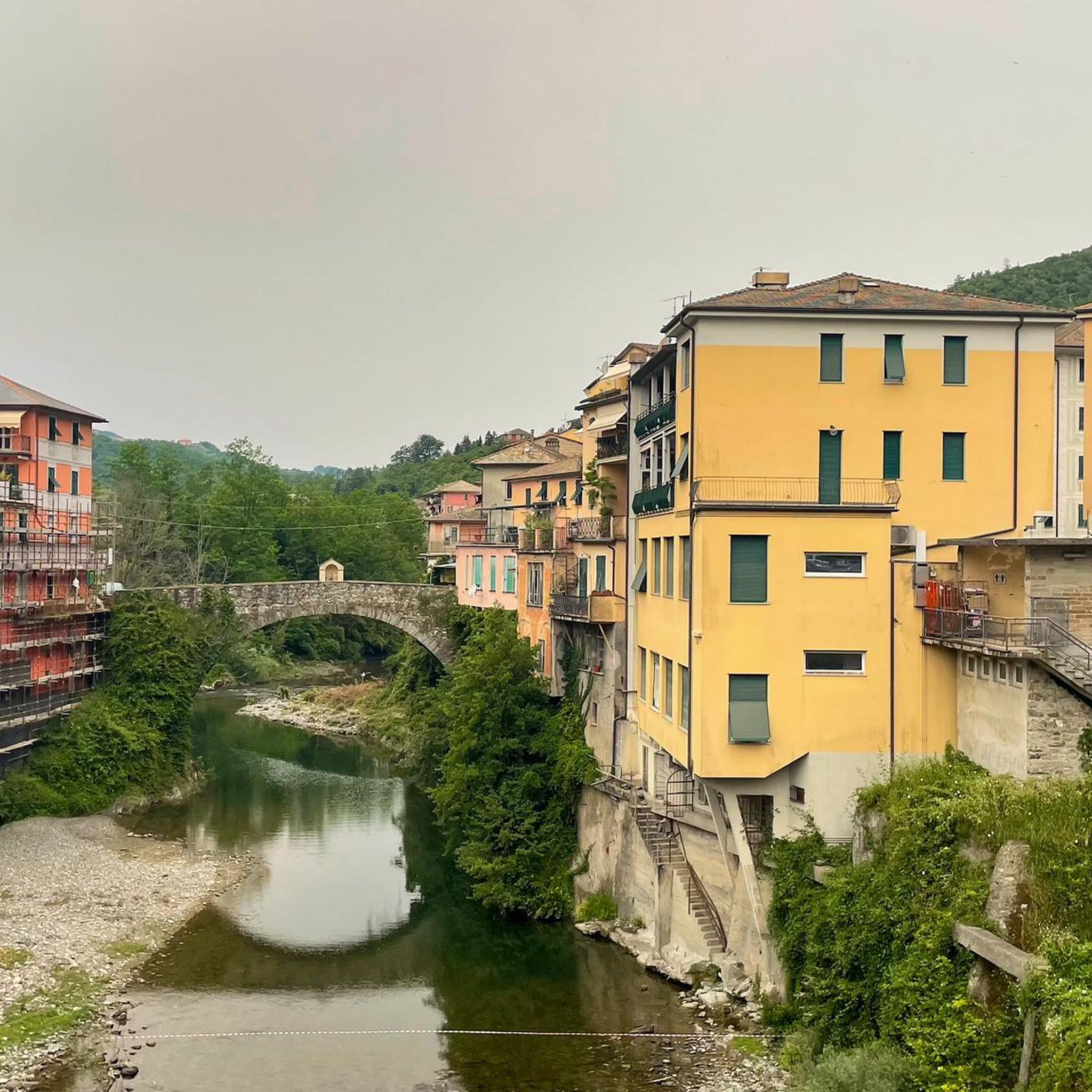
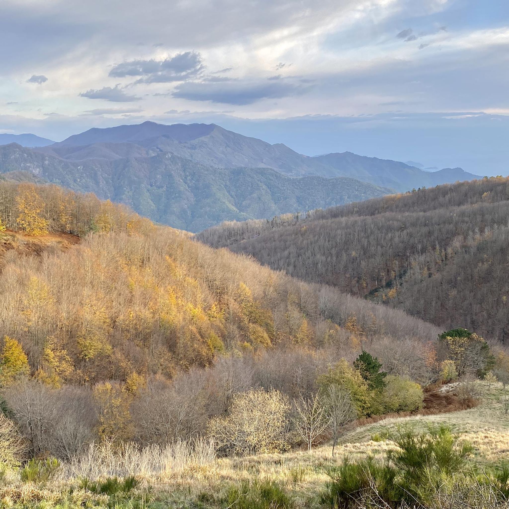
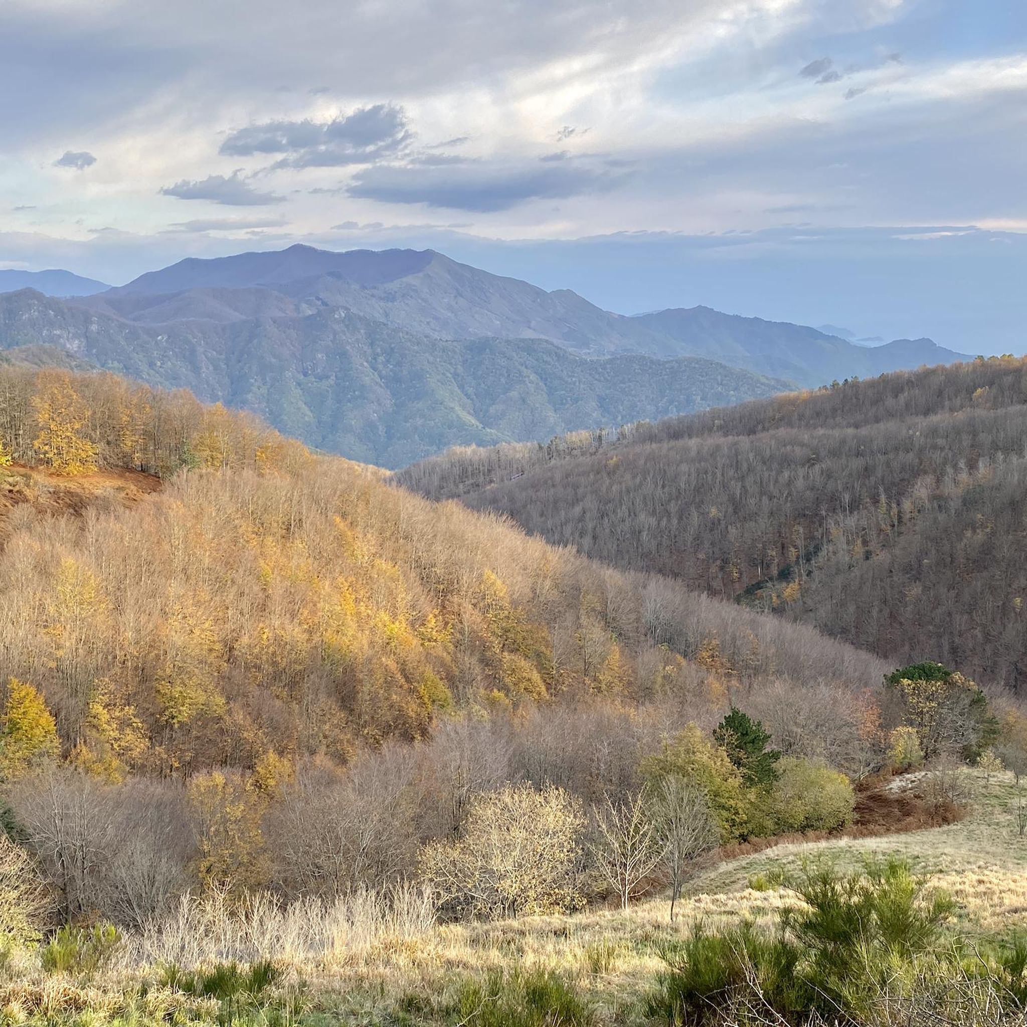
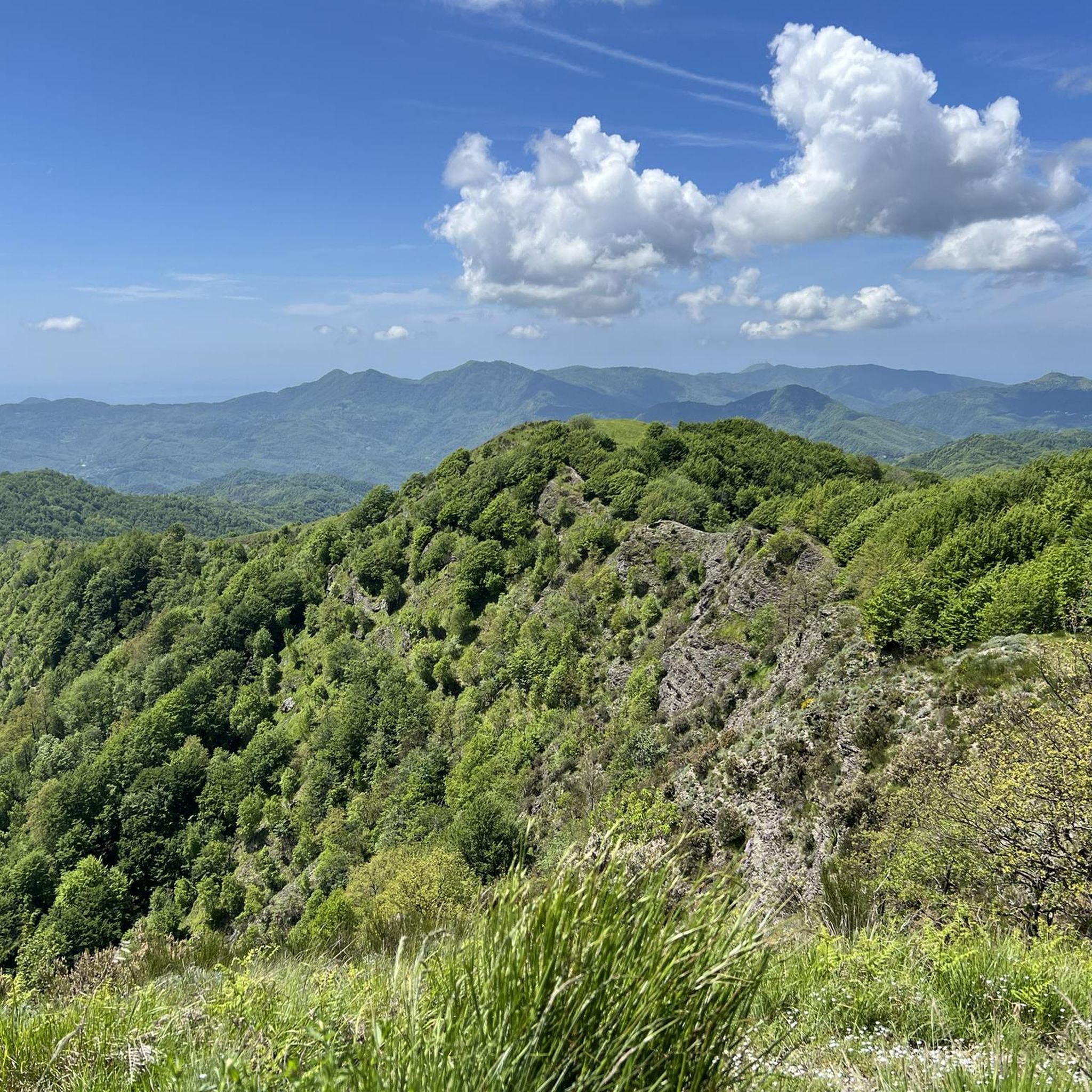
Tips from the Community

beautiful, quiet pass with picnic area
0
0

This is a very nice spot for taking photos.
17
0


Situated at 956 meters between the Vara and Aveto Valleys, the Bocco Pass is one of the historic passes of the Ligurian Apennines, used since ancient times as a connection between the Tyrrhenian coast and the Po Valley hinterland. Already in Roman times, it was part of a secondary transit network, but it was especially in the Middle Ages and modern times that the pass assumed a central role in local traffic: a route for merchants, shepherds, and pilgrims, it connected Chiavari and the Riviera with Varese Ligure and the Emilian plains. Traces of the ancient paving are still visible today in the surrounding woods. During the Second World War, the area served as a refuge for partisan groups, thanks to its secluded location and dense forest cover. Today, the pass is a destination for cyclists and hikers, immersed in an unspoiled mountain landscape of beech and fir forests and highland meadows, at the gateway to the Aveto Regional Natural Park.
0
0

beautiful place, the lake is surrounded by nature, the dam can be crossed, there are many paths nearby and with very little traffic.
0
0


The climb is long but not demanding .... the descent is fantastic. Always with due prudence remembering poor Weylandt, the long snake that descends to Borgonovo, if you are lucky enough not to encounter too many cars and motorcycles, with its curves, counter-curves and hairpin bends is exhilarating...🤩
0
0
Frequently Asked Questions
How many road cycling routes are available in Moconesi?
There are over 60 road cycling routes around Moconesi, offering a diverse range of experiences for road cyclists of all levels.
What kind of terrain can I expect on road cycling routes in Moconesi?
Moconesi's road cycling routes are characterized by hilly terrain with numerous passes and valleys. You can expect a mix of challenging ascents and descents, winding roads through rural and forested areas, and often stunning views of the Ligurian coastline.
Are there easy road cycling routes suitable for beginners or families in Moconesi?
Yes, Moconesi offers several easy road cycling routes. For instance, the Colle Caprile, Leivi loop from Acqua di Sotto is an easy 24.6 km route with moderate elevation gain, making it a good option for those seeking a less strenuous ride.
Where can I find challenging road cycling routes in Moconesi?
For experienced road cyclists seeking a challenge, Moconesi has many difficult routes. The Passo Pozzi del Lupo (722 m) – Passo di Romaggi (722 m) loop from Acqua di Sotto is a demanding 46.5 km trail featuring two significant mountain passes and substantial elevation changes.
What are the typical lengths and durations of road cycling routes in Moconesi?
Route lengths vary significantly. For example, the Colle Caprile, Leivi loop from Acqua di Sotto is about 24.6 km and takes around 1 hour, while the View of Lavagna – View of Sestri Levante loop from Tribogna is a moderate 74.5 km path, typically completed in about 3 hours and 10 minutes.
What is the best time of year for road biking in Moconesi?
The spring and autumn months generally offer the most pleasant conditions for road cycling in Moconesi, with milder temperatures and less intense heat than summer. These seasons also often provide clear skies for enjoying the scenic coastal and mountain views.
Are there road cycling routes that offer scenic viewpoints or coastal vistas?
Absolutely. Many routes in Moconesi provide breathtaking views. The View of Lavagna – View of Sestri Levante loop from Tribogna is particularly known for its expansive views of the Ligurian coastlines. You can also find stunning panoramas from highlights like Monte Santa Croce.
What do other road cyclists say about the routes in Moconesi?
The road cycling routes in Moconesi are highly rated by the komoot community, with an average score of 4.2 stars from over 400 reviews. More than 6,900 road cyclists have explored the area, often praising the challenging climbs, scenic passes, and diverse terrain.
Are there any interesting landmarks or attractions near the road cycling routes?
Yes, the region offers several points of interest. You might encounter mountain huts like Margherita Mountain Hut – Mount Pegge or Ventarola Refuge. For panoramic views, consider highlights such as Summit of Monte Caucaso or Monte Manico del Lume Summit.
Are most road cycling routes in Moconesi loop trails or point-to-point?
Most of the road cycling routes around Moconesi are designed as loop trails, allowing you to start and finish at the same location. This makes planning your ride and return journey more convenient.
What should I wear for road biking in Moconesi during spring?
In spring, temperatures can vary. It's advisable to wear layers that can be easily adjusted. A good base layer, a cycling jersey, arm warmers, and a lightweight windproof or waterproof jacket are recommended, especially for descents or if the weather changes.
Are there road cycling routes in Moconesi that avoid heavy traffic?
Many routes in Moconesi traverse rural and forested areas, often utilizing quieter secondary roads. While complete avoidance of traffic is difficult, routes through less populated valleys and passes tend to offer a more tranquil cycling experience away from major thoroughfares.
Most popular attractions around Moconesi

Get inspired with the komoot mobile app


Explore more
Browse the best Road cycling routes in other regions.
