The best MTB trails in Unterklettgau
4.7
(71)
349
riders
38
rides
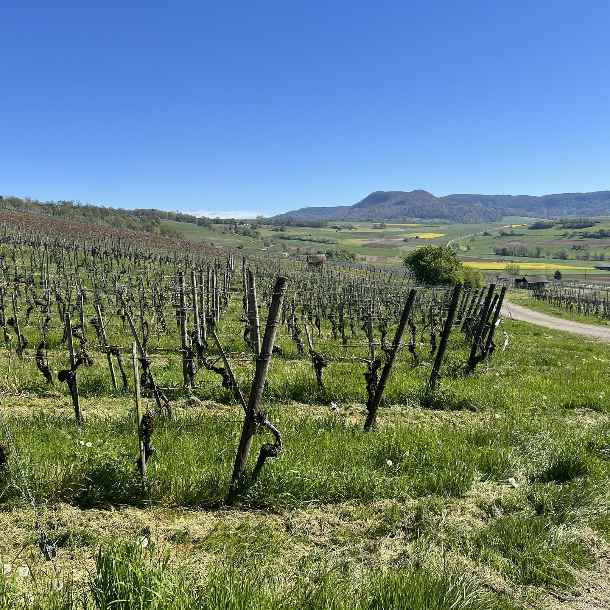
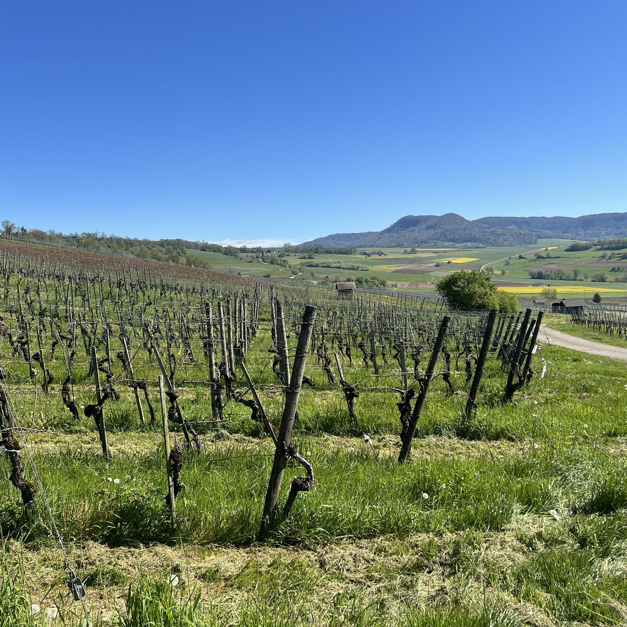
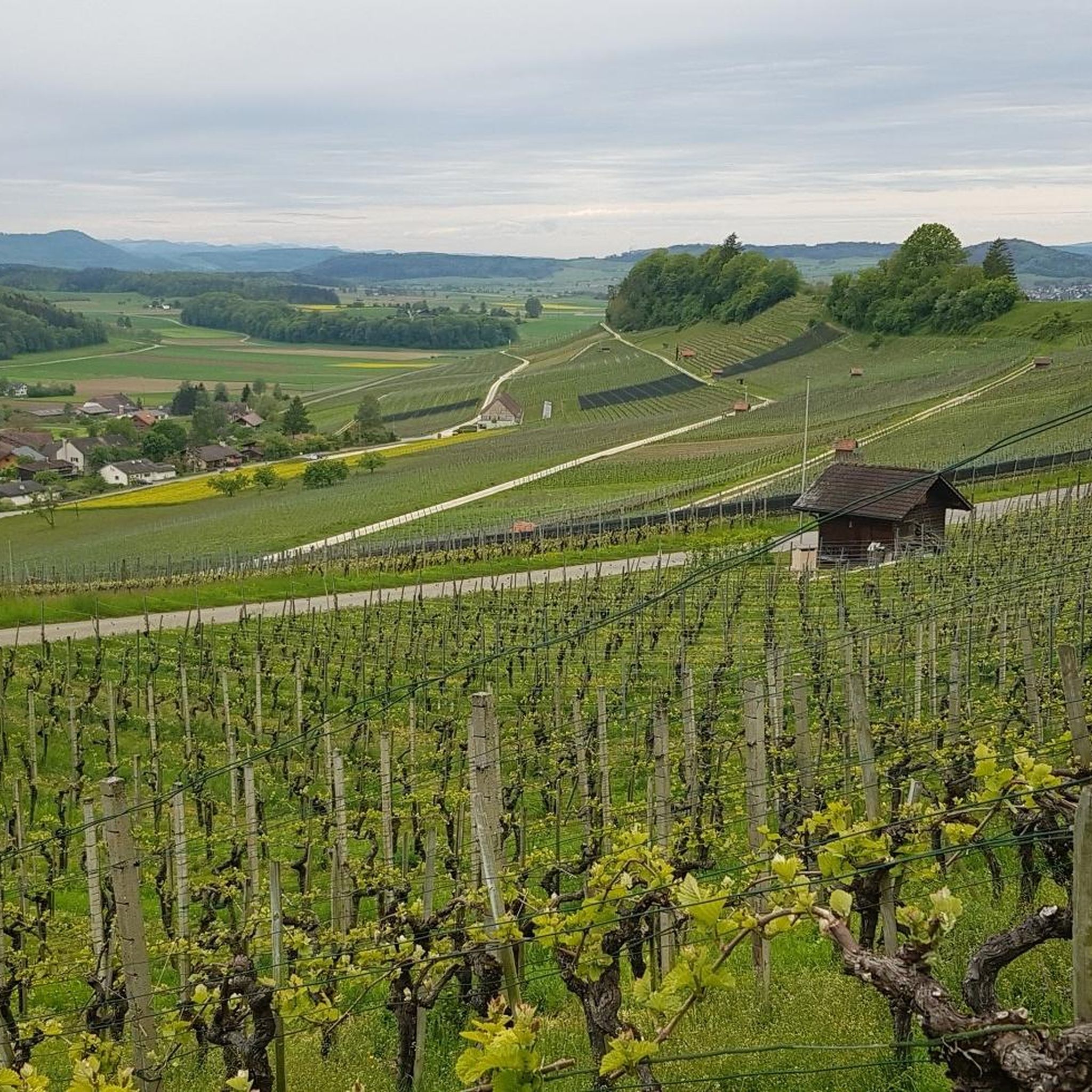
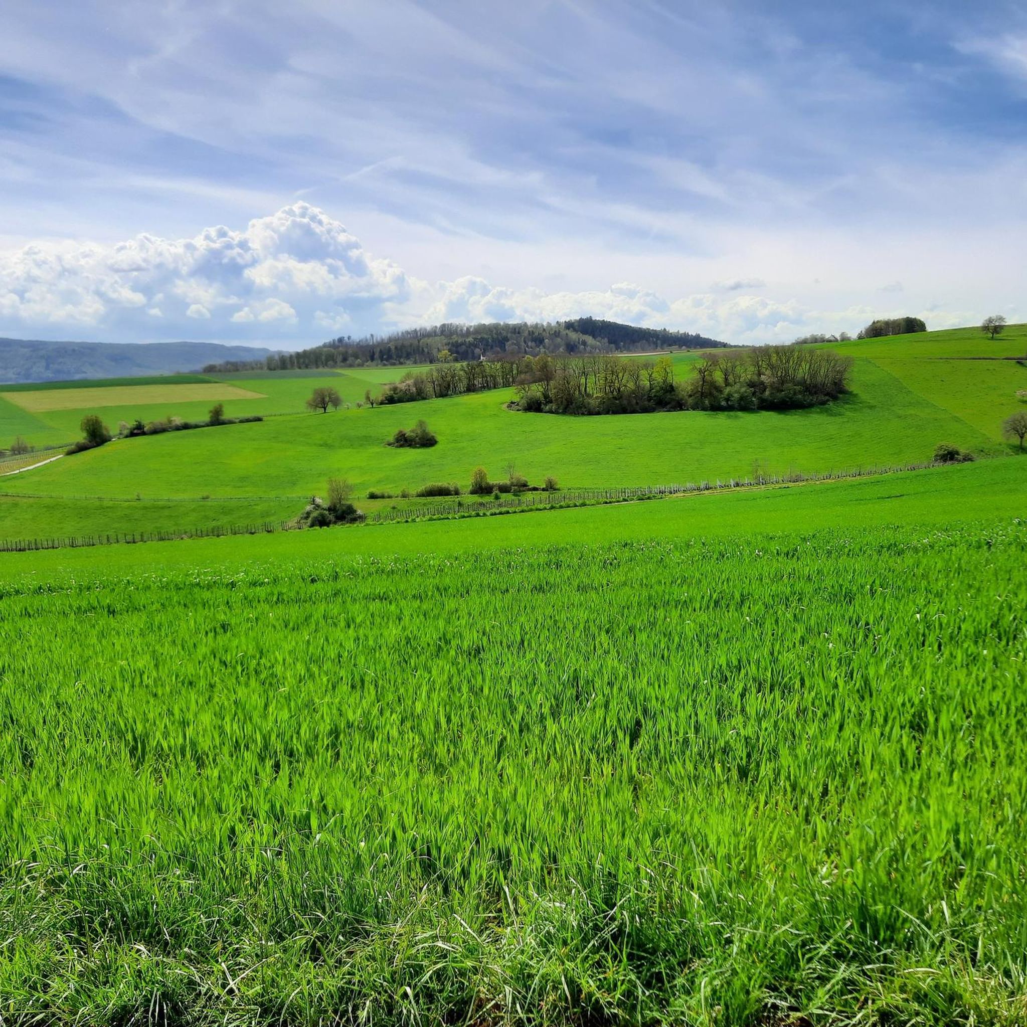
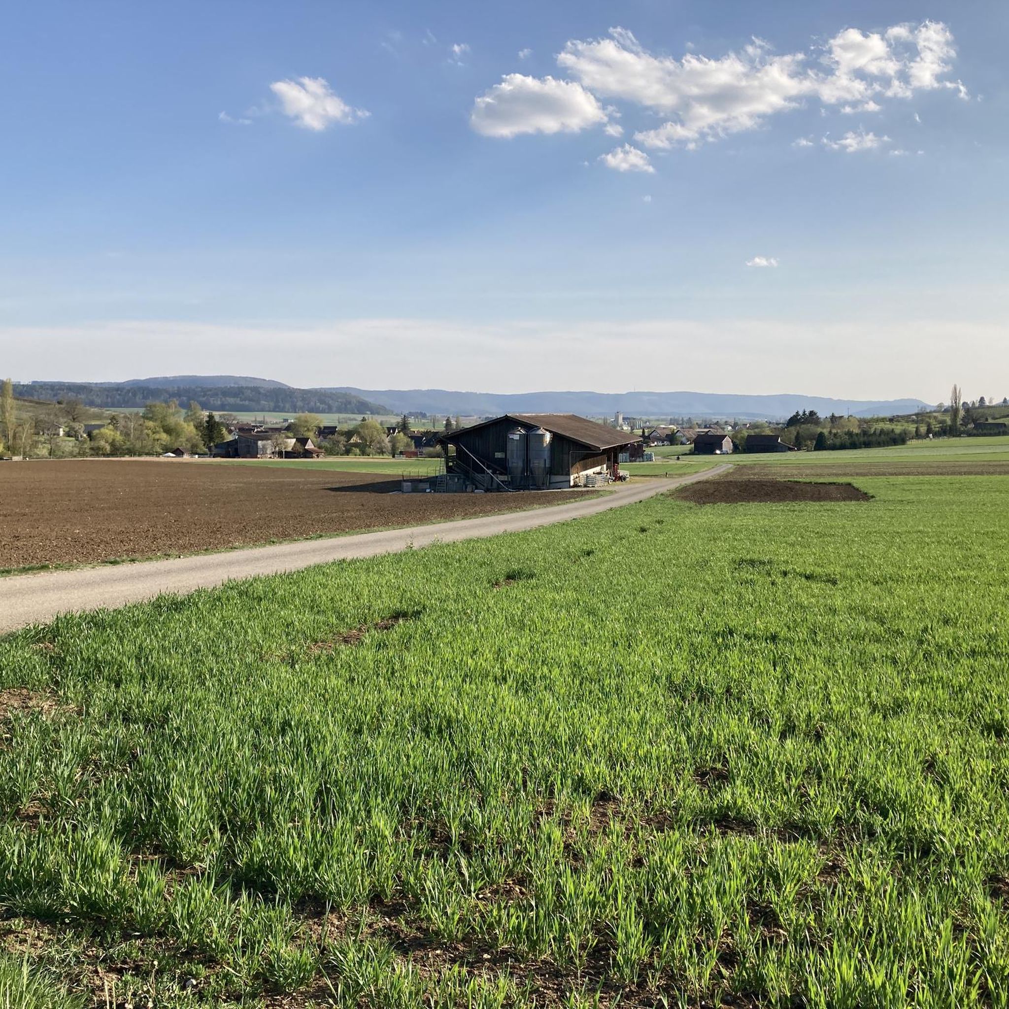
Mountain biking in Unterklettgau offers diverse terrain across the canton of Schaffhausen, Switzerland. The region features the expansive Klettgau Plain, known for its agricultural landscapes interspersed with meadows and fruit tree strips. Riders can also explore rolling vineyards and the forested Randen Hills, which provide varied elevation and natural singletrack. This mix of open plains, vine-covered slopes, and wooded areas creates a dynamic environment for mountain bikers.
Best mountain bike trails in Unterklettgau
- The most popular mountain bike trail is…
Last updated: October 2, 2026
5.0
(2)
24
riders
58.9km
05:05
1,300m
1,290m
Hard mountain bike ride. Very good fitness required. Advanced riding skills necessary.
4.9
(7)
50
riders
46.9km
04:49
1,190m
1,190m
Hard mountain bike ride. Very good fitness required. Advanced riding skills necessary.

4.9
(7)
18
riders
25.0km
01:28
140m
140m
Easy mountain bike ride. Great for any fitness level. Suitable for all skill levels.
4.0
(3)
13
riders
29.1km
02:11
420m
420m
Moderate mountain bike ride. Good fitness required. Suitable for all skill levels.
4.9
(8)
18
riders
28.0km
02:29
490m
490m
Moderate mountain bike ride. Good fitness required. Suitable for all skill levels.
5.0
(3)
16
riders
25.1km
02:00
420m
420m
Moderate mountain bike ride. Good fitness required. Suitable for all skill levels.
4.5
(2)
18
riders
22.9km
02:07
510m
510m
Moderate mountain bike ride. Good fitness required. Advanced riding skills necessary.
5.0
(1)
11
riders
25.1km
02:01
320m
320m
Moderate mountain bike ride. Good fitness required. Advanced riding skills necessary.
4.5
(13)
10
riders
Hard mountain bike ride. Very good fitness required. Advanced riding skills necessary.
5.0
(13)
7
riders
26.2km
01:50
320m
320m
Moderate mountain bike ride. Good fitness required. Suitable for all skill levels.
Get access to more routes and recommendations from other explorers.
Already have an account?
Our route recommendations are based on thousands of hikes, rides, and runs completed by other people on komoot.
Start today with a free account
Your next adventure awaits.
Popular around Unterklettgau
MTB Trails around Oberhallau
MTB Trails around Hallau
MTB Trails around Wilchingen
MTB Trails around Trasadingen

Lake and Alps Adventure – explore 100 dreamy places in our cycling region!
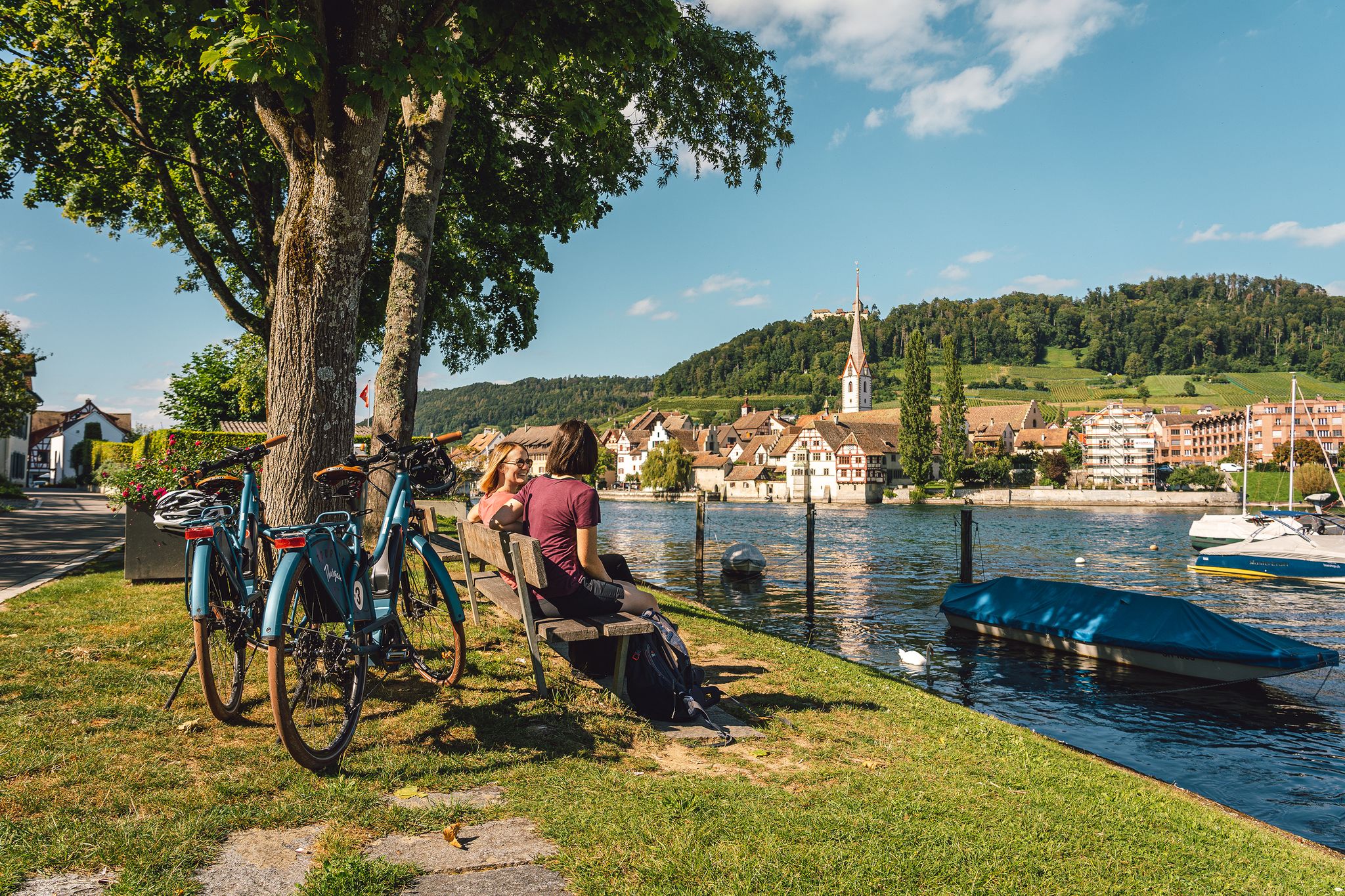
Rhine, vines, Randen – the top 5 cycle routes in Schaffhauserland
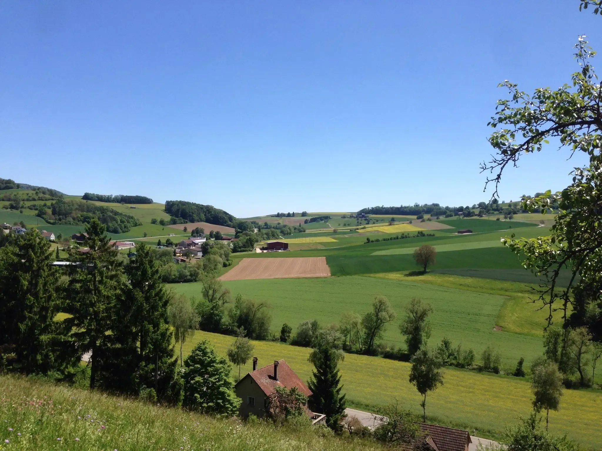
Klettgau-Rhein-Weg – hiking at the feet of the Alps
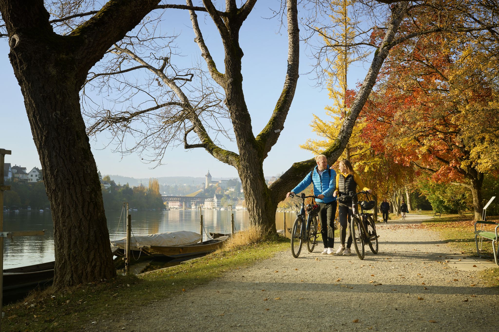
Rhine, Vines and Randen – autumn cycling routes in Schaffhauserland
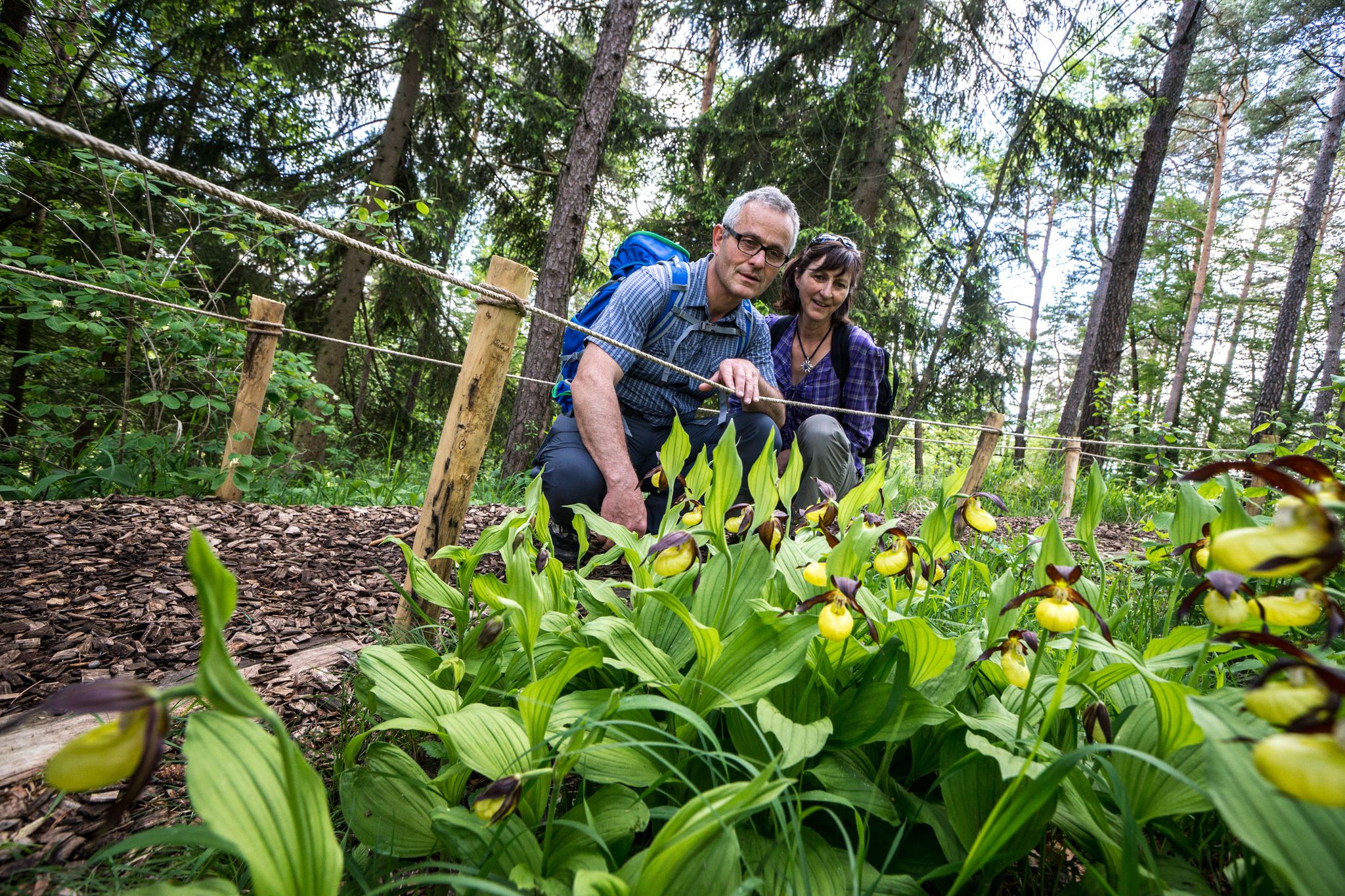
Wandern zwischen Rhein und Reben – Frühling im Schaffhauserland
Hiking in Unterklettgau
Other adventures in Unterklettgau


Tips from the Community


Beautiful & proud church
0
0

Pretty here, very pretty Pretty here, very pretty
3
0

Schleitheim's town center captivates with its rural charm and well-maintained historic buildings. Along the main street, you'll find small shops, bakeries, and inns. The village is nestled in the Klettgau and serves as an important starting point for hikes on the Randen and through the charming border region.
5
0

Somewhat hidden in the "Flüe" (a local name for a rock formation), you'll find the Nagelfluh cave, also known as "Winterlislöchli". The area, with benches and a barbecue, offers a fantastic view of the German Klettgau region. According to local legend, a peddler woman named Winterlise once lived here for a time.
0
0
The beer garden at the Beringer Randenhaus is idyllically situated in the forest, right next to the Randen Tower. Nestled among tall trees, you'll find a shady, peaceful spot for a relaxing break during or after your hike.
1
0
Frequently Asked Questions
What kind of terrain and difficulty levels can I expect on mountain bike trails in Unterklettgau?
Unterklettgau offers a diverse mix of terrain. You'll find expansive agricultural landscapes on the Klettgau Plain, rolling vineyards, and forested sections within the Randen Hills. The trails range from easy, flowy paths with occasional roots to more challenging singletracks with steeper sections and tight switchbacks. Overall, there are 38 mountain bike tours available, with 6 easy, 25 moderate, and 7 difficult options.
Are there mountain bike trails suitable for beginners in Unterklettgau?
Yes, Unterklettgau has several trails suitable for beginners. For an easier ride, consider the Schmerlat Airfield – Neunkirch Clock Tower loop from Trasadingen, which is 15.8 miles (25.5 km) long and leads through the Klettgau plain. There are 6 easy routes in total, offering gentle gradients and less technical sections.
What are some challenging mountain bike trails in Unterklettgau?
For experienced riders seeking a challenge, Unterklettgau offers several difficult routes. The Hallau to Thayngen – Schaffhauserland route is a demanding 36.6 miles (58.9 km) trail traversing varied landscapes. Another difficult option is the Engewald Singletrack – Beringer Randenturm loop from Wilchingen-Hallau, which features technical singletrack sections and significant climbs. There are 7 difficult routes in the region.
Are there family-friendly mountain bike trails in Unterklettgau?
While specific 'family-friendly' designations aren't always explicit, the 6 easy mountain bike routes in Unterklettgau are generally suitable for families with some riding experience. These trails typically feature gentler gradients and less technical terrain, allowing for a more relaxed outing. The Klettgau Plain's open agricultural landscapes can offer pleasant, less demanding rides.
What natural features and landmarks can I see while mountain biking in Unterklettgau?
Unterklettgau is rich in natural beauty and historical landmarks. You can ride through picturesque vineyards, across the expansive Klettgau Plain with its diverse agricultural landscape, and into the forested Randen Hills. Notable attractions include the impressive Radegg Castle Ruins, which offers far-reaching views, and the scenic St. Moritz Hill Church in Hallau, providing beautiful vistas over the vineyards.
Are there any routes with particularly scenic viewpoints in Unterklettgau?
Yes, many routes in Unterklettgau offer scenic viewpoints, especially those traversing the Randen Hills or passing through the vineyard areas. The Hallauer Berg – Hallau Mountain Church loop from Wilchingen-Hallau takes you past the St. Moritz Hill Church, which is known for its beautiful views over the Klettgau region. Routes that climb towards the Randen Hills, such as the Langer Randen Summit (893 m) – Viewpoint Over the Randen loop from Hallau, also provide expansive panoramas.
How can I access the mountain bike trails in Unterklettgau by public transport or car?
Unterklettgau is accessible by both public transport and car. Many trailheads are located near villages like Hallau, Wilchingen-Hallau, and Trasadingen, which often have public transport connections. For those driving, parking is typically available in these towns, though it's always advisable to check local signage for specific parking regulations and availability near your chosen starting point.
When is the best time of year to go mountain biking in Unterklettgau?
The best time for mountain biking in Unterklettgau is generally from spring through autumn. During these seasons, the weather is most favorable, and the landscapes, including the vineyards and agricultural plains, are at their most vibrant. The region's recognition as 'Landscape of the Year 2023' highlights its beauty during these periods. While winter riding is possible, trail conditions can be challenging due to cold, wet, or snowy weather.
What do other mountain bikers enjoy the most about mountain biking in Unterklettgau?
The mountain bike trails in Unterklettgau are highly rated by the komoot community, with an average score of 4.9 stars from over 50 reviews. Riders often praise the region's diverse terrain, which includes open plains, rolling vineyards, and forested hills, offering a dynamic and varied experience. The balance between agriculture and nature conservation also contributes to the area's appeal.
Are there any circular mountain bike routes in Unterklettgau?
Yes, many mountain bike routes in Unterklettgau are designed as loops, allowing you to start and finish in the same location. Examples include the Schmerlat Airfield – Neunkirch Clock Tower loop from Trasadingen, the Hallauer Berg – Hallau Mountain Church loop from Wilchingen-Hallau, and the Engewald Singletrack – Beringer Randenturm loop from Wilchingen-Hallau. These circular routes make planning your ride more convenient.
Can I find places to rest or eat along the mountain bike trails in Unterklettgau?
Yes, you can find various spots to rest and refuel. The region has several huts and shelters, such as the Chläggi-Höckli and the Lueg is Land Vineyard Hut. Additionally, the Radegg Castle Ruins offers a picnic area with a fire pit, tables, and benches, making it a great stop. Villages along the routes also provide opportunities for cafes and other amenities.
Most popular routes in Unterklettgau
Most popular attractions in Unterklettgau

Get inspired with the komoot mobile app


Didn’t find what you were looking for?
Check out more MTB trails throughout Unterklettgau below and find the perfect route in your destination.
Explore more
Browse the best MTB trails in other regions.
