The best walks and hikes in Unterklettgau
4.5
(5585)
27,735
hikers
64
hikes
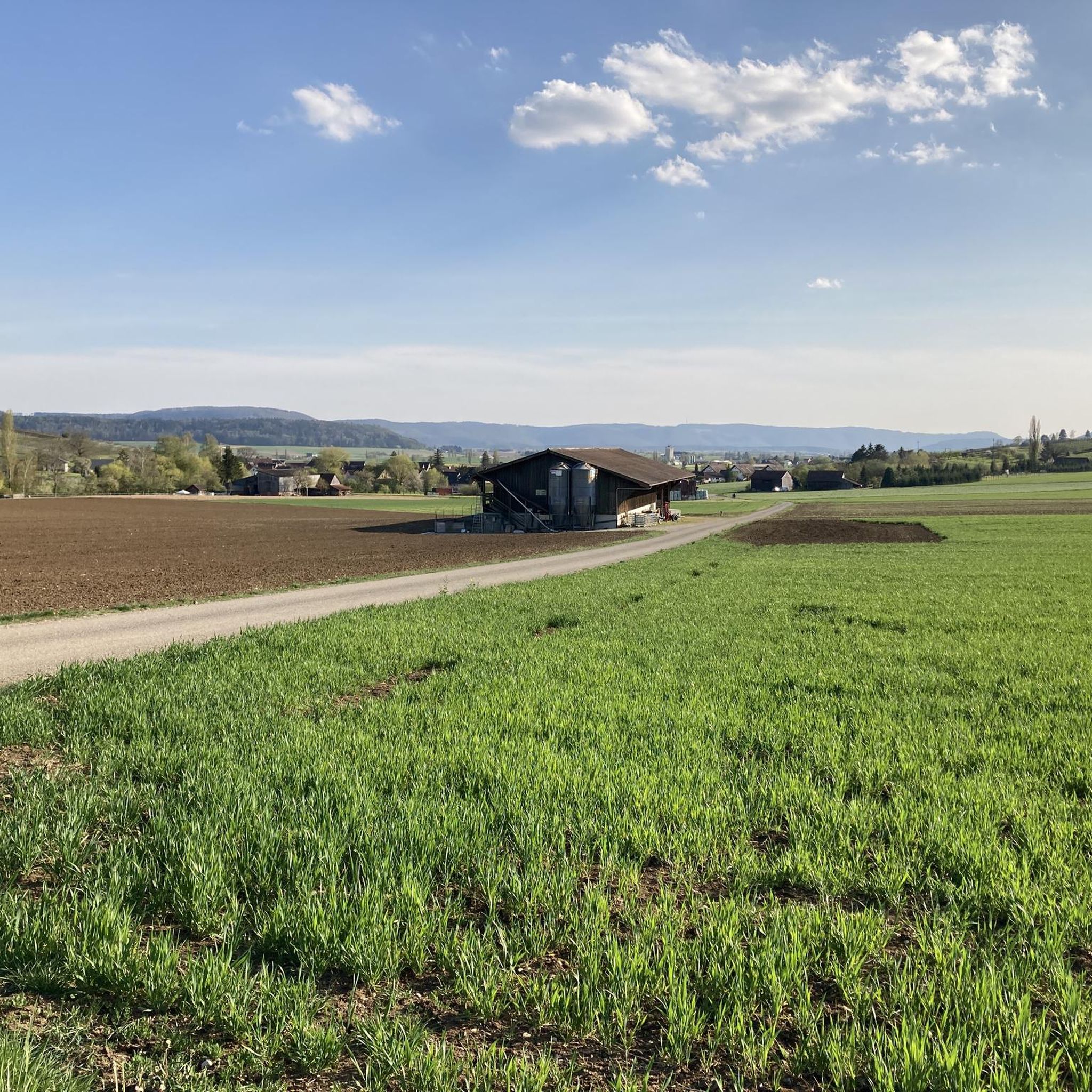
Hiking in Unterklettgau, a district within the Canton of Schaffhausen, Switzerland, features diverse landscapes characterized by extensive vineyards, fertile agricultural land, and forested areas. The region is bordered by the Randen Hills, offering elevated viewpoints and varied terrain. Hikers can explore paths winding through picturesque vineyards and discover natural features like gorges and the proximity to the High Rhine. Elevation within the district ranges from approximately 390 to 642 meters above sea level.
Best hiking trails in Unterklettgau
- The most…
Last updated: October 4, 2026
5.0
(1)
10
hikers
5.20km
01:24
60m
60m
Easy hike. Great for any fitness level. Easily-accessible paths. Suitable for all skill levels.
4.9
(14)
70
hikers
7.25km
02:12
230m
230m
Moderate hike. Good fitness required. Easily-accessible paths. Suitable for all skill levels.

4.3
(4)
25
hikers
Moderate hike. Good fitness required. Easily-accessible paths. Suitable for all skill levels.
4.5
(4)
27
hikers
4.78km
01:29
170m
170m
Easy hike. Great for any fitness level. Easily-accessible paths. Suitable for all skill levels.
4.0
(1)
12
hikers
6.95km
01:58
150m
150m
Easy hike. Great for any fitness level. Easily-accessible paths. Suitable for all skill levels.
4.5
(6)
28
hikers
6.63km
01:47
80m
80m
Easy hike. Great for any fitness level. Easily-accessible paths. Suitable for all skill levels.
4.8
(5)
33
hikers
14.7km
04:03
250m
250m
Moderate hike. Good fitness required. Easily-accessible paths. Suitable for all skill levels.
4.7
(3)
14
hikers
4.83km
01:23
110m
110m
Easy hike. Great for any fitness level. Easily-accessible paths. Suitable for all skill levels.
5.0
(3)
12
hikers
8.61km
02:21
130m
130m
Moderate hike. Good fitness required. Easily-accessible paths. Suitable for all skill levels.
4.0
(2)
7
hikers
5.11km
01:24
80m
80m
Easy hike. Great for any fitness level. Easily-accessible paths. Suitable for all skill levels.
Get access to more routes and recommendations from other explorers.
Already have an account?
Our route recommendations are based on thousands of hikes, rides, and runs completed by other people on komoot.
Start today with a free account
Your next adventure awaits.
Popular around Unterklettgau
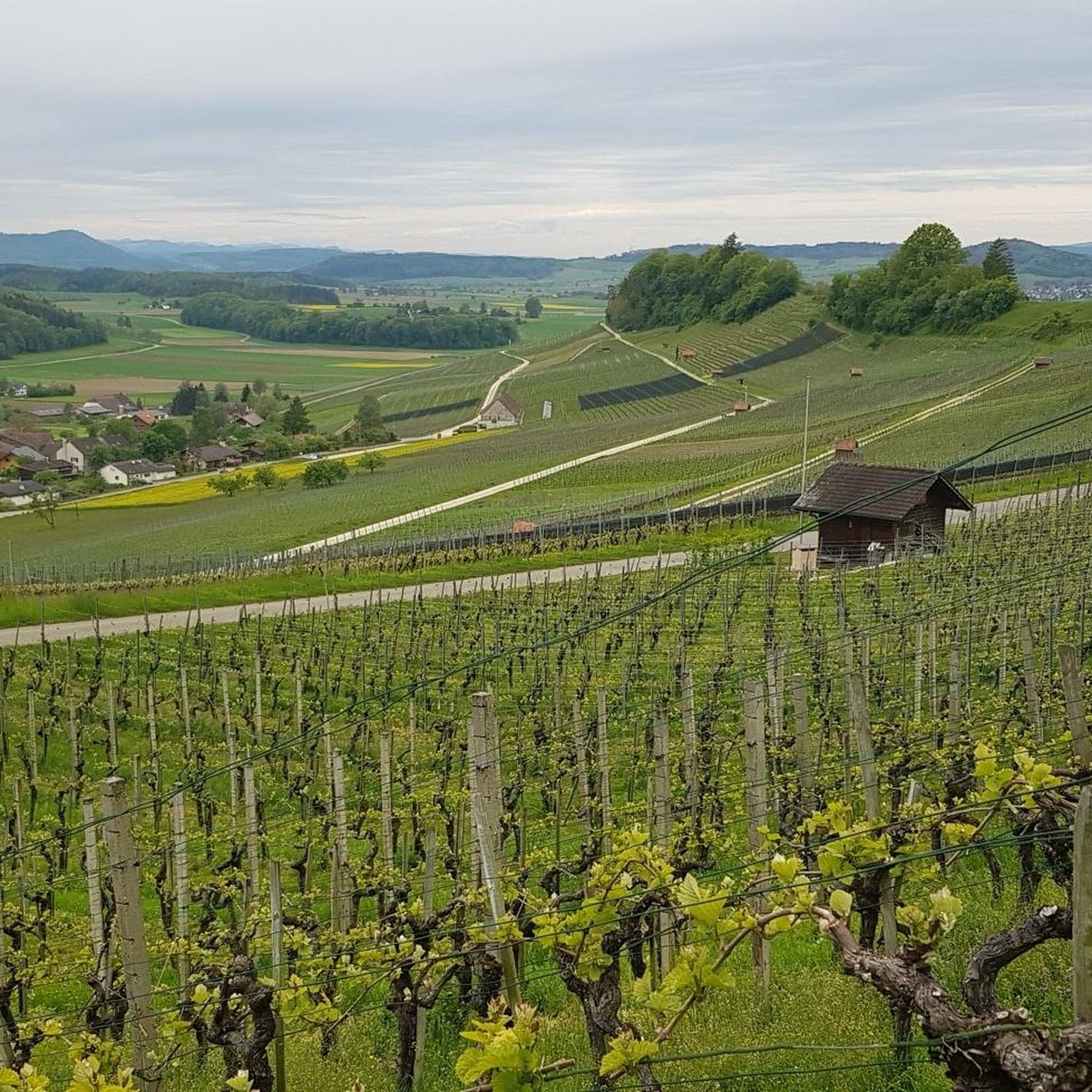
Hiking around Wilchingen
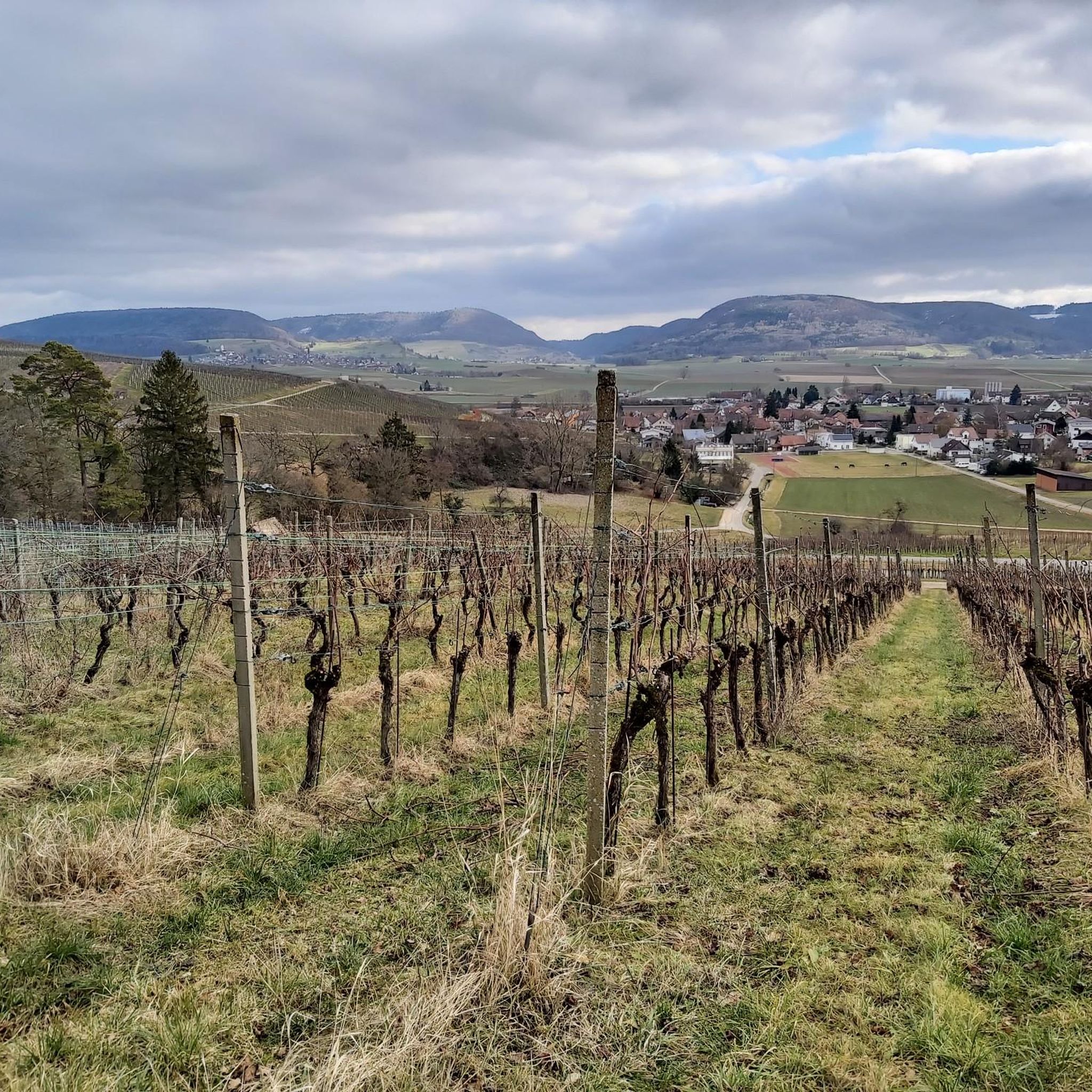
Hiking around Trasadingen
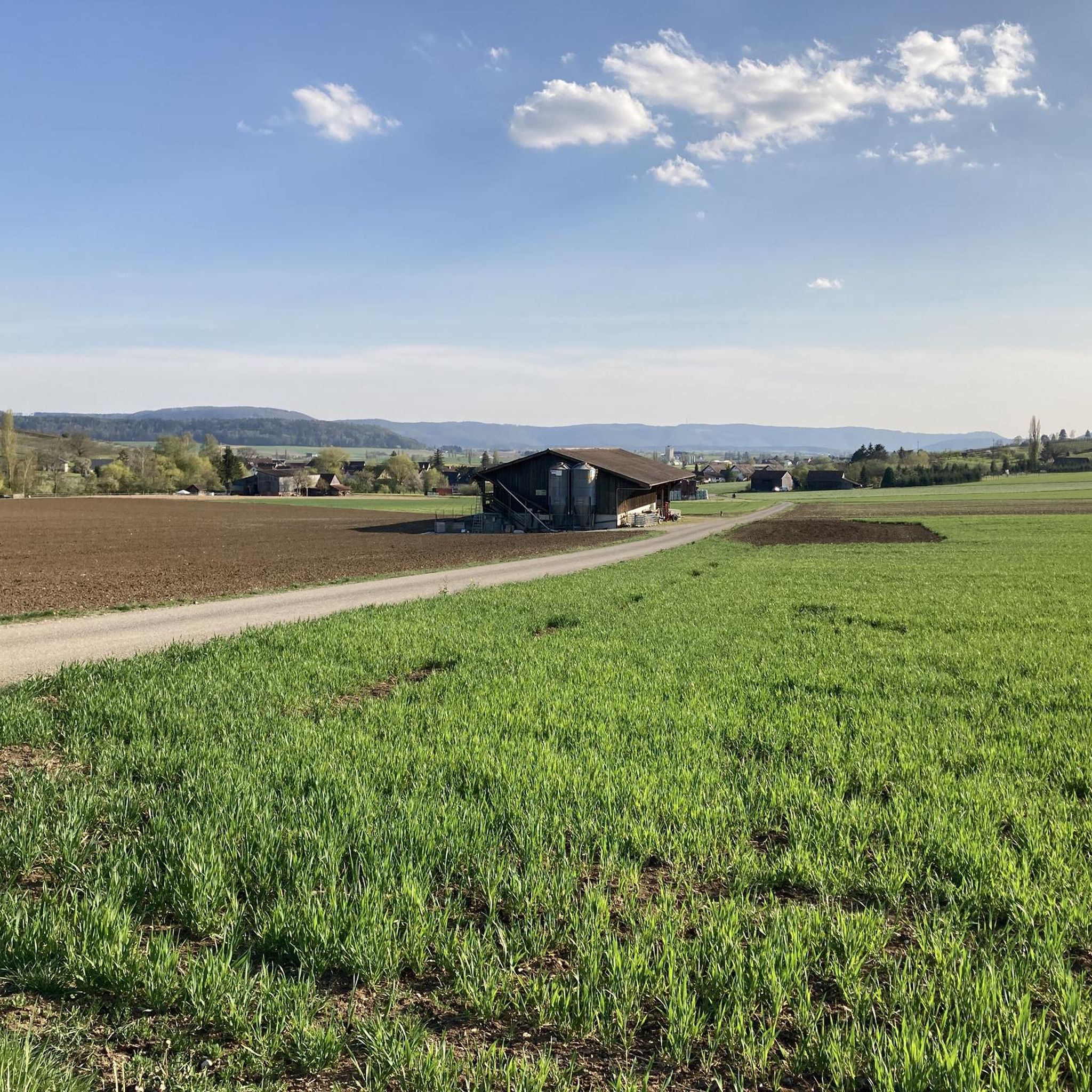
Hiking around Oberhallau
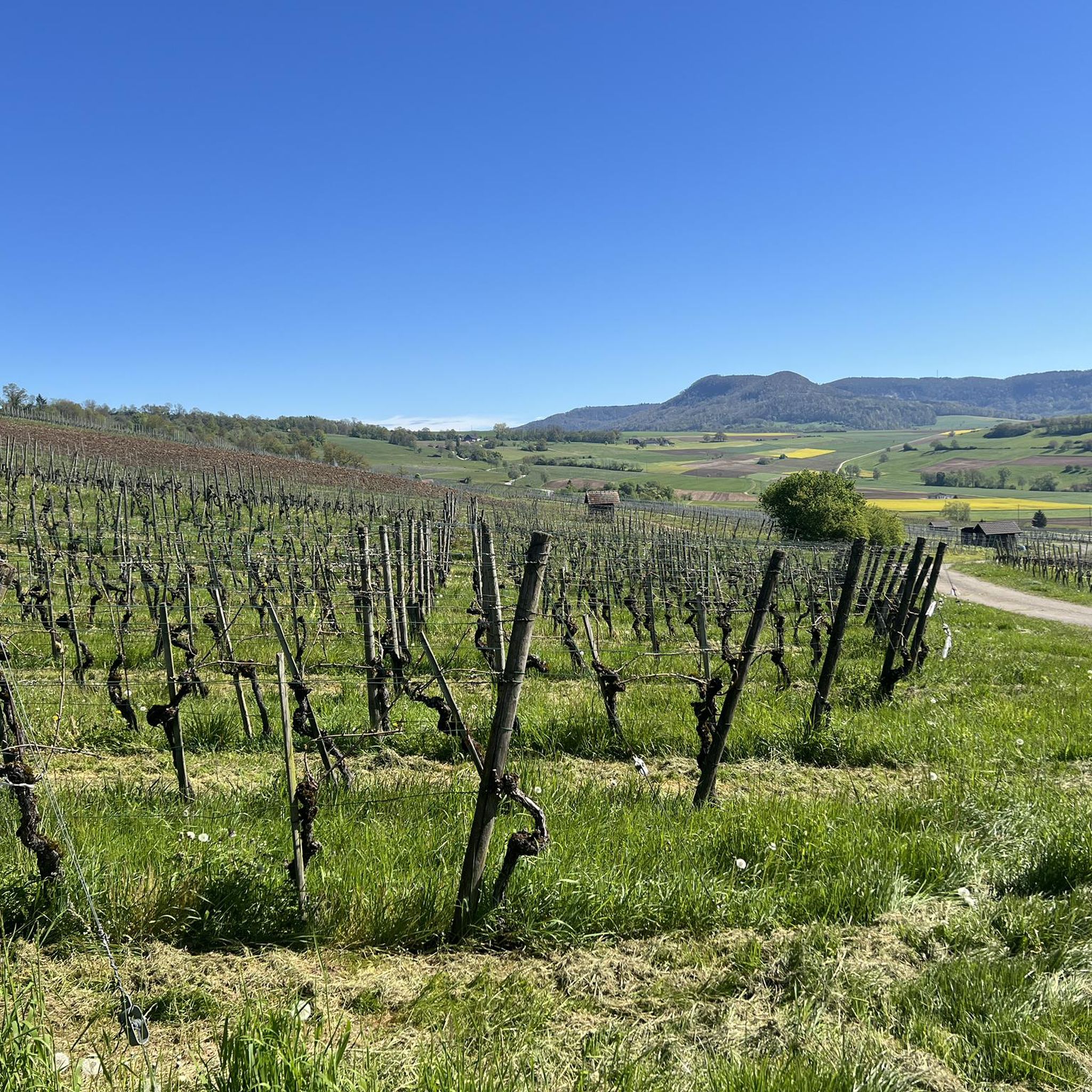
Hiking around Hallau
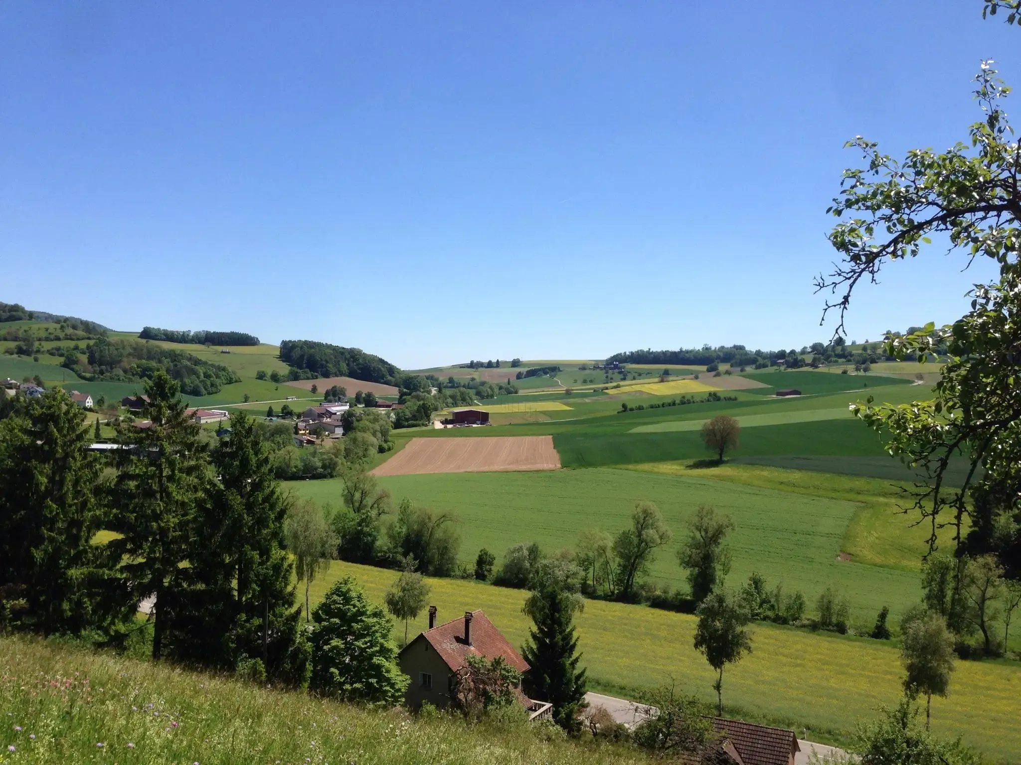
Klettgau-Rhein-Weg – hiking at the feet of the Alps

Lake and Alps Adventure – explore 100 dreamy places in our cycling region!
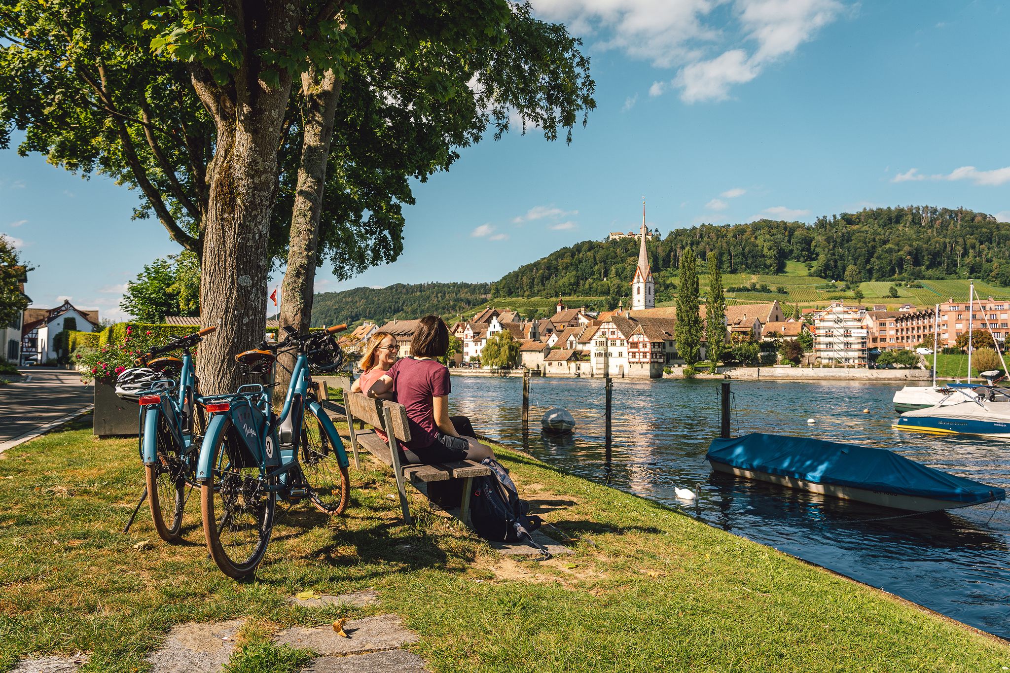
Rhine, vines, Randen – the top 5 cycle routes in Schaffhauserland
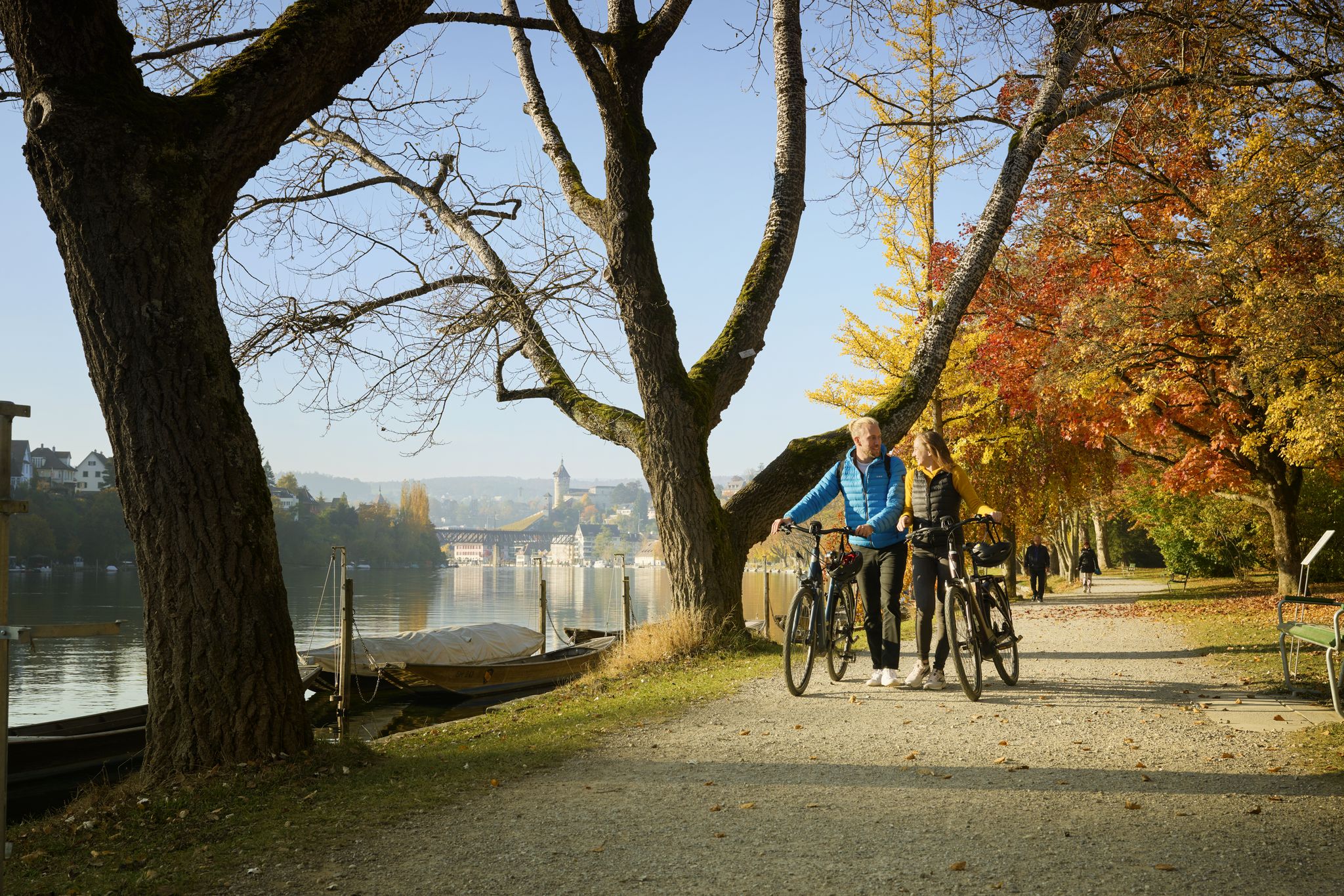
Rhine, Vines and Randen – autumn cycling routes in Schaffhauserland
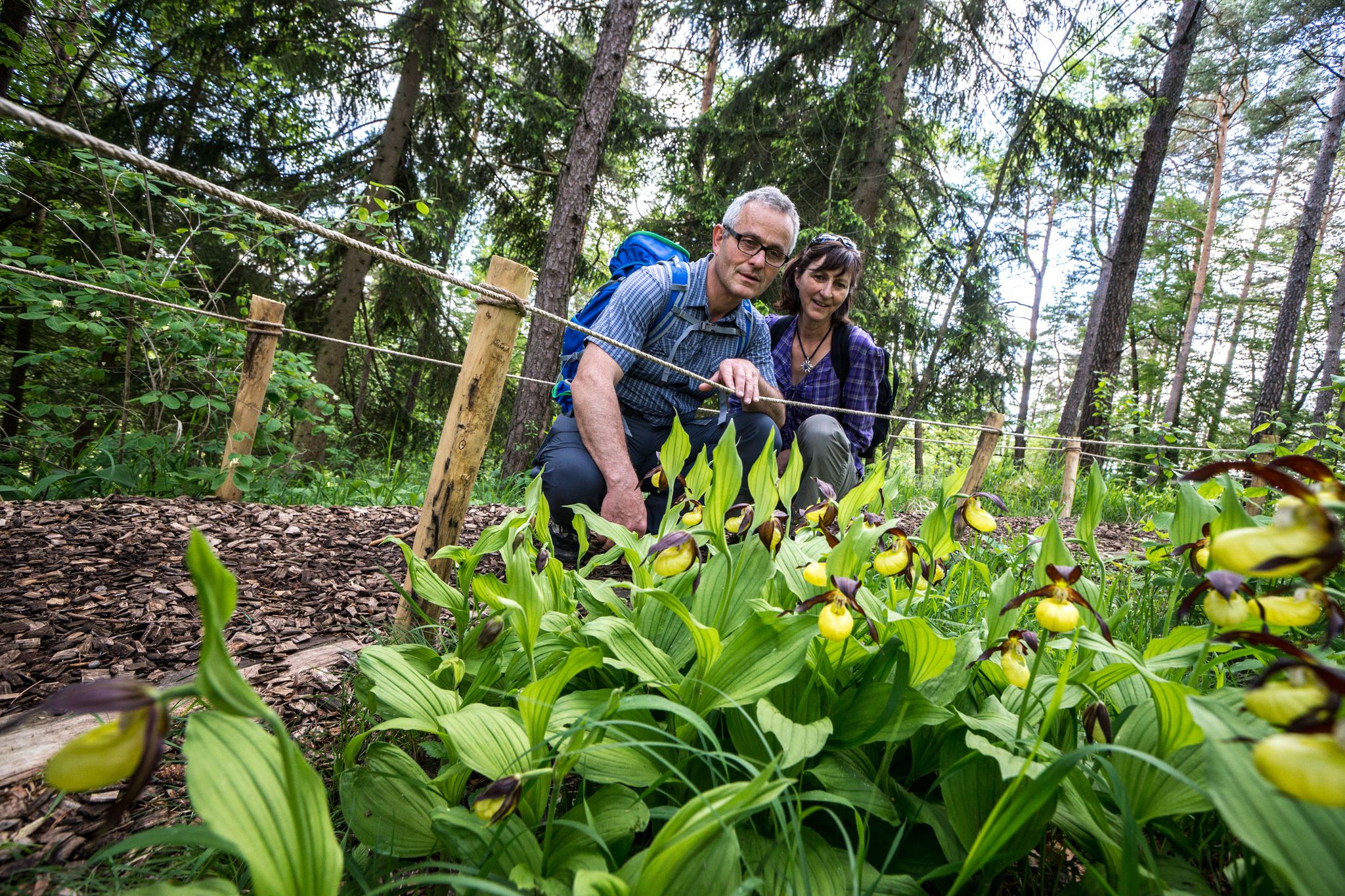
Wandern zwischen Rhein und Reben – Frühling im Schaffhauserland
Road Cycling Routes in Unterklettgau
Other adventures in Unterklettgau


Tips from the Community

Somewhat hidden in the "Flüe" (a local name for a rock formation), you'll find the Nagelfluh cave, also known as "Winterlislöchli". The area, with benches and a barbecue, offers a fantastic view of the German Klettgau region. According to local legend, a peddler woman named Winterlise once lived here for a time.
0
0
Between Wilchingen and Osterfingen, extensive vineyards shape the landscape of the Klettgau region. Rows of Pinot Noir, Riesling-Silvaner, and Pinot Gris stretch across the rolling hills, giving the region its distinctive character. The wine country reveals itself in a different light each season – from the fresh green of spring to the warm colors of autumn.
0
0


A beautiful and idyllic village center invites you to linger.
0
0

Thanks for the tip about the ruins, but I've been here before. I'm always amazed and impressed by how magnificent the view can be from here. You can see the mighty tree by the chapel, and with a little luck, a clear view of the Alps. From here, the world looks so beautiful (peaceful...). A tip is the path to the Rossberghof farm. From here, you can go down to the left to Osterfingen – but without me, at least never again on a mountain bike; the climb would be brutal... better take the road to the right, or to the Wasenhütte :-)
0
0
Radegg Castle Ruins (built in 1200, destroyed in 1300)
1
0
Frequently Asked Questions
How many hiking trails are available in Unterklettgau?
Unterklettgau offers a diverse network of over 60 hiking trails, catering to various preferences and fitness levels. These routes are highly rated by the komoot community, with an average score of 4.6 stars from over 400 reviews.
What kind of terrain can I expect on hikes in Unterklettgau?
You can expect a varied terrain in Unterklettgau, characterized by extensive vineyards, fertile agricultural land, and forested areas. Many paths wind through picturesque vineyards, especially around Hallau, and some routes lead through scenic gorges. The region is bordered by the Randen Hills, providing elevated viewpoints and a range of difficulties from easy walks to more challenging hikes.
Are there any family-friendly hiking trails in Unterklettgau?
Yes, Unterklettgau has several easy trails suitable for families. An excellent option is the Genussweg zwischen Wilchingen und Osterfingen, an easy 3.2-mile (5.2 km) path that takes about 1 hour 24 minutes to complete, offering a pleasant walk between two charming villages.
Can I bring my dog on hikes in Unterklettgau?
Most hiking trails in Unterklettgau are dog-friendly, allowing you to explore the beautiful landscapes with your canine companion. It's always recommended to keep dogs on a leash, especially near agricultural areas, vineyards, or wildlife. For a scenic and moderate option, consider the Hallau – View of the Klettgau Valley loop from Hallau, which offers expansive views.
What are some notable landmarks or attractions to see along the hiking trails?
Hikers can discover several interesting landmarks. The Radegg Castle Ruins are a popular spot, offering distant views on clear days. The St. Moritz Hill Church, Hallau is another landmark providing beautiful vistas over the vineyards. You might also encounter historic boundary stones and wayside shrines, like those found on the Zollstrasse route, or even rare orchid species and wild garlic in spring.
Are there circular hiking routes available in Unterklettgau?
Yes, many routes in Unterklettgau are circular, offering convenient starting and ending points. For example, the Radegg Castle Ruins – Rossberghof Inn loop from Wilchingen is a moderate 4.5-mile (7.3 km) circular path that leads to the historic Burgruine Radegg. Another option is the Rocky Forest Trail – Radegg Castle Ruins loop from Ruine Radegg, an easy 4.8-mile (7.7 km) loop.
What is the best time of year to go hiking in Unterklettgau?
Unterklettgau benefits from a mild climate and lies in the rain shadow of the Black Forest, making it one of Switzerland's driest and sunniest areas. This makes it suitable for hiking for much of the year. Spring and autumn are particularly pleasant for vineyard walks and enjoying the changing colors, while summer offers warm, sunny days. Even winter can be appealing for crisp walks, though some trails might be muddy.
Are there places to eat or stay overnight near the hiking trails?
Yes, the region offers cozy inns and hotels that serve regional cuisine, especially in villages like Hallau, Wilchingen, and Osterfingen. The Rossberghof Inn is a popular stop for hikers. You can also find various huts and shelters, such as Chläggi-Höckli or Lueg is Land Vineyard Hut, which are great for a break or picnic.
How can I access hiking trails in Unterklettgau using public transport?
Many villages in Unterklettgau, such as Hallau, Trasadingen, Wilchingen, and Osterfingen, are accessible by public transport, making it convenient to reach trailheads. It's advisable to check local bus and train schedules for specific routes and starting points. For instance, the Erzinger Mountain Chapel – Village Church Trasadingen loop from Trasadingen starts directly from Trasadingen.
What do other hikers enjoy most about hiking in Unterklettgau?
Hikers consistently praise Unterklettgau for its beautiful and varied landscapes, particularly the picturesque vineyards and the expansive views from elevated points. The komoot community has rated the trails highly, with an average of 4.6 stars, often highlighting the well-maintained paths and the blend of natural beauty with historical and cultural insights, such as the ancient Klettgau-Rhein-Weg.
Are there any challenging hikes for experienced hikers?
While many trails are easy to moderate, Unterklettgau also offers more challenging hikes for those seeking a greater physical test. These routes typically involve more significant elevation changes and longer distances, requiring good to very good fitness and sure-footedness. An example of a longer, moderate route is the Wasen Hut – Rossberghof Inn loop from Ruine Radegg, covering nearly 10 miles (16 km) with considerable ascent.
Where can I find parking for hiking trails in Unterklettgau?
Parking is generally available in or near the villages that serve as trailheads, such as Hallau, Wilchingen, and Trasadingen. Many popular starting points, especially for circular routes, will have designated parking areas. It's recommended to check specific route descriptions for detailed parking information before you set out.
Most popular routes in Unterklettgau
Most popular attractions in Unterklettgau

Get inspired with the komoot mobile app


Didn’t find what you were looking for?
Check out more Hikes throughout Unterklettgau below and find the perfect route in your destination.
Explore more
Browse the best Hikes in other regions.
