The best cycling routes around Tornolo
4.7
(113)
1,590
riders
99
rides
Touring cycling routes around Tornolo are set within the Apennine mountains, offering varied terrain for cyclists. The region is characterized by prominent peaks such as Monte Penna and Monte Zoccone, alongside several mountain passes like Passo di Cento Croci. Located in the Taro Valley, Tornolo provides diverse landscapes, including mountainous ascents and riverine areas. This environment supports a range of cycling experiences, from challenging climbs to routes through picturesque valleys.
Best touring cycling routes around Tornolo
- The most popular touring…
Last updated: October 30, 2026
5.0
(2)
127
riders
121km
08:33
2,300m
2,300m
Hard bike ride. Very good fitness required. Mostly paved surfaces.
4.5
(6)
46
riders
49.3km
03:52
1,340m
1,340m
Hard bike ride. Very good fitness required. Mostly paved surfaces.

4.3
(12)
52
riders
53.8km
03:33
760m
760m
Hard bike ride. Very good fitness required. Mostly paved surfaces.
35
riders
75.2km
05:21
1,520m
1,520m
Hard bike ride. Very good fitness required. Mostly paved surfaces.
4.0
(2)
54
riders
41.3km
04:14
1,240m
1,240m
Hard bike ride. Very good fitness required. You may need to push your bike for some segments of this route.
Get access to more routes and recommendations from other explorers.
Already have an account?
Our route recommendations are based on thousands of hikes, rides, and runs completed by other people on komoot.
Start today with a free account
Your next adventure awaits.
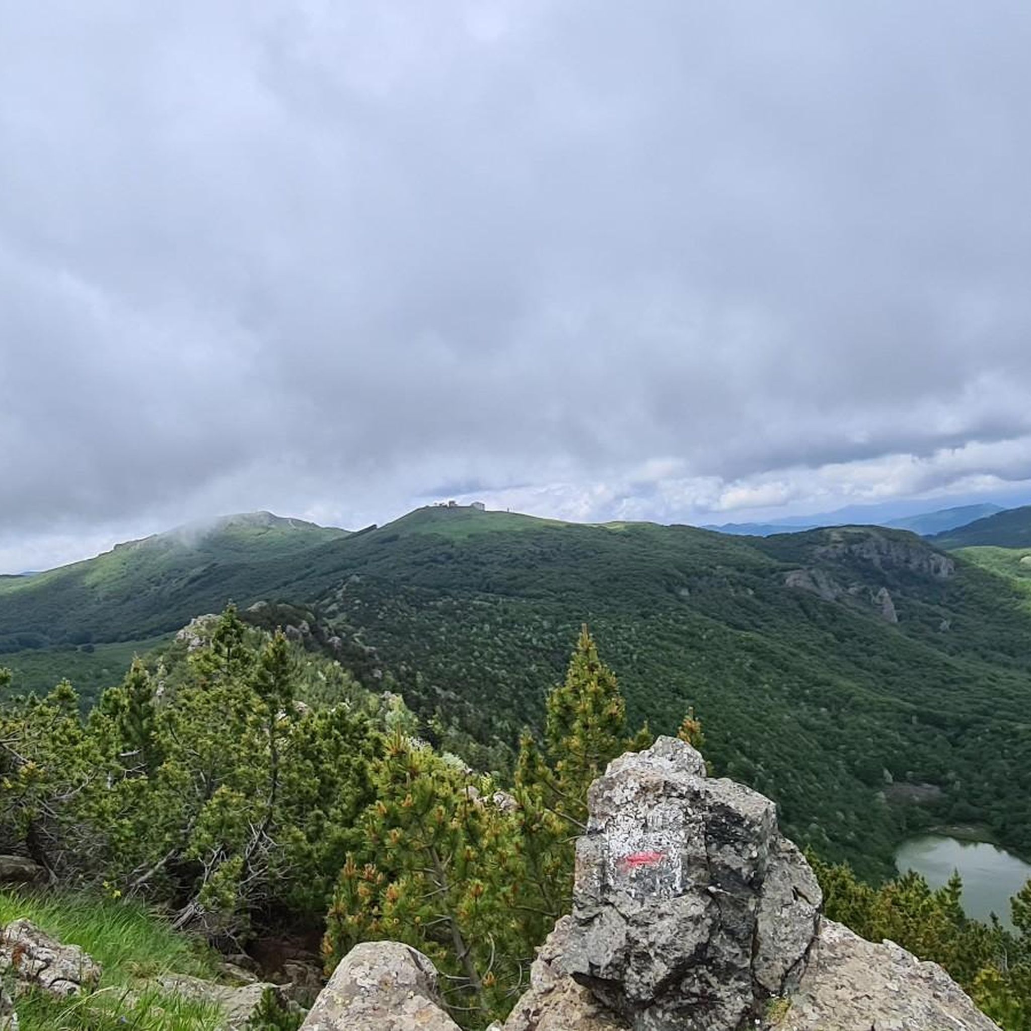
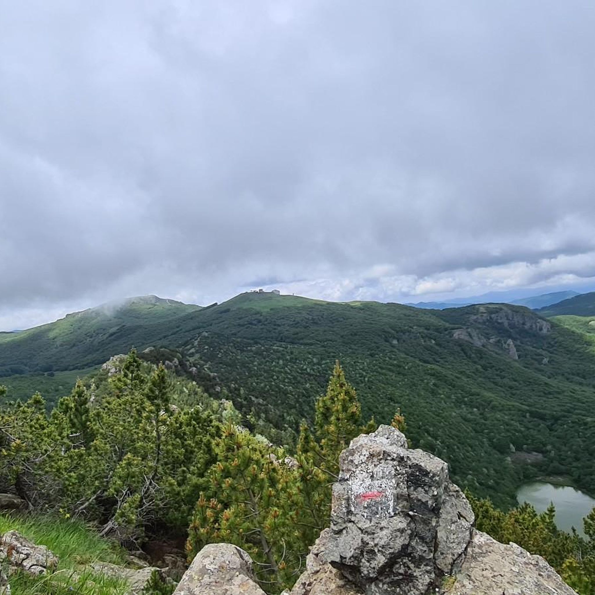
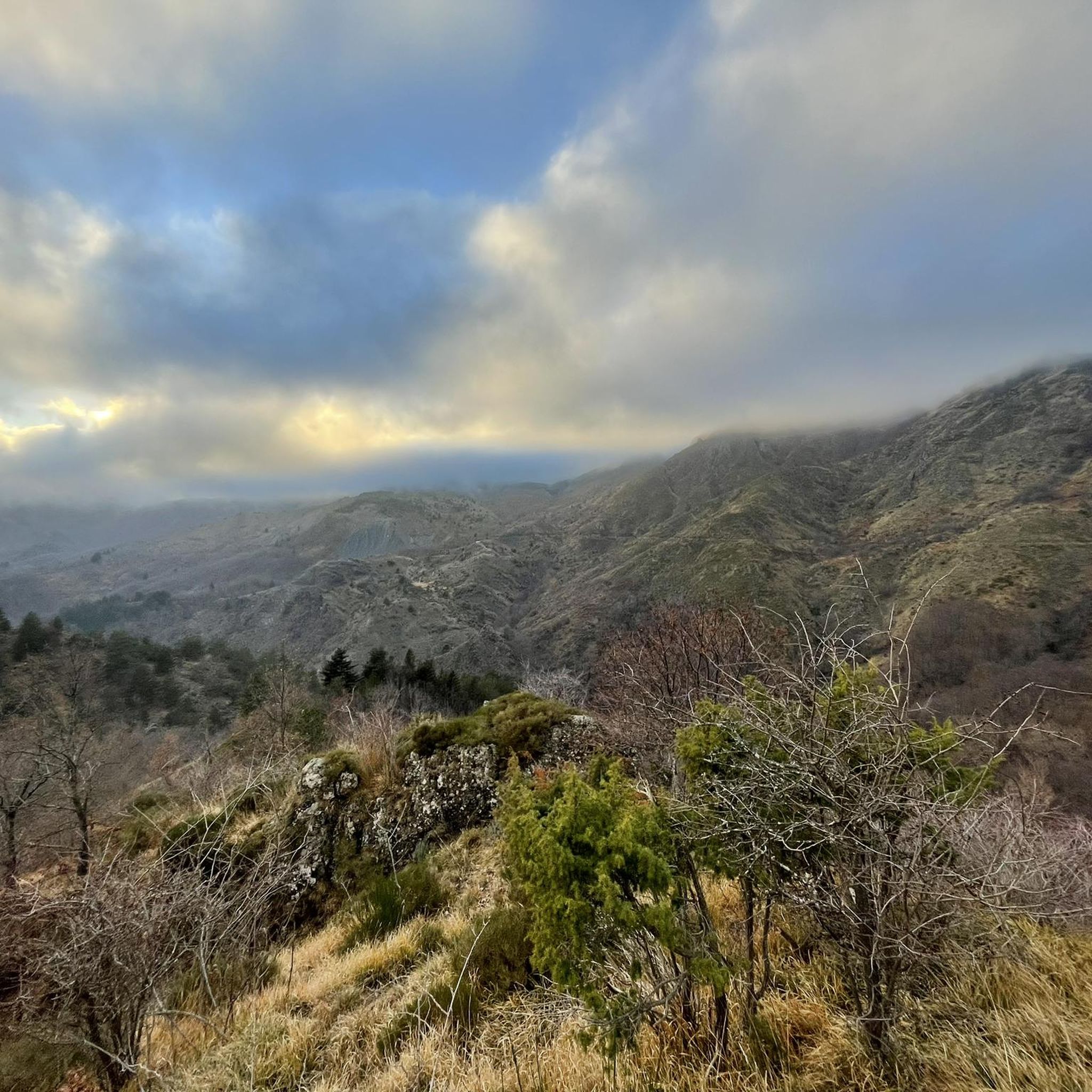
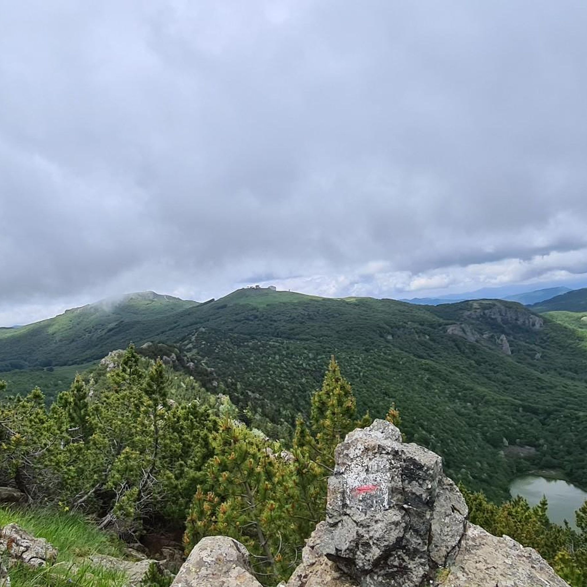

Tips from the Community

Good spot for a stop. Easy to reach
0
0
It is easily well marked along the forest road.
1
0
Beautiful hiking structure located at 1,400 meters, surrounded by beech trees and positioned on the border with the municipalities of Bedonia and Tornolo for the province of Parma, and Santo Stefano d'Aveto for the metropolitan city of Genoa. Too bad it is never open despite the structure being recent and in good condition.
0
0
Beautiful pass of the Ligurian Apennines located at 1,468 meters. Strategic point that offers various alternatives to start a walk or a long hike.
0
0
Pass of the Ligurian Apennines located at an altitude of 1,452 m, it is reachable by car and is a crossroads where various hiking trails branch off.
0
0
Born from the recovery of old barracks, it is a beautiful refuge where you can both eat and stay overnight. The location is stunning and makes it a must-stop when visiting these areas.
1
0


Situated at 717 meters above sea level, Santa Maria del Taro is a hamlet in the municipality of Tornolo (province of Parma), nestled in the heart of the Northern Apennines, near the border between Emilia and Liguria. Since the early Middle Ages, its strategic position along the ancient ridge road connecting the sea to the Po Valley has made it a transit and trade center, as well as a military and commercial control point. The name itself recalls the religious devotion that has permeated the town for centuries: the church-sanctuary dedicated to the Nativity of Mary, rebuilt in neoclassical style between 1807 and 1834, stands on an older structure and has been the spiritual center of the upper Taro Valley for centuries. The building, with its broad façade and stone bell tower, preserves a deep devotional tradition that is still alive. A short walk from the center is the Ponte dei Priori, a medieval humpbacked stone structure that once served as the only permanent access to the valley and symbolically marked the passage between the lands of the Malaspina and Fieschi families, two powerful feudal families of the Apennines. Over the centuries, Santa Maria del Taro has maintained an identity suspended between Emilian and Ligurian culture, evident in the features of its rural architecture, local dialects, and popular customs.
0
0
Frequently Asked Questions
How many touring cycling routes are available around Tornolo?
There are over 100 touring cycling routes around Tornolo, offering a wide range of options for cyclists of varying skill levels.
What kind of terrain can I expect on touring cycling routes in Tornolo?
Tornolo is nestled in the Apennine mountains, featuring prominent peaks like Monte Penna and Monte Zoccone, and several mountain passes such as Passo di Cento Croci. This means you'll encounter varied terrain, from challenging climbs to routes through picturesque valleys, particularly in the Taro Valley.
Are there routes suitable for beginners or less experienced touring cyclists?
While the majority of routes around Tornolo are classified as difficult, there are 2 easy and 11 moderate routes available. These offer less strenuous options for those looking for a more relaxed ride.
What do other touring cyclists enjoy most about cycling in Tornolo?
The komoot community highly rates the routes around Tornolo, with an average score of 4.6 stars from over 100 reviews. Cyclists often praise the diverse landscapes, challenging mountain passes, and the scenic beauty of the Apennines.
Are there any circular touring cycling routes around Tornolo?
Yes, many routes in the area are designed as loops. For example, you can try the Rifugio Monte Penna – View of Lago delle Lame loop from Monte Penna, which offers views of Monte Penna and Lago delle Lame.
What are some notable natural landmarks or scenic viewpoints along the touring cycling routes?
You can find several natural landmarks and scenic viewpoints. Consider visiting the Monte Bue summit and summit cross for extensive views, or the Passo di Cento Croci (1,055 m) which offers an alpine panorama. The Black Lake and Bargone Lake are also interesting natural features.
Can I find routes that pass through historical sites or charming villages?
Absolutely. The region is rich in history. The View of Santa Maria del Taro – Swimming in the Taro River loop from Tornolo leads through the village of Santa Maria del Taro, known for its ancient monastic history and stone bridge. You can also explore nearby medieval villages and castles like Castello di Gravago and Castello di Compiano.
What is the best time of year for touring cycling in Tornolo?
Tornolo is a popular summer destination, suggesting favorable weather for cycling during those months. The region's focus on 'green tourism' also points to spring and autumn as excellent times to enjoy the natural surroundings without extreme heat.
Are there any routes that feature significant mountain passes?
Yes, the Apennine region around Tornolo is known for its mountain passes. The Bocco Pass – Passo del Ghiffi loop from Monte Zatta di Levante is a challenging route that navigates through significant mountain passes, providing an alpine cycling experience.
Are there any routes that include river views or opportunities for swimming?
Yes, the Swimming in the Taro River – Costa di Bedonia, Tornolo Side loop from Pontestrambo offers views of the Taro River and potential spots for a refreshing dip, making it a great option for warmer days.
What is the average length and duration of touring cycling routes in Tornolo?
The routes vary significantly. For example, the Rifugio Monte Penna – View of Lago delle Lame loop from Monte Penna is about 26 miles (42 km) and takes nearly 4 hours, while the Passo del Chiodo – Rifugio Monte Penna loop from Giaiette is around 25 miles (41 km) but can take over 4 hours due to its challenging elevation.
Most popular attractions around Tornolo

Get inspired with the komoot mobile app


Explore more
Browse the best Cycling routes in other regions.
