The best road cycling routes around Tornolo
4.2
(84)
2,663
riders
59
rides
Road cycling routes around Tornolo are set within the Apennine mountains, offering a diverse landscape of rugged climbs, rolling hills, and panoramic roads. The region is characterized by extensive chestnut, beech, and fir forests, alongside the scenic Taro Valley. This varied terrain provides numerous ascents and descents, making it suitable for different levels of road cycling.
Best road cycling routes around Tornolo
- The most popular road cycling route is Bocco Pass – Passo di Cento Croci (1,055 m) loop from…
Last updated: November 1, 2026
4.8
(13)
382
riders
123km
06:40
2,390m
2,390m
Hard road ride. Very good fitness required. Mostly well-paved surfaces and easy to ride.
4.2
(13)
248
riders
81.6km
04:28
1,620m
1,620m
Hard road ride. Very good fitness required. Mostly well-paved surfaces and easy to ride.

117
riders
109km
06:07
2,450m
2,450m
Hard road ride. Very good fitness required. Mostly well-paved surfaces and easy to ride.
4.8
(4)
85
riders
63.5km
03:39
1,470m
1,470m
Hard road ride. Very good fitness required. Mostly well-paved surfaces and easy to ride.
4.0
(2)
83
riders
Moderate road ride. Good fitness required. Mostly well-paved surfaces and easy to ride.
Get access to more routes and recommendations from other explorers.
Already have an account?
Our route recommendations are based on thousands of hikes, rides, and runs completed by other people on komoot.
Start today with a free account
Your next adventure awaits.
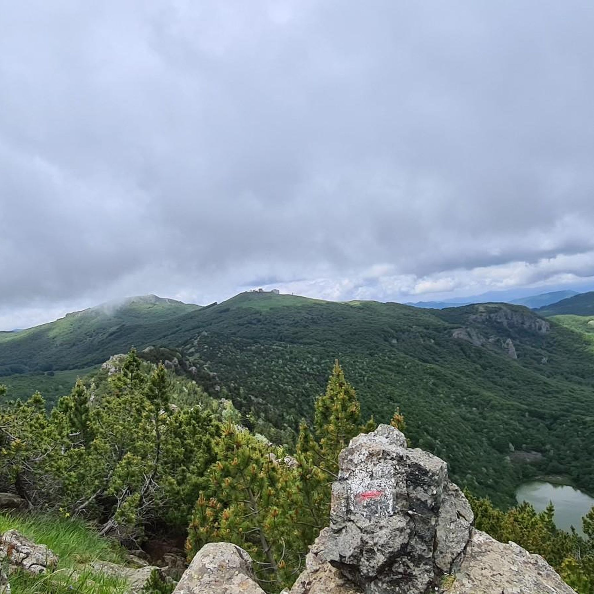
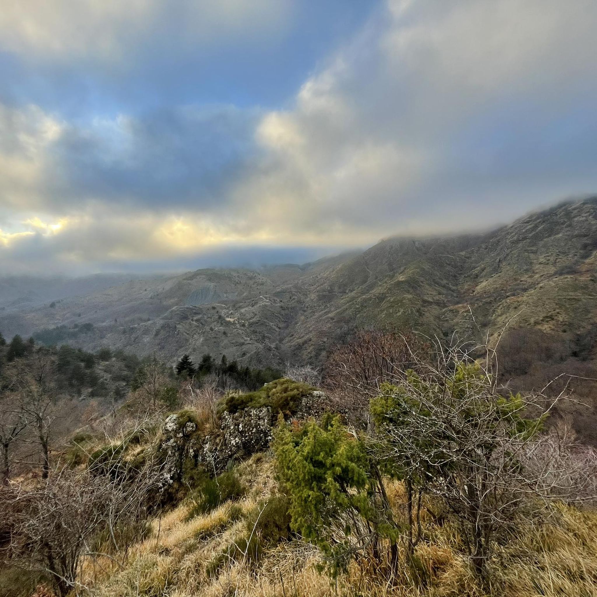
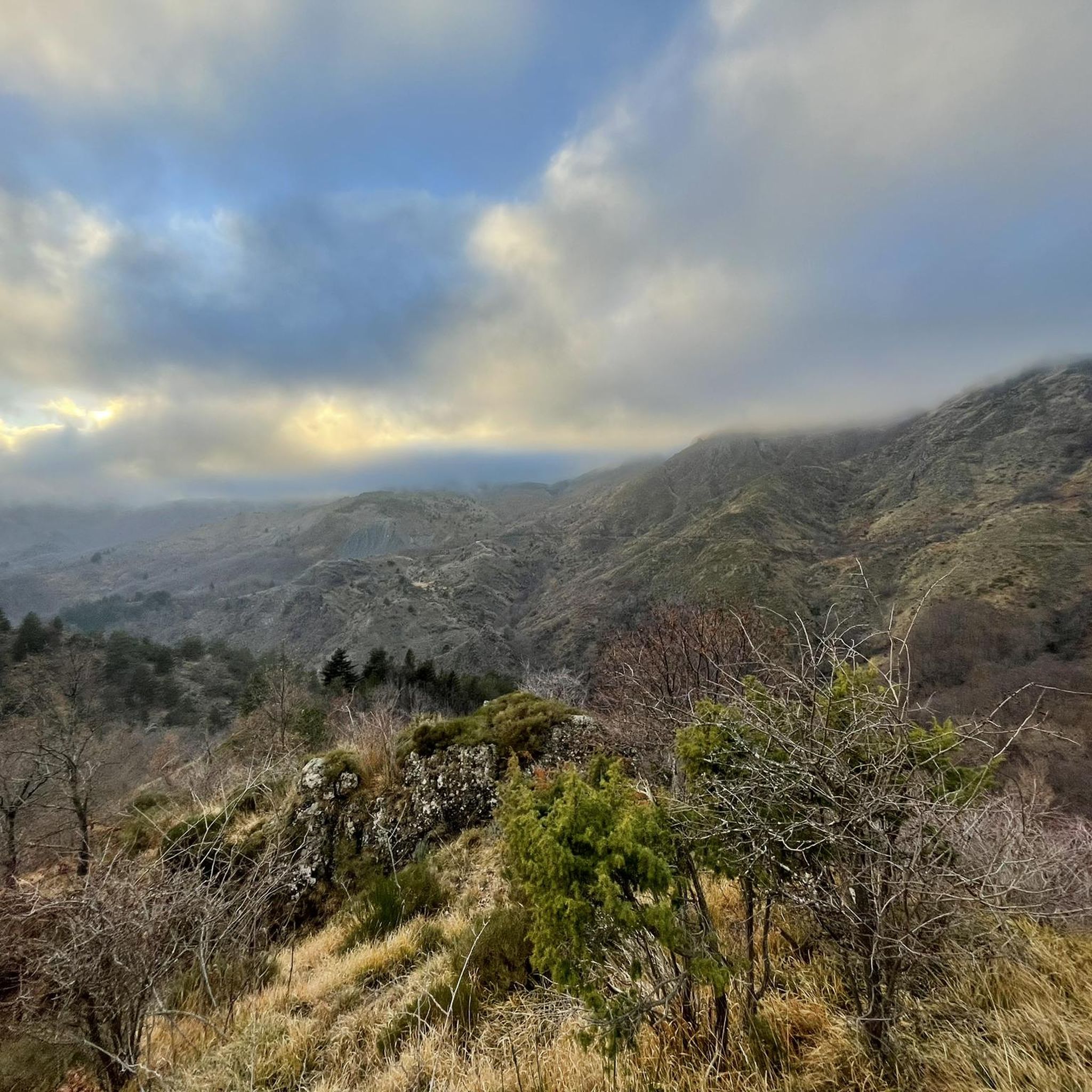
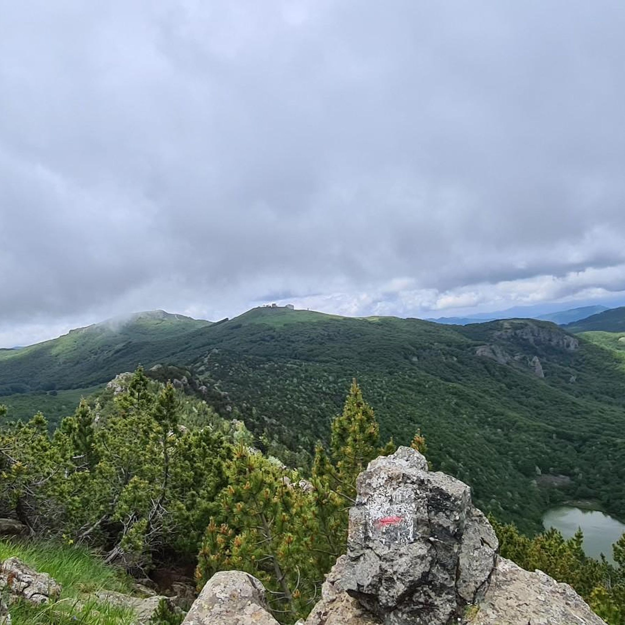

Tips from the Community

Between the Passo and Varese Ligure, on the stretch under the jurisdiction of the Province of La Spezia, the road surface is a crime against... cyclists. When descending, you need to be very careful and ride at a very low speed so as not to risk your bike, your "rear end", and your teeth. But it's not easy at all on the climb either.
0
0

The scenic road between Lavagna and Cavi is an alternative route to the Via Aurelia that skirts the hills and offers a splendid view of the sea. Main features Route: A narrow and winding road ideal for avoiding traffic on the coastal road. Activities: It is a highly recommended stretch for road cycling and scenic walks. Elevation gain: It features a slight climb of about 50 meters and a descent of 40 meters.
0
0

Fresh and comfortable, on the road...
0
0
Pass of the Ligurian Apennines located at an altitude of 1,452 m, it is reachable by car and is a crossroads where various hiking trails branch off.
0
0


beautiful, quiet pass with picnic area
0
0

Update September 2025: Fieschi Castle is temporarily closed for renovations
0
0
Frequently Asked Questions
How many road cycling routes are available around Tornolo?
Tornolo offers a wide variety of road cycling routes, with over 60 different tours available. These routes cater to various skill levels, including 4 easy, 24 moderate, and 39 difficult options, ensuring there's a ride for every road cyclist.
What kind of terrain can I expect on road cycling routes in Tornolo?
Road cycling in Tornolo is characterized by its diverse Apennine mountain terrain. You'll encounter rugged climbs, scenic panoramic roads, and rolling hills. The routes often wind through lush chestnut, beech, and fir forests, and along the picturesque Taro Valley, providing a varied and engaging cycling experience.
Are there challenging climbs for experienced road cyclists?
Yes, Tornolo is an excellent destination for experienced road cyclists seeking challenging climbs. The region is home to significant mountain passes like the Passo di Cento Croci and Bocco Pass. Routes such as the Bocco Pass – Passo di Cento Croci (1,055 m) loop from Carniglia, covering 72 miles with over 7,400 feet of elevation gain, offer demanding ascents and rewarding alpine panoramas.
What are some scenic viewpoints or natural features to look out for?
The road cycling routes around Tornolo offer numerous scenic viewpoints and natural features. You'll ride through extensive forests and along valleys. The higher elevations, especially around passes like Passo di Cento Croci, provide grandiose landscapes. While not directly on cycling routes, the wider region features beautiful lakes like Black Lake and Bargone Lake, and the Ravezza Waterfall, which can be points of interest for exploration.
Can I find historical landmarks or cultural sites along the routes?
Yes, beyond the natural beauty, the Tornolo area offers historical and cultural points of interest. Nearby towns feature attractions like the 13th-century Castello di Gravago and the 1141-built Castello di Compiano. The town of Tarsogno also holds traces of the ancient Roman road, Via Claudia, providing interesting stops during longer tours.
What is the best time of year for road cycling in Tornolo?
The Emilia-Romagna region, where Tornolo is located, is known for its long cycling season and mild climate. Generally, spring through autumn offers the best conditions for road cycling, allowing you to enjoy the diverse terrain and scenic passes without extreme weather. Summer is particularly popular for 'green tourism' due to the unspoiled natural environment.
Are there any circular road cycling routes?
Yes, many of the road cycling routes around Tornolo are designed as loops, allowing you to start and finish in the same location. Examples include the challenging Passo del Biscia – Bocco Pass loop from Parco Regionale dell'Aveto and the Bocco Pass – Wouter Weylandt Memorial loop from Monte Zatta di Levante, which are popular choices among local cyclists.
What do other cyclists say about road cycling in Tornolo?
The road cycling experience in Tornolo is highly rated by the komoot community, with an average score of 4.6 stars from over 100 reviews. More than 2,500 road cyclists have used komoot to explore the varied terrain, often praising the challenging climbs, scenic mountain passes, and the lush, unspoiled natural surroundings.
Are there options for less experienced or beginner road cyclists?
While Tornolo is known for its challenging mountain routes, there are also options suitable for less experienced or beginner road cyclists. The region offers moderate routes, such as the Vicolo delle Molini, Bedonia – Fountain in Tornolo loop from Pontestrambo, which covers 30 miles with around 2,100 feet of elevation gain, providing a good balance of distance and climb without being overly strenuous.
What are the typical weather conditions for road cycling in Tornolo?
Tornolo, situated in the Apennine mountains, experiences a mild climate, especially during the main cycling season from spring to autumn. Summers are generally pleasant, making it ideal for outdoor activities. However, as with any mountainous region, weather can change, so it's always advisable to check the local forecast before heading out, especially for higher passes.
Where can I find parking for road cycling routes in Tornolo?
Many road cycling routes around Tornolo start from towns or villages where public parking is typically available. For specific routes, it's often possible to find parking near the designated starting points, such as in Carniglia, Parco Regionale dell'Aveto, or Monte Zatta di Levante, depending on your chosen tour. Always check local signage for parking regulations.
Is public transport available to access road cycling routes in Tornolo?
Accessing road cycling routes in Tornolo primarily relies on personal transport due to its mountainous and somewhat remote location. While local bus services might connect some villages, direct public transport options specifically tailored for cyclists to reach trailheads are limited. Planning your journey with a car is generally the most convenient way to access the diverse routes.
Are there any family-friendly road cycling options?
While many routes in Tornolo feature significant elevation changes, there are some easier and moderate options that might be suitable for families with older children or those looking for a less strenuous ride. These routes tend to stick to lower elevations or valleys. Always check the route's difficulty and elevation profile on komoot to ensure it matches your family's capabilities.
Can I find cafes or places to stop for refreshments along the routes?
Yes, many road cycling routes in Tornolo pass through or near small towns and villages where you can find cafes, trattorias, or small shops to stop for refreshments. These stops offer a chance to refuel and experience local hospitality. It's always a good idea to plan your route and note potential stops in advance, especially on longer or more remote rides.
Can I combine road cycling with visiting other attractions in the Emilia-Romagna region?
Absolutely. Tornolo's location within Emilia-Romagna makes it an excellent base for combining road cycling with exploring the wider region. Emilia-Romagna is renowned for its diverse landscapes, from coastal areas to challenging Apennine passes, and its rich culinary and cultural heritage. You can easily plan multi-day tours that include both cycling and visits to other towns or natural parks.
Most popular attractions around Tornolo

Get inspired with the komoot mobile app


Explore more
Browse the best Road cycling routes in other regions.
