The best cycling routes around Signa
4.4
(1645)
24,157
riders
32
rides
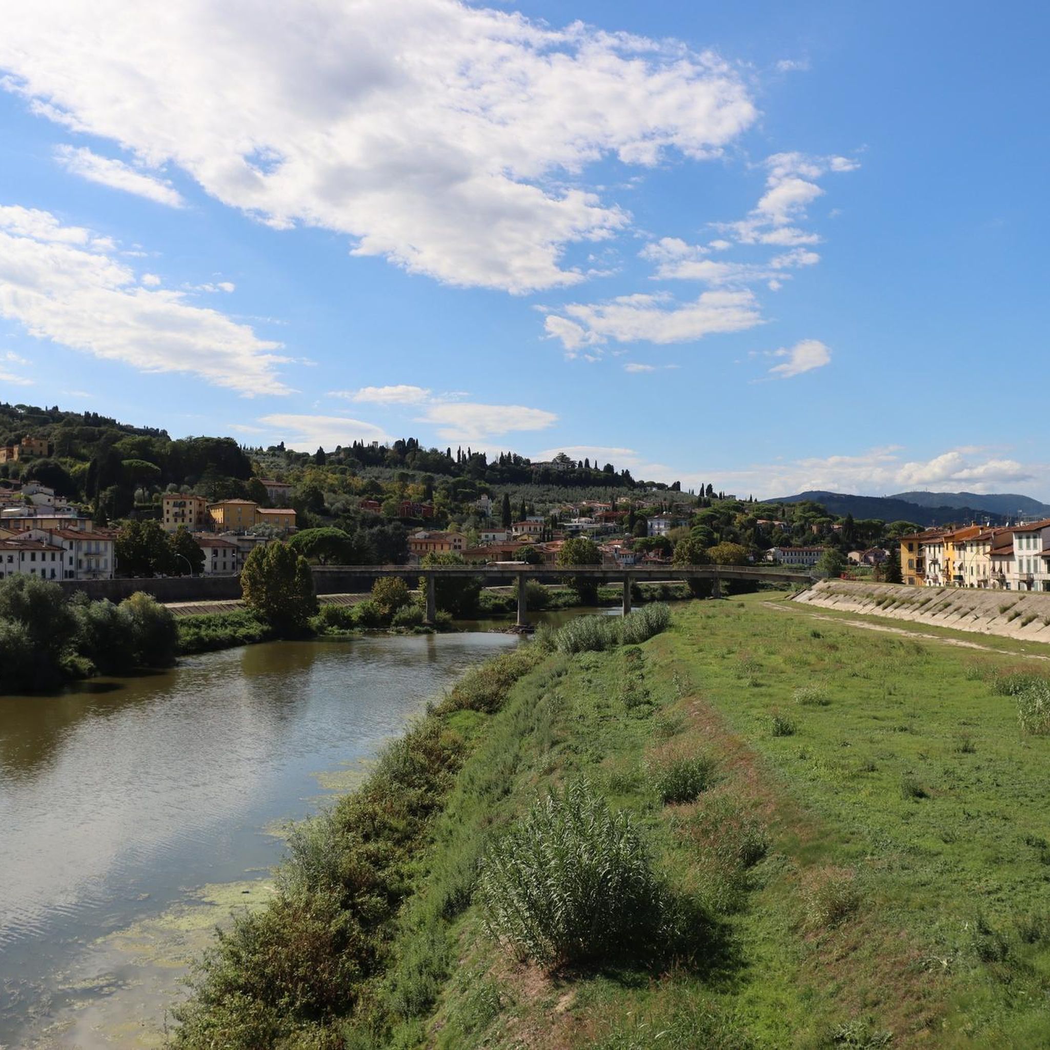
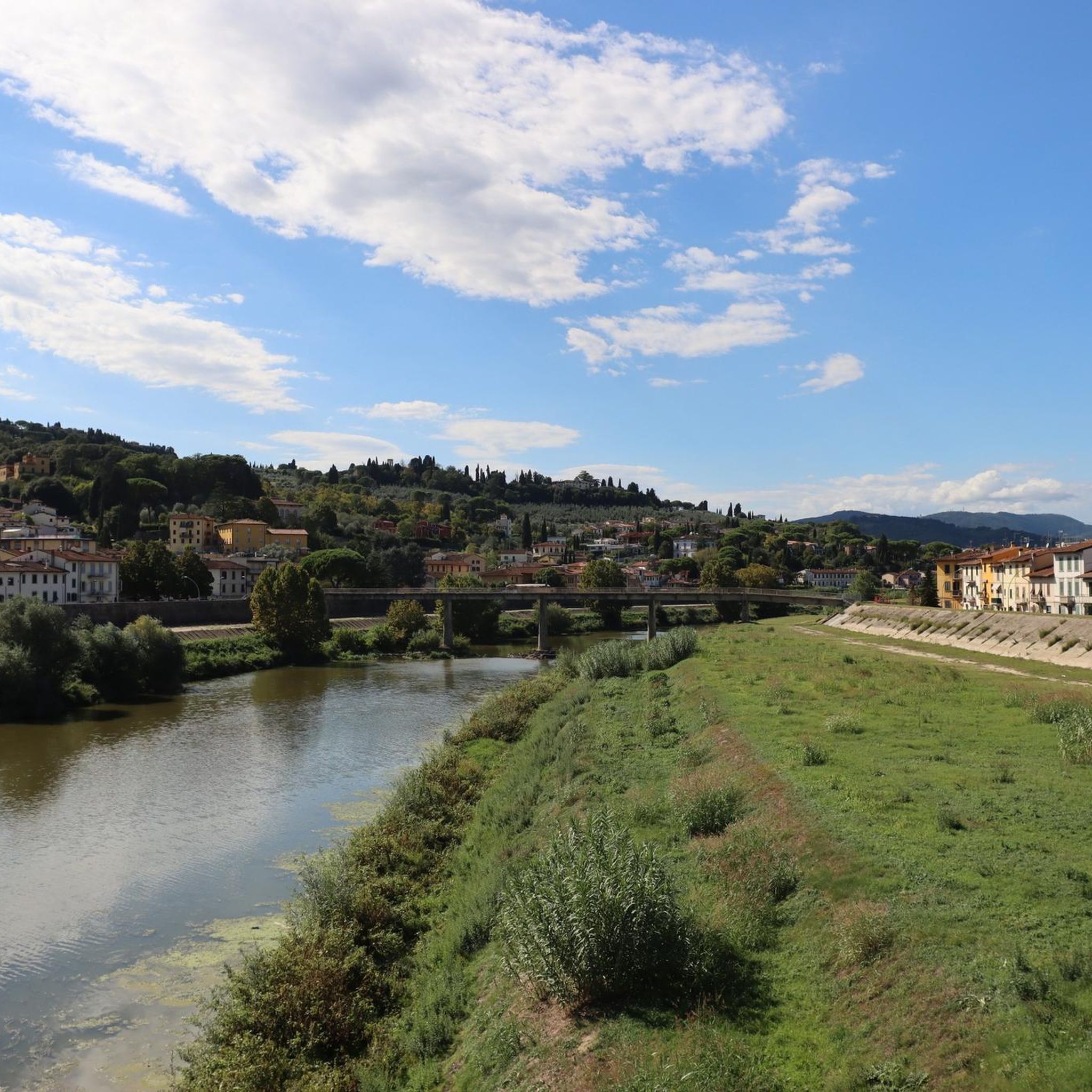
Touring cycling around Signa features routes that often follow the courses of the Arno and Bisenzio rivers, providing relatively flat terrain suitable for various skill levels. The landscape includes riverine paths, agricultural areas, and occasional gentle ascents towards historic villages or bridges. The region is characterized by a mix of open countryside and sections passing through small towns.
Best touring cycling routes around Signa
- The most popular touring cycling route is Arno River Cycle Path – Cyclopedestrian Bridge over the…
Last updated: October 28, 2026
5.0
(2)
161
riders
Hard bike ride. Very good fitness required. Mostly paved surfaces.
4.5
(58)
358
riders
48.0km
03:18
240m
240m
Moderate bike ride. Good fitness required. Mostly paved surfaces.

4.3
(4)
57
riders
Hard bike ride. Very good fitness required. Mostly paved surfaces.
53
riders
152km
10:38
2,740m
2,740m
Hard bike ride. Very good fitness required. Mostly paved surfaces.
4.6
(7)
53
riders
45.0km
02:53
520m
520m
Hard bike ride. Very good fitness required. Mostly paved surfaces.
Get access to more routes and recommendations from other explorers.
Already have an account?
Our route recommendations are based on thousands of hikes, rides, and runs completed by other people on komoot.
Start today with a free account
Your next adventure awaits.

Tips from the Community

The summit of San Baronto is located at an altitude of 349 meters above sea level in the heart of Montalbano, in Tuscany. This hamlet of the municipality of Lamporecchio (PT) is considered the "homeland" and symbol of Tuscan cycling, a historic meeting point for both amateur cyclists and professionals in training. At the top of the climb, the local cycling tradition revolves around two fixed stages: the famous Fontanella (water refill point for bottles) and the passage in front of the Church or the bars at the pass for a classic slice of cake.
0
0
Giotto's Campanile is the splendid bell tower of the Cathedral of Santa Maria del Fiore in Florence, about 84.7 meters high and a masterpiece of the Italian Gothic style. Main Information Architecture: Clad in white, red, and green marble, it was begun by Giotto in 1334 and completed by Francesco Talenti in 1359. The climb: You climb to the top terrace by overcoming 414 steps, with three intermediate loggias useful for resting and admiring the panorama. Tickets: Access is part of the Duomo complex and it is recommended to book an official pass (like the Giotto Pass for about €20).
0
0
Piazza della Signoria has been the political and civil heart of Florence since the Middle Ages, a true open-air museum that develops in a characteristic "L" shape between Piazza del Duomo and the Arno River. Compared to the city's religious center, this space has represented the seat of secular power and Florentine social life for over seven centuries.
0
0
Vinci is an Italian municipality of about 14,500 inhabitants located in the metropolitan city of Florence, in Tuscany. The village is world-famous for being the birthplace of Leonardo da Vinci, the undisputed genius of the Renaissance. The town develops as a true open-air museum dedicated to the scientist and artist, nestled among the hills of Montalbano, amidst centuries-old olive groves and vineyards.
0
0

From the summit of San Baronto (about 350 m above sea level in the Montalbano hills), the panorama opens onto the surrounding valley, offering a splendid view of the typical Tuscan landscape. The view stretches over hills rich in olive trees and woods, reaching out to clearly discern the profiles of the nearby city of Pistoia, the plain towards Florence, and the gentle slopes descending towards Vinci.
1
0
Prunetta is a characteristic mountain hamlet located at almost 1,000 meters above sea level in the municipality of San Marcello Piteglio, within the evocative Montagna Pistoiese in Tuscany. The village has about 300 inhabitants and is a place known for summer tourism, trekking, and its particular geographical position.
0
0
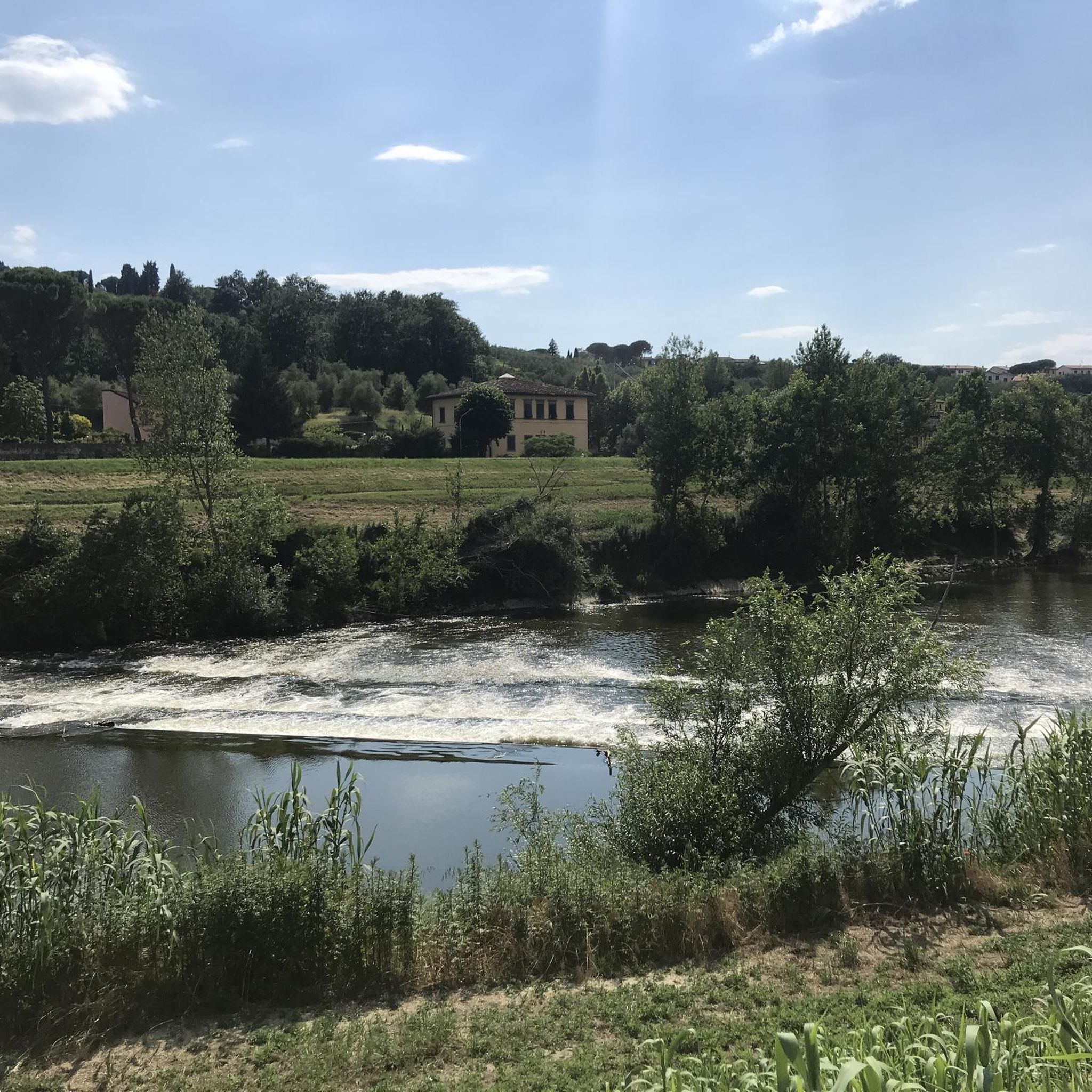
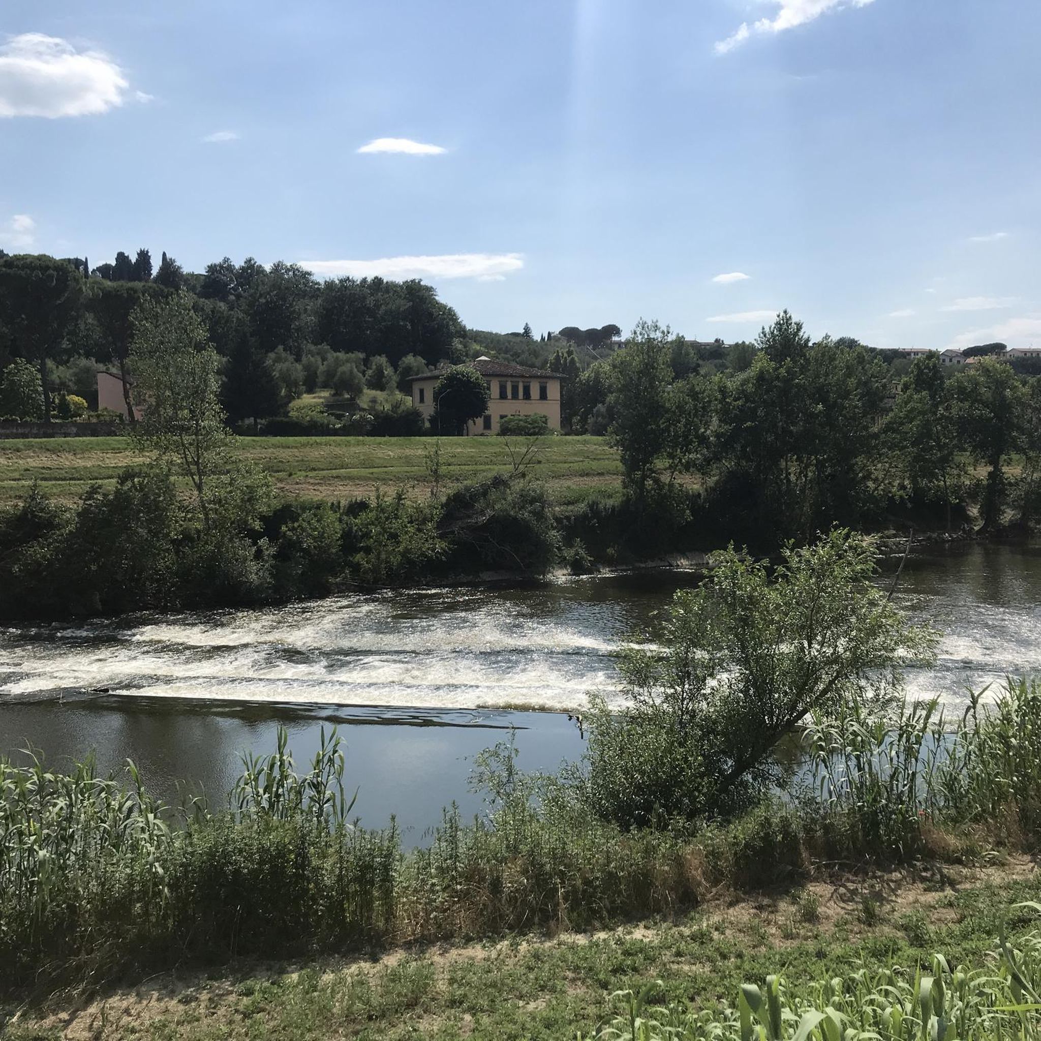
The Torrente Stella is a watercourse in Tuscany, about 21 kilometers long, located mainly in the province of Pistoia. It is one of the main tributaries of the Ombrone.
0
0

The San Moro mill, named after the place where it is located, San Mauro a Signa, at the confluence of the Fosso Macinante and the Bisenzio. The mill dates back to the 17th century and is the only surviving example of the many mills that once stood along the Fosso Macinante, which, despite their poor state of preservation, still preserve the grinding mechanism and other architectural details. Source Wikipedia
4
0
Frequently Asked Questions
How many touring cycling routes are available around Signa?
There are over 35 touring cycling routes around Signa, offering a variety of experiences. These include 5 easy routes, 12 moderate routes, and 18 difficult routes, catering to different skill levels.
Are there any easy touring cycling routes suitable for beginners or families in Signa?
Yes, Signa offers several easy routes perfect for beginners or families. A great option is the Arno River Cycle Path – Cyclopedestrian Bridge over the Arno loop from Signa, which is an accessible 12.2-mile (19.6 km) trail along the river.
What kind of terrain can I expect on touring cycling routes around Signa?
The touring cycling routes around Signa primarily follow the courses of the Arno and Bisenzio rivers, providing relatively flat terrain. You'll encounter riverine paths, agricultural areas, and occasional gentle ascents towards historic villages or bridges. The landscape is a mix of open countryside and sections passing through small towns.
Are there more challenging touring cycling routes for experienced cyclists?
Absolutely. For experienced cyclists seeking a challenge, Signa offers 18 difficult routes. One such route is the Vitruvian Man Sculpture, Vinci – Manetti Bridge loop from San Donnino, a 47.1-mile (75.9 km) trail leading through the countryside towards Vinci with significant elevation gain.
What are some scenic highlights or points of interest along the touring cycling routes?
Many routes offer scenic views and pass by interesting landmarks. You can explore historical sites like Pitti Palace, or natural monuments such as Devil’s Rock (Pietramarina). The river paths themselves provide picturesque views of the Tuscan landscape.
Are there any circular touring cycling routes around Signa?
Yes, many routes around Signa are designed as loops, allowing you to start and end in the same location. For example, the Pesa Bridge over the Turbone – San Vincenzo a Torri Bike Path loop from Signa is a moderate 30.6-mile (49.2 km) circular path traversing varied terrain.
What is the best time of year to go touring cycling in Signa?
The spring and autumn months generally offer the most pleasant weather for touring cycling in Signa, with mild temperatures and beautiful scenery. Summer can be warm, especially in July and August, but riverine routes often provide some shade.
Can I find routes that pass by castles or historical buildings?
Yes, the region around Signa is rich in history. Routes often pass near or offer views of historical structures. For instance, the Cyclopedestrian Bridge over the Arno – Montegufoni Castle loop from San Donnino takes you near significant historical sites, including castles like Malmantile Fortified Castle.
What do other touring cyclists say about the routes in Signa?
The touring cycling routes in Signa are highly rated by the komoot community, with an average score of 4.3 stars from over 50 reviews. Cyclists often praise the accessible river paths, the mix of countryside and charming towns, and the opportunity to discover historical points of interest.
Are there routes that follow the Bisenzio River?
Yes, the Bisenzio River also offers excellent touring cycling opportunities. The Bisenzio Riverside Cycle Path – Bridge over the Bisenzio loop from San Donnino is a moderate 28.8-mile (46.3 km) route that allows you to explore the scenic riverside.
Most popular attractions around Signa

Get inspired with the komoot mobile app


Explore more
Browse the best Cycling routes in other regions.
