The best road cycling routes around Signa
4.3
(1182)
34,349
riders
42
rides
Road cycling routes around Signa offer diverse terrain, from flat paths along the Arno River to challenging climbs through rolling Tuscan hills. The region is characterized by its riverine landscapes, agricultural scenery, and undulating countryside. Cyclists can explore routes that pass through protected areas like Parco dei Renai and connect to historical towns. This varied topography provides options for different fitness levels.
Best road cycling routes around Signa
- The most popular road cycling route is Pinone Pass – Carmignano Town…
Last updated: July 5, 2026
4.9
(21)
582
riders
64.5km
03:00
640m
640m
Moderate road ride. Good fitness required. Some segments of this route may be unpaved and difficult to ride.
4.0
(32)
429
riders
Moderate road ride. Good fitness required. Some segments of this route may be unpaved and difficult to ride.

Sign up for free
4.3
(8)
289
riders
77.3km
03:26
640m
640m
Moderate road ride. Good fitness required. Some segments of this route may be unpaved and difficult to ride.
4.6
(8)
210
riders
59.9km
02:32
390m
390m
Moderate road ride. Good fitness required. Mostly well-paved surfaces and easy to ride.
3.2
(9)
159
riders
Moderate road ride. Good fitness required. Some segments of this route may be unpaved and difficult to ride.
Get access to more routes and recommendations from other explorers.
Sign up for free
Already have an account?
Our route recommendations are based on thousands of hikes, rides, and runs completed by other people on komoot.
Start today with a free account
Your next adventure awaits.
Login or Signup
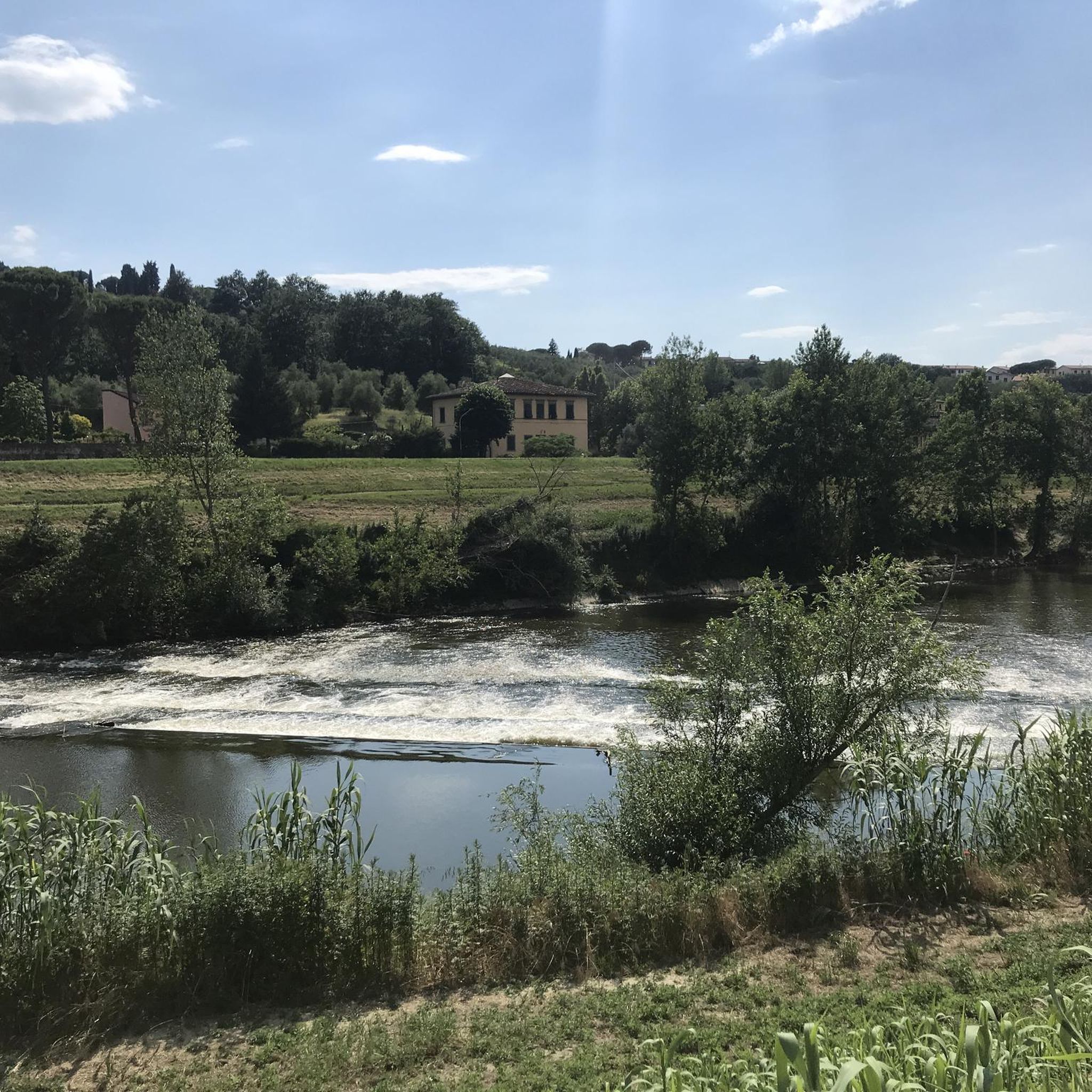
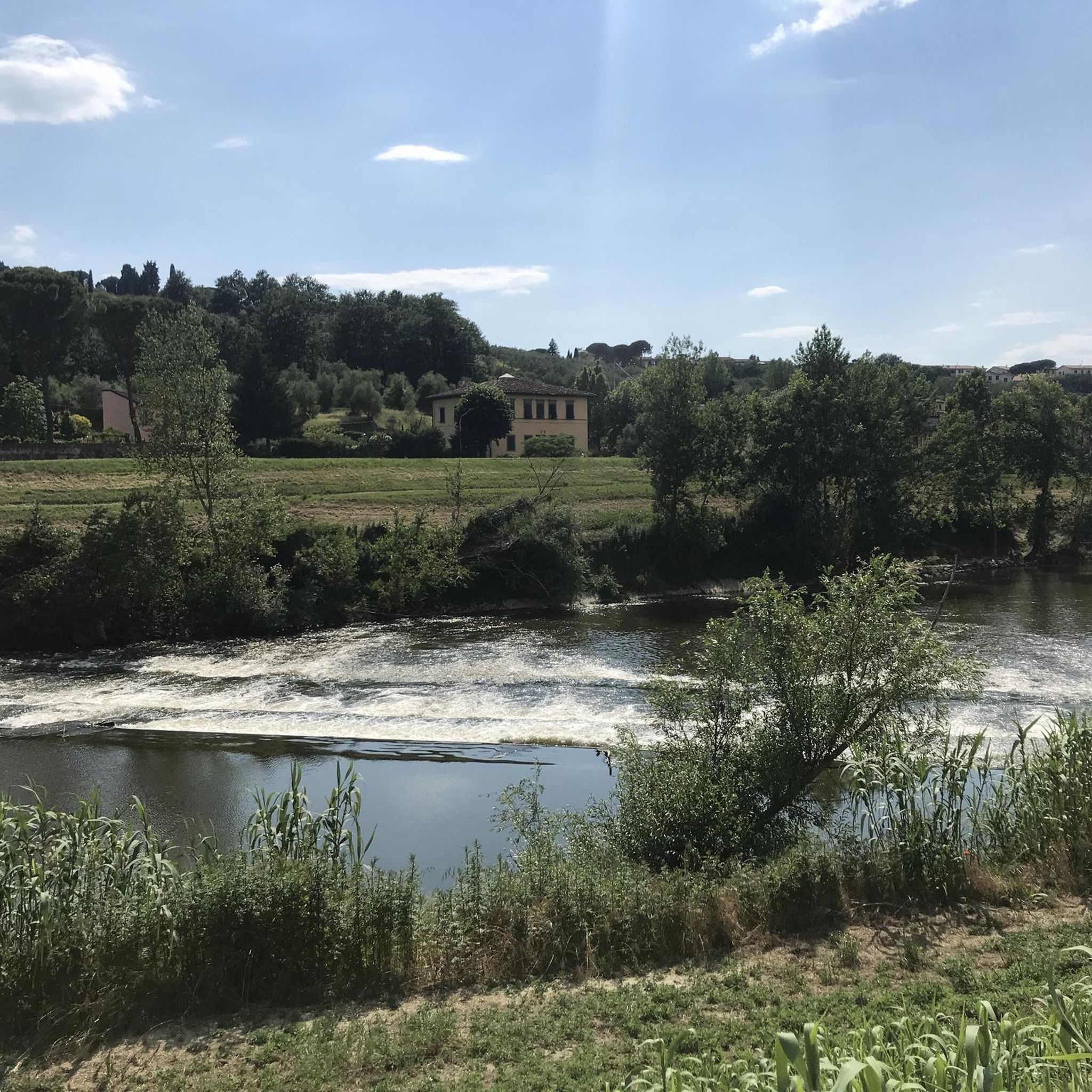
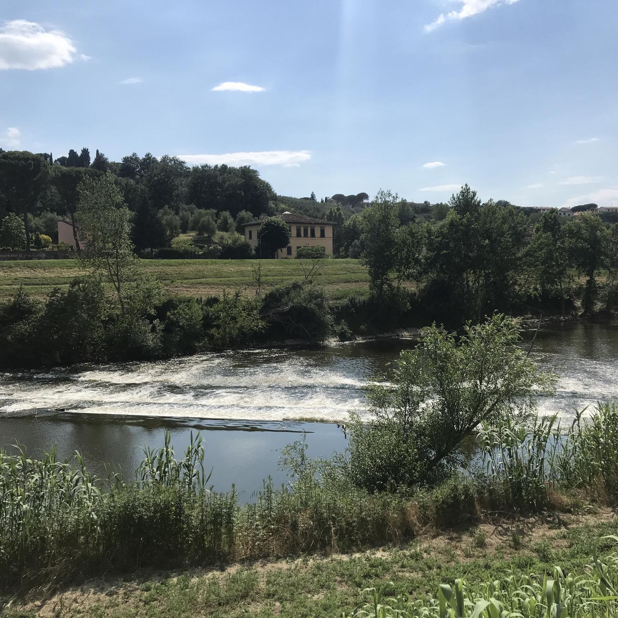
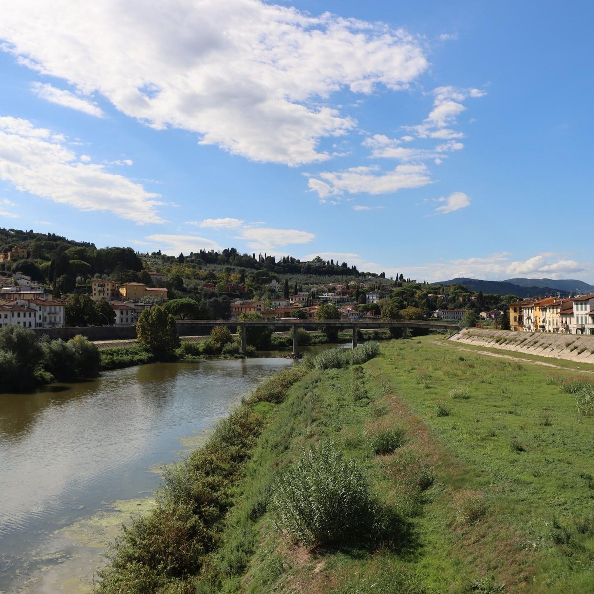

Tips from the Community

The Pinone di Carmignano is a famous hilly pass located at about 425 meters above sea level on the ridge of Montalbano, in the province of Prato. It is a fundamental naturalistic, historical, and sporting hub of central Tuscany, famous for its woods, cycling paths, and archaeological sites.
0
0
Piazza Giacomo Matteotti is the central square and the nerve center of the municipality of Montale, in the province of Pistoia. [1, 2] It represents the main meeting point for the local community, surrounded by bars, commercial activities, and historical landmarks of the town. Recently, the area has undergone a significant urban redevelopment project that has enhanced its pedestrian spaces.
0
0

An excellent detour to go to Spicchio Soviliana. Descending from Vitolini and turning left at the church of Sant'Ansano, you take Via dei Molin dei Frati and then Via di Collegonzi. A small road in the middle of greenery with little traffic and some slight ups and downs.
0
0
The Municipality of Montemurlo is located in Piazza della Repubblica 1, in the city center of the plain in the province of Prato. The Historic Tower, commonly identified with the ancient keep of the Rocca (or Castle of Montemurlo), stands instead at about 200 meters altitude on the hill above. It visually dominates the entire plain between Prato, Florence and Pistoia.
0
0

Passo Pinone from Poggio a Caiano via Via Carmignanese is a climb in the Prato region. The climb is 10.1 km long and covers 395 m of elevation gain with an average gradient of 3.9%, resulting in a difficulty score of 207. The summit of the climb is at 425 m above sea level. Want to know more? Click through to the source: https://climbfinder.com/nl/beklimmingen/passo-pinone-poggio-a-caiano
2
0
Passo Pinone from Poggio a Caiano via Via Carmignanese is a climb in the Prato region. The climb is 10.1 km long and gains 395 m in elevation with an average gradient of 3.9%, resulting in a difficulty score of 207. The top of the climb is at 425 m above sea level. Source: https://climbfinder.com/nl/beklimmingen/passo-pinone-poggio-a-caiano
3
0

In the heart of the Tuscan Chianti region, between Grassina and Strada in Chianti, in the center of a flowerbed stands the Statue of the Sower, commissioned and financed by the locals to remind us that this area is not only renowned for its winemaking, but has always been a major grain producer.
0
0

In Sant'Ansano, noteworthy is the beautiful 10th century parish church of San Giovanni Battista.
1
0
Frequently Asked Questions
How many road cycling routes are available around Signa?
There are over 40 road cycling routes around Signa, offering a variety of experiences. These include 3 easy routes, 27 moderate routes, and 12 more challenging options.
What kind of terrain can I expect on road cycling routes near Signa?
The Signa region offers diverse terrain. You'll find easy, mostly flat paths along the Arno River, as well as more challenging routes through the rolling Tuscan hills. Many routes also weave through characteristic countryside and agricultural scenery, providing scenic views.
Are there road cycling routes suitable for beginners or families in Signa?
Yes, Signa offers several easy road cycling routes, particularly along the Arno River Cycle Path. These paths are generally paved and suitable for all fitness levels, including families looking for a relaxed ride. The region has 3 routes classified as easy.
What is the best time of year for road cycling in Signa?
The Tuscan region, including Signa, generally offers pleasant cycling conditions from spring through autumn. Spring (April-May) and early autumn (September-October) are often ideal, with comfortable temperatures and beautiful landscapes. Summers can be warm, especially in July and August.
Are there challenging road cycling routes with significant climbs around Signa?
Absolutely. For cyclists seeking a challenge, routes like the Pinone Pass – Carmignano Town Center loop from San Donnino offer significant elevation gains through the Tuscan hills. There are 12 routes in the area classified as difficult, providing rewarding climbs and views.
Can I find circular road cycling routes in the Signa area?
Yes, many of the road cycling routes around Signa are designed as loops, allowing you to start and end in the same location. Examples include the Entrance to Parco dei Renai – Along the Ombrone Trail loop from San Donnino, which offers tranquil riverside views.
What natural features or landmarks can I see while road cycling near Signa?
Road cycling routes often pass by significant natural features like the Arno River and the tranquil Cascine Park, Florence. You might also encounter unique natural monuments such as the Devil’s Rock (Pietramarina), a large sandstone monolith in a holm oak forest.
Are there historical towns or cultural sites accessible by road bike from Signa?
Yes, Signa itself boasts an ancient history with its 'Castello' and historic churches. Nearby, Lastra a Signa offers intact protective walls and attractions like Villa Caruso. You can also extend rides towards Florence to visit iconic landmarks such as the Basilica di Santa Maria Novella or the Pitti Palace.
Where can I park my car when starting a road cycling route in Signa?
While specific parking areas for each route are not detailed, Signa and surrounding towns generally offer public parking. For routes along the Arno River Cycle Path, look for parking options in Signa or near access points to the path.
How can I reach road cycling routes in Signa using public transport?
Signa is well-connected by public transport, particularly from Florence. You can take a train or bus to Signa, and many routes are accessible directly from the town center or nearby areas. This allows for easy access to the cycling network without needing a car.
Are there any bike-friendly cafes or places to stop along the routes?
The Tuscan region is known for its hospitality. While specific bike-friendly cafes are not listed, you'll often find local cafes and trattorias in the towns and villages along the routes, such as Carmignano or Montespertoli, where you can stop for refreshments and a break.
What do other road cyclists enjoy most about the routes around Signa?
The road cycling routes around Signa are highly rated by the komoot community, with an average score of 4.4 stars from over 90 reviews. Cyclists often praise the diverse terrain, from serene riverside paths to challenging hill climbs, and the beautiful Tuscan countryside views.
Can I explore vineyards or agricultural landscapes on these routes?
Yes, many routes around Signa, especially those venturing into the broader Tuscan countryside, will take you through picturesque agricultural scenery, including vineyards and olive groves. The The Sower Statue – Chianti Hills loop from San Donnino, for example, offers views of the Chianti region.
Most popular attractions around Signa

Get inspired with the komoot mobile app


Explore more
Browse the best Road cycling routes in other regions.
