The best walks and hikes around Bagolino
4.3
(874)
5,135
hikers
126
hikes
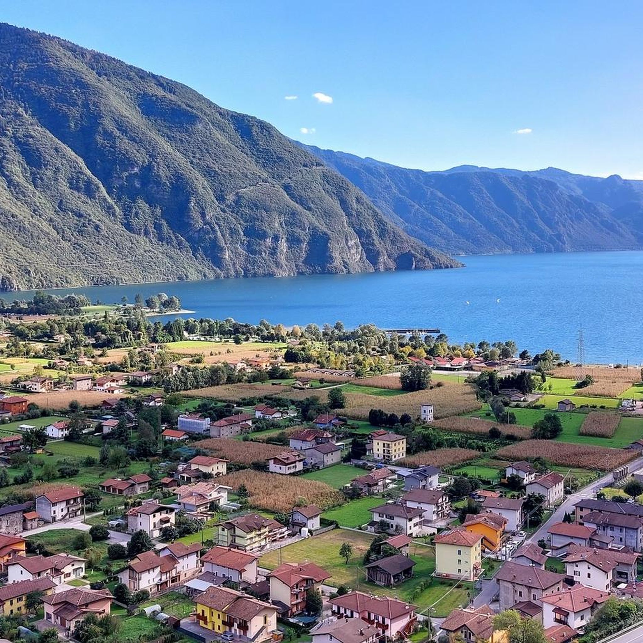
Hiking around Bagolino offers access to a mountainous landscape within the Caffaro Valley, a tributary of the Sabbia Valley. The region features proximity to Lake Idro, Mount Maniva, and the Gaver Plain, providing diverse terrain for outdoor activities. It serves as a gateway to the Adamello Nature Park, encompassing 51,000 hectares of the Lombard side of the Adamello group. Notable natural features include Valle Dorizzo, leading to the Mignolo Lakes, and the Dasdana Waterfalls.
Best hiking trails around Bagolino
- The…
Last updated: September 26, 2026
4.4
(58)
186
hikers
10.0km
03:15
440m
440m
Embark on the Dasdana Waterfalls Loop, a moderate hike that guides you through lush landscapes and past intriguing rock formations. This route covers 6.2 miles (10.0 km) and involves a…
4.6
(19)
78
hikers
7.96km
02:58
390m
390m
Embark on the Passo Dasdana and Monte Colombine Loop, a moderate hike spanning 4.9 miles (8.0 km) with an elevation gain of 1275 feet (389 metres). You can expect to…

4.2
(18)
82
hikers
12.9km
05:20
880m
880m
The Valle Dorizzo to Laghi di Mignolo Loop offers a challenging alpine hike, covering 8.0 miles (12.9 km) with a substantial 2894 feet (882 metres) of elevation gain. You will…
4.2
(19)
80
hikers
14.3km
05:51
990m
990m
Hard hike. Very good fitness required. Mostly accessible paths. Sure-footedness required.
4.8
(12)
80
hikers
15.3km
07:04
1,140m
1,140m
The Sentiero di Passo Boia trail offers a challenging hike through Lombardy's high-altitude landscapes. You'll navigate rocky paths and alpine surfaces, experiencing a dramatic shift from the wide, rolling meadows…
Get access to more routes and recommendations from other explorers.
Already have an account?
Our route recommendations are based on thousands of hikes, rides, and runs completed by other people on komoot.
Start today with a free account
Your next adventure awaits.
Popular around Bagolino

L1 from Garmisch to Brescia – Far from the classic Alpine crossings
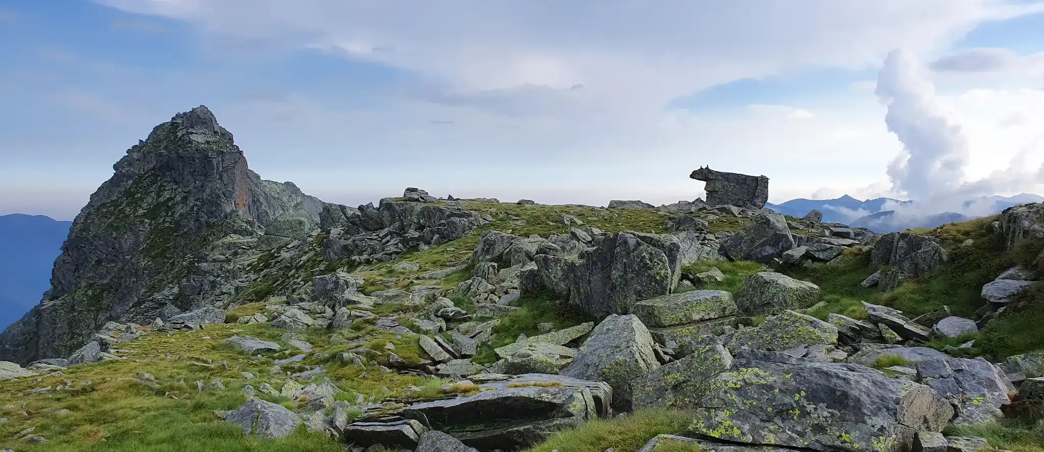
Exploring Italy’s Val Sabbia – at the foot of Cornone di Blumone
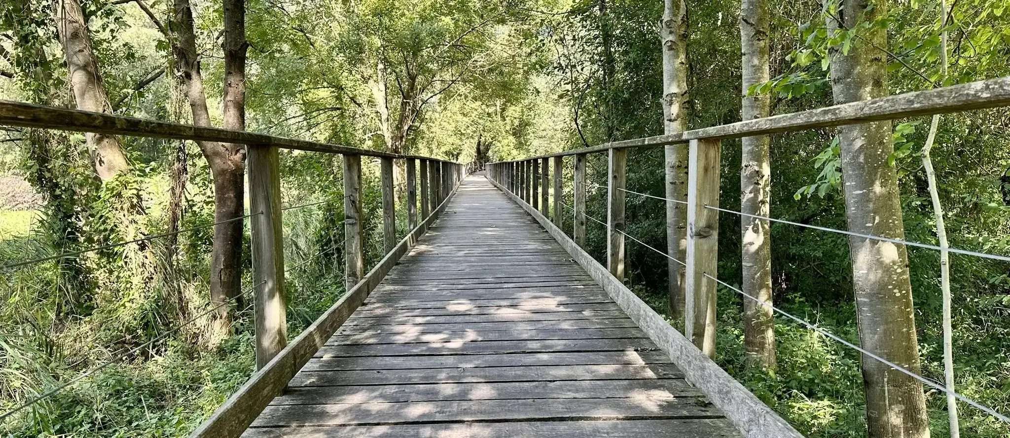
Anello Valsabbino - Trekking between the villages of Val Sabbia
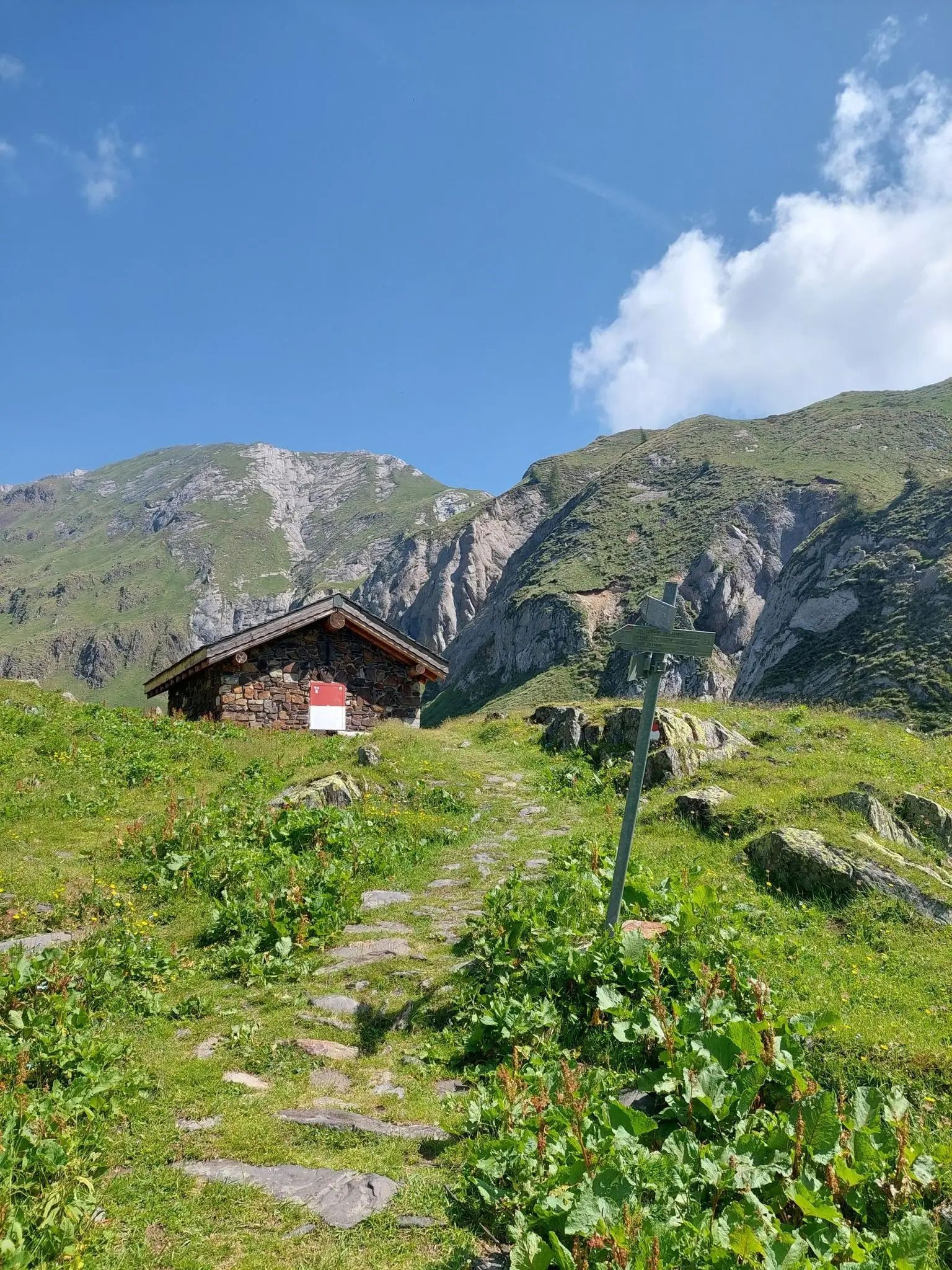
Along the ancient Italian-Austrian border – Alta Via del Caffaro
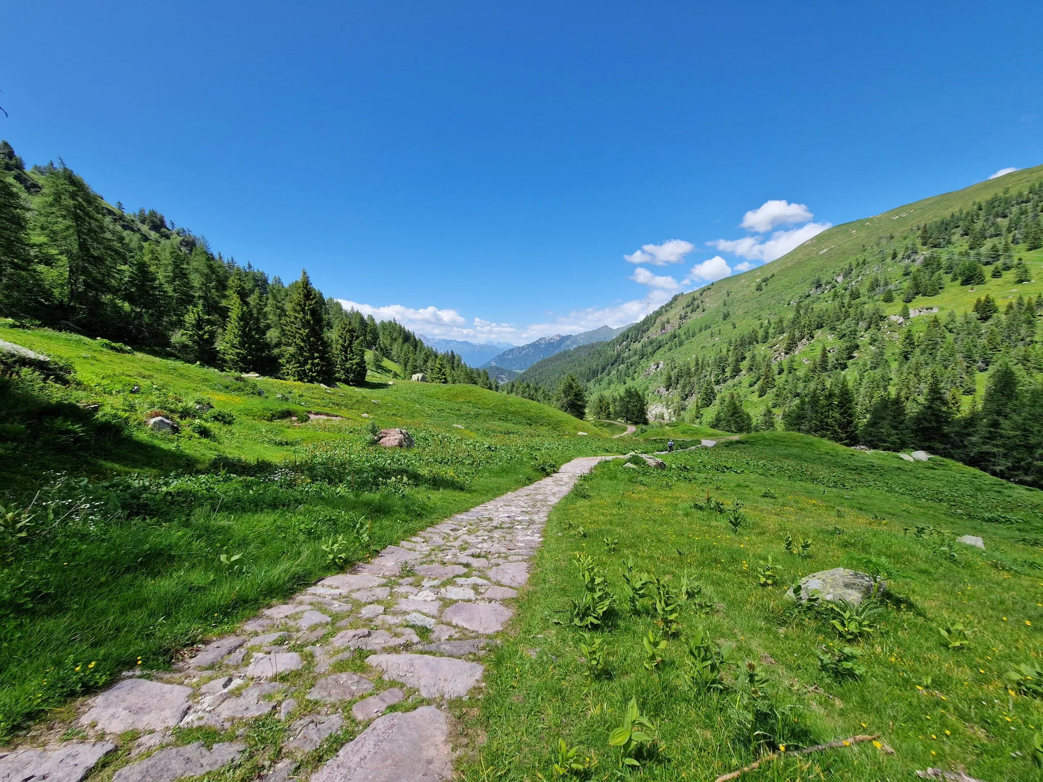
Adventure in Val Camonica – CamminaForeste in Lombardia part 3
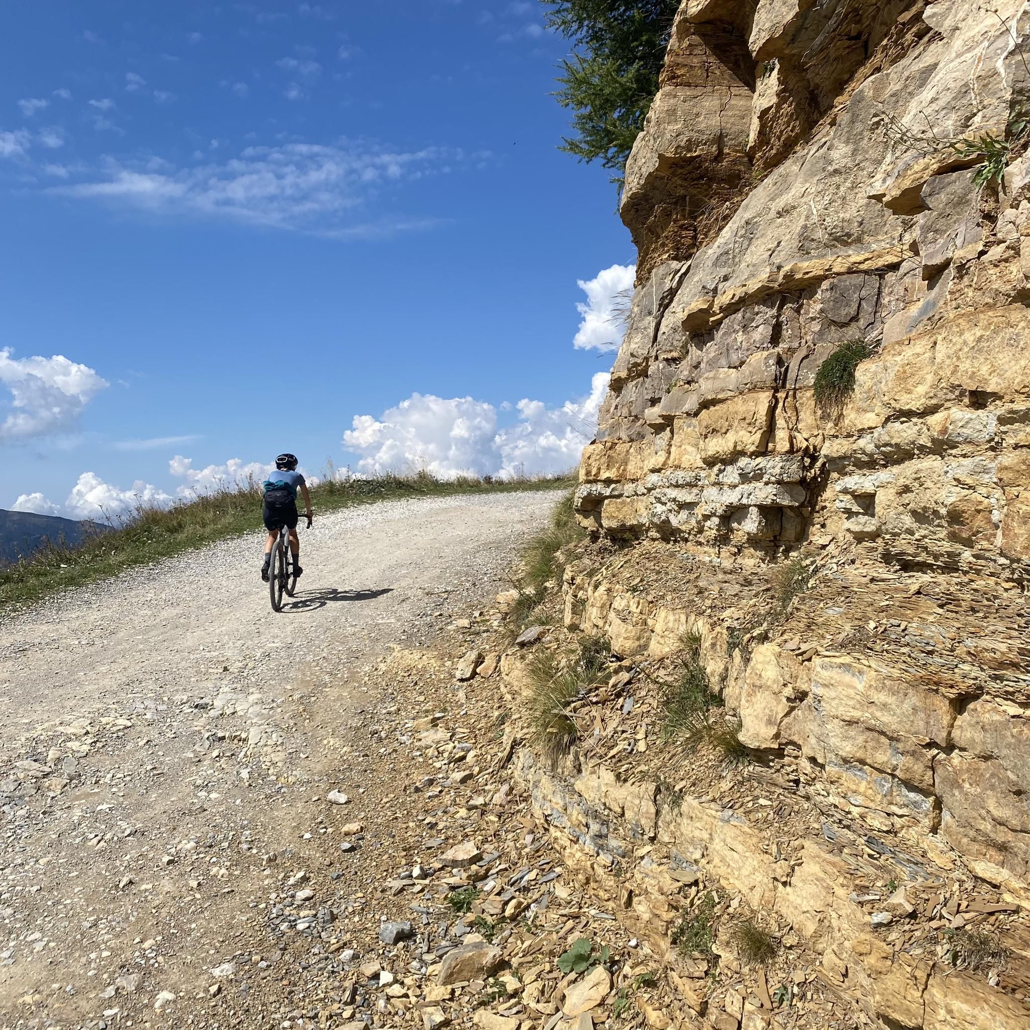
Gravel riding between Italy’s Valle Sabbia and Val Trompia
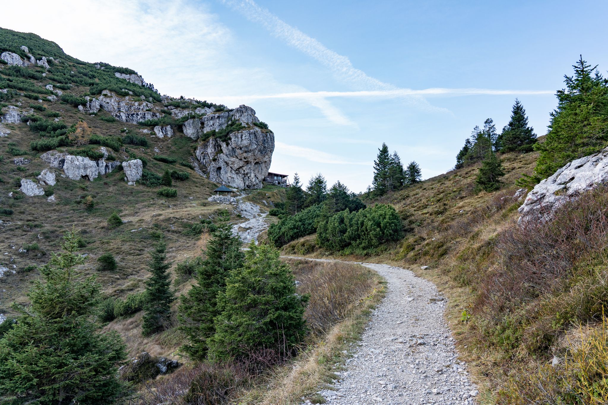
A MTB ring in the Brescia Prealps - the Crinale Path
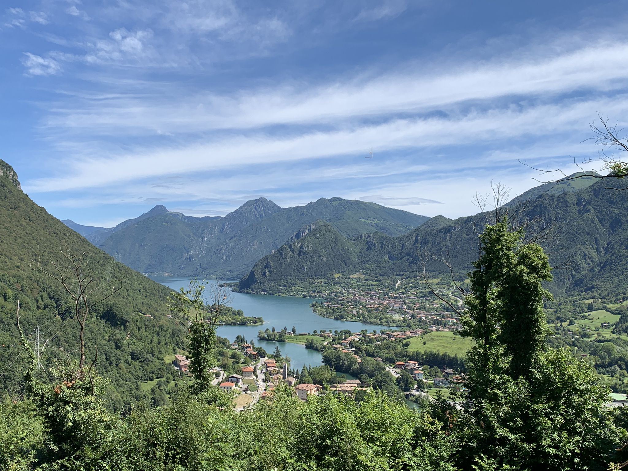
Discover the wonders of Italy’s Valle Sabbia from your mountain bike
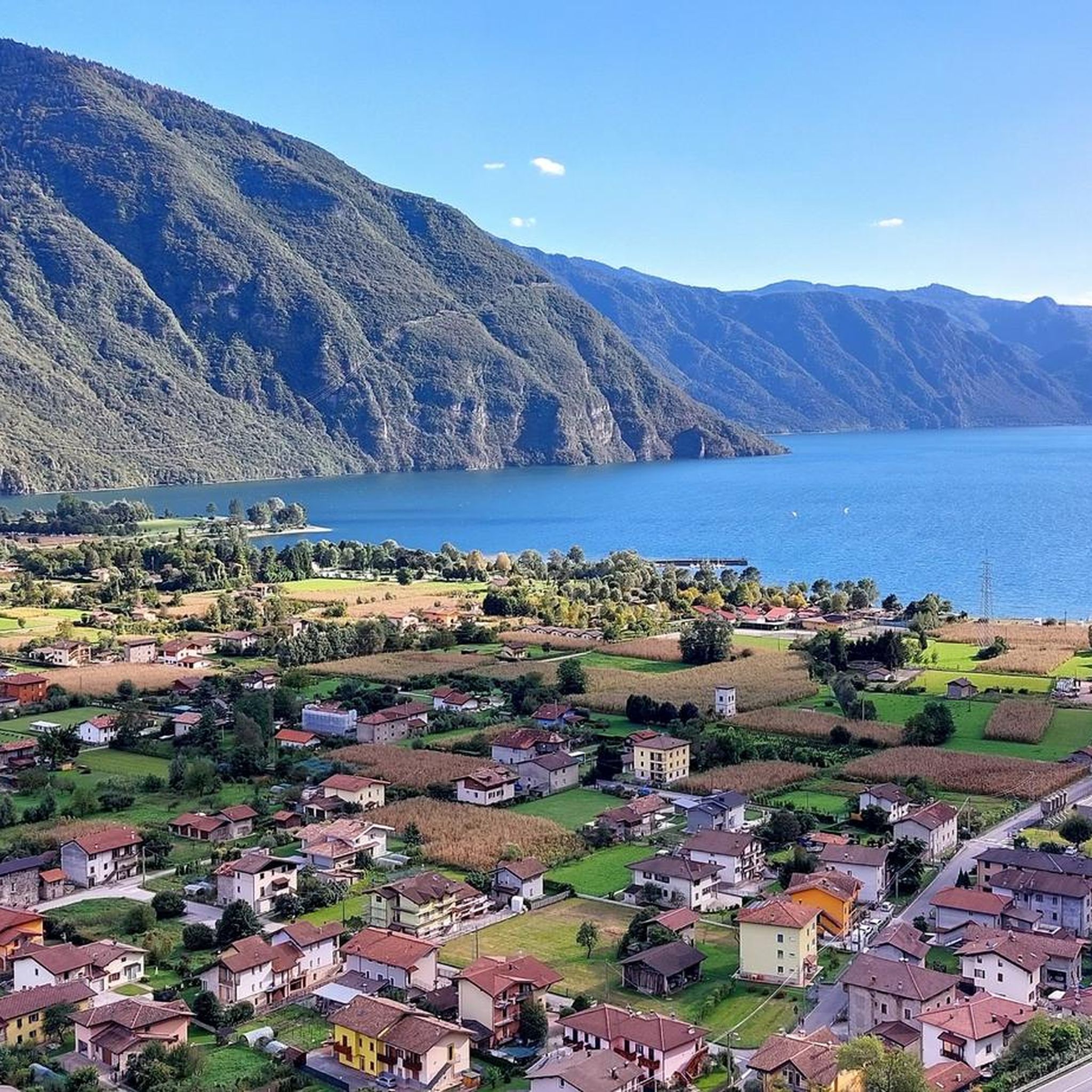
Cycling around Bagolino
MTB Trails around Bagolino


Tips from the Community

beautiful hike: it would be appropriate to upgrade it, because the path from Laghetto Mignolo Alto to Passo del Gatto and Malga Bromino is impassable and poorly marked.
0
0

The name is wrong, the Scalve Valley is somewhere else!
1
0
Easily accessible, beautiful, refreshing...
0
0
In reality it is the second one (the first is 10 metres further upstream) and immediately after there is the third one (a little further downstream).
0
0

Lake Mignolo Basso is a small lake in Val Sabbia, located at 1,856 meters above sea level, not far from the higher lake of Mignolo Alto. From these lakes you can enjoy spectacular panoramic views of the valley below and they are ideal places to relax, have a picnic or take a walk along their banks.
1
0
Lake Mignolo Alto is a splendid body of water located at 1,990 meters above sea level in Val Sabbia, immersed in a breathtaking natural setting, surrounded by mountains and woods.
2
0

beautiful route with an excellent panorama
0
0
The Rondenino hut is located in an ideal place to take a break, admire the beautiful view of the surrounding peaks and cool off near a small waterfall.
2
0
Frequently Asked Questions
Are there easy hiking trails suitable for beginners or families in Bagolino?
Yes, Bagolino offers a variety of trails for all abilities. There are over 20 easy routes available, perfect for those seeking a gentle stroll or a family outing. The region's diverse landscape ensures there are options that don't require extensive hiking experience.
Can I find challenging hikes for experienced trekkers in Bagolino?
Absolutely. For experienced hikers, Bagolino provides over 50 difficult routes. Trails like the Valle Dorizzo to Laghi di Mignolo Loop, an 8-mile (12.9 km) route, or the Sentiero di Passo Boia trail through Piana del Bruffione, a 9.5-mile (15.3 km) trek, offer significant elevation gain and rugged terrain, leading to expansive views and glacial lakes.
Are there any hikes in Bagolino that feature waterfalls?
Yes, the region is known for its beautiful waterfalls. The Dasdana Waterfalls Loop is a popular moderate 6.2-mile (10 km) route specifically designed to showcase the stunning Dasdana Waterfalls.
Which trails offer the best panoramic views around Bagolino?
Many trails in Bagolino provide breathtaking panoramic views due to its mountainous terrain. The Passo Dasdana and Monte Colombine Loop is a moderate 4.9-mile (8 km) path specifically noted for its scenic vistas and varied terrain. The higher elevation routes within the Adamello Nature Park also offer expansive alpine scenery.
Are there circular hiking routes available in Bagolino?
Yes, many of the hiking routes around Bagolino are designed as loops, allowing you to start and end at the same point. Examples include the Dasdana Waterfalls Loop and the Passo Dasdana and Monte Colombine Loop.
What natural attractions can I explore while hiking in Bagolino?
Beyond the trails themselves, Bagolino offers access to several natural highlights. You can explore the picturesque Valle Dorizzo, which leads to the Mignolo Lakes, or visit the stunning Dasdana Waterfalls. The region is also a gateway to the expansive Adamello Nature Park. For specific natural monuments, consider visiting Passo Crocedomini or Pass of the Seven Crosses.
What do other hikers enjoy most about the trails in Bagolino?
The hiking trails in Bagolino are highly rated by the komoot community, with an average score of 4.4 stars from over 700 reviews. Hikers frequently praise the diverse terrain, from mountainous landscapes to glacial lakes and dense forests, as well as the well-maintained paths and the stunning natural features like the Dasdana Waterfalls.
Are the hiking trails in Bagolino dog-friendly?
Generally, dogs are welcome on most hiking trails in the Bagolino region, especially within the natural park areas, provided they are kept under control, ideally on a leash, and owners clean up after them. It's always advisable to check specific trail regulations if you plan to visit protected areas.
What is the best time of year to go hiking in Bagolino?
The best time for hiking in Bagolino is typically from late spring through early autumn (May to October), when the weather is mild and trails are clear of snow. Summer offers lush greenery and warmer temperatures, while autumn brings vibrant foliage. Some lower elevation trails may be accessible in winter for snowshoeing, but higher alpine routes require specialized gear and experience.
How long do hikes around Bagolino typically take?
Hiking durations in Bagolino vary significantly depending on the trail's length and difficulty. Moderate routes like the Dasdana Waterfalls Loop can take around 3 hours 15 minutes, while more challenging treks such as the Valle Dorizzo to Laghi di Mignolo Loop might require about 5 hours 20 minutes or more.
Are there any historical landmarks or huts along the hiking routes?
Yes, some routes pass by or lead to interesting landmarks and mountain huts. For example, you might encounter Monte Stino Hut or Fort Cima Ora, which offer both historical context and potential resting points. Other huts like Tita Secchi Hut and Bivacco Blumone are also accessible in the surrounding peaks.
Most popular routes around Bagolino
Most popular attractions around Bagolino

Get inspired with the komoot mobile app


Explore more
Browse the best Hikes in other regions.
