The best walks and hikes around Taino
4.2
(2717)
11,232
hikers
20
hikes
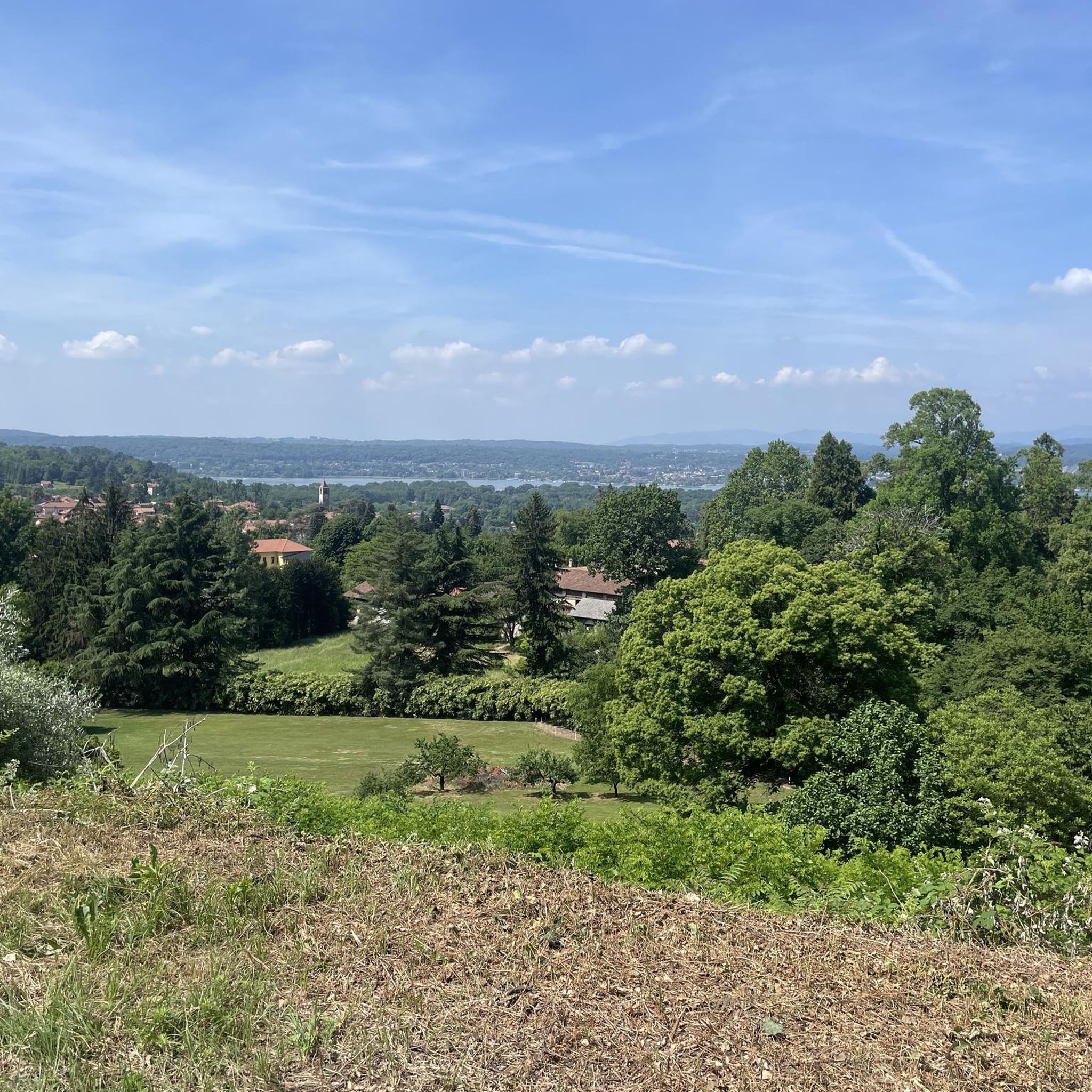
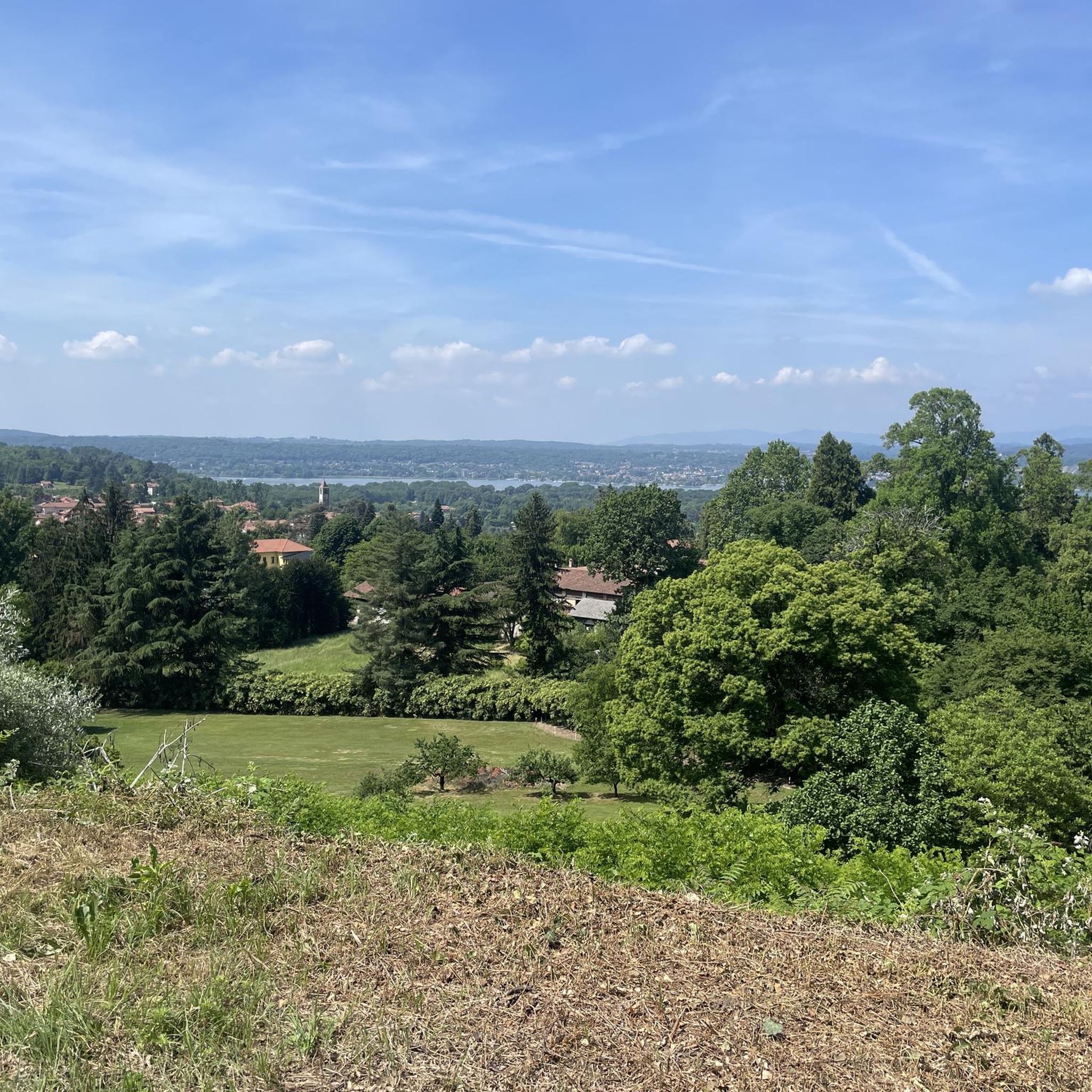
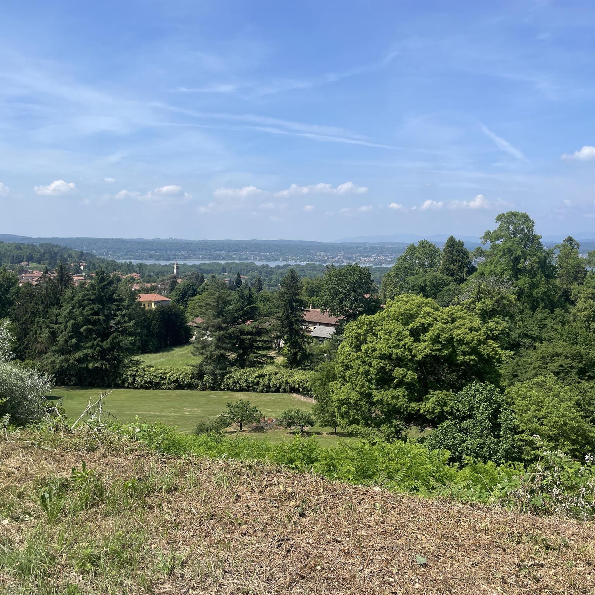
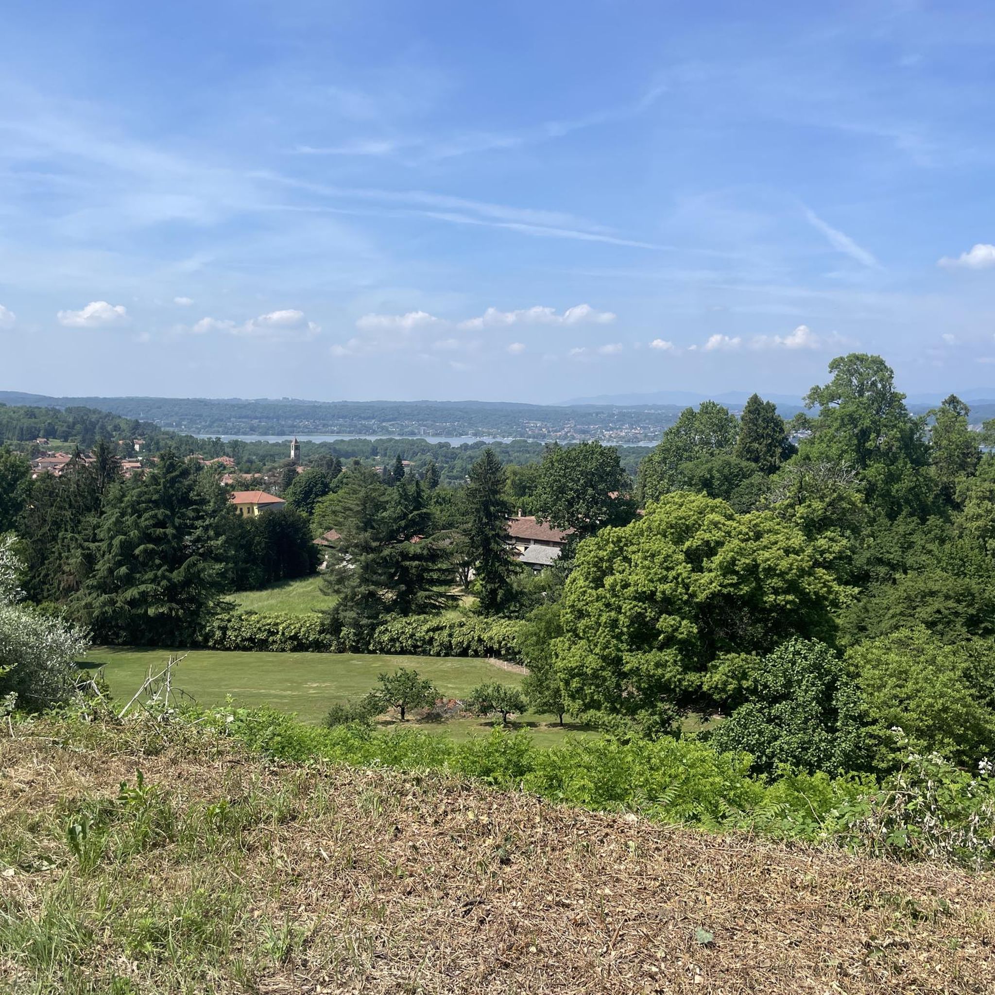
Hiking around Taino offers diverse landscapes near Lago Maggiore, characterized by rolling hills and forested paths. The area provides scenic views, including glimpses of the Monte Rosa Range. Trails often feature natural rock formations and lead through tranquil woodlands, making it a suitable destination for various hiking experiences.
Best hiking trails around Taino
- The most popular hiking route is Preja Buia Erratic Boulder – Sass da Preja Buia loop from Taino, a 10.1 miles (16.3 km) trail that takes…
Last updated: September 28, 2026
4.5
(6)
9
hikers
16.3km
04:24
210m
210m
Moderate hike. Good fitness required. Easily-accessible paths. Suitable for all skill levels.
4.0
(2)
13
hikers
9.34km
02:31
120m
120m
Moderate hike. Good fitness required. Easily-accessible paths. Suitable for all skill levels.

6
hikers
5.92km
01:42
140m
140m
Easy hike. Great for any fitness level. Easily-accessible paths. Suitable for all skill levels.
5.0
(1)
6
hikers
5.42km
01:32
120m
120m
Easy hike. Great for any fitness level. Easily-accessible paths. Suitable for all skill levels.
5.0
(1)
8
hikers
Easy hike. Great for any fitness level. Easily-accessible paths. Suitable for all skill levels.
Get access to more routes and recommendations from other explorers.
Already have an account?
Our route recommendations are based on thousands of hikes, rides, and runs completed by other people on komoot.
Start today with a free account
Your next adventure awaits.

Tips from the Community


I suggest arriving with some information on "erratic boulders" like this to fully enjoy their nature and rarity.
1
0

The gigantic erratic boulder of Preja Buia bears some writings that are thought to be symbolic petroglyphs. These suggest that it was a sacrificial altar from prehistoric times. Next to the large boulder there are two other smaller ones, also probably dating back to the same era.
3
0

Located between Angera and Sesto Calende, Taino stands out for its rich history that spans the Bronze Age and Roman traces. Its breathtaking panorama extends from Lake Maggiore to Monte Rosa. In the heart of the village are the church of Santo Stefano and the oratory of San Giovanni Battista.
0
0
Located between Angera and Sesto Calende, Taino stands out for its rich history that spans the Bronze Age and Roman traces. Its breathtaking panorama extends from Lake Maggiore to Monte Rosa. In the heart of the village are the church of Santo Stefano and the oratory of San Giovanni Battista, enriched with priceless works of art. The municipal park, with its works such as "The Cardinal Points", underlines the lively tourist culture of the town.
1
0

Serpentine erratic boulder "Preja Buia"
1
0

Via Genova a Taino was recently renamed 'Tainenberg'. This name is intended to recall the famous walls of the Tour of Flanders. Indeed, the Tainenberg is only 180 meters long, but has a cobbled surface and boasts slopes of up to 16%.
0
0
Frequently Asked Questions
How many hiking trails are available around Taino?
There are over 20 hiking routes around Taino, offering a variety of experiences. Most of these, about 15, are considered easy, while the remaining 8 are moderate, ensuring options for different fitness levels.
Are there any easy, family-friendly hikes in Taino?
Yes, Taino offers many easy trails suitable for families. For instance, the View of the Monte Rosa Range loop from Taino is an easy 3.4-mile (5.4 km) trail that takes about 1 hour 32 minutes, providing scenic views without significant challenge. Another good option is the Tainenberg, the wall of Taino – View of the Monte Rosa Range loop from Taino, which is 3.2 miles (5.1 km) and also easy.
What kind of views can I expect on hikes around Taino?
Hiking around Taino offers diverse scenery, including tranquil woodlands and rolling hills. Many routes provide scenic views, notably glimpses of the majestic Monte Rosa Range. You can experience these views on trails like the View of the Monte Rosa Range loop from Taino.
Are there any circular walks available in Taino?
Yes, many of the hiking routes around Taino are circular, allowing you to start and end at the same point. Popular circular options include the Preja Buia Erratic Boulder – Sass da Preja Buia loop from Taino, the Large Flat Rock loop from Taino, and the Junction loop from Taino.
What do other hikers enjoy most about Taino's trails?
The trails in Taino are highly rated by the komoot community, with an average score of 4.2 stars from over 2,300 reviews. Hikers often praise the varied terrain, the tranquil forested paths, and the scenic views, especially those of the Monte Rosa Range.
Are there any interesting natural landmarks or attractions to see while hiking?
Yes, Taino's trails feature natural rock formations and are close to several natural monuments. You can explore the impressive Sass da Preja Buia, a significant erratic boulder, which is part of the Preja Buia Erratic Boulder – Sass da Preja Buia loop from Taino. Other nearby natural highlights include Lake Comabbio and the Lagoni di Mercurago Nature Park.
What is the typical duration for hikes in Taino?
Hike durations in Taino vary depending on the route. Easy trails, like the View of the Monte Rosa Range loop from Taino, can be completed in about 1.5 hours. Moderate routes, such as the Large Flat Rock loop from Taino, typically take around 2 hours 20 minutes, while longer moderate trails like the Preja Buia Erratic Boulder – Sass da Preja Buia loop from Taino can take over 4 hours.
Are there any trails that lead to significant rock formations?
Yes, the area is known for its natural rock formations. The Preja Buia Erratic Boulder – Sass da Preja Buia loop from Taino is a prominent route that features the significant Sass da Preja Buia, an impressive erratic boulder.
What is the difficulty level of hiking trails in Taino?
Taino offers a good mix of difficulty levels. Out of the over 20 available routes, 15 are classified as easy, making them suitable for casual walkers and families. The remaining 8 routes are moderate, providing a bit more challenge for experienced hikers.
Can I find trails that go through dense woodlands?
Absolutely. Many of Taino's trails wind through tranquil woodlands, offering a refreshing and shaded hiking experience. The Large Flat Rock loop from Taino is a great example, leading you through lush forested areas.
Are there any trails that offer views of Lago Maggiore?
While the guide focuses on trails directly around Taino, which primarily offer views of the Monte Rosa Range and local landscapes, Taino's proximity to Lago Maggiore means that some routes or nearby viewpoints might offer glimpses of the lake. The region's character is defined by its location near the lake, influencing the overall natural beauty.
Most popular attractions around Taino

Get inspired with the komoot mobile app


Explore more
Browse the best Hikes in other regions.
