The best gravel rides around Taino
4.2
(102)
664
riders
43
rides
Gravel biking around Taino offers a diverse network of routes, primarily situated near Lake Maggiore. The terrain features a mix of lakeside paths, riverine sections, and undulating landscapes with moderate elevation changes. These routes often traverse agricultural areas and natural reserves, providing varied surfaces for gravel cyclists. The region's geography supports both longer endurance rides and shorter, more accessible paths.
Best gravel bike trails around Taino
- The most popular gravel bike trail is From castle to hermitage, a 32.6…
Last updated: October 6, 2026
4.5
(2)
7
riders
22.0km
02:06
120m
120m
Hard gravel ride. Good fitness required. You may need to push your bike for some segments of this route.
4.9
(19)
122
riders
63.2km
03:58
290m
290m
Moderate gravel ride. Good fitness required. Mostly paved surfaces. Suitable for all skill levels.

2.8
(6)
27
riders
44.2km
02:45
430m
430m
Hard gravel ride. Good fitness required. You may need to push your bike for some segments of this route.
4.5
(8)
52
riders
51.9km
03:03
330m
330m
Moderate gravel ride. Good fitness required. Mostly paved surfaces. Suitable for all skill levels.
4.7
(7)
39
riders
50.9km
03:07
480m
480m
Hard gravel ride. Very good fitness required. You may need to push your bike for some segments of this route.
Get access to more routes and recommendations from other explorers.
Already have an account?
Our route recommendations are based on thousands of hikes, rides, and runs completed by other people on komoot.
Start today with a free account
Your next adventure awaits.
Tips from the Community

The Sesto Calende riverside walk winds along the banks of the Ticino river at the exact point where the waters of Lake Maggiore leave the basin to continue their course.
0
0
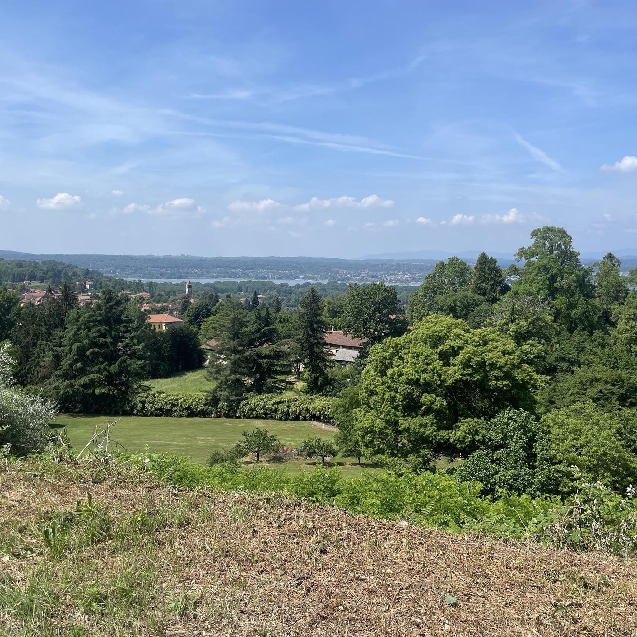
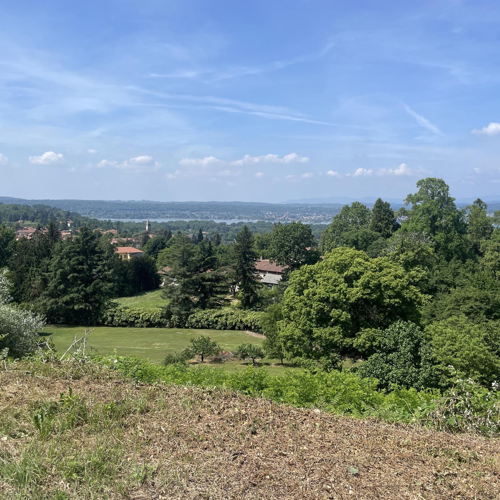
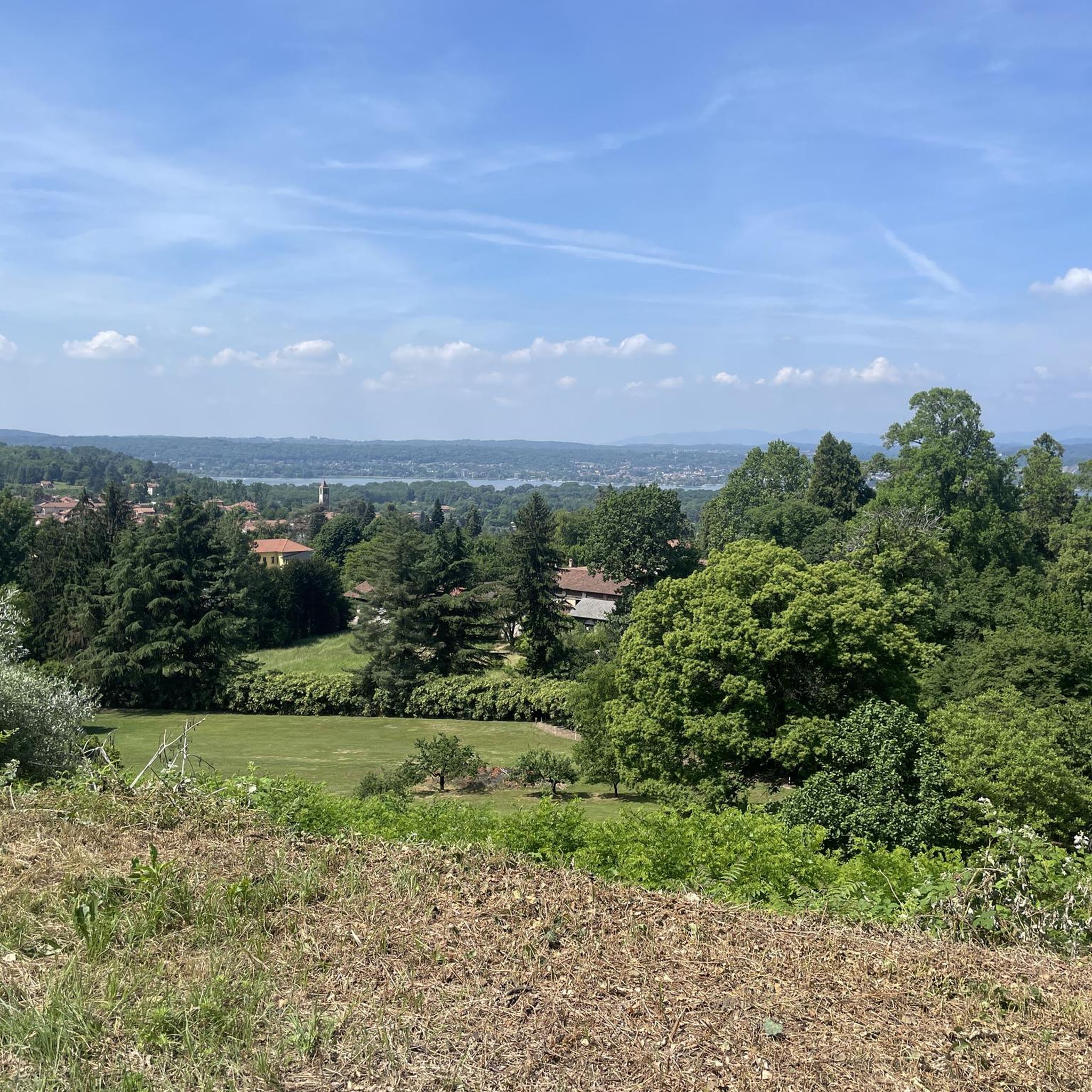
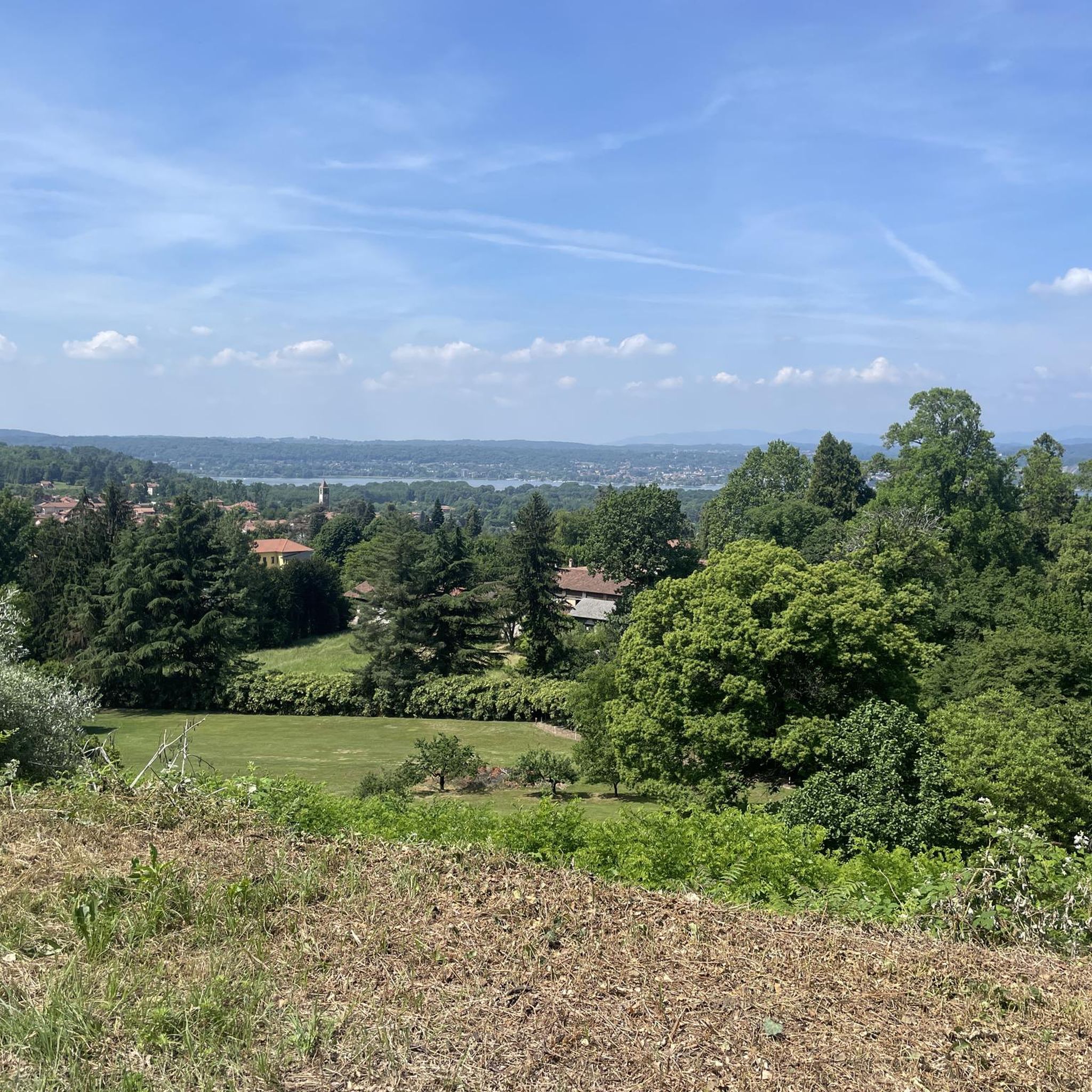
The Ticino river cycle path offers one of the most evocative panoramic points to admire Sesto Calende, the river waters, and the majestic Monte Rosa chain in the background
0
0
The Villoresi Canal begins at the Panperduto Dam, a historic and imposing hydraulic junction located in the municipality of Somma Lombardo (VA), where the canal draws its waters from the Ticino river.
1
0
The unique name "Panperduto" derives mainly from the local dialect and ancient stories related to river navigation before the construction of the dam. In the past, commercial barges carrying goods or stones often collided with the rapids and rocky riverbeds of this stretch of the river, ending up capsizing and losing their entire cargo. This meant the loss of the entire day's work and the earnings needed to buy food, hence the saying "we lost the bread" (hence Panperduto).
0
0
La Diga del Panperduto (or rather, the Dighe del Panperduto) is one of Lombardy's most important and fascinating hydraulic junctions, located on the Ticino river in the municipality of Somma Lombardo, in the province of Varese. This monumental complex of hydraulic engineering dates back to the late 19th century (inaugurated in 1884) and mainly serves to divert the waters of the Ticino to feed two fundamental artificial canals: Villoresi Canal: used for irrigation purposes, guaranteeing water for over 100,000 hectares of agricultural land in the Po Valley. Industrial Canal: fundamental for the production of hydroelectric energy through various power plants in the area.
0
0

What a fantastic atmosphere! Stop and admire the view!
1
0
the view is always fascinating!
2
0
Stop for a few minutes to enjoy the view...truly relaxing!
0
0
Frequently Asked Questions
How many gravel bike trails are available around Taino?
There are over 70 gravel bike trails around Taino, offering a wide range of options for different skill levels. You'll find routes primarily situated near Lake Maggiore, traversing lakeside paths, riverine sections, and undulating landscapes.
What is the overall difficulty level of gravel biking routes in Taino?
The gravel biking routes in Taino cater to various abilities. While there are 5 easy routes, the majority are moderate (35 routes) or difficult (31 routes), providing challenging options for experienced riders. The terrain often includes significant elevation changes, especially on longer tours.
What kind of terrain can I expect on gravel bike trails near Taino?
Gravel biking around Taino features a diverse mix of terrain. You can expect lakeside paths, riverine sections, and rolling hills. Routes often traverse agricultural areas and natural reserves, providing varied surfaces suitable for gravel cyclists. The region's geography supports both longer endurance rides and shorter, more accessible paths.
Are there any circular gravel bike routes around Taino?
Yes, several routes are designed as loops. For example, the Panperduto Dam – Start of the Villoresi Canal loop from Sesto Calende is a 49-mile trail that takes you through riverine landscapes. Another option is the Panperduto Dam – Panperduto Dam loop from Taino Angera, a moderate 31.5-mile route.
What natural landmarks or viewpoints can I see while gravel biking near Taino?
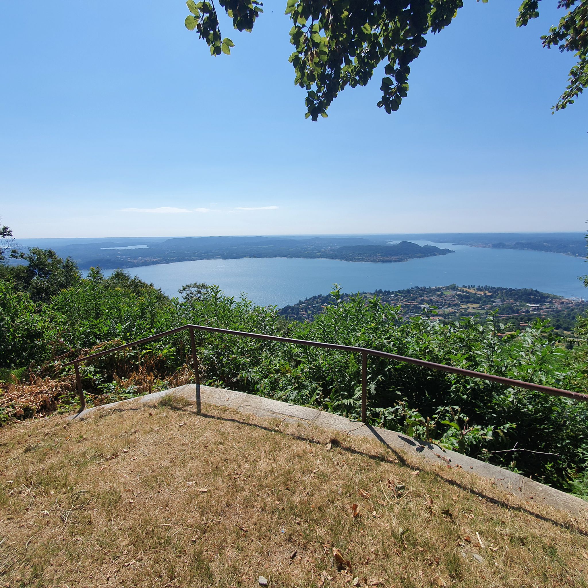
While gravel biking near Taino, you can encounter several scenic viewpoints and natural features. Highlights include the View of Lake Maggiore from Sasso Pizzo and the View of the Rocca d'Angera and Lake Maggiore from San Quirico. These offer stunning panoramic vistas of the lake and surrounding landscape.
Are there any specific points of interest or historical sites along the gravel routes?
Many routes pass by interesting points, such as the Panperduto Dam, which is a notable landmark in the riverine landscapes. You might also encounter the Summit Cross on some of the higher elevation routes, offering a blend of natural beauty and man-made monuments.
What do other gravel bikers say about the trails in Taino?
The gravel biking routes in Taino are highly rated by the komoot community, with an average score of 4.6 stars from over 100 reviews. More than 800 gravel bikers have used komoot to explore Taino's varied terrain, often praising the diverse landscapes and well-maintained paths.
Are there any family-friendly gravel biking options in Taino?
While many routes are challenging, the Lake Maggiore Family Tour offers scenic views along Lake Maggiore. Although listed as 'difficult' due to its length or elevation, it provides a dedicated experience for those looking to ride with family, offering a shorter yet demanding ride.
What are some longer, more challenging gravel routes for experienced riders?
For experienced riders seeking a challenge, the From castle to hermitage trail is a 32.6-mile (52.4 km) route with significant elevation gain, typically taking over 5 hours to complete. Another demanding option is the Panperduto Dam – Start of the Villoresi Canal loop from Sesto Calende, which is 49 miles long.
Can I find routes that combine lakeside views with other landscapes?
Absolutely. Many routes in Taino offer a combination of stunning lakeside views and other diverse landscapes. For instance, the Lakeside Promenade of Ispra – Bastion of Quassa loop from Taino Angera is a 28.7-mile route that takes you along the lake and through varied terrain, including rolling hills.
Most popular attractions around Taino

Get inspired with the komoot mobile app


Explore more
Browse the best Gravel rides in other regions.
