The best walks and hikes around Kaltenberg
4.6
(1330)
7,359
hikers
312
hikes
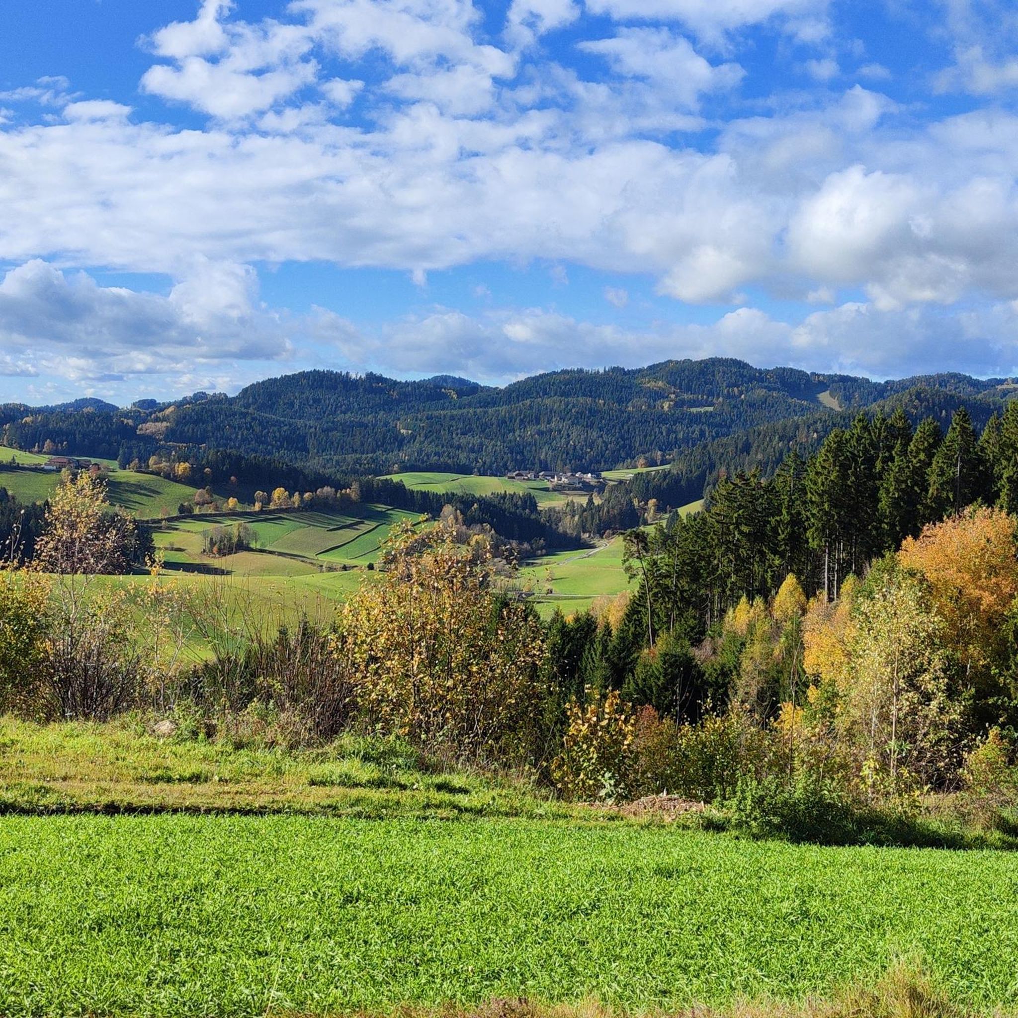
Hiking around Kaltenberg offers a diverse landscape characterized by densely wooded areas and rolling hills. The region features a network of trails that traverse forests and provide views of the surrounding countryside. Hikers can explore paths ranging from gentle walks to routes with significant elevation gains. Historic landmarks, such as Kaltenberg Castle, are often integrated into the hiking routes.
Best hiking trails around Kaltenberg
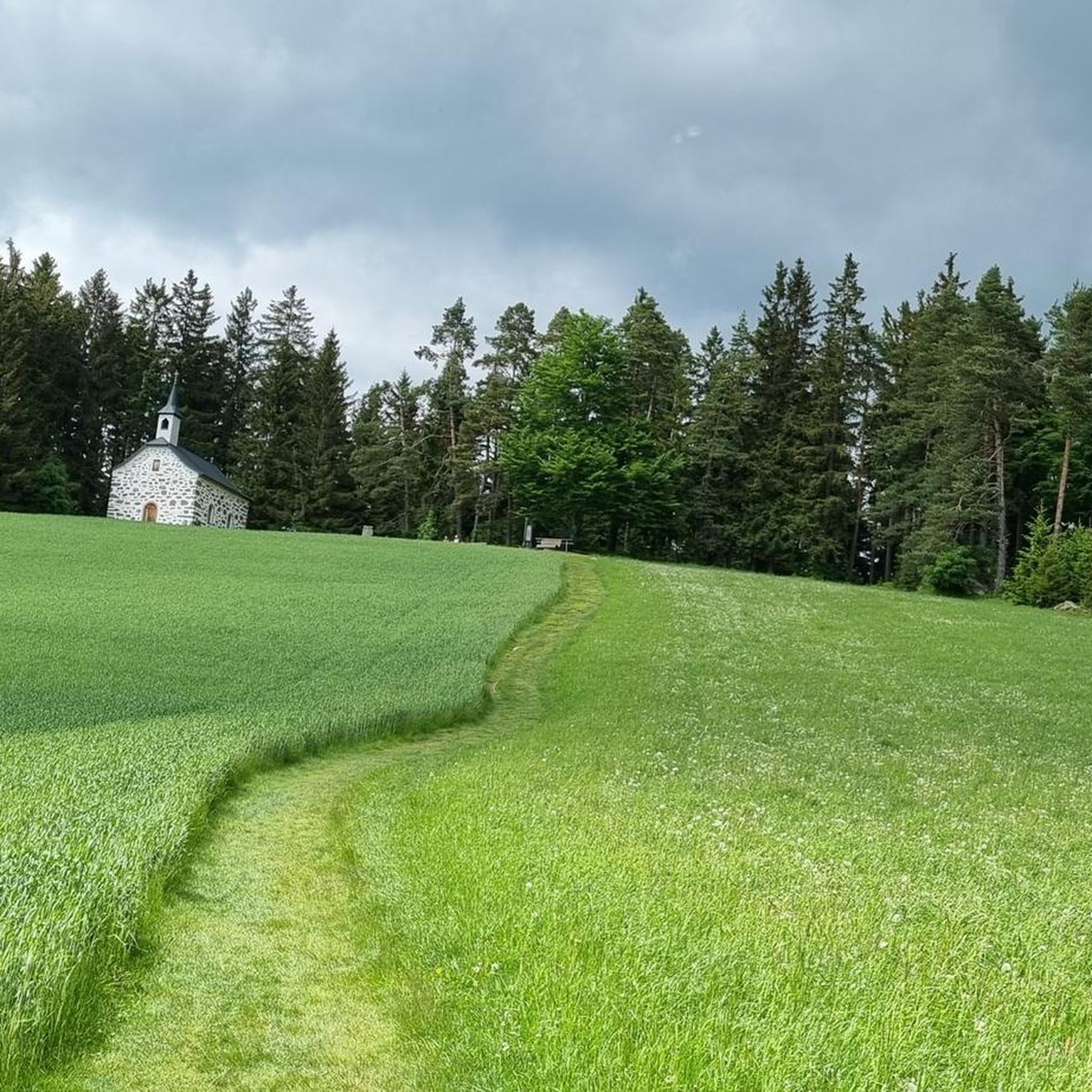
- The most popular hiking route is Mountain Chapel “Kammerer Cross” – Ursprung Chapel loop from Kaltenberg, an 11.0 miles (17.7 km) difficult trail that takes 5 hours 11 minutes to complete. This route traverses wooded areas and offers views of the surrounding countryside.
- Another top favourite among local hikers is Mountain Chapel “Kammerer Cross” – Friendship Tunnel loop from Kaltenberg, a difficult 18.3 miles (29.5 km) path. This trail features significant elevation gain through varied terrain, often requiring good fitness.
- Local hikers also love the Ursprung Chapel – The Augenbründl Spring loop from Kaltenberg, a 3.8 miles (6.1 km) trail leading through wooded paths, often completed in about 1 hour 46 minutes.
- Hiking around Kaltenberg is defined by densely wooded areas, rolling hills, and historic landmarks like Kaltenberg Castle. The network offers options for various ability levels, from easy walks to challenging routes with notable elevation.
- The routes in Kaltenberg are highly rated by the komoot community with an average score of 4.6 stars from more than 1,100 reviews. More than 6,900 hikers have used komoot to explore Kaltenberg's varied terrain.
Last updated: October 5, 2026
4.9
(43)
242
hikers
17.7km
05:11
500m
500m
Hard hike. Very good fitness required. Easily-accessible paths. Suitable for all skill levels.
4.5
(15)
112
hikers
29.5km
08:45
880m
890m
Hard hike. Very good fitness required. Easily-accessible paths. Suitable for all skill levels.

4.6
(5)
27
hikers
Easy hike. Great for any fitness level. Easily-accessible paths. Suitable for all skill levels.
4.9
(43)
226
hikers
Hard hike. Very good fitness required. Easily-accessible paths. Suitable for all skill levels.
3.8
(6)
23
hikers
6.13km
01:46
160m
160m
Easy hike. Great for any fitness level. Easily-accessible paths. Suitable for all skill levels.
Get access to more routes and recommendations from other explorers.
Already have an account?
Our route recommendations are based on thousands of hikes, rides, and runs completed by other people on komoot.
Start today with a free account
Your next adventure awaits.
Tips from the Community

The access to the plateau with a resting bench is directly on the gravel path, which is easily rideable and leads further up to the transmission mast at the Große Mauer
0
0

You shouldn't miss this place, fruit garden, distillery, organic products and lovely rest areas
0
0
Beautifully situated rest stop with self-service drinks
0
0

The Kneipp bathing area is also located directly on the Urkraftweg (Urkraft Trail) and was completely renovated in 2024. The seating area has also been updated, and a lounger is located right next to it. The more recent photos confirm this.
1
0
Beautifully landscaped area with hammocks and information about the environment, plus great views
0
0

This "Kneipp place" is located in a beautiful, idyllic valley. There was a lot of water here today due to the heavy rainfall last week. A place that invites you to rest and relax.😍🥾☀️ It is located along the Johannesweg ⚜️
1
0

The tunnel is also nice to look at in December
0
0
Frequently Asked Questions
What kind of landscape can I expect to see while hiking around Kaltenberg?
The region around Kaltenberg is characterized by a diverse landscape of densely wooded areas and rolling hills. Hikers will find trails that traverse forests and offer scenic views of the surrounding countryside. You can expect varied terrain, from gentle paths to more challenging routes.
How many hiking trails are available in the Kaltenberg area?
There are over 300 hiking trails available around Kaltenberg, offering a wide range of options for different preferences and fitness levels. These include easy walks, moderate excursions, and more difficult routes.
Are there any easy hiking trails suitable for beginners or casual walkers?
Yes, Kaltenberg offers many easy trails. For example, the Ursprung Chapel – The Augenbründl Spring loop from Kaltenberg is an easy 3.8-mile (6.1 km) trail that leads through wooded paths and can be completed in under two hours. Another easy option is the Kleine Bergsteinmauer – Nesselberg Rock Formation loop from Hackstock, which is just under 3 miles (4.8 km) long.
What are some of the more challenging hikes in Kaltenberg?
For experienced hikers, Kaltenberg offers several difficult routes. The Mountain Chapel “Kammerer Cross” – Friendship Tunnel loop from Kaltenberg is a demanding 18.3-mile (29.5 km) path with significant elevation gain, requiring good fitness. Another challenging option is the Mountain Chapel “Kammerer Cross” – Ursprung Chapel loop from Kaltenberg, an 11-mile (17.7 km) route that takes over five hours to complete.
Are there any circular hiking routes around Kaltenberg?
Yes, many of the trails around Kaltenberg are circular routes, perfect for exploring without retracing your steps. Examples include the Ursprung Chapel – The Augenbründl Spring loop from Kaltenberg and the longer Landshut Chapel – Josef Kappacher Chapel loop from Hackstock.
What interesting landmarks or natural features can I see along the hiking trails?
Hikers can discover various landmarks and natural features. A central attraction is Kaltenberg Castle, which many routes lead to or past. You can also find natural monuments like the Herrgottssitz Rock Formation, which is the highest point in Schönau, or the Herzogreitherfelsen viewpoint. Other highlights include the tranquil Rubner Pond in the Tannermoor and various chapels such as the Bründl Chapel and Augenbründl in St. Leonhard.
Are there family-friendly hiking options in Kaltenberg?
Kaltenberg offers several paths suitable for families. Many easy trails are accessible and lead through pleasant wooded areas, providing a great way to enjoy nature with children. Look for routes with lower elevation gain and shorter distances for a comfortable family outing.
Can I bring my dog on the hiking trails in Kaltenberg?
Generally, the natural trails and wooded paths around Kaltenberg are suitable for dog walking. It's always recommended to keep your dog on a leash, especially in areas with wildlife or near other hikers, and to follow local regulations regarding pets.
What do other hikers enjoy most about the trails in Kaltenberg?
The hiking trails in Kaltenberg are highly rated by the komoot community, with an average score of 4.6 stars from over 1,100 reviews. Hikers often praise the diverse landscape, the well-maintained paths through densely wooded areas, and the opportunity to combine nature exploration with visits to historic landmarks like Kaltenberg Castle.
What is the typical duration for hikes in Kaltenberg?
Hiking durations in Kaltenberg vary widely depending on the trail's length and difficulty. Easy walks can take less than two hours, such as the Ursprung Chapel – The Augenbründl Spring loop. More challenging routes, like the Mountain Chapel “Kammerer Cross” – Ursprung Chapel loop, can take over five hours to complete.
Are there any trails that offer significant elevation gain for a more strenuous workout?
Yes, for those seeking a more strenuous workout, Kaltenberg has trails with significant elevation gain. The Mountain Chapel “Kammerer Cross” – Friendship Tunnel loop from Kaltenberg, for instance, features over 880 meters (2,900 feet) of ascent, making it a challenging option for hikers with very good fitness.
Most popular routes around Kaltenberg
Most popular attractions around Kaltenberg

Get inspired with the komoot mobile app


Explore more
Browse the best Hikes in other regions.
