The best gravel rides around Kaltenberg
4.7
(8)
26
riders
5
rides
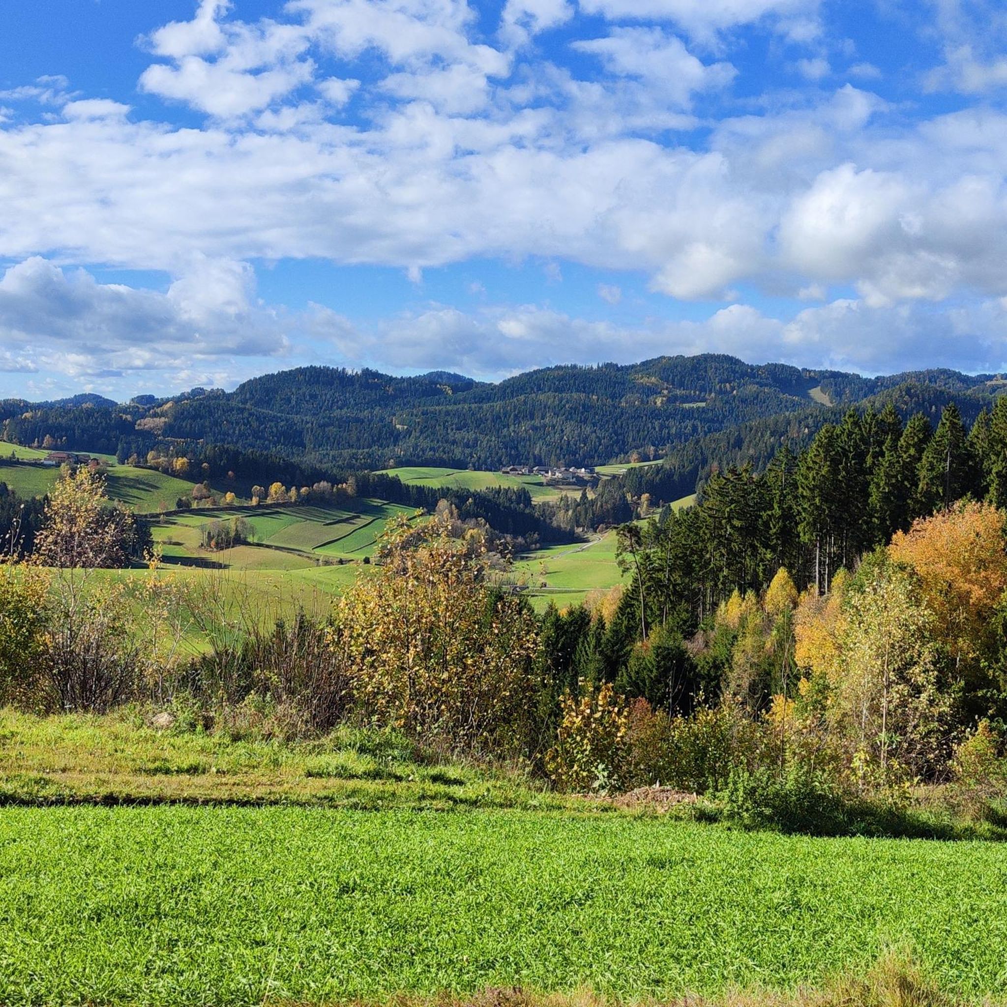
Gravel biking around Kaltenberg, located in Upper Austria's Mühlviertel region, offers diverse landscapes for cyclists. The area features a mix of forest paths, country roads, and unpaved trails, providing varied terrain for gravel biking. Notable natural features include the ancient Tannermoor with Rubner Pond and the Herrgottssitz Rock Formation, which is the highest point in Schönau at 855 meters. The region's rolling hills and natural beauty create a suitable environment for both casual and challenging rides.
Best gravel bike trails…
Last updated: October 5, 2026
4.3
(4)
9
riders
58.9km
04:06
1,130m
1,130m
Hard gravel ride. Very good fitness required. Mostly paved surfaces. Suitable for all skill levels.
4.5
(2)
7
riders
57.6km
04:04
1,120m
1,110m
Hard gravel ride. Very good fitness required. Mostly paved surfaces. Suitable for all skill levels.

5.0
(1)
3
riders
23.5km
01:52
510m
510m
Hard gravel ride. Very good fitness required. Mostly paved surfaces. Suitable for all skill levels.
5
riders
22.3km
01:56
620m
620m
Hard gravel ride. Very good fitness required. Mostly paved surfaces. Suitable for all skill levels.
5.0
(1)
2
riders
Hard gravel ride. Very good fitness required. You may need to push your bike for some segments of this route.
Our route recommendations are based on thousands of hikes, rides, and runs completed by other people on komoot.
Start today with a free account
Your next adventure awaits.
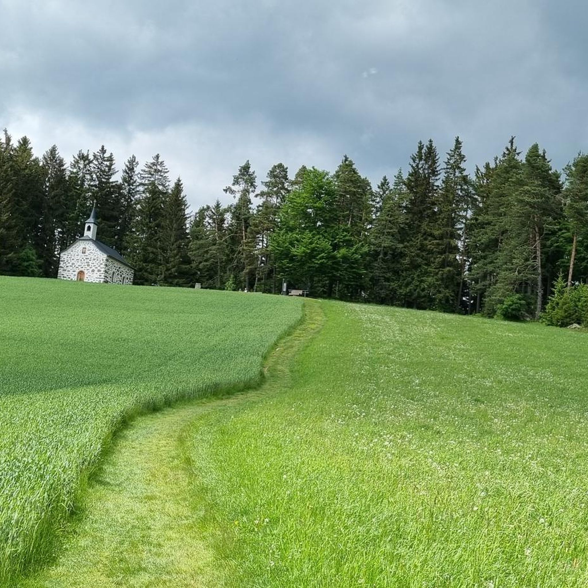
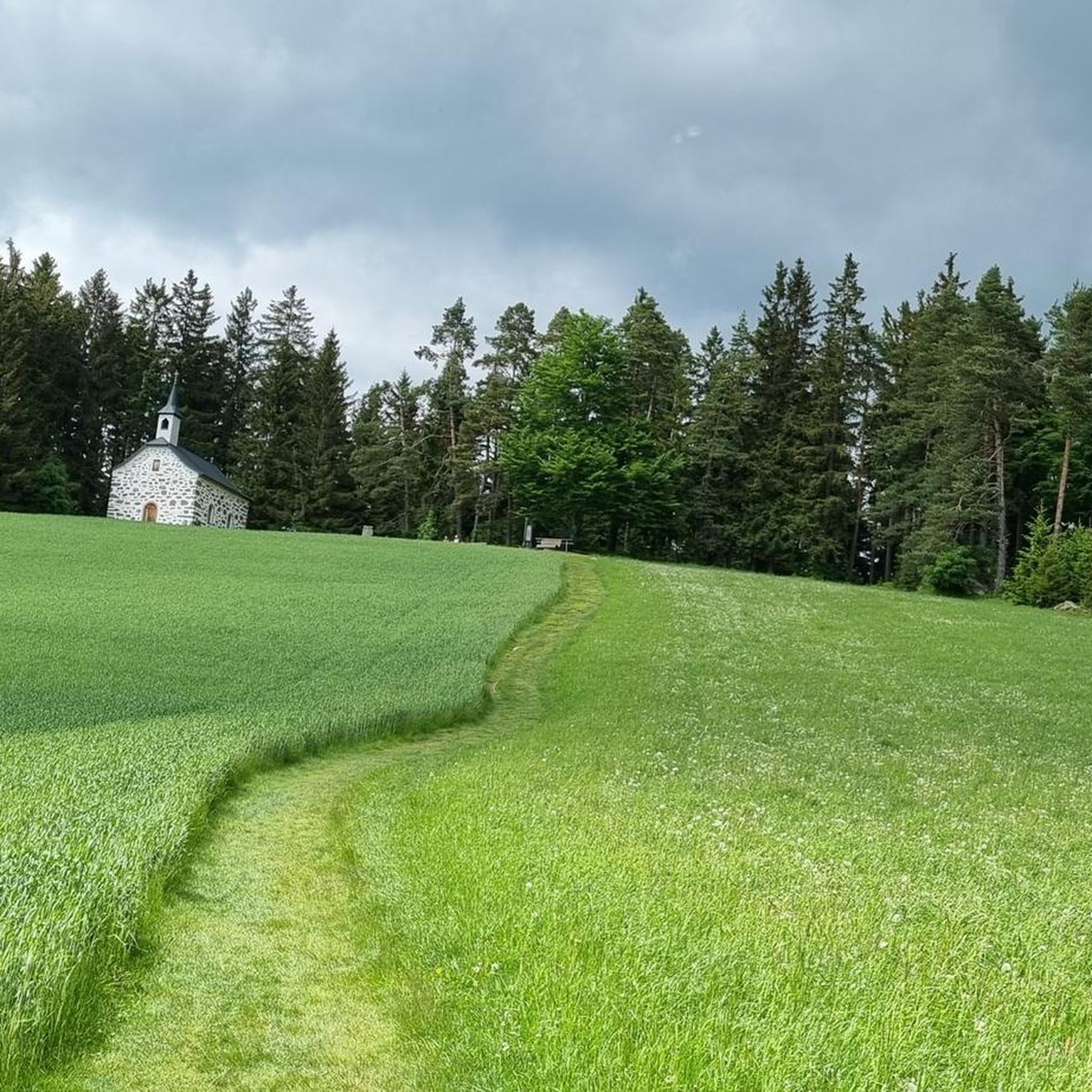
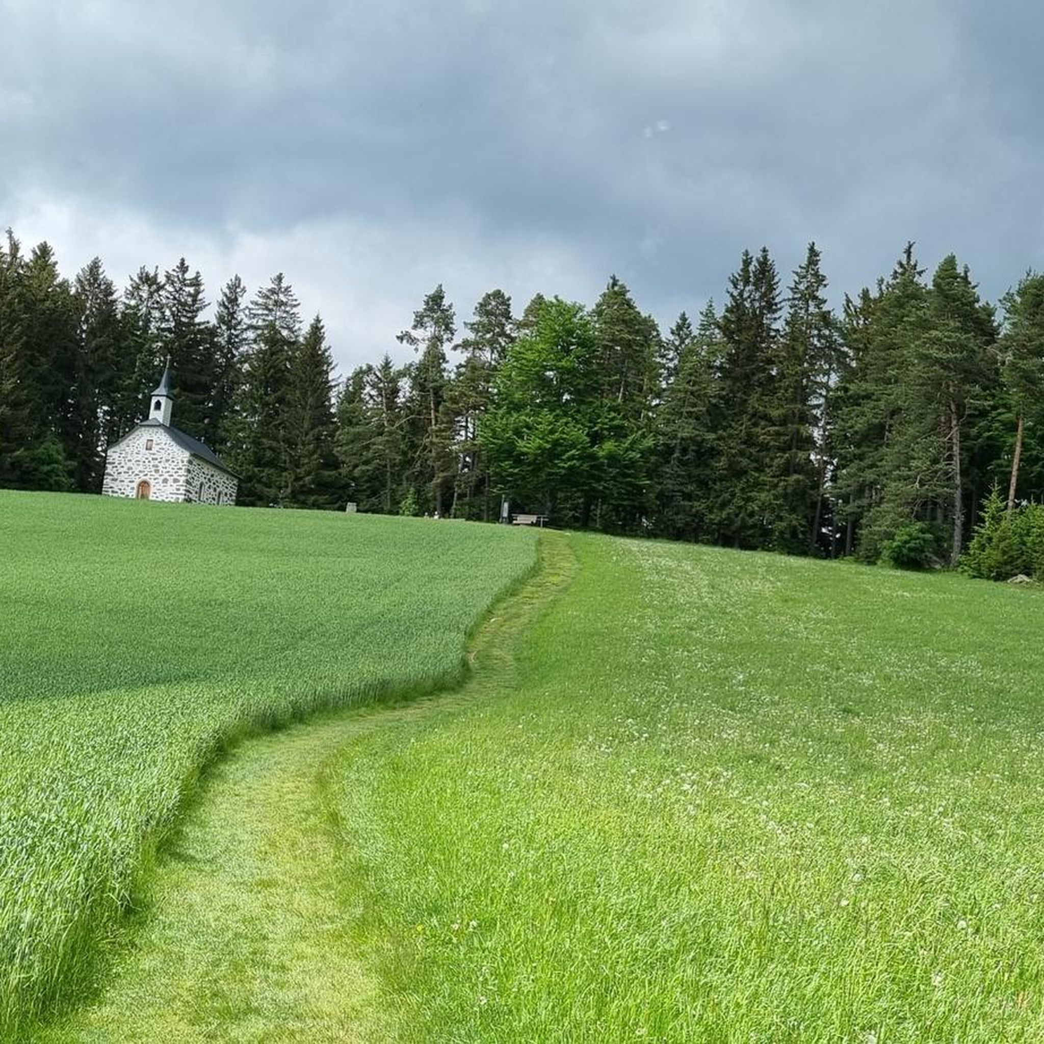
Tips from the Community

The Rubener Teich is a romantic, hidden natural moor bathing lake next to the Tanner Moor, with tiny bays and cozy spots. Right next to the Rubener Teich is the Moortreff. The natural beer garden offers a good opportunity to stop for refreshments.
0
0

This is quite a large herd of these impressive animals
0
0
There are no signs of bison in the immediate vicinity – the "pasture" is located near Langschlag. Unfortunately, it's only open Saturday/Sunday afternoons.
0
0
Many granite islands can be found here in the meadows and forests; this is one of the larger ones.
0
0

They only serve small meals, but they're open throughout the entire opening hours. Right at the back, near the trees under the parking lot, it's pleasantly cool even on hot days 😅
0
0
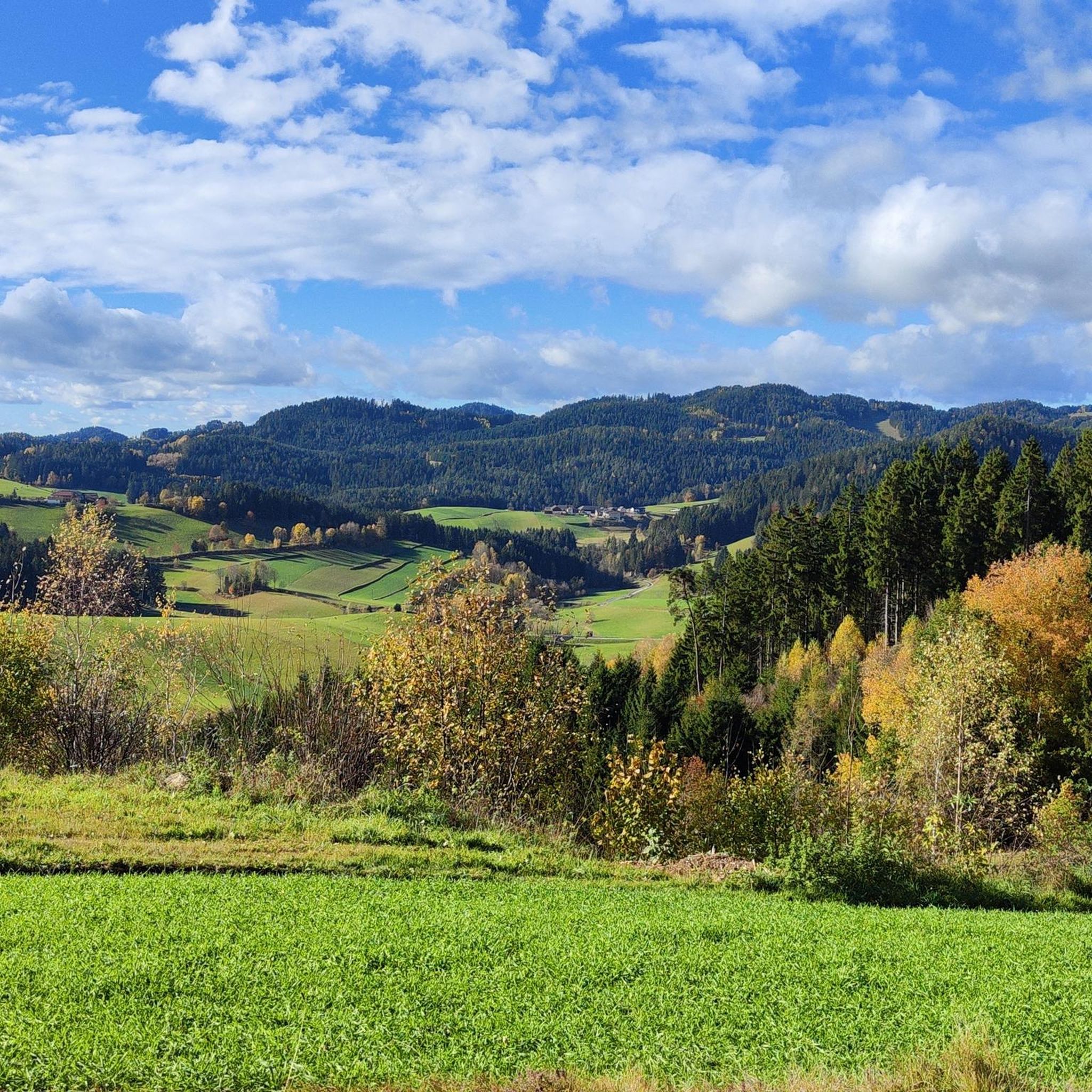
On the somewhat more challenging off-road descent from Schreineredt to Salchenedt, you can enjoy this beautiful view all the way to Königswiesen with the Hansenberg behind it
0
0

Super MTB tour - around Königswiesen
0
0
Frequently Asked Questions
What kind of terrain can I expect on gravel bike trails around Kaltenberg?
The Kaltenberg region, nestled in Upper Austria's Mühlviertel, offers a diverse mix of terrain ideal for gravel biking. You'll encounter forest paths, country roads, and unpaved trails, providing a varied experience that combines elements of road and mountain biking.
Are the gravel bike routes in Kaltenberg suitable for beginners?
The gravel bike routes around Kaltenberg are generally challenging. All listed routes are classified as 'difficult', featuring significant elevation gains and varied terrain. Riders should have some experience with challenging climbs and descents.
What natural features can I explore while gravel biking in Kaltenberg?
You can explore several unique natural features. The ancient Tannermoor, with its serene Rubner Pond, offers a tranquil landscape. Additionally, the Herrgottssitz Rock Formation, the highest point in Schönau, provides expansive views and is a beautiful natural power spot.
Are there any historical landmarks along the gravel bike routes?
Yes, the region boasts historical points of interest. You can visit the impressive Prandegg Castle Ruins, which offer a captivating destination for those exploring the area by bike.
What is the average elevation gain on Kaltenberg's gravel bike trails?
The gravel bike trails in Kaltenberg feature significant elevation changes. For example, the Rubner Pond in the Tannermoor – Rubenerteich loop from Amesreith includes over 1150 meters of ascent, while the Rubner Pond in the Tannermoor – Rubenerteich loop from Liebenau has over 1100 meters of elevation gain.
Are there any circular gravel bike routes available?
Yes, many of the gravel bike routes in Kaltenberg are designed as loops. For instance, you can try the Forest Trail Near Hörzenschlag – Königswiesen loop from Königswiesen, which takes you through forested areas, or the Lumis Alm – Königswiesen loop from Königswiesen.
What do other gravel bikers say about the trails in Kaltenberg?
The gravel biking experience in Kaltenberg is highly rated by the komoot community, with an average score of 4.7 stars from 4 reviews. Users often praise the diverse landscapes, ancient moorlands, and challenging yet rewarding routes that combine paved and unpaved surfaces.
How long does a typical gravel bike tour in Kaltenberg take?
Tour durations vary depending on the route and your pace. Shorter loops like the Forest Trail Near Hörzenschlag – Königswiesen loop from Königswiesen can be completed in about 2 hours. Longer routes, such as the Rubner Pond in the Tannermoor – Rubenerteich loop from Amesreith, typically take around 5 hours.
Are there any huts or shelters along the trails for a break?
Yes, you can find several huts and shelters in the area. Notable options include the Ruttenstein Shelter, Stone Hill Ranch, and Johannesweg Hut, which can provide a convenient stop during your ride.
What is the best time of year for gravel biking in Kaltenberg?
The diverse landscapes of the Kaltenberg region, with its mix of forest paths and country roads, make it suitable for gravel biking across multiple seasons. The varied terrain offers different experiences depending on the time of year, from lush greenery in spring and summer to vibrant colors in autumn.
Can I find a route that explores both natural beauty and local attractions?
Absolutely. Many routes allow you to combine natural beauty with local attractions. For example, a ride through the Tannermoor can lead you past the Herrgottssitz Rock Formation, offering both stunning scenery and cultural points of interest.
What is the longest gravel bike route available in Kaltenberg?
One of the longer routes is the Rubner Pond in the Tannermoor – Rubenerteich loop from Amesreith, which spans approximately 58.5 kilometers (36.3 miles) and features significant elevation gain, making it a demanding full-day adventure.
Most popular routes around Kaltenberg
Most popular attractions around Kaltenberg

Get inspired with the komoot mobile app


Explore more
Browse the best Gravel rides in other regions.
