The best running trails around Cassina Valsassina
4.5
(182)
10,371
runners
182
runs
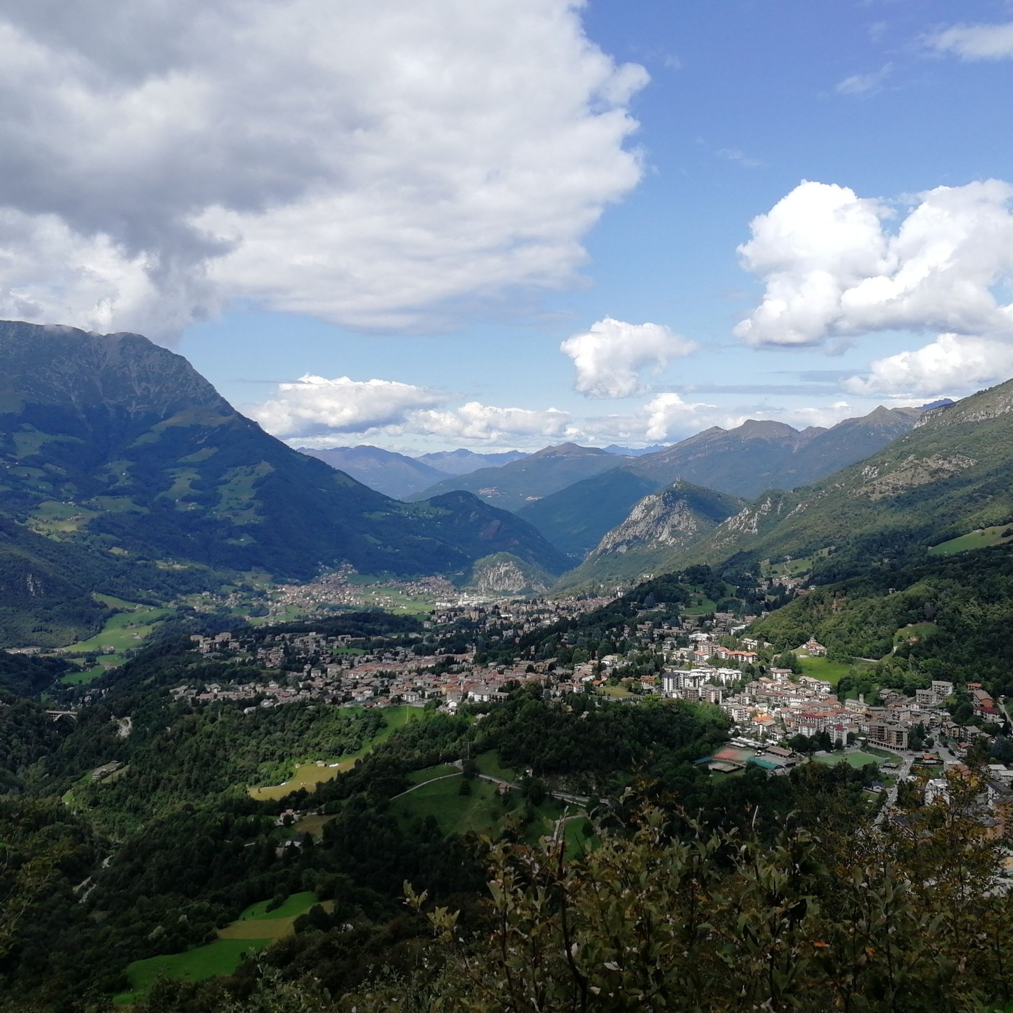
Jogging around Cassina Valsassina offers diverse natural landscapes in the heart of the Valsassina valley, Lombardy, Italy. The region is characterized by dramatic mountain peaks, valleys, and geological formations, including alpine meadows and karst landforms. Joggers can explore varied terrain, from the gentle gradients of the Valsassina cycle path to more challenging ascents in the surrounding mountains. This area provides a blend of tranquil natural beauty and opportunities for physical pursuits.
Best jogging routes around Cassina Valsassina
- The most popular…
Last updated: October 10, 2026
5.0
(1)
106
runners
19.5km
02:26
750m
750m
Hard run. Very good fitness required. Sure-footedness, sturdy shoes and alpine experience required.
62
runners
17.2km
02:57
1,040m
1,040m
Hard run. Very good fitness required. Sure-footedness, sturdy shoes and alpine experience required.

5.0
(1)
50
runners
24.1km
03:18
900m
900m
Hard run. Very good fitness required. Sure-footedness, sturdy shoes and alpine experience required.
21
runners
15.9km
01:54
530m
530m
Hard run. Very good fitness required. Sure-footedness, sturdy shoes and alpine experience required.
13
runners
11.7km
01:34
560m
560m
Hard run. Very good fitness required. Sure-footedness, sturdy shoes and alpine experience required.
Get access to more routes and recommendations from other explorers.
Already have an account?
Our route recommendations are based on thousands of hikes, rides, and runs completed by other people on komoot.
Start today with a free account
Your next adventure awaits.


Tips from the Community

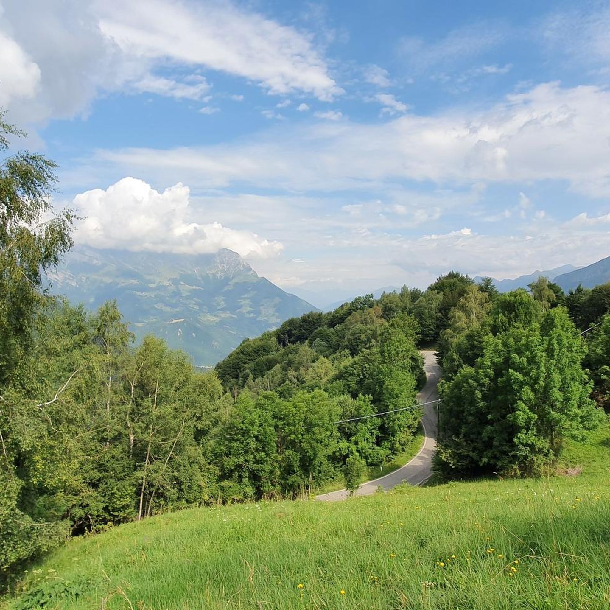
Beautiful picnic area with parking, here starts the path that leads to Piani di Artavaggio
0
0
Wide path leading to the Nicola refuge
0
0
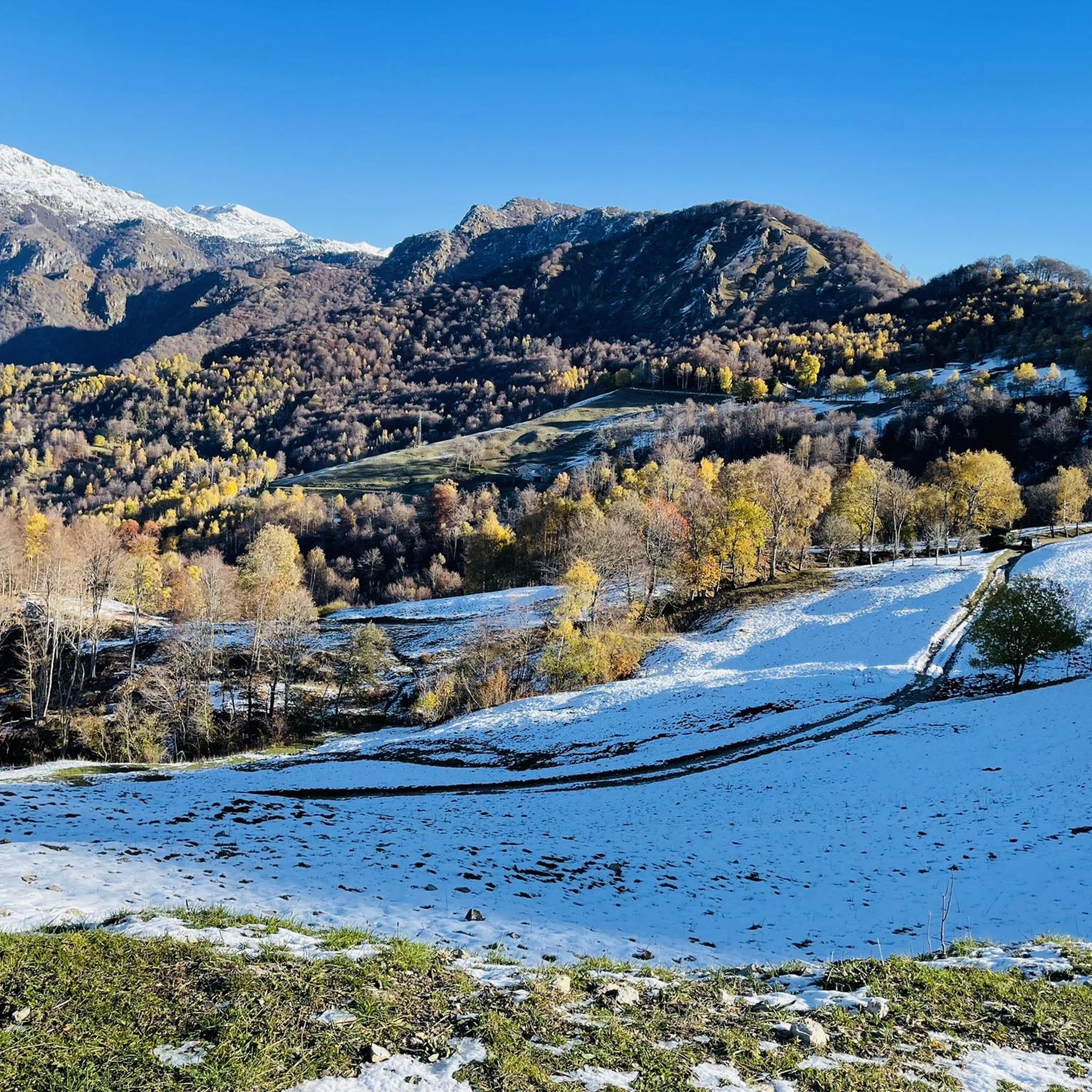
We are in Artavaggio, ideal for picnics in the summer and walks in the snow in winter, nearby there is also a comfortable refuge for lunch or a coffee.
0
0

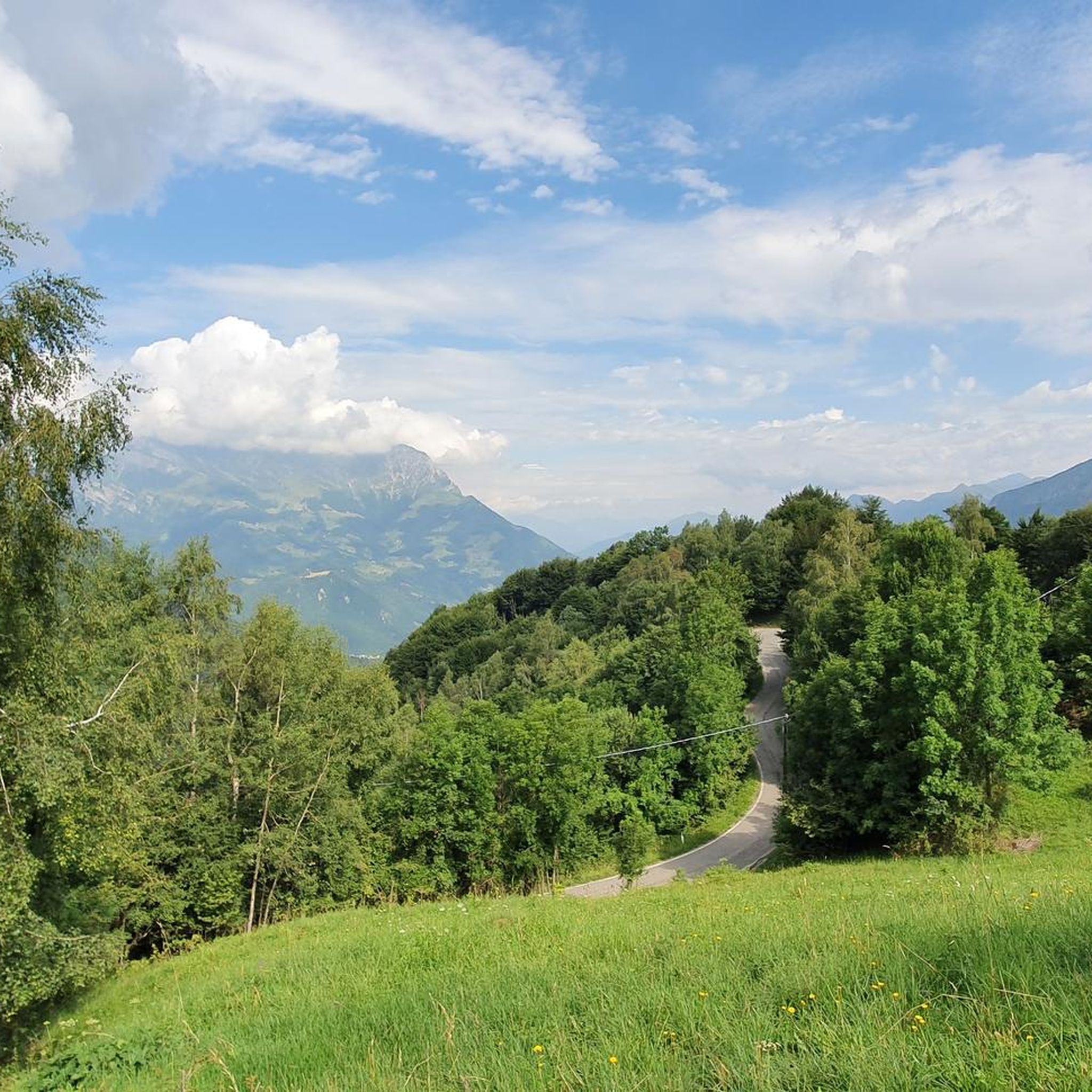
Silvio Pastorabile road, fully rideable with a mountain bike and good legs
0
0

its color identifies it from afar
0
0
In these areas you are literally spoiled for choice on where to cycle or walk.
0
0


Beautiful church with a roof similar to those of Nordic structures. Well maintained and very bright inside, it gives the impression of being welcomed once you cross the entrance
0
0
Frequently Asked Questions
How many running routes are available around Cassina Valsassina?
There are over 130 running routes around Cassina Valsassina, catering to various fitness levels. The komoot community has explored these trails over 7,300 times, giving them an average rating of 4.6 stars.
Are there any easy or family-friendly jogging paths in the area?
Yes, for an easy and enjoyable jog, especially suitable for families, consider the Valsassina Cycle Path. This entirely paved path winds along the valley floor for about 12 kilometers, separated from roads and running alongside the Pioverna creek with a gentle gradient. It also features amenities like kiosks with playgrounds and refreshment areas.
What kind of views can I expect on the running trails in Cassina Valsassina?
The region offers breathtaking mountain views. Many routes provide expansive vistas of Lecco and the Grigne mountain range. For example, the Summit of Resegone offers panoramic views, and the Ferrario Shelter on Grignetta provides stunning views of Lake Como and the surrounding plain.
Are there any circular running routes around Cassina Valsassina?
Yes, many routes are designed as loops. A challenging option is the Chiesa dei Piani di Artavaggio – Rifugio Nicola loop from Cassina Valsassina, which is 17.7 miles (28.4 km) long. Another popular choice is the Running loop from Morterone, a difficult 6.8-mile (10.9 km) path.
Can I find challenging trail running options in Cassina Valsassina?
Absolutely. The area is known for its dramatic mountain peaks and significant elevation changes, making it ideal for challenging trail running. For instance, the Locatelli Shelter – Monte Due Mani Ridge loop from Cremeno is a difficult 18.5-kilometer route with nearly 1,000 meters of ascent.
Are there any waterfalls or natural monuments to see along the running paths?
Yes, you can discover natural wonders. The Cenghen Waterfall is an accessible and picturesque natural cascade, reachable via a simple hike that can be incorporated into a run. Other notable natural monuments include the Summit of Resegone and the Ferrario Shelter.
What do other runners enjoy most about jogging in Cassina Valsassina?
The komoot community highly rates the running experience in Cassina Valsassina, with an average score of 4.6 stars from over 90 reviews. Runners often praise the diverse natural landscapes, from tranquil valley paths to challenging mountain ascents, and the stunning panoramic views offered by the region's peaks.
Are the running routes in Cassina Valsassina accessible by public transport?
While specific public transport connections to all trailheads vary, the Valsassina region is generally well-connected. For detailed information on reaching specific starting points, it's recommended to check local bus schedules or regional transport services that serve the towns and villages within the valley.
Is there parking available near the jogging routes?
Yes, parking is generally available in the towns and villages that serve as starting points for many routes. For example, areas along the Valsassina Cycle Path often have designated parking spots, and trailheads for mountain routes typically have parking facilities nearby, though these can fill up during peak times.
What is the best season for running in Cassina Valsassina?
The region is excellent for running from spring through autumn, when the trails are clear and the weather is pleasant. Summer offers lush landscapes, while autumn provides vibrant foliage. While some lower-altitude paths may be suitable in winter, higher mountain trails can be challenging due to snow and ice, with areas like Piani di Bobbio transforming into ski resorts.
Are there any long-distance running trails for endurance training?
Yes, for those seeking longer distances, the region offers several options. The Chiesa dei Piani di Artavaggio – Rifugio Nicola loop from Cassina Valsassina is a significant 17.7-mile (28.4 km) route with considerable elevation gain, providing an excellent challenge for endurance runners.
Can I find places to eat or drink along the running routes?
Along the Valsassina Cycle Path, you'll find kiosks with refreshment areas and picnic spots, perfect for a break. For other routes, especially those in mountainous areas, it's advisable to carry your own provisions. However, many trails lead to or pass through villages where cafes, pubs, and restaurants are available.
Most popular routes around Cassina Valsassina
Most popular attractions around Cassina Valsassina

Get inspired with the komoot mobile app


Explore more
Browse the best Running Trails & Routes in other regions.
