The best walks and hikes around Cassina Valsassina
4.4
(11509)
68,742
hikers
10
hikes
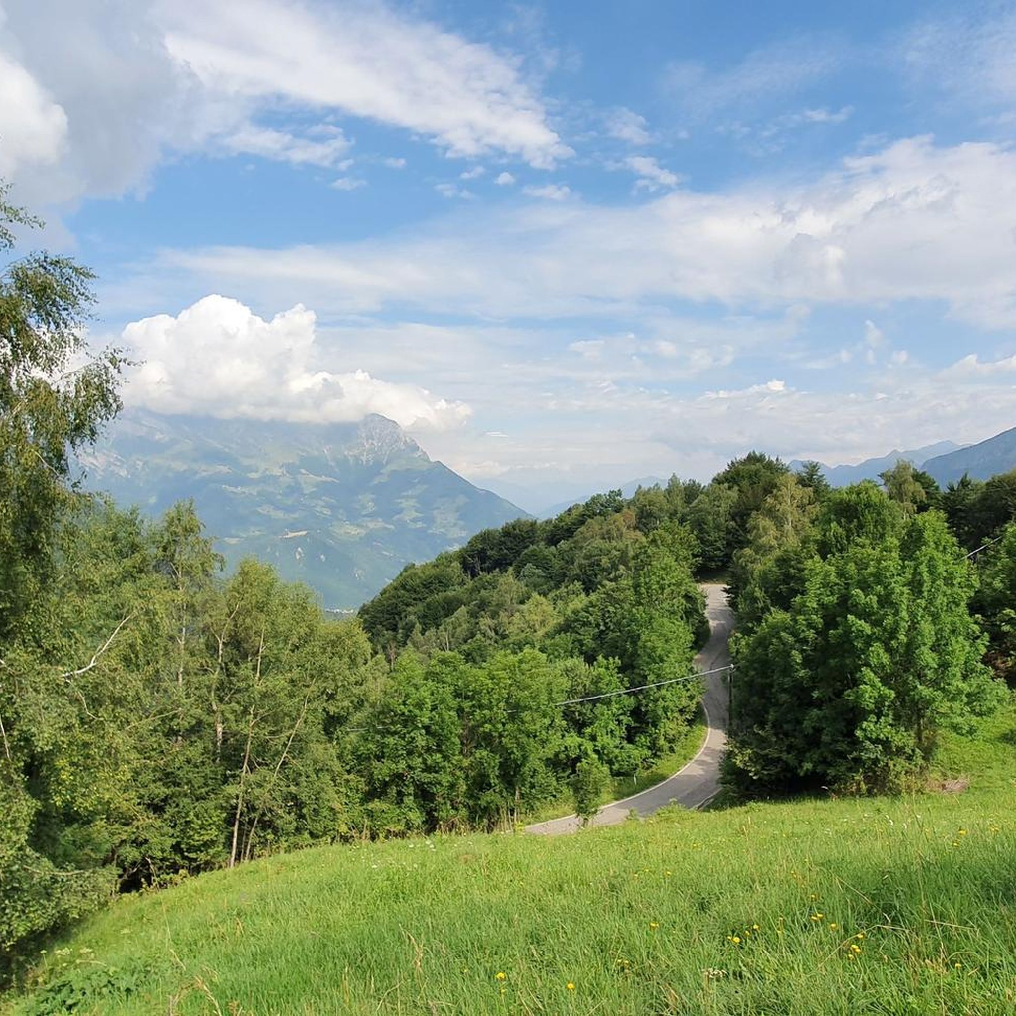
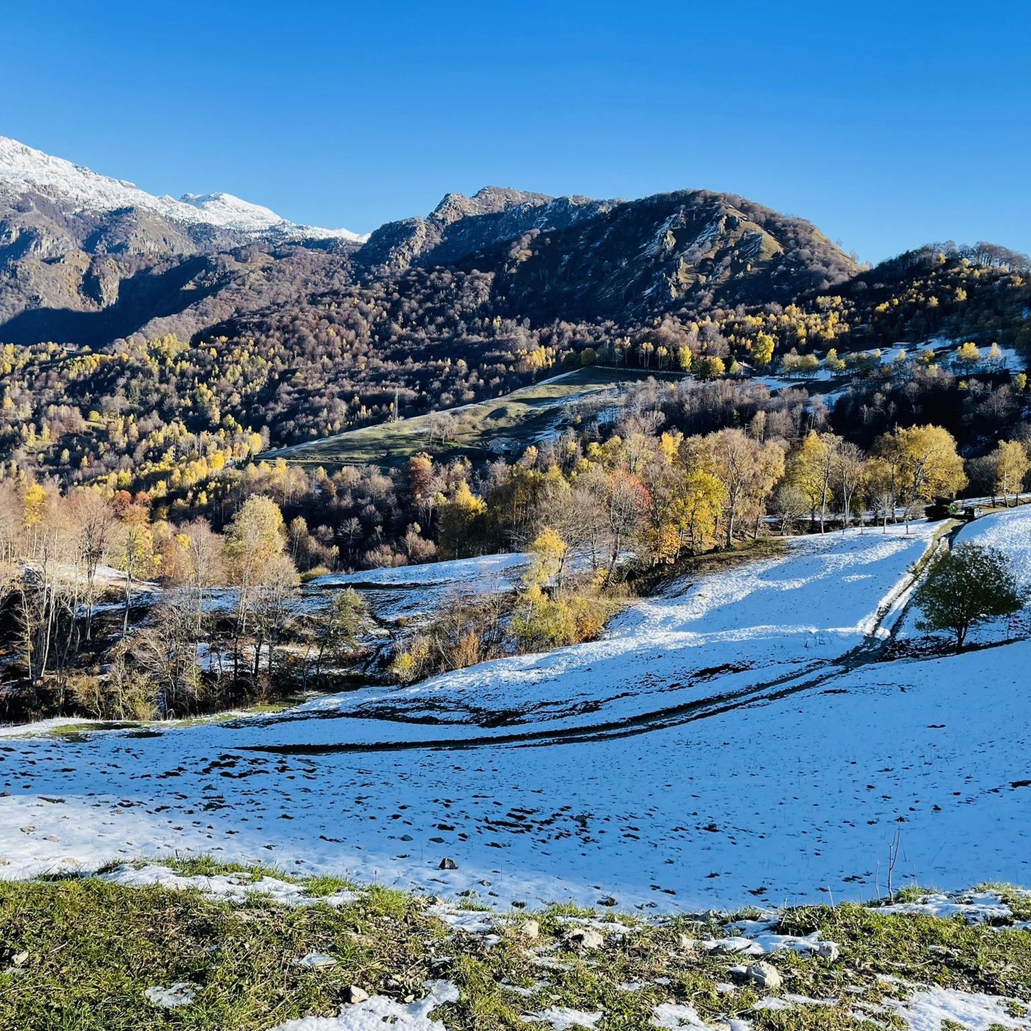
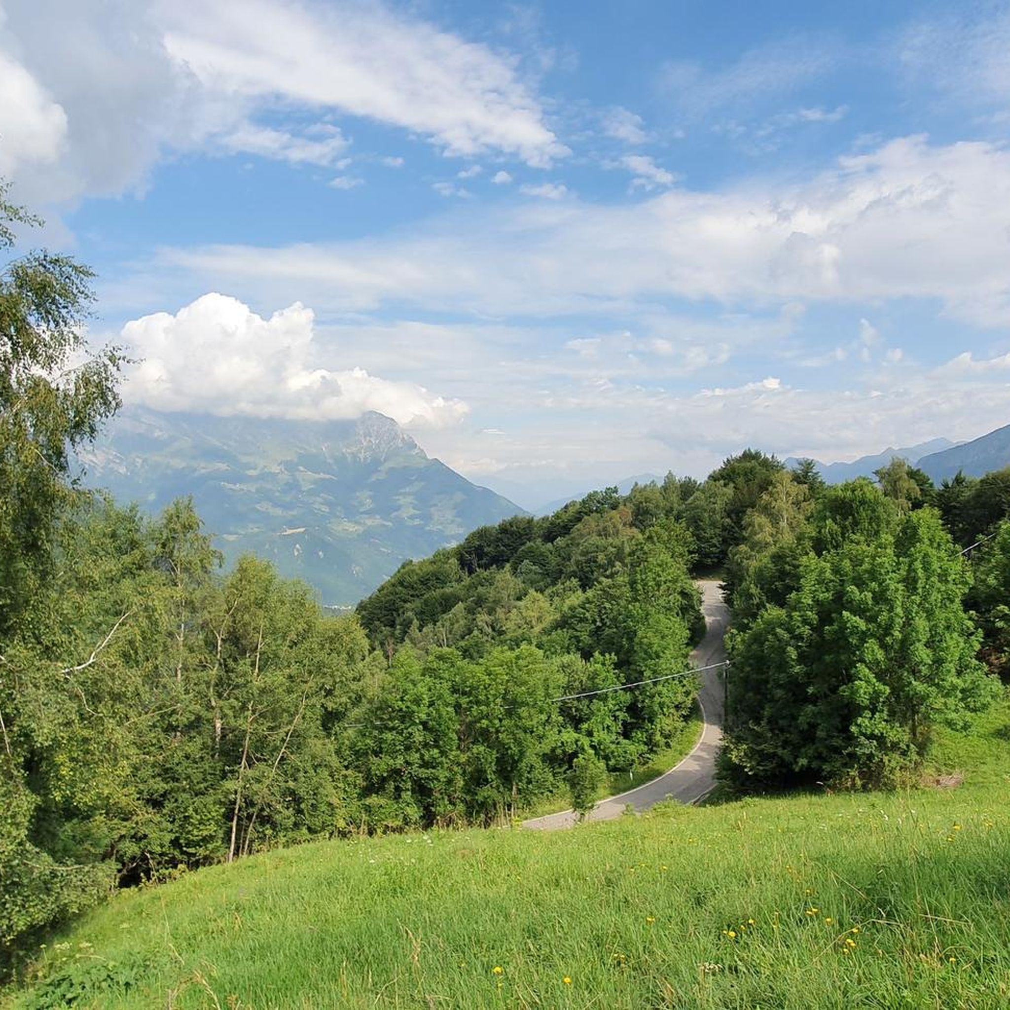
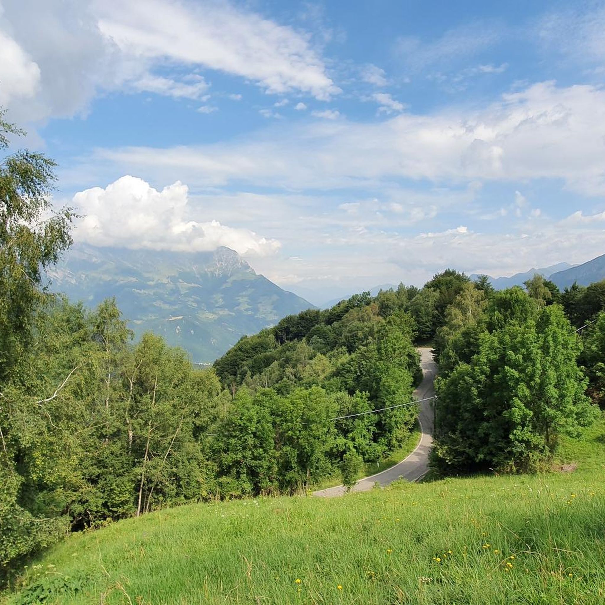
Hiking around Cassina Valsassina offers diverse terrain within the Lombardy region of northern Italy. The area is defined by the Grigne mountains to the east and the Orobie Pre-Alps to the west, featuring limestone walls, green pastures, and alpine meadows. Hikers can expect to traverse varied landscapes, including dense beech forests, stream-side paths, and karst landforms. The region provides a network of trails suitable for various skill levels.
Best hiking trails around Cassina Valsassina
- The most popular hiking route is Sentiero del Vallone from Moggio to Piani di Artavaggio, a 7.7 miles (12.4 km) difficult trail that takes 5 hours 57 minutes to complete, offering views of the Grigne mountains.
- Another top favourite among local hikers is Vallone Stream Trail to Piani di Artavaggio, a moderate 6.9 miles (11.0 km) path. This route follows a stream through varied terrain towards the Piani di Artavaggio.
- Local hikers also love the From Moggio to Piani di Artavaggio, a 6.6 miles (10.7 km) trail leading through mountain landscapes, often completed in about 5 hours 6 minutes.
- Hiking around Cassina Valsassina is defined by majestic mountain peaks, verdant valleys, and dense forests. The network offers options for both leisurely walks and challenging multi-hour treks.
- The routes in Cassina Valsassina are highly rated by the komoot community with an average score of 4.5 stars from over 9,000 reviews. More than 60,000 hikers have used komoot to explore Cassina Valsassina's varied terrain.
Last updated: September 28, 2026
3.5
(2)
12
hikers
6.58km
03:05
450m
450m
Mountain pass hike with stunning views of the jagged Resegone Massif and blooming cyclamen.
4.3
(13)
66
hikers
5.88km
02:02
240m
240m
Moderate hike. Good fitness required. Mostly accessible paths. Sure-footedness required.

4.5
(11)
33
hikers
9.64km
03:23
490m
490m
Moderate hike. Good fitness required. Mostly accessible paths. Sure-footedness required.
4.4
(85)
492
hikers
17.8km
07:04
980m
980m
Hard hike. Very good fitness required. Mostly accessible paths. Sure-footedness required.
3.0
(2)
21
hikers
Moderate hike. Good fitness required. Mostly accessible paths. Sure-footedness required.
Get access to more routes and recommendations from other explorers.
Already have an account?
Our route recommendations are based on thousands of hikes, rides, and runs completed by other people on komoot.
Start today with a free account
Your next adventure awaits.


Tips from the Community

I passed by it on my way up to Piani di Artavaggio but I didn't go up it.
0
0
Road taken descending from Piani di Artavaggio
1
0
Viewpoint on Valsassina descending from Piani di Artavaggio
0
0
Road taken descending from Piani di Artavaggio
0
0
Great spot to observe the Resegone
0
0

Beautiful place perfect for lunch or a break after descending from the summit of Due Mani
0
0

Small but well-managed refuge! The menu changes based on availability, the choice is limited but of high quality. The managers are very helpful and friendly. For the few available seats inside, booking is recommended; outside, there is also a picnic area.
0
0

Watch out for ticks... last year's experience
0
0
Frequently Asked Questions
How many hiking trails are available around Cassina Valsassina?
Cassina Valsassina offers a vast network of over 600 hiking trails. These routes cater to various skill levels, from leisurely walks through verdant valleys to challenging ascents in the Grigne and Orobie Pre-Alps.
Are there easy or family-friendly hiking options in Cassina Valsassina?
Yes, there are approximately 70 easy trails suitable for families and those seeking less strenuous walks. The region research highlights paths to the Cenghen Waterfall as a family-friendly option, and walks to Piani di Artavaggio, which can also be reached by cable car, are generally accessible.
What kind of terrain can I expect on hikes in Cassina Valsassina?
The terrain around Cassina Valsassina is incredibly diverse, ranging from dense beech and deciduous forests to alpine meadows and intriguing karst landforms. You'll find stream-side paths, rocky ascents, and trails that traverse the dramatic limestone walls of the Grigne mountains.
Are there any trails with waterfalls in the area?
Yes, the Cenghen Waterfall is a notable natural feature in the region, accessible via a relatively simple hike. It's a popular spot and is considered a family-friendly attraction.
Where can I find panoramic views during a hike?
Many trails offer breathtaking panoramic views. The Summit of Resegone is renowned for its vistas of Lecco and the Grigne. Similarly, the Ferrario Shelter provides stunning views of Lake Como and the surrounding plain. For a unique experience, the Locatelli Milani Scaioli bivouac offers incredible 360-degree views from a ridge.
What are some challenging hikes for experienced trekkers?
For experienced hikers, the region offers numerous challenging routes. The Monte Resegone from Brumano Trail is known for its significant elevation gain and panoramic rewards. Other demanding options include trails leading to Monte Due Mani, Zuccone Campelli, and the Pizzo dei Tre Signori.
Are there any circular hiking routes in Cassina Valsassina?
While specific circular routes are not detailed in the provided data, many trails in the region can be combined or are inherently loop-shaped to offer varied experiences. For example, the Vallone Stream Trail to Piani di Artavaggio offers a journey through varied terrain, and many routes to mountain huts can be adapted for a return journey.
What do other hikers say about the trails in Cassina Valsassina?
The hiking trails in Cassina Valsassina are highly regarded by the komoot community, holding an average rating of 4.5 stars from over 9,000 reviews. Hikers often praise the diverse landscapes, from dense forests to alpine pastures, and the rewarding panoramic views from mountain peaks.
Are there any interesting landmarks or attractions near the hiking trails?
Yes, beyond the natural beauty, you can explore several points of interest. The nearby Val Taleggio offers impressive gorges, and the Ferrera Cave is another unique natural attraction. For those interested in historical sites, the Sentiero del Viandante (Wanderer's Trail), an old mule track, passes through historic villages along Lake Como.
What is the best time of year to go hiking in Cassina Valsassina?
The region is generally excellent for hiking from spring through autumn, when the weather is mild and the trails are clear. During these seasons, you can fully appreciate the verdant valleys and alpine meadows. Winter hiking is also possible on some trails, particularly those at lower elevations, but requires appropriate gear and awareness of snow conditions.
Can I reach hiking trailheads using public transport?
While specific public transport details for every trailhead are not provided, the region is accessible, and some areas like Piani di Artavaggio can be reached by cable car, which often connects with local transport options. It's advisable to check local bus schedules for access to specific starting points like Moggio for routes such as Sentiero del Vallone from Moggio to Piani di Artavaggio.
Are there mountain huts or refuges along the trails?
Yes, the region features several refuges and mountain huts that serve as excellent destinations or stopping points for longer routes. Examples include the Rifugio Casari at Piani di Artavaggio and the Rifugio Martino De Bortoli, providing comfort and facilities amidst the mountains.
Most popular routes around Cassina Valsassina
Most popular attractions around Cassina Valsassina

Get inspired with the komoot mobile app


Explore more
Browse the best Hikes in other regions.
