The best walks and hikes around Roccagloriosa
4.6
(730)
2,952
hikers
71
hikes
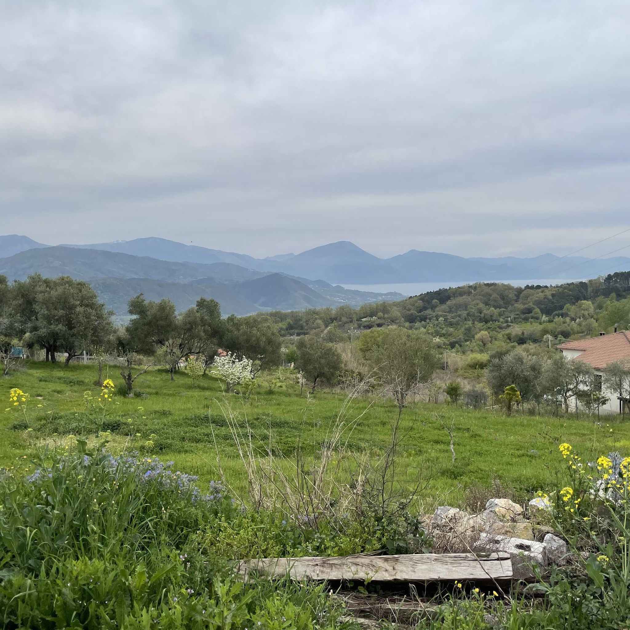
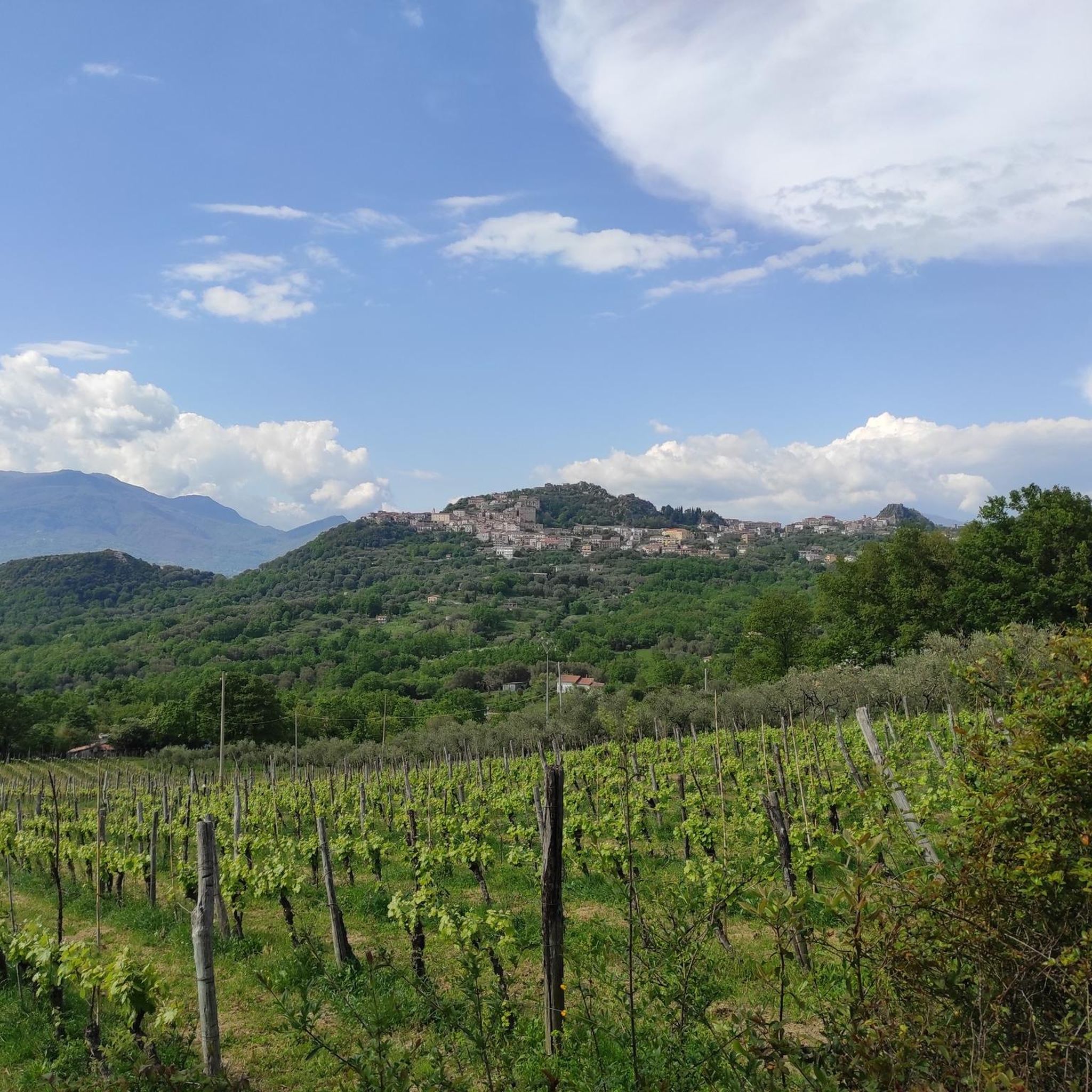
Hiking around Roccagloriosa offers access to diverse natural features within the Cilento and Vallo di Diano National Park in Italy's Campania region. The area is characterized by rocky hills, including the prominent Mount Bulgheria, and overlooks the Gulf of Policastro. Hikers can explore trails that traverse the picturesque Mingardo and Bussento river valleys, providing varied terrain and expansive views. This strategic position ensures a well-preserved environment for outdoor activities.
Best hiking trails around Roccagloriosa
- The most popular hiking route is View of the Gulf of Policastro – Monte Bulgheria Summit loop from San Giovanni a Piro, a 5.4 miles (8.7 km) trail that takes 3 hours 33 minutes to complete. This route offers rewarding summit views of the Gulf of Policastro.
- Another top favourite among local hikers is Monte Bulgheria – View of the Gulf of Policastro loop from San Giovanni a Piro, an easy 3.9 miles (6.2 km) path. This trail provides views of Monte Bulgheria and the coastal scenery.
- Local hikers also love the View of the Gulf of Policastro – Monte Bulgheria loop from San Giovanni a Piro, a 3.3 miles (5.4 km) trail leading through the Monte Bulgheria area with views of the Gulf of Policastro, often completed in about 1 hour 32 minutes.
- Hiking around Roccagloriosa is defined by prominent hills like Mount Bulgheria, views of the Gulf of Policastro, and trails within the Cilento and Vallo di Diano National Park. The network offers options for various ability levels, from easy paths to more difficult ascents.
- The routes in Roccagloriosa are highly rated by the komoot community with an average score of 4.6 stars from over 600 reviews. More than 2,800 hikers have used komoot to explore Roccagloriosa's varied terrain.
Last updated: July 8, 2026
4.4
(34)
119
hikers
Moderate hike. Good fitness required. Mostly accessible paths. Sure-footedness required.
4.4
(14)
67
hikers
16.2km
05:58
980m
980m
Hard hike. Very good fitness required. Mostly accessible paths. Sure-footedness required.

Sign up for free
4.5
(10)
22
hikers
11.3km
04:38
670m
670m
Hard hike. Good fitness required. Sure-footedness, sturdy shoes and alpine experience required.
5.0
(8)
19
hikers
Easy hike. Great for any fitness level. Easily-accessible paths. Suitable for all skill levels.
5.0
(1)
10
hikers
Easy hike. Great for any fitness level. Easily-accessible paths. Suitable for all skill levels.
Get access to more routes and recommendations from other explorers.
Sign up for free
Already have an account?
Our route recommendations are based on thousands of hikes, rides, and runs completed by other people on komoot.
Start today with a free account
Your next adventure awaits.
Login or Signup
Tips from the Community

Here, take the Lequa trail, which intersects with the Hermits' Trail after about 4 km and leads to the summit of Mount Bulgheria. Info on Mount Bulgheria: https://www.cilentano.it/monti-del-cilento-il-monte-bulgheria
1
0
Here's information about Mount Bulgheria: https://www.cilentano.it/monti-del-cilento-il-monte-bulgheria/
1
0
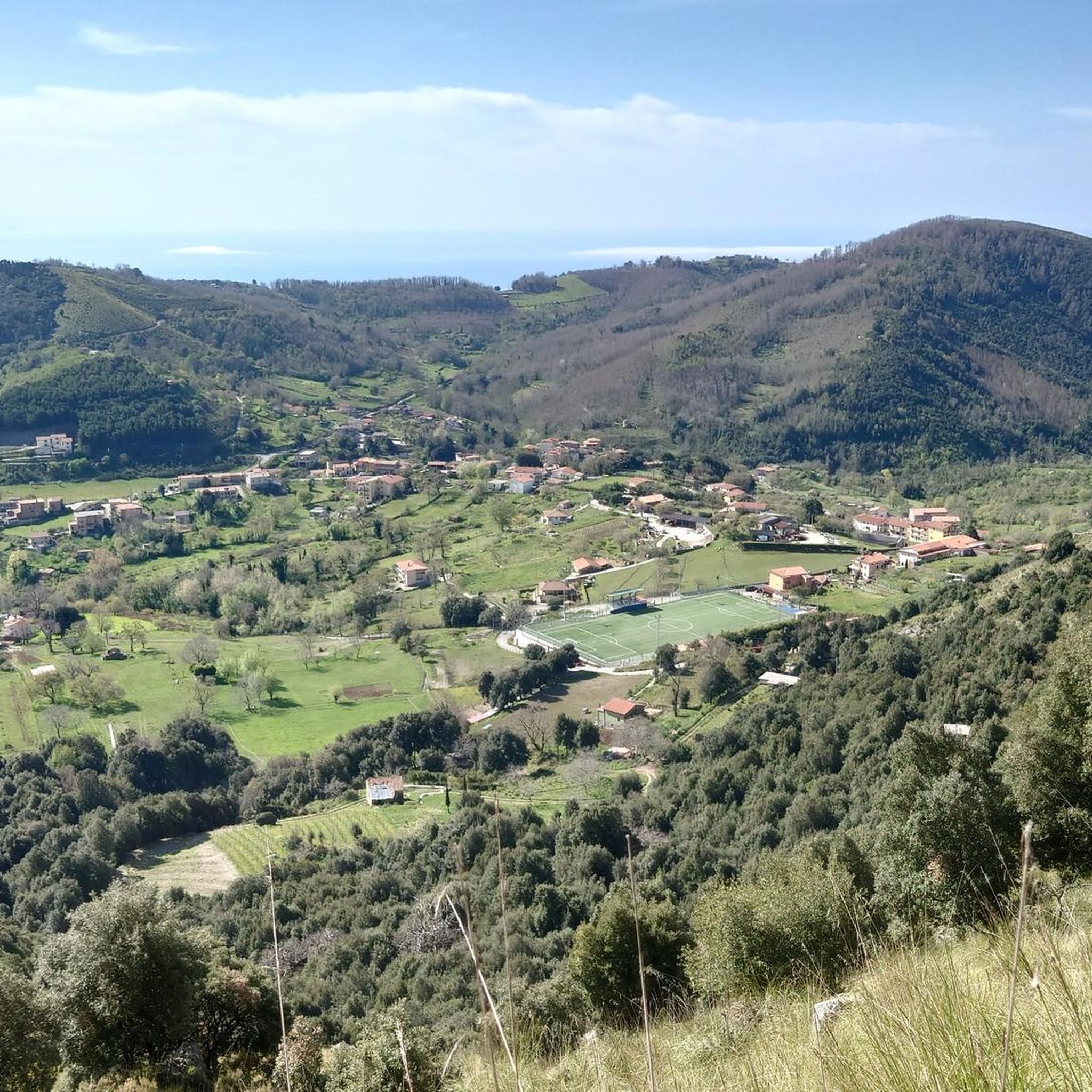
Near the San Giovanni a Piro municipal sports field, the trail to Monte Bulgheria begins, following the Sentiero degli Eremiti (Hermits' Path). Parking is available for three to four cars.
1
0

A public beach accessible in a 20-minute walk from the parking lots along the paved road leading to La Francesca, excellent for snorkeling and cave exploration. The final trail is steep, but with steps that allow for less risky access. Unfortunately, however, the beach is the first gulf with calm water if you depart from Scario, so on August 1, 2025, we were surrounded by 25-30 boats less than 100 meters from the shore... you can imagine the water conditions, with various types of waste and yellowish foam. I recommend visiting on a weekday to fully appreciate it.
0
0

Panoramic terrace and starting point for excursions along the Costa della Masseta. Parking available
1
0

In the green saddle west of the summit, various paths cross. Some stone blocks are stacked to form a rustic resting place
0
0
At the beginning of the summit ridge there is a beautiful view of the Gulf and San Giovanni a Piro, the view here is more beautiful than from the actual summit
0
0
A beautiful, not too steep climb up to about 950 m above sea level along an old mule track. If you want to continue to the summit, you have to pay close attention to the red and white markings, which are becoming increasingly rare. In the treeless zone, there are occasionally cairns to help you orient yourself, but it is worth using GPS here even for mountain hikers with experience of walking in pathless terrain. The easiest way to climb is over the ridge on the right, but it is not advisable to climb in fog.
0
0
Frequently Asked Questions
What types of hiking trails can I expect around Roccagloriosa?
Roccagloriosa, situated within the Cilento and Vallo di Diano National Park, offers a diverse range of hiking trails. You'll find paths traversing rocky hills, including the prominent Mount Bulgheria, and routes that provide spectacular views of the Gulf of Policastro. The area also features trails through the picturesque Mingardo and Bussento river valleys, with options ranging from easy strolls to more challenging ascents.
Are there any easy hiking trails suitable for beginners or families in Roccagloriosa?
Yes, Roccagloriosa offers several easy trails. For instance, the Monte Bulgheria – View of the Gulf of Policastro loop from San Giovanni a Piro is an easy 6.2 km path that provides beautiful coastal scenery. Another accessible option is the View of the Gulf of Policastro – Monte Bulgheria loop from San Giovanni a Piro, which is 5.4 km long and leads through the Monte Bulgheria area with views of the Gulf of Policastro.
What are the best trails for panoramic views in the Roccagloriosa area?
Many trails in Roccagloriosa offer expansive vistas. The View of the Gulf of Policastro – Monte Bulgheria Summit loop from San Giovanni a Piro is a moderate 8.7 km route known for its rewarding summit views of the Gulf of Policastro. From higher elevations like Mount Bulgheria's summit or the castle ruins, you can often see Mount Cervati, the sea of Palinuro, and even the distant coasts of Calabria and Basilicata.
Are there any circular hiking routes available near Roccagloriosa?
Yes, many of the trails around Roccagloriosa are designed as loops, allowing you to start and end at the same point. Examples include the View of the Gulf of Policastro – Monte Bulgheria Summit loop from San Giovanni a Piro and the Monte Bulgheria – View of the Gulf of Policastro loop from San Giovanni a Piro, both offering circular paths with stunning scenery.
What natural features or points of interest can I explore while hiking in Roccagloriosa?
The region is rich in natural beauty. Hikers can explore prominent landmarks like Mount Bulgheria and enjoy views of the Gulf of Policastro. The area also features the picturesque Mingardo and Bussento river valleys. For those interested in unique geological formations, you can find highlights such as the Water Cave and the Vallivona Sinkhole. Coastal trails may lead to beautiful spots like Pozzallo Beach or Baia degli Infreschi.
What is the best time of year to go hiking in Roccagloriosa?
Roccagloriosa, located in southern Italy, generally offers pleasant hiking conditions for much of the year. Spring and autumn are often ideal, with milder temperatures and lush landscapes. Summers can be hot, so early morning or late afternoon hikes are recommended during this season. Winters are generally mild, though some higher elevation trails might be cooler.
Are there any challenging or difficult hikes around Roccagloriosa?
Yes, for experienced hikers seeking a challenge, there are more demanding routes. The Punta Spinosa Junction – Torre Spinosa Watchtower loop from San Giovanni a Piro is a difficult 10.4 km trail with significant elevation changes. Another difficult option is the Water Cave – Molara Beach loop from San Giovanni a Piro, which covers 11.2 km and involves substantial ascents and descents.
What do other hikers say about the trails in Roccagloriosa?
The hiking routes in Roccagloriosa are highly regarded by the komoot community, holding an average rating of 4.6 stars from over 600 reviews. Hikers frequently praise the diverse terrain, the stunning views of the Gulf of Policastro, and the well-preserved natural environment within the national park.
Is there public transport access to trailheads near Roccagloriosa?
While Roccagloriosa is a small village, public transport options to specific trailheads can be limited. It's often advisable to have your own transport to reach the starting points of many hikes, especially those outside the immediate village center. For detailed information on local bus services, it's best to check with local tourist information or transport providers in advance.
Are there any specific attractions or landmarks to visit in Roccagloriosa itself?
Beyond the hiking trails, Roccagloriosa offers its own charm. The village is strategically positioned on a rocky hill, providing panoramic views from spots like Piazza del Popolo and the ruins of the castle. For more information on the village's attractions, you can visit visitcilento.com.
How many hiking routes are available in the Roccagloriosa area?
There are over 70 hiking routes available around Roccagloriosa, catering to various skill levels. This includes approximately 27 easy routes, 30 moderate routes, and 13 difficult routes, ensuring options for everyone from casual walkers to experienced trekkers.
Can I find places to eat or stay near the hiking trails in Roccagloriosa?
Roccagloriosa and its surrounding villages offer local cafes, restaurants, and accommodation options where you can refuel and rest. While specific establishments might not be directly on every trailhead, the village center provides amenities for hikers. It's recommended to check local listings for current operating hours and availability.
Most popular attractions around Roccagloriosa

Get inspired with the komoot mobile app


Explore more
Browse the best Hikes in other regions.
