The best walks and hikes around Ceto
4.4
(1706)
11,801
hikers
16
hikes
Hiking around Ceto offers diverse terrain, from valley paths in Val Paghera to alpine routes leading to mountain refuges and high-altitude lakes. The region features historical sites, including ancient rock engravings, alongside varied natural landscapes. Trails range from easy walks to challenging mountain ascents, providing options for different experience levels.
Best hiking trails around Ceto
- The most popular hiking route is Monsignor Giovanni Antonioli Trail, a 7.1 miles (11.4 km) difficult trail that takes 5 hours 40 minutes to…
Last updated: September 26, 2026
4.5
(6)
36
hikers
11.4km
05:40
930m
930m
Hike the difficult 7.1-mile Monsignor Giovanni Antonioli Trail in Parco dell'Adamello, gaining 3050 feet through alpine scenery.
2
hikers
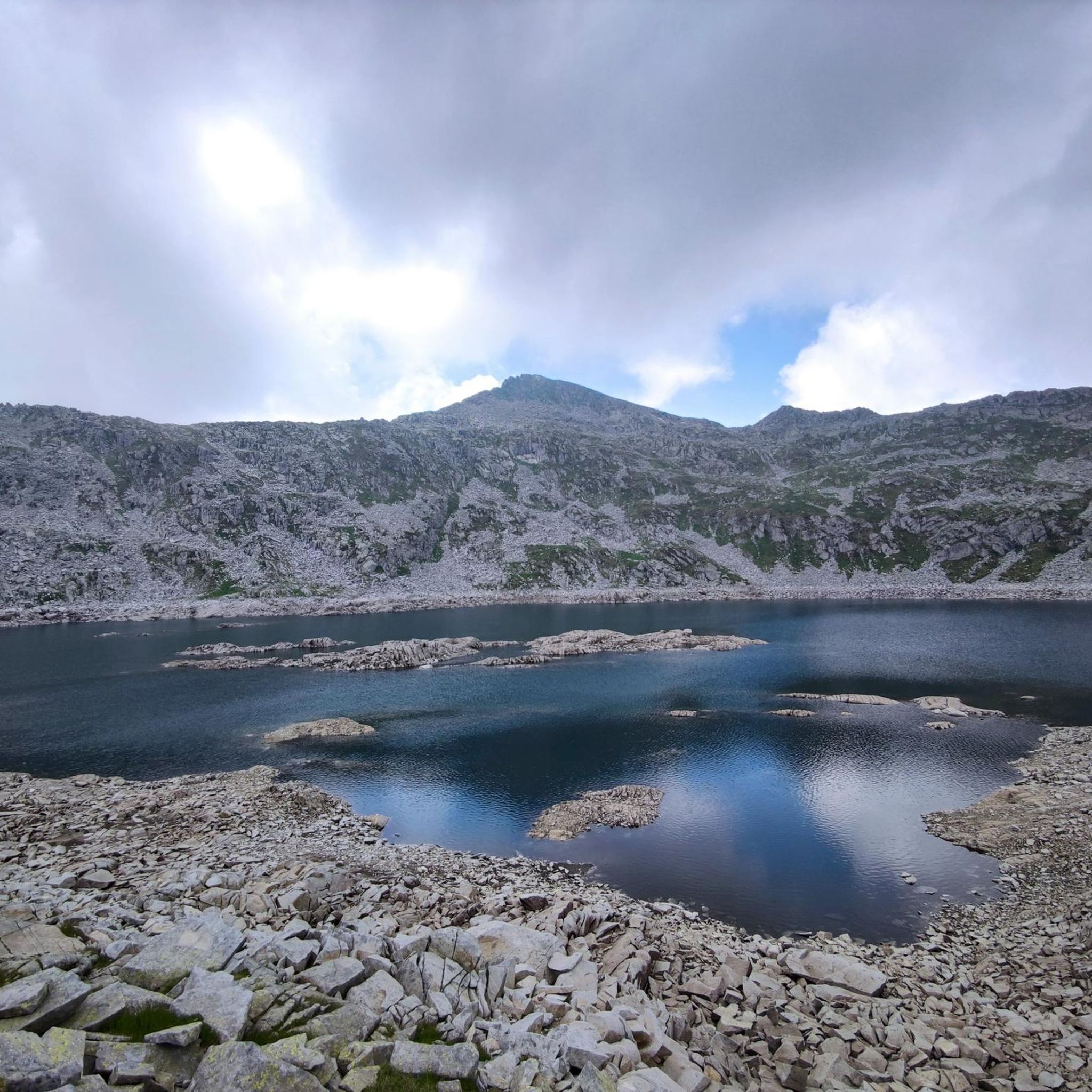
Alpine trail connecting mountain passes with reflective Lago di Salarno nestled in rocky terrain.

4.2
(9)
46
hikers
18.9km
09:54
1,610m
1,610m
Hard hike. Very good fitness required. Sure-footedness, sturdy shoes and alpine experience required.
4.0
(2)
45
hikers
12.4km
06:56
1,370m
1,360m
Hard hike. Very good fitness required. Sure-footedness, sturdy shoes and alpine experience required.
4.0
(6)
30
hikers
2.73km
00:49
90m
90m
Easy hike. Great for any fitness level. Easily-accessible paths. Suitable for all skill levels.
Get access to more routes and recommendations from other explorers.
Already have an account?
Our route recommendations are based on thousands of hikes, rides, and runs completed by other people on komoot.
Start today with a free account
Your next adventure awaits.





Tips from the Community

Great view, but getting there is not easy
0
0

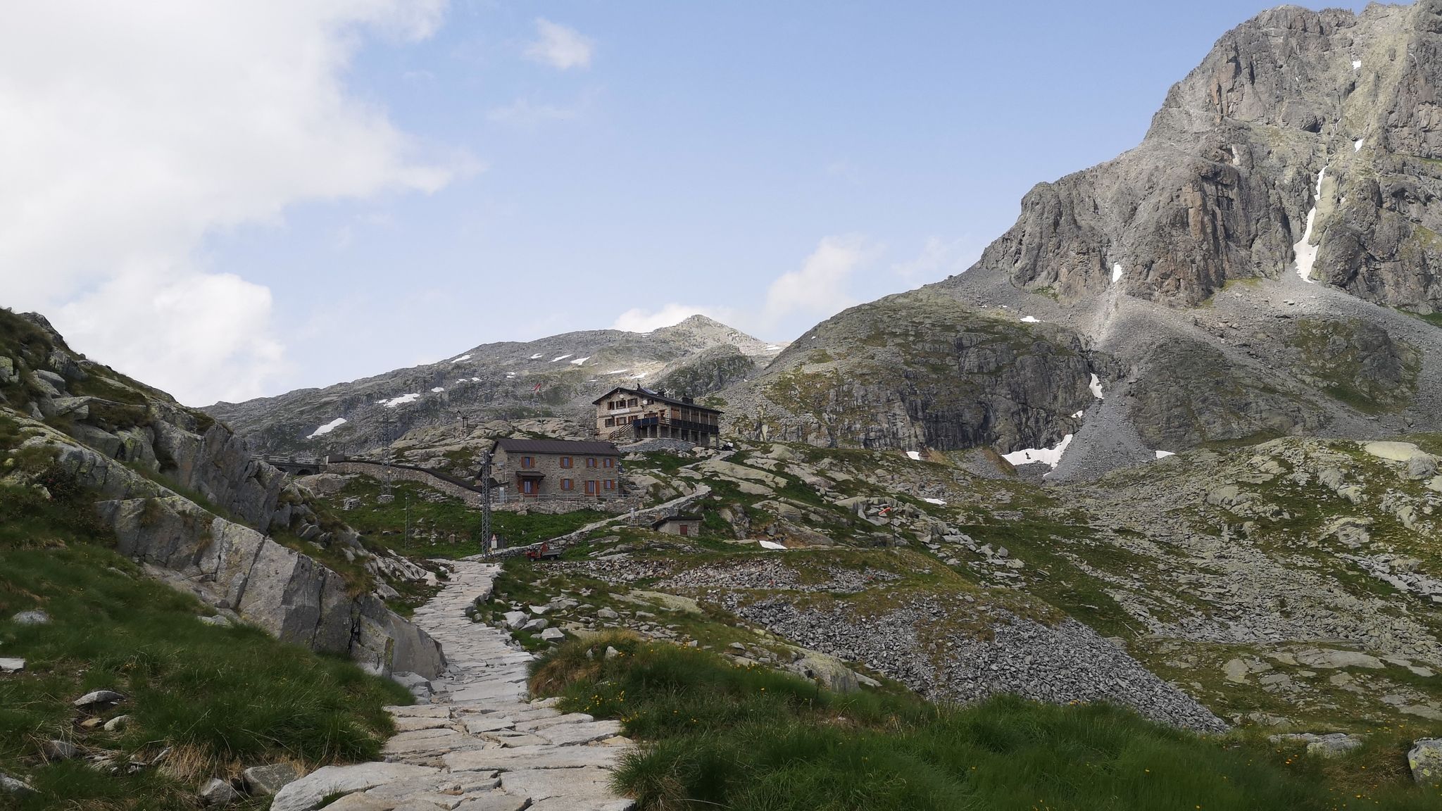
The Maria e Franco refuge is located at 2,574 meters at the Dernal pass and is the ideal refuge for those in search of tranquility and silence. The refuge is inserted in an intact natural environment where it is possible to meet various wild animals. From here a wonderful panorama opens up, you can see the peaks of Adamello, Carè Alto, Tredemus, Re di Castello, Val di Dois and your gaze can almost make out Lake Iseo.
4
0

Excellent bivouac on the ridge with 4 beds.
0
0

Very simple mountain hut. For what feels like 100 years, nothing has changed in the furnishings and equipment. reception, bar, kitchen, dining room; all in one room.
2
0

A real refuge that will serve those who reach the Dernal pass.
0
0
Frequently Asked Questions
How many hiking trails are available around Ceto?
Ceto offers a diverse network of over 10 hiking routes. These trails vary in difficulty, ranging from easy walks to challenging mountain ascents, catering to different experience levels.
What types of landscapes can I expect to see while hiking in Ceto?
Hiking around Ceto features varied terrain, including valley paths in Val Paghera, alpine routes leading to mountain refuges, and high-altitude lakes. You'll also find historical sites, such as ancient rock engravings, integrated into the natural landscape.
Are there any easy hiking trails suitable for beginners or families in Ceto?
Yes, Ceto has easy trails. For example, the Valcamonica Rock Engravings loop from Ono San Pietro is an easy 2.7 km hike that takes about 50 minutes to complete, offering a cultural experience alongside a gentle walk.
What is the typical duration for hikes in Ceto?
Hike durations in Ceto vary significantly based on the trail's difficulty and length. Easy routes like the Valcamonica Rock Engravings loop can be completed in under an hour, while more challenging trails such as the Case Val Paghera di Ceto – Bivacco Capanna Mattia loop from Case delle Valli can take around 8 hours.
What are the difficulty levels of hiking trails in Ceto?
The trails around Ceto offer a range of difficulties. There are 2 easy routes, 6 moderate routes, and 6 difficult routes. This variety ensures options for hikers of all skill levels, from leisurely strolls to demanding alpine ascents.
Are there any circular hiking routes in Ceto?
Yes, Ceto offers circular routes. A notable example is the Case Val Paghera di Ceto – Bivacco Capanna Mattia loop from Case delle Valli, which is a difficult 15.7 km trail through Val Paghera.
What do other hikers say about the trails in Ceto?
The hiking routes in Ceto are highly rated by the komoot community, with an average score of 4.5 stars from over 1,300 reviews. More than 10,000 hikers have used komoot to explore Ceto's varied terrain, often praising the diverse landscapes and well-maintained paths.
Are there any specific attractions or points of interest along the hiking trails in Ceto?
Yes, hikers can discover several points of interest. Along various routes, you might encounter mountain passes like Campelli Pass and Passo Crocedomini, or huts such as Campione Hut and Città di Lissone Hut. The region is also known for its historical rock engraving sites.
Can I find trails that lead to high-altitude lakes in Ceto?
Yes, some trails in Ceto lead to high-altitude lakes. The Monsignor Giovanni Antonioli Trail from Forcellino di Mare to Lago della Vacca is a moderate 6.8 km path that specifically leads to Lago della Vacca, offering scenic views of the lake and surrounding peaks.
Are there any challenging multi-hour hikes in Ceto for experienced hikers?
Experienced hikers will find several challenging options. The Monsignor Giovanni Antonioli Trail is a difficult 11.4 km route with significant elevation gain, typically taking around 5 hours and 40 minutes to complete. Another demanding option is the Rifugio Gheza loop from Case Scalassone, a difficult 13.1 km trail.
What kind of natural monuments can be found near Ceto's hiking trails?
Hikers can discover natural monuments such as Corna Bianca, a notable natural feature in the area. Additionally, mountain peaks like Mount Campioncino offer impressive natural vistas.
Most popular attractions around Ceto

Get inspired with the komoot mobile app


Explore more
Browse the best Hikes in other regions.
